Elevation of N Merchant St, Belle Plaine, KS, USA
Location: United States > Kansas > Sumner County > Belle Plaine Township > Belle Plaine >
Longitude: -97.280804
Latitude: 37.3939903
Elevation: 373m / 1224feet
Barometric Pressure: 97KPa
Elevation Map:
Satellite Map:
Related Photos:
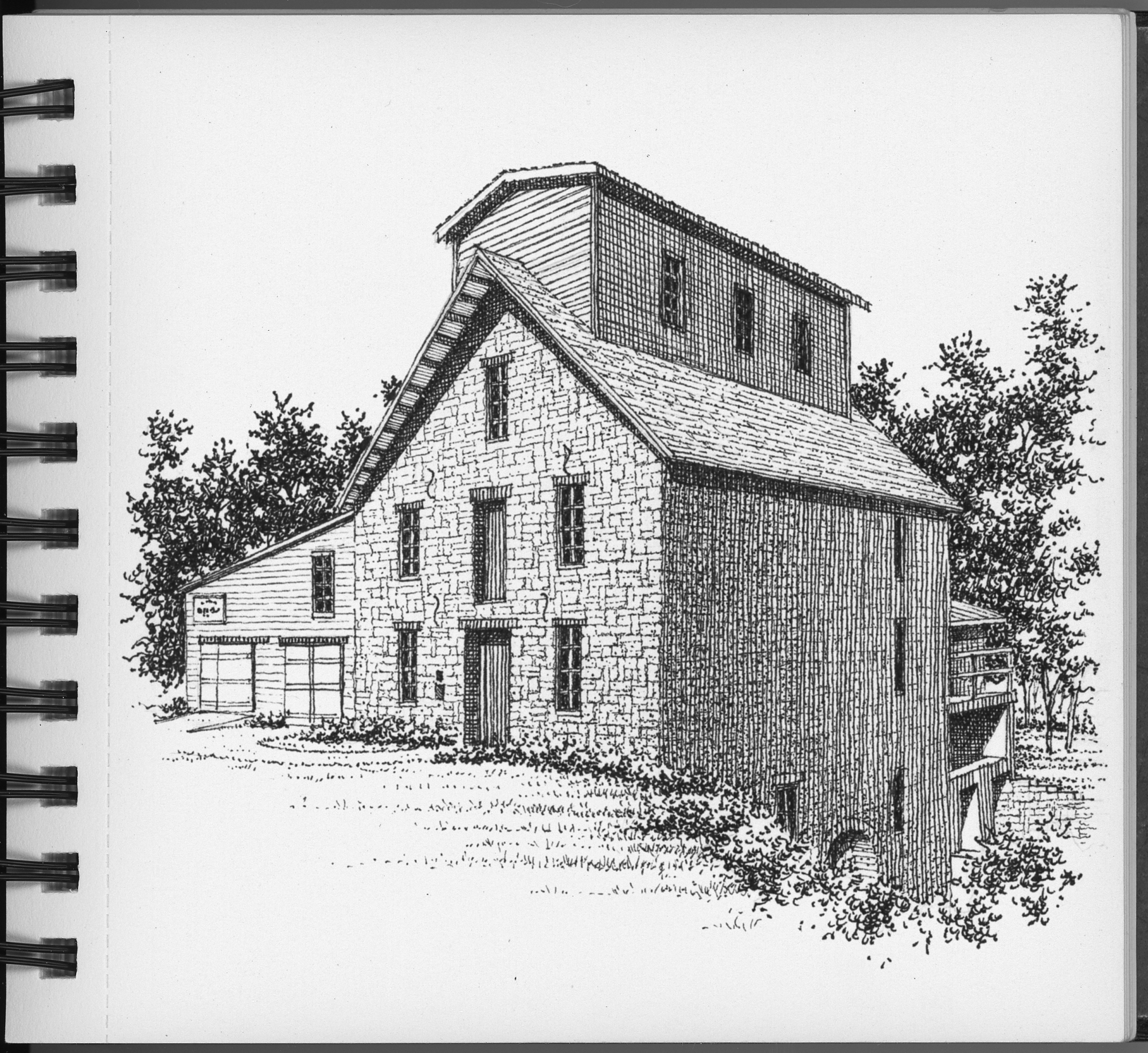
The Old Oxford Mill
P4118195 copy
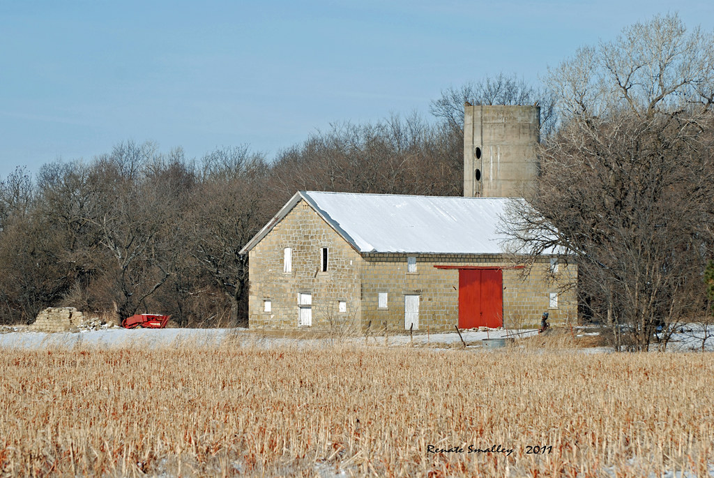
Limestone Barn

Old Oxford Mill
Day 160 - Original
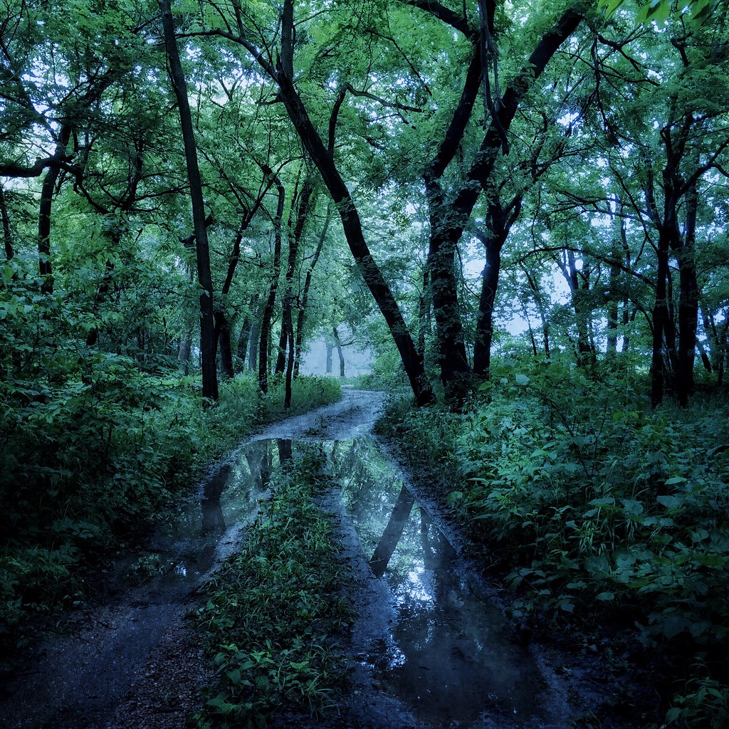
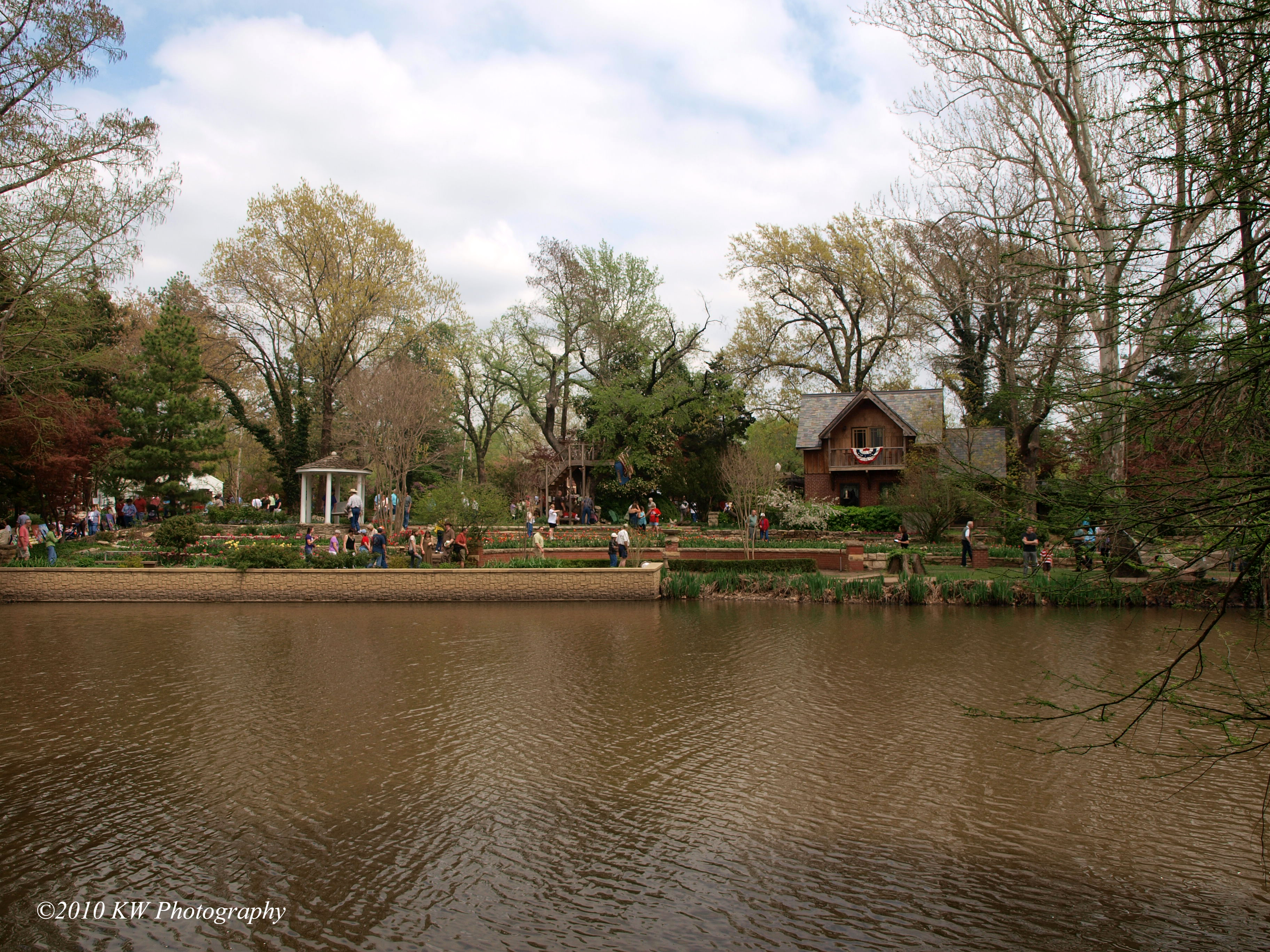
The Woods by the Old Mill
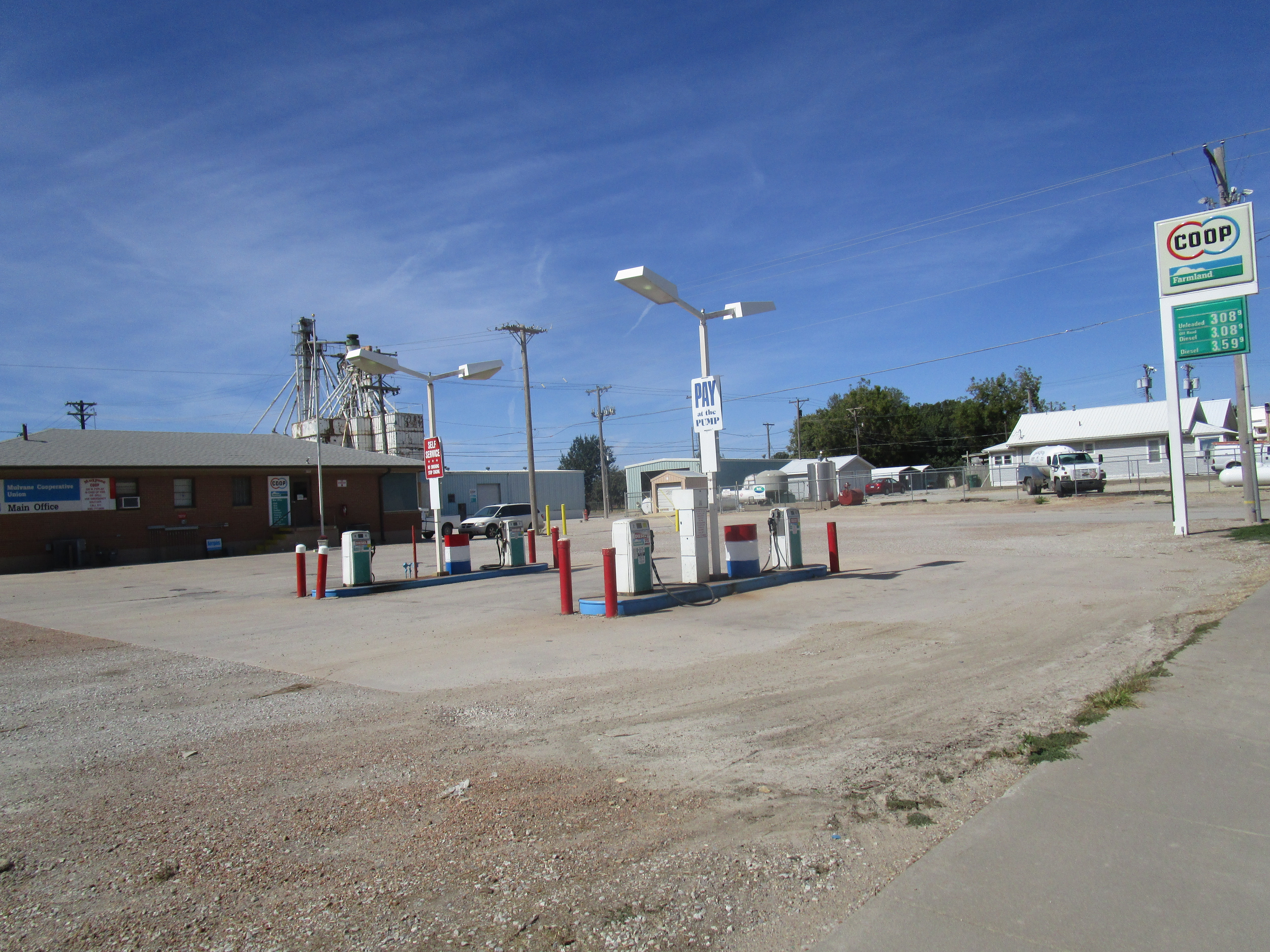
Mulvane Co-op
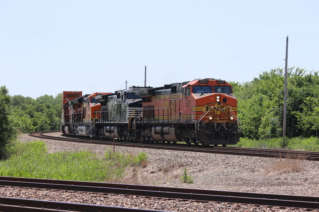
BNSF intermodal approaches Mulvane KS

K-15 Car Fire
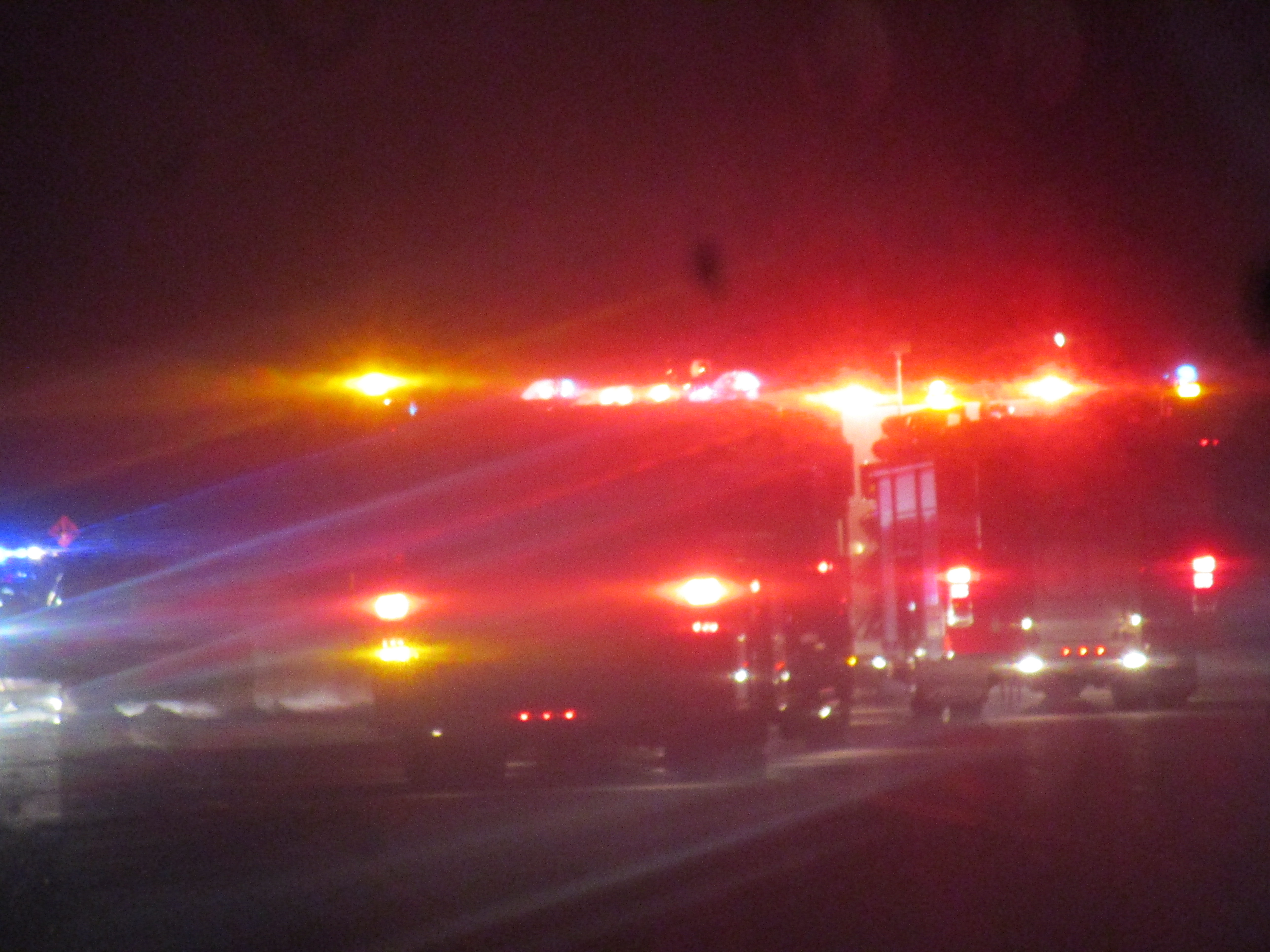
K-15 Car Fire
Wait. What? Did I miss the sequel? #sowrong

Chisholm Trail in Sumner County Marker (Sumner County, Kansas)

Chisholm Trail in Sumner County Marker (Sumner County, Kansas)
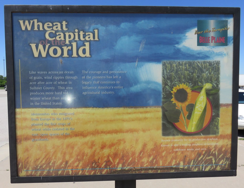
Wheat Capital of the World Marker (Sumner County, Kansas)
Little To Show
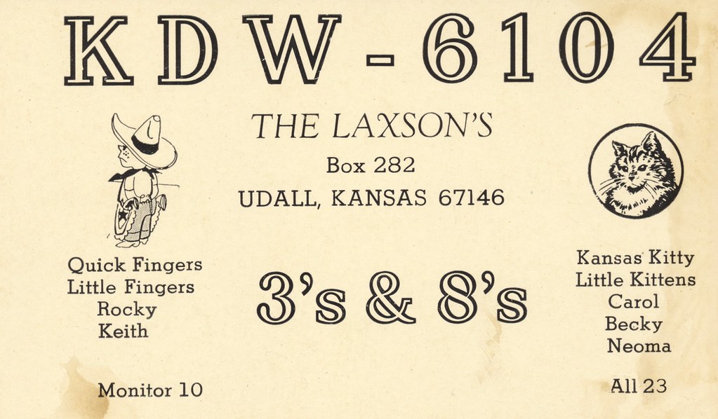
The Laxsos - Udall, Kansas

Going to Wichita
Mulvane Firehouse 1

BG15 1044

BG15 1042

BG15 1034

BG15 1035
Topographic Map of N Merchant St, Belle Plaine, KS, USA
Find elevation by address:

Places near N Merchant St, Belle Plaine, KS, USA:
Belle Plaine
Belle Plaine Township
Palestine
634 N Seneca Rd
Mulvane
Hampton Inn & Suites I-35/mulvane
1390 E 30th Ave N
East Louis Boulevard
1224 Louis Dr
1226 Louis Dr
1228 Louis Dr
1441 Autumn Valley
3548 E 103rd St Ct S
E 50th Ave N, Belle Plaine, KS, USA
10611 S Broadway
Salem
E 95th St S, Haysville, KS, USA
Oxford
Wellington Koa Holiday
10047 S Meridian St
Recent Searches:
- Elevation of 6 Rue Jules Ferry, Beausoleil, France
- Elevation of Sattva Horizon, 4JC6+G9P, Vinayak Nagar, Kattigenahalli, Bengaluru, Karnataka, India
- Elevation of Great Brook Sports, Gold Star Hwy, Groton, CT, USA
- Elevation of 10 Mountain Laurels Dr, Nashua, NH, USA
- Elevation of 16 Gilboa Ln, Nashua, NH, USA
- Elevation of Laurel Rd, Townsend, TN, USA
- Elevation of 3 Nestling Wood Dr, Long Valley, NJ, USA
- Elevation of Ilungu, Tanzania
- Elevation of Yellow Springs Road, Yellow Springs Rd, Chester Springs, PA, USA
- Elevation of Rēzekne Municipality, Latvia