Elevation of Vistar Colony, Gorakhpur, Uttar Pradesh, India
Location: India > Uttar Pradesh > Bashratpur > Gorakhpur >
Longitude: 83.356231
Latitude: 26.8015942
Elevation: 79m / 259feet
Barometric Pressure: 100KPa
Elevation Map:
Satellite Map:
Related Photos:

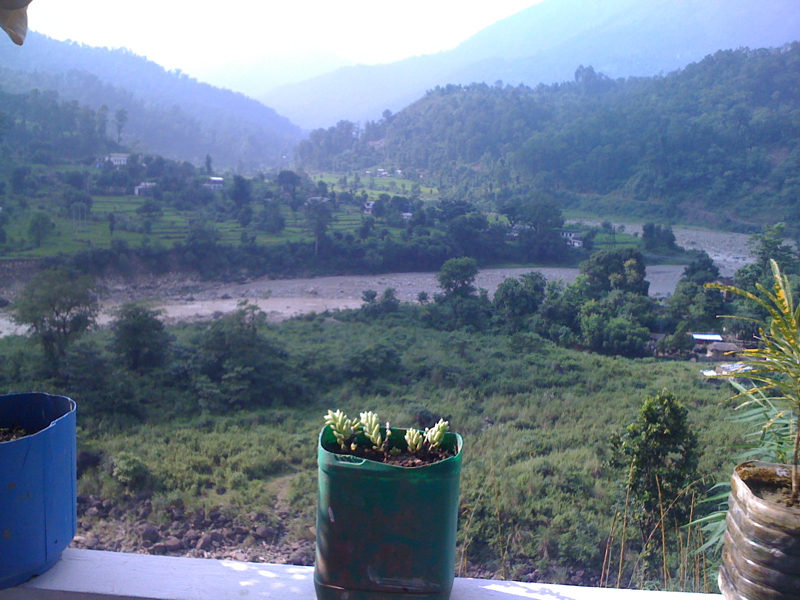
GIDAHWA VIEW

HATWA VIEW
HATWA VIEW

GIDAHWA VIEW

HATWA VIEW

BANSAHWA VIEW

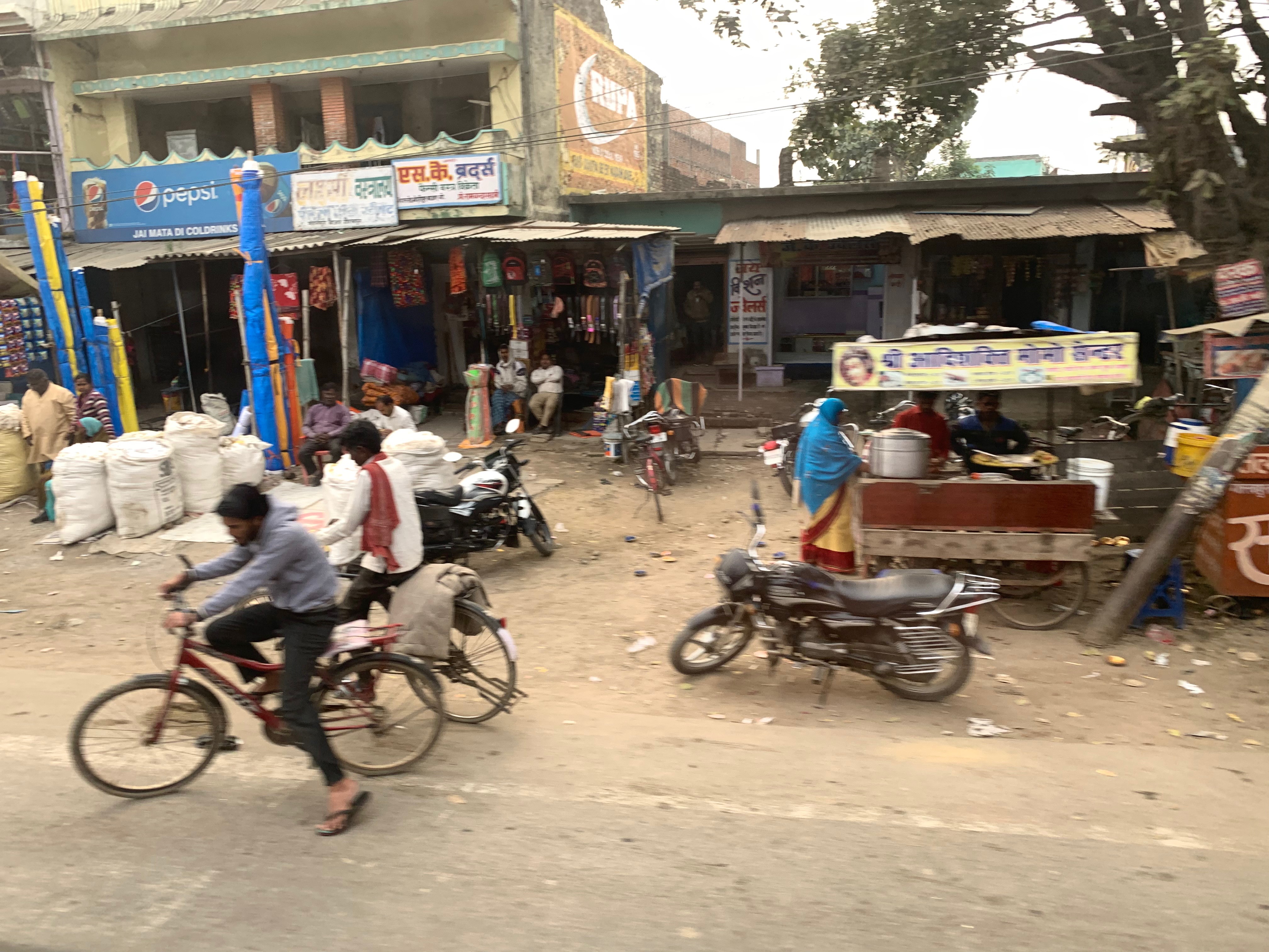
On the road between Gorakhpur and Sunauli, India

DSC_5071 copy

080917-G7-036
Crossed Nepal border
Topographic Map of Vistar Colony, Gorakhpur, Uttar Pradesh, India
Find elevation by address:

Places near Vistar Colony, Gorakhpur, Uttar Pradesh, India:
Central Academy Vikas Nagar Vistar ,bargadwa Gorakhpur
Bargadwa
Jangal Mehtab Rai
Siktaur
Balapar
Maniram Railway Station
Gorakhpur
Bashratpur
Gorakhpur
Azizullah Urf Chakia
Sant Kabir Nagar
Maharajganj
Kushinagar
Lumbini
Sonauli
Piprahawa
Palta Devi
India Nepal Border, Sonauli
Ganges
Lumbini Sanskritik
Recent Searches:
- Elevation of Bydgoszcz, Poland
- Elevation of Bydgoszcz, Poland
- Elevation of Calais Dr, Del Mar, CA, USA
- Elevation of Placer Mine Ln, West Jordan, UT, USA
- Elevation of E 63rd St, New York, NY, USA
- Elevation of Elk City, OK, USA
- Elevation of Erika Dr, Windsor, CA, USA
- Elevation of Village Ln, Finleyville, PA, USA
- Elevation of 24 Oakland Rd #, Scotland, ON N0E 1R0, Canada
- Elevation of Deep Gap Farm Rd E, Mill Spring, NC, USA