Elevation map of Maharajganj, Uttar Pradesh, India
Location: India > Uttar Pradesh >
Longitude: 83.5070203
Latitude: 27.1177463
Elevation: 89m / 292feet
Barometric Pressure: 100KPa
Elevation Map:
Satellite Map:
Related Photos:
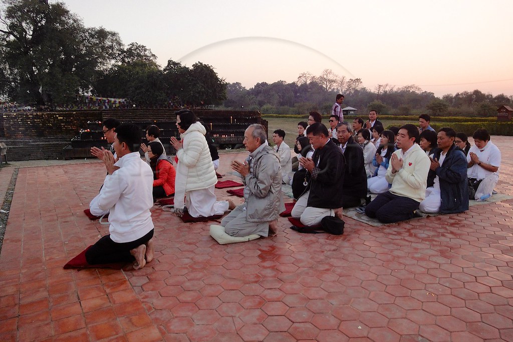
20130210-Portrait-002
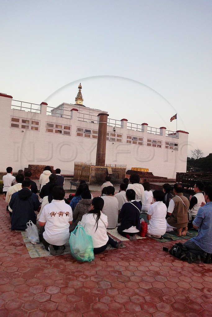
20130210-Portrait-003

20130210-Portrait-004

20130210-Portrait-005
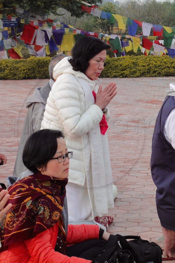
20130210-Portrait-006
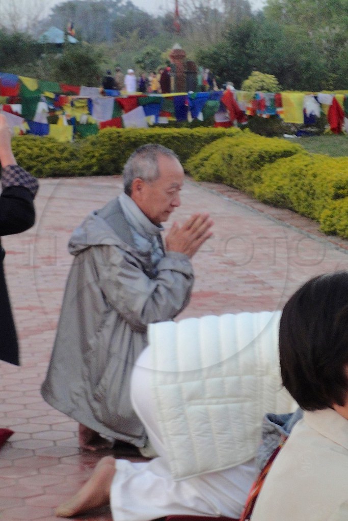
20130210-Portrait-007
20130210-Portrait-008

20130210-Portrait-009
20130210-Portrait-010
20130210-Portrait-011
20130210-iPhone3GS-003
20130210-iPhone3GS-004
Topographic Map of Maharajganj, Uttar Pradesh, India
Find elevation by address:

Places near Maharajganj, Uttar Pradesh, India:
Balapar
Maniram Railway Station
Siktaur
Azizullah Urf Chakia
Central Academy Vikas Nagar Vistar ,bargadwa Gorakhpur
Vistar Colony
Bargadwa
Sonauli
India Nepal Border, Sonauli
Jangal Mehtab Rai
Gorakhpur
Bashratpur
Siddharthanagar
Shiva Flex Printing Parsahawa Marchawar
Gorakhpur
Lumbini
Ramgram
Lumbini Sanskritik
Piprahawa
Sauraha Pharsatikar
Recent Searches:
- Elevation of Badaber, Peshawar, Khyber Pakhtunkhwa, Pakistan
- Elevation of SE Heron Loop, Lincoln City, OR, USA
- Elevation of Slanický ostrov, 01 Námestovo, Slovakia
- Elevation of Spaceport America, Co Rd A, Truth or Consequences, NM, USA
- Elevation of Warwick, RI, USA
- Elevation of Fern Rd, Whitmore, CA, USA
- Elevation of 62 Abbey St, Marshfield, MA, USA
- Elevation of Fernwood, Bradenton, FL, USA
- Elevation of Felindre, Swansea SA5 7LU, UK
- Elevation of Leyte Industrial Development Estate, Isabel, Leyte, Philippines