Elevation map of Gorakhpur, Uttar Pradesh, India
Location: India > Uttar Pradesh >
Longitude: 83.336188
Latitude: 26.7346743
Elevation: 75m / 246feet
Barometric Pressure: 100KPa
Elevation Map:
Satellite Map:
Related Photos:

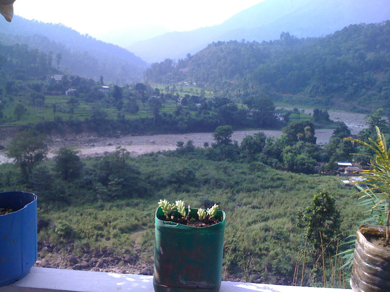
GIDAHWA VIEW

HATWA VIEW
HATWA VIEW

GIDAHWA VIEW

HATWA VIEW

BANSAHWA VIEW

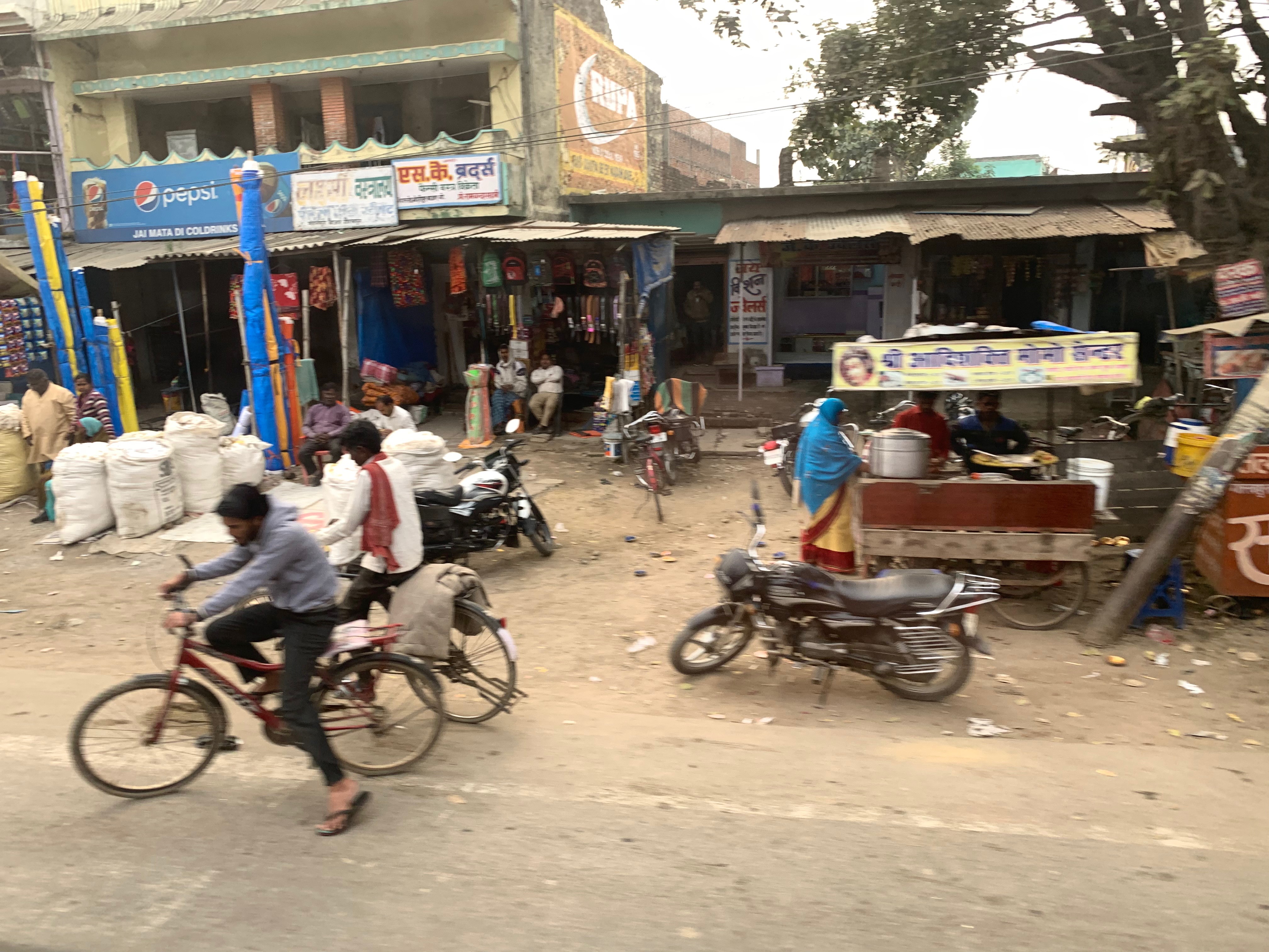
On the road between Gorakhpur and Sunauli, India

DSC_5071 copy

080917-G7-036
Crossed Nepal border
Topographic Map of Gorakhpur, Uttar Pradesh, India
Find elevation by address:

Places in Gorakhpur, Uttar Pradesh, India:
Places near Gorakhpur, Uttar Pradesh, India:
Bashratpur
Gorakhpur
Jangal Mehtab Rai
Vistar Colony
Central Academy Vikas Nagar Vistar ,bargadwa Gorakhpur
Bargadwa
Siktaur
Maniram Railway Station
Balapar
Azizullah Urf Chakia
Sant Kabir Nagar
Maharajganj
Kushinagar
Lumbini
Palta Devi
Ganges
Piprahawa
Sonauli
India Nepal Border, Sonauli
Lumbini Sanskritik
Recent Searches:
- Elevation of Dog Leg Dr, Minden, NV, USA
- Elevation of Dog Leg Dr, Minden, NV, USA
- Elevation of Kambingan Sa Pansol Atbp., Purok 7 Pansol, Candaba, Pampanga, Philippines
- Elevation of Pinewood Dr, New Bern, NC, USA
- Elevation of Mountain View, CA, USA
- Elevation of Foligno, Province of Perugia, Italy
- Elevation of Blauwestad, Netherlands
- Elevation of Bella Terra Blvd, Estero, FL, USA
- Elevation of Estates Loop, Priest River, ID, USA
- Elevation of Woodland Oak Pl, Thousand Oaks, CA, USA