Elevation of Valley View Rd, Mt Hope, WI, USA
Location: United States > Wisconsin > Grant County >
Longitude: -90.842245
Latitude: 43.0345039
Elevation: 296m / 971feet
Barometric Pressure: 98KPa
Elevation Map:
Satellite Map:
Related Photos:

far behind...
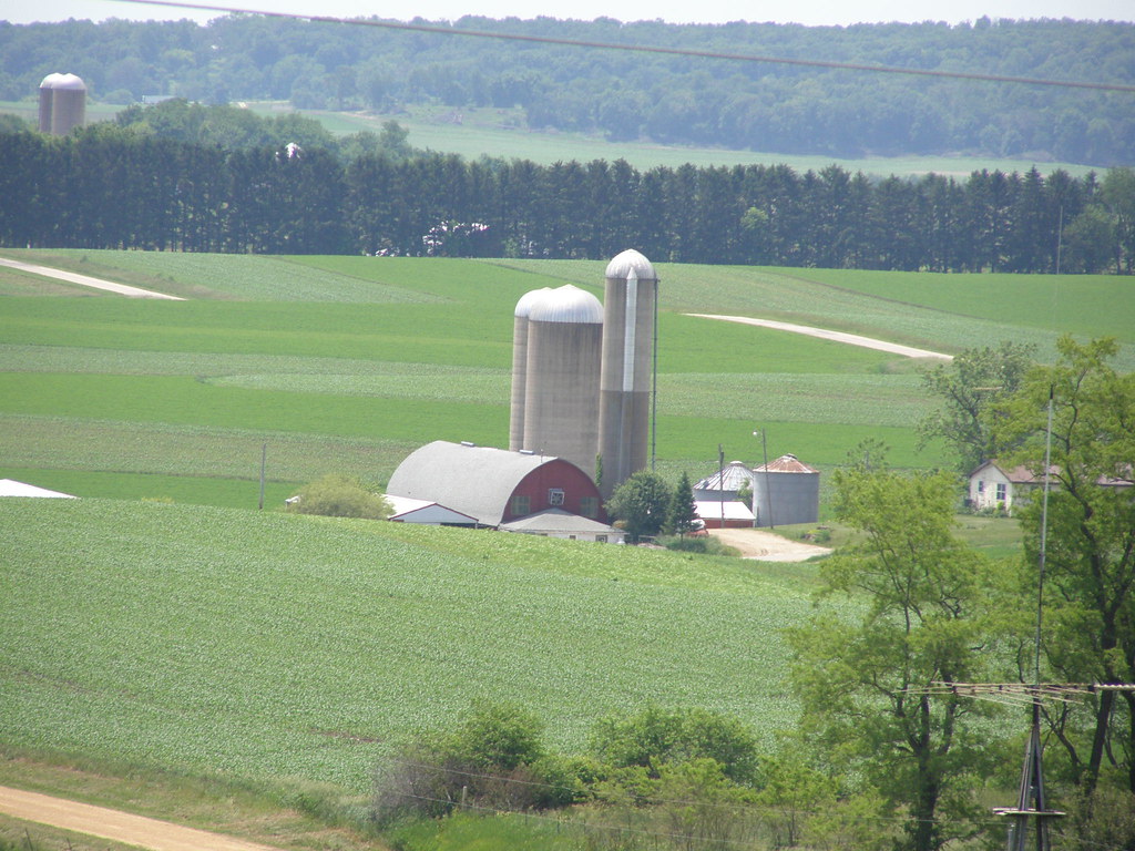
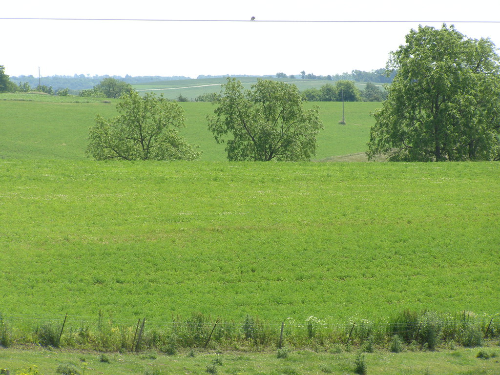
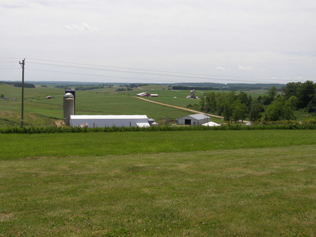
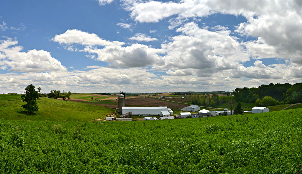
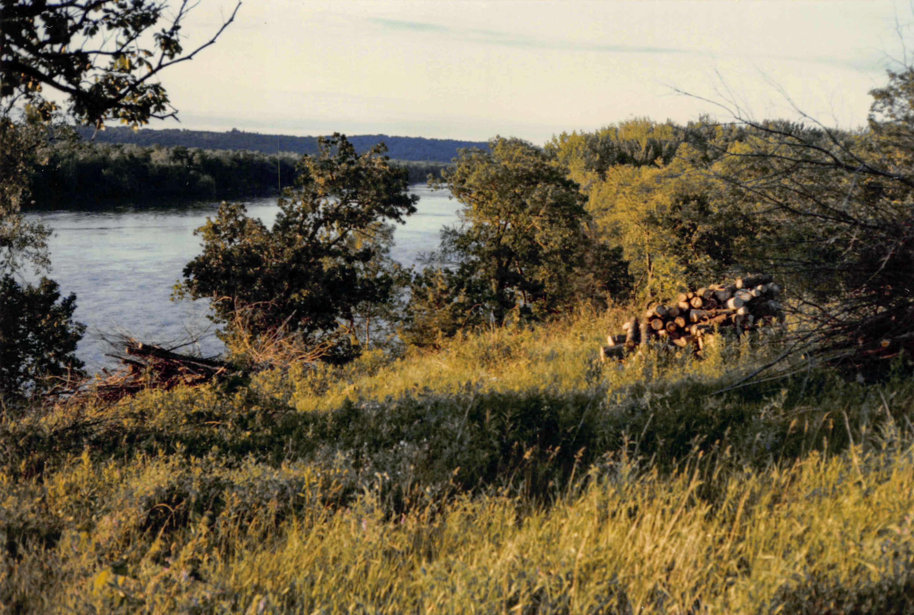
Wisconsin Views

Autumn Fields and Trees

Harvest Bales and Autumn Views

Wisconsin Hills Slip Into Autumn Panorama

Autumn Views
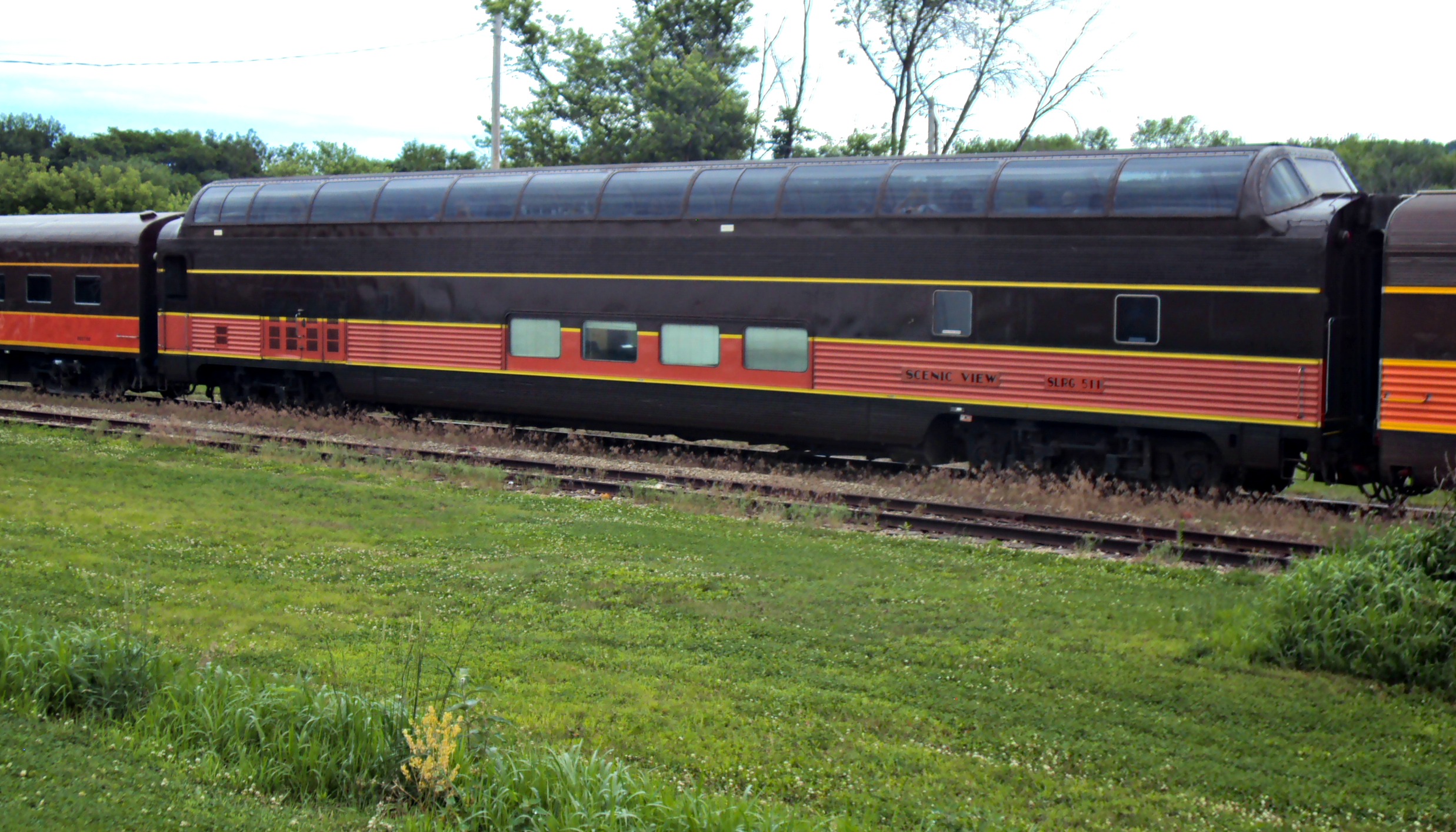
SLRG 511 (Scenic View)

Ultra Modern in Boscobel, Wi.

Old Railroad bridge
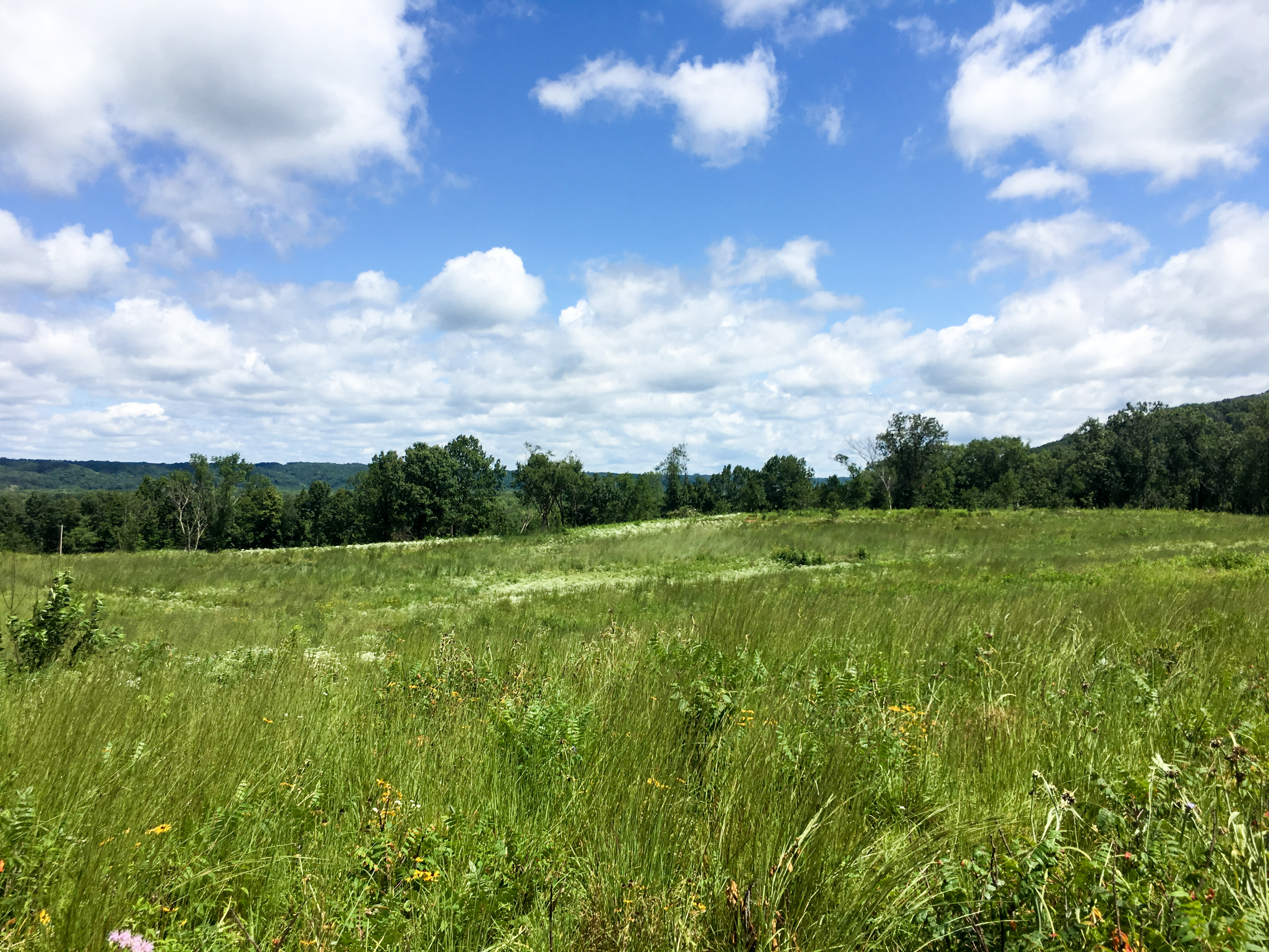
Wisconsin Views
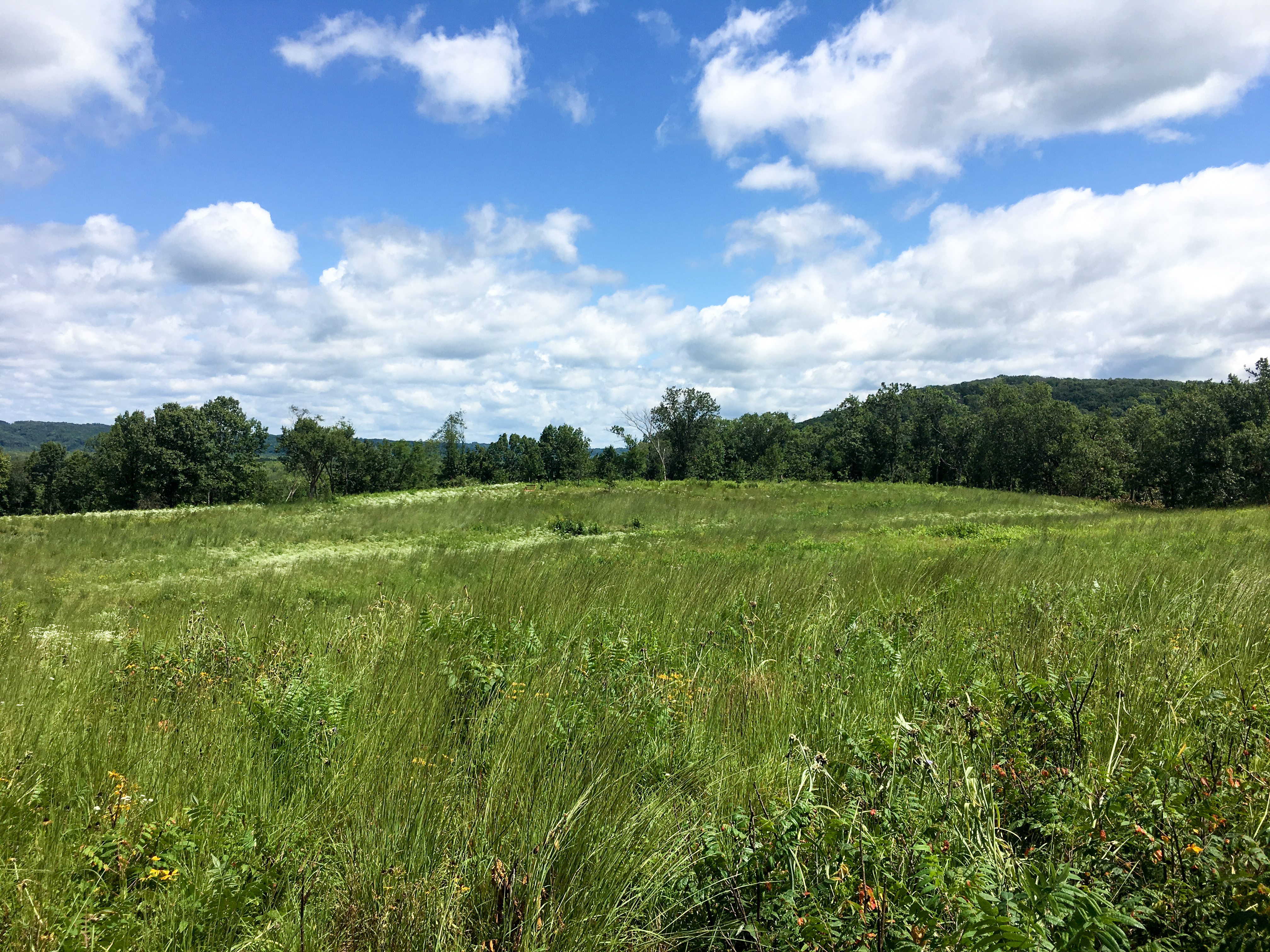
Wisconsin Views
Wisconsin Views
View looking northwest
Wisconsin Views

Autumn Gravel Road

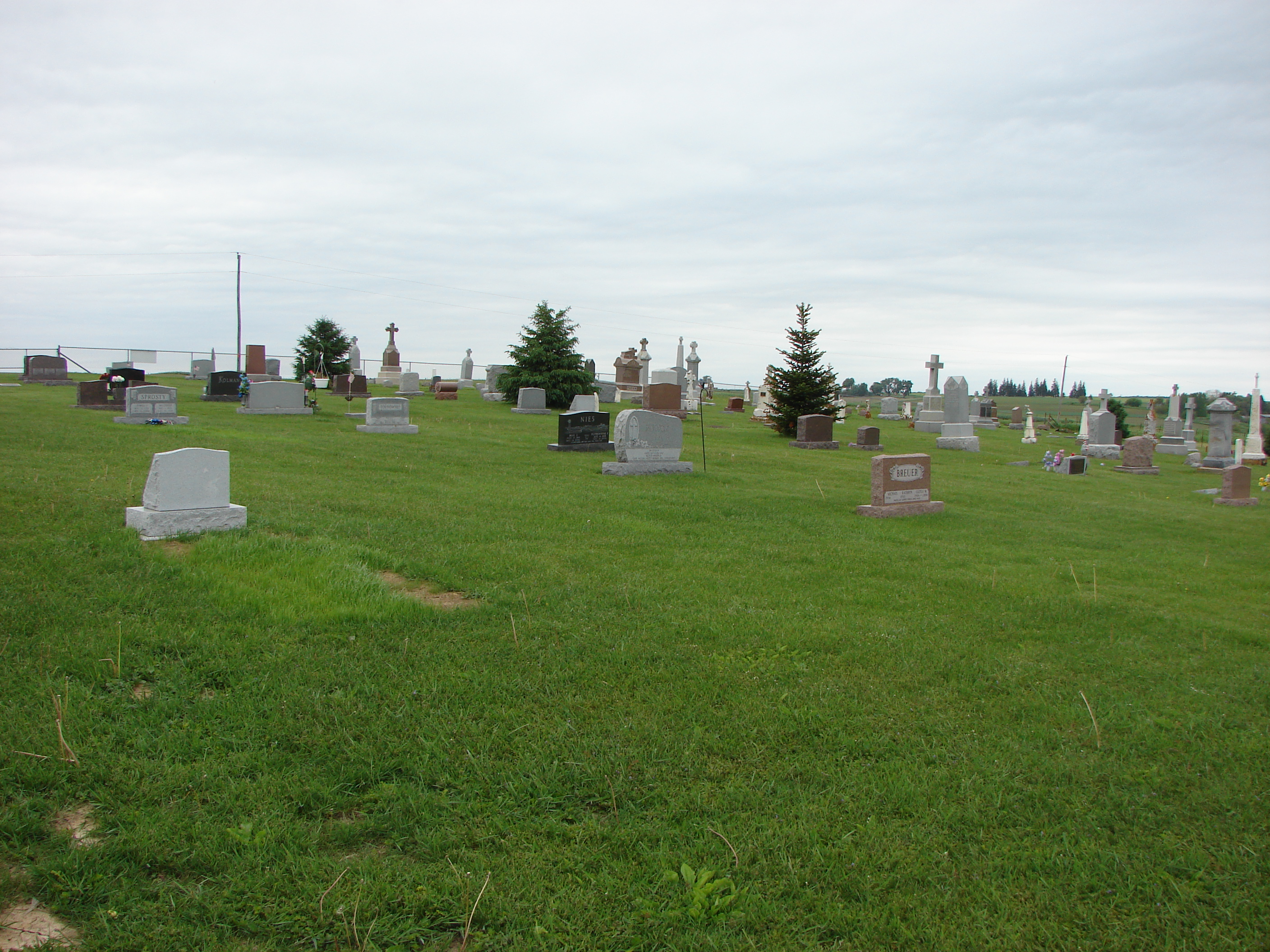
Living Landmark

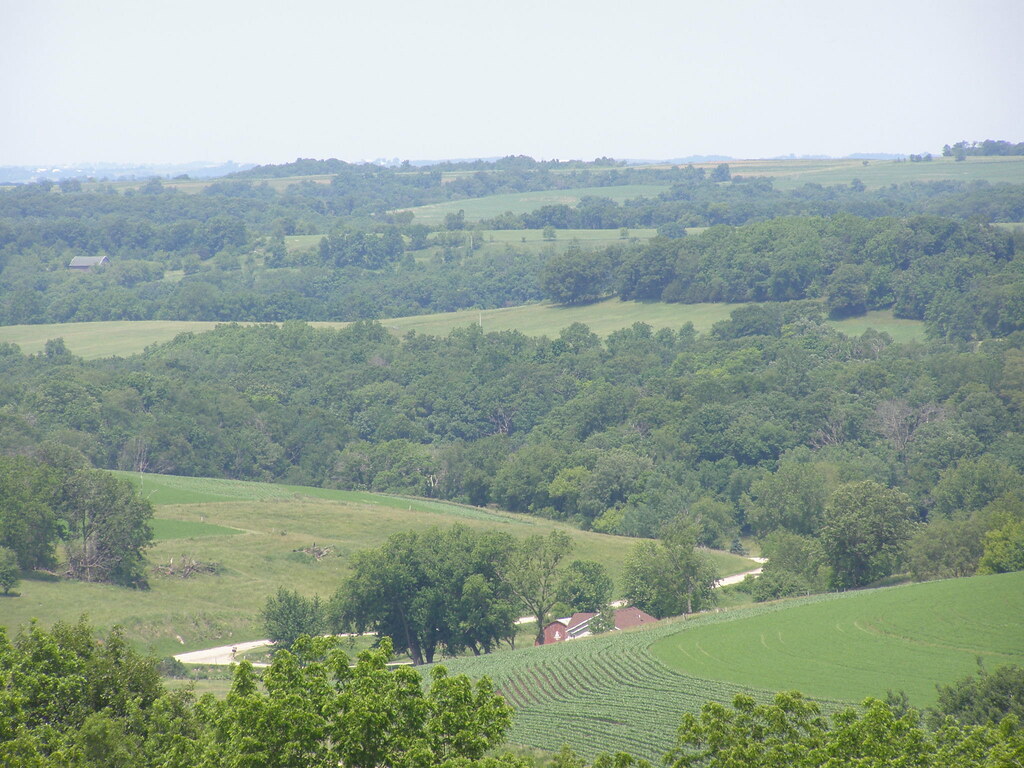
Kickapoo Valley

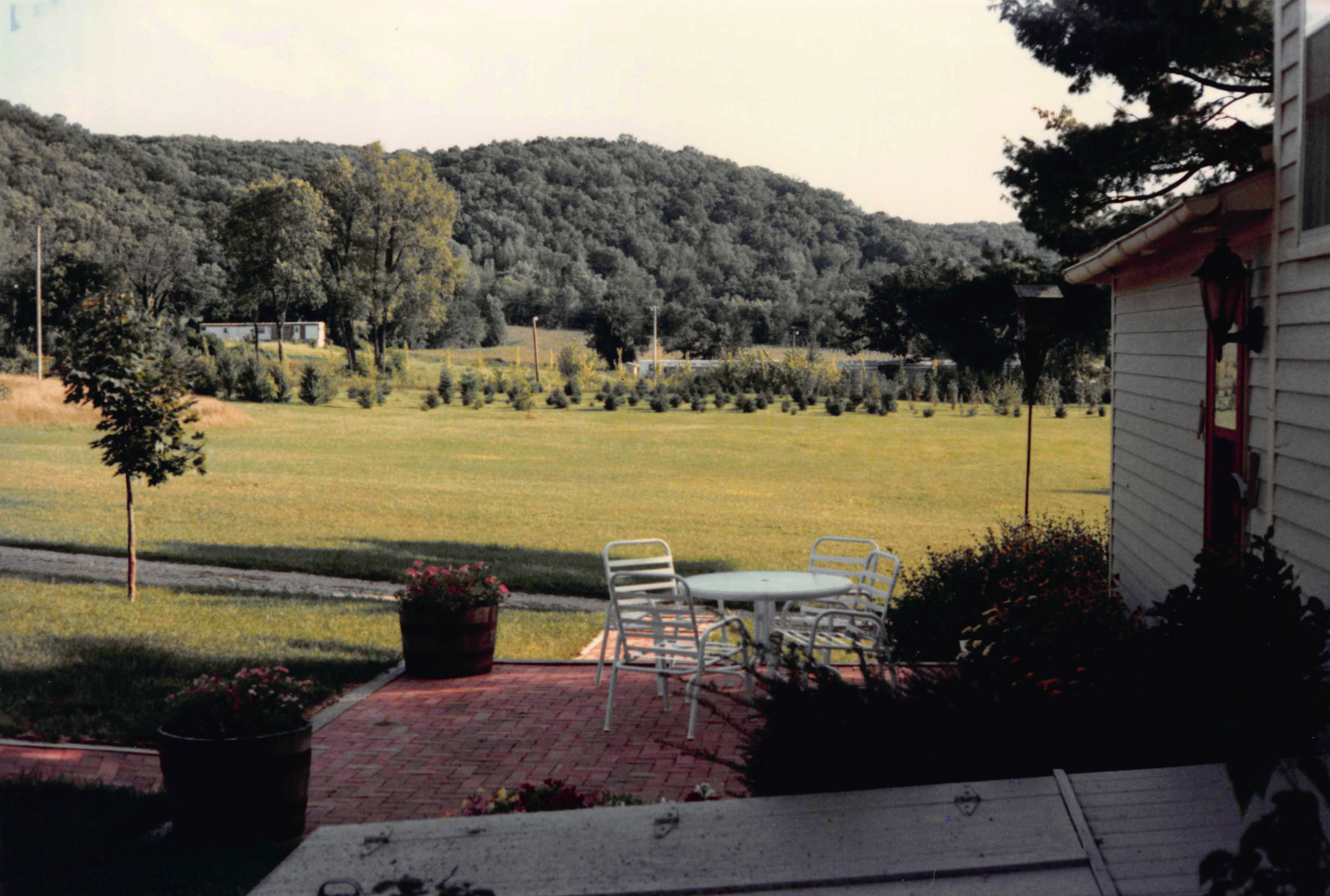
Babler1991-44
Different Seasons

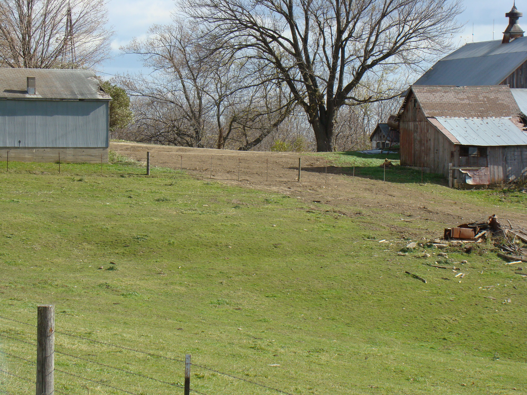
19950430_Jacks House_096

19850801_Jacks House_011

Sauk, Juneau, Marquette
08-04-17_jacks-matt_005
08-04-17_jacks-matt_003
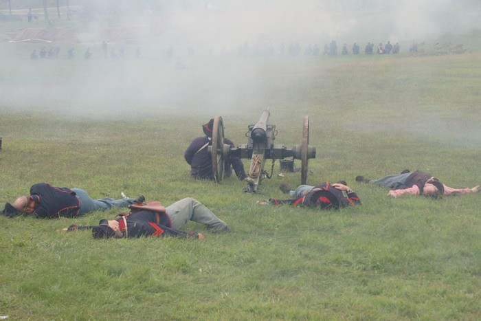
Through the smoke
farm 007 photo by Rick
19850801_Jacks House_010
farm 003 photo by Rick
19890730_Jacks House_010

07-21-16_Jack's_010
Topographic Map of Valley View Rd, Mt Hope, WI, USA
Find elevation by address:

Places near Valley View Rd, Mt Hope, WI, USA:
S Business St, Wauzeka, WI, USA
Patch Grove
Scenic Lane
Military Ridge Road
Wisconsin Ave, Boscobel, WI, USA
Boscobel
Grant County
Crawford County
Scott
Co Rd T, Boscobel, WI, USA
41826 County Rd W
53129 County Rd S
18133 Flynn Rd
18133 Flynn Rd
18133 Flynn Rd
Main St, Eastman, WI, USA
Seneca
Seneca
50977 O'neil Rd
18421 Studenberg Rd
Recent Searches:
- Elevation of Groblershoop, South Africa
- Elevation of Power Generation Enterprises | Industrial Diesel Generators, Oak Ave, Canyon Country, CA, USA
- Elevation of Chesaw Rd, Oroville, WA, USA
- Elevation of N, Mt Pleasant, UT, USA
- Elevation of 6 Rue Jules Ferry, Beausoleil, France
- Elevation of Sattva Horizon, 4JC6+G9P, Vinayak Nagar, Kattigenahalli, Bengaluru, Karnataka, India
- Elevation of Great Brook Sports, Gold Star Hwy, Groton, CT, USA
- Elevation of 10 Mountain Laurels Dr, Nashua, NH, USA
- Elevation of 16 Gilboa Ln, Nashua, NH, USA
- Elevation of Laurel Rd, Townsend, TN, USA