Elevation of Co Rd T, Boscobel, WI, USA
Location: United States > Wisconsin > Grant County > Boscobel >
Longitude: -90.622698
Latitude: 43.0860065
Elevation: 350m / 1148feet
Barometric Pressure: 97KPa
Elevation Map:
Satellite Map:
Related Photos:

Ultra Modern in Boscobel, Wi.

Igor of Fennimore
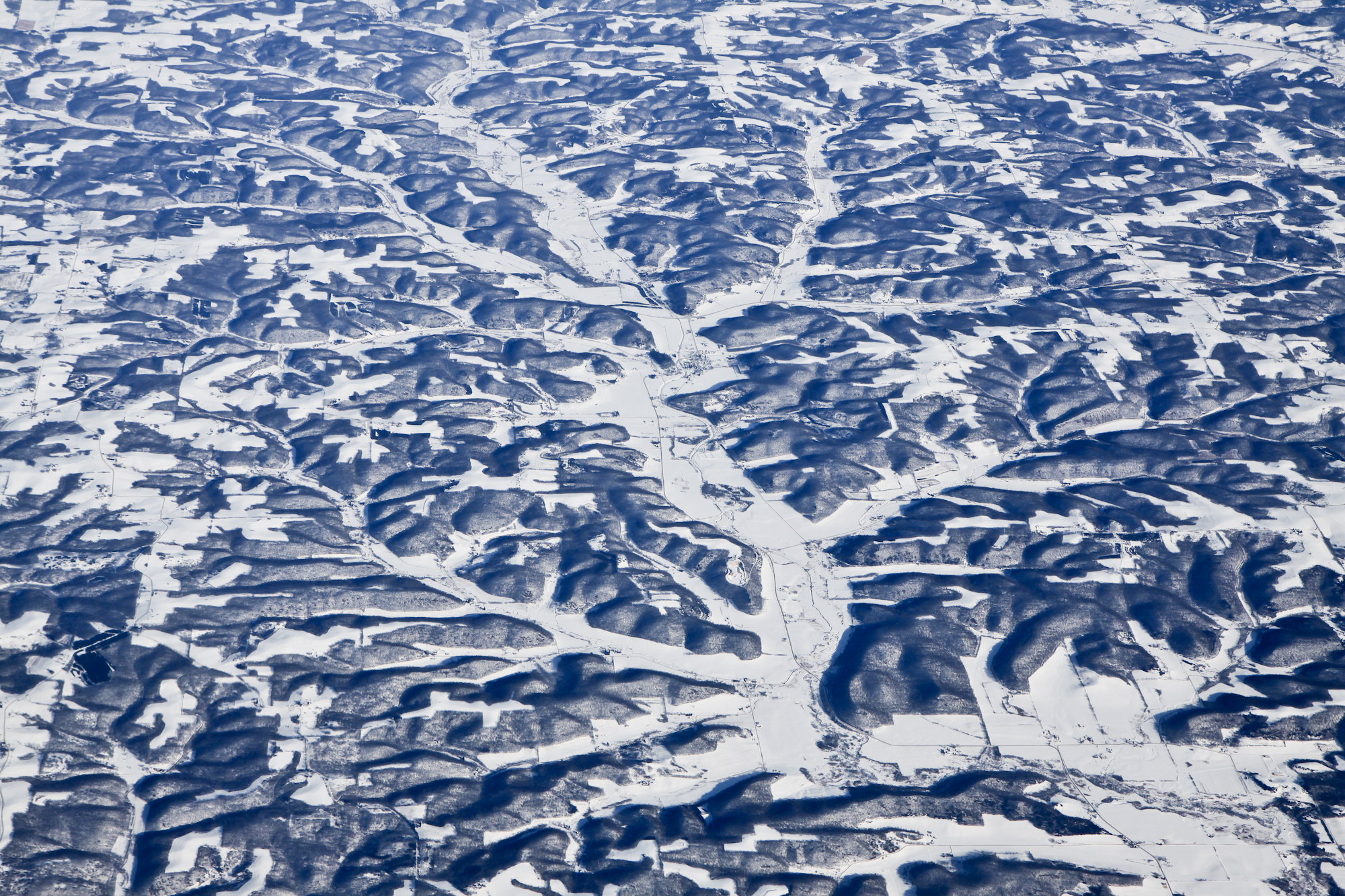
Wisconsin from above

The Blue River Bluffs
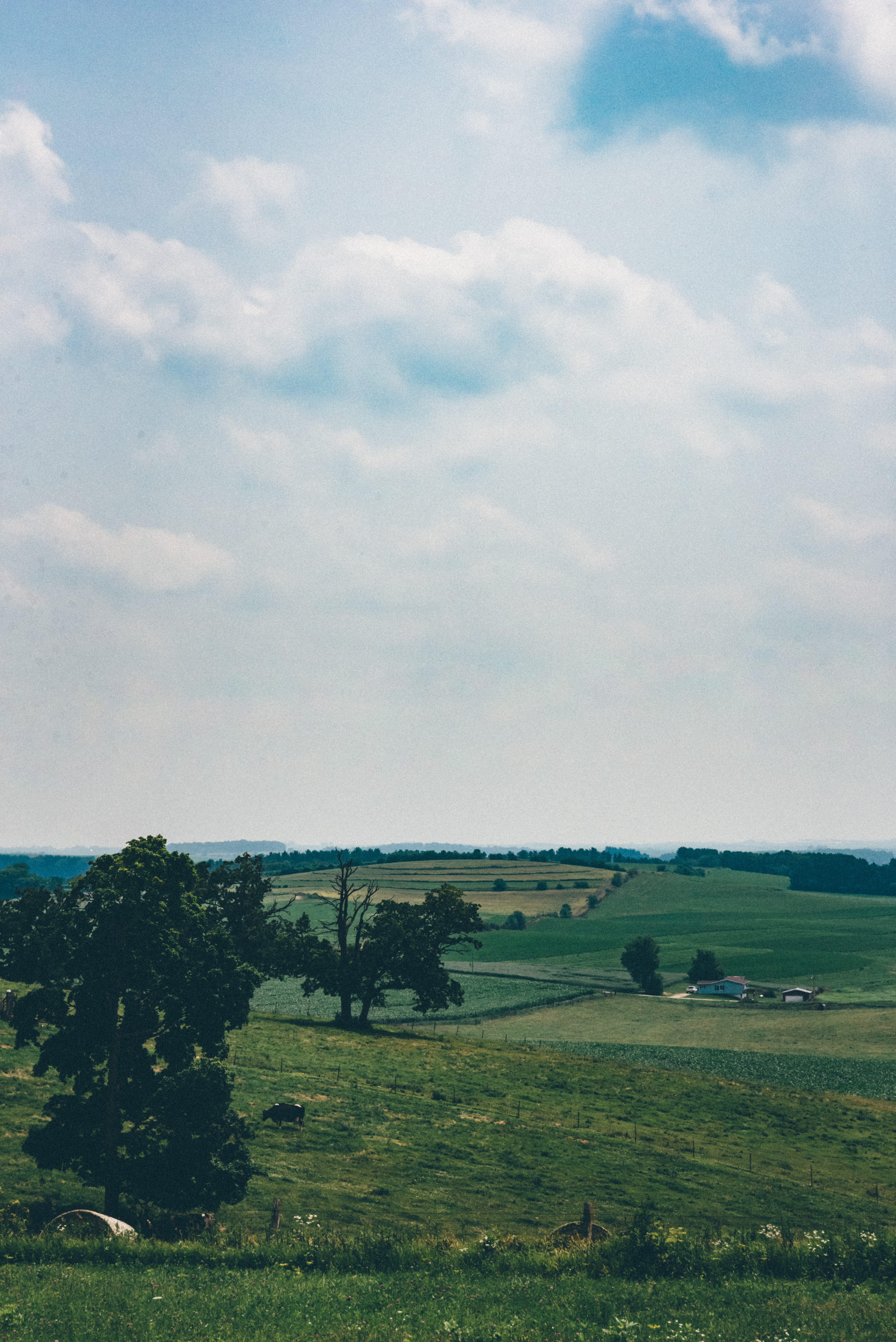
Elysian Fields
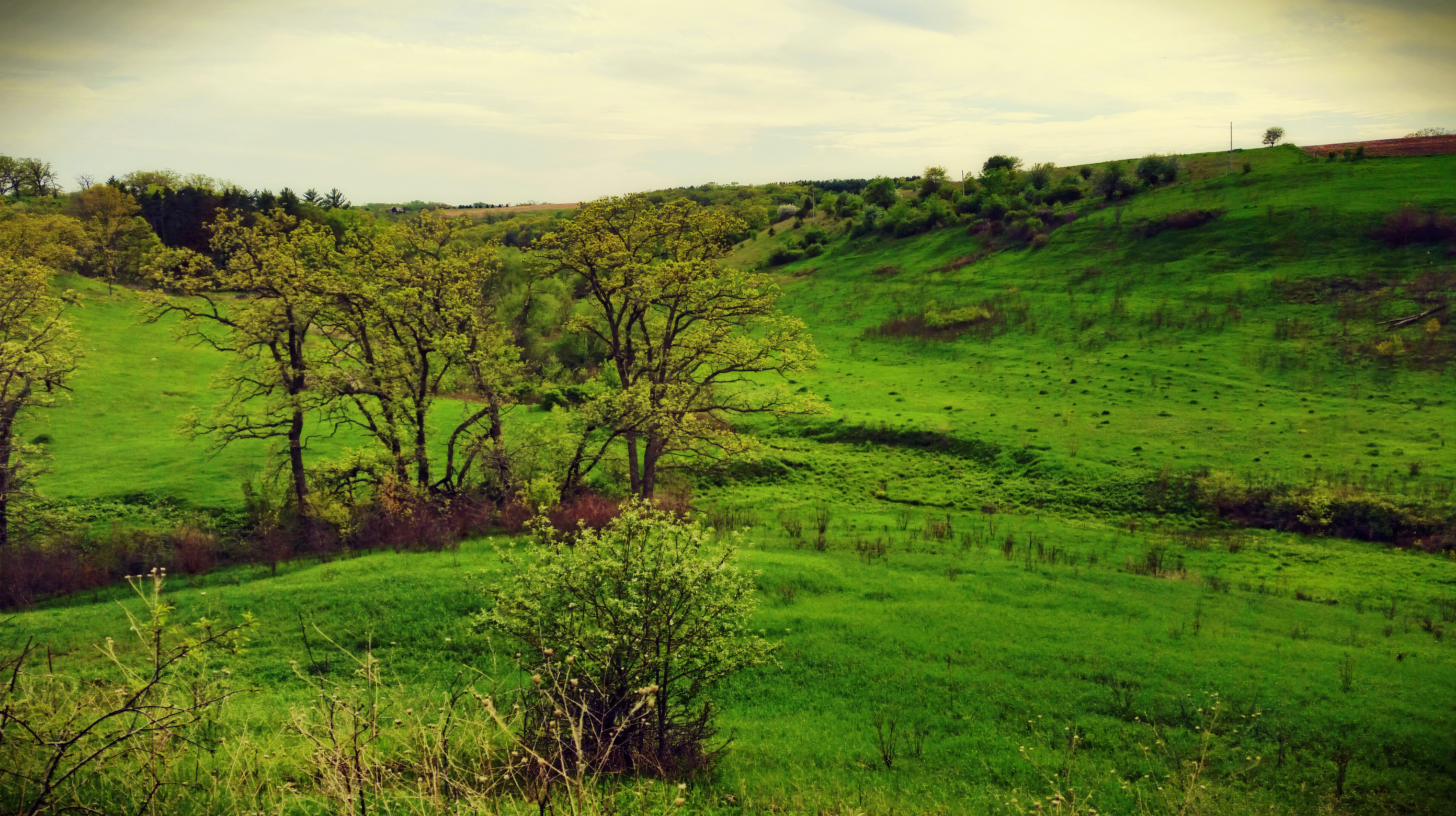
Barneveld Prairie State Natural Area

Corn Shocks - Autumn Icons

Happy Thanksgiving

Wilson Nursery

Day 17
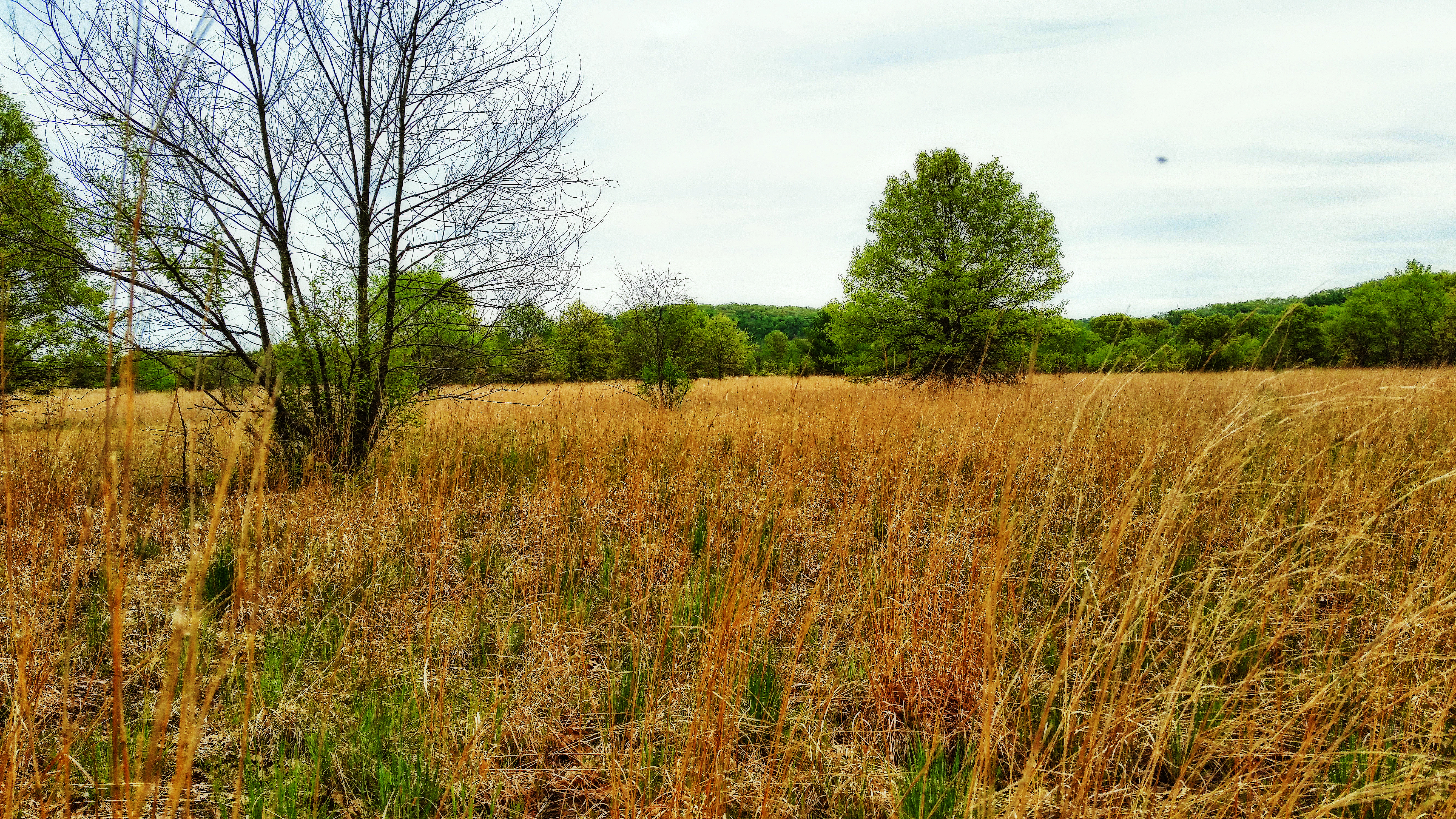
Blue River Sand Barrens State Natural Area
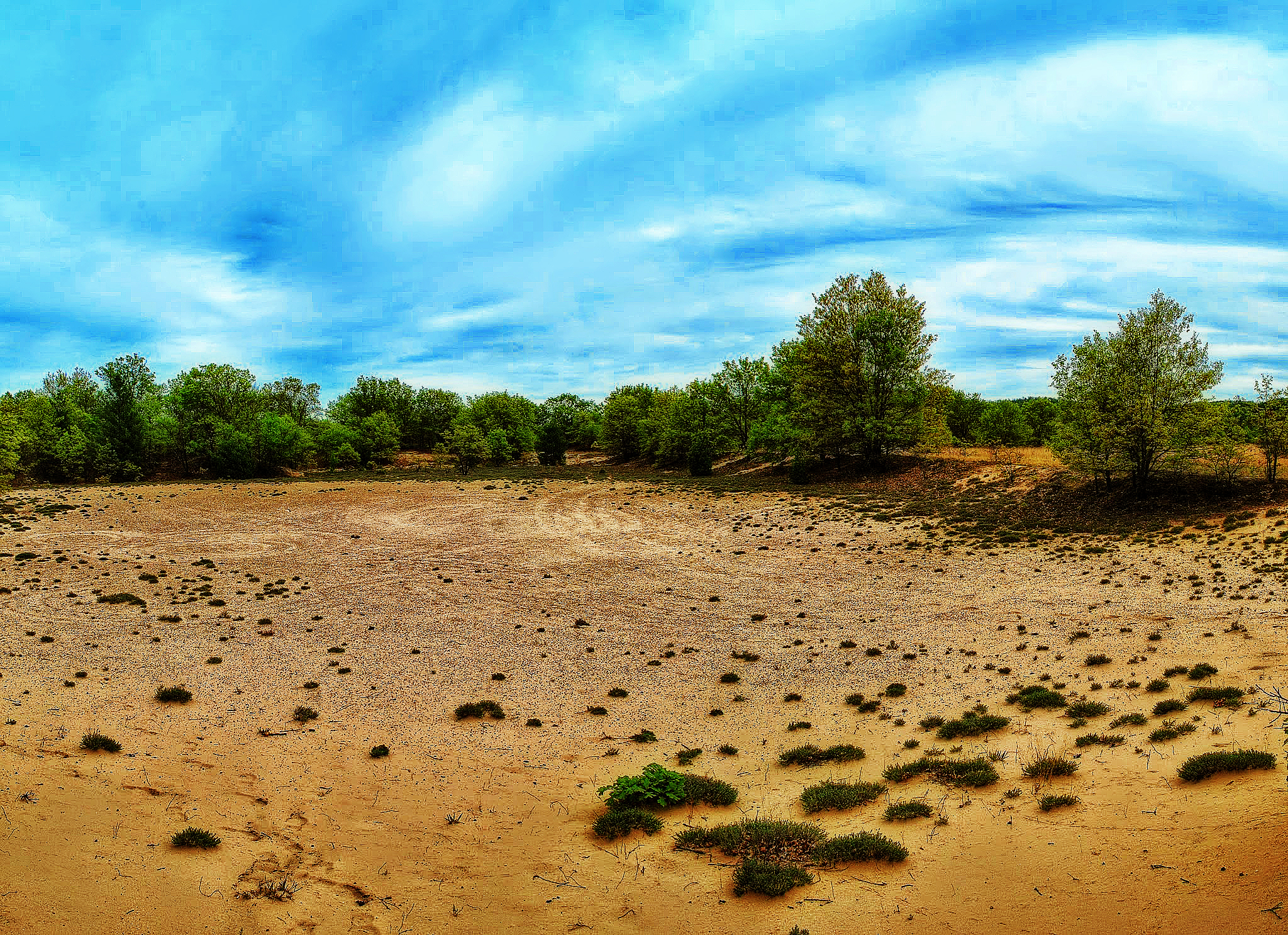
Blue River Sand Barrens State Natural Area
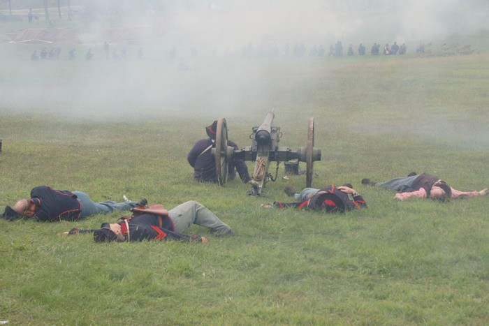
Through the smoke
0818_0021 copy
0818_0024 copy
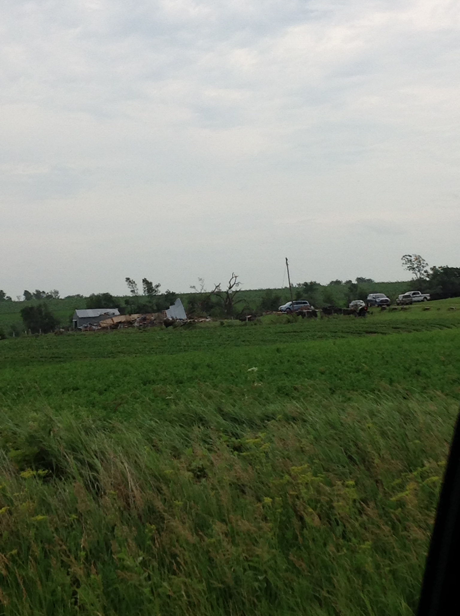
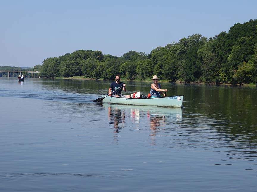
photo 25

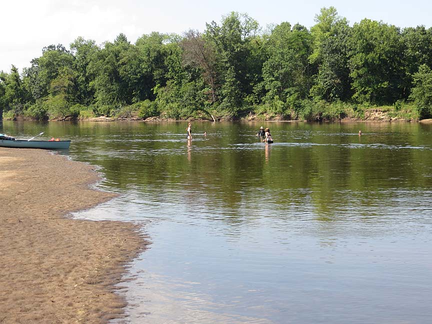
photo 26
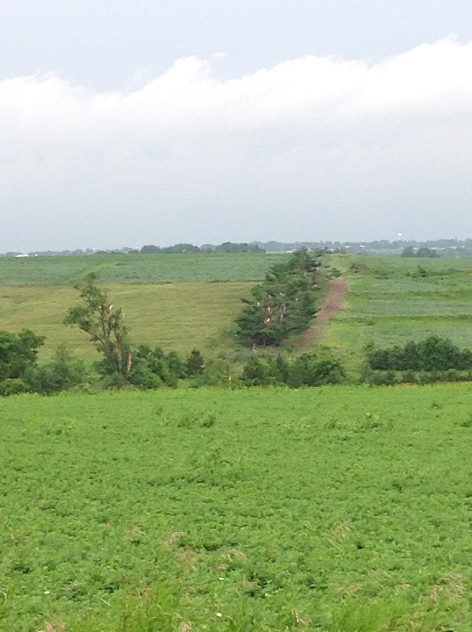
photo 27
Topographic Map of Co Rd T, Boscobel, WI, USA
Find elevation by address:

Places near Co Rd T, Boscobel, WI, USA:
Watterstown
18133 Flynn Rd
18133 Flynn Rd
18133 Flynn Rd
18421 Studenberg Rd
18421 Studenberg Rd
Boscobel
Wisconsin Ave, Boscobel, WI, USA
Muscoda
Grant County
Scott
41826 County Rd W
Scenic Lane
Montfort
14553 Valley View Rd
Elizabeth St, Muscoda, WI, USA
Orion
Highland
S Business St, Wauzeka, WI, USA
Crawford County
Recent Searches:
- Elevation of Groblershoop, South Africa
- Elevation of Power Generation Enterprises | Industrial Diesel Generators, Oak Ave, Canyon Country, CA, USA
- Elevation of Chesaw Rd, Oroville, WA, USA
- Elevation of N, Mt Pleasant, UT, USA
- Elevation of 6 Rue Jules Ferry, Beausoleil, France
- Elevation of Sattva Horizon, 4JC6+G9P, Vinayak Nagar, Kattigenahalli, Bengaluru, Karnataka, India
- Elevation of Great Brook Sports, Gold Star Hwy, Groton, CT, USA
- Elevation of 10 Mountain Laurels Dr, Nashua, NH, USA
- Elevation of 16 Gilboa Ln, Nashua, NH, USA
- Elevation of Laurel Rd, Townsend, TN, USA