Elevation of County Rd W, Boscobel, WI, USA
Location: United States > Wisconsin > Grant County > Boscobel >
Longitude: -90.707007
Latitude: 43.2496803
Elevation: 352m / 1155feet
Barometric Pressure: 97KPa
Elevation Map:
Satellite Map:
Related Photos:

far behind...
Purple Yellow Red and Blue

The Folks Who Live On The Hill

Apple Trees

The Blue River Bluffs

memorial, black-eyed susans

Ultra Modern in Boscobel, Wi.
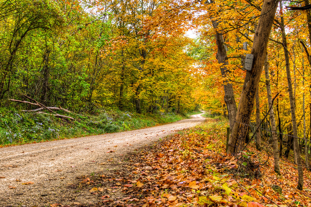
Autumn Gravel Road

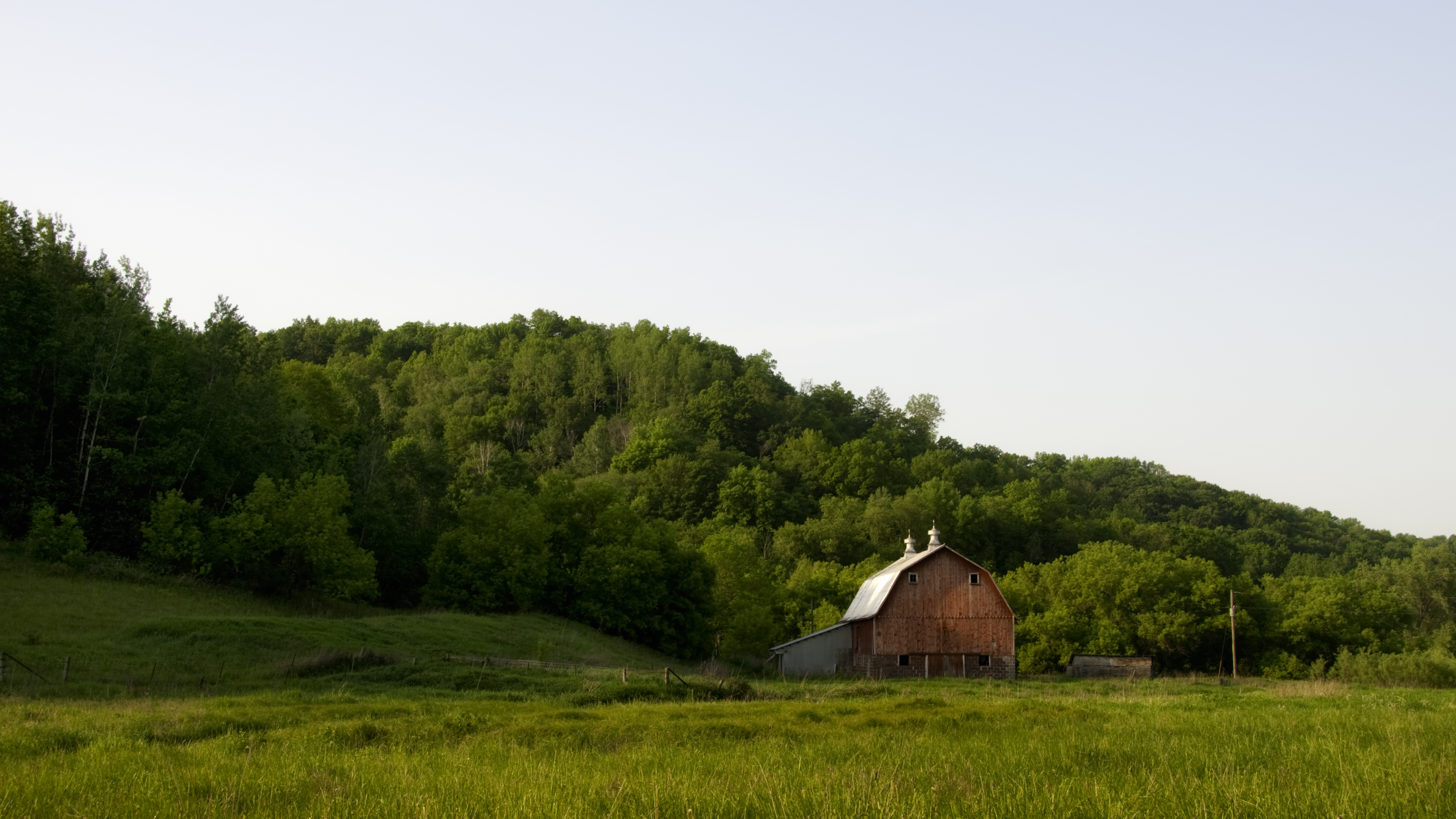
Red September Barn

A Colorful Country Drive
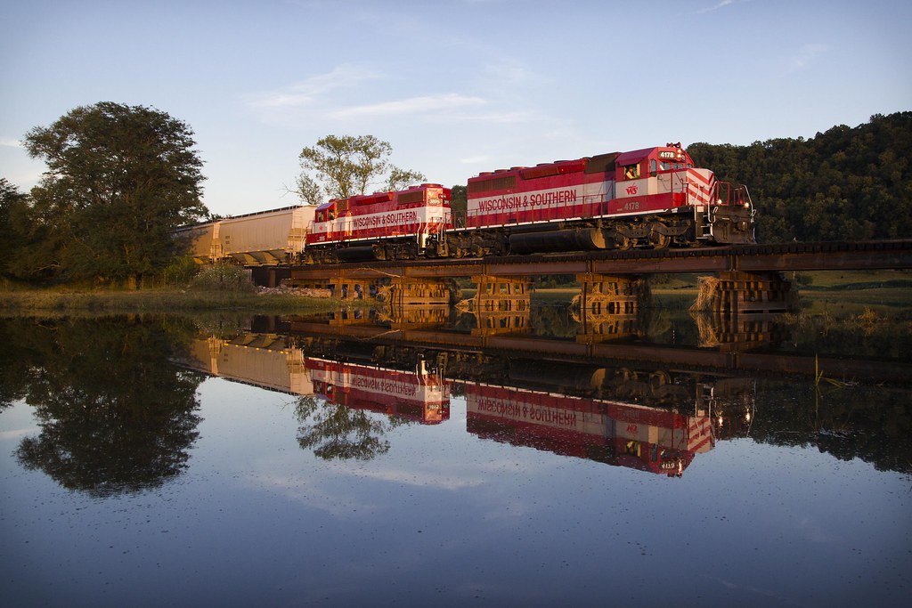
Driftless Dawn

Blue River Sand Barrens State Natural Area

Blue River Bluffs State Natural Area

Blue River Sand Barrens State Natural Area

Sept 6 - Gays Mills

Sept 3 - Black Earth

Kickapoo Valley Panorama
Crawford, Vernon
Barneveld Prairie State Natural Area

Sept 6 - Gays Mills

Sept 6 - Gays Mills
Sept 6 - Gays Mills

Sept 6 - Gays Mills
Blue River Bluffs State Natural Area
Blue River Bluffs State Natural Area

The Inn at Lonesome Hollow

Sept 6 - Gays Mills
Topographic Map of County Rd W, Boscobel, WI, USA
Find elevation by address:

Places near County Rd W, Boscobel, WI, USA:
Scott
Clayton
Wisconsin Ave, Boscobel, WI, USA
Boscobel
18133 Flynn Rd
18133 Flynn Rd
18133 Flynn Rd
Highpoint Rd, Soldiers Grove, WI, USA
Crawford County
18421 Studenberg Rd
18421 Studenberg Rd
42912 N Clayton Rd
Scenic Lane
Gays Mills
Watterstown
12259 Us-61
14538 River Rd
Soldiers Grove
50977 O'neil Rd
Co Rd T, Boscobel, WI, USA
Recent Searches:
- Elevation of Great Brook Sports, Gold Star Hwy, Groton, CT, USA
- Elevation of 10 Mountain Laurels Dr, Nashua, NH, USA
- Elevation of 16 Gilboa Ln, Nashua, NH, USA
- Elevation of Laurel Rd, Townsend, TN, USA
- Elevation of 3 Nestling Wood Dr, Long Valley, NJ, USA
- Elevation of Ilungu, Tanzania
- Elevation of Yellow Springs Road, Yellow Springs Rd, Chester Springs, PA, USA
- Elevation of Rēzekne Municipality, Latvia
- Elevation of Plikpūrmaļi, Vērēmi Parish, Rēzekne Municipality, LV-, Latvia
- Elevation of 2 Henschke Ct, Caboolture QLD, Australia