Elevation of Grant County, WI, USA
Location: United States > Wisconsin >
Longitude: -90.677304
Latitude: 42.9397015
Elevation: 296m / 971feet
Barometric Pressure: 98KPa
Elevation Map:
Satellite Map:
Related Photos:

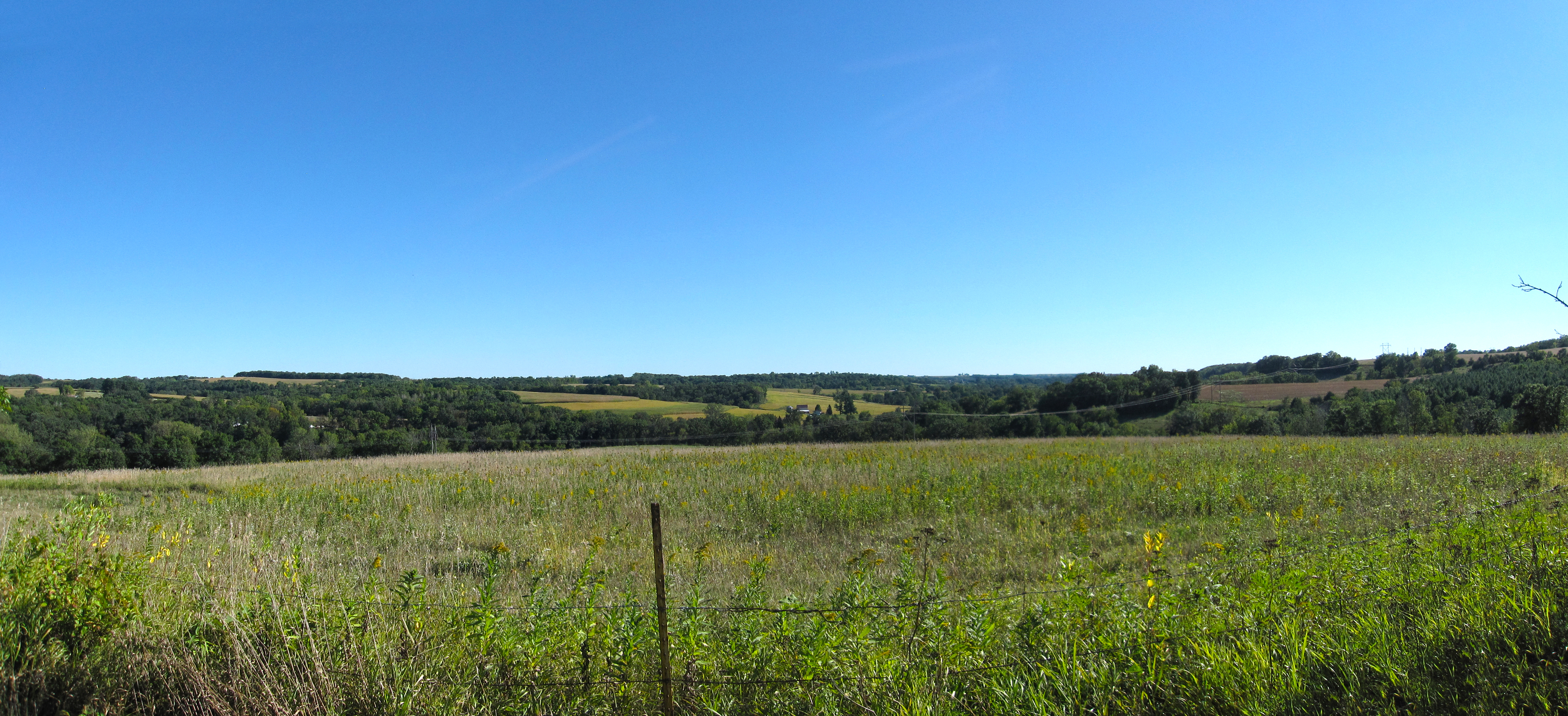
Igor of Fennimore

Grant County Courthouse, 1902
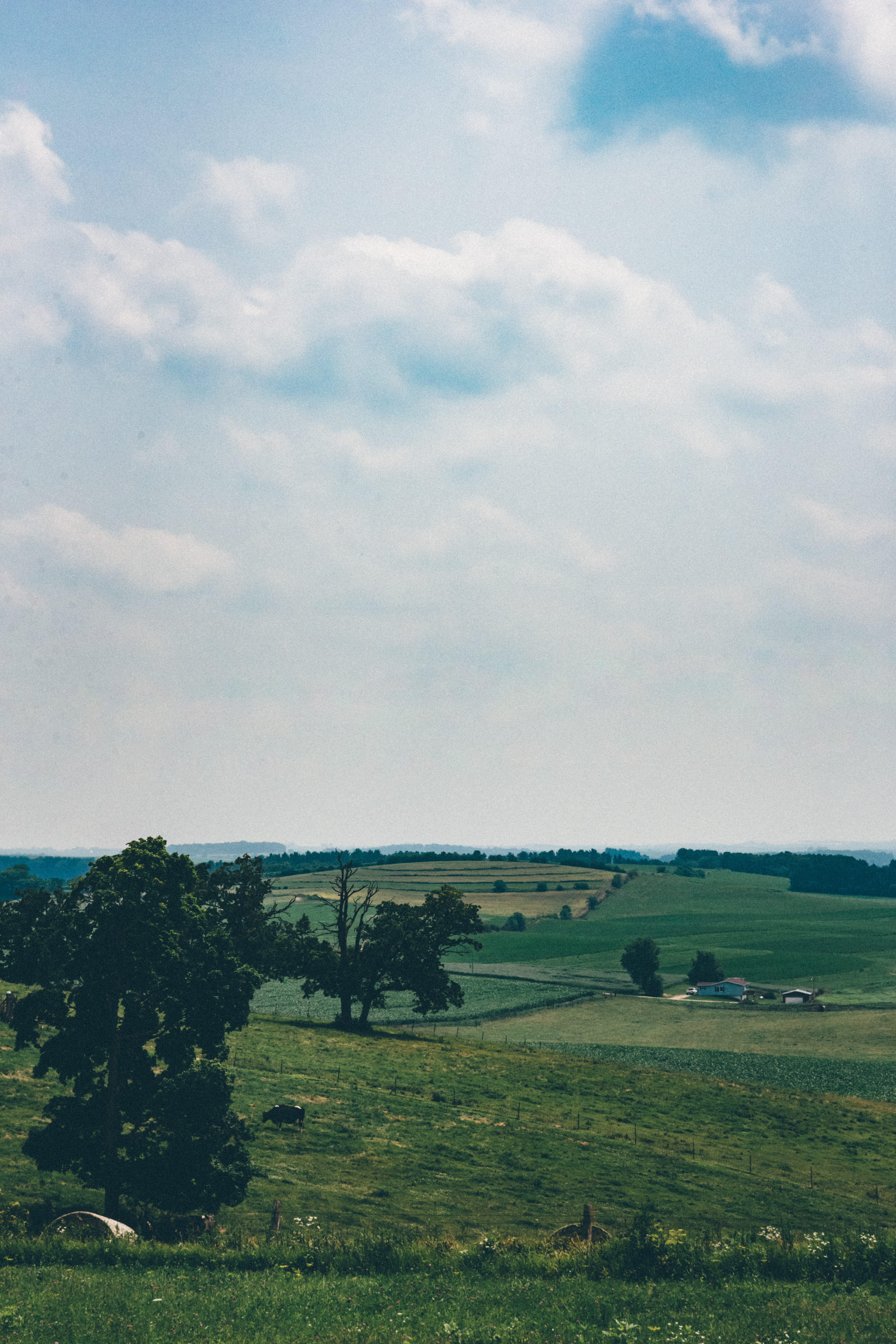
Elysian Fields

Corn Shocks - Autumn Icons

Happy Thanksgiving
Old & New
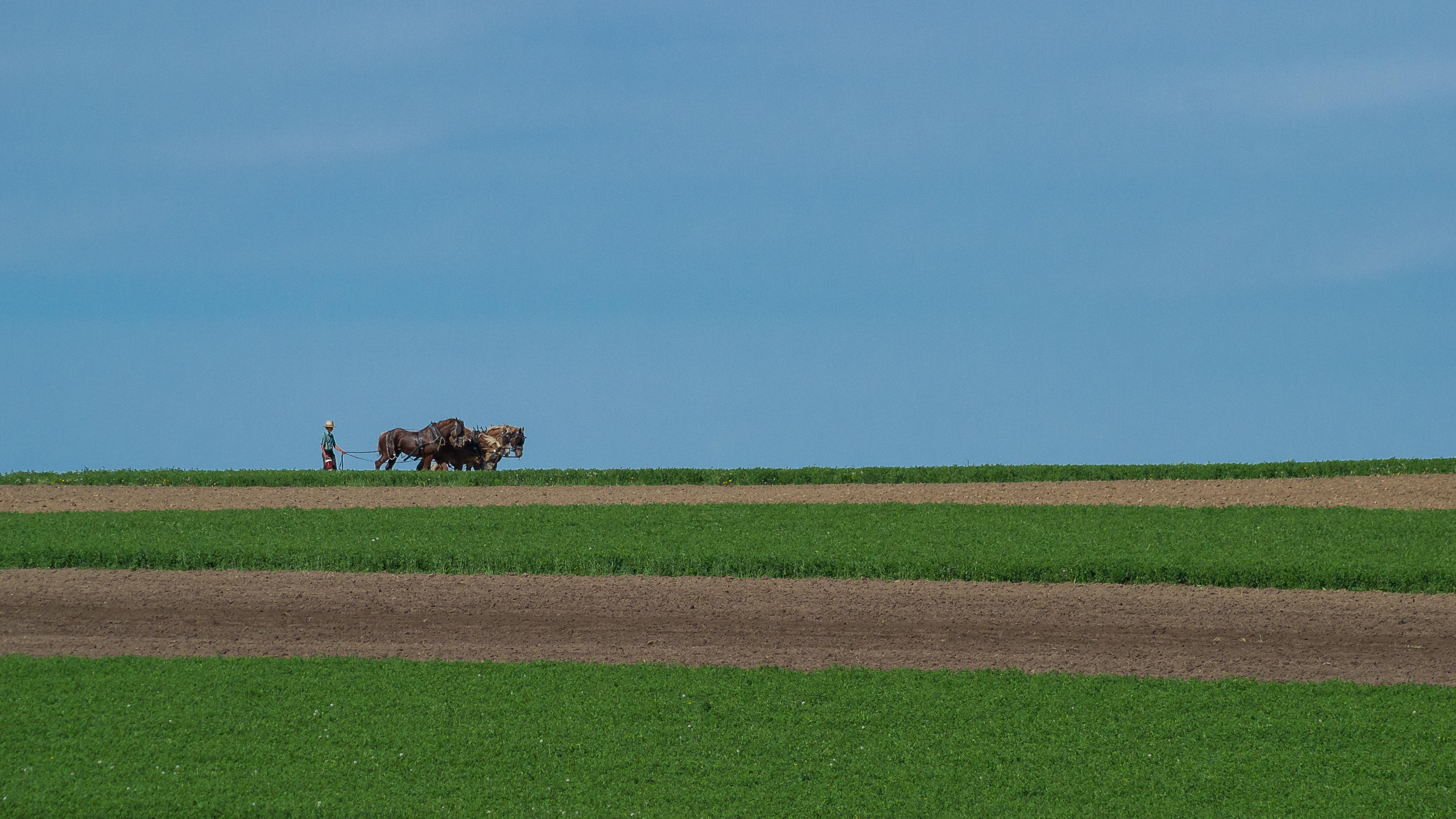
09-13-2013 Ride Rustic Road R70

DSC03749.omi
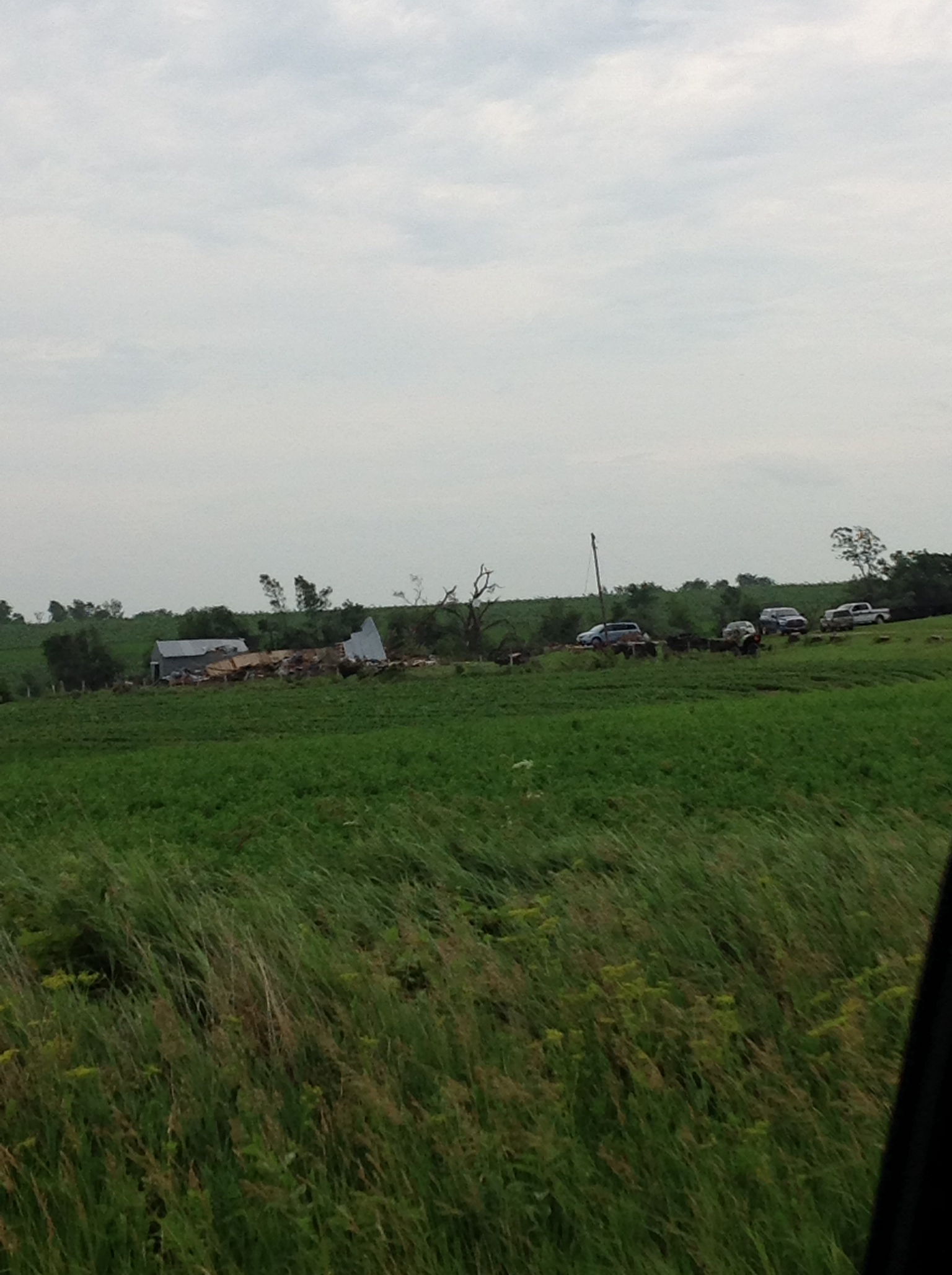
photo 25

photo 26
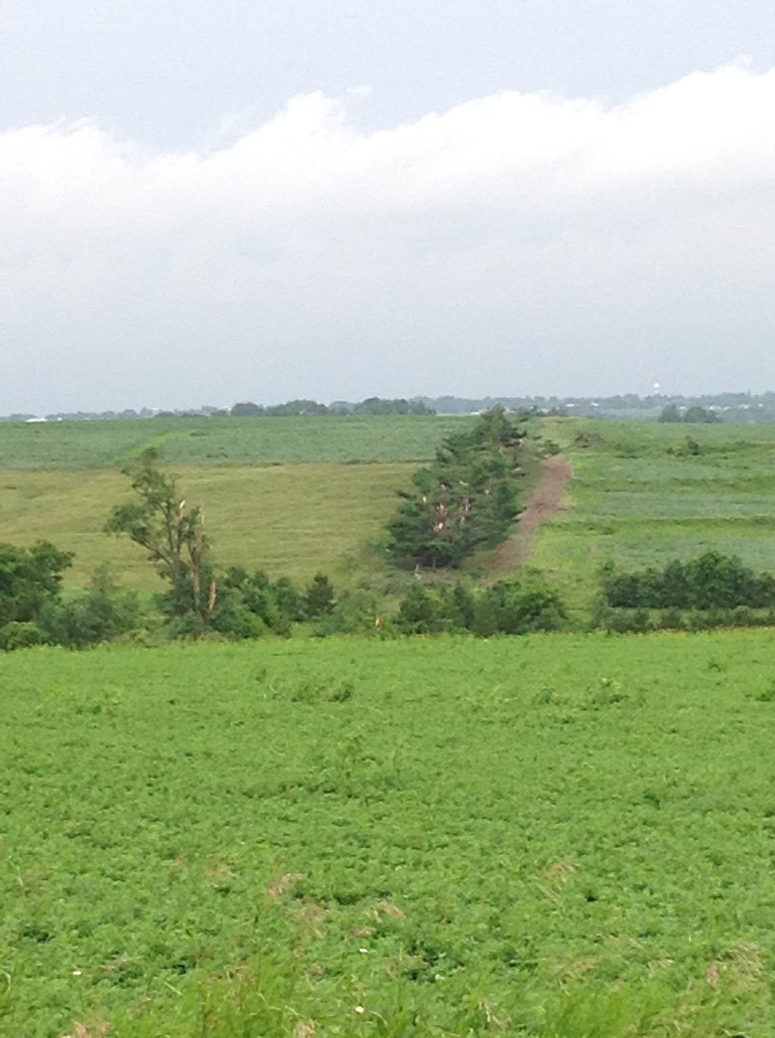
photo 27
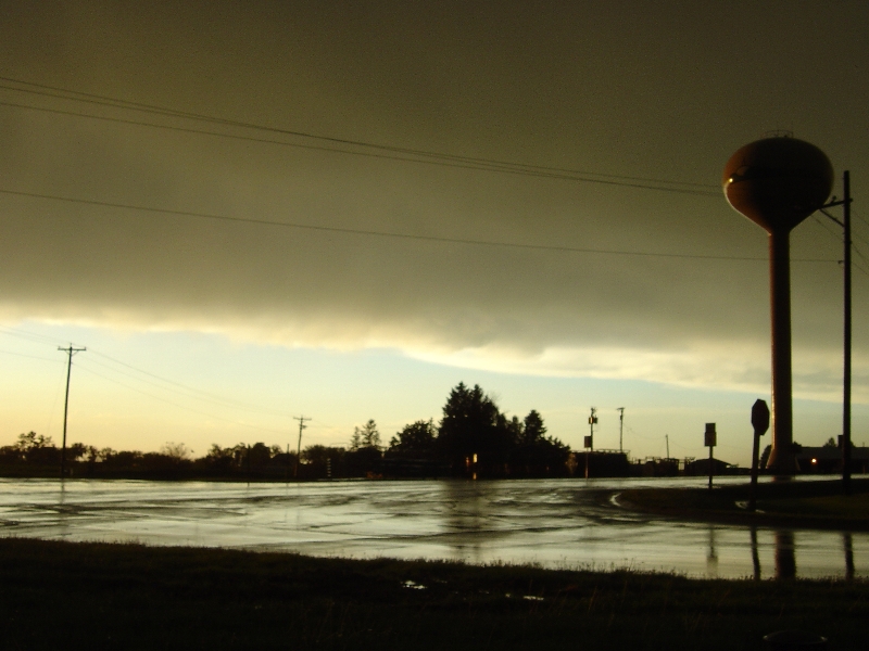
Post-storm sky, Lancaster, WI 5/25/2008
Topographic Map of Grant County, WI, USA
Find elevation by address:

Places in Grant County, WI, USA:
Watterstown
Boscobel
Waterloo
Jamestown
Hazel Green
Hazel Green
Patch Grove
Cuba City
Jackley Ln, Bagley, WI, USA
2nd St, Dickeyville, WI, USA
Potosi
Cassville
Muscoda
Platteville
Montfort
Places near Grant County, WI, USA:
Co Rd T, Boscobel, WI, USA
14553 Valley View Rd
Boscobel
Wisconsin Ave, Boscobel, WI, USA
18133 Flynn Rd
18133 Flynn Rd
18133 Flynn Rd
Watterstown
Scenic Lane
Montfort
Patch Grove
18421 Studenberg Rd
18421 Studenberg Rd
S Business St, Wauzeka, WI, USA
Potosi
Muscoda
Waterloo
Military Ridge Road
Platteville
760 N Water St
Recent Searches:
- Elevation of Corso Fratelli Cairoli, 35, Macerata MC, Italy
- Elevation of Tallevast Rd, Sarasota, FL, USA
- Elevation of 4th St E, Sonoma, CA, USA
- Elevation of Black Hollow Rd, Pennsdale, PA, USA
- Elevation of Oakland Ave, Williamsport, PA, USA
- Elevation of Pedrógão Grande, Portugal
- Elevation of Klee Dr, Martinsburg, WV, USA
- Elevation of Via Roma, Pieranica CR, Italy
- Elevation of Tavkvetili Mountain, Georgia
- Elevation of Hartfords Bluff Cir, Mt Pleasant, SC, USA