Elevation of N Water St, Platteville, WI, USA
Location: United States > Wisconsin > Grant County > Platteville >
Longitude: -90.469681
Latitude: 42.7401493
Elevation: 302m / 991feet
Barometric Pressure: 98KPa
Elevation Map:
Satellite Map:
Related Photos:

Pleasant View Primitive Methodist Church - rural Belmont, WI

Aerial View of Platteville Wisconsin

Fall on the Platte Mound "M"

Meet Seymour Clearly

View from atop the Platte Mound M

Platteville Main St at Night

Cuba City, Wisconsin

View from the top of the largest M

Pleasant View Lane

Fall Sunset

Sunset on the Platte Mound M

World's largest M

HDR Photos-49

Sunset at Platteville M
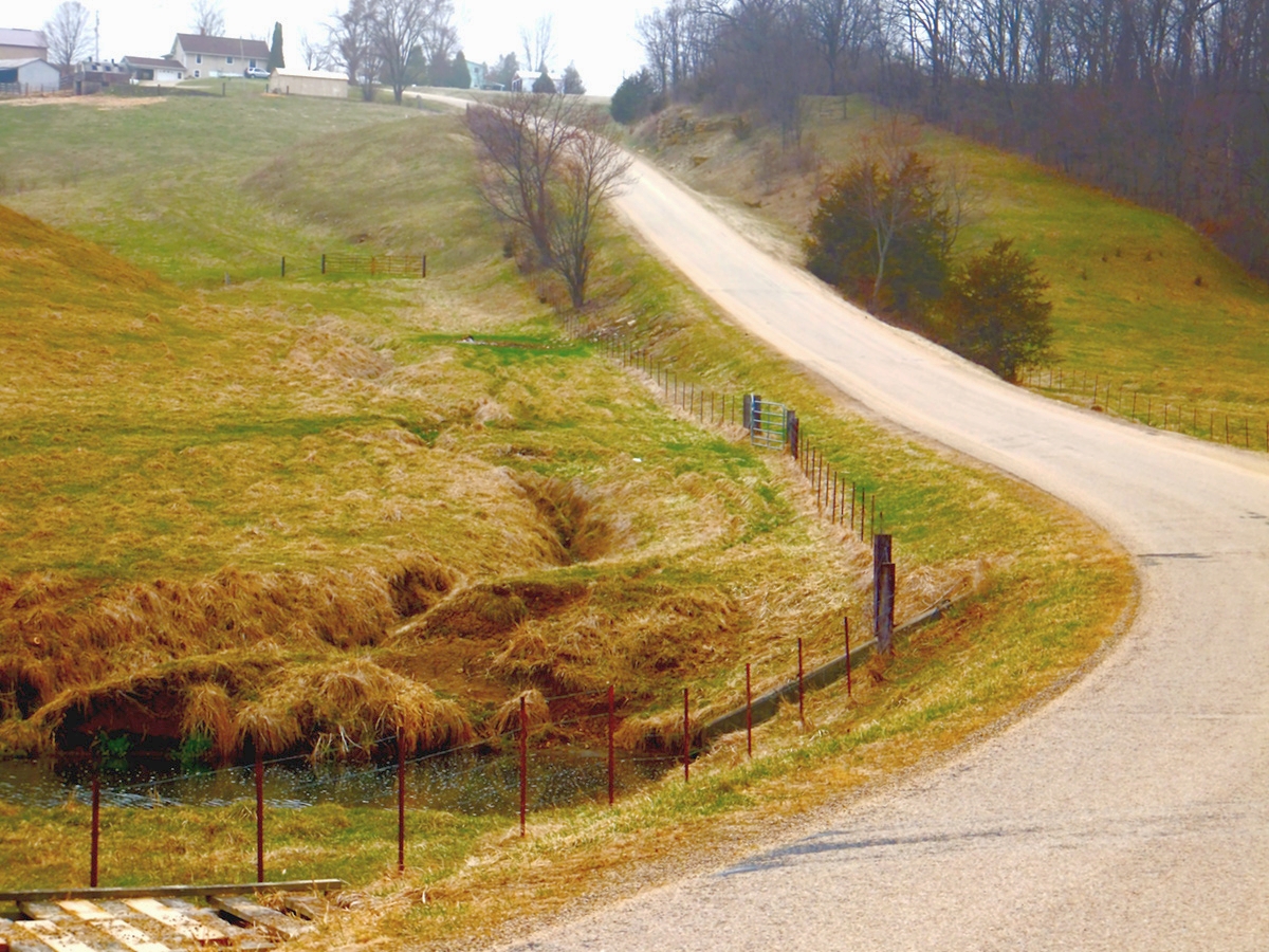
Grant Country Road Web

North of Belmont, Wisconsin

09-13-2013 Ride Rustic Road R75

Stargazer Lily
South Dakota 7

37K ft., Grant Co., WI_135406

South Dakota 5

Big Roadcut

Partial Eclipse

After The Flood

blowing tulips

Bluffs along 151
Topographic Map of N Water St, Platteville, WI, USA
Find elevation by address:

Places near N Water St, Platteville, WI, USA:
Platteville
Rewey
Main St, Rewey, WI, USA
Belmont
S Mound Ave, Belmont, WI, USA
John Mcquade - State Farm Insurance Agent
Cuba City
E Webster St, Cuba City, WI, USA
Co Rd H, Cuba City, WI, USA
Benton
2nd St, Dickeyville, WI, USA
Hazel Green
Jamestown
Elm St, Cuba City, WI, USA
Kieler
Hazel Green
New Diggings
Co Rd Z, Hazel Green, WI, USA
Co Rd Z, Hazel Green, WI, USA
5881 Palfrey Rd
Recent Searches:
- Elevation of Groblershoop, South Africa
- Elevation of Power Generation Enterprises | Industrial Diesel Generators, Oak Ave, Canyon Country, CA, USA
- Elevation of Chesaw Rd, Oroville, WA, USA
- Elevation of N, Mt Pleasant, UT, USA
- Elevation of 6 Rue Jules Ferry, Beausoleil, France
- Elevation of Sattva Horizon, 4JC6+G9P, Vinayak Nagar, Kattigenahalli, Bengaluru, Karnataka, India
- Elevation of Great Brook Sports, Gold Star Hwy, Groton, CT, USA
- Elevation of 10 Mountain Laurels Dr, Nashua, NH, USA
- Elevation of 16 Gilboa Ln, Nashua, NH, USA
- Elevation of Laurel Rd, Townsend, TN, USA