Elevation of S Mound Ave, Belmont, WI, USA
Location: United States > Wisconsin > Lafayette County >
Longitude: -90.334191
Latitude: 42.7382247
Elevation: 316m / 1037feet
Barometric Pressure: 98KPa
Elevation Map:
Satellite Map:
Related Photos:

Platteville Main St at Night

View from the top of the largest M
Fall on the Platte Mound "M"
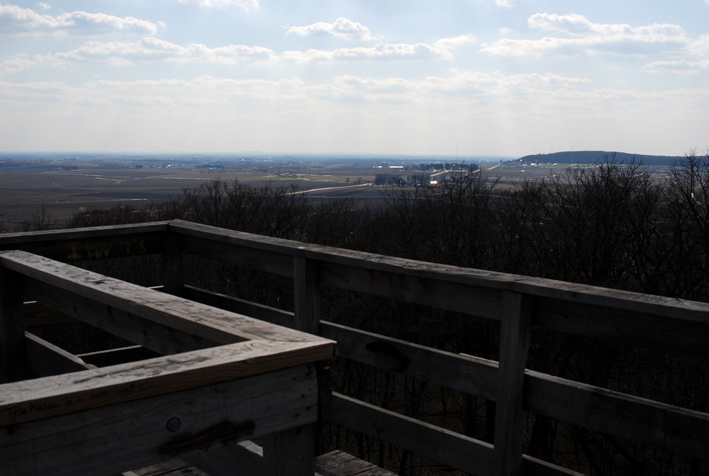
Observation Tower View
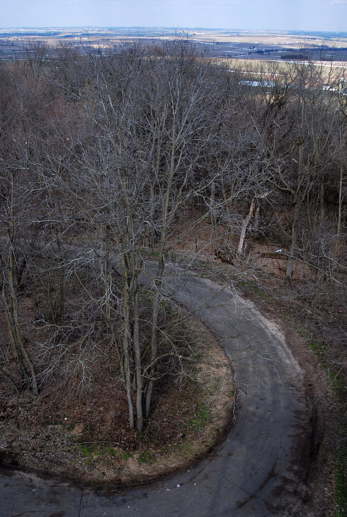
Observation Tower View

Observation Tower View

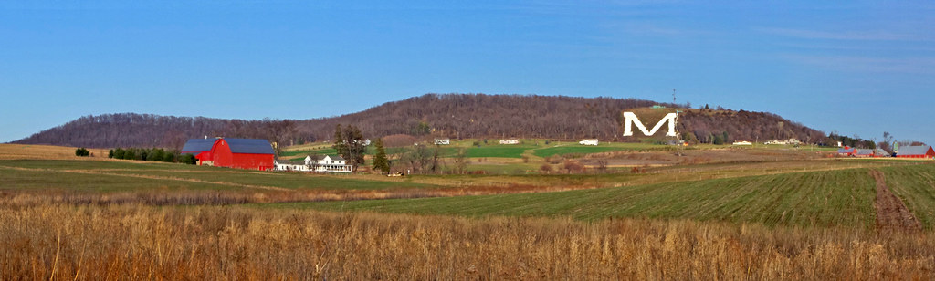
the red barn
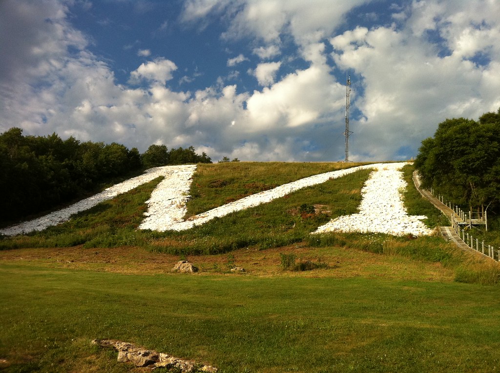
World's largest M

Sunset at Platteville M

HDR Photos-49
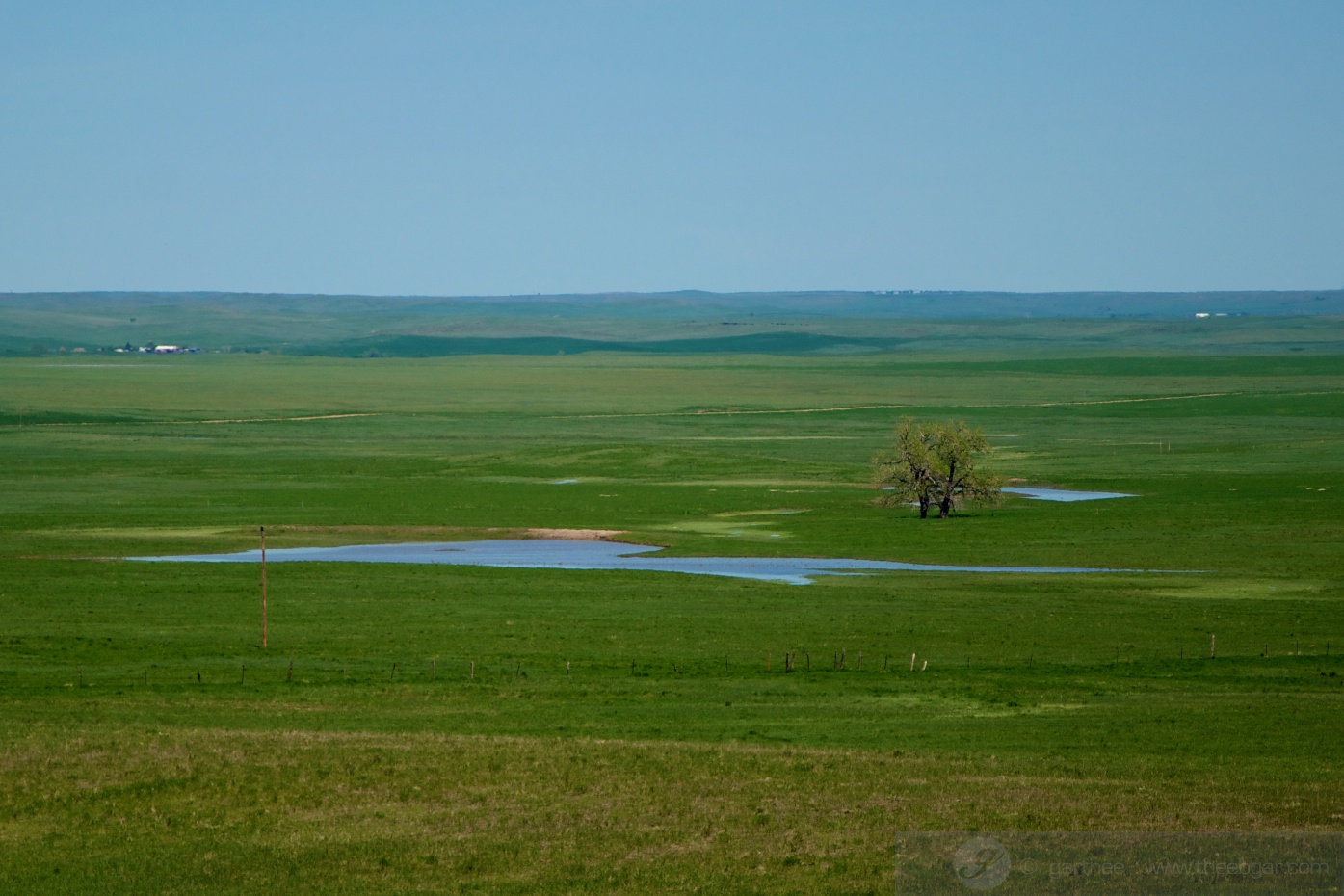
South Dakota 7
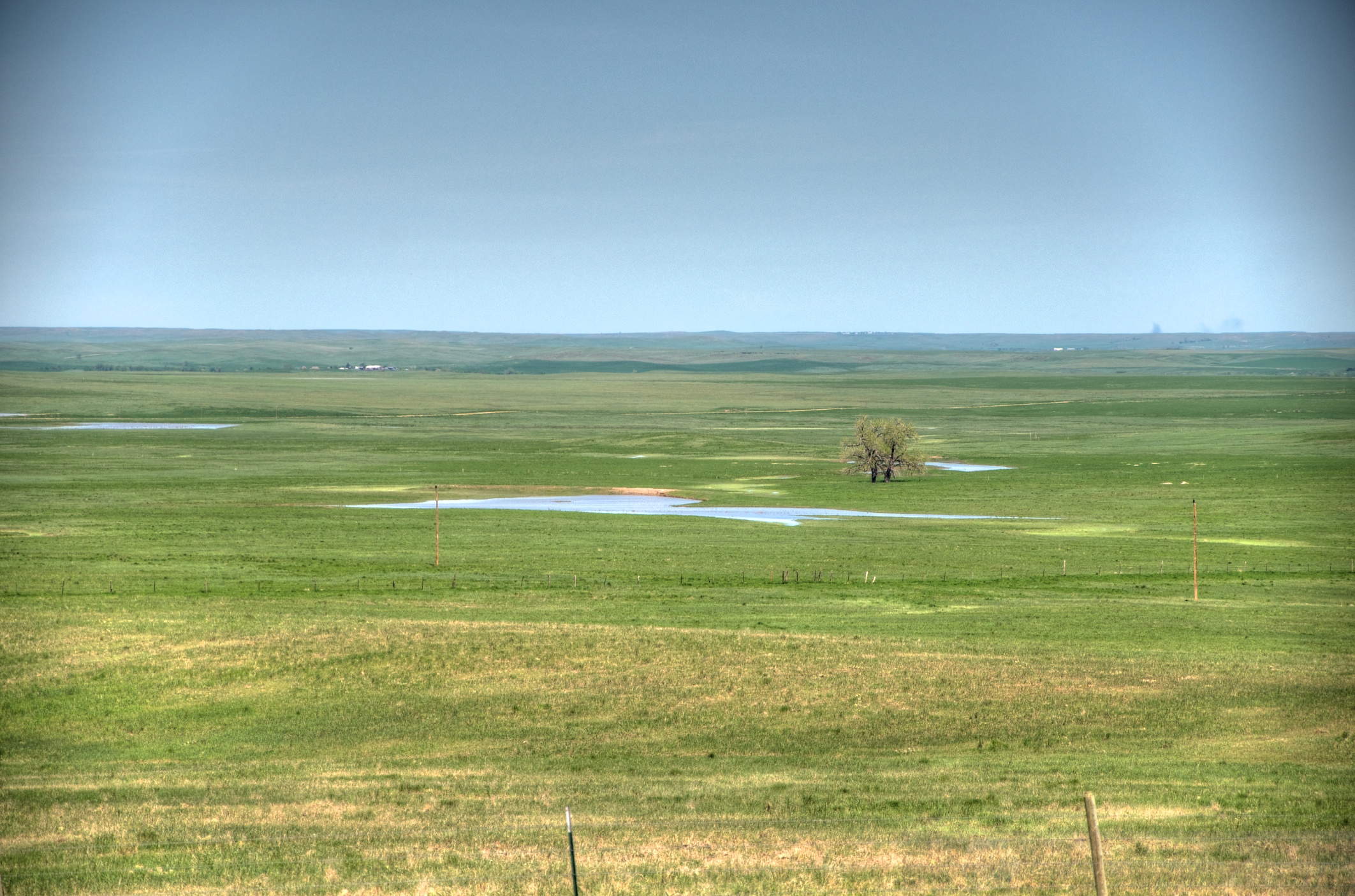
South Dakota 2

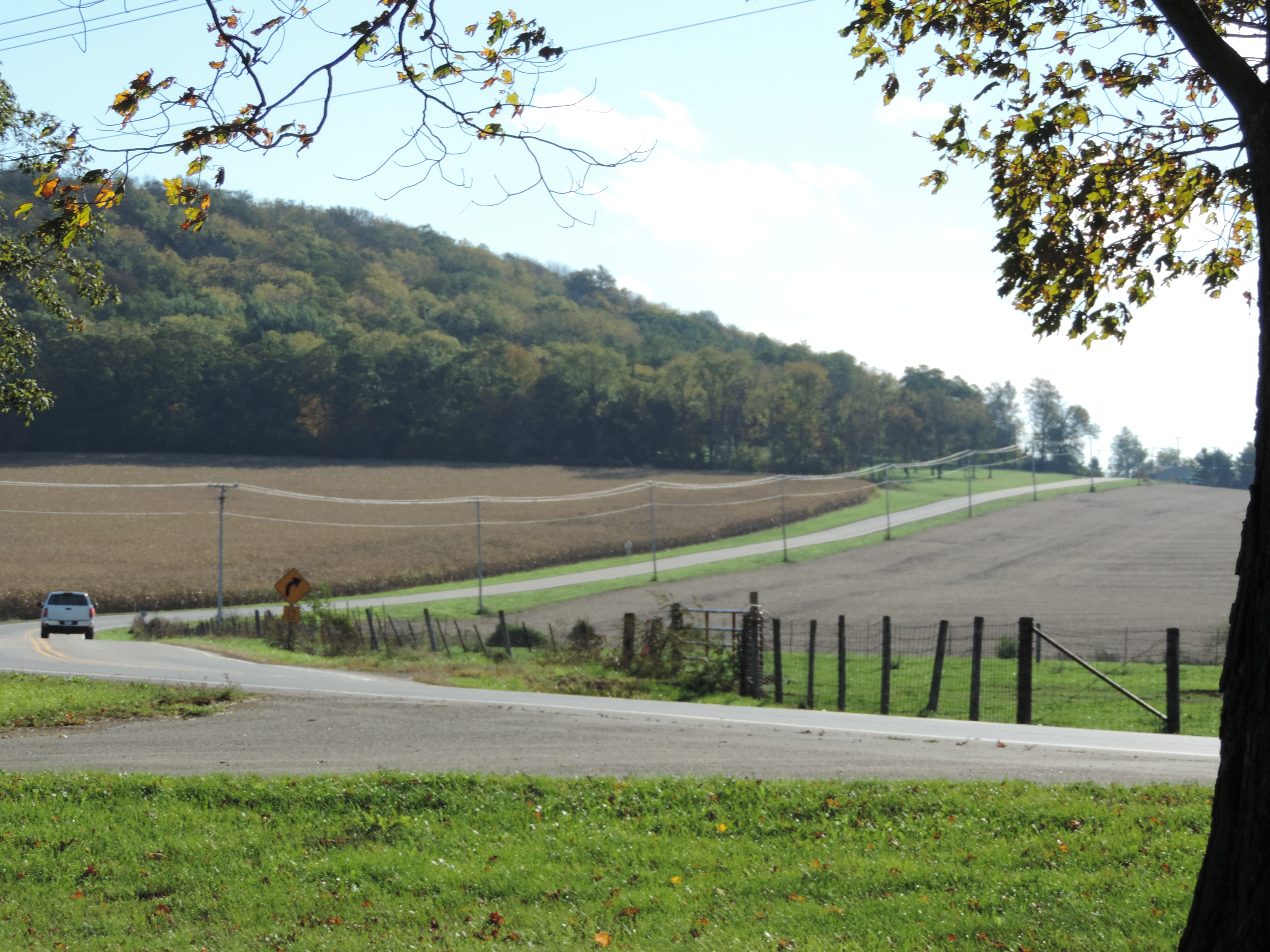
09-13-2013 Ride Rustic Road R75
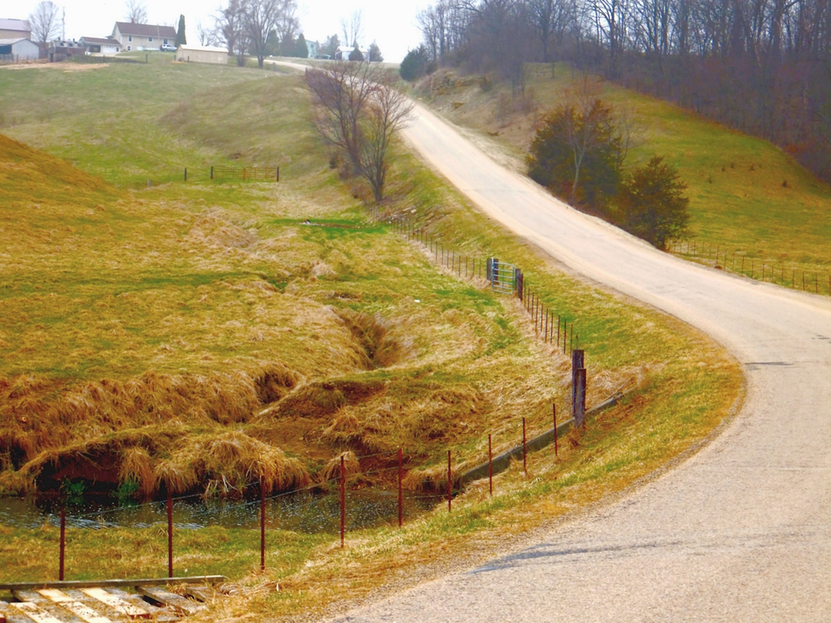
Grant Country Road Web

blowing tulips
North of Belmont, Wisconsin

09-13-2013 Ride Rustic Road R75
South Dakota 5

Stargazer Lily
Topographic Map of S Mound Ave, Belmont, WI, USA
Find elevation by address:

Places near S Mound Ave, Belmont, WI, USA:
Belmont
Co Rd H, Cuba City, WI, USA
Main St, Rewey, WI, USA
Rewey
760 N Water St
Benton
Platteville
New Diggings
5881 Palfrey Rd
Cuba City
E Webster St, Cuba City, WI, USA
John Mcquade - State Farm Insurance Agent
Shullsburg
Mineral Point
County Rd W, Shullsburg, WI, USA
Linden
Shullsburg
4050 Copper St
Hazel Green
Hazel Green
Recent Searches:
- Elevation of Corso Fratelli Cairoli, 35, Macerata MC, Italy
- Elevation of Tallevast Rd, Sarasota, FL, USA
- Elevation of 4th St E, Sonoma, CA, USA
- Elevation of Black Hollow Rd, Pennsdale, PA, USA
- Elevation of Oakland Ave, Williamsport, PA, USA
- Elevation of Pedrógão Grande, Portugal
- Elevation of Klee Dr, Martinsburg, WV, USA
- Elevation of Via Roma, Pieranica CR, Italy
- Elevation of Tavkvetili Mountain, Georgia
- Elevation of Hartfords Bluff Cir, Mt Pleasant, SC, USA