Elevation of Flynn Rd, Boscobel, WI, USA
Location: United States > Wisconsin > Grant County > Watterstown >
Longitude: -90.621351
Latitude: 43.1670403
Elevation: 243m / 797feet
Barometric Pressure: 98KPa
Elevation Map:
Satellite Map:
Related Photos:

Ultra Modern in Boscobel, Wi.

memorial, black-eyed susans
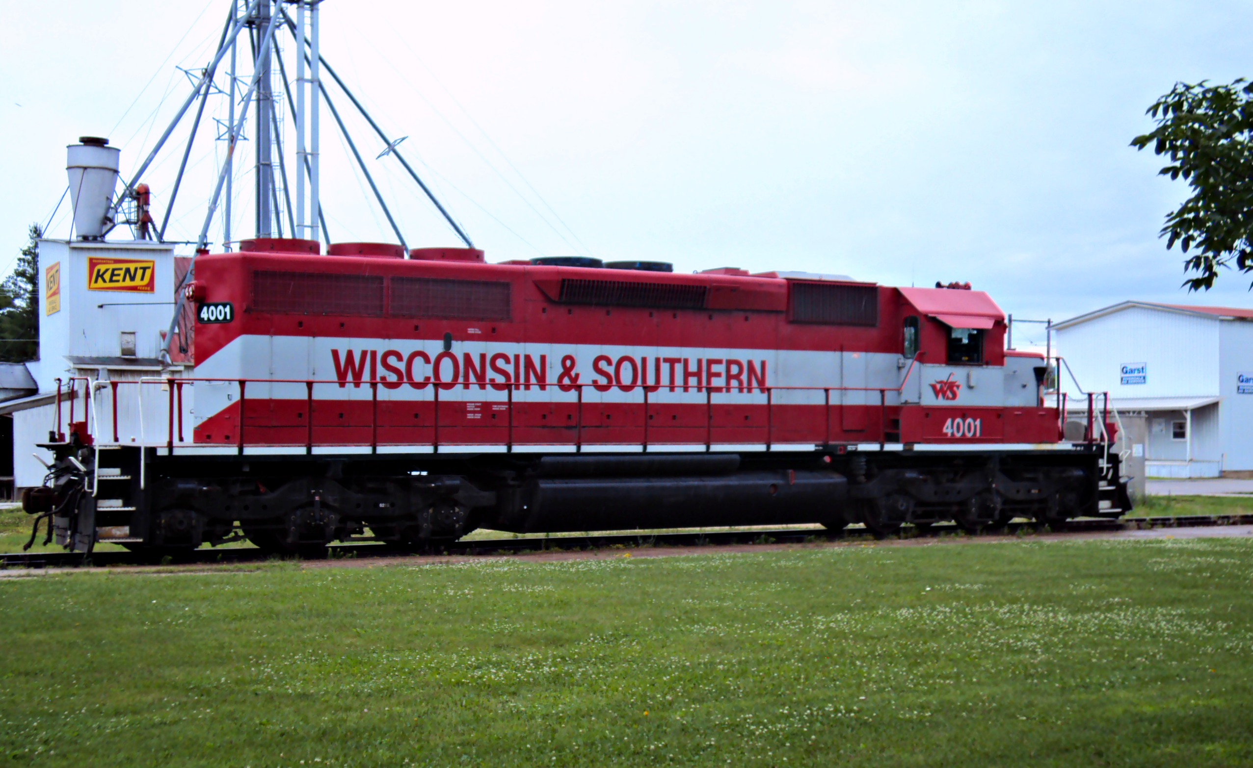
WSOR 4001-2

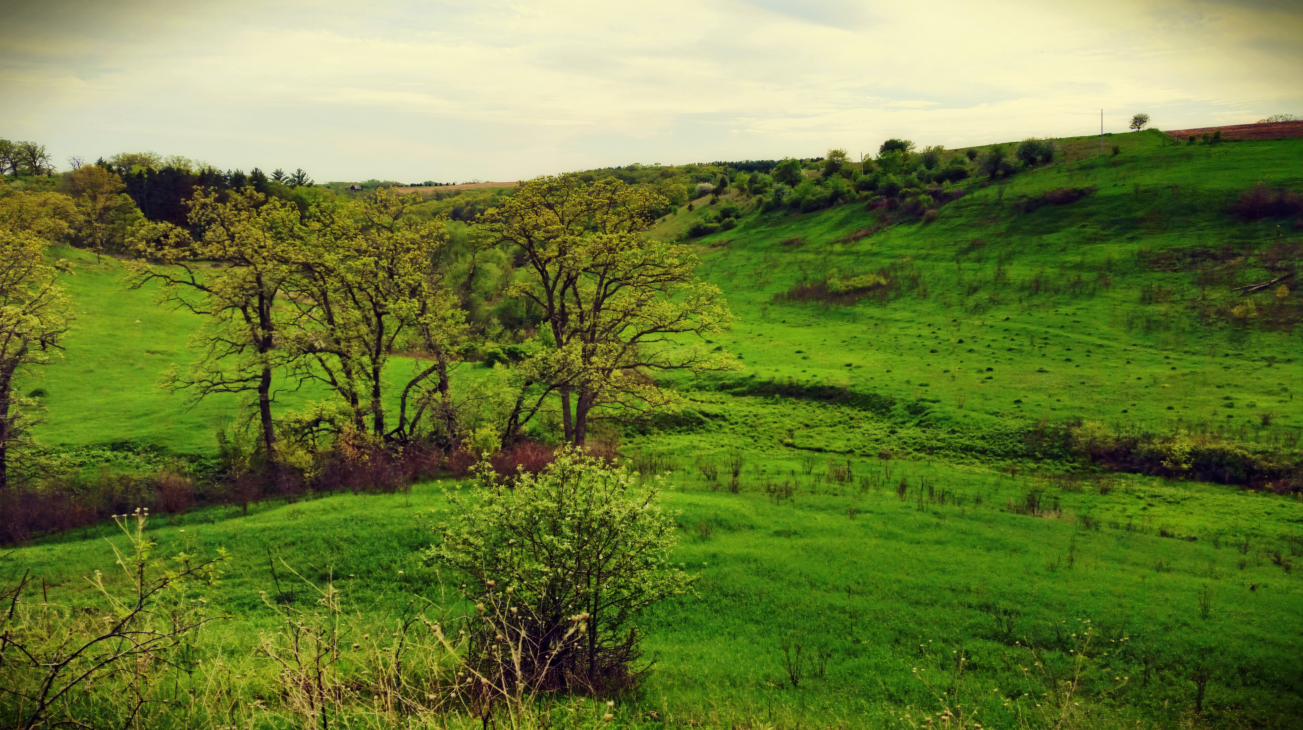
The Blue River Bluffs
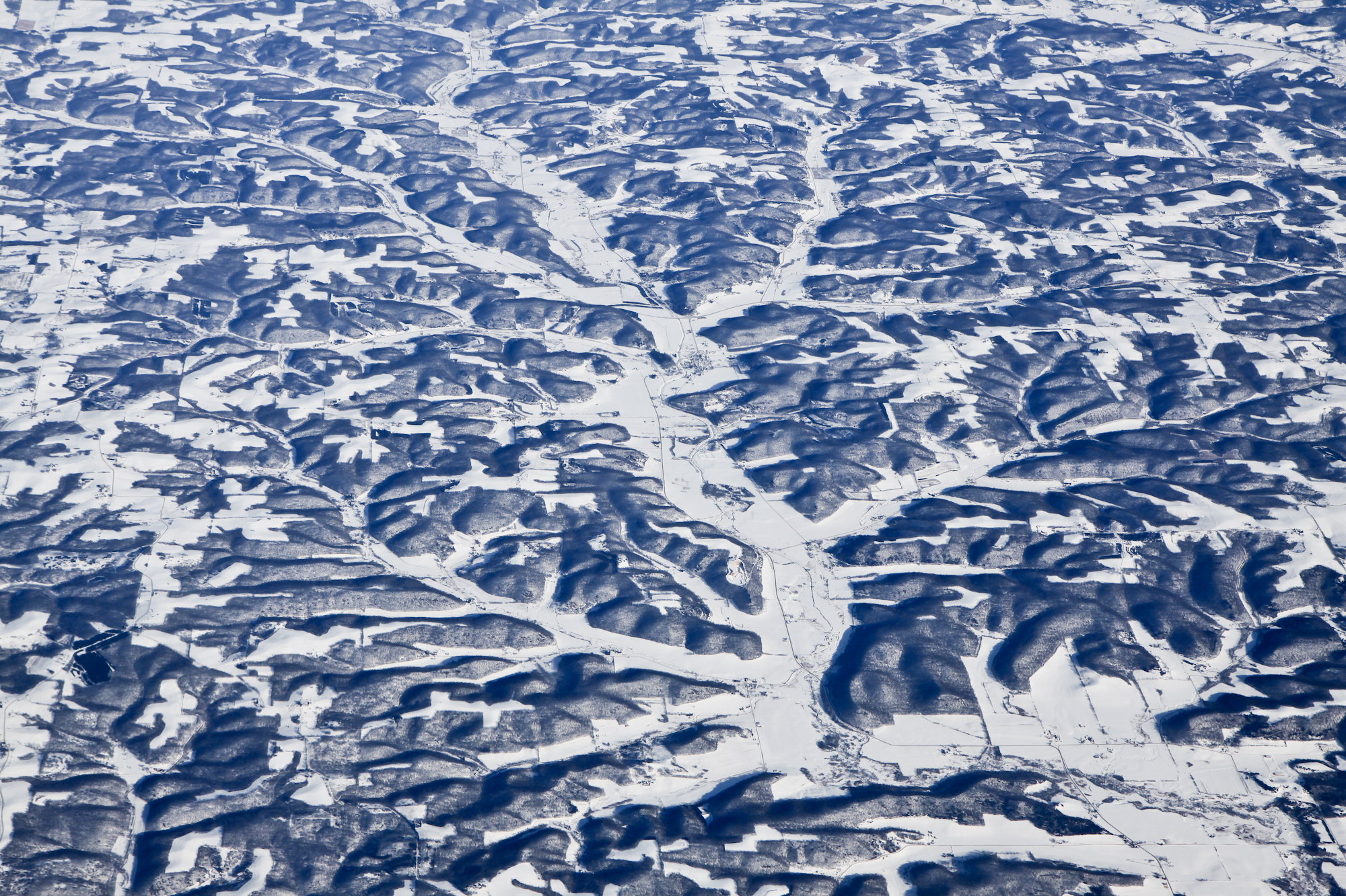
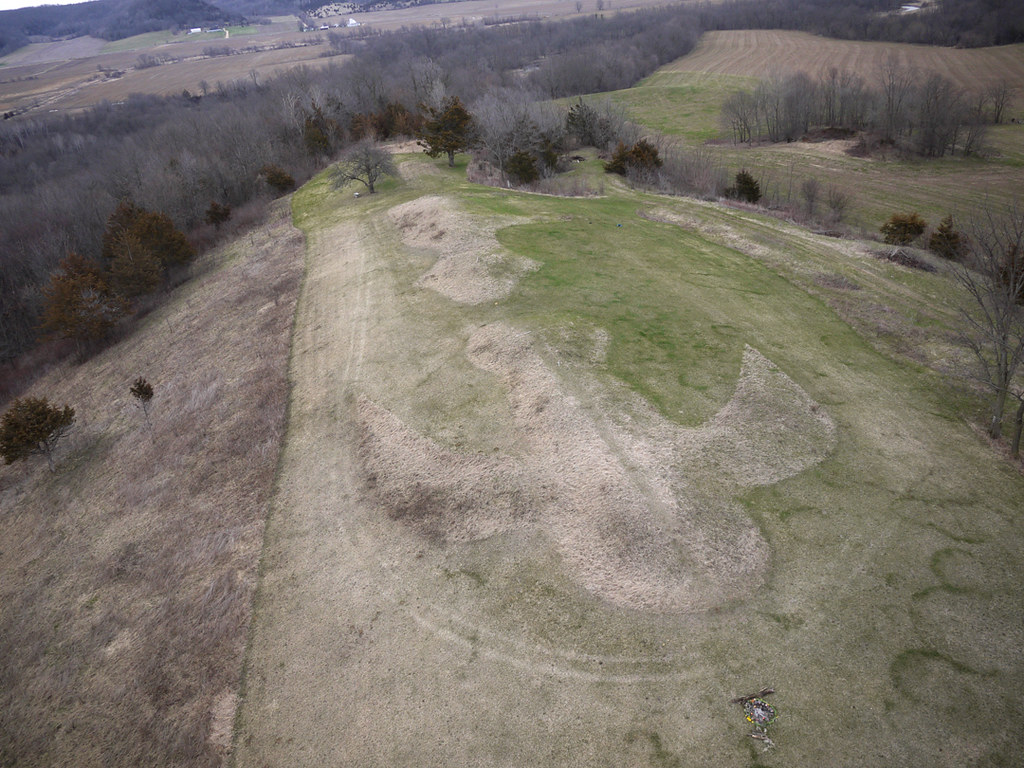
Wisconsin from above

Wilson Nursery
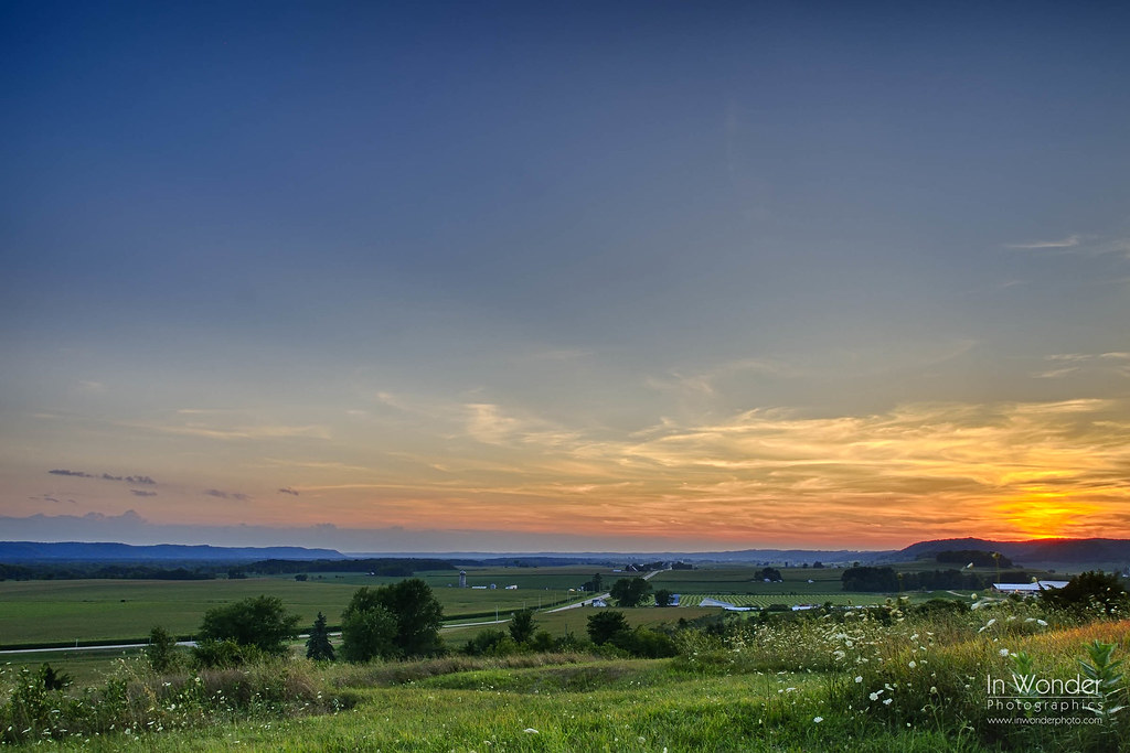
Good Night Wisconsin
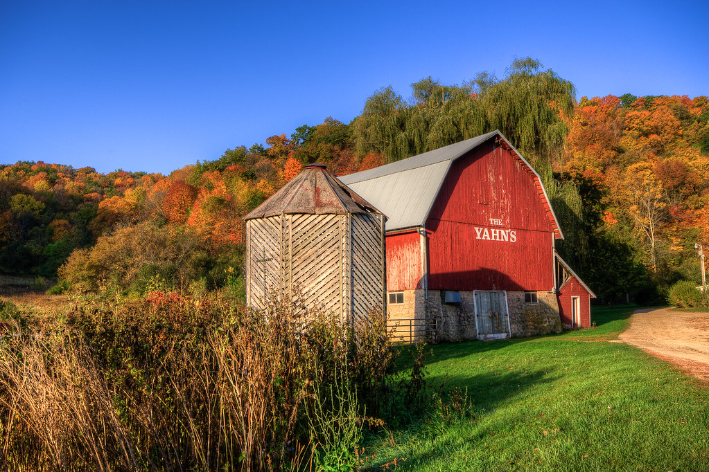
Red September Barn
Franks Hill
Barneveld Prairie State Natural Area
Wisconsin River Backwaters

Bridge Sunset

Moon Light

Morning Fog

Day 17
Blue River Sand Barrens State Natural Area
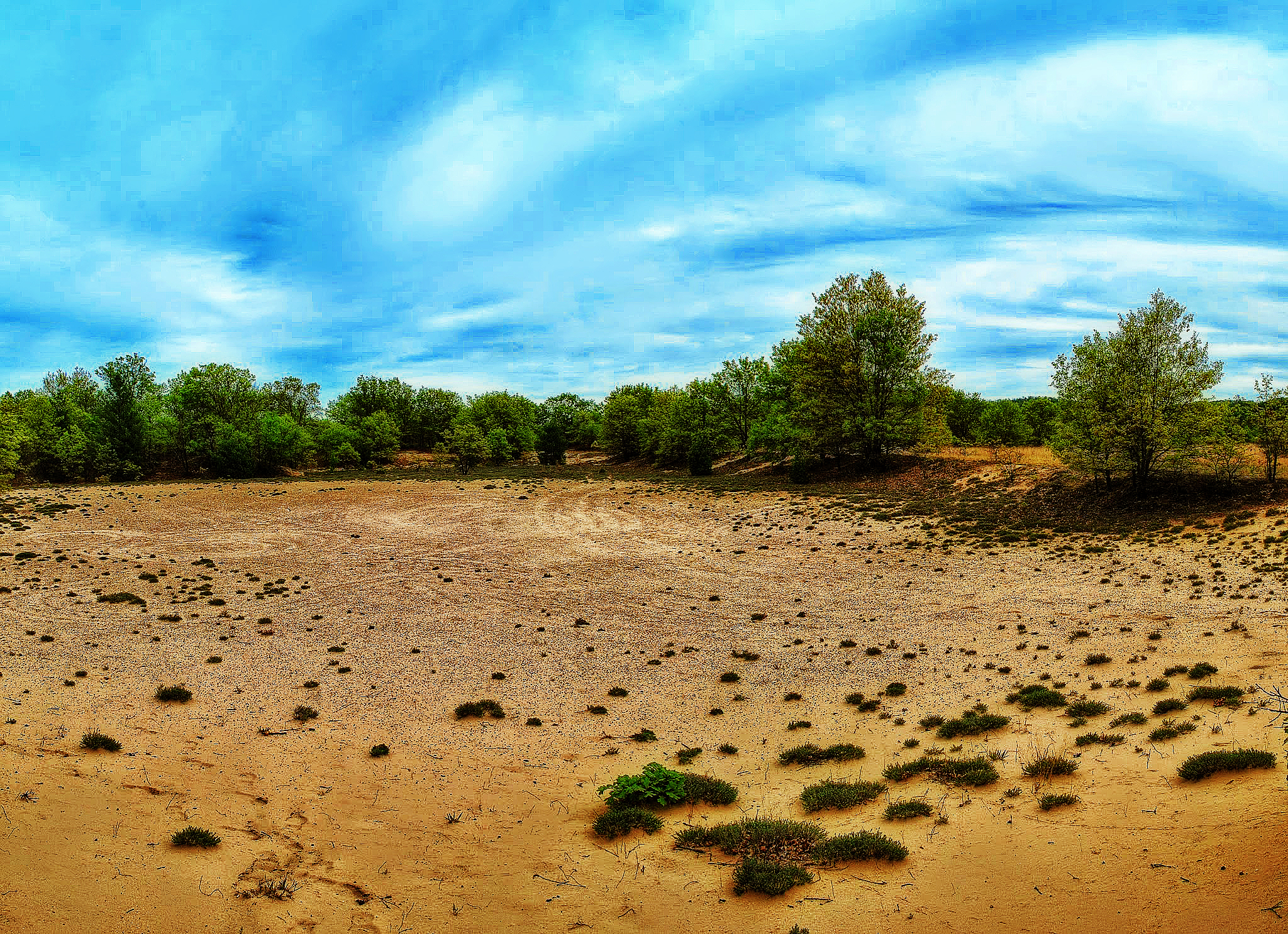
Blue River Sand Barrens State Natural Area
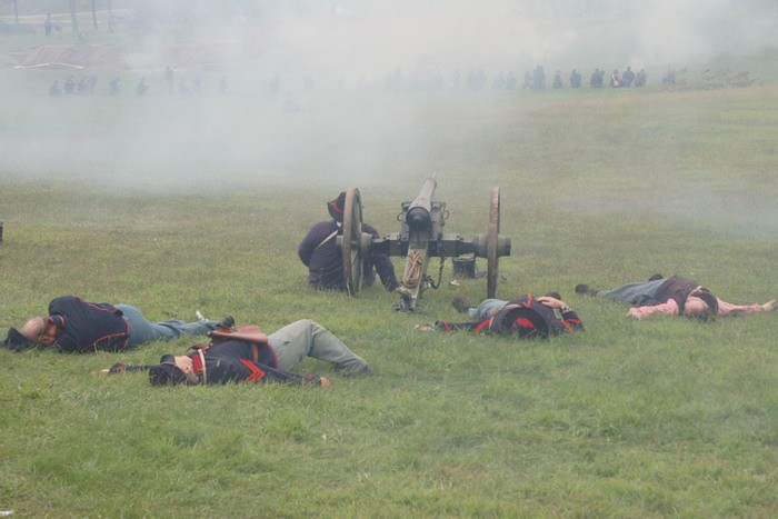
Through the smoke

0817_0085 copy
0818_0021 copy
0818_0024 copy
Topographic Map of Flynn Rd, Boscobel, WI, USA
Find elevation by address:

Places near Flynn Rd, Boscobel, WI, USA:
18133 Flynn Rd
18133 Flynn Rd
18421 Studenberg Rd
18421 Studenberg Rd
Watterstown
Co Rd T, Boscobel, WI, USA
Boscobel
Wisconsin Ave, Boscobel, WI, USA
Muscoda
41826 County Rd W
Scott
Scenic Lane
Orion
Elizabeth St, Muscoda, WI, USA
Clayton
Crawford County
Lingel Ln, Richland Center, WI, USA
Grant County
Highpoint Rd, Soldiers Grove, WI, USA
42912 N Clayton Rd
Recent Searches:
- Elevation of Groblershoop, South Africa
- Elevation of Power Generation Enterprises | Industrial Diesel Generators, Oak Ave, Canyon Country, CA, USA
- Elevation of Chesaw Rd, Oroville, WA, USA
- Elevation of N, Mt Pleasant, UT, USA
- Elevation of 6 Rue Jules Ferry, Beausoleil, France
- Elevation of Sattva Horizon, 4JC6+G9P, Vinayak Nagar, Kattigenahalli, Bengaluru, Karnataka, India
- Elevation of Great Brook Sports, Gold Star Hwy, Groton, CT, USA
- Elevation of 10 Mountain Laurels Dr, Nashua, NH, USA
- Elevation of 16 Gilboa Ln, Nashua, NH, USA
- Elevation of Laurel Rd, Townsend, TN, USA