Elevation of US-50, Beaufort, MO, USA
Location: United States > Missouri > Franklin County >
Longitude: -91.188594
Latitude: 38.4208784
Elevation: 258m / 846feet
Barometric Pressure: 98KPa
Elevation Map:
Satellite Map:
Related Photos:
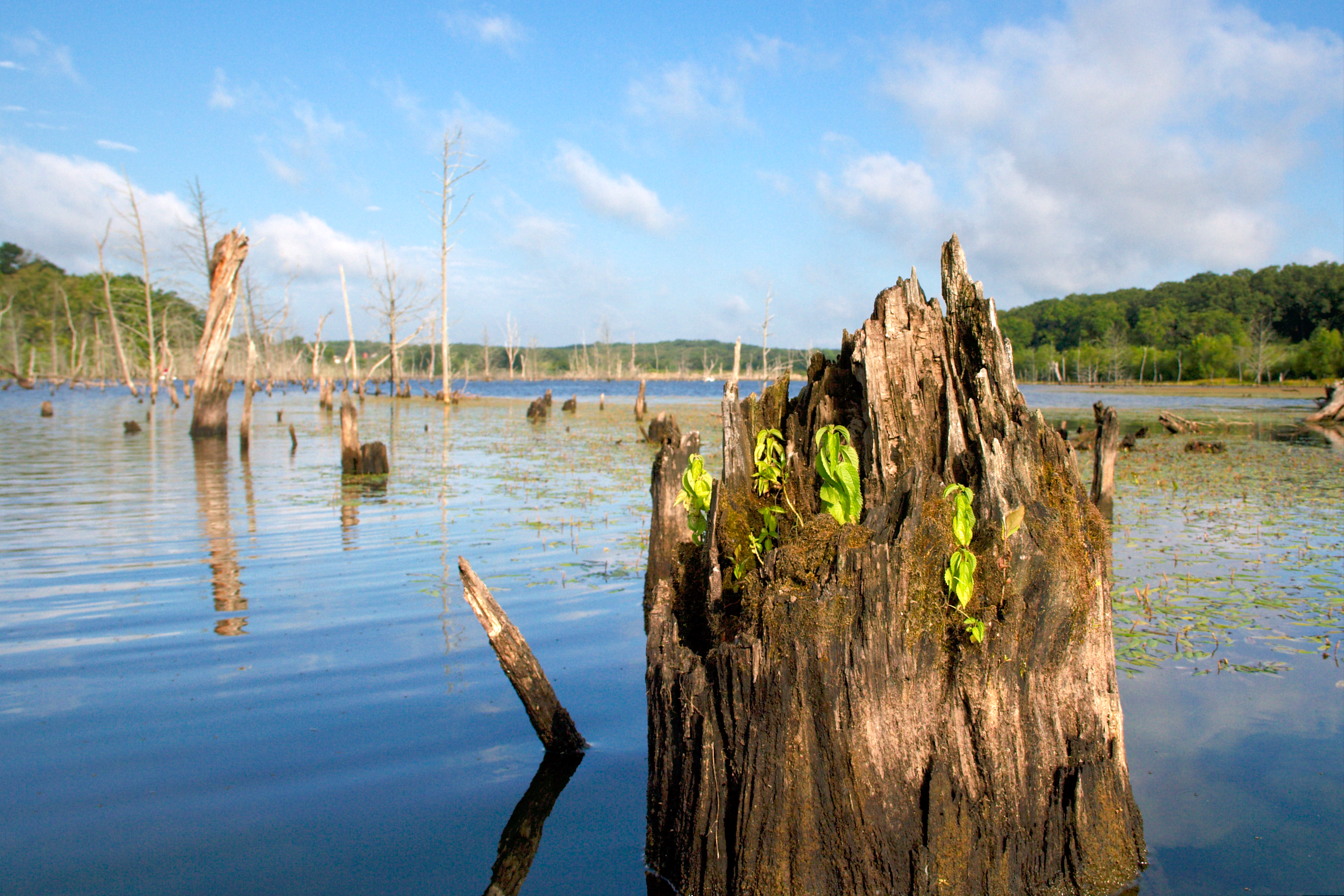
kayak-0099

Fire in the sky

Fire in the sky

Some storms that were to the south of me.

Some storms that were to the south of me.
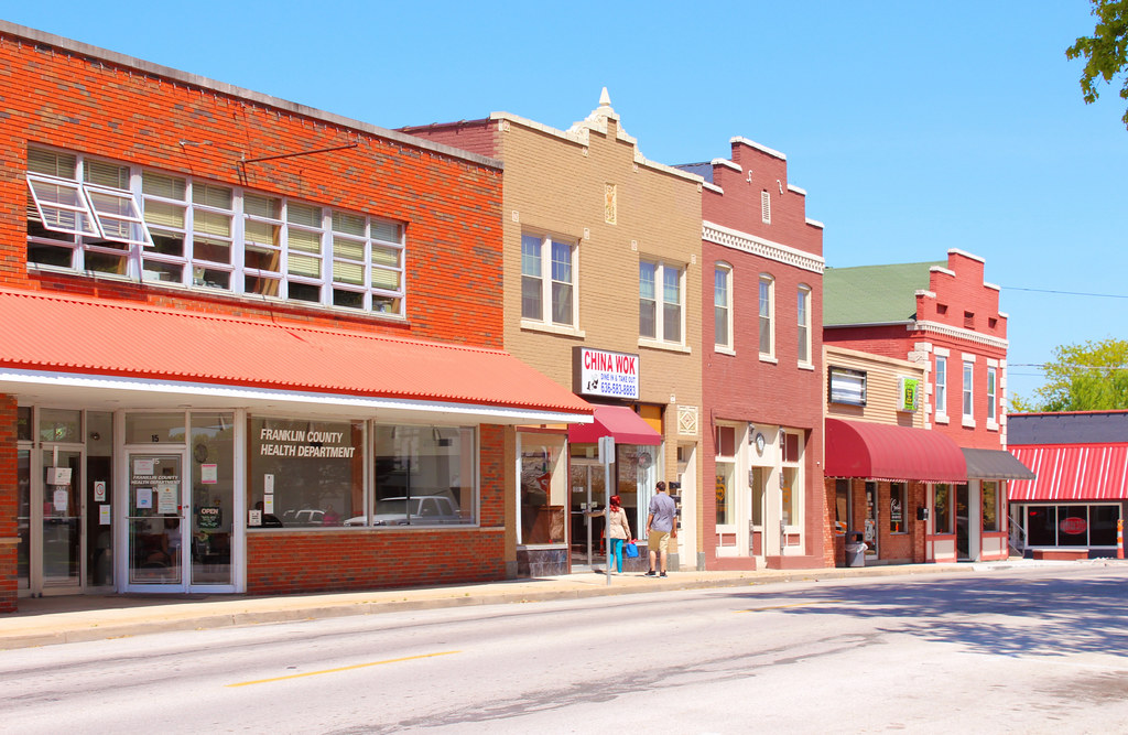
Downtown Union Infill

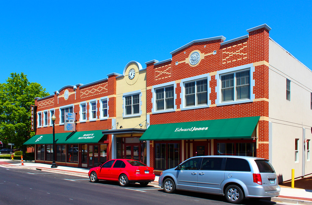
Main Street Union
Downtown Union

Radio, radio
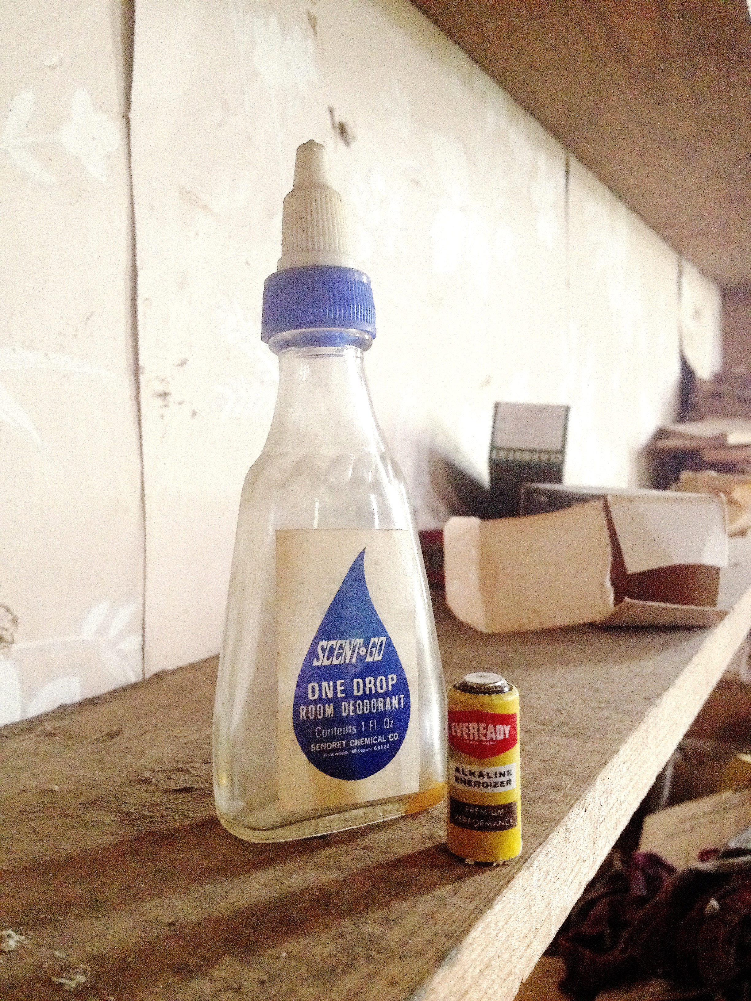
One Drop

This Day

File Under Water

Xmas Dog Food
Buffalo Ridge School

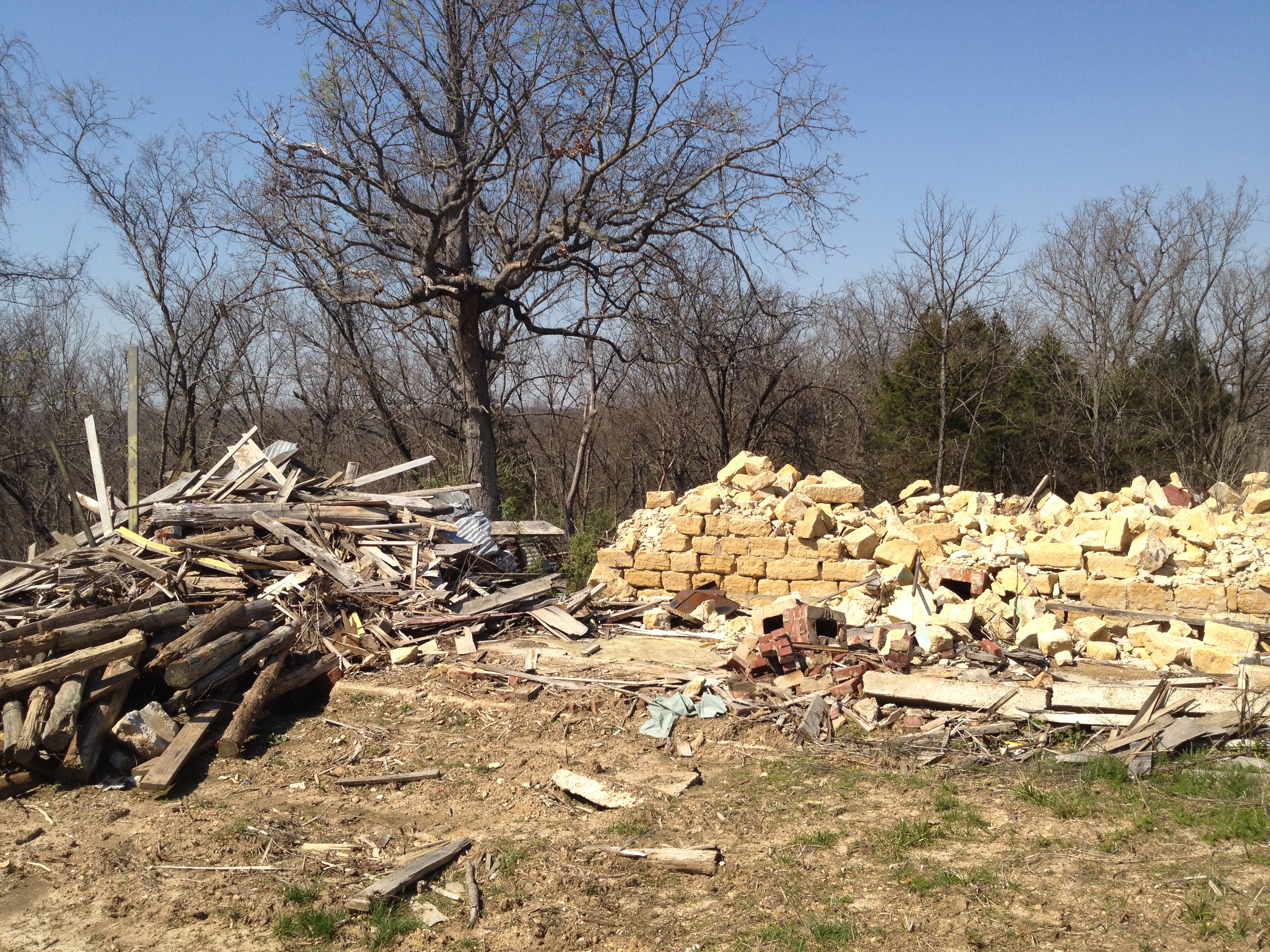
Found it just like this
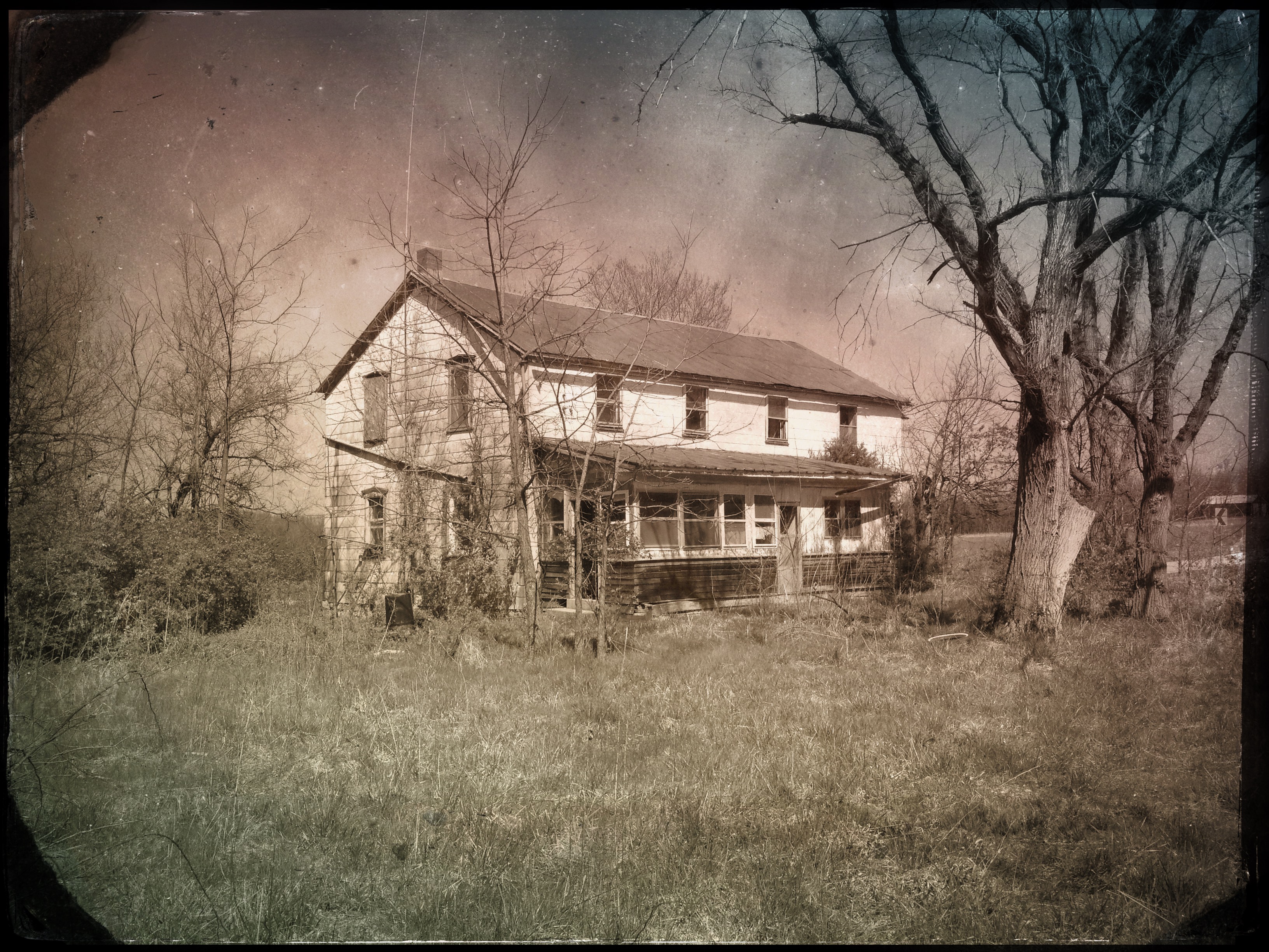
"#4011 House"

Middle East Comfort Zone
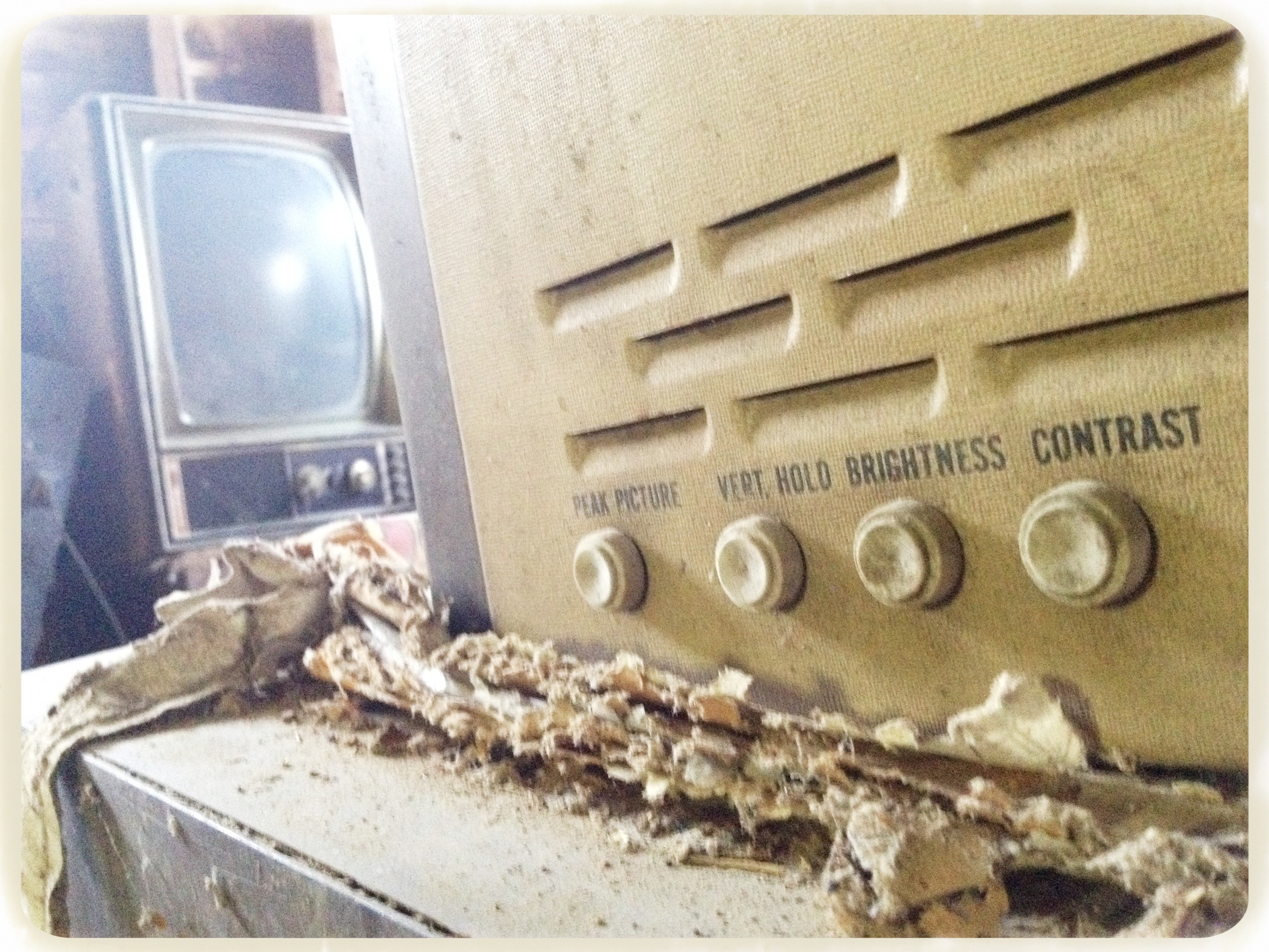
Picture adjustments

Lemon Lime

LeRoy's bus

Maverick Channel Master

Big Ben
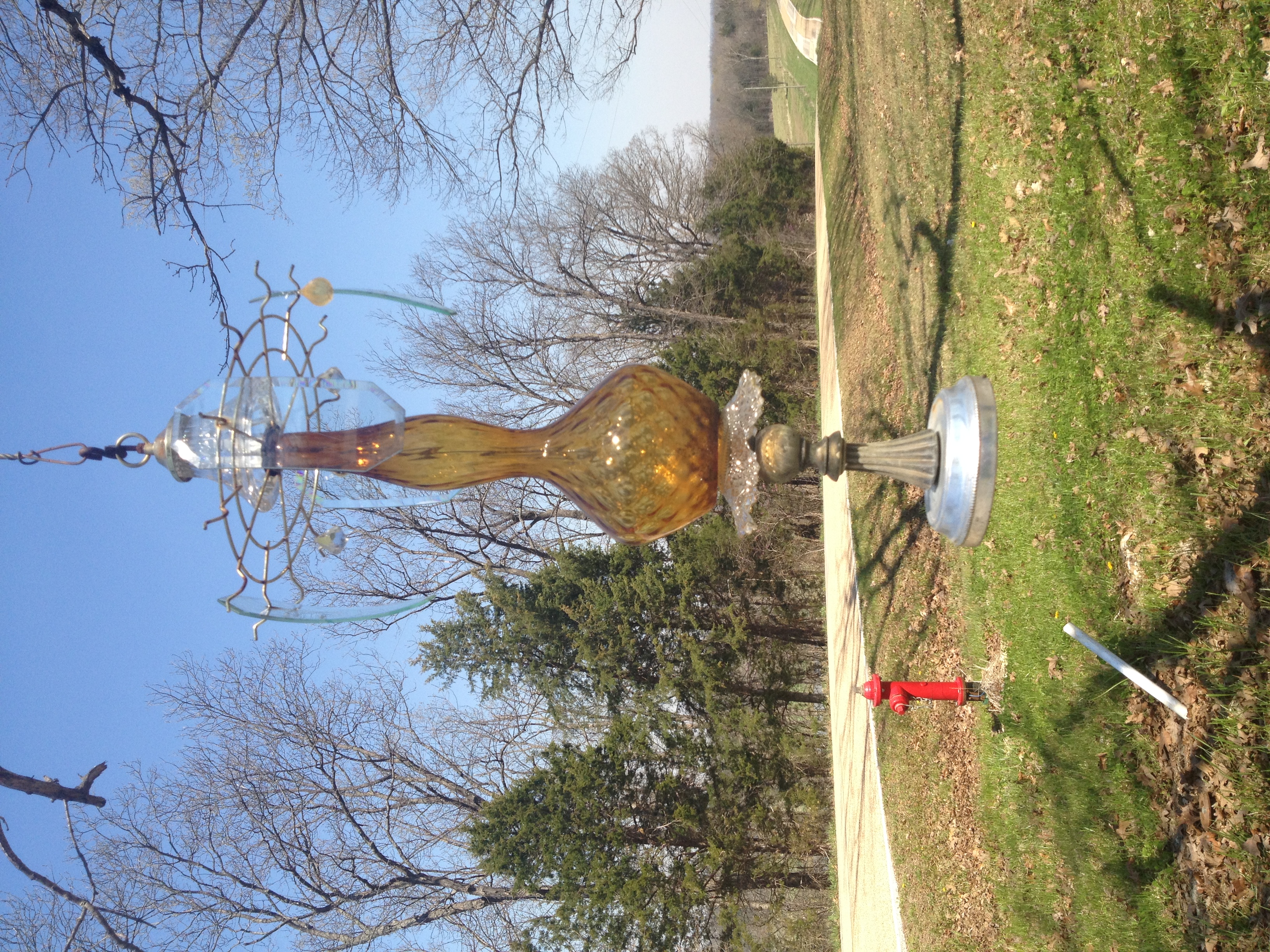
Lawn o' Lamps
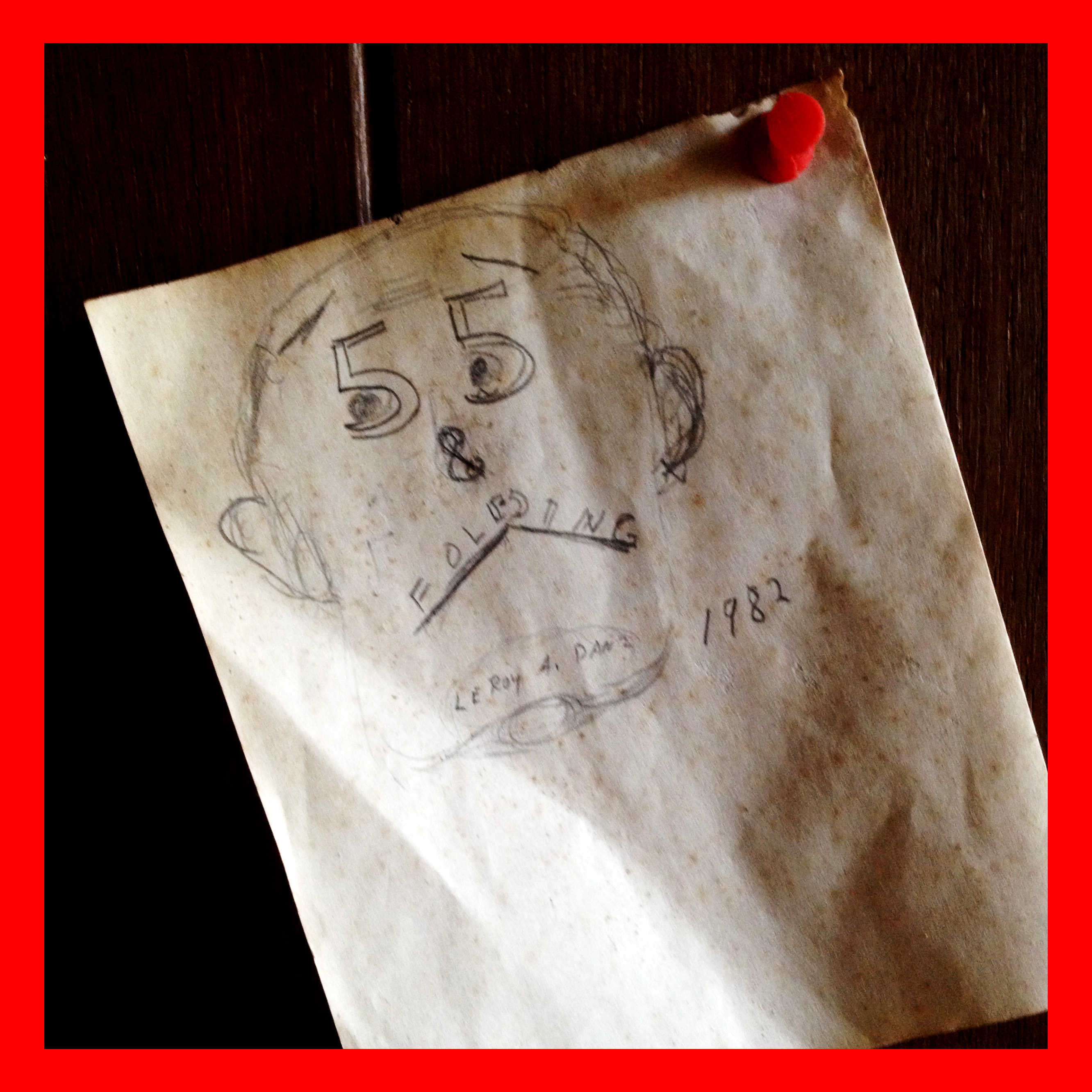
55 & Folding

Razors & hair tonic
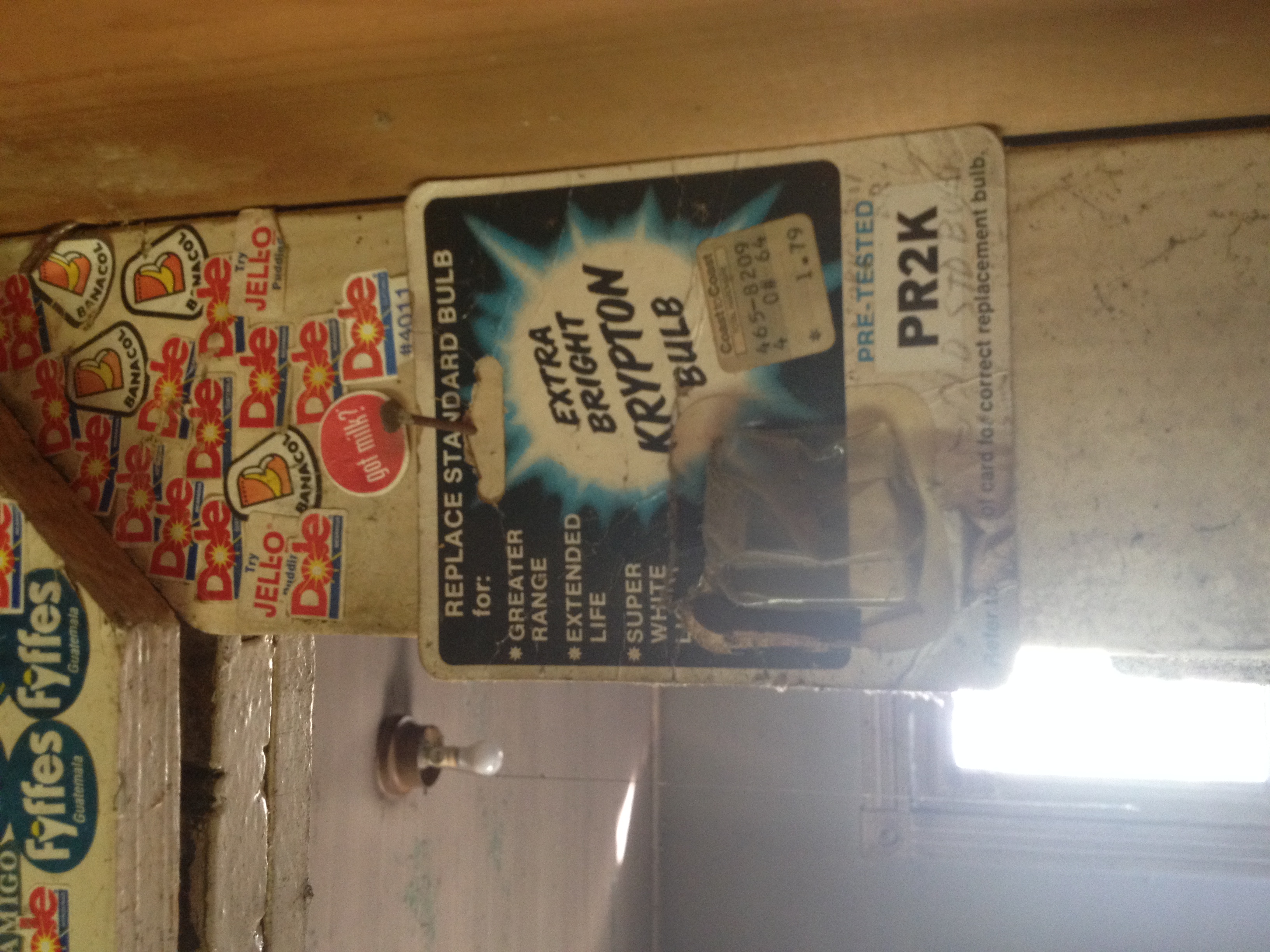
Krypton Bulb
Topographic Map of US-50, Beaufort, MO, USA
Find elevation by address:

Places near US-50, Beaufort, MO, USA:
Beaufort
Leslie
Wildwood Road
Franklin County
Boone Township
S Lake Dr, Leslie, MO, USA
US-50, Union, MO, USA
State Hwy YY, Washington, MO, USA
Union Township
Champion City Church Road
Meramec Township
6510 State Hwy Bb
4783 N 4 Mile Rd
3090 Beck Addition Rd
Rose Lee Lane
MO-, Washington, MO, USA
W Springfield Rd, St Clair, MO, USA
311 Torrey Pines Cir
184 Dinky Rd
St. Johns Township
Recent Searches:
- Elevation of Corso Fratelli Cairoli, 35, Macerata MC, Italy
- Elevation of Tallevast Rd, Sarasota, FL, USA
- Elevation of 4th St E, Sonoma, CA, USA
- Elevation of Black Hollow Rd, Pennsdale, PA, USA
- Elevation of Oakland Ave, Williamsport, PA, USA
- Elevation of Pedrógão Grande, Portugal
- Elevation of Klee Dr, Martinsburg, WV, USA
- Elevation of Via Roma, Pieranica CR, Italy
- Elevation of Tavkvetili Mountain, Georgia
- Elevation of Hartfords Bluff Cir, Mt Pleasant, SC, USA