Elevation of S Lake Dr, Leslie, MO, USA
Location: United States > Missouri > Franklin County > Boone Township > Leslie >
Longitude: -91.253805
Latitude: 38.3497295
Elevation: 226m / 741feet
Barometric Pressure: 99KPa
Elevation Map:
Satellite Map:
Related Photos:
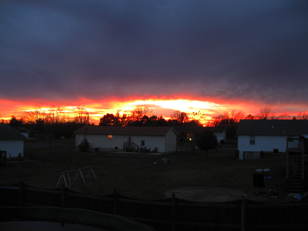
Backyard Sunset 2
kayak-0099
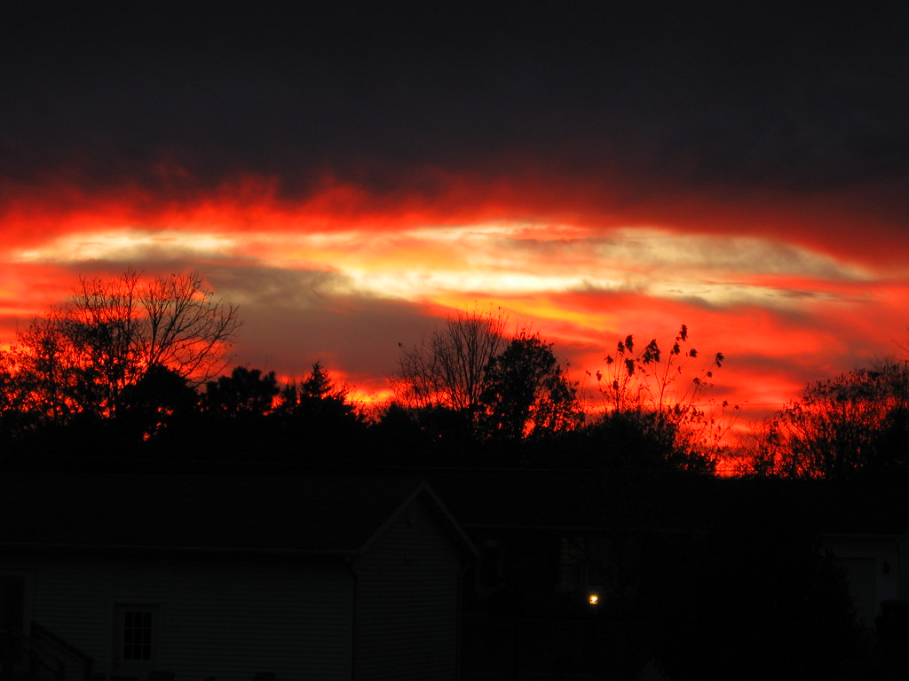
Backyard Sunset 1

Open Country Road

Early Spring Daffodils

Lemon Lime

Big Ben

Anchovy!
Roadside Rest

Radio, radio
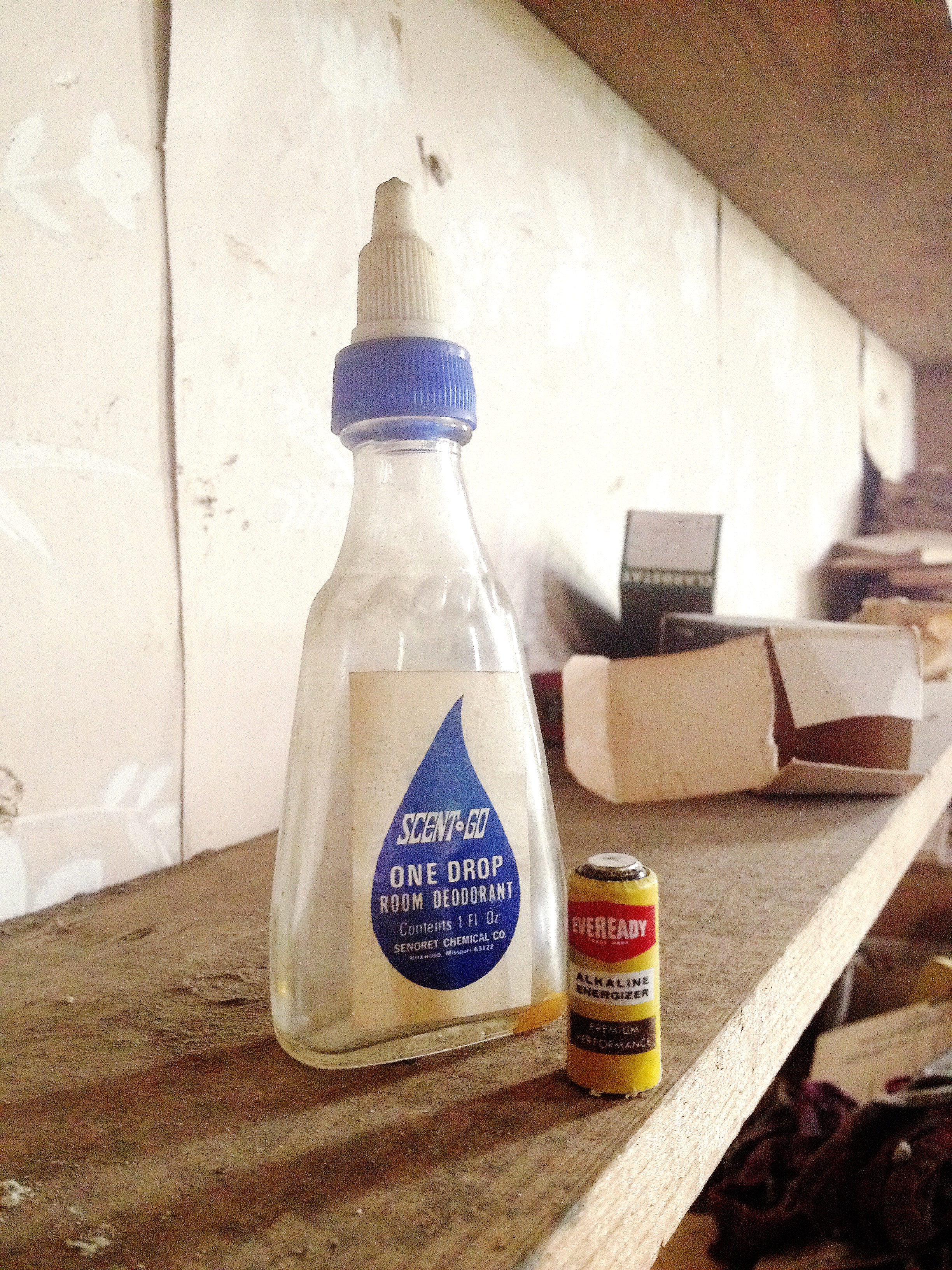
One Drop

This Day

File Under Water

Xmas Dog Food
Buffalo Ridge School

Found it just like this
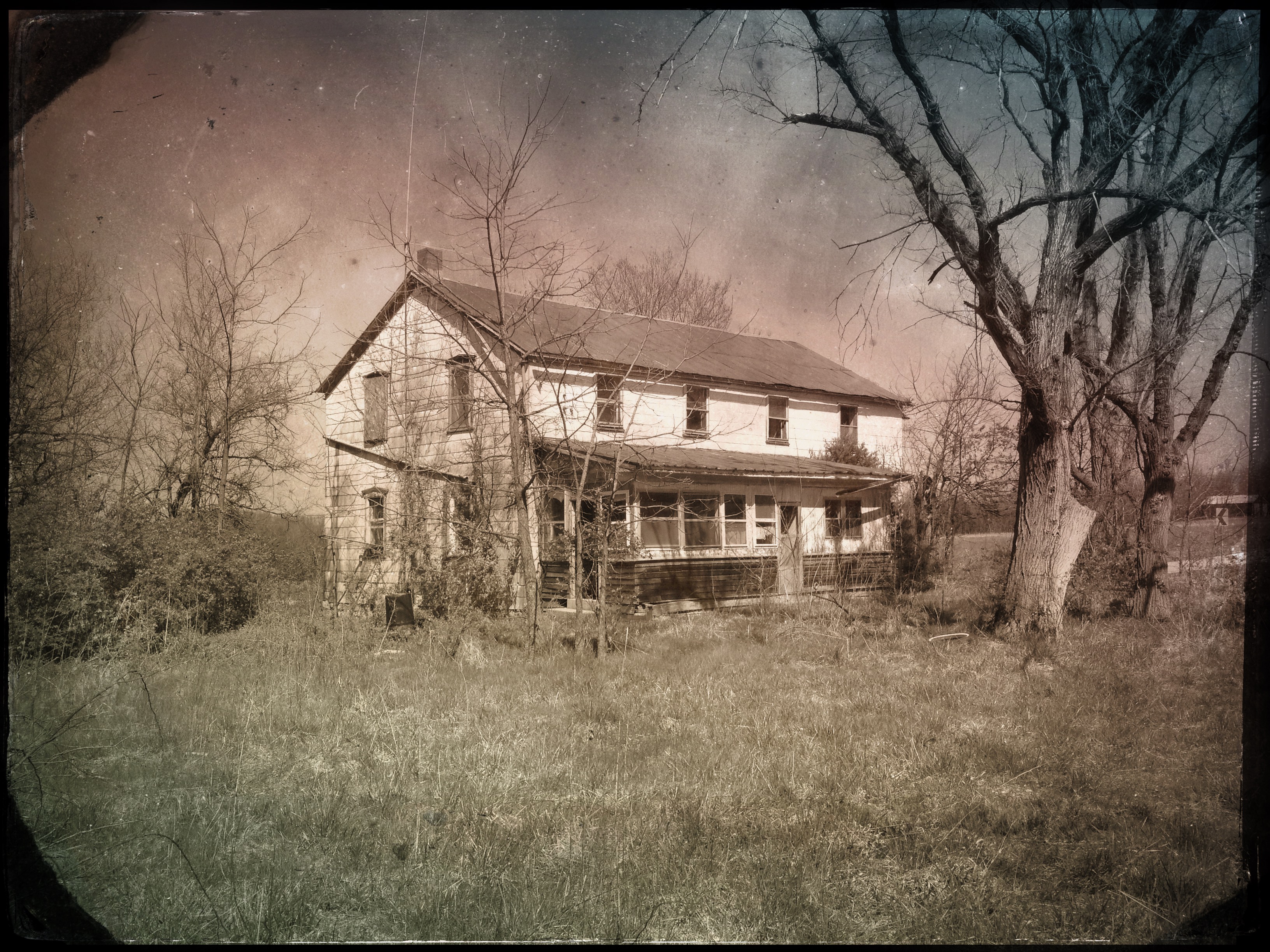
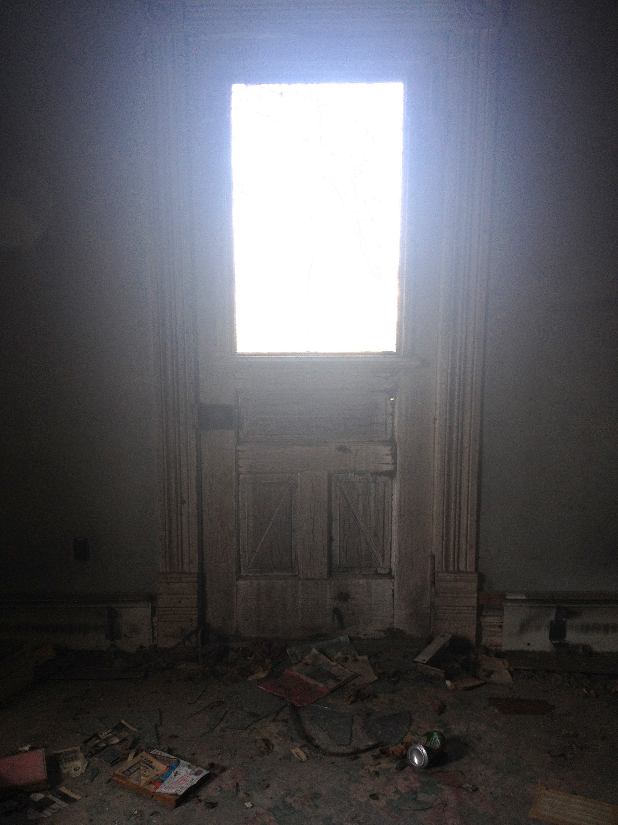
"#4011 House"

Middle East Comfort Zone
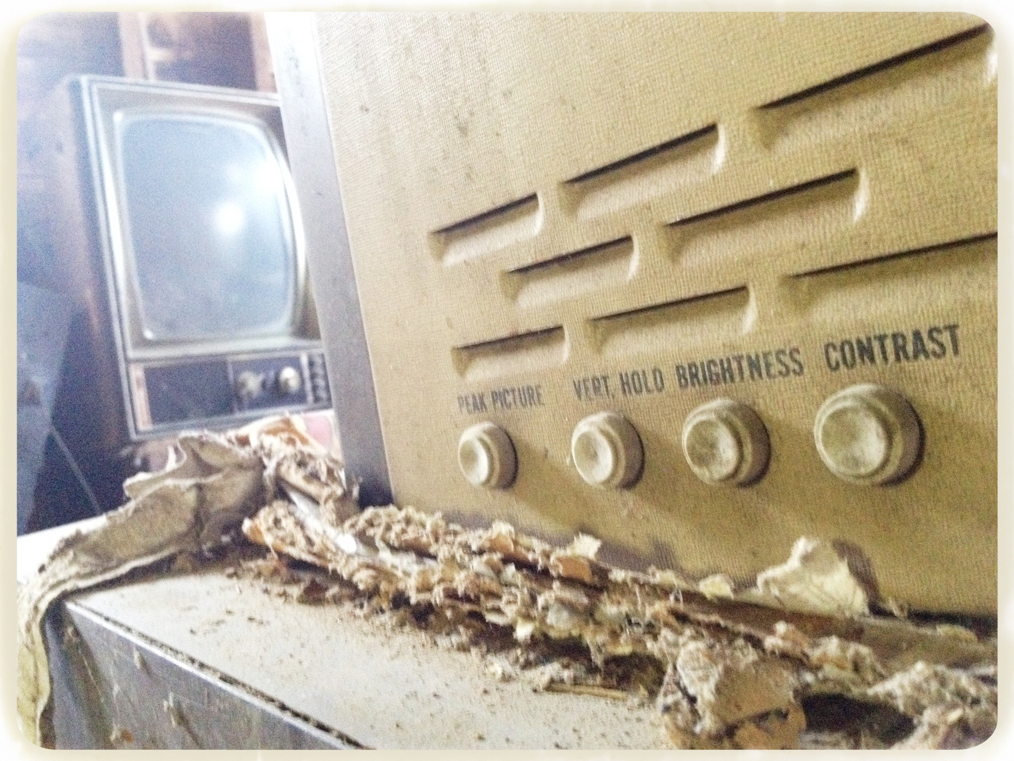
Picture adjustments

LeRoy's bus

Maverick Channel Master
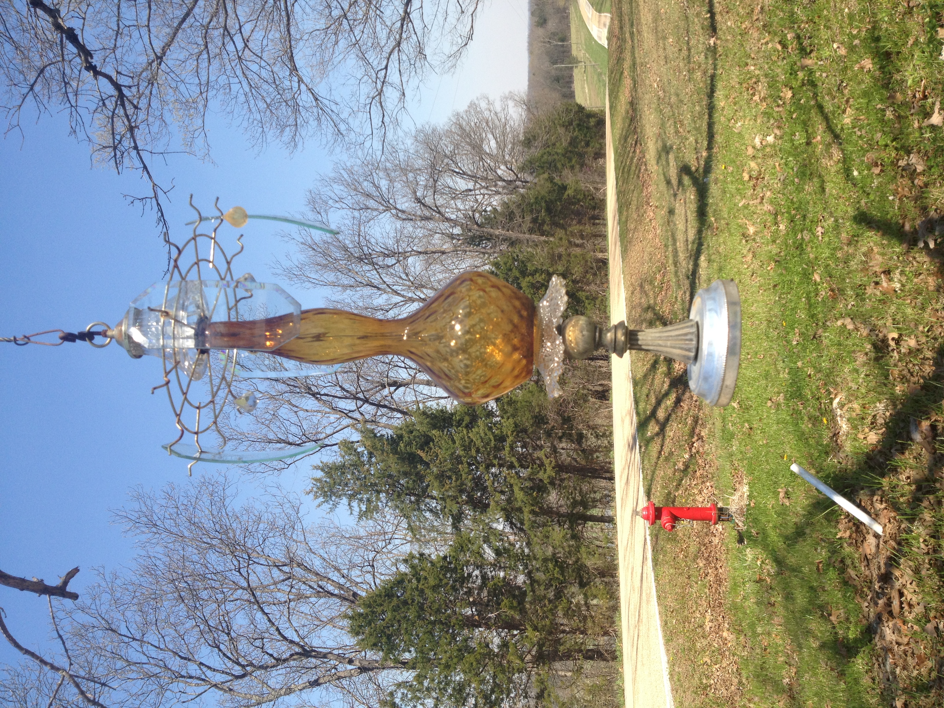
Lawn o' Lamps
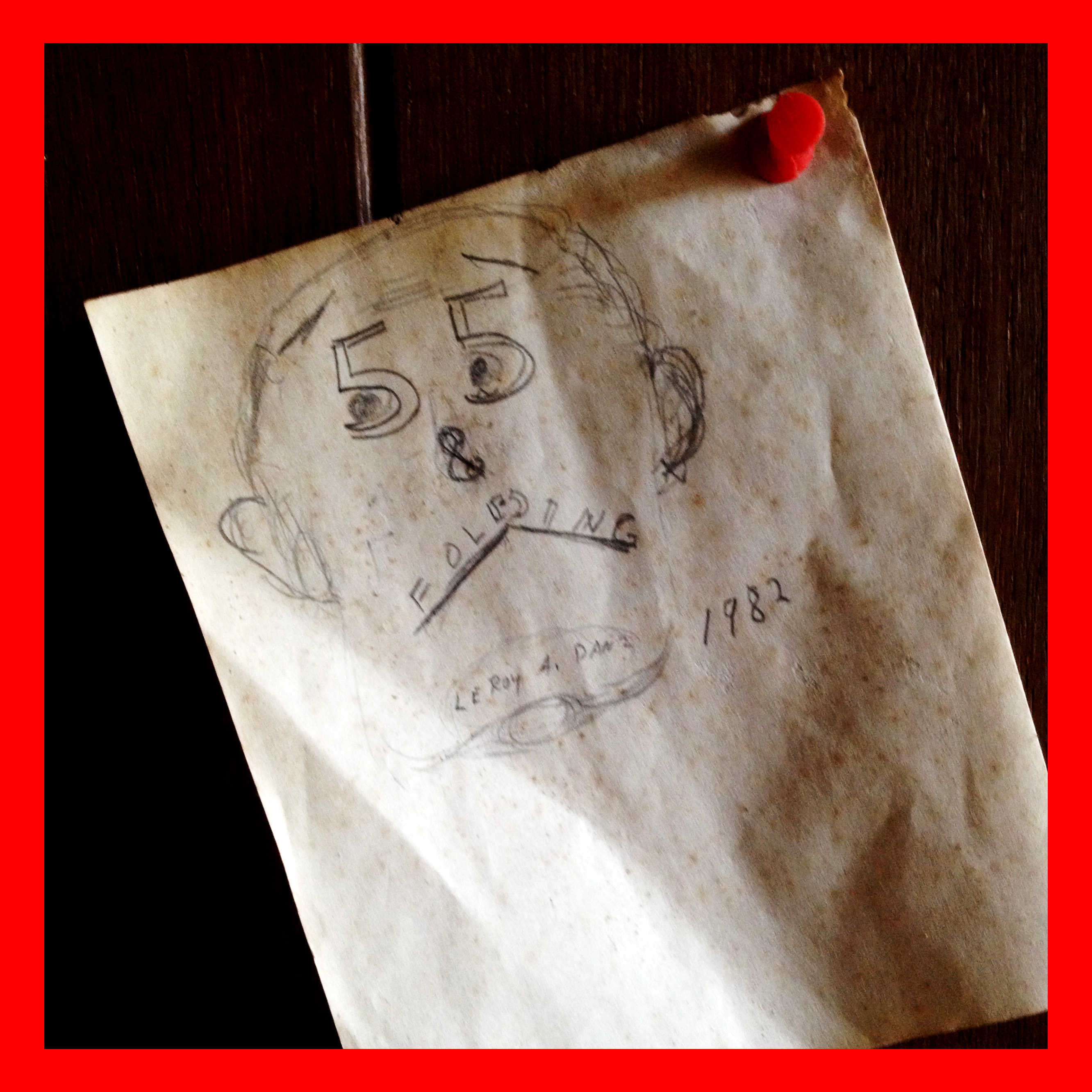
55 & Folding

Razors & hair tonic

Krypton Bulb
Day glow
Topographic Map of S Lake Dr, Leslie, MO, USA
Find elevation by address:

Places near S Lake Dr, Leslie, MO, USA:
Boone Township
Champion City Church Road
Leslie
7254 Indian Bend Rd
Beaufort
US-50, Beaufort, MO, USA
Japan
Wildwood Road
Franklin County
184 Dinky Rd
Meramec Township
Rosebud
36 Taylor St, Sullivan, MO, USA
Sullivan
North Service Rd W, Bourbon, MO, USA
Saint Cloud
Union Township
US-50, Union, MO, USA
W Springfield Rd, St Clair, MO, USA
Meramec Caverns
Recent Searches:
- Elevation of Hercules Dr, Colorado Springs, CO, USA
- Elevation of Szlak pieszy czarny, Poland
- Elevation of Griffing Blvd, Biscayne Park, FL, USA
- Elevation of Kreuzburger Weg 13, Düsseldorf, Germany
- Elevation of Gateway Blvd SE, Canton, OH, USA
- Elevation of East W.T. Harris Boulevard, E W.T. Harris Blvd, Charlotte, NC, USA
- Elevation of West Sugar Creek, Charlotte, NC, USA
- Elevation of Wayland, NY, USA
- Elevation of Steadfast Ct, Daphne, AL, USA
- Elevation of Lagasgasan, X+CQH, Tiaong, Quezon, Philippines