Elevation of N 4 Mile Rd, Washington, MO, USA
Location: United States > Missouri > Franklin County > St. Johns Township >
Longitude: -91.053915
Latitude: 38.5183611
Elevation: 212m / 696feet
Barometric Pressure: 99KPa
Elevation Map:
Satellite Map:
Related Photos:
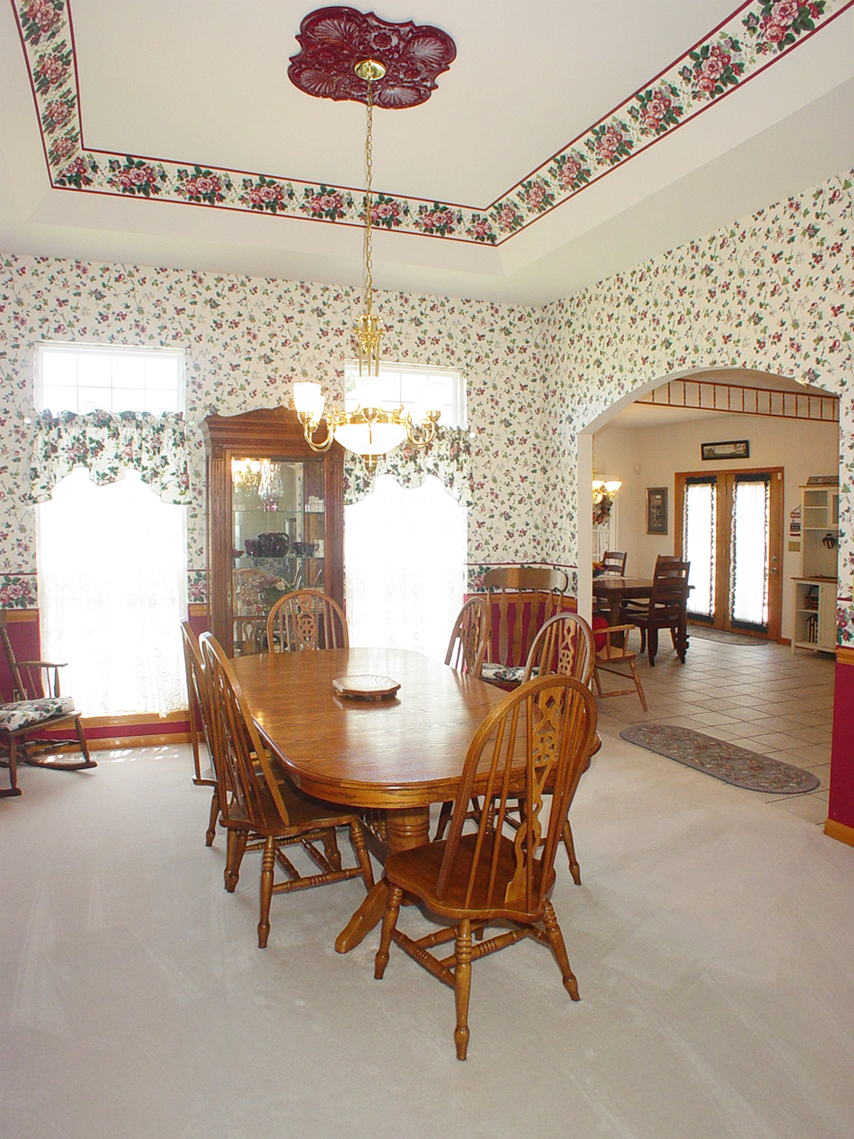
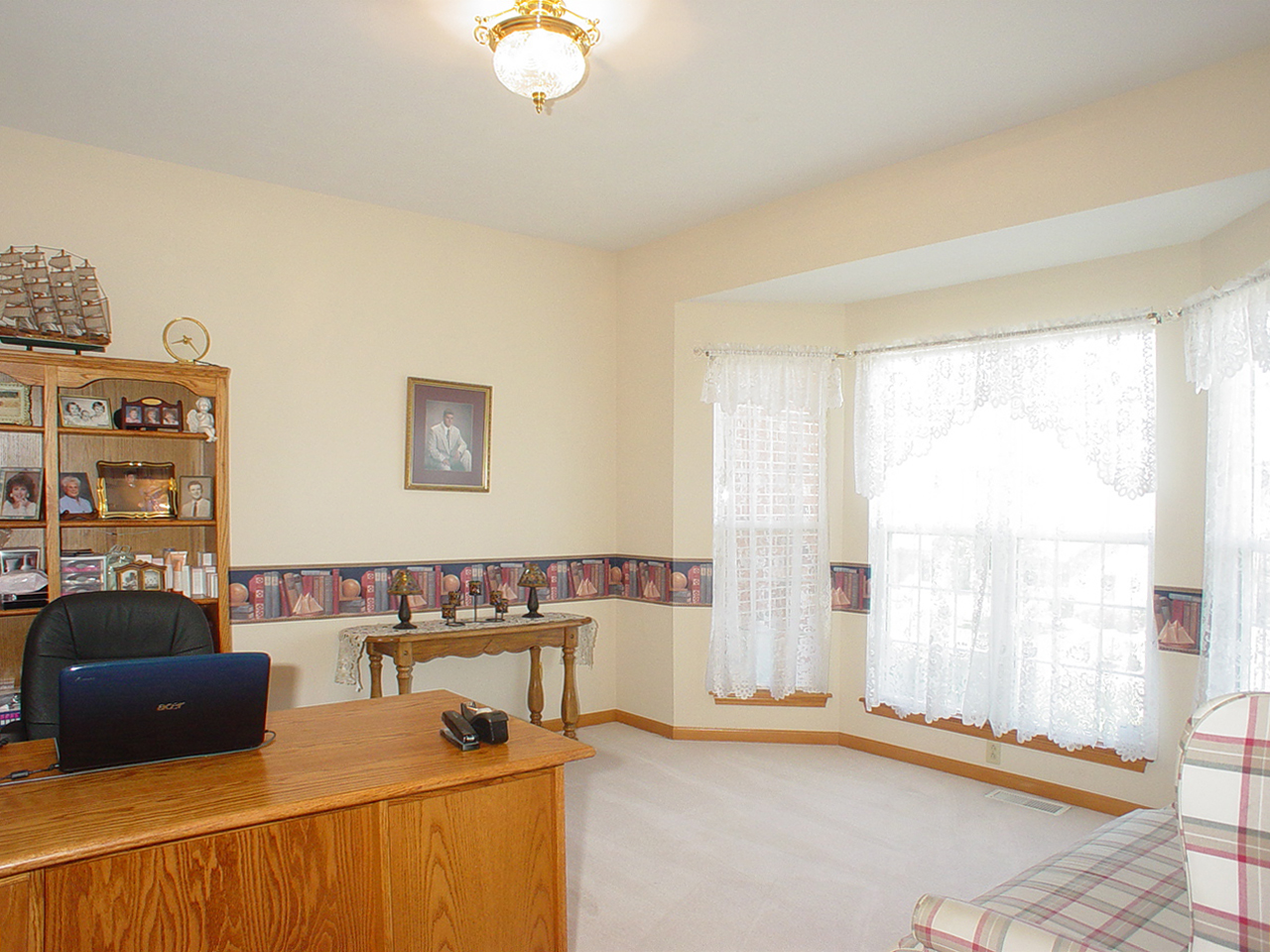
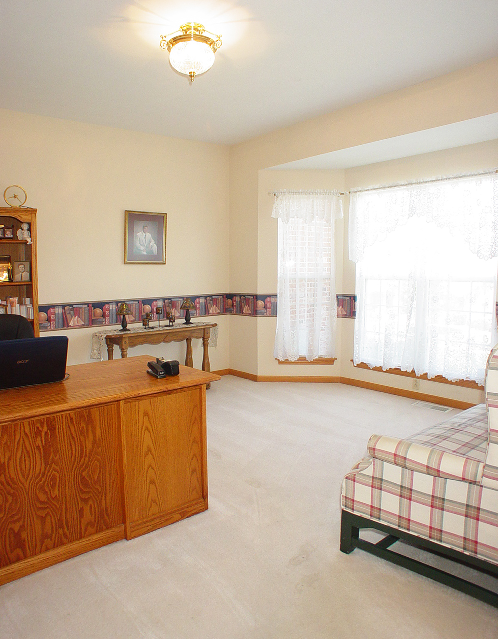
Dining Room
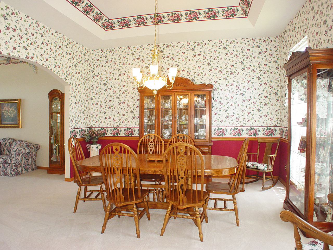
Dining Room
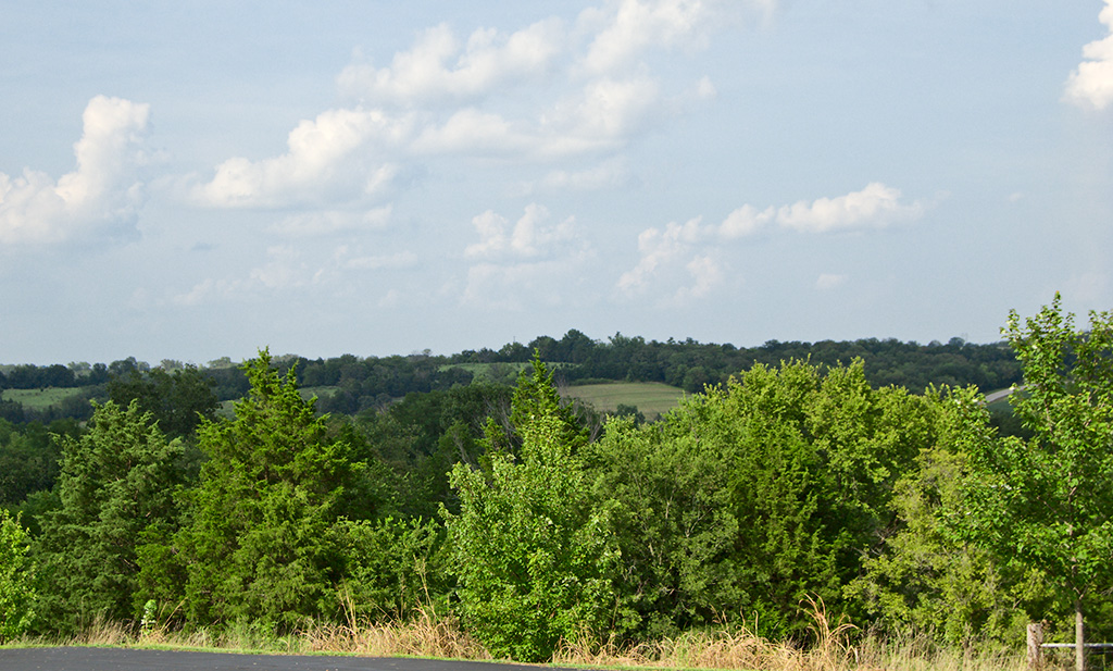
Fern Rock Yard
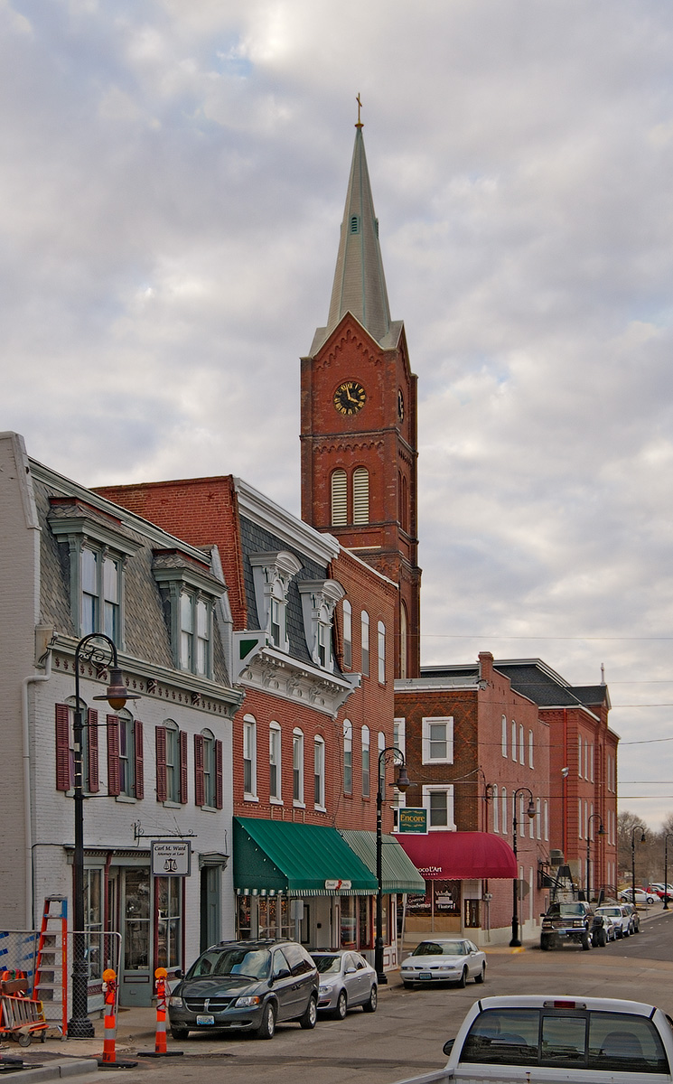
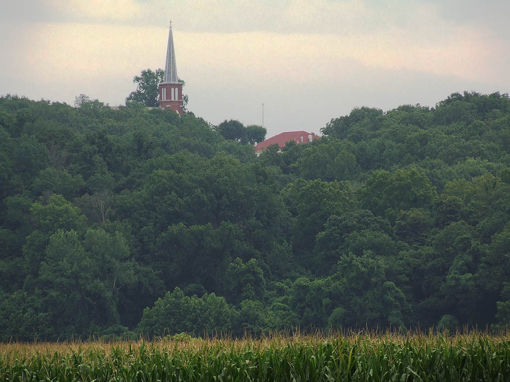
Downtown Washington, Missouri, USA - street view of Saint Francis Borgia Church tower
Saint John the Baptist Roman Catholic Church, in Villa Ridge (Gildehaus), Missouri, USA - view from parking lot
Sun Room
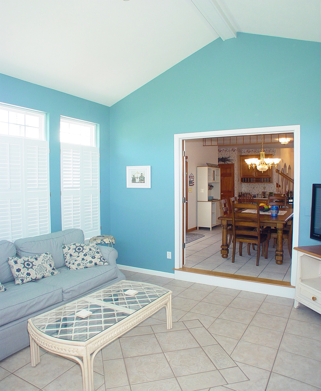
Living Room
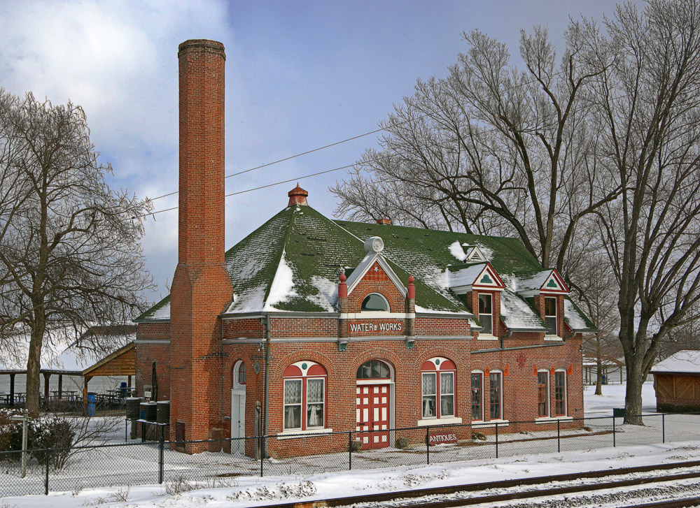
Old Water Works building, in Washington, Missouri, USA - exterior view in snow
Living Room
Saint Vincent de Paul Roman Catholic Church, in Dutzow, Missouri, USA - view from distance.jpg
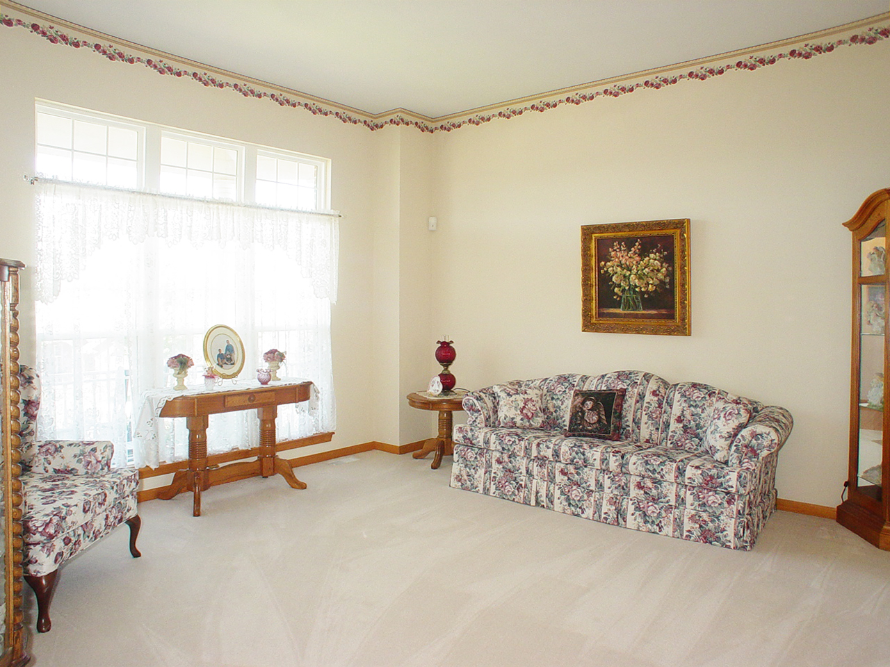
Living Room

Sun Room
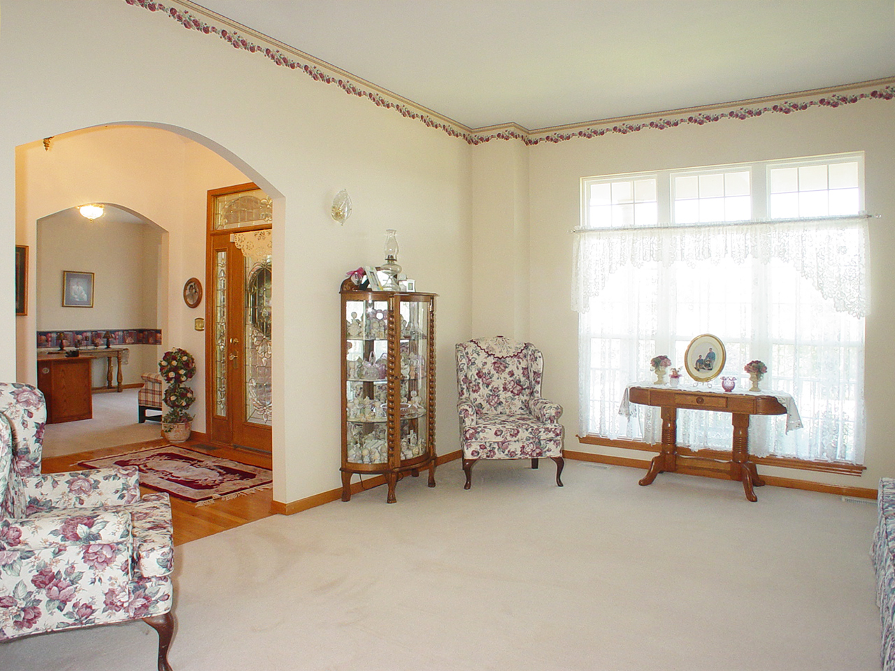
Living Room
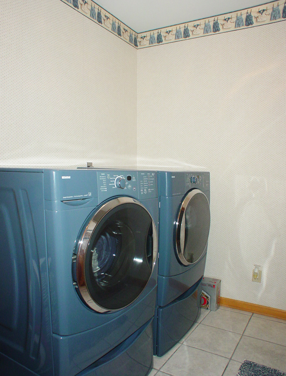
Laundry Room

hungry? thirsty?
the view from above
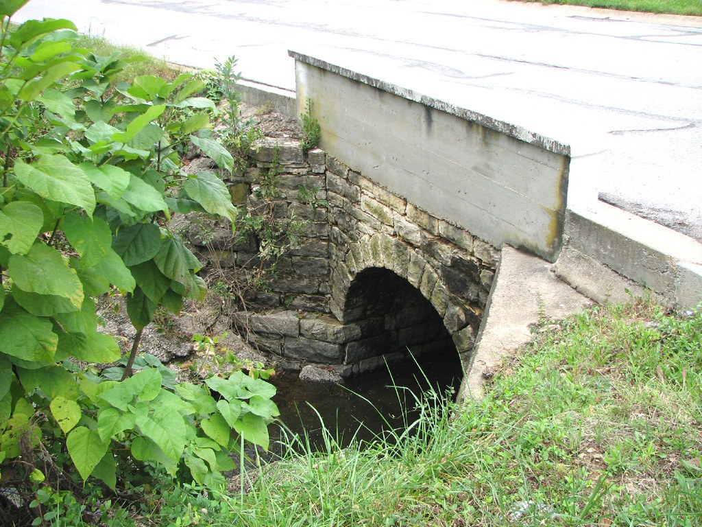
Close-up Stone Culvert-Union, MO
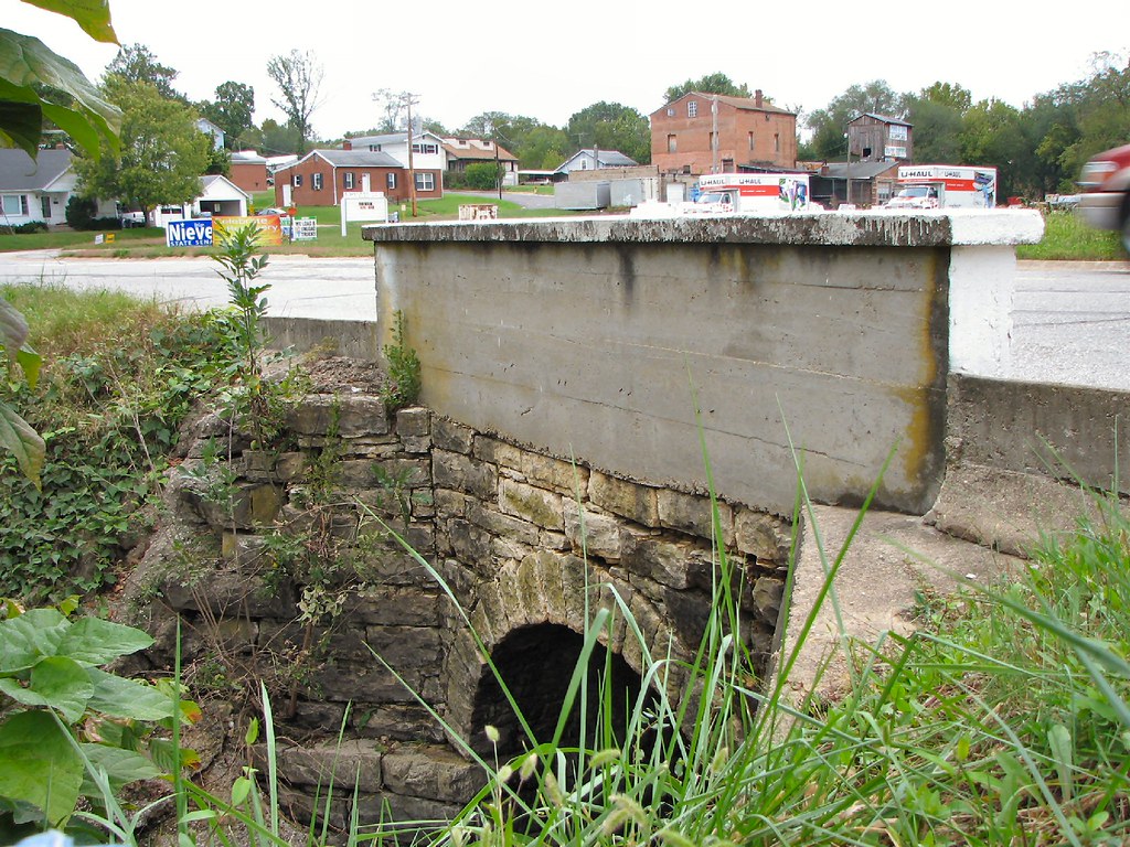
Side View Stone Culvert-Union, MO
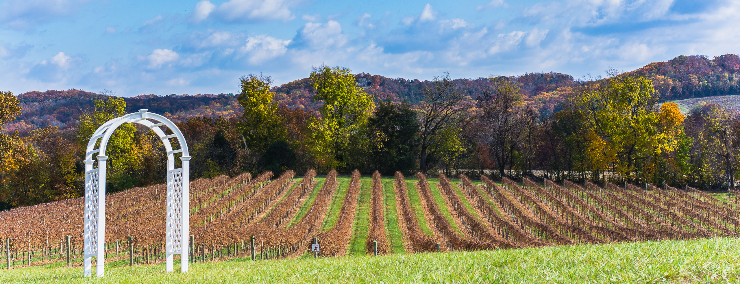
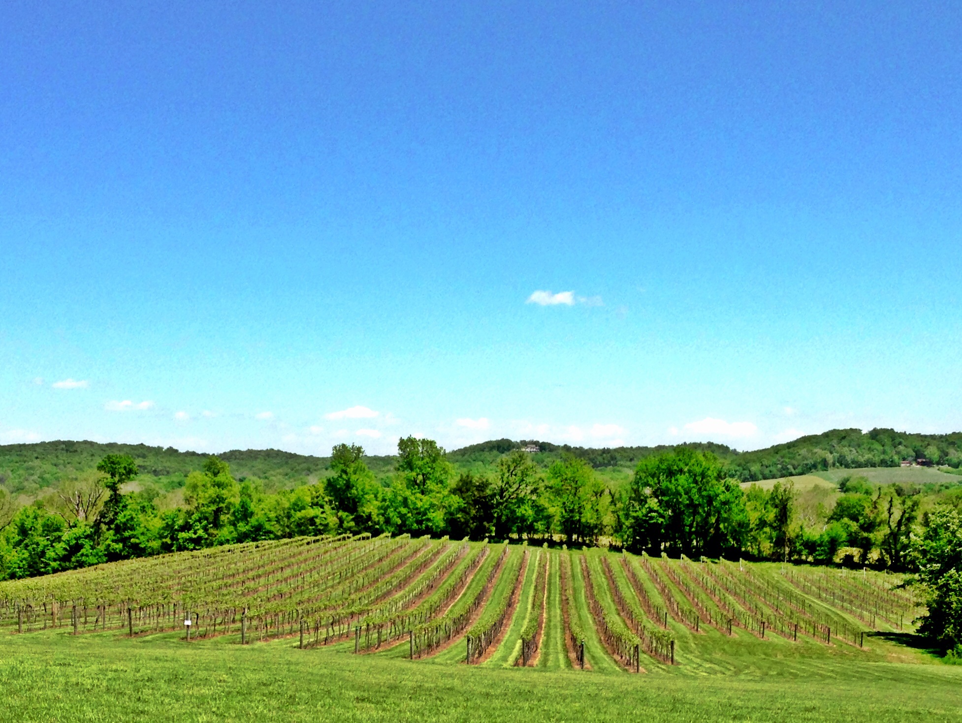
Grapes of Autumn
Out of control #winewedding
_MG_9604.jpg
_MG_9605.jpg
Day 125

????????????
The mighty MO as we cross into Washington, MO. That steeple is the church pam and I got married in!
My favorite pic of the trip
Robertsville State Park
Robertsville State Park
And it's ontime!
Robertsville State Park
Family reunion: Sunset
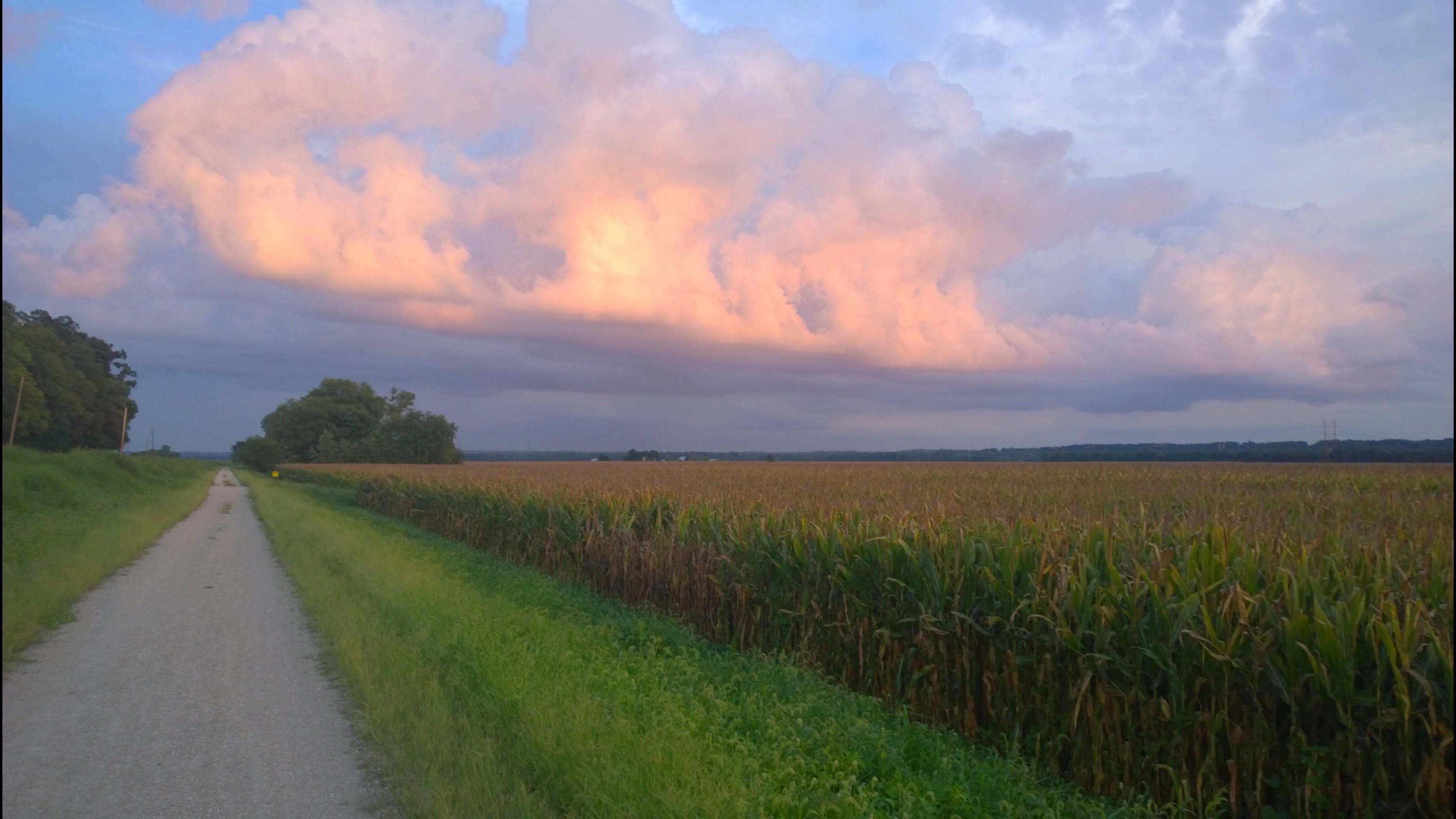
fields of gold
The man with the plan...and the equipment
Katy Trail
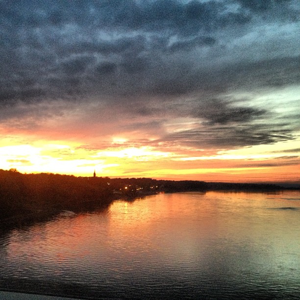
Missouri River
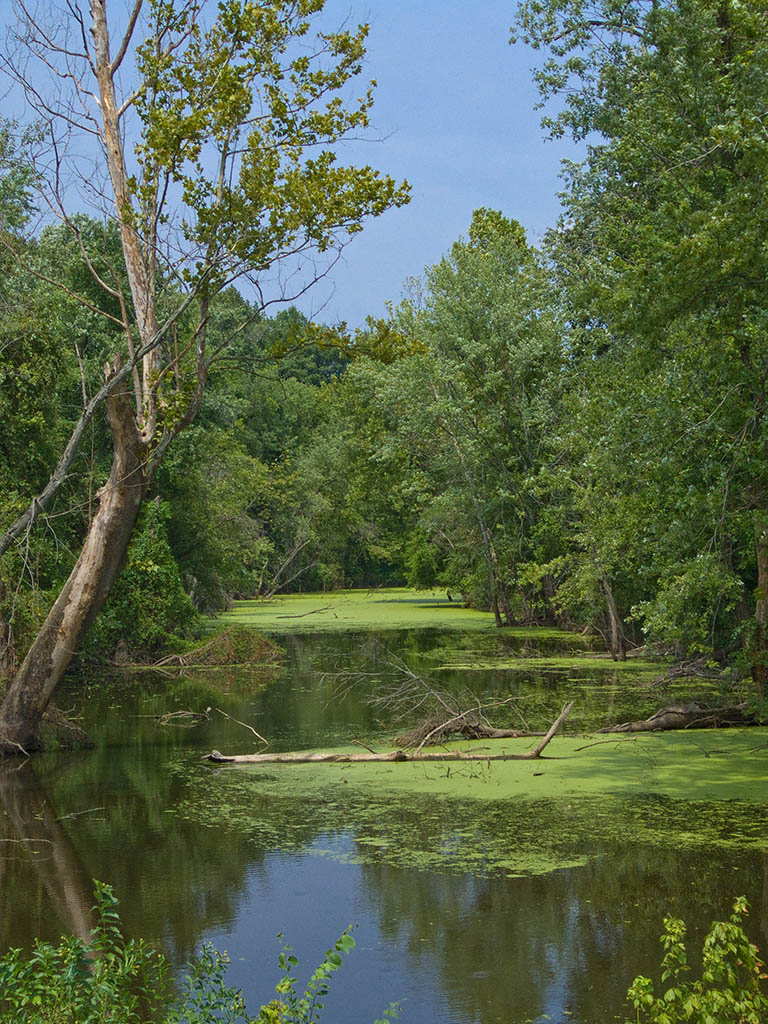
Saint John Creek, in Washington, Missouri, USA.jpg

Missouri River, Washington (Mo.), 28 September 2013
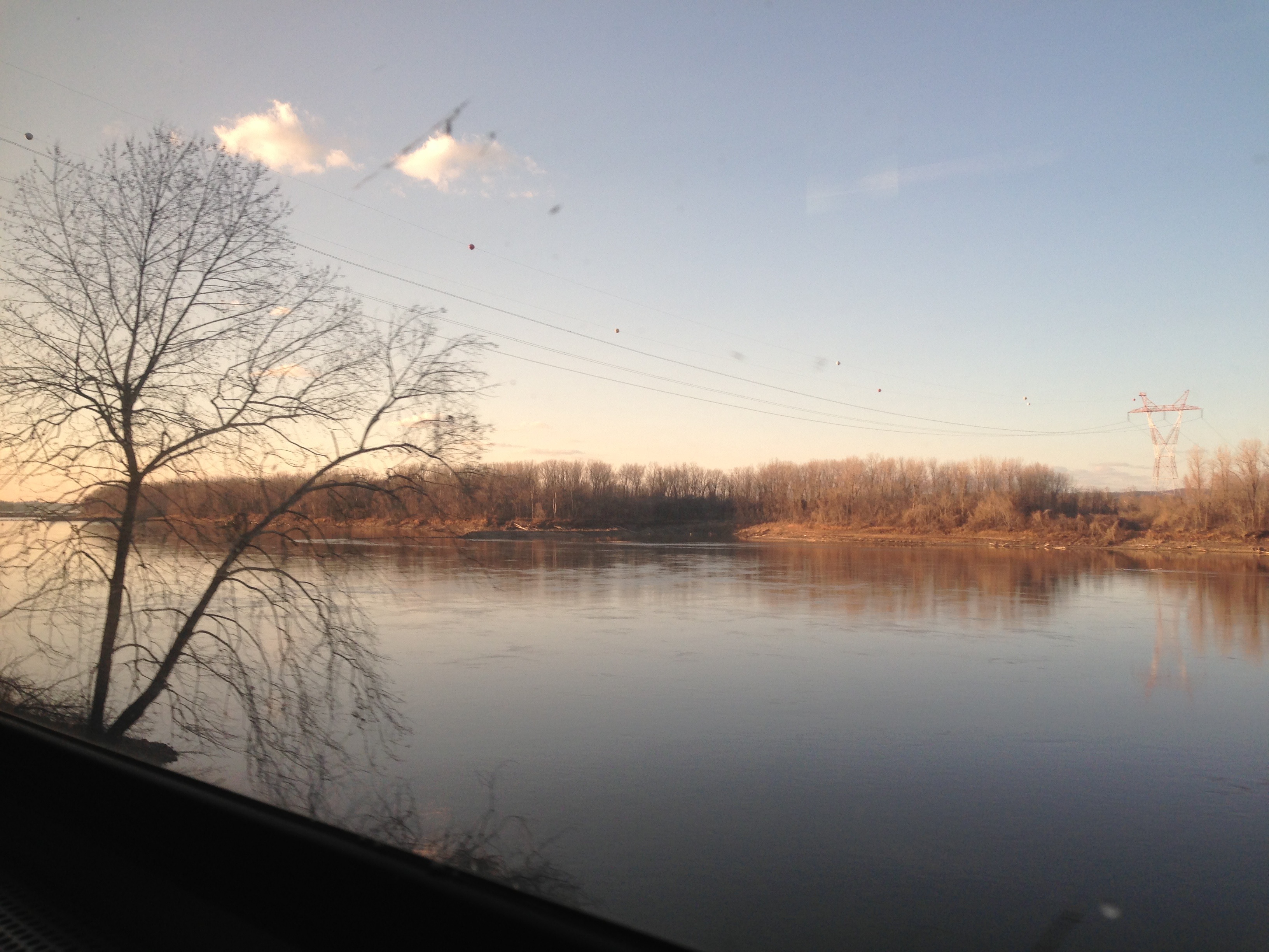
Missouri River near Washington, MO
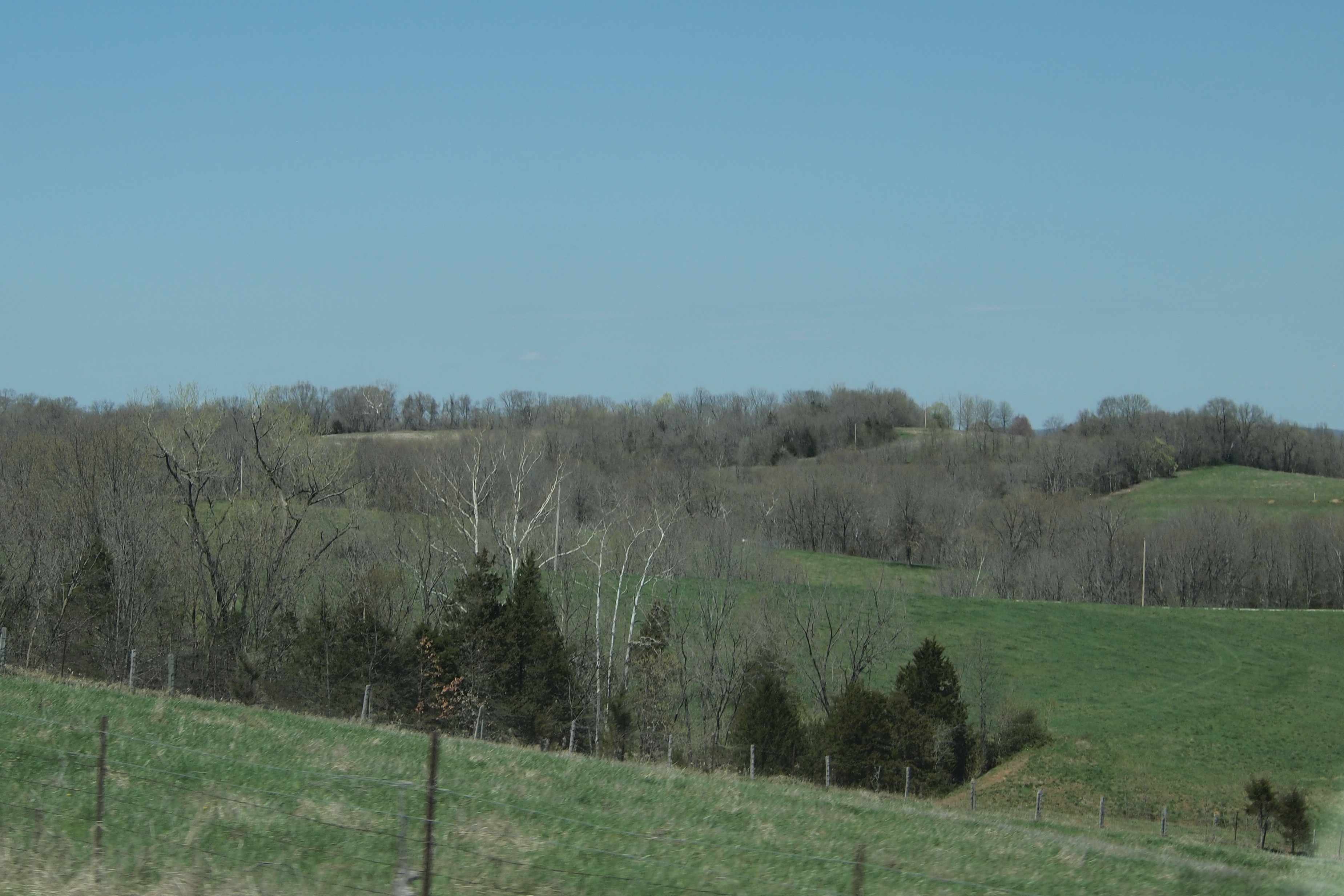
Rolling Hills of Missouri Rhineland along Highway 100 near New Haven, MO_P4133216c
Topographic Map of N 4 Mile Rd, Washington, MO, USA
Find elevation by address:

Places near N 4 Mile Rd, Washington, MO, USA:
St. Johns Township
311 Torrey Pines Cir
Rainbow Ridge
305 Emily Ln
305 Emily Ln
305 Emily Ln
305 Emily Ln
2 Ruether Ct
Schnucks #719
Washington Township
W Front St, Washington, MO, USA
Washington
1775 Bieker Rd
100 Hemsath Rd
Nahm Road
Augusta
Church Road
Church Road
Washington St, Labadie, MO, USA
Labadie
Recent Searches:
- Elevation of Groblershoop, South Africa
- Elevation of Power Generation Enterprises | Industrial Diesel Generators, Oak Ave, Canyon Country, CA, USA
- Elevation of Chesaw Rd, Oroville, WA, USA
- Elevation of N, Mt Pleasant, UT, USA
- Elevation of 6 Rue Jules Ferry, Beausoleil, France
- Elevation of Sattva Horizon, 4JC6+G9P, Vinayak Nagar, Kattigenahalli, Bengaluru, Karnataka, India
- Elevation of Great Brook Sports, Gold Star Hwy, Groton, CT, USA
- Elevation of 10 Mountain Laurels Dr, Nashua, NH, USA
- Elevation of 16 Gilboa Ln, Nashua, NH, USA
- Elevation of Laurel Rd, Townsend, TN, USA