Elevation of Rainbow Ridge, Washington, MO, USA
Location: United States > Missouri > Franklin County > St. Johns Township >
Longitude: -91.033295
Latitude: 38.5244202
Elevation: 215m / 705feet
Barometric Pressure: 99KPa
Elevation Map:
Satellite Map:
Related Photos:
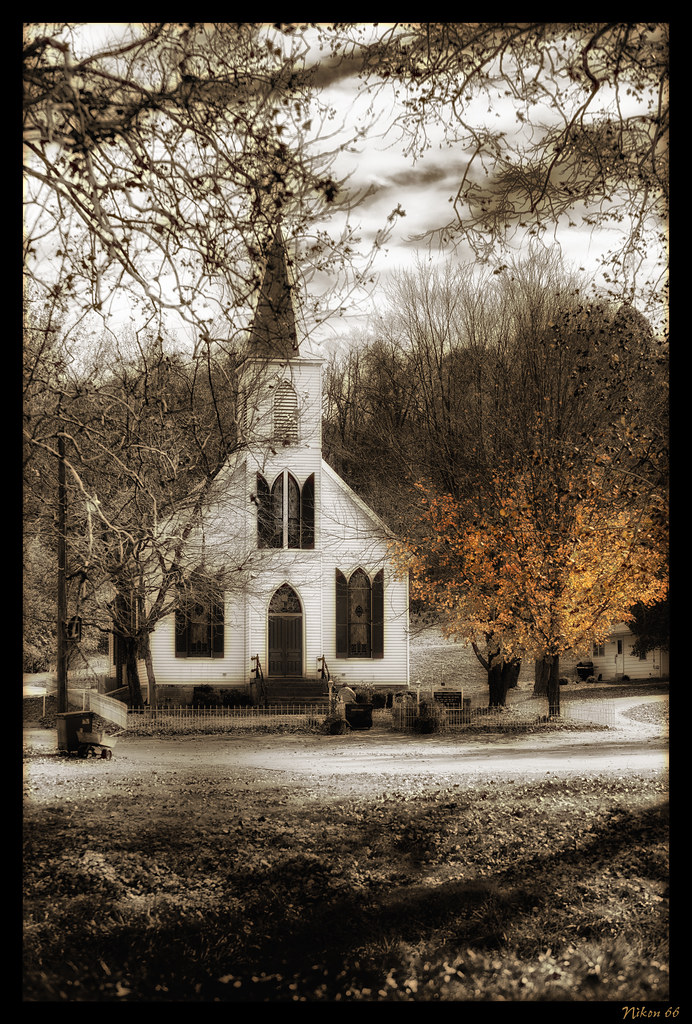
Femme Osage United Church of Christ
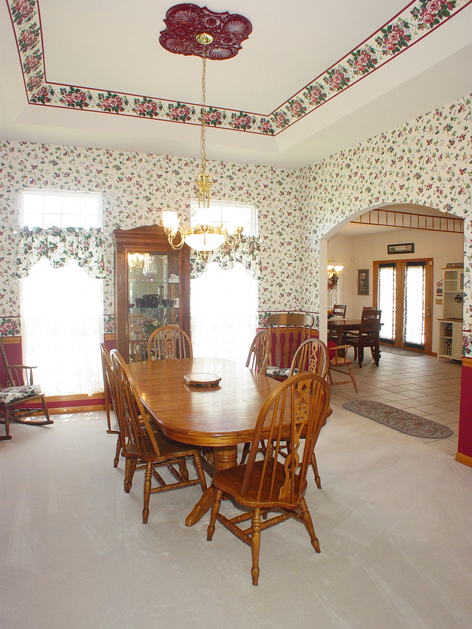
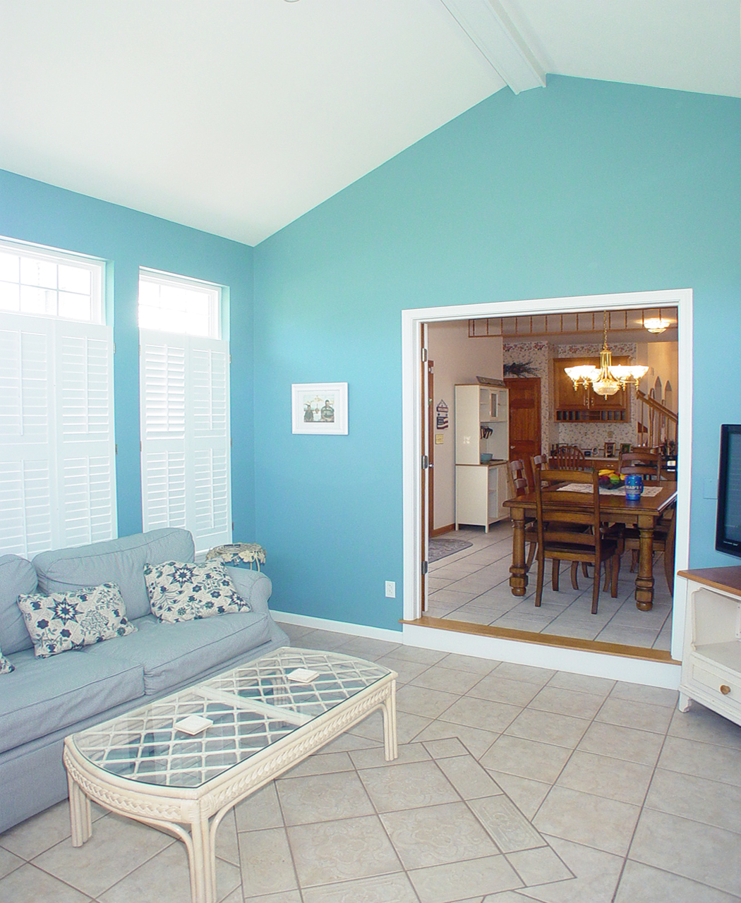
Dining Room
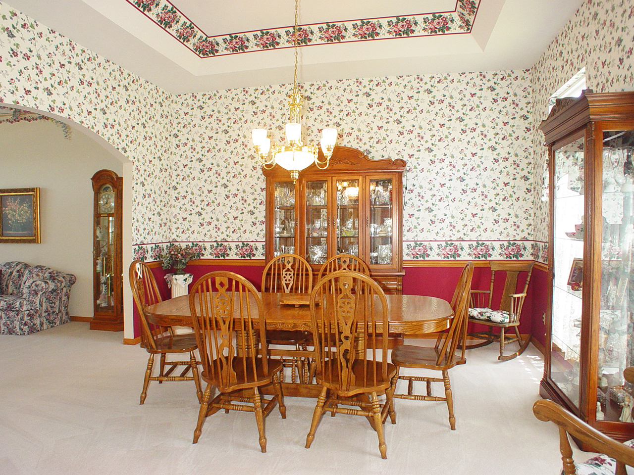
Dining Room
Fern Rock Yard
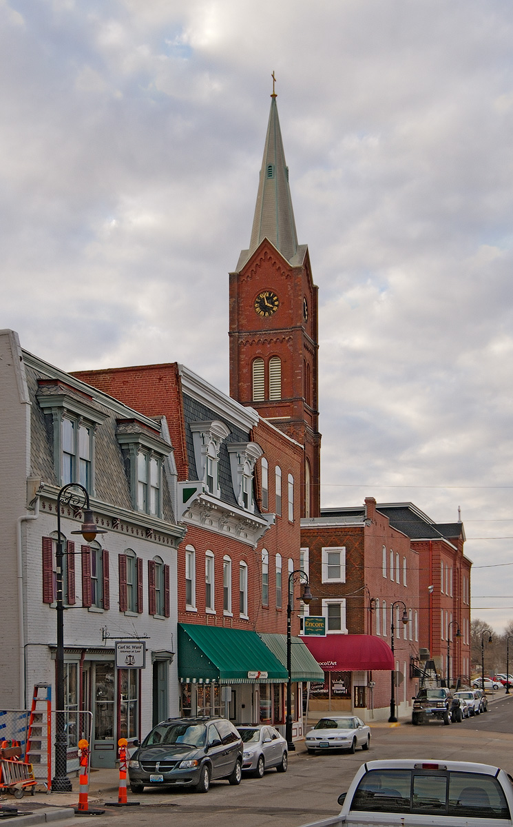
Downtown Washington, Missouri, USA - street view of Saint Francis Borgia Church tower
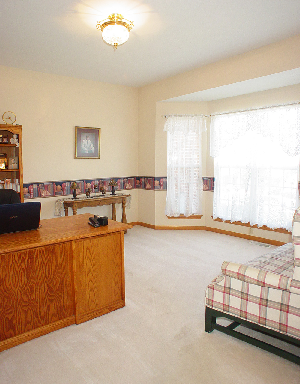
Sun Room
Saint John the Baptist Roman Catholic Church, in Villa Ridge (Gildehaus), Missouri, USA - view from parking lot
Living Room
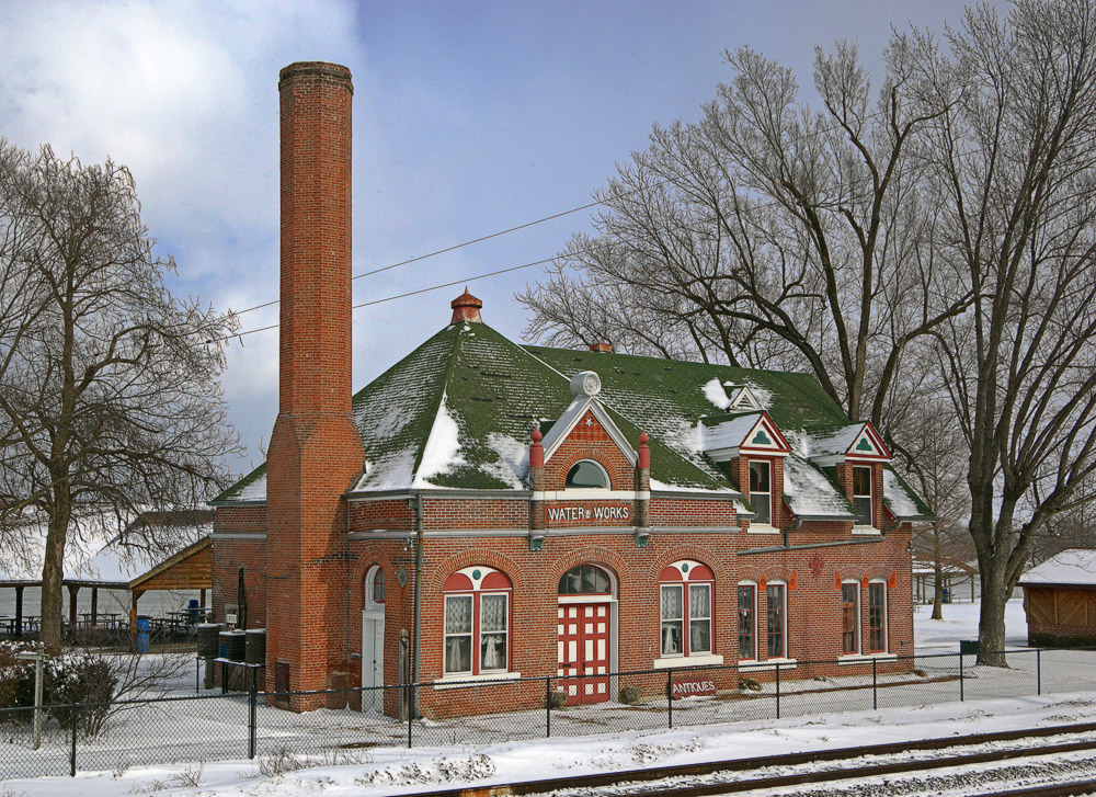
Old Water Works building, in Washington, Missouri, USA - exterior view in snow
Living Room
Saint Vincent de Paul Roman Catholic Church, in Dutzow, Missouri, USA - view from distance.jpg
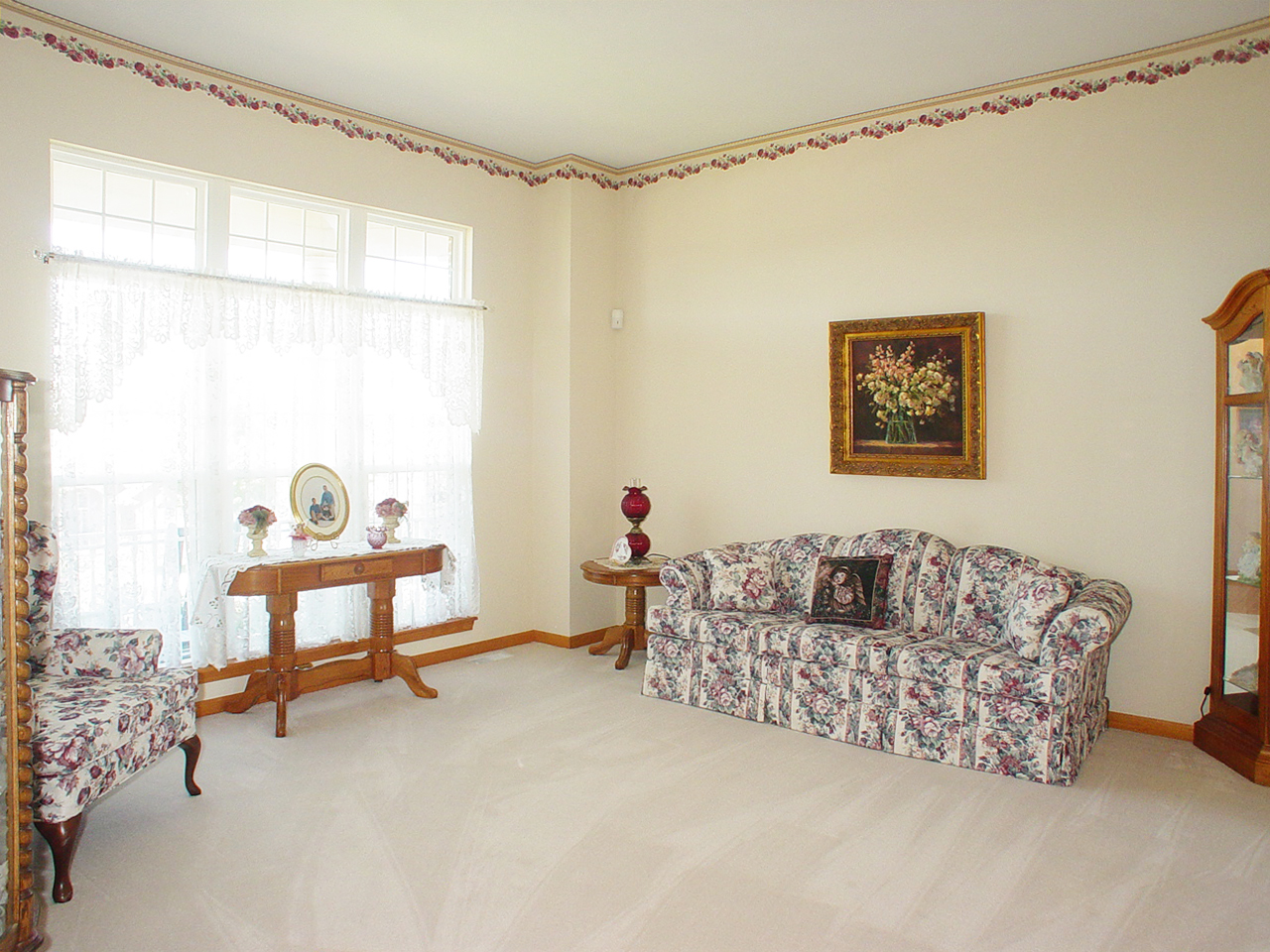
Living Room
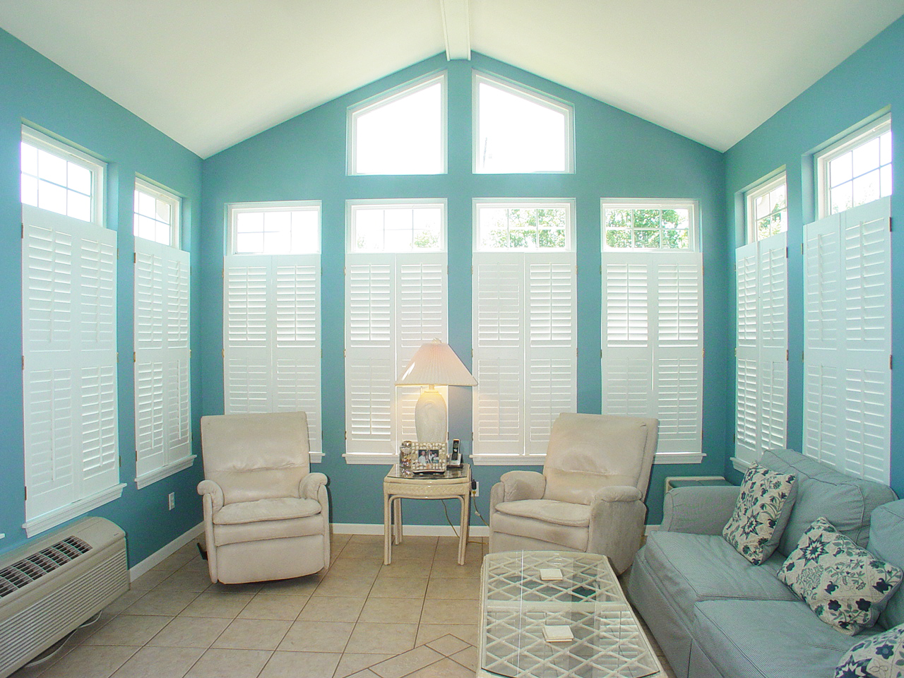
Sun Room
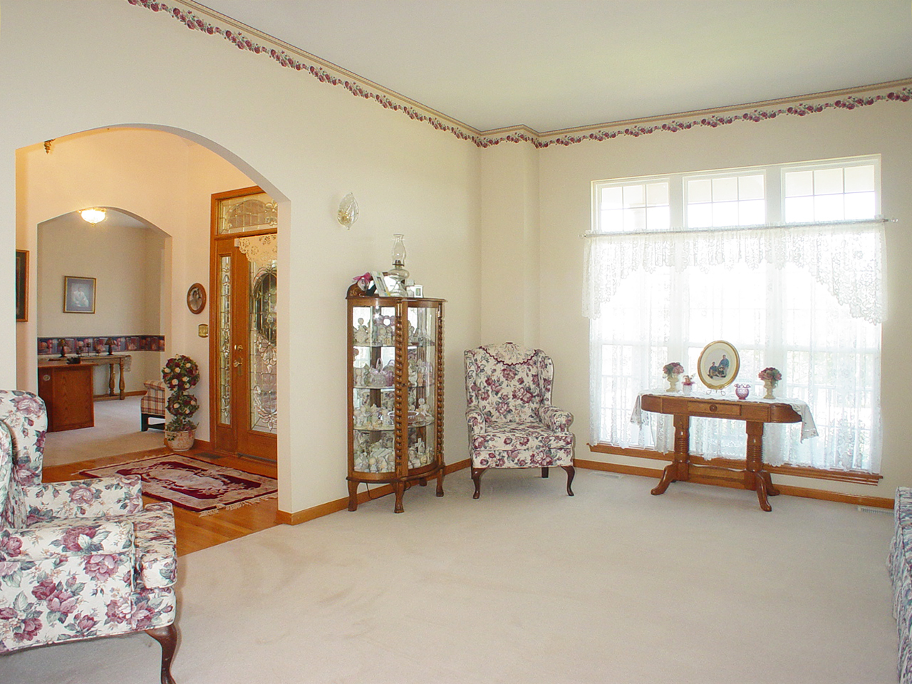
Living Room
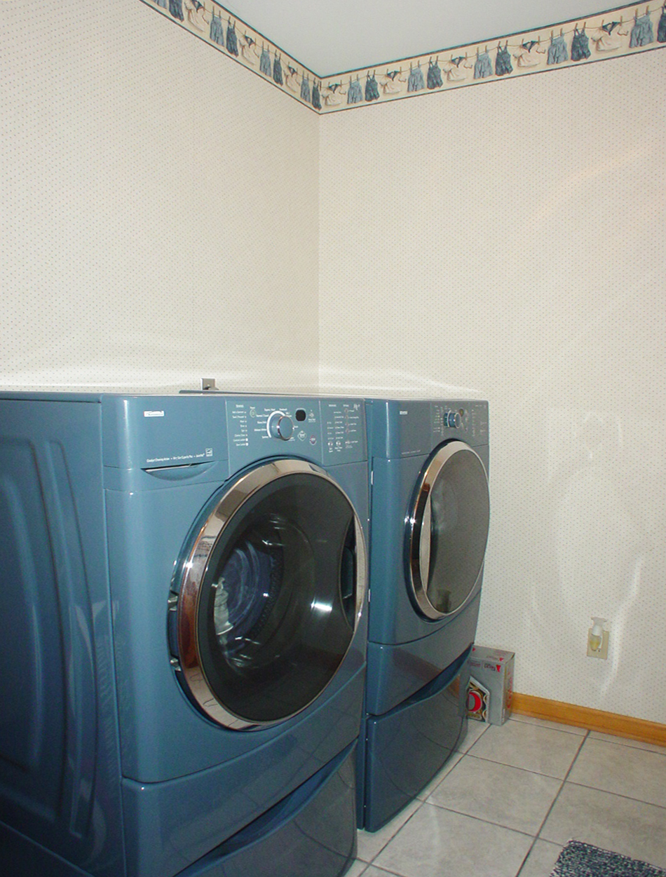
Laundry Room

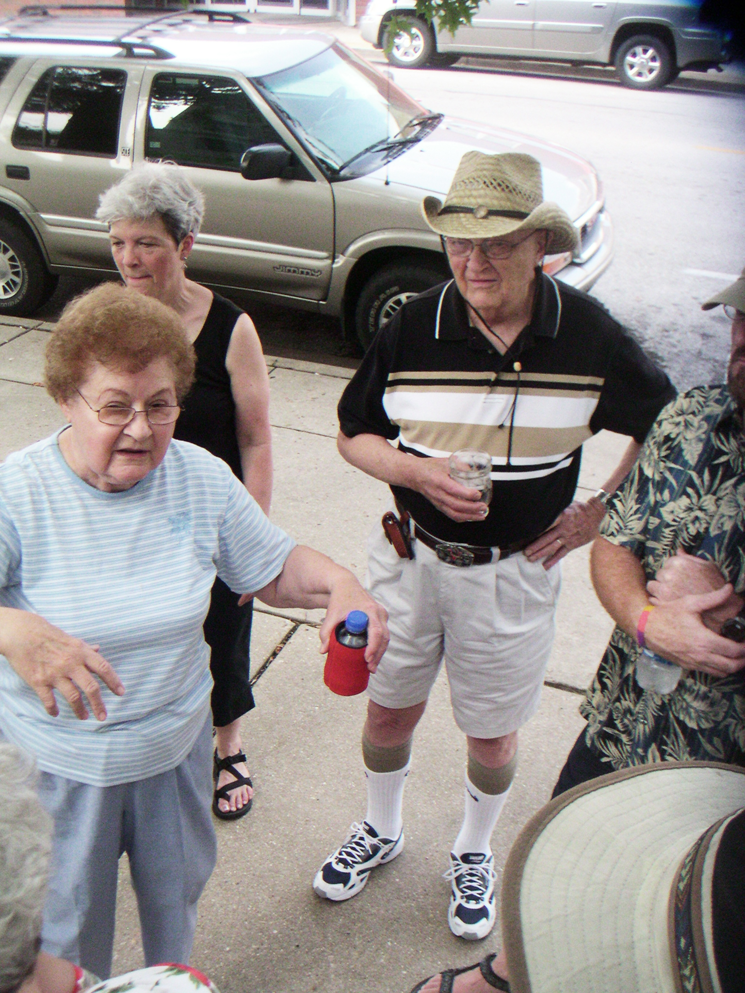
hungry? thirsty?
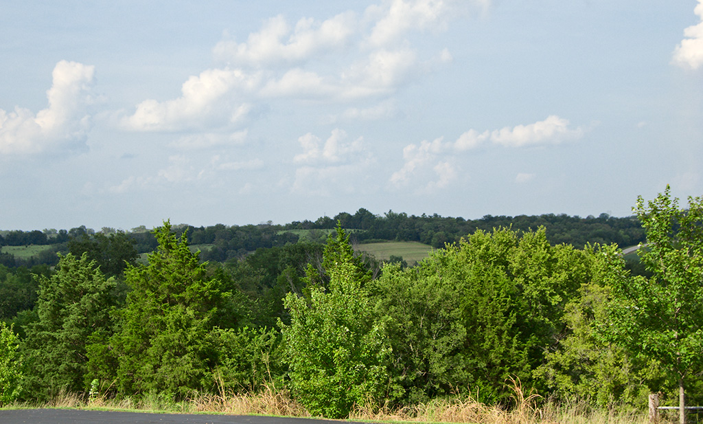
the view from above
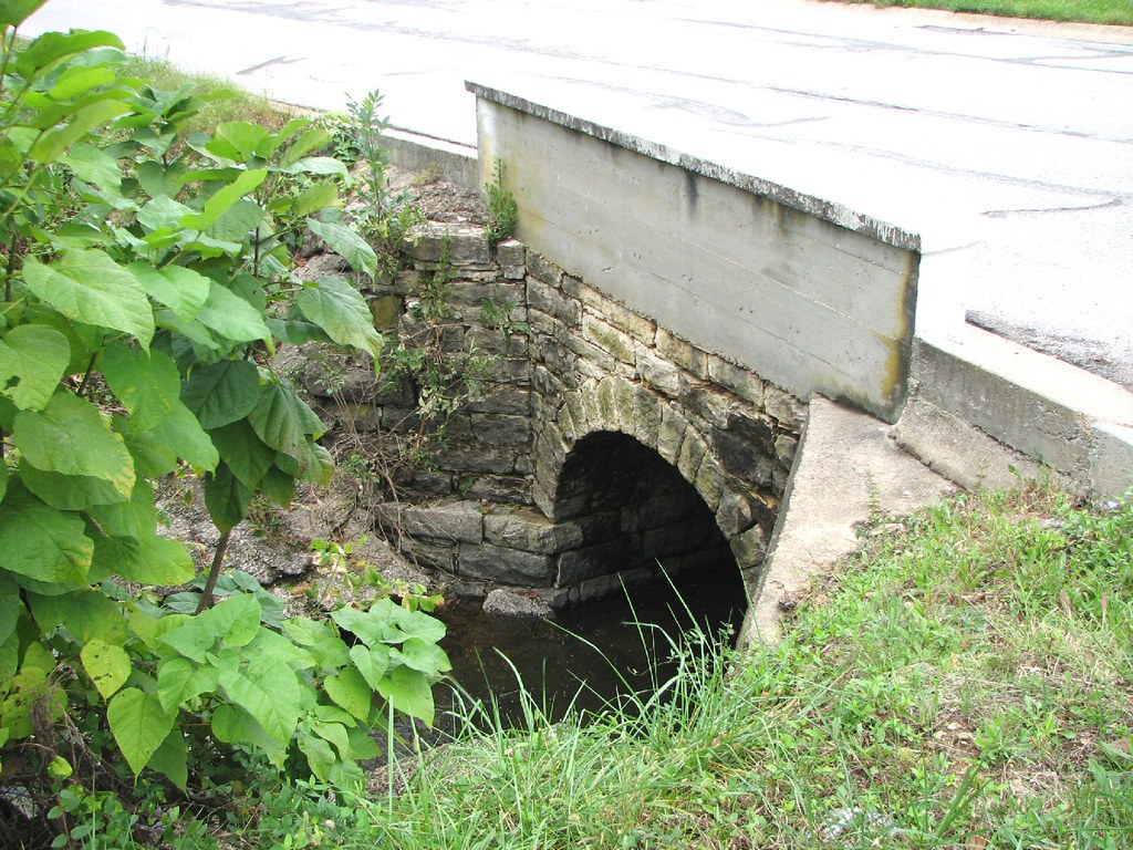
Close-up Stone Culvert-Union, MO
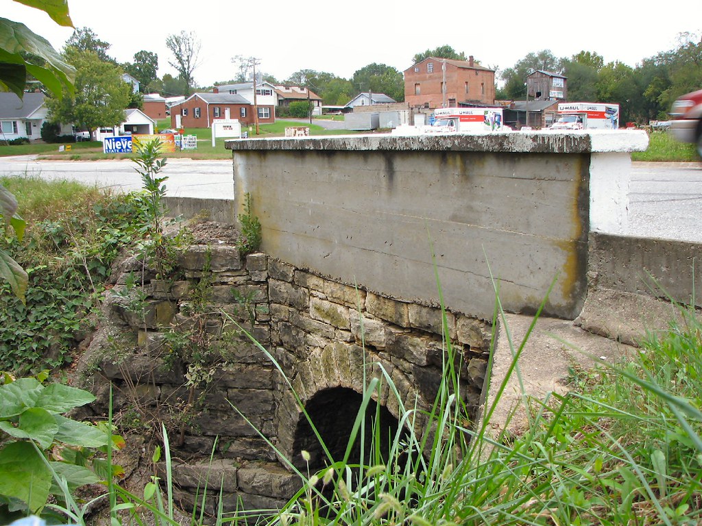
Side View Stone Culvert-Union, MO
Out of control #winewedding

Some storms that were to the south of me.
Some storms that were to the south of me.
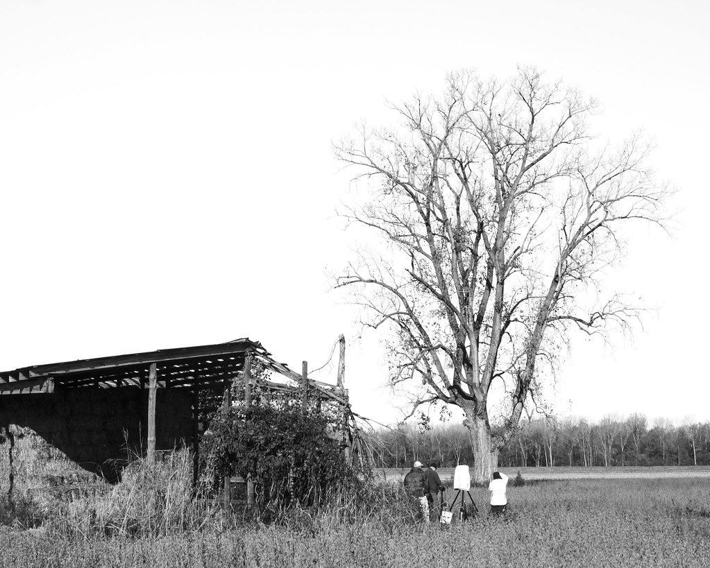
Shooting the Tree
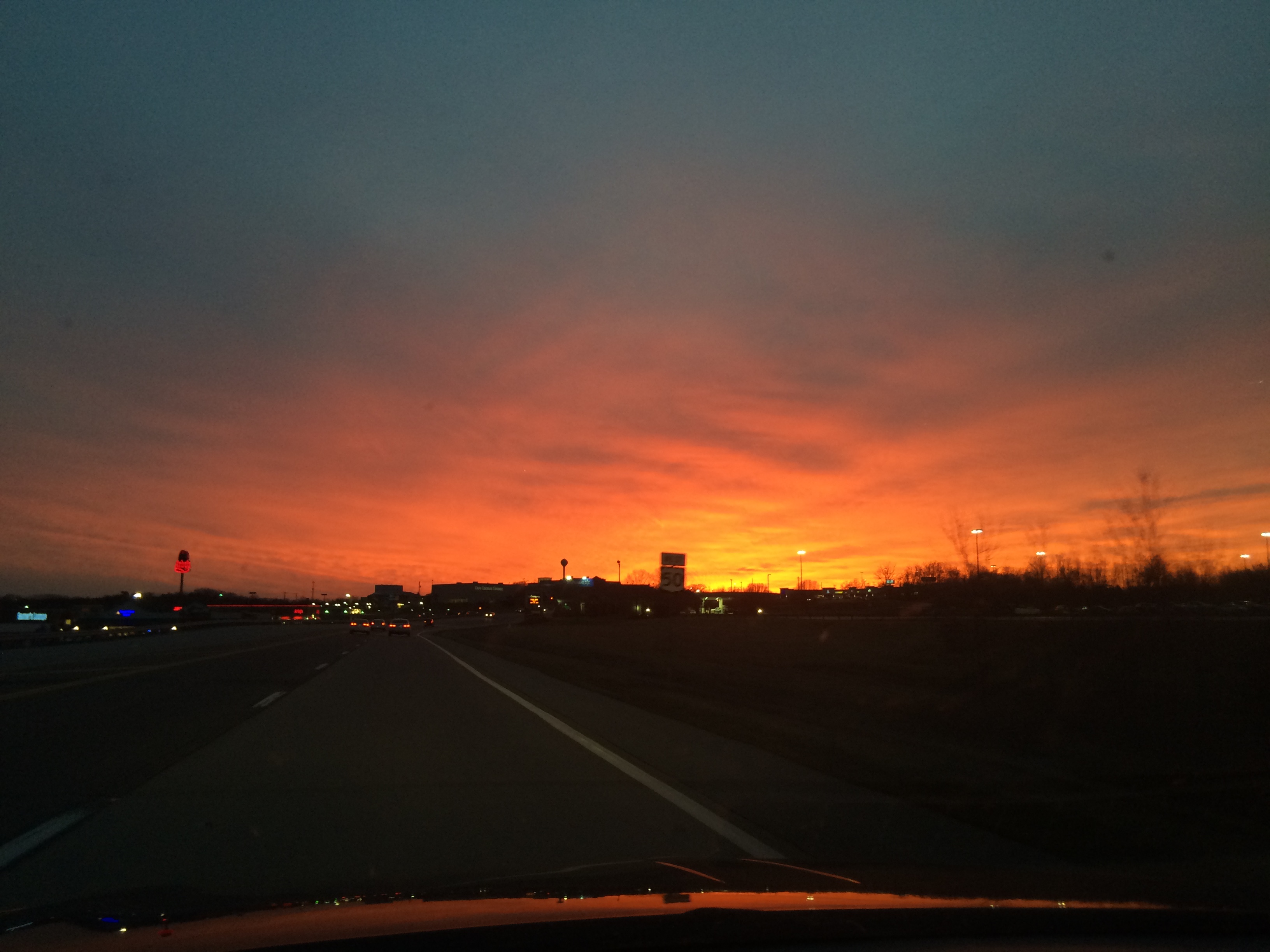
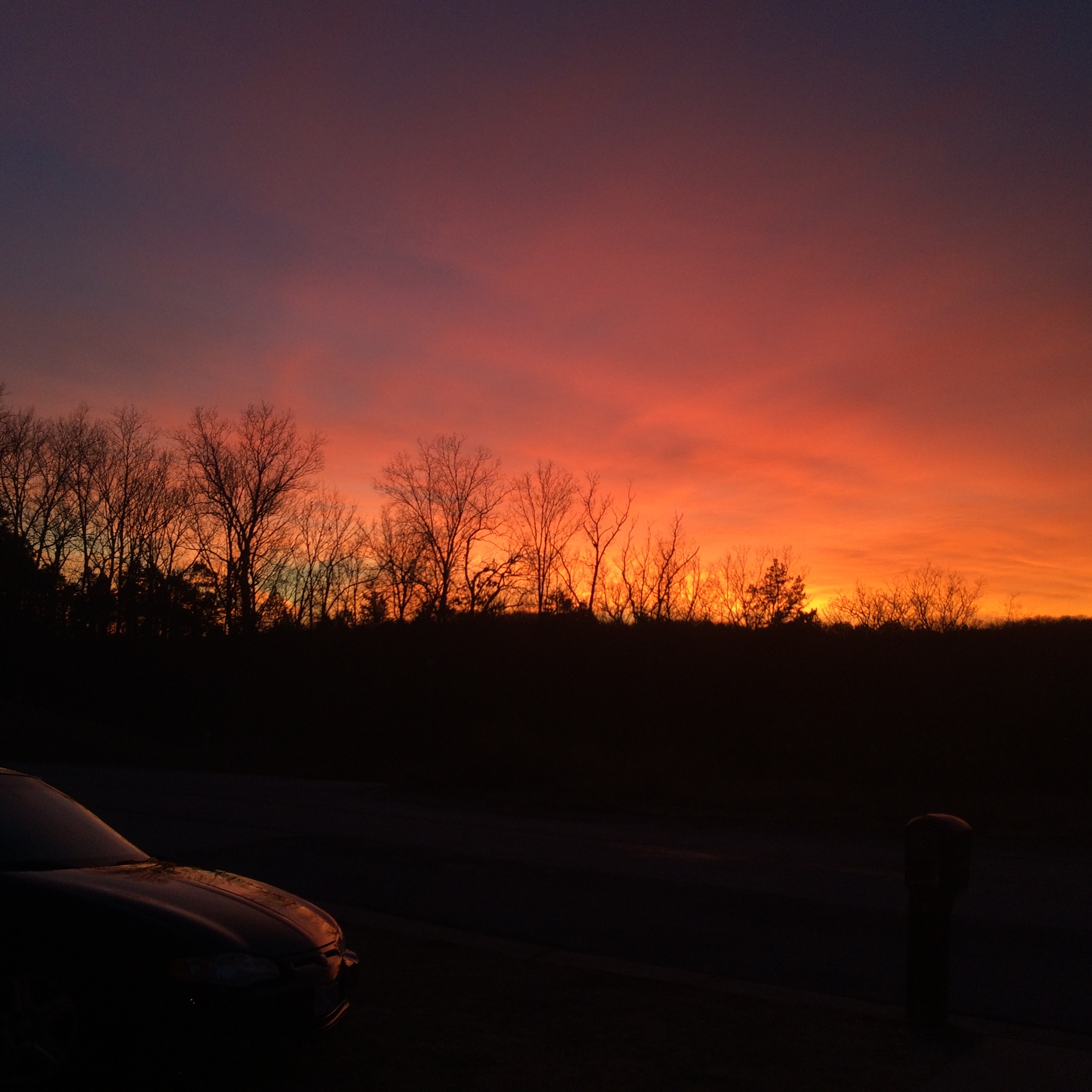
Sunset over Union MO tonight
Phil Holden Studio
????????????
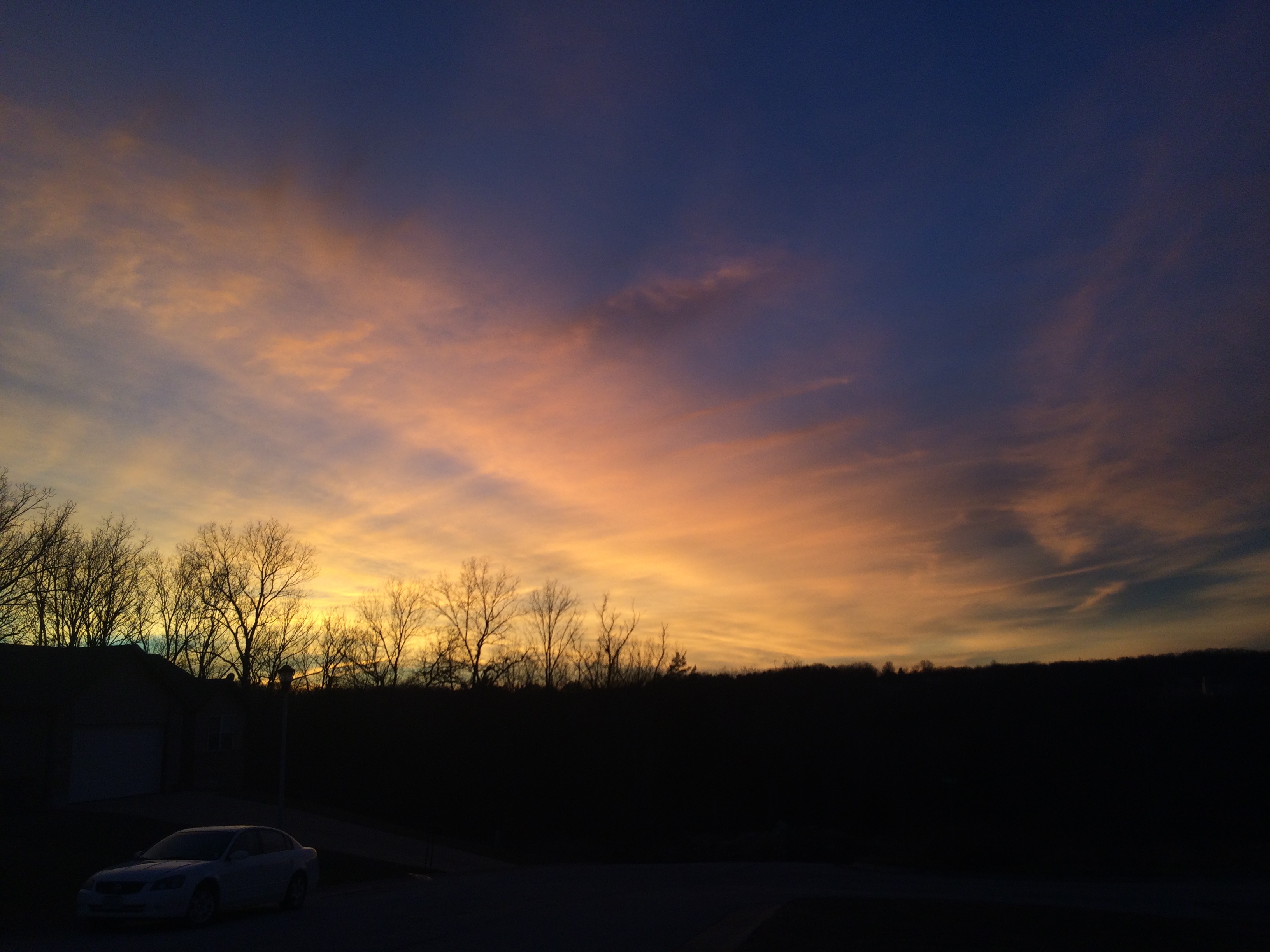
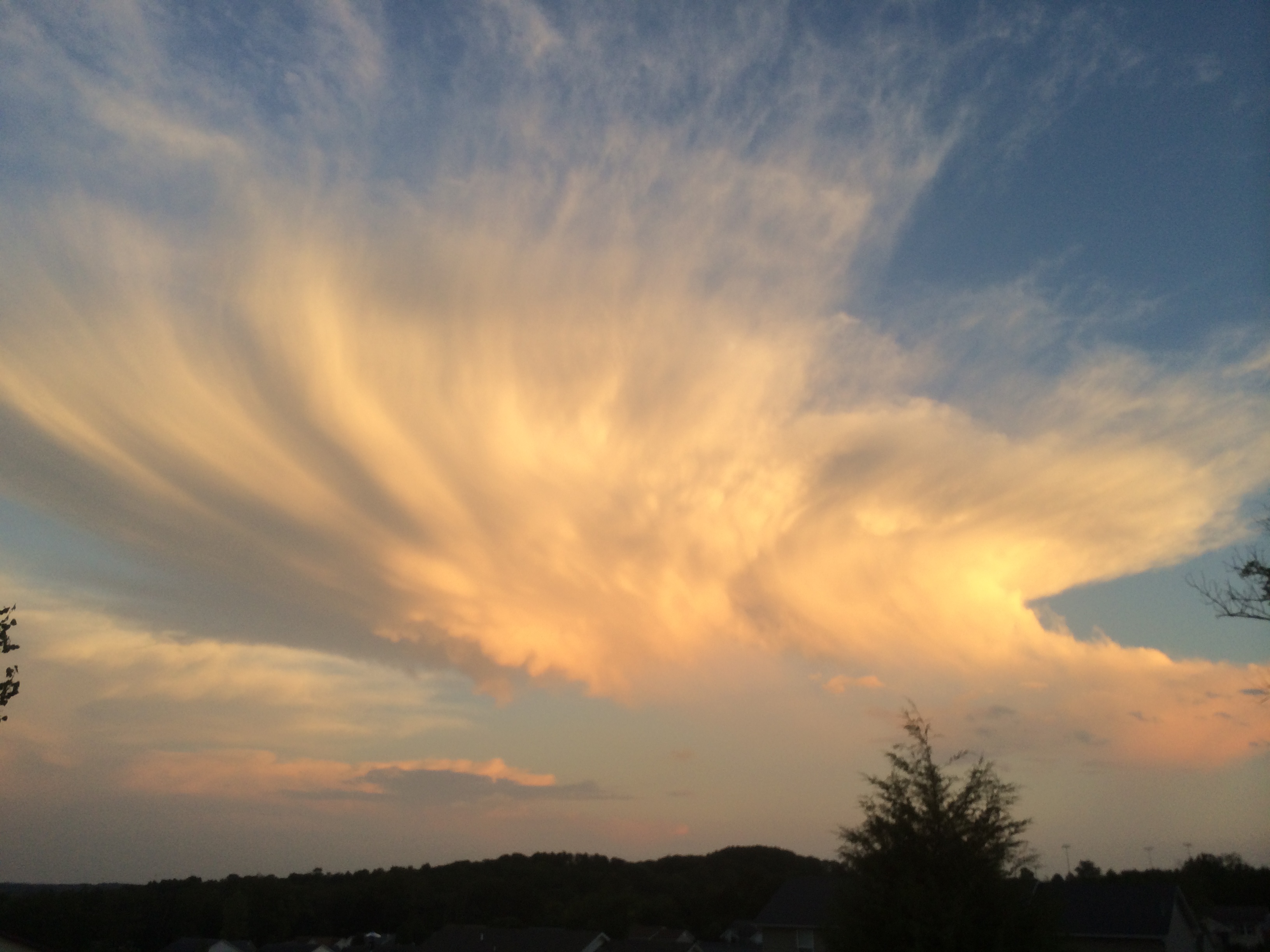
Fire in the sky
Day 125
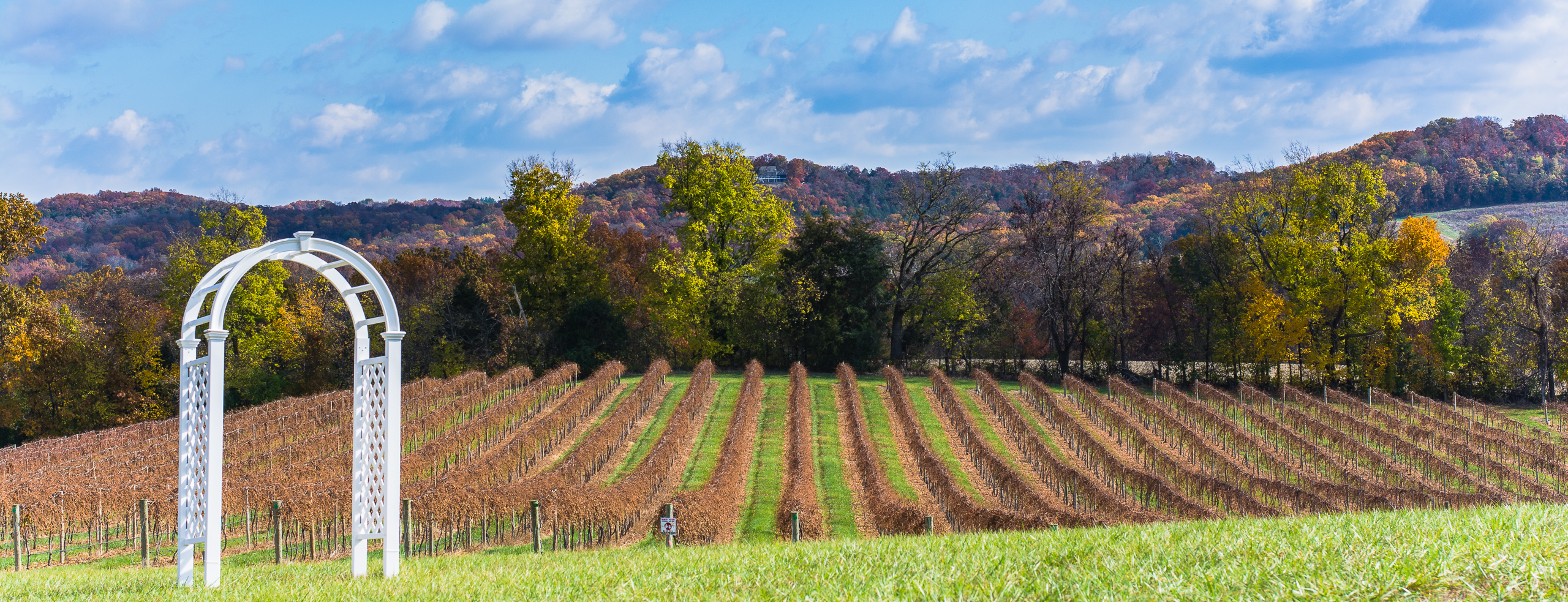
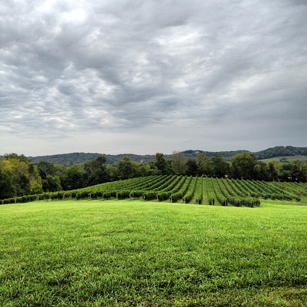
Grapes of Autumn
Fire in the sky
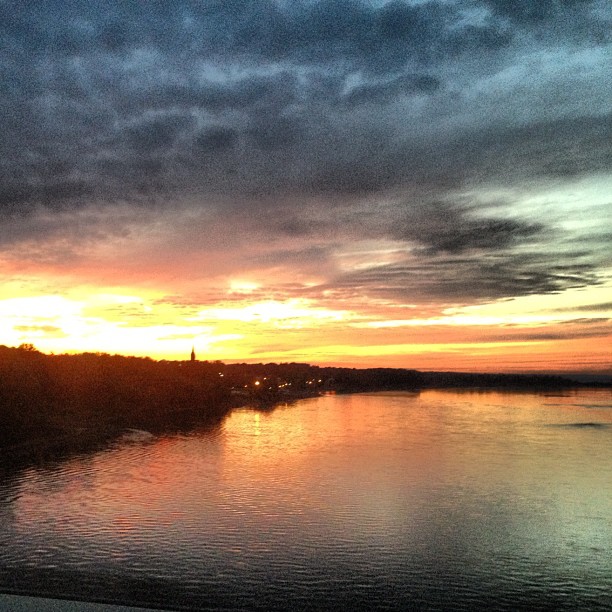
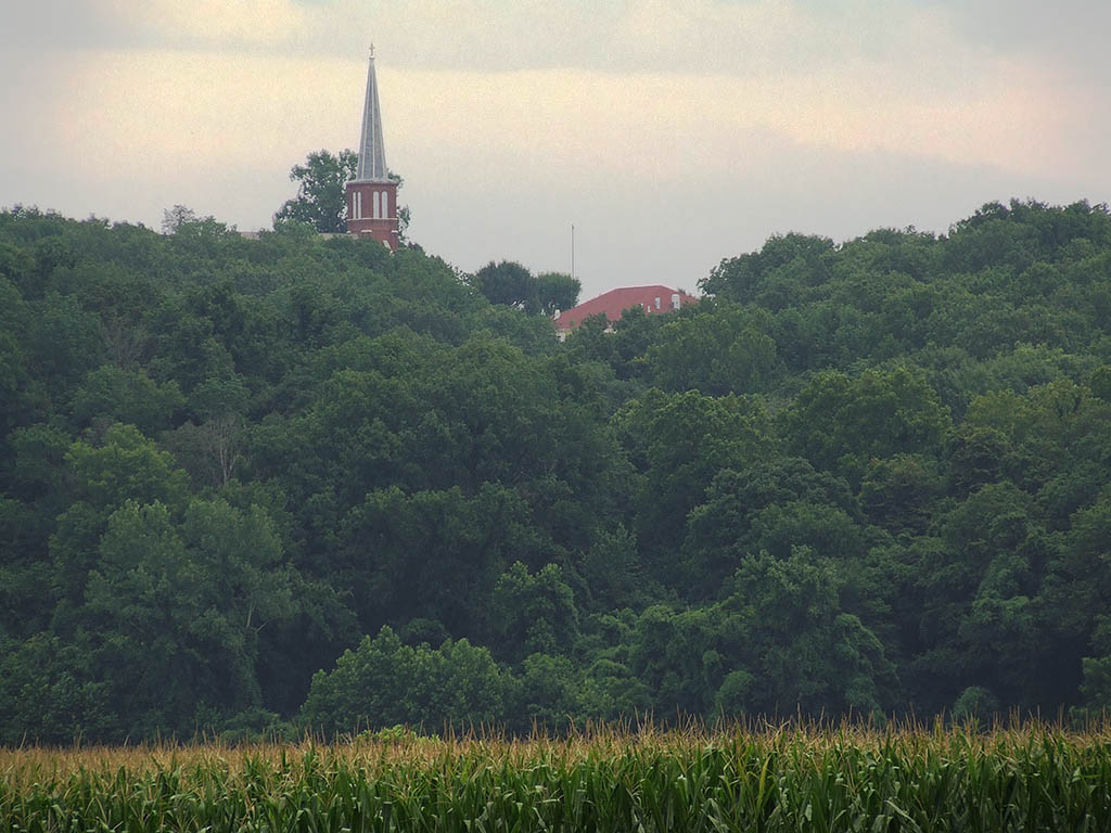
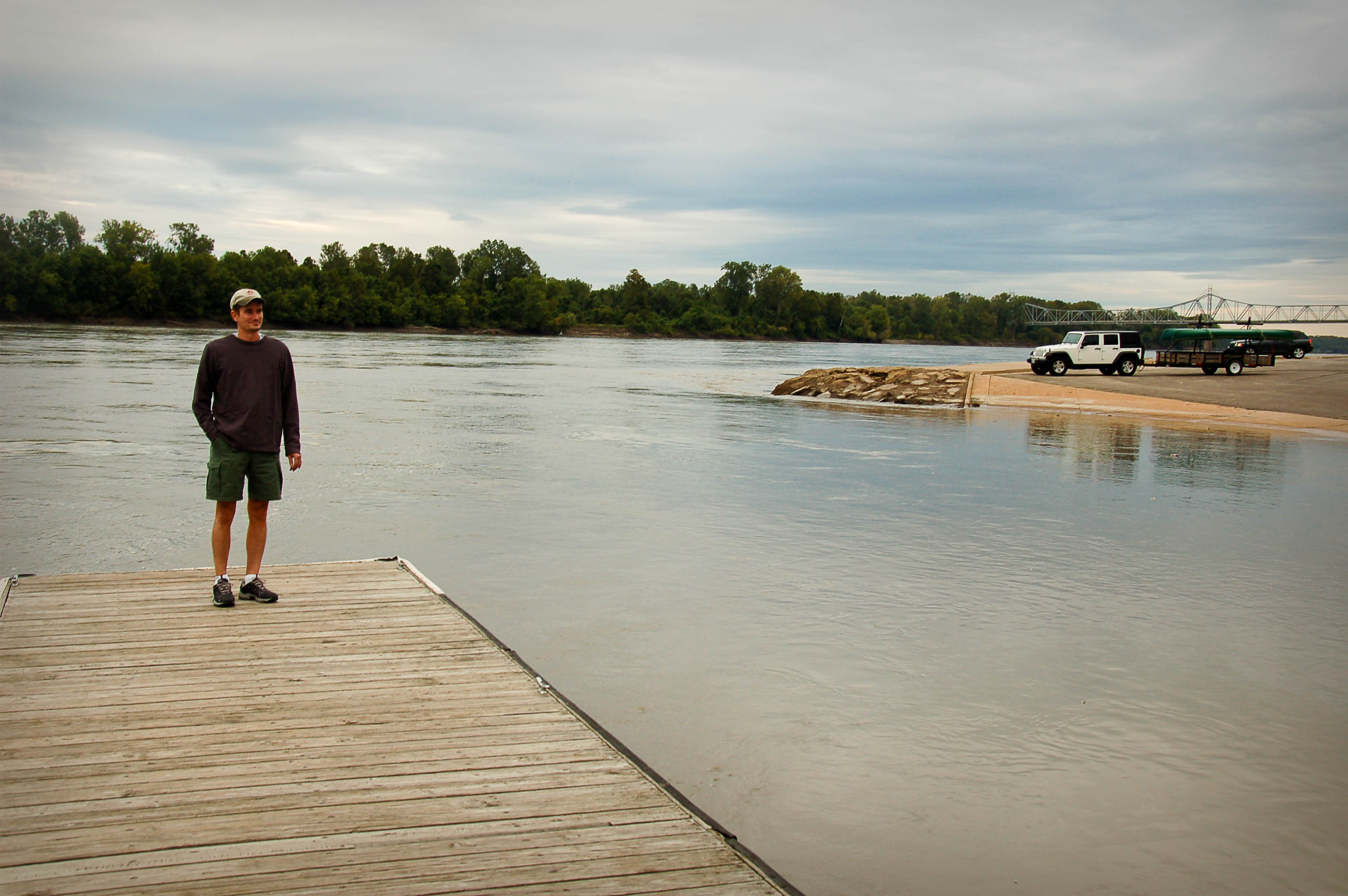
The mighty MO as we cross into Washington, MO. That steeple is the church pam and I got married in!
Robertsville State Park
My favorite pic of the trip
Robertsville State Park
And it's ontime!
Robertsville State Park
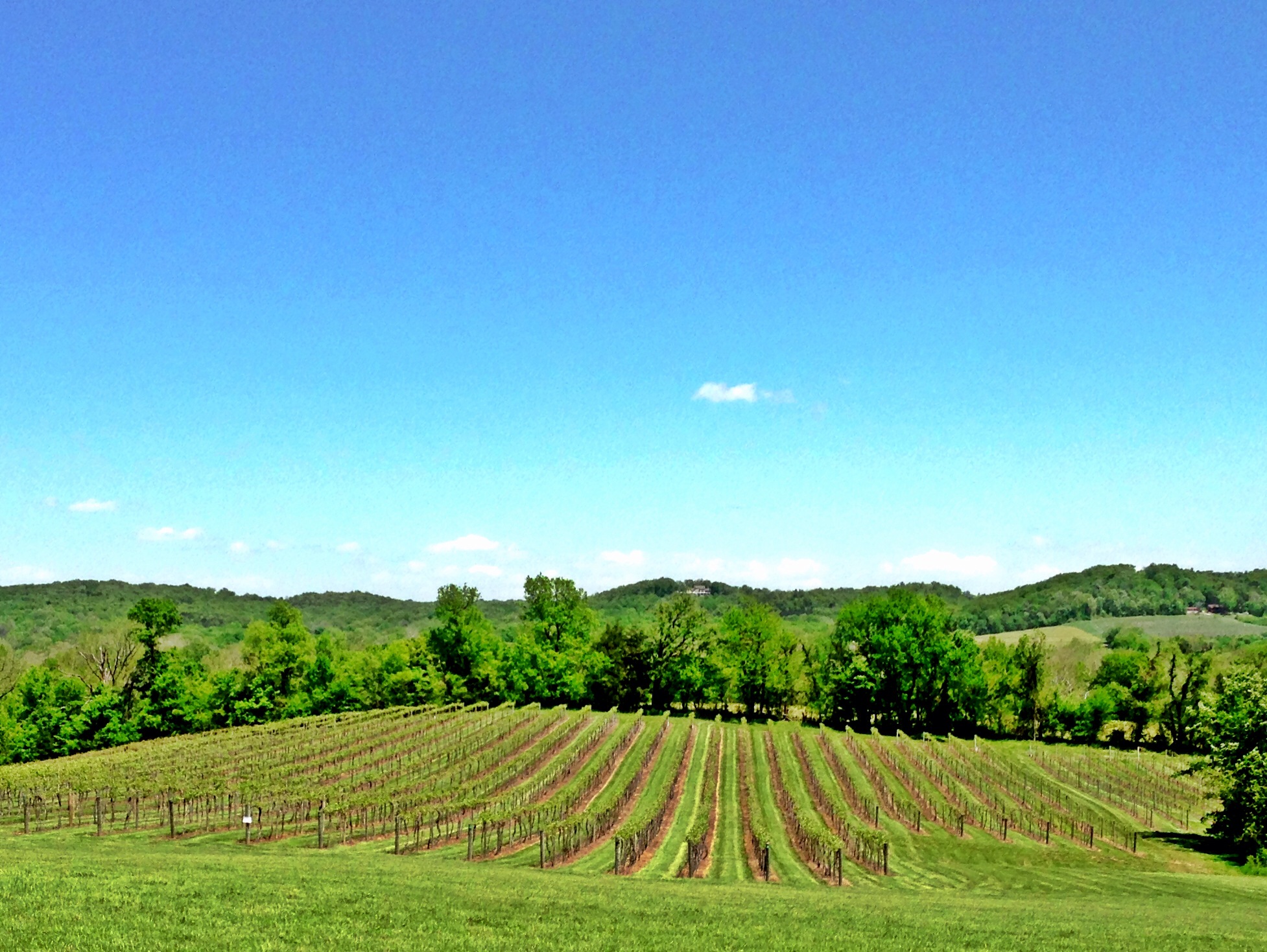
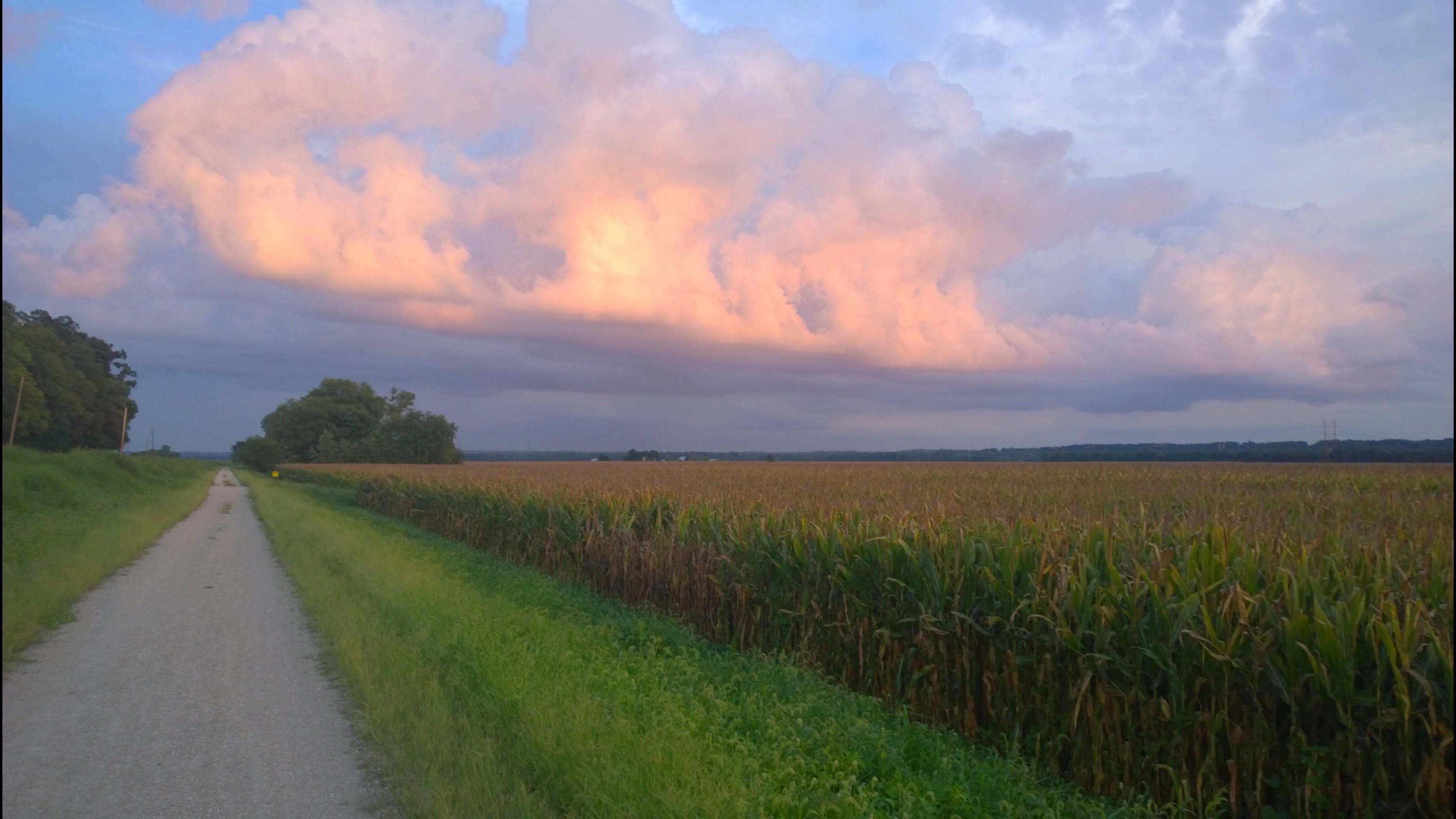
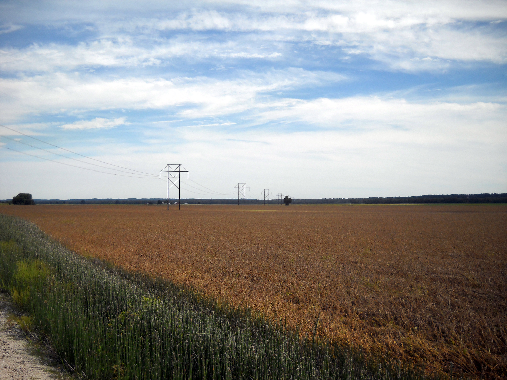
fields of gold
Family reunion: Sunset
The man with the plan...and the equipment
Katy Trail
Topographic Map of Rainbow Ridge, Washington, MO, USA
Find elevation by address:

Places near Rainbow Ridge, Washington, MO, USA:
2 Ruether Ct
305 Emily Ln
305 Emily Ln
305 Emily Ln
305 Emily Ln
St. Johns Township
311 Torrey Pines Cir
4783 N 4 Mile Rd
Schnucks #719
Washington Township
Washington
W Front St, Washington, MO, USA
1775 Bieker Rd
100 Hemsath Rd
Nahm Road
Augusta
Church Road
Church Road
Washington St, Labadie, MO, USA
Labadie
Recent Searches:
- Elevation of Corso Fratelli Cairoli, 35, Macerata MC, Italy
- Elevation of Tallevast Rd, Sarasota, FL, USA
- Elevation of 4th St E, Sonoma, CA, USA
- Elevation of Black Hollow Rd, Pennsdale, PA, USA
- Elevation of Oakland Ave, Williamsport, PA, USA
- Elevation of Pedrógão Grande, Portugal
- Elevation of Klee Dr, Martinsburg, WV, USA
- Elevation of Via Roma, Pieranica CR, Italy
- Elevation of Tavkvetili Mountain, Georgia
- Elevation of Hartfords Bluff Cir, Mt Pleasant, SC, USA