Elevation of Union Township, MO, USA
Location: United States > Missouri > Franklin County >
Longitude: -91.077772
Latitude: 38.4169493
Elevation: 237m / 778feet
Barometric Pressure: 99KPa
Elevation Map:
Satellite Map:
Related Photos:
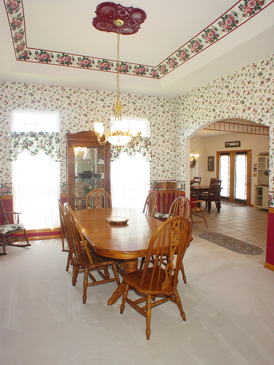
Dining Room
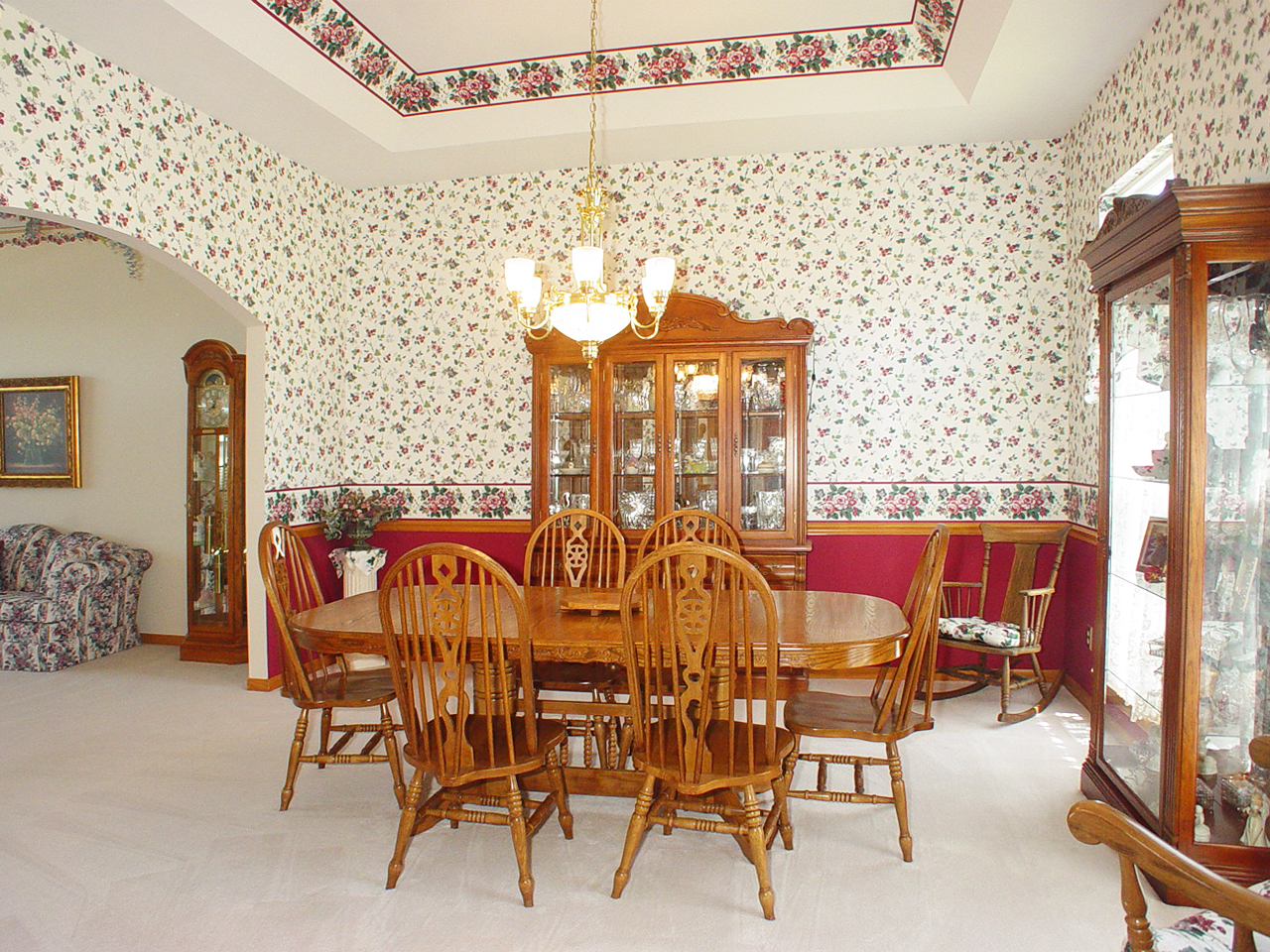
Dining Room
Fern Rock Yard
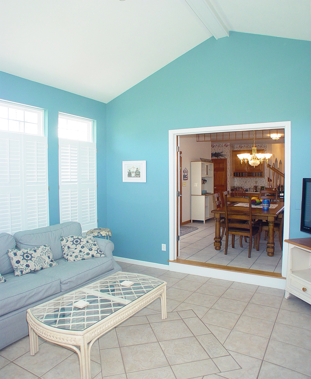
Sun Room
Saint John the Baptist Roman Catholic Church, in Villa Ridge (Gildehaus), Missouri, USA - view from parking lot
Living Room
Living Room
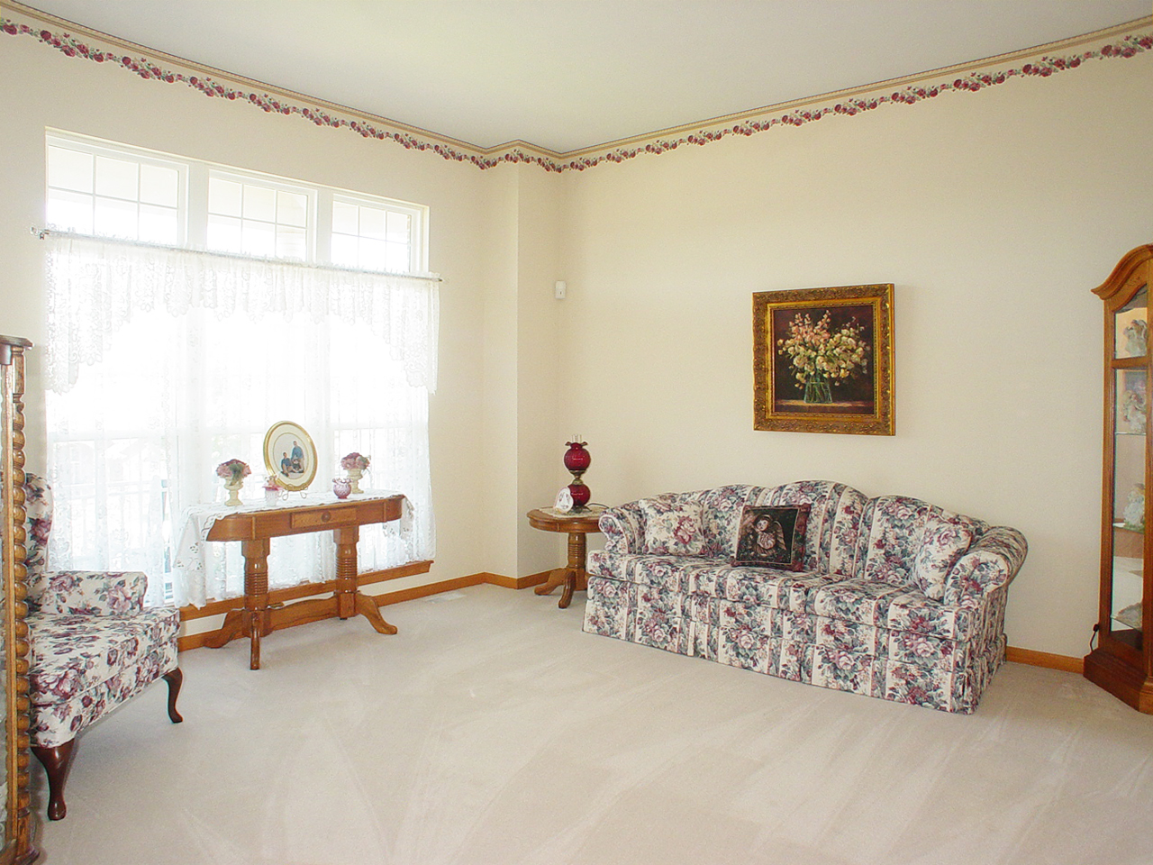
Living Room
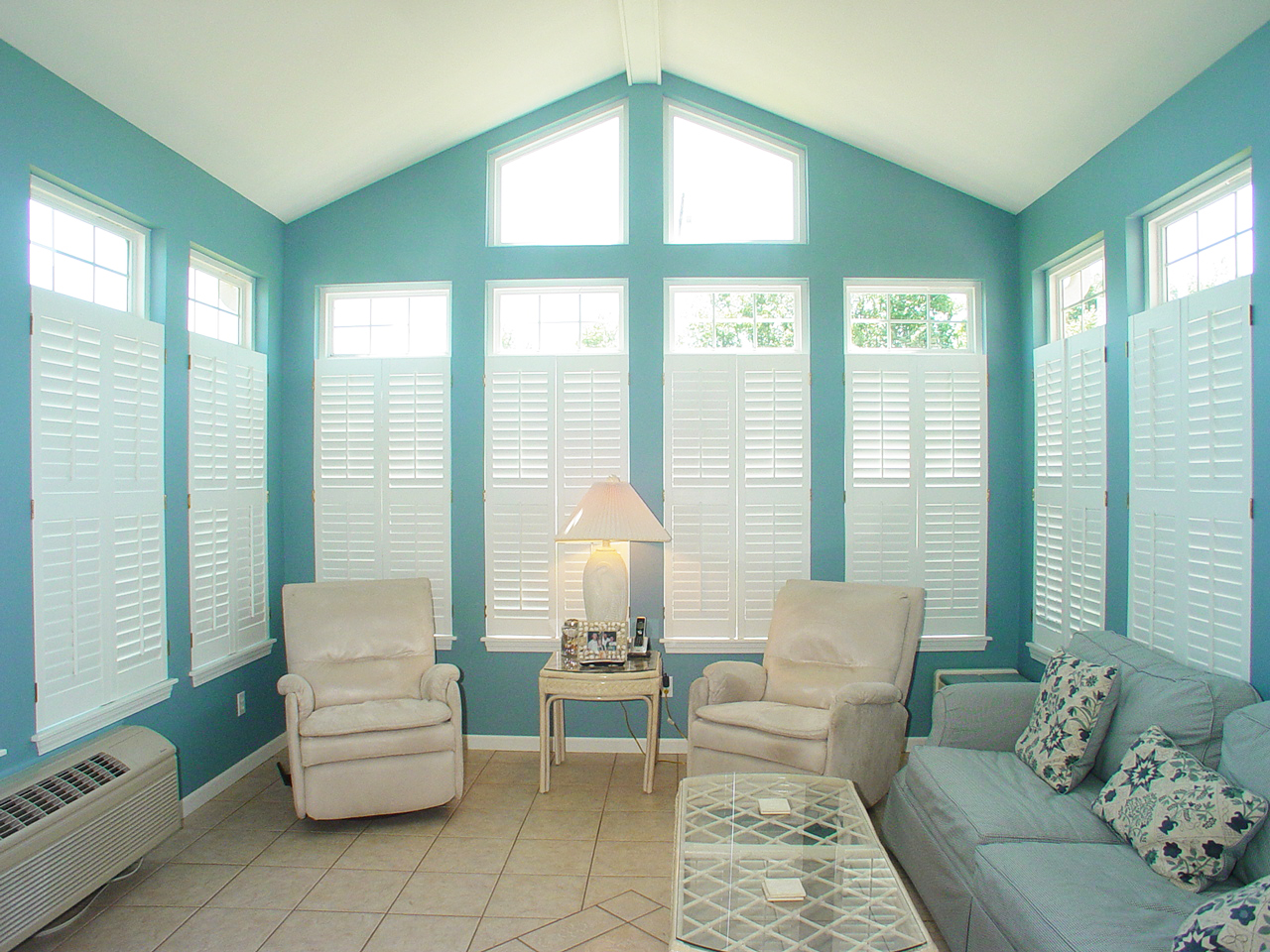
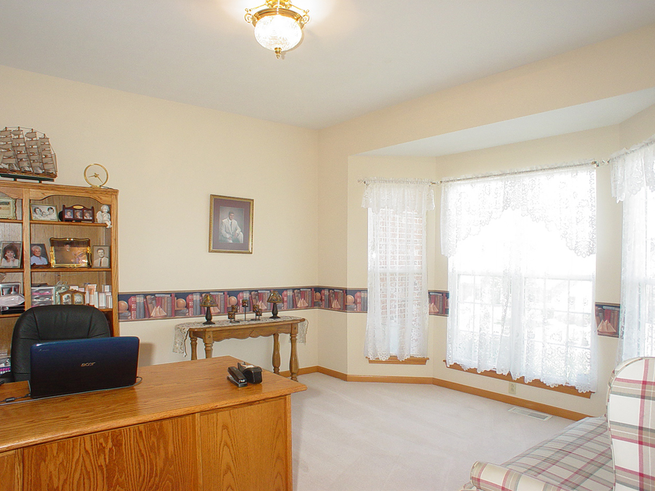
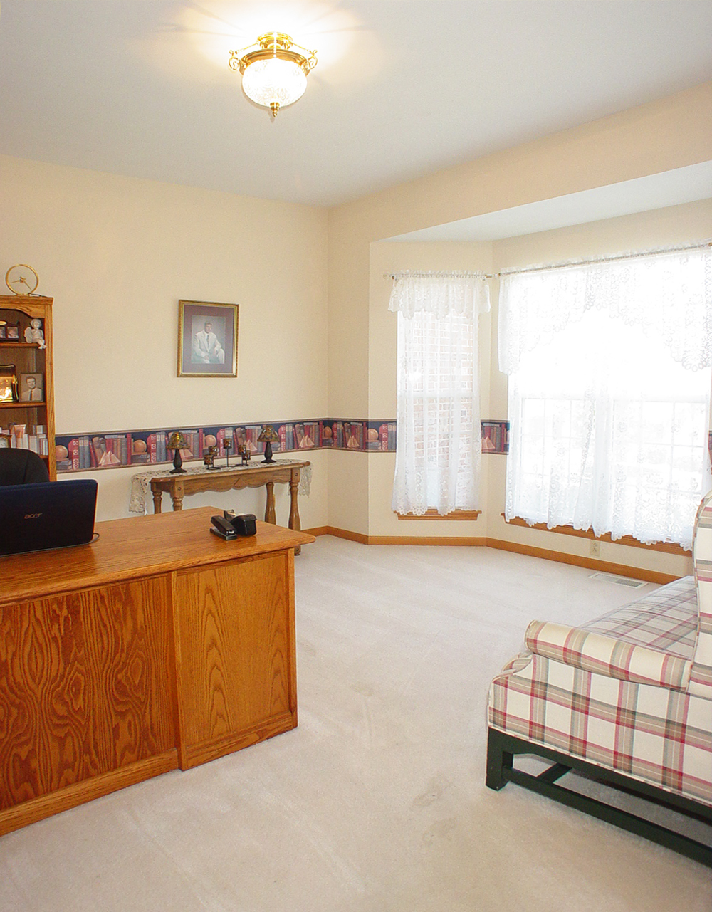
Sun Room
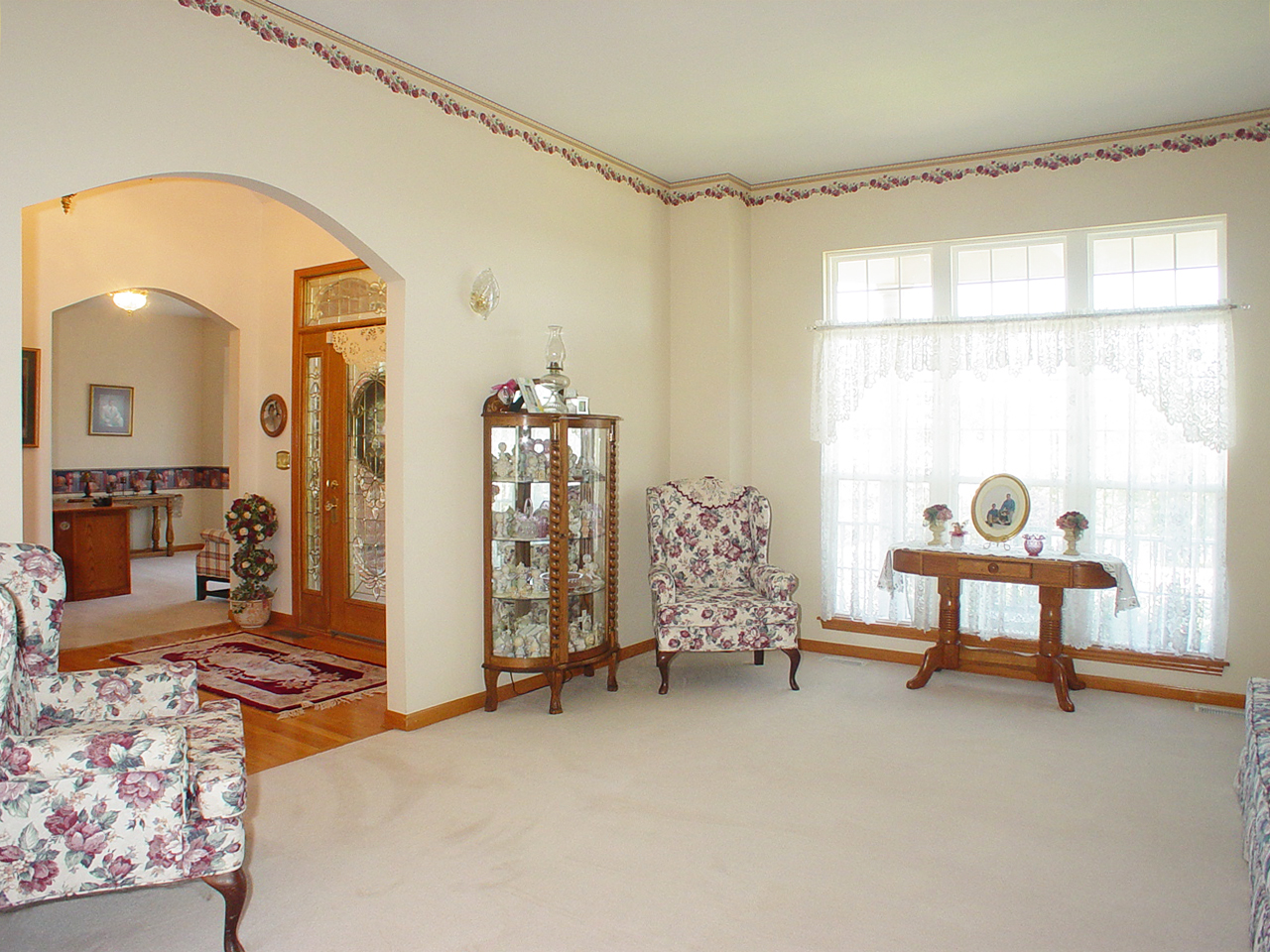
Living Room
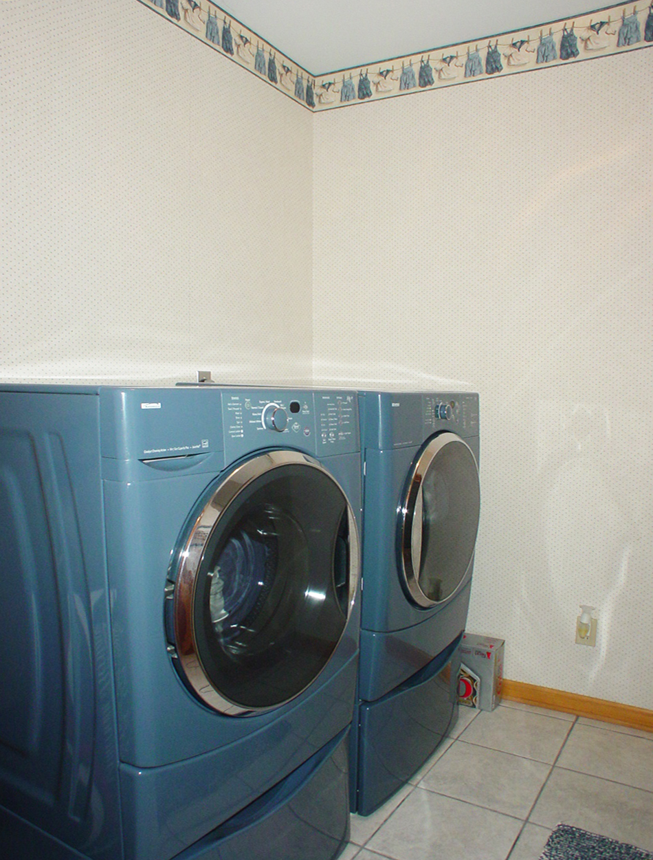
Laundry Room

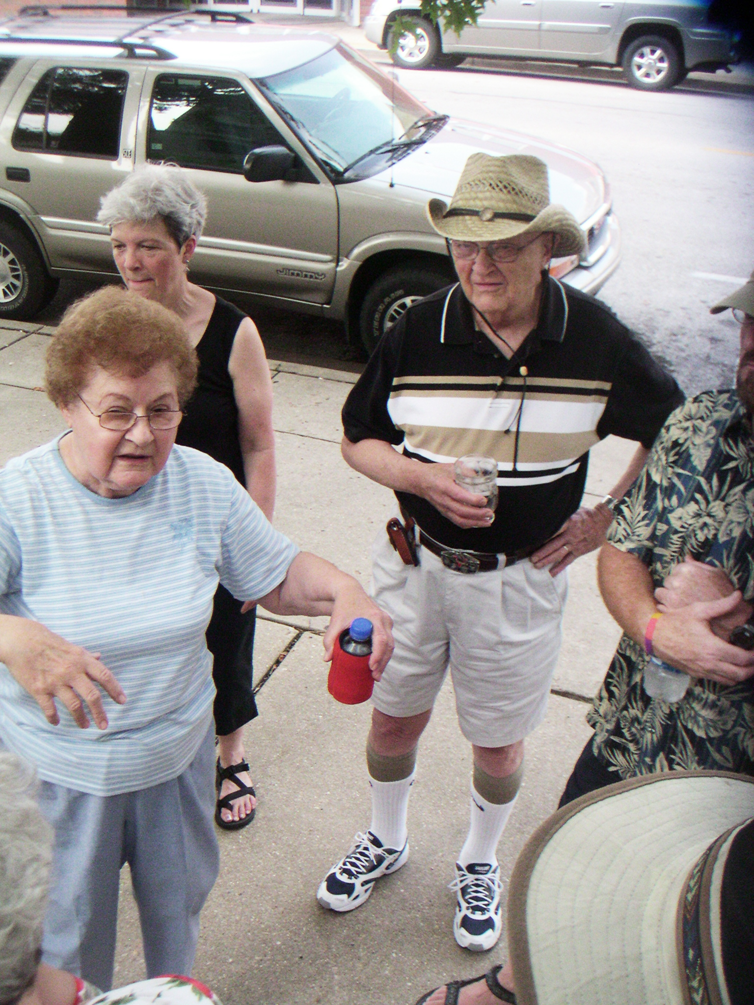
hungry? thirsty?
the view from above
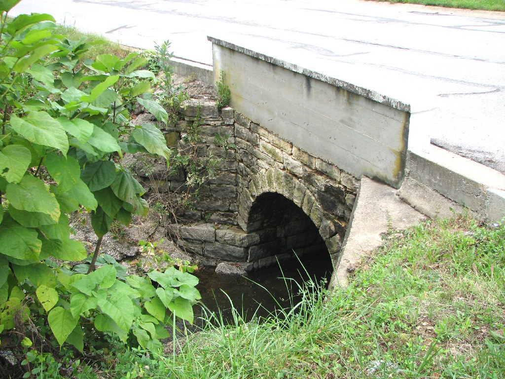
Close-up Stone Culvert-Union, MO
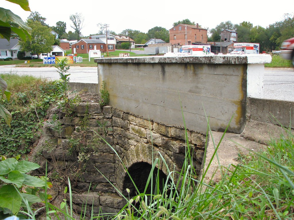
Side View Stone Culvert-Union, MO
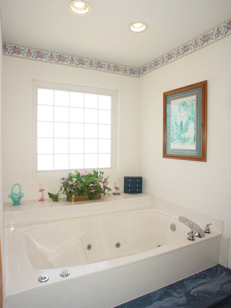
Master Bath
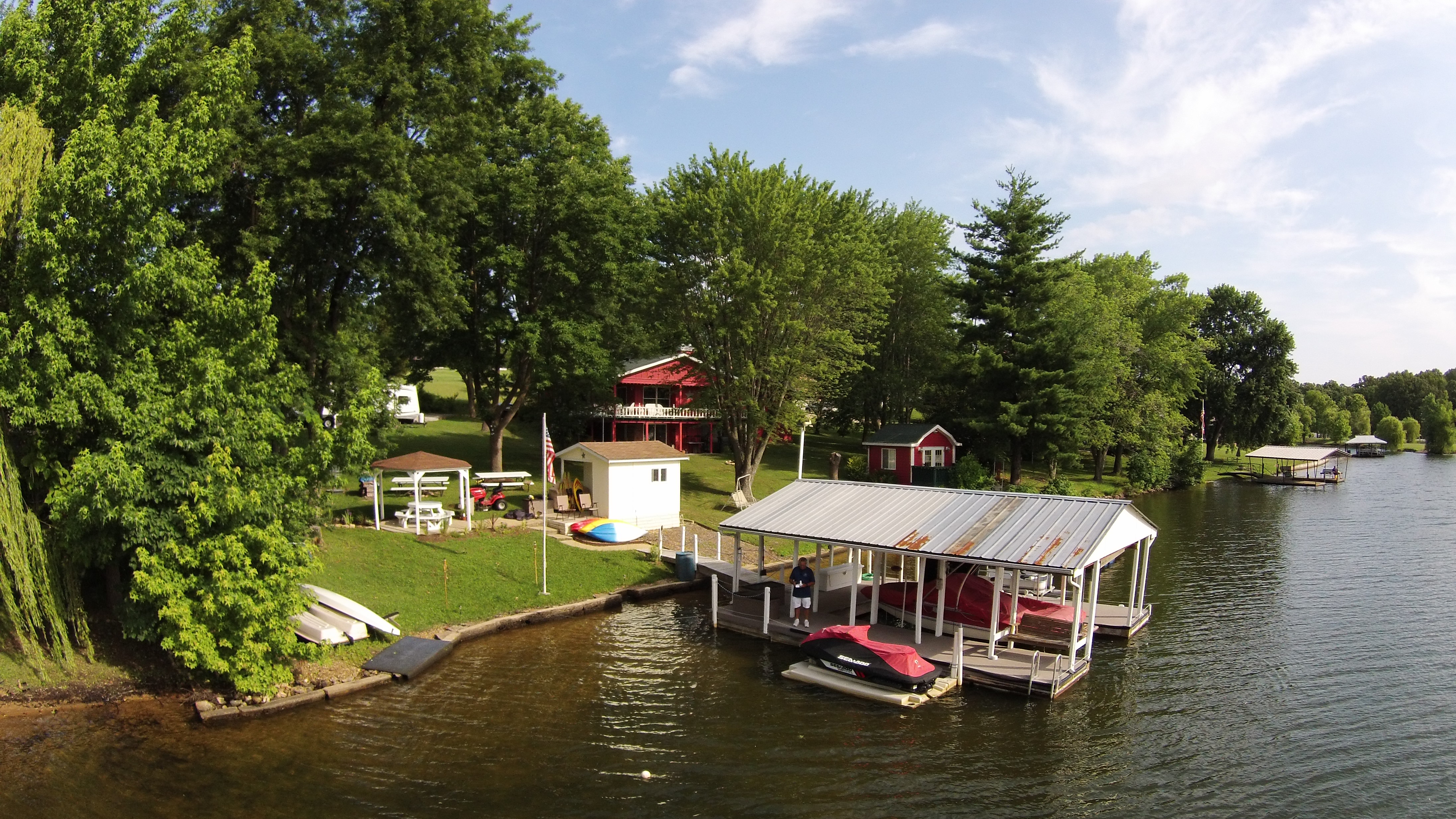
Lake St Clair
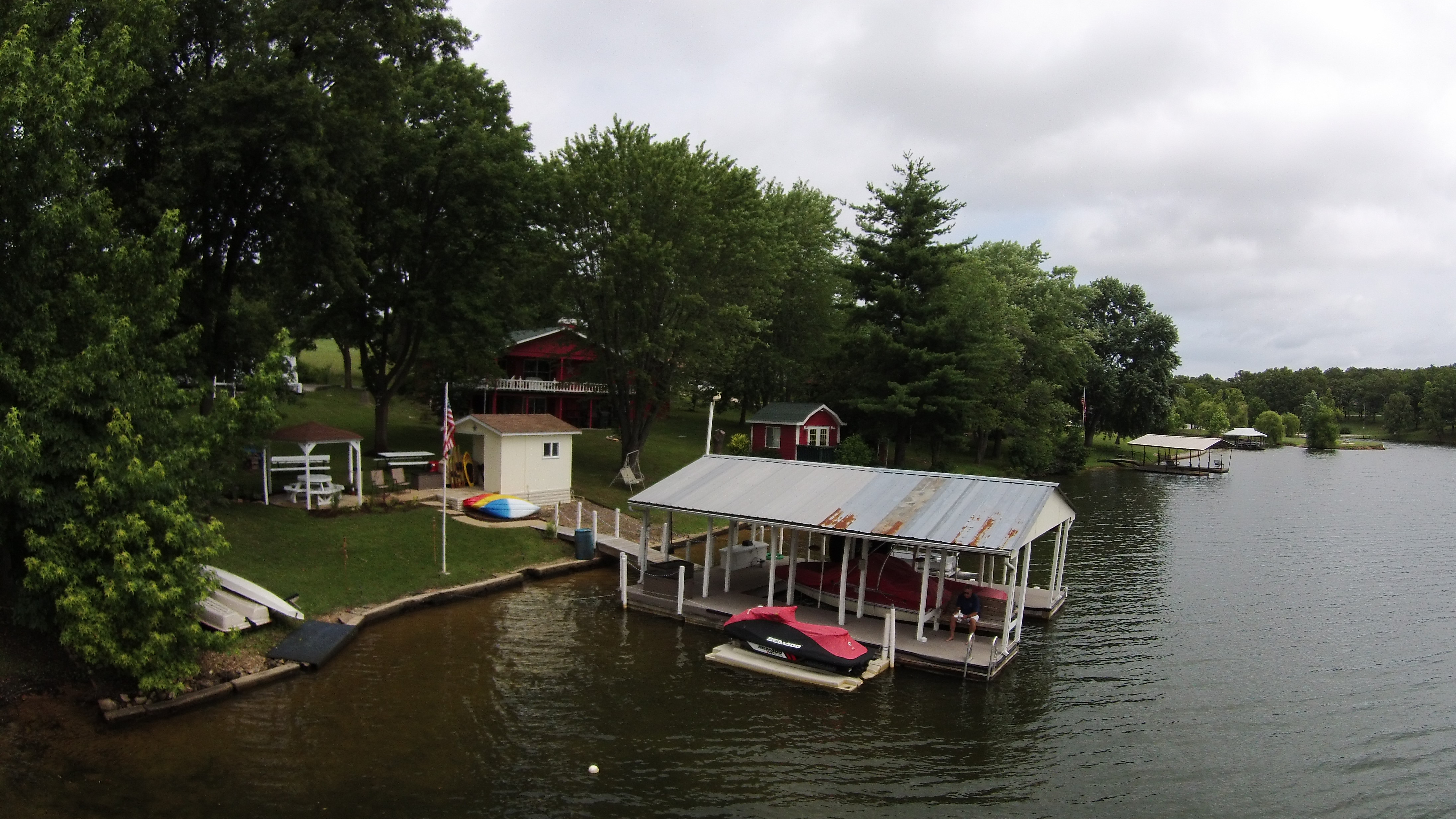
Lake St Clair
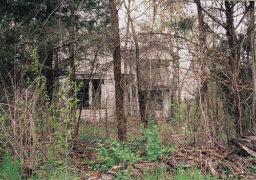
ye Olde House on the Hill
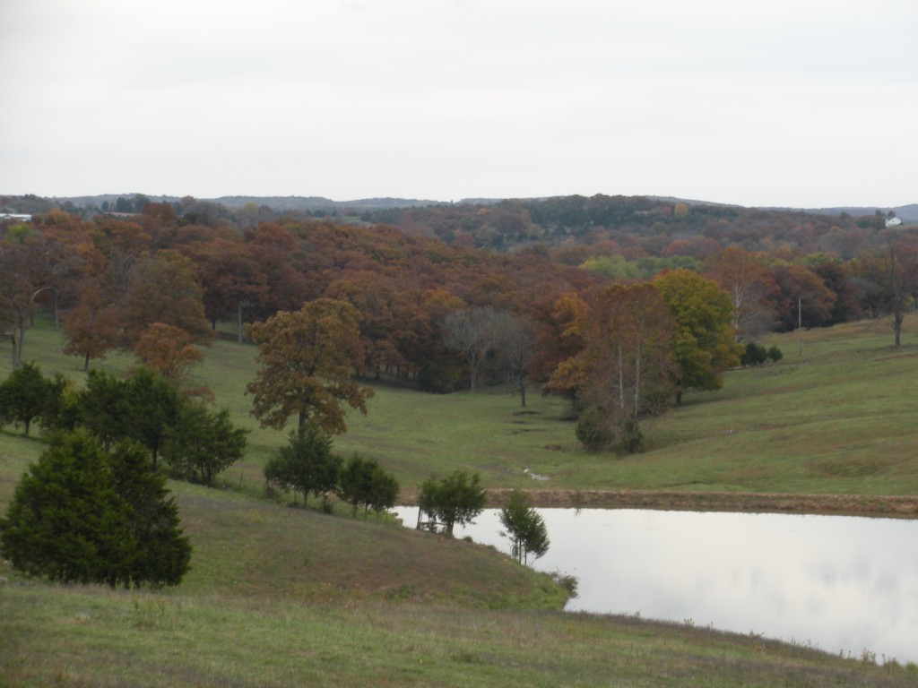
Robertsville State Park
Robertsville State Park
Robertsville State Park

Day 2 Leg 5 St Louis MO 1018

10-06-05 Day 08 - Route 66
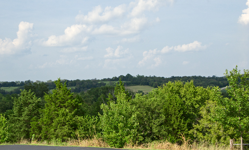
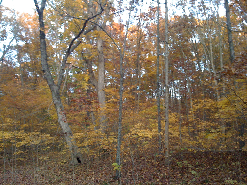
Rolling hills in MO

near I- 44 & Old Hwy D

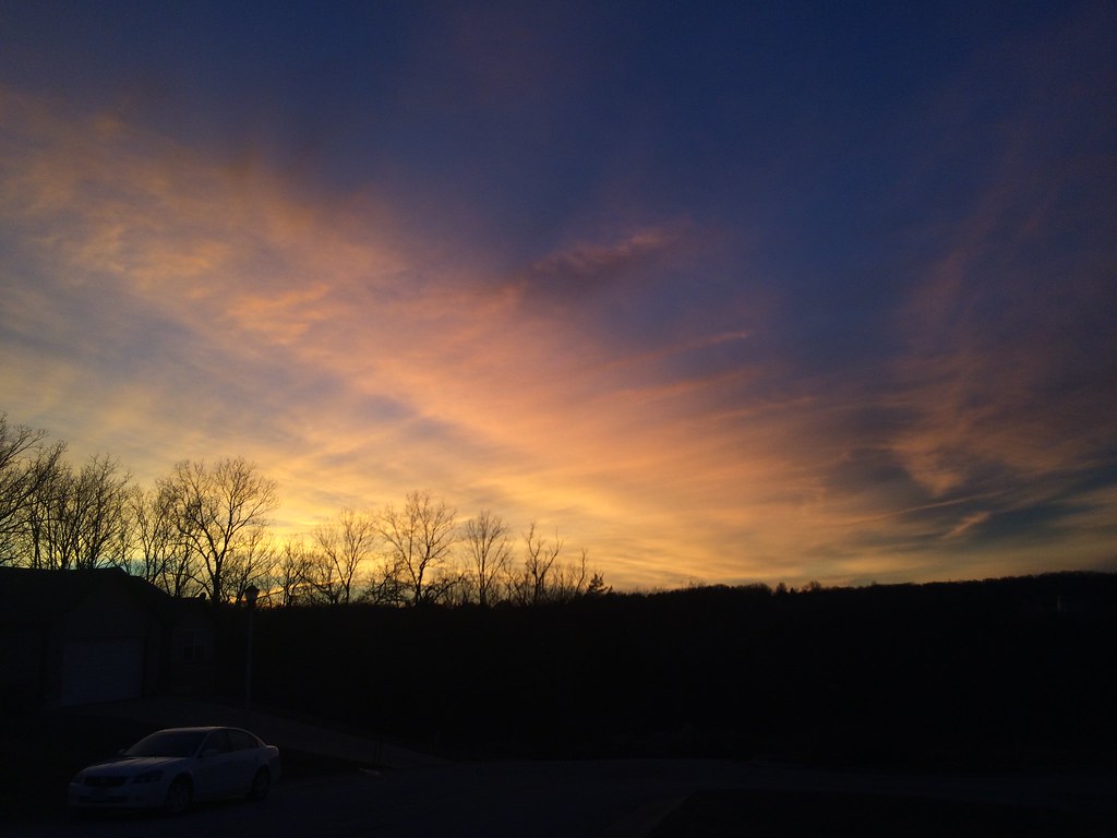
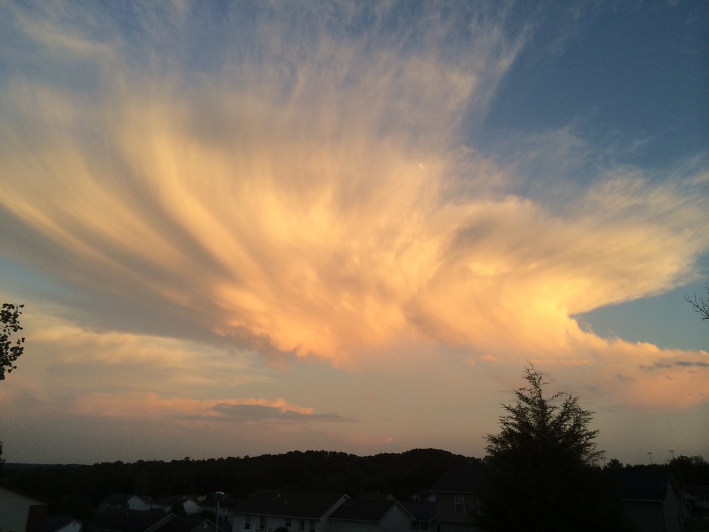
Sunset over Union MO tonight
Fire in the sky
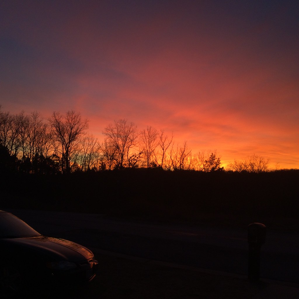
Fire in the sky
Some storms that were to the south of me.

Some storms that were to the south of me.
Topographic Map of Union Township, MO, USA
Find elevation by address:

Places in Union Township, MO, USA:
Places near Union Township, MO, USA:
US-50, Union, MO, USA
3090 Beck Addition Rd
Franklin County
Rose Lee Lane
Wildwood Road
6510 State Hwy Bb
Union
500 E Locust St
Franklin Ave, Union, MO, USA
417 Crestview Dr
State Hwy YY, Washington, MO, USA
249 Hwy Ww
311 Torrey Pines Cir
4783 N 4 Mile Rd
7711 Lakefield Ct
8290 State Hwy 47
US-50, Beaufort, MO, USA
Beaufort
W Springfield Rd, St Clair, MO, USA
Rainbow Ridge
Recent Searches:
- Elevation of 7 Waterfall Way, Tomball, TX, USA
- Elevation of SW 57th Ave, Portland, OR, USA
- Elevation of Crocker Dr, Vacaville, CA, USA
- Elevation of Pu Ngaol Community Meeting Hall, HWHM+3X7, Krong Saen Monourom, Cambodia
- Elevation of Royal Ontario Museum, Queens Park, Toronto, ON M5S 2C6, Canada
- Elevation of Groblershoop, South Africa
- Elevation of Power Generation Enterprises | Industrial Diesel Generators, Oak Ave, Canyon Country, CA, USA
- Elevation of Chesaw Rd, Oroville, WA, USA
- Elevation of N, Mt Pleasant, UT, USA
- Elevation of 6 Rue Jules Ferry, Beausoleil, France