Elevation of Leslie, MO, USA
Location: United States > Missouri > Franklin County > Boone Township >
Longitude: -91.232094
Latitude: 38.4178279
Elevation: 255m / 837feet
Barometric Pressure: 98KPa
Elevation Map:
Satellite Map:
Related Photos:
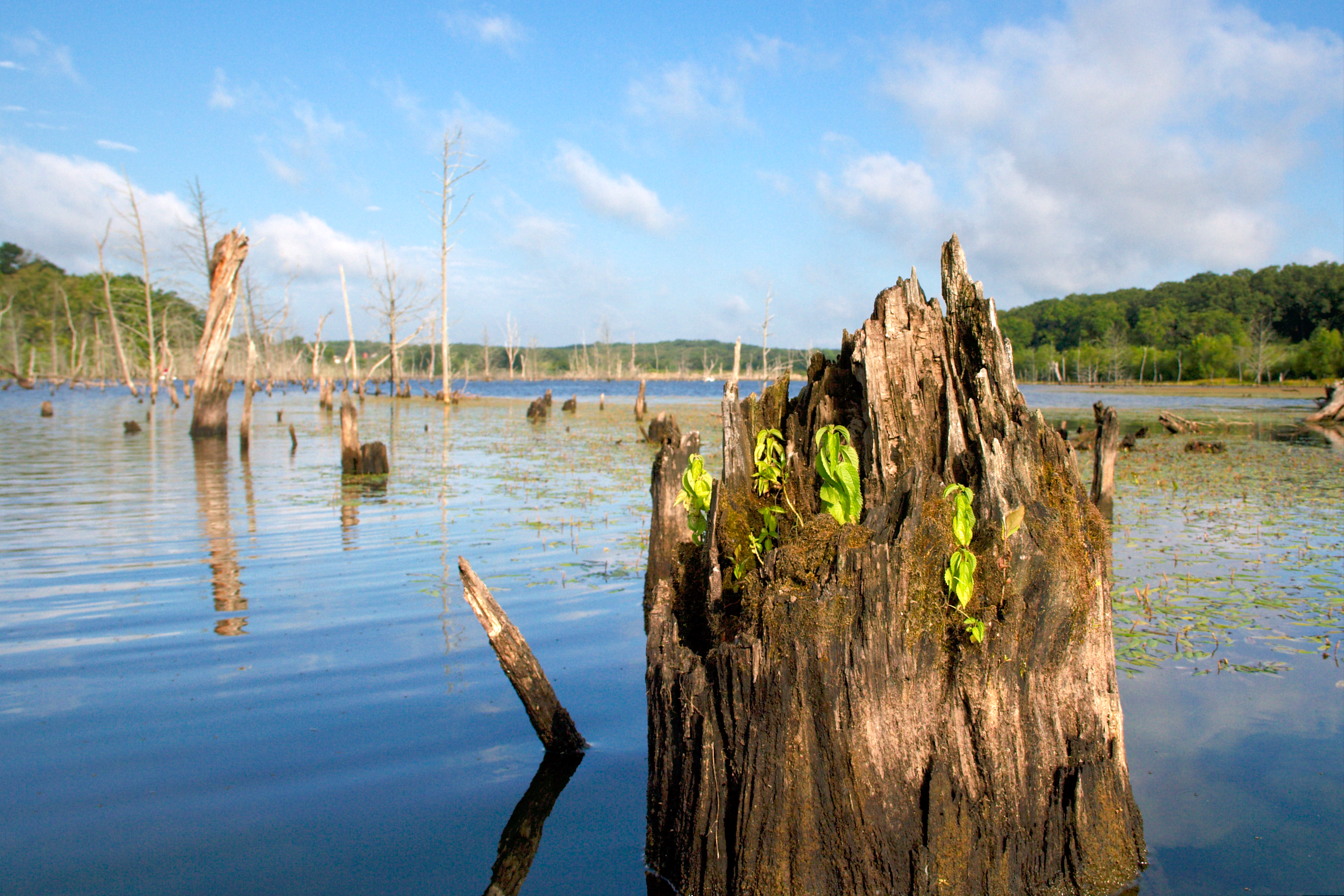
kayak-0099

Some storms that were to the south of me.
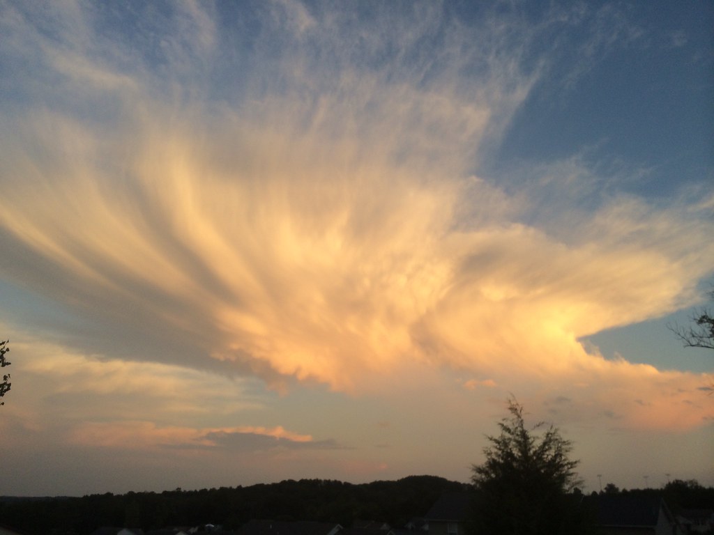
Some storms that were to the south of me.

Radio, radio
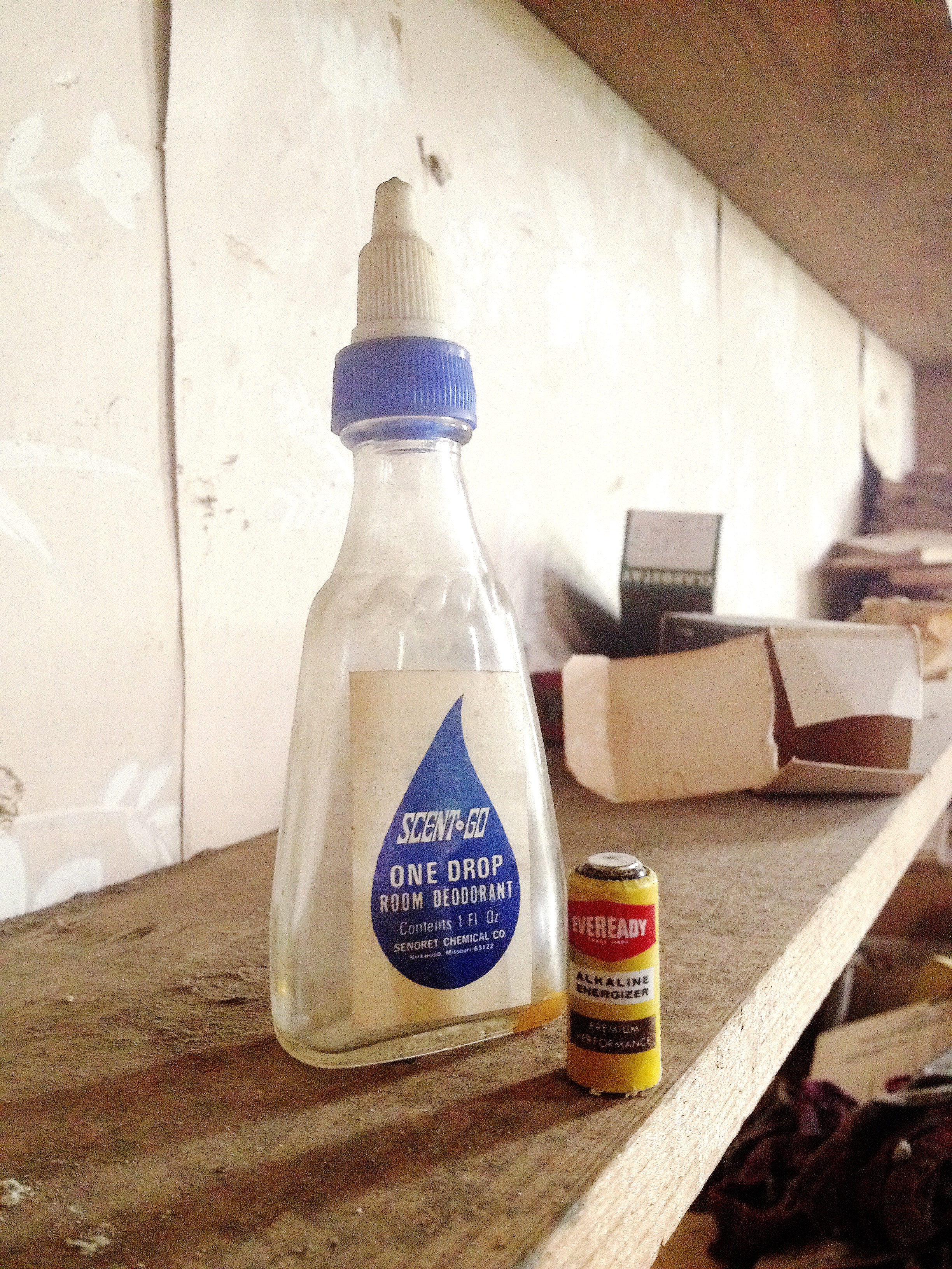
One Drop

This Day

File Under Water

Xmas Dog Food
Buffalo Ridge School

Found it just like this
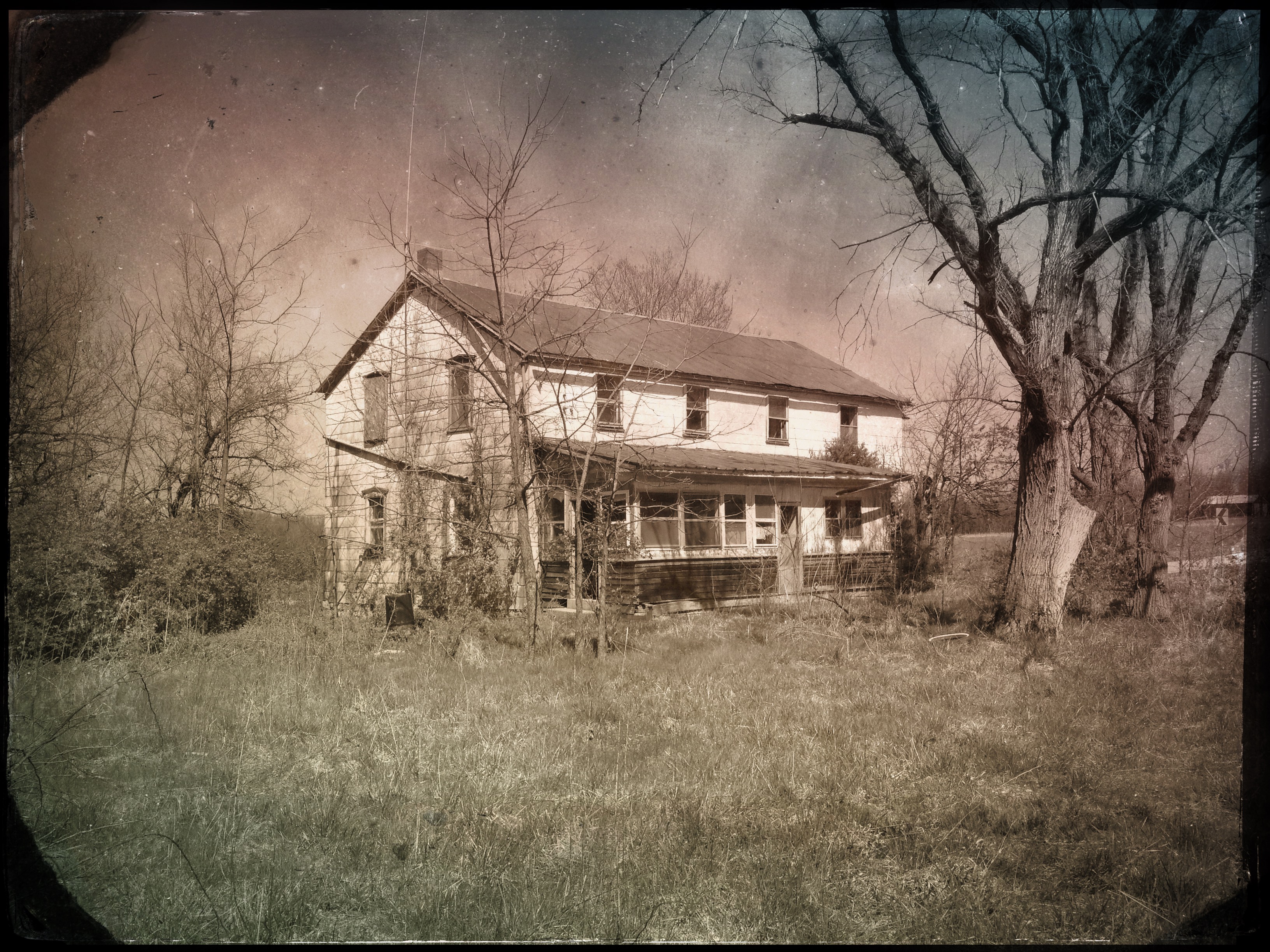
"#4011 House"

Middle East Comfort Zone
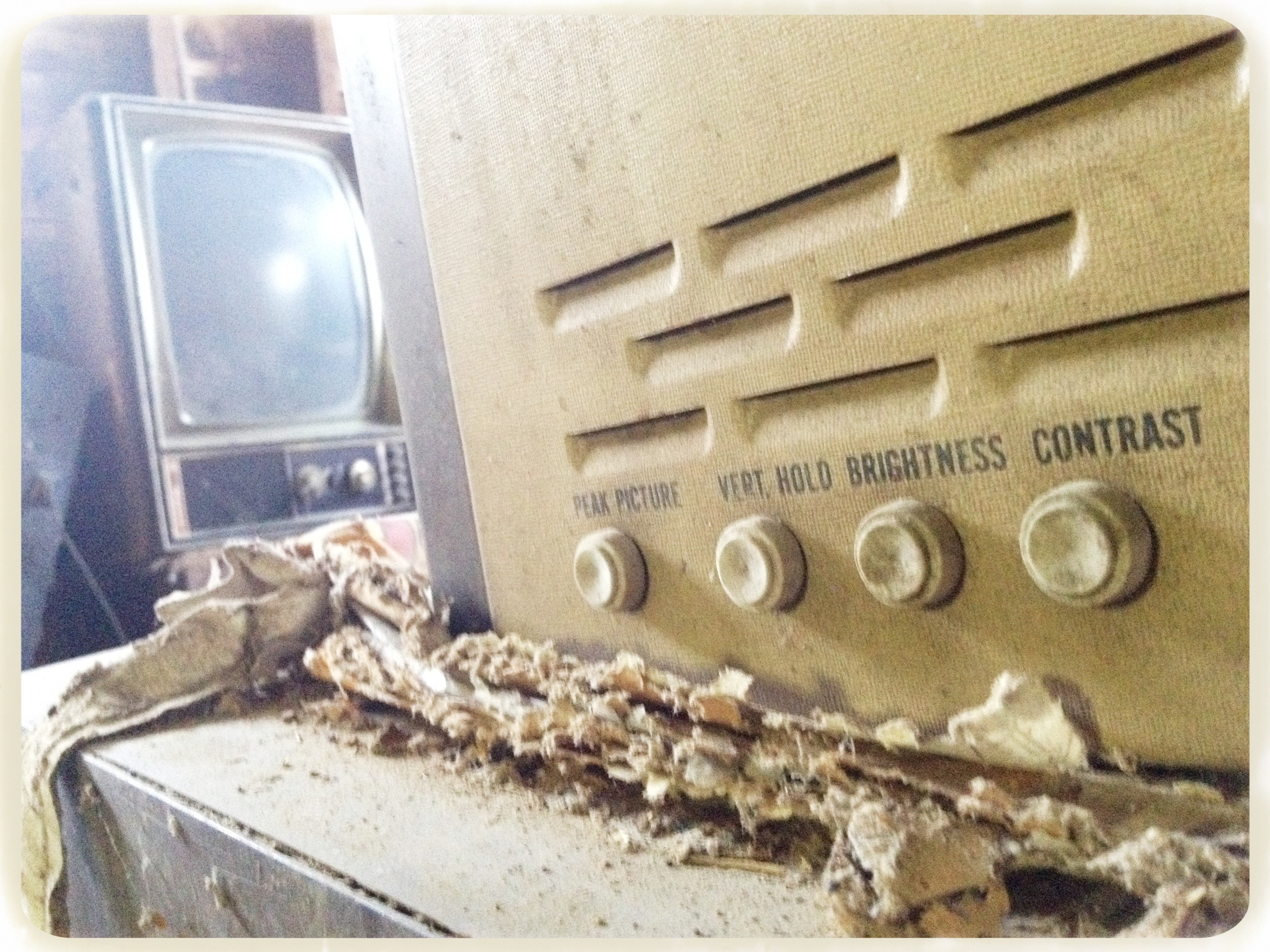
Picture adjustments

Lemon Lime

LeRoy's bus

Maverick Channel Master

Big Ben
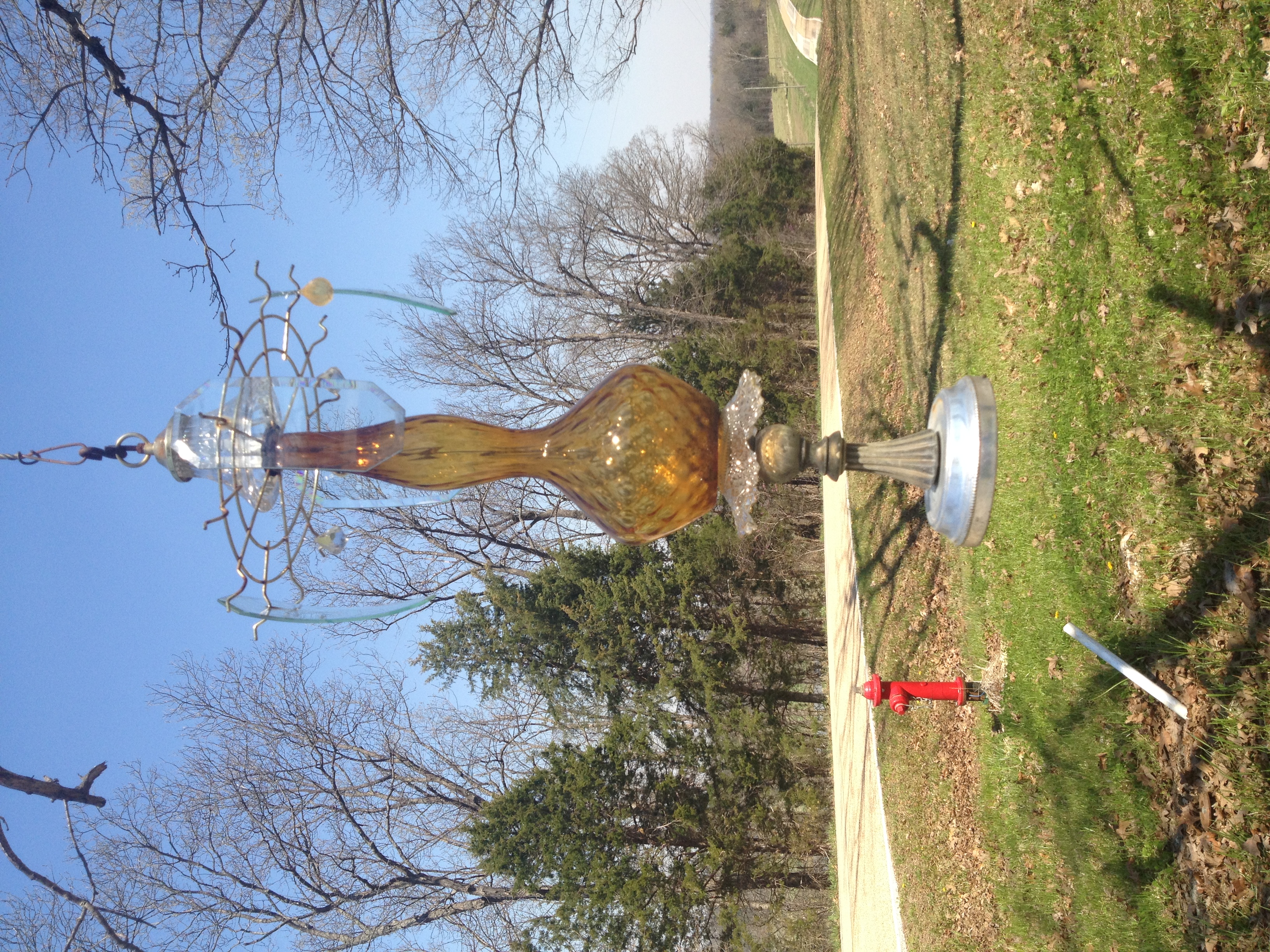
Lawn o' Lamps
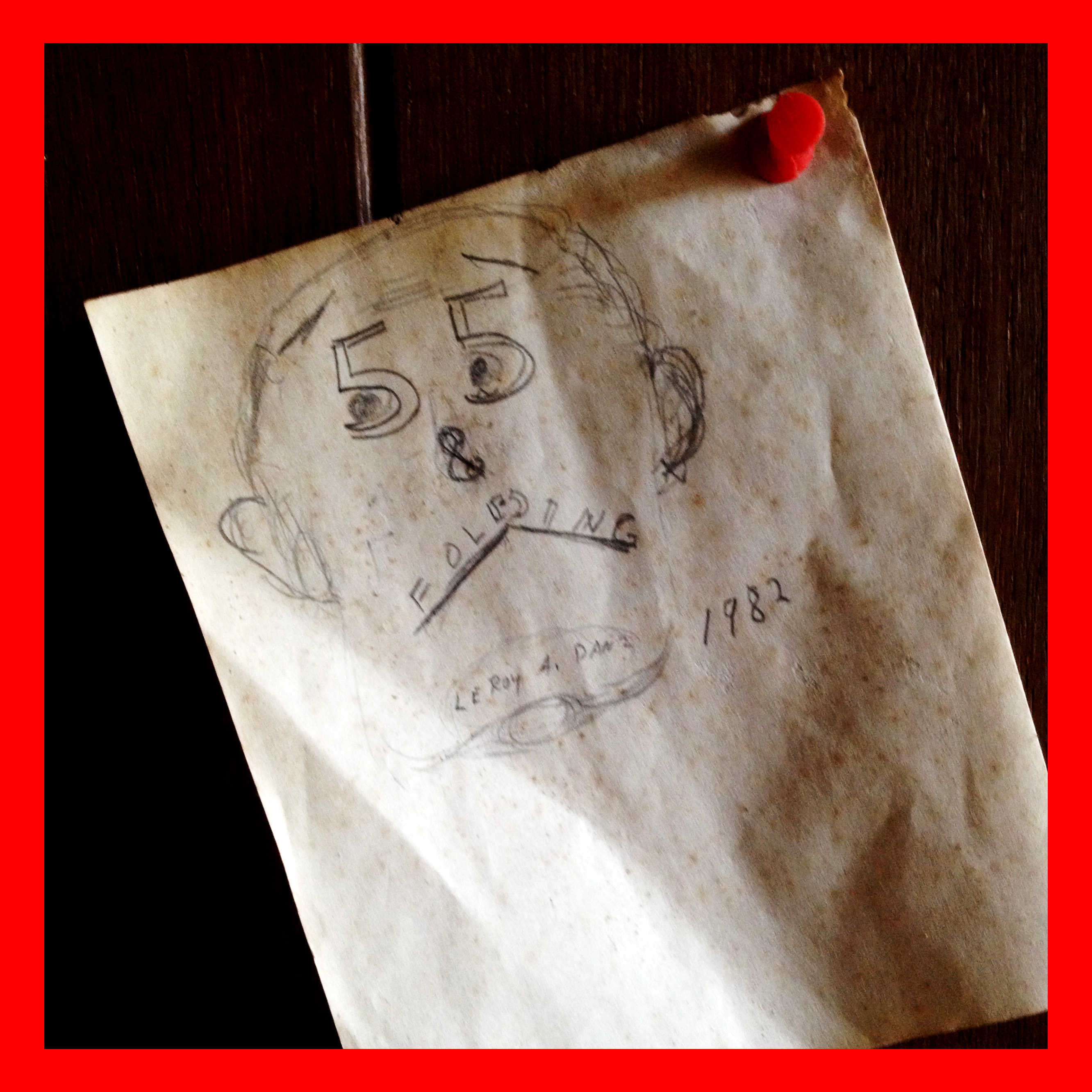
55 & Folding

Razors & hair tonic

Krypton Bulb
Day glow
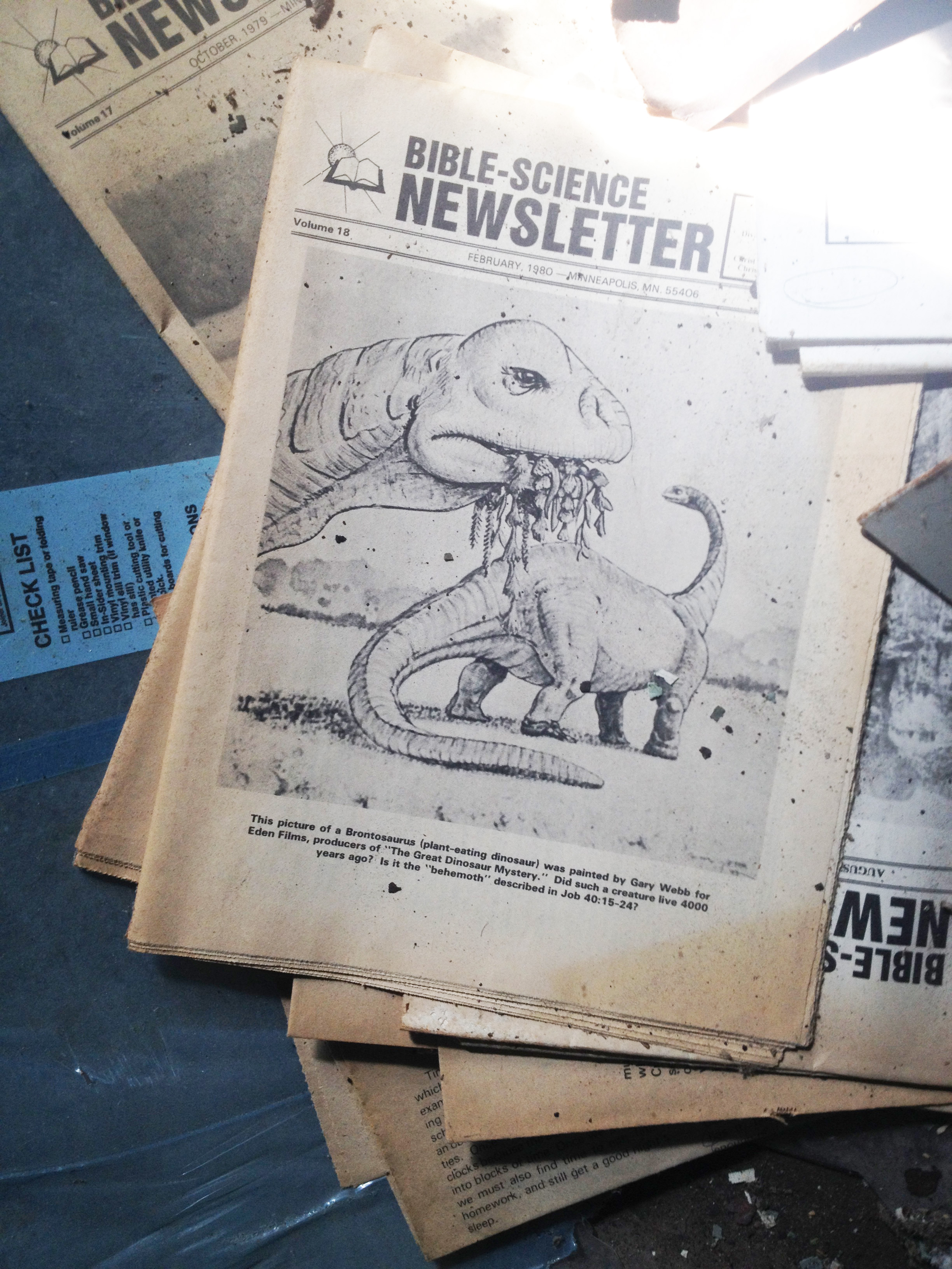
Young-Earthin'

Anchovy!
Topographic Map of Leslie, MO, USA
Find elevation by address:

Places in Leslie, MO, USA:
Places near Leslie, MO, USA:
Beaufort
US-50, Beaufort, MO, USA
Boone Township
S Lake Dr, Leslie, MO, USA
Wildwood Road
Franklin County
Champion City Church Road
State Hwy YY, Washington, MO, USA
US-50, Union, MO, USA
7254 Indian Bend Rd
Union Township
Rosebud
Meramec Township
184 Dinky Rd
MO-, Washington, MO, USA
New Haven
Olivia Ct, New Haven, MO, USA
3411 Kaiser Hill Rd
New Haven Township
Japan
Recent Searches:
- Elevation of Great Brook Sports, Gold Star Hwy, Groton, CT, USA
- Elevation of 10 Mountain Laurels Dr, Nashua, NH, USA
- Elevation of 16 Gilboa Ln, Nashua, NH, USA
- Elevation of Laurel Rd, Townsend, TN, USA
- Elevation of 3 Nestling Wood Dr, Long Valley, NJ, USA
- Elevation of Ilungu, Tanzania
- Elevation of Yellow Springs Road, Yellow Springs Rd, Chester Springs, PA, USA
- Elevation of Rēzekne Municipality, Latvia
- Elevation of Plikpūrmaļi, Vērēmi Parish, Rēzekne Municipality, LV-, Latvia
- Elevation of 2 Henschke Ct, Caboolture QLD, Australia