Elevation of US-2, Moyie Springs, ID, USA
Location: United States > Idaho > Boundary County >
Longitude: -116.08046
Latitude: 48.6625961
Elevation: 687m / 2254feet
Barometric Pressure: 93KPa
Elevation Map:
Satellite Map:
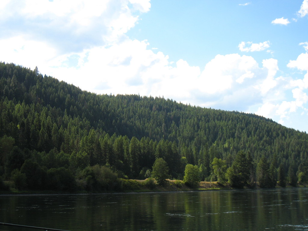
Related Photos:
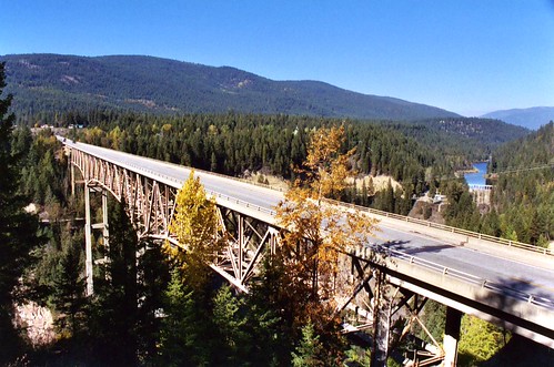
Moyie River Canyon Bridge, Bonners Ferry, Idaho
Montana North Hwy 508 2

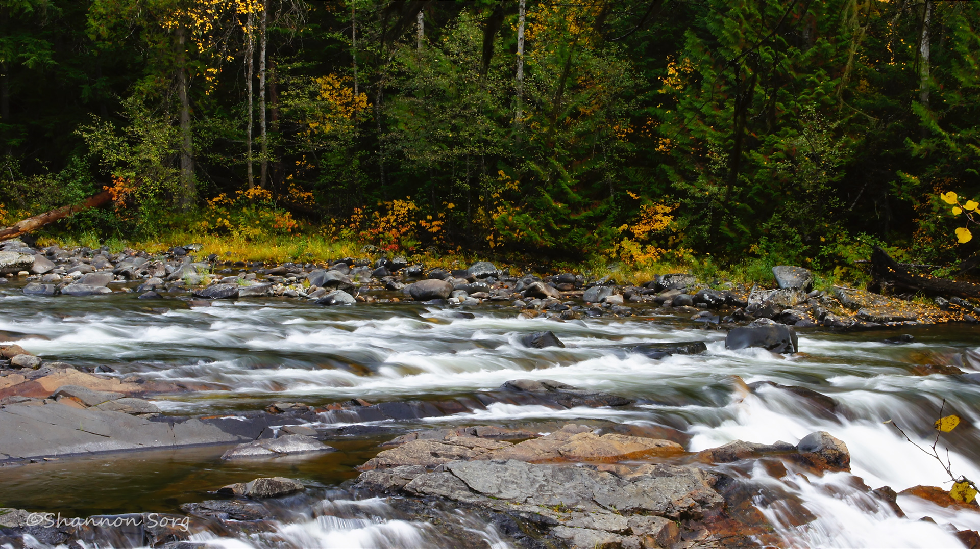
Yaak River 2
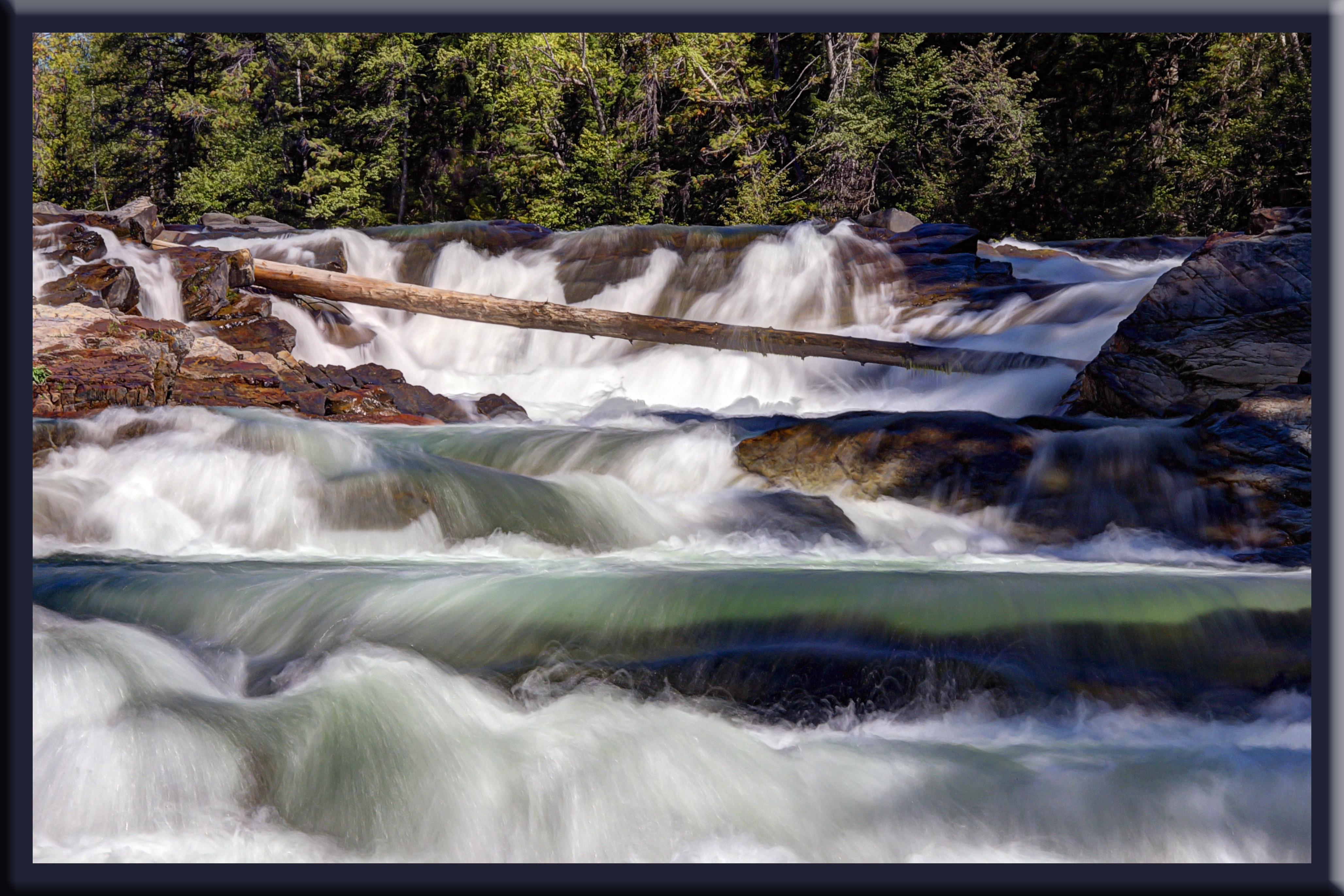
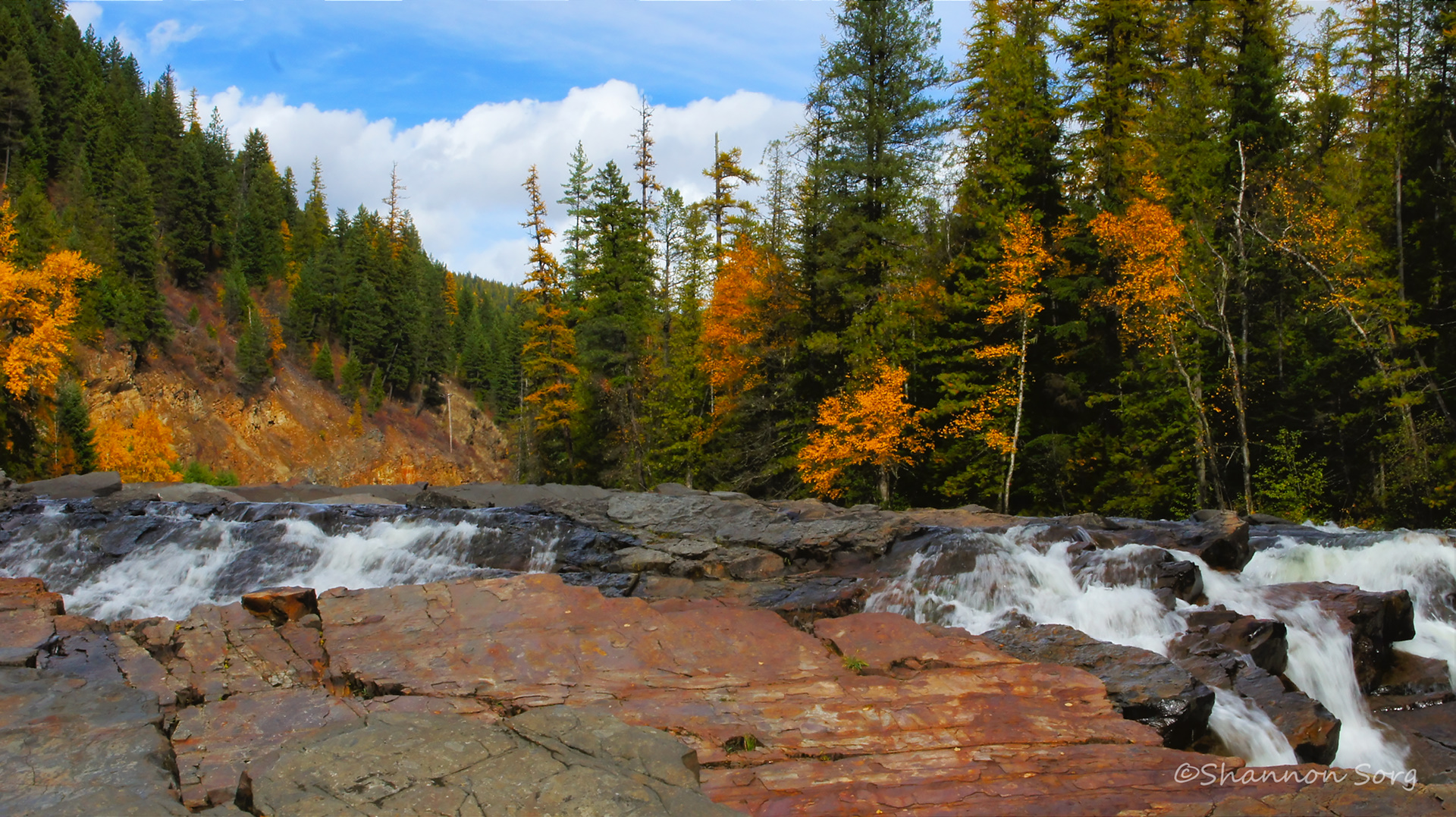
Yaak River Falls, Montana
Yaak River 5
Yaak River 3
Yaak River 1

National Forest Dirt Road 5996 - Kootenai National Forest, Montana
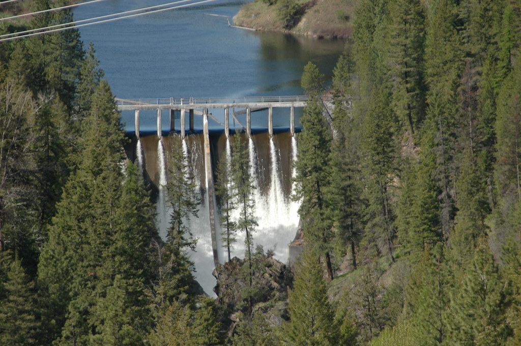
D70-0516-039 - Moyie River Dam
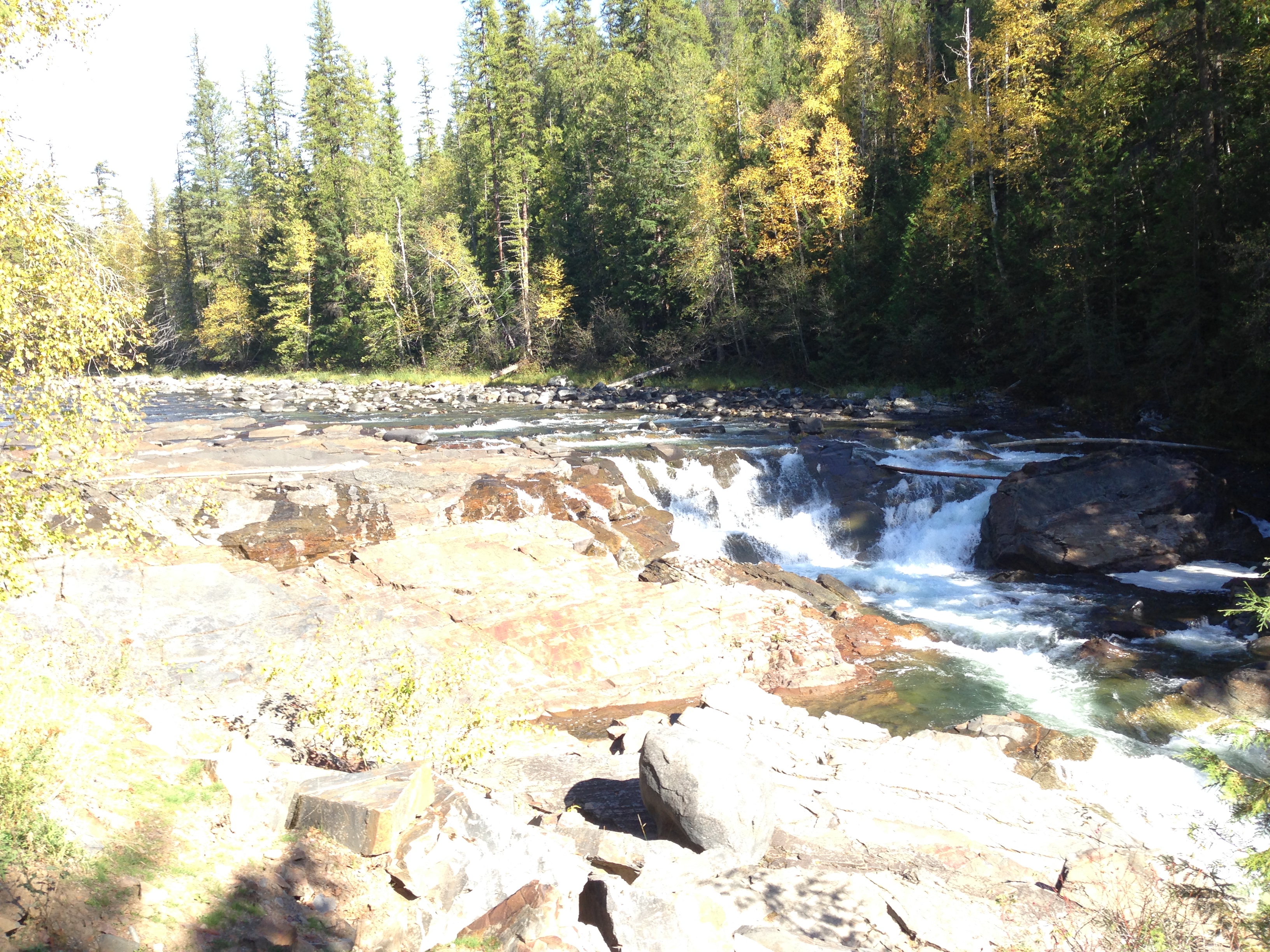
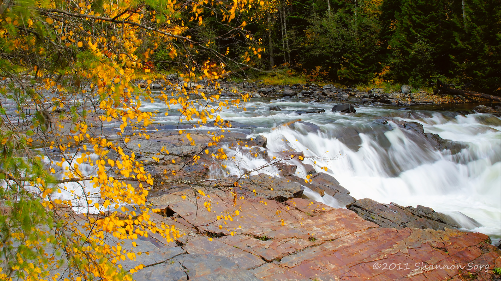
More falls

D70-0516-040 - Moyie River Dam
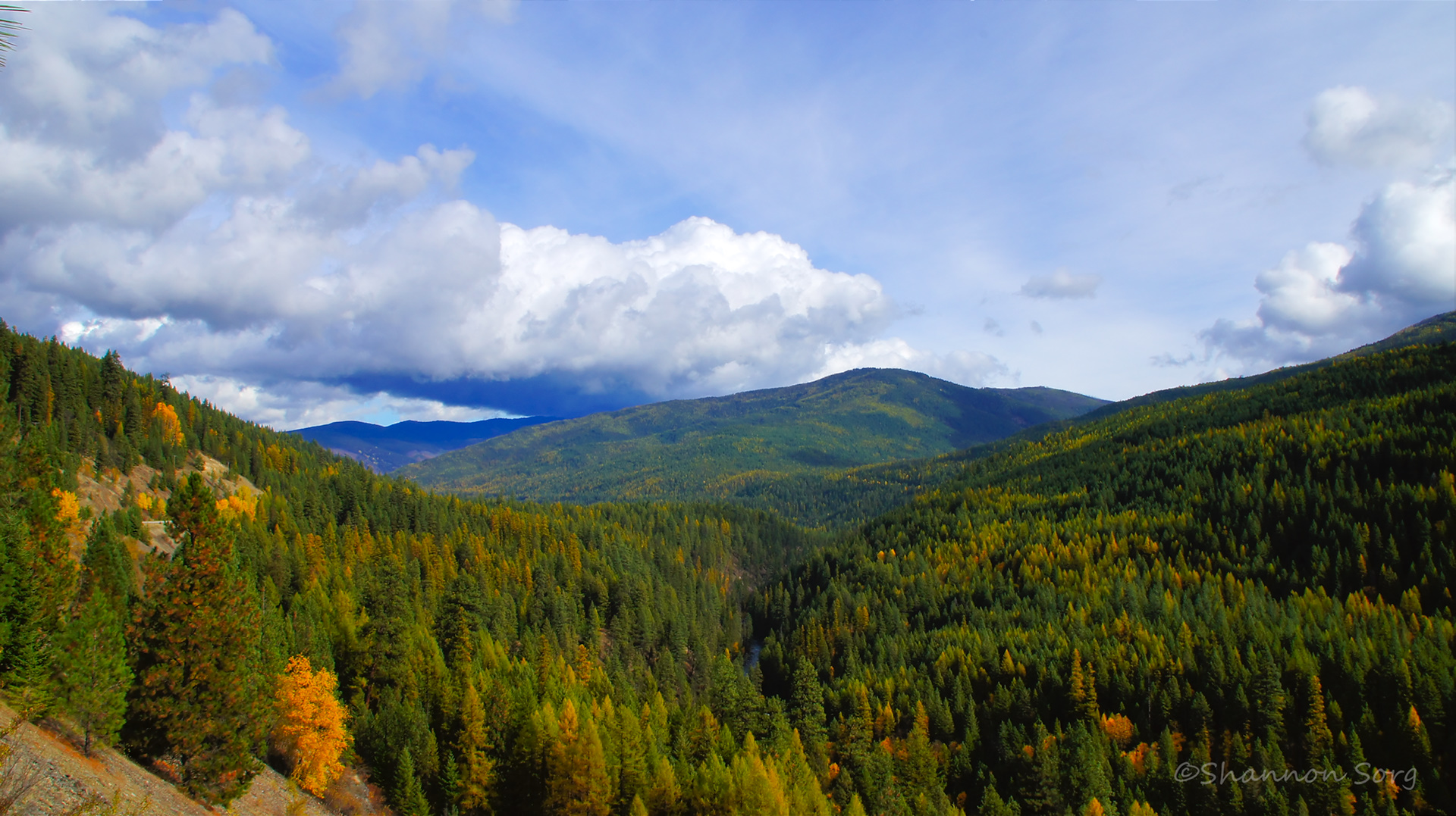
Forested splendor
Topographic Map of US-2, Moyie Springs, ID, USA
Find elevation by address:

Places near US-2, Moyie Springs, ID, USA:
142 Wolverine Rd
1366 Curley Creek Rd
53 Leonia Rd, Troy, MT, USA
2793 Katka Rd
4310 Us-2
Moyie Springs
2766 Katka Rd
2766 Katka Rd
U.s. 2
U.s. 2
Clifty Mountain
Yaak River Campground
Quiet Place
455 French Point Dr
34 Arrowleaf Dr
Yaak Mountain Lookout
14454 Yaak River Rd
6199 Meadow Creek Rd
1013 Lone Pony Ln
Smith Lake
Recent Searches:
- Elevation of Corso Fratelli Cairoli, 35, Macerata MC, Italy
- Elevation of Tallevast Rd, Sarasota, FL, USA
- Elevation of 4th St E, Sonoma, CA, USA
- Elevation of Black Hollow Rd, Pennsdale, PA, USA
- Elevation of Oakland Ave, Williamsport, PA, USA
- Elevation of Pedrógão Grande, Portugal
- Elevation of Klee Dr, Martinsburg, WV, USA
- Elevation of Via Roma, Pieranica CR, Italy
- Elevation of Tavkvetili Mountain, Georgia
- Elevation of Hartfords Bluff Cir, Mt Pleasant, SC, USA