Elevation of Wolverine Rd, Moyie Springs, ID, USA
Location: United States > Idaho > Boundary County >
Longitude: -116.06664
Latitude: 48.6583989
Elevation: -10000m / -32808feet
Barometric Pressure: 295KPa
Elevation Map:
Satellite Map:
Related Photos:

Yaak, Montana
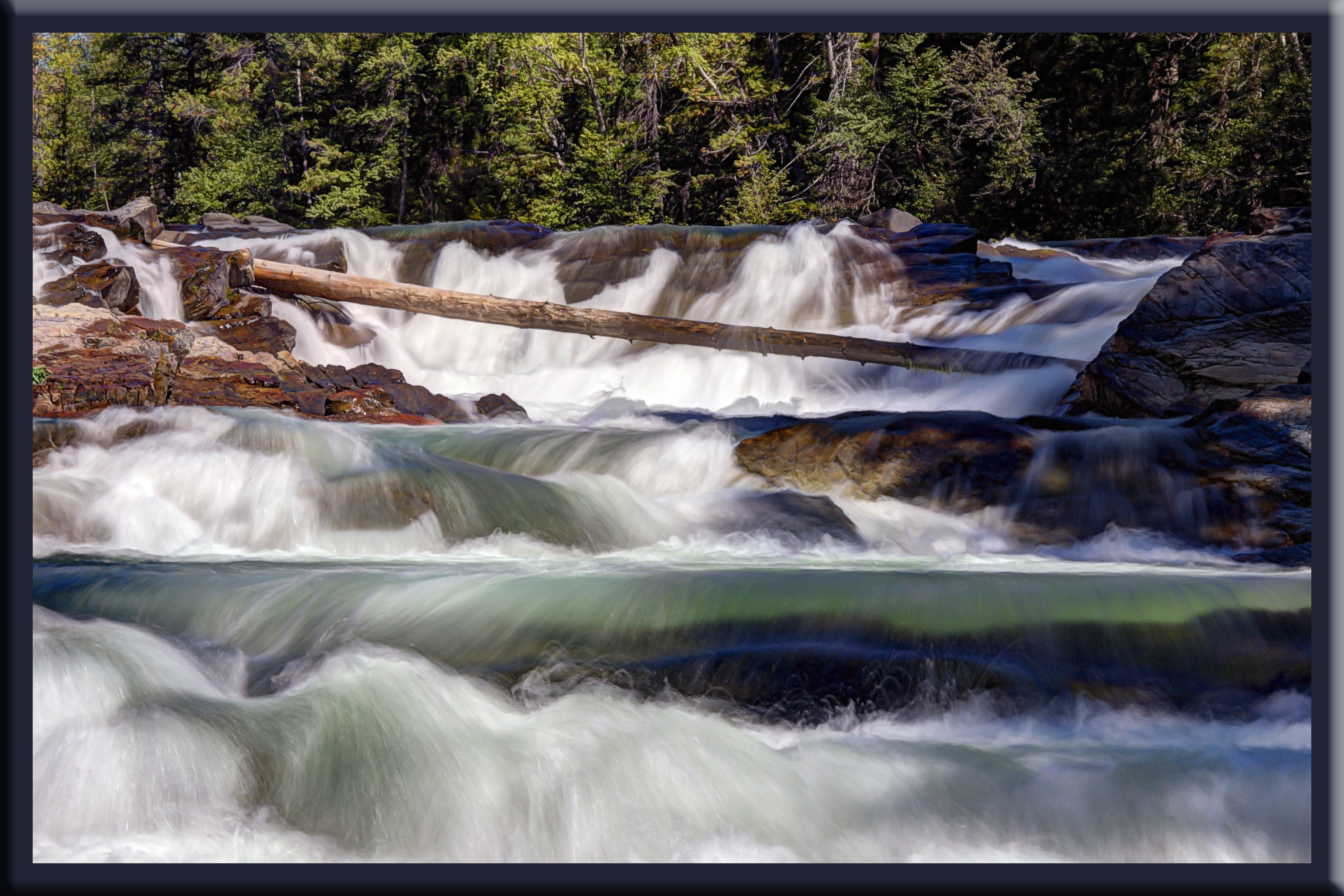
Yaak River Falls, Montana
Montana North Hwy 508 2

Yaak River 3

Yaak River 1

Kootenai National Forest Dirt Road - Montana in Summer

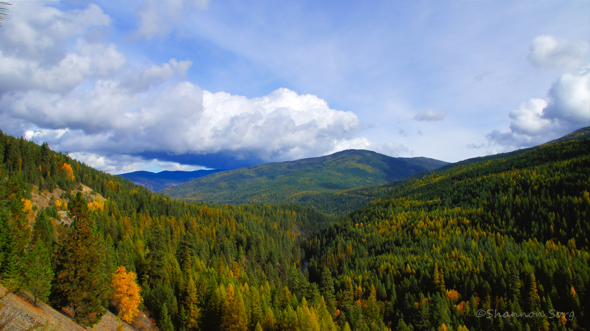
Kootenai National Forest - Montana in Summer

Moyie River - Mountains in Moyie Springs, Idaho

More falls

Awesome falls

Katka Overlook

Yaak River Falls
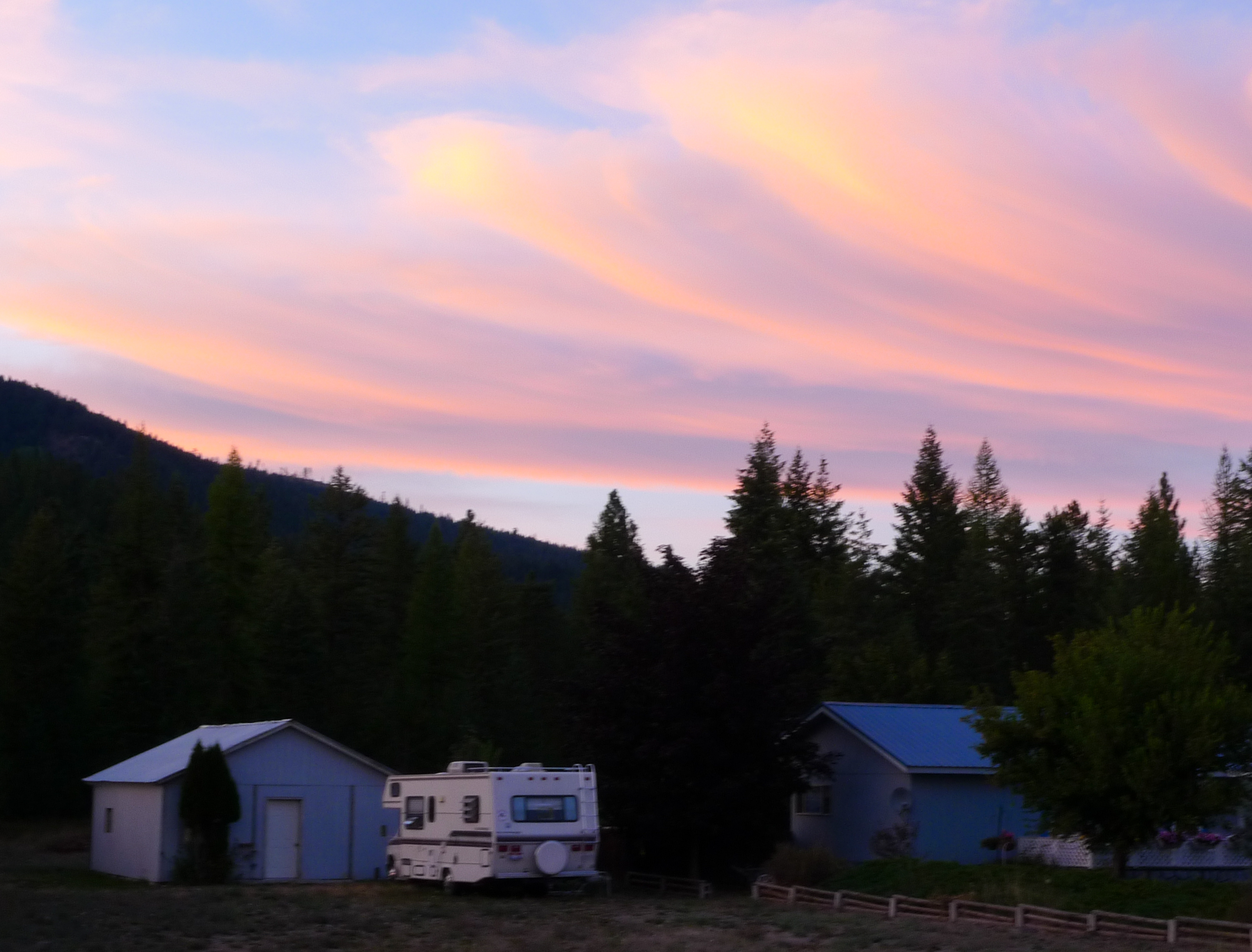
Sunset (Montana/Idaho border)

D70-0516-038 - Moyie River Dam

Forested splendor
Topographic Map of Wolverine Rd, Moyie Springs, ID, USA
Find elevation by address:

Places near Wolverine Rd, Moyie Springs, ID, USA:
77600 Us-2
1366 Curley Creek Rd
53 Leonia Rd, Troy, MT, USA
4310 Us-2
2793 Katka Rd
Yaak River Campground
Moyie Springs
2766 Katka Rd
2766 Katka Rd
U.s. 2
U.s. 2
Clifty Mountain
Quiet Place
455 French Point Dr
Yaak Mountain Lookout
34 Arrowleaf Dr
14454 Yaak River Rd
8932 Yaak River Rd
6199 Meadow Creek Rd
1013 Lone Pony Ln
Recent Searches:
- Elevation of Lagasgasan, X+CQH, Tiaong, Quezon, Philippines
- Elevation of Rojo Ct, Atascadero, CA, USA
- Elevation of Flagstaff Drive, Flagstaff Dr, North Carolina, USA
- Elevation of Avery Ln, Lakeland, FL, USA
- Elevation of Woolwine, VA, USA
- Elevation of Lumagwas Diversified Farmers Multi-Purpose Cooperative, Lumagwas, Adtuyon, RV32+MH7, Pangantucan, Bukidnon, Philippines
- Elevation of Homestead Ridge, New Braunfels, TX, USA
- Elevation of Orchard Road, Orchard Rd, Marlborough, NY, USA
- Elevation of 12 Hutchinson Woods Dr, Fletcher, NC, USA
- Elevation of Holloway Ave, San Francisco, CA, USA