Elevation of Clifty Mountain, Idaho, USA
Location: United States > Idaho > Bonners Ferry >
Longitude: -116.22019
Latitude: 48.614104
Elevation: 2025m / 6644feet
Barometric Pressure: 79KPa
Elevation Map:
Satellite Map:
Related Photos:
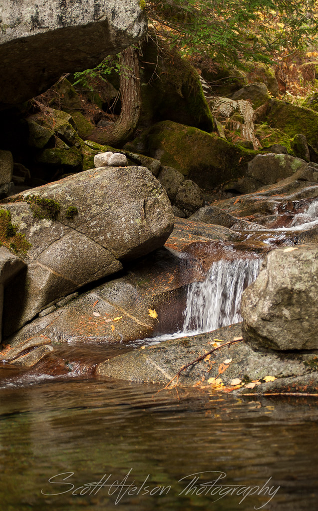
North Fork Grouse Creek Falls, another view
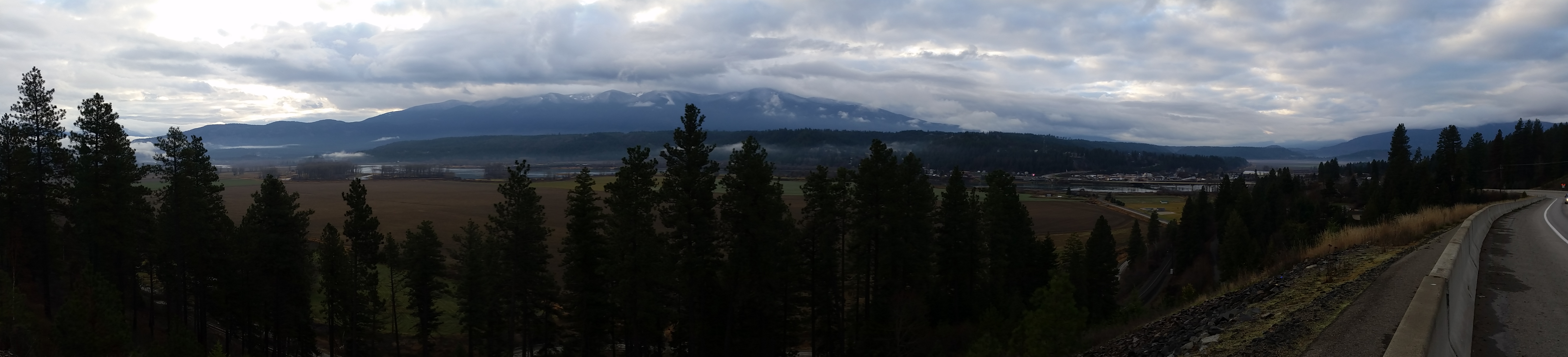
View of Bonner's Ferry
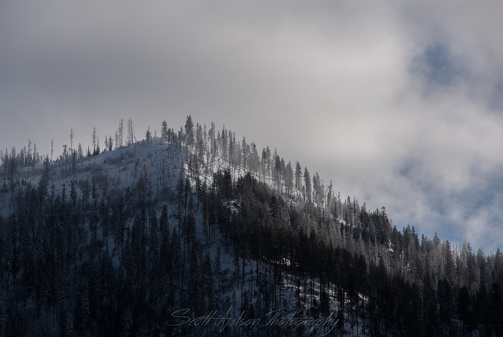
Frosted Hilltop
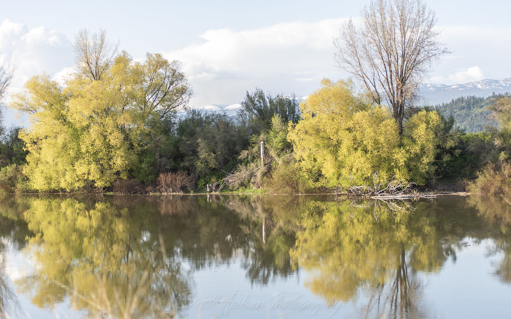
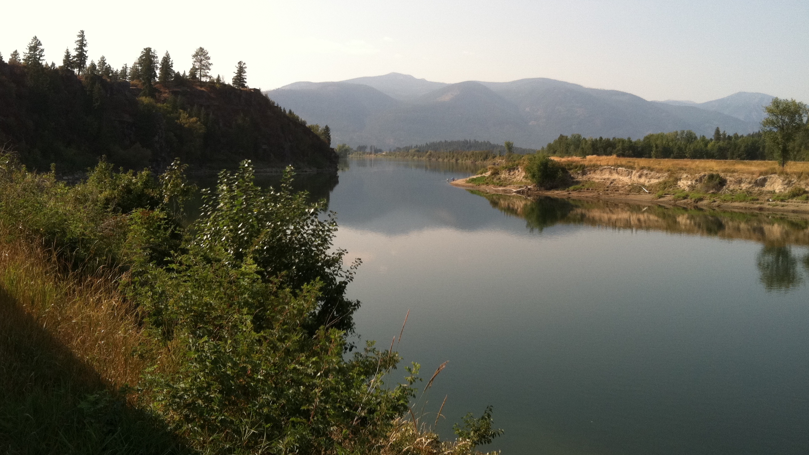
Kootenai River Reflection
Kootenai Game Reserve
IMG_8230.jpg
Naples, ID

Moyie River - Mountains in Moyie Springs, Idaho
Katka Overlook
Exhale...

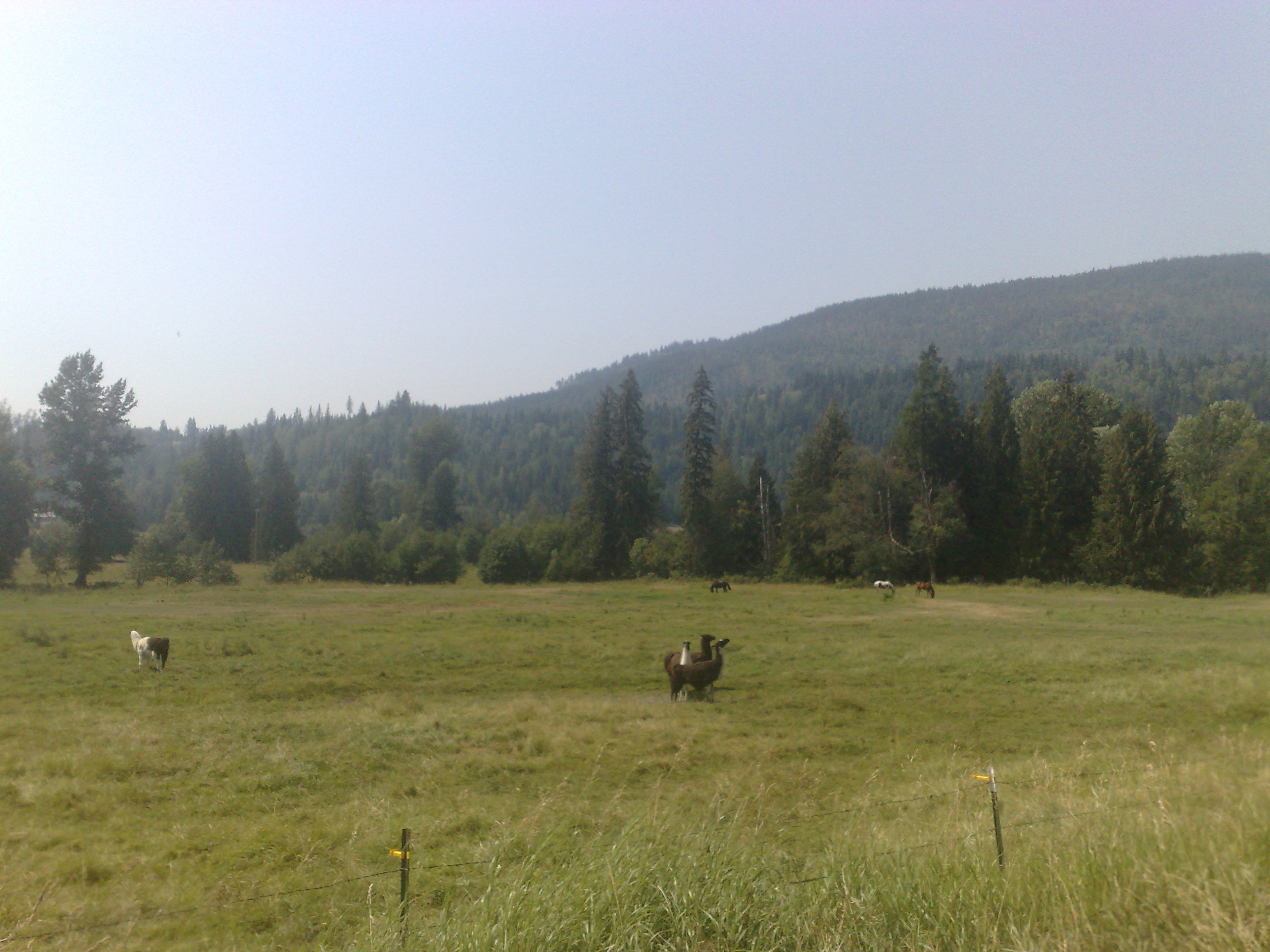
Farmland Vista (HDR)
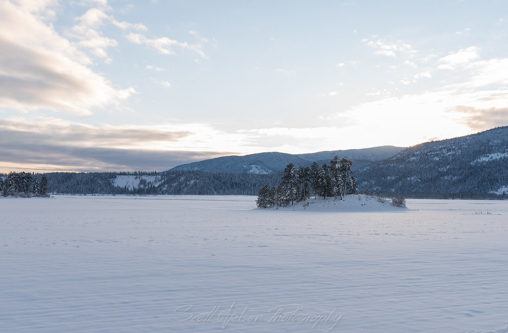
Frozen Islands
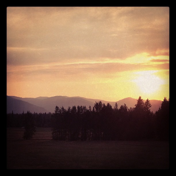
Sunset (Montana/Idaho border)
Selkirk Dave 176
Selkirk Dave 166

D70-0516-038 - Moyie River Dam
01-09-2009
01-09-2009
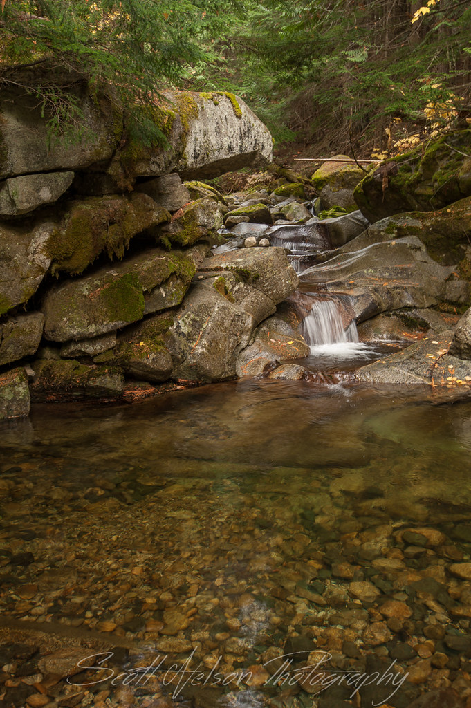
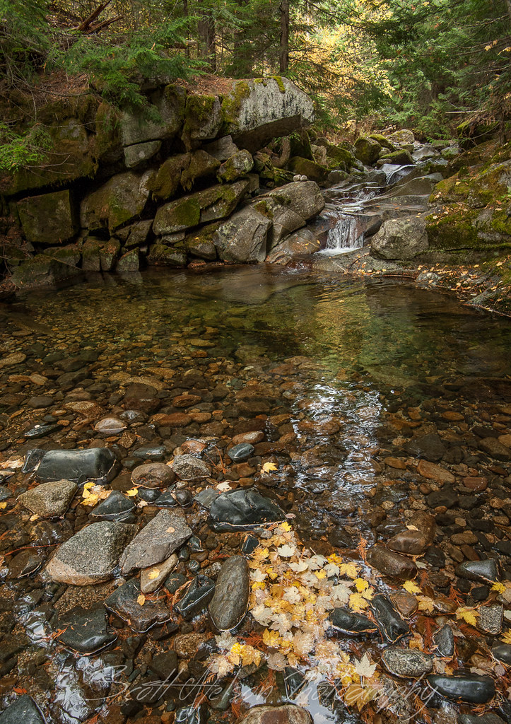
North Fork Grouse Creek Falls Deep Pool
Worn Rock North Fork Grouse Creek Falls
Topographic Map of Clifty Mountain, Idaho, USA
Find elevation by address:

Places near Clifty Mountain, Idaho, USA:
2766 Katka Rd
2766 Katka Rd
2793 Katka Rd
1013 Lone Pony Ln
455 French Point Dr
34 Arrowleaf Dr
Quiet Place
2837 Co Rd 21
2837 Co Rd 21
Moyie Springs
U.s. 2
U.s. 2
Bonners Ferry
Madison Street
Kootenai Street
6593 Madison St
7491 Crow Street
Pot Hole Road
524 Hillcrest Rd
Kaniksu Street
Recent Searches:
- Elevation of Groblershoop, South Africa
- Elevation of Power Generation Enterprises | Industrial Diesel Generators, Oak Ave, Canyon Country, CA, USA
- Elevation of Chesaw Rd, Oroville, WA, USA
- Elevation of N, Mt Pleasant, UT, USA
- Elevation of 6 Rue Jules Ferry, Beausoleil, France
- Elevation of Sattva Horizon, 4JC6+G9P, Vinayak Nagar, Kattigenahalli, Bengaluru, Karnataka, India
- Elevation of Great Brook Sports, Gold Star Hwy, Groton, CT, USA
- Elevation of 10 Mountain Laurels Dr, Nashua, NH, USA
- Elevation of 16 Gilboa Ln, Nashua, NH, USA
- Elevation of Laurel Rd, Townsend, TN, USA