Elevation of Bonners Ferry, ID, USA
Location: United States > Idaho >
Longitude: -116.31630
Latitude: 48.6913257
Elevation: 578m / 1896feet
Barometric Pressure: 95KPa
Elevation Map:
Satellite Map:
Related Photos:
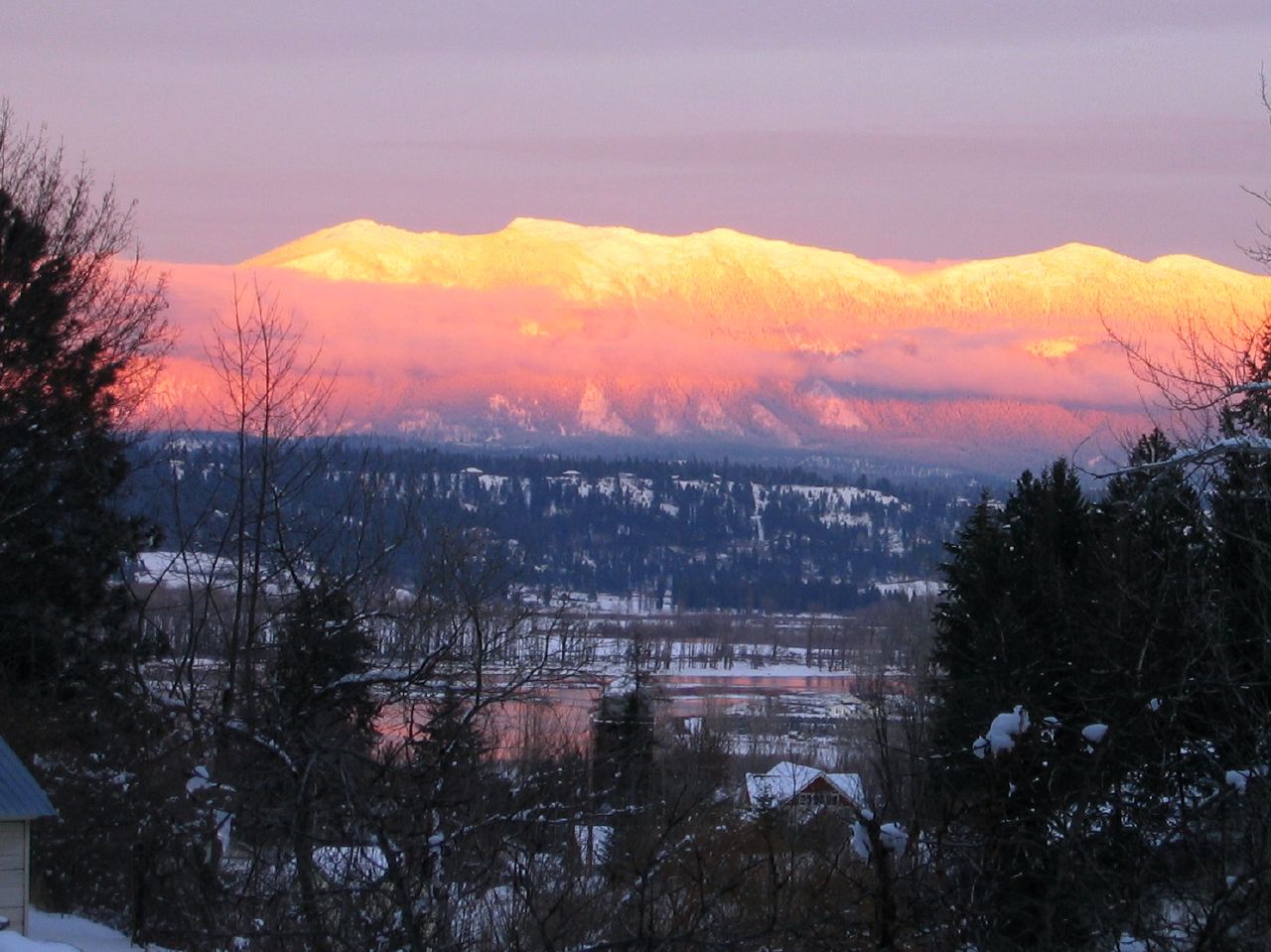
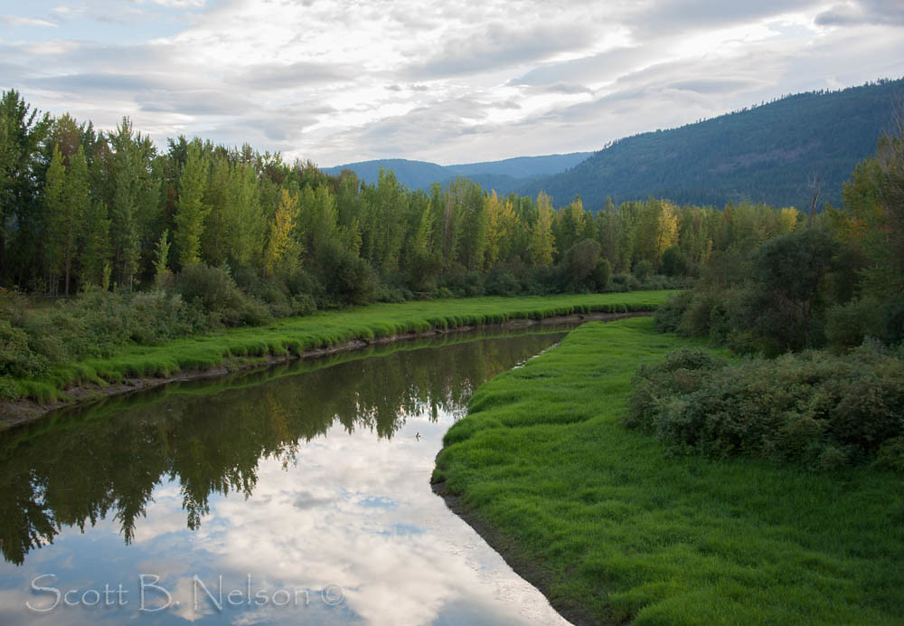
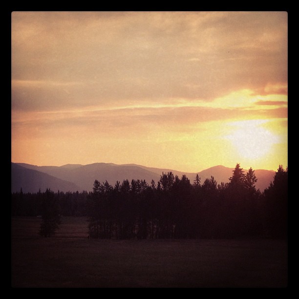
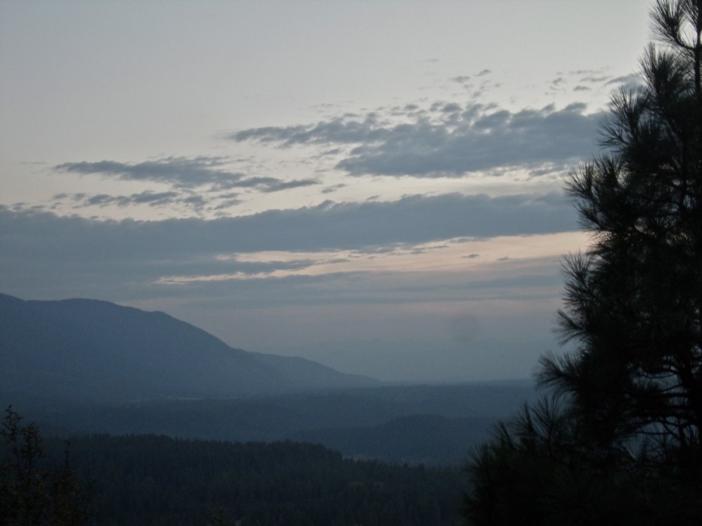
Kootenai Valley sunset
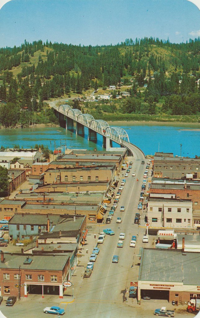
Main Street - Bonners Ferry, Idaho
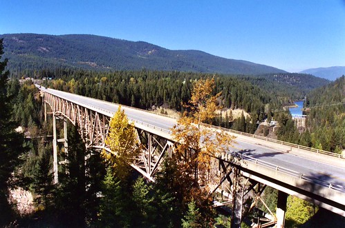
Moyie River Canyon Bridge, Bonners Ferry, Idaho
Kootenai Game Reserve
Icy Falls HDR
Kootenai Game Reserve, Bonners Ferry, Idaho
CrossportID 2010-07-11 0913.46PDT
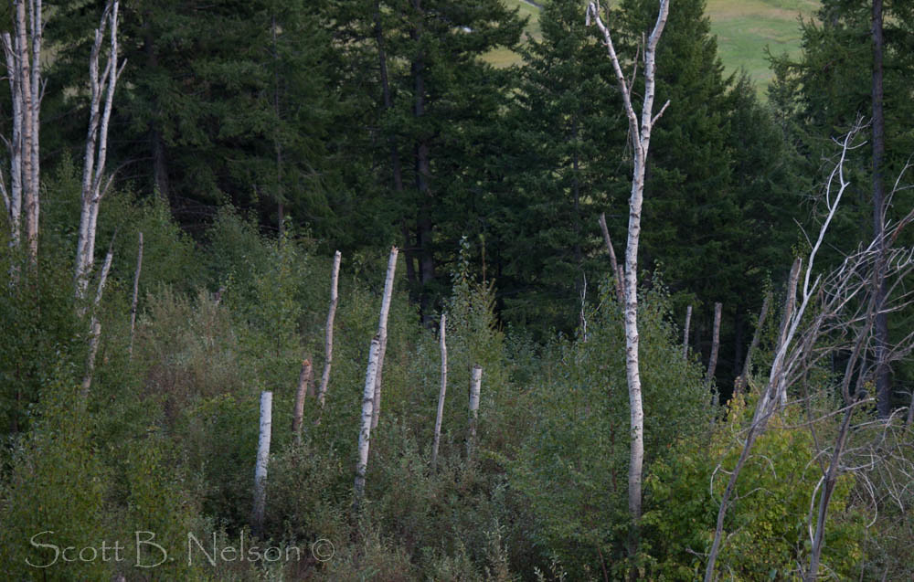
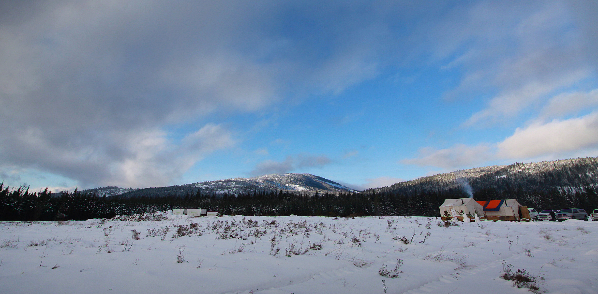
Northern Idaho, Kootenai Game Reserve, Bonners Ferry Idaho
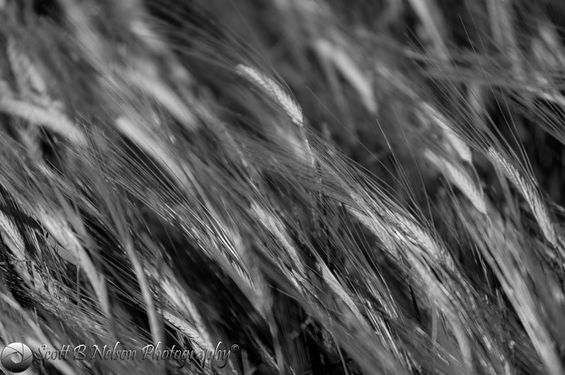
Wheat Black and White
Crystal Creek, Kootenai Game Reserve, Bonners Ferry, Idaho
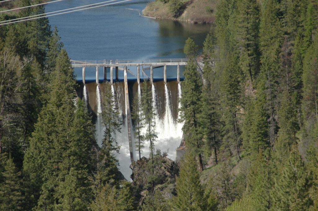
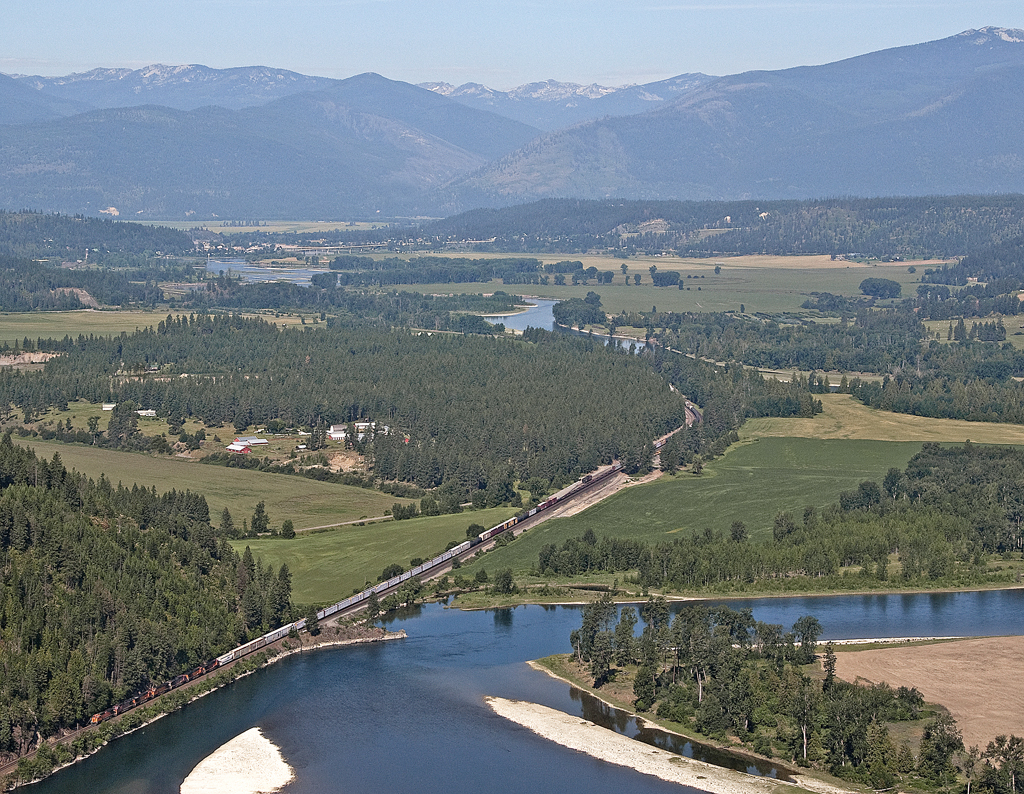
D70-0516-039 - Moyie River Dam

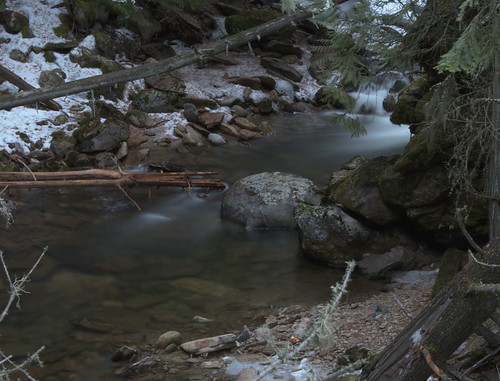
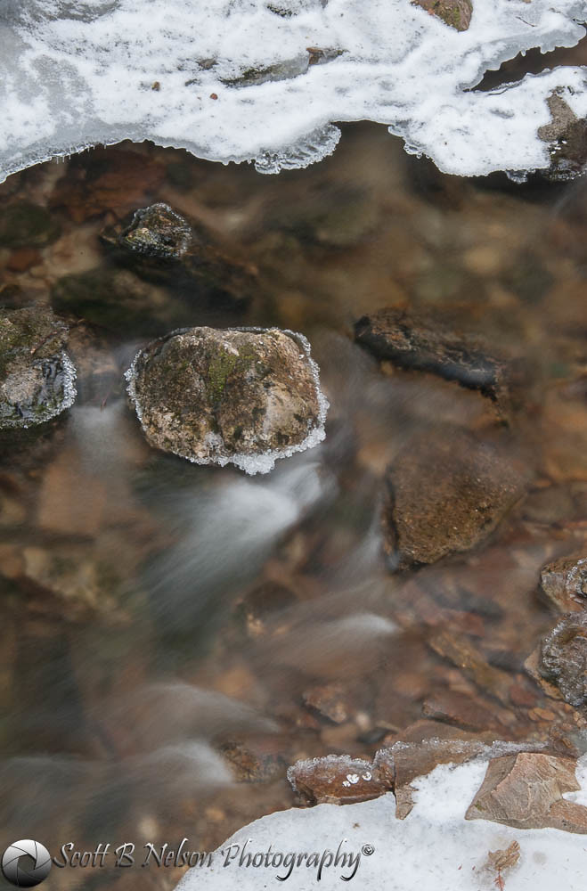
Ice Wall, Crystal Creek, Kootenai Game Reserve, Bonners Ferry, Idaho
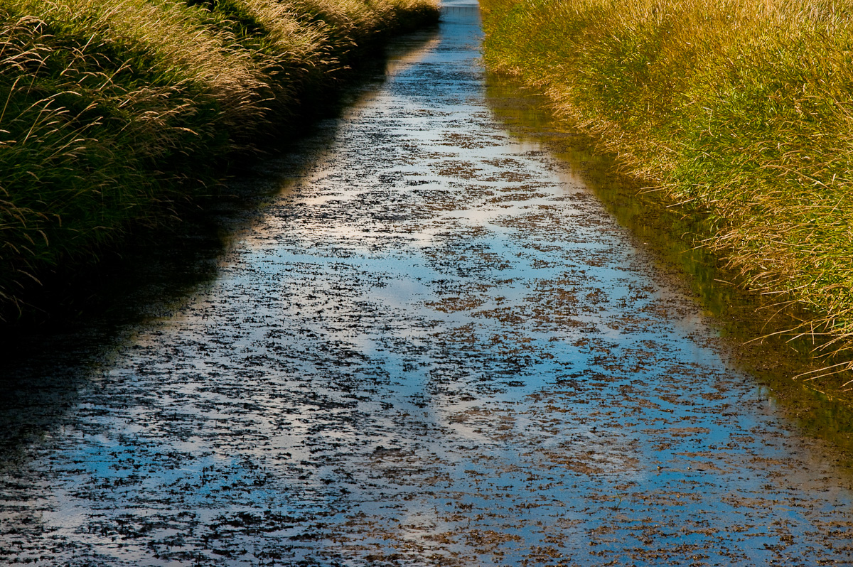
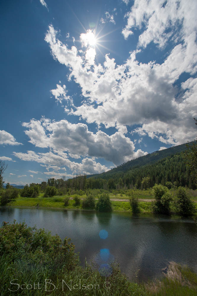
Kootenai Waters

Good morning from Bonner's Ferry, Idaho (pic)
Trees snapped from snow. Northern Idaho, Kootenai Game Reserve
Exhale...
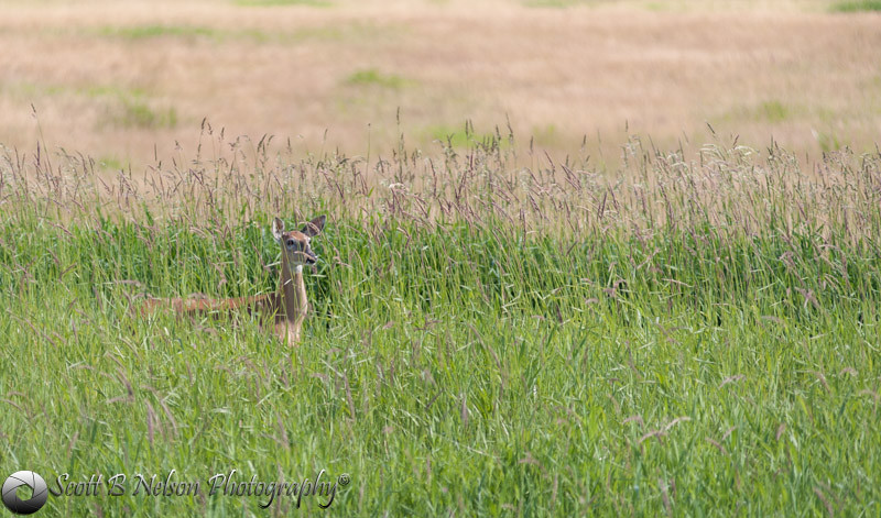
White Tailed Deer

Cut Wheat Northern Idaho, Kootenai Game Reserve, Bonners Ferry Idaho

D70-0516-040 - Moyie River Dam
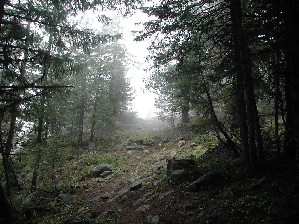
On the Trail
Katka Overlook
Western Red20
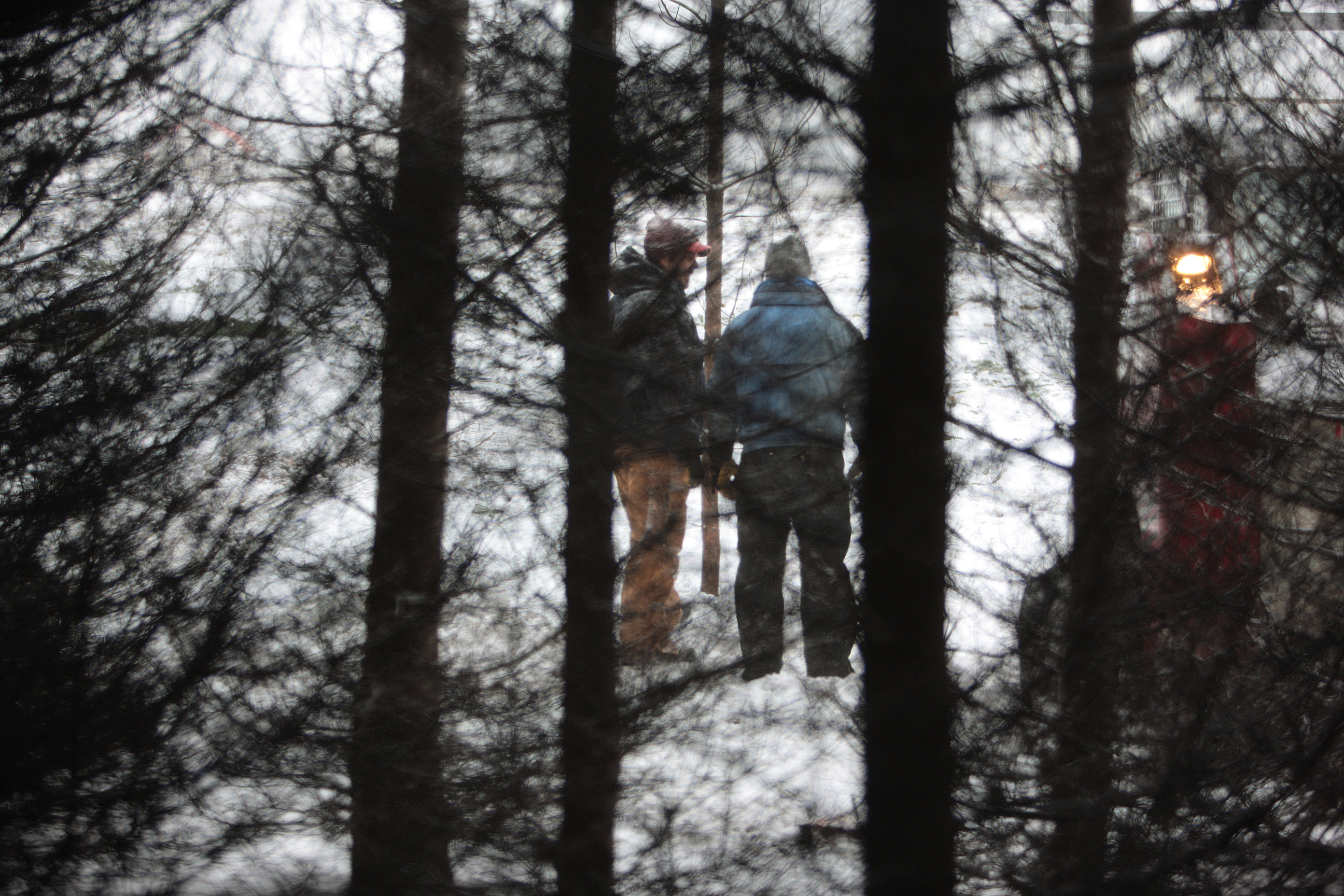
Harvesting Trees 14
Topographic Map of Bonners Ferry, ID, USA
Find elevation by address:

Places in Bonners Ferry, ID, USA:
Little Snowy Top
Snowy Top
Kaniksu Mountain
Continental Mountain
Grass Mountain
Silver Mountain
Lone Tree Peak
Parker Peak
Eneas Peak
Farnham Peak
Boundary County Hp
Harvey Mountain
Border Mountain
Harrison Peak
US-95, Bonners Ferry, ID, USA
District 5 Rd, Bonners Ferry, ID, USA
Madison Street
Kootenai Street
Kaniksu Street
Robinson Lake
Smith Falls
Queen Mountain
Clifty Mountain
Spruce Lake
Smith Lake
Places near Bonners Ferry, ID, USA:
Madison Street
6593 Madison St
Kootenai Street
7491 Crow Street
Kaniksu Street
524 Hillcrest Rd
1013 Lone Pony Ln
US-95, Bonners Ferry, ID, USA
865 Kootenai Trail Rd
224 Bane Ln
2837 Co Rd 21
2837 Co Rd 21
34 Arrowleaf Dr
District 5 Rd, Bonners Ferry, ID, USA
Pot Hole Road
455 French Point Dr
Fawn Lane Farms
467 Templeman Lake Rd
Quiet Place
Myrtle Falls Trail
Recent Searches:
- Elevation of Corso Fratelli Cairoli, 35, Macerata MC, Italy
- Elevation of Tallevast Rd, Sarasota, FL, USA
- Elevation of 4th St E, Sonoma, CA, USA
- Elevation of Black Hollow Rd, Pennsdale, PA, USA
- Elevation of Oakland Ave, Williamsport, PA, USA
- Elevation of Pedrógão Grande, Portugal
- Elevation of Klee Dr, Martinsburg, WV, USA
- Elevation of Via Roma, Pieranica CR, Italy
- Elevation of Tavkvetili Mountain, Georgia
- Elevation of Hartfords Bluff Cir, Mt Pleasant, SC, USA