Elevation of Harrison Peak, Idaho, USA
Location: United States > Idaho > Bonners Ferry >
Longitude: -116.64632
Latitude: 48.6879861
Elevation: 2065m / 6775feet
Barometric Pressure: 79KPa
Elevation Map:
Satellite Map:
Related Photos:

I love to think of nature. . . (Explored)

The headwall
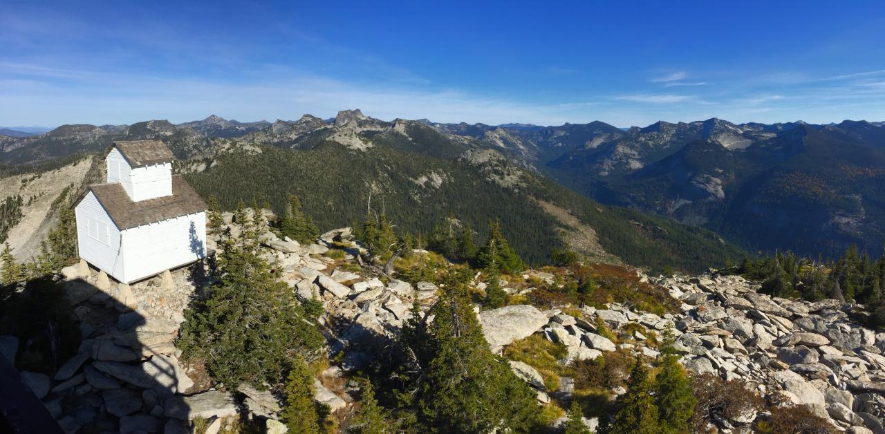
view east of the old fire lookout and Lion Creek towards the Selkirk Crest

view east up Lion Creek from Lookout Mountain
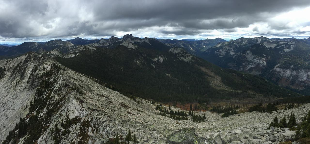
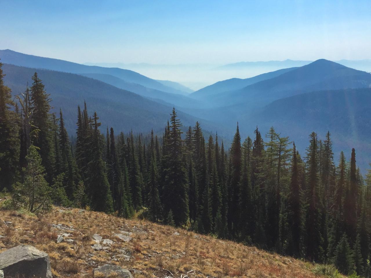
view east from Lookout Mountain over Lions Ridge to the Selkirk Crest
view east up Lion Creek from Lookout Mountain
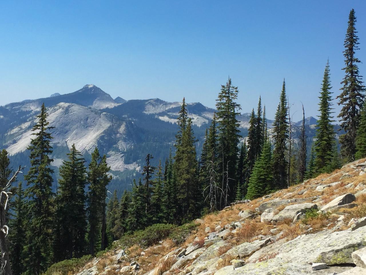
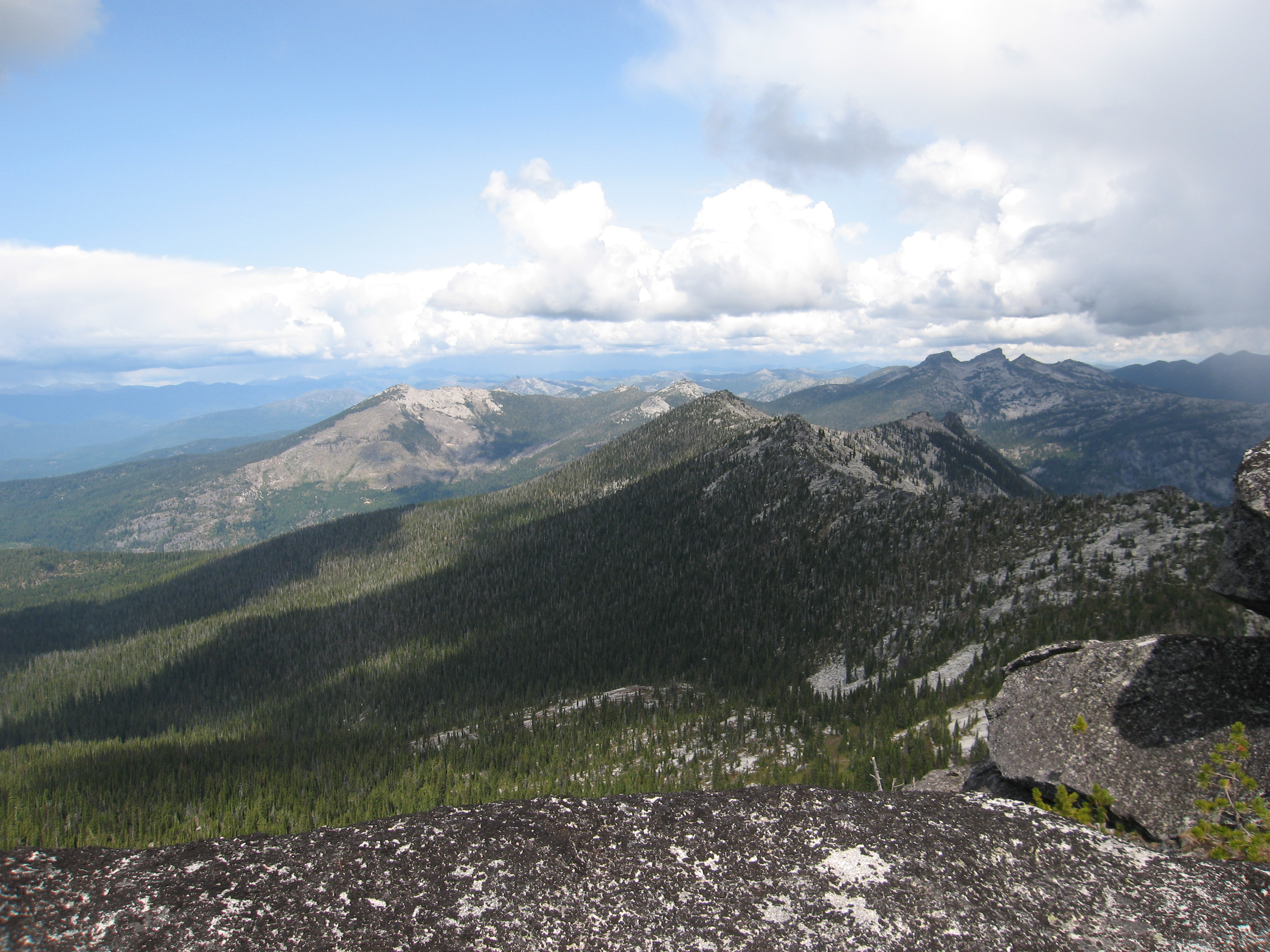
View south from Myrtle Peak to Harrison Peak
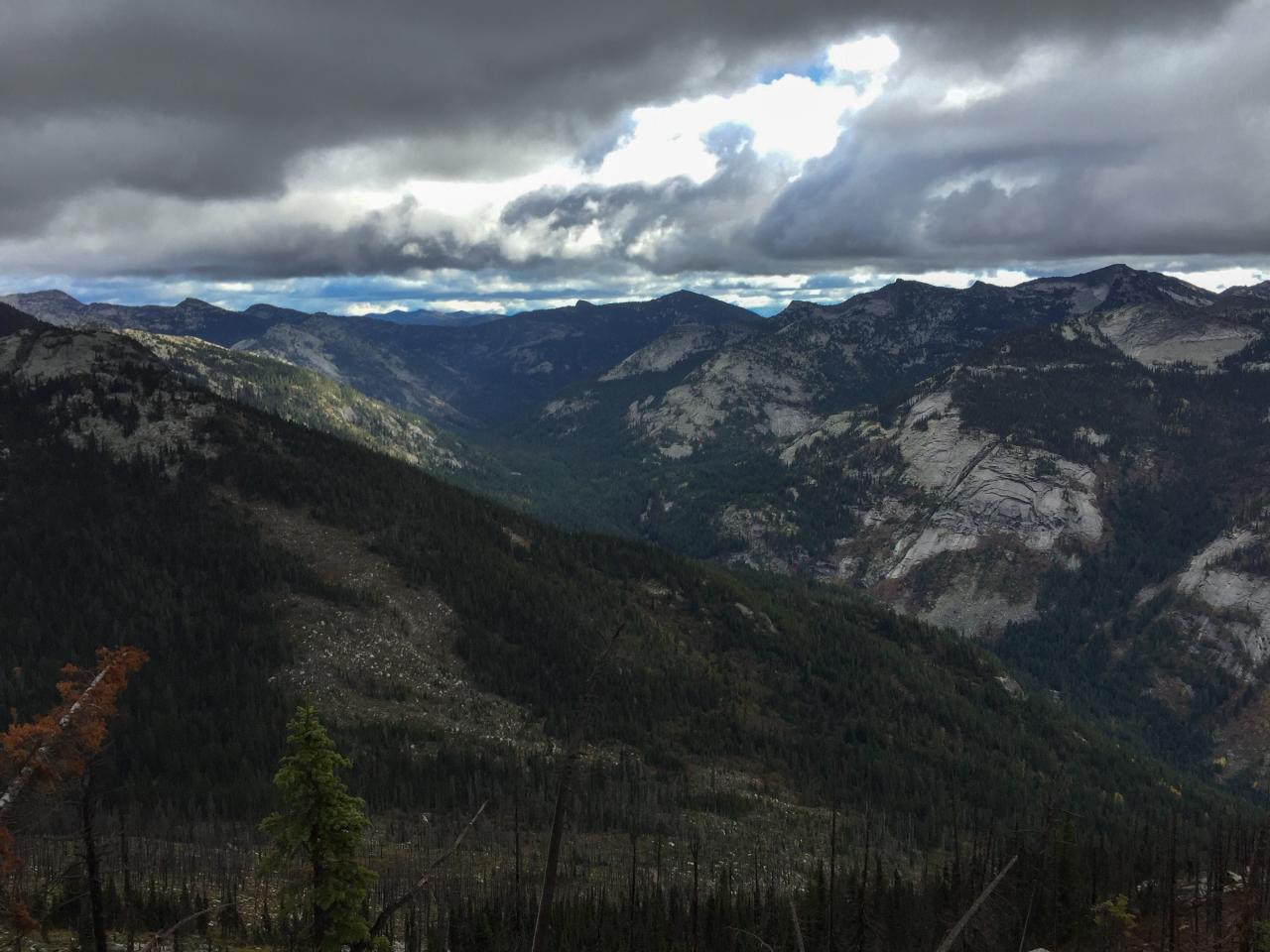
View east down Myrtle Creek from the trail to Myrtle Peak

080831_013-View south from the summit of The Wigwams
080831_017-View north from cache site
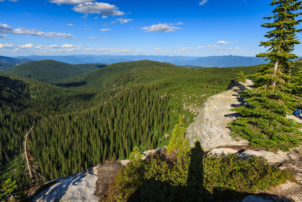
View of the eastern valley
Topographic Map of Harrison Peak, Idaho, USA
Find elevation by address:

Places near Harrison Peak, Idaho, USA:
Roman Nose Lakes
Boundary County
Ruby Creek Road
Boundary County Hp
Parker Peak
Hell Roaring Road
Farnham Peak
188 Roman Nose Dr
188 Roman Nose Dr
188 Roman Nose Dr
188 Roman Nose Dr
426 Fall Creek Rd
421 Fall Creek Rd
64 Fall Creek Rd
48 Fall Creek Rd
107 Fall Creek Rd
Myrtle Falls Trail
4672 Upper Pack River Rd
Eneas Peak
139 Success Ln
Recent Searches:
- Elevation of Corso Fratelli Cairoli, 35, Macerata MC, Italy
- Elevation of Tallevast Rd, Sarasota, FL, USA
- Elevation of 4th St E, Sonoma, CA, USA
- Elevation of Black Hollow Rd, Pennsdale, PA, USA
- Elevation of Oakland Ave, Williamsport, PA, USA
- Elevation of Pedrógão Grande, Portugal
- Elevation of Klee Dr, Martinsburg, WV, USA
- Elevation of Via Roma, Pieranica CR, Italy
- Elevation of Tavkvetili Mountain, Georgia
- Elevation of Hartfords Bluff Cir, Mt Pleasant, SC, USA