Elevation of Boundary County, ID, USA
Location: United States > Idaho >
Longitude: -116.56270
Latitude: 48.7987617
Elevation: 1774m / 5820feet
Barometric Pressure: 82KPa
Elevation Map:
Satellite Map:
Related Photos:

I love to think of nature. . . (Explored)
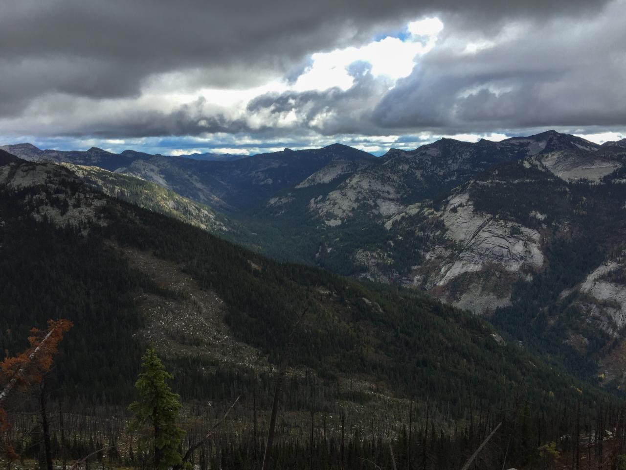
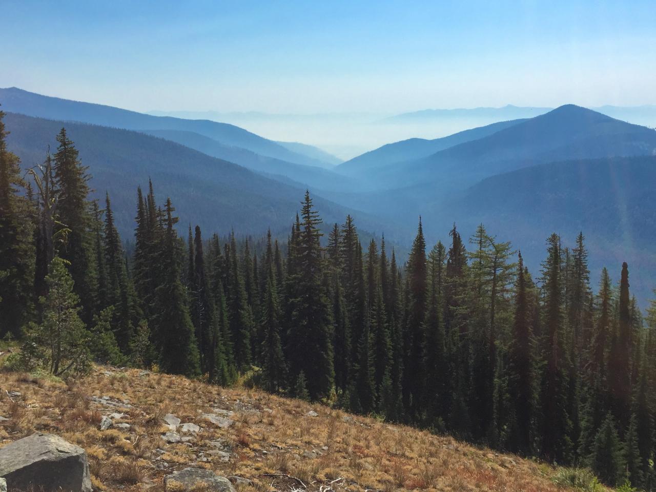
view east up Lion Creek from Lookout Mountain
view east from Lookout Mountain over Lions Ridge to the Selkirk Crest

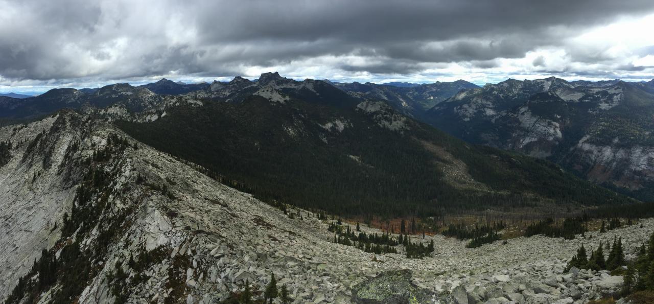
080831_013-View south from the summit of The Wigwams

view east up Lion Creek from Lookout Mountain
view east of the old fire lookout and Lion Creek towards the Selkirk Crest
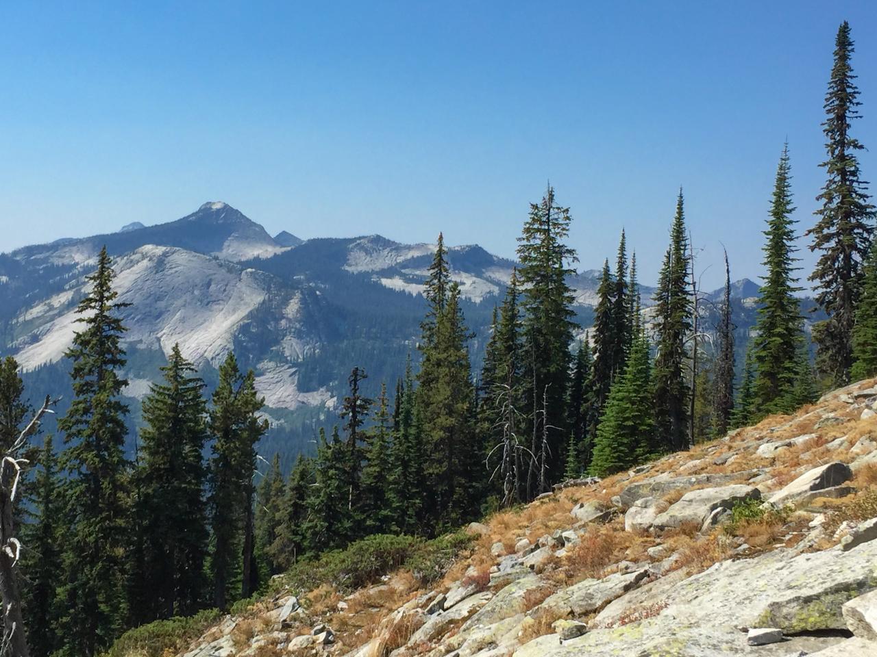
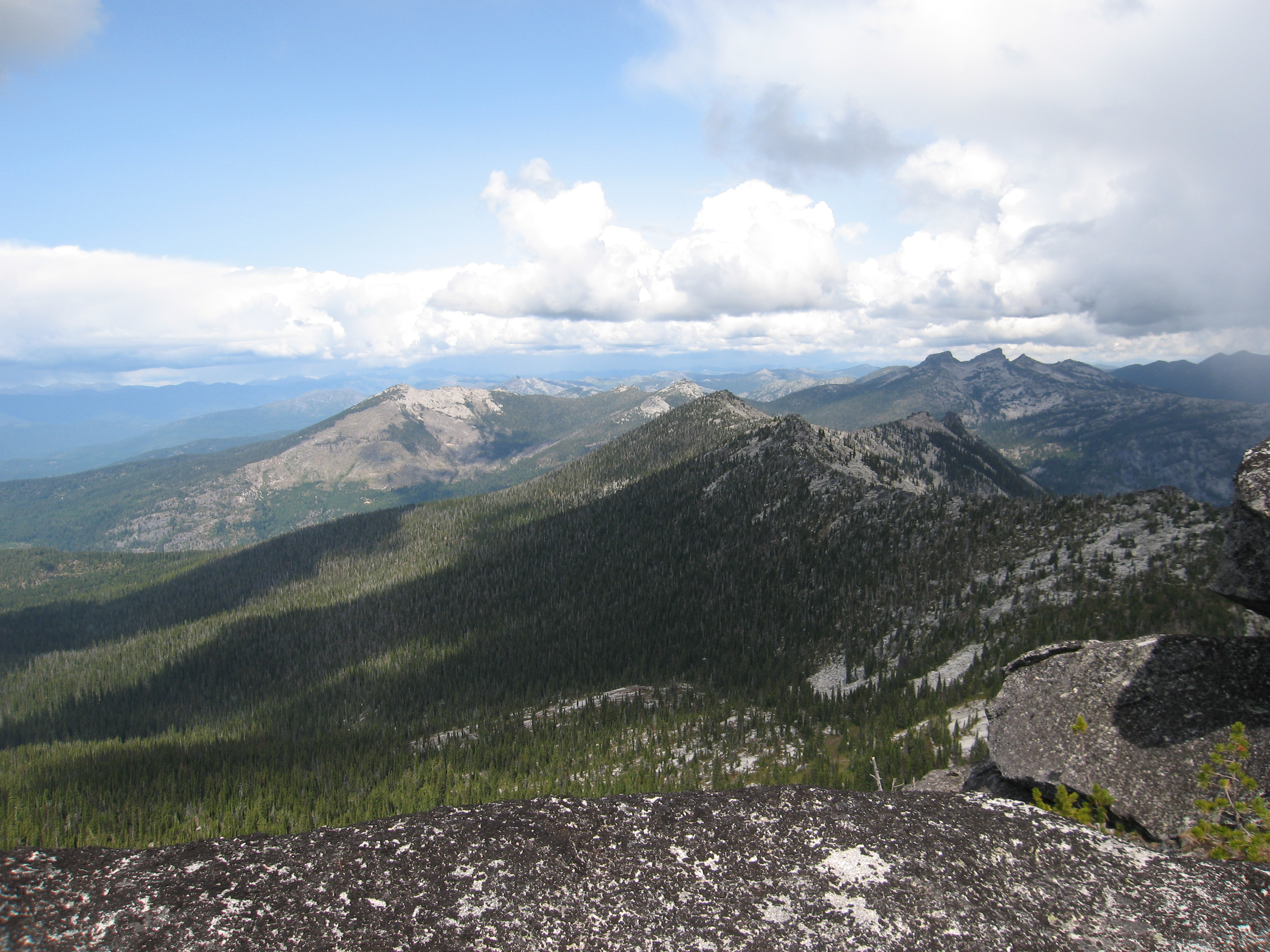
View south from Myrtle Peak to Harrison Peak
View east down Myrtle Creek from the trail to Myrtle Peak
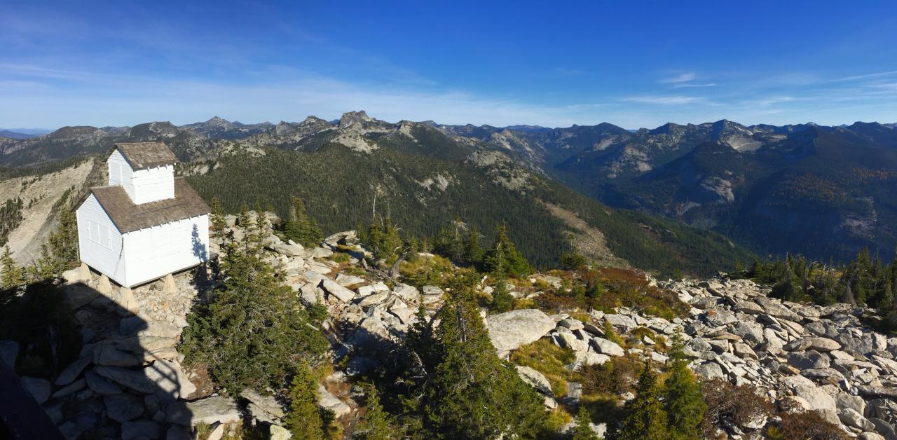
view east of the old fire lookout and Lion Creek towards the Selkirk Crest
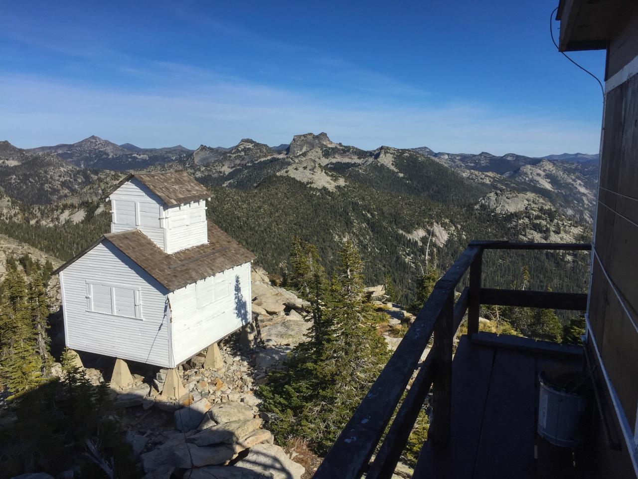
080831_017-View north from cache site
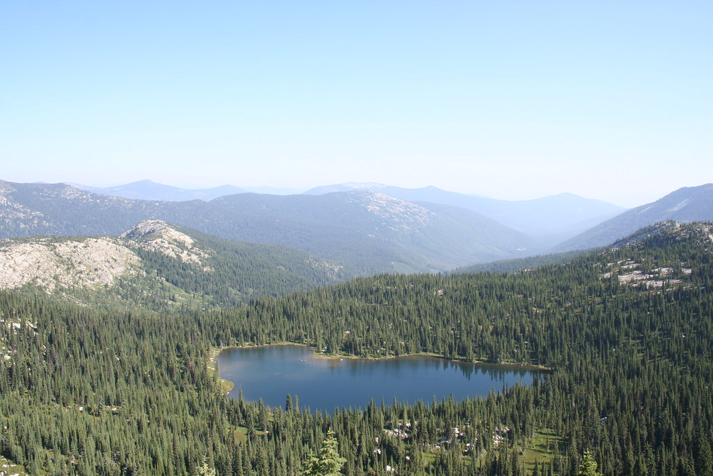
A View of West Fork Lake from the Top
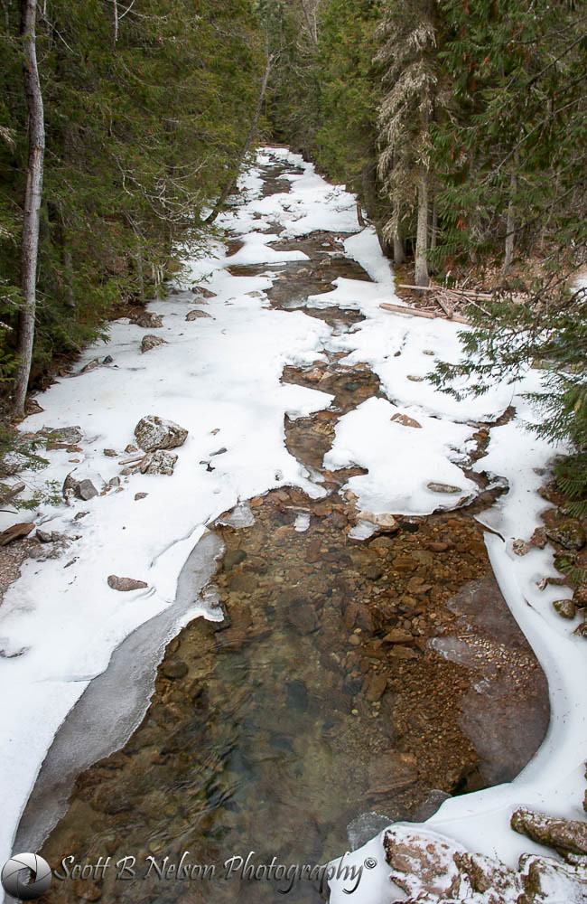
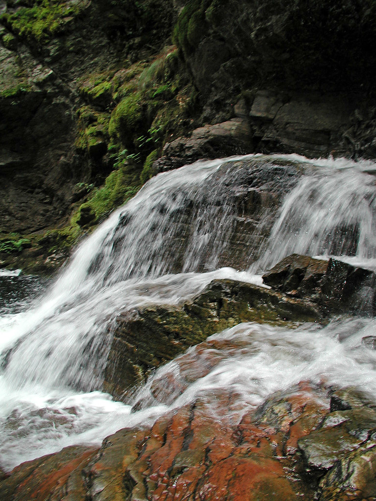
Icy Falls HDR
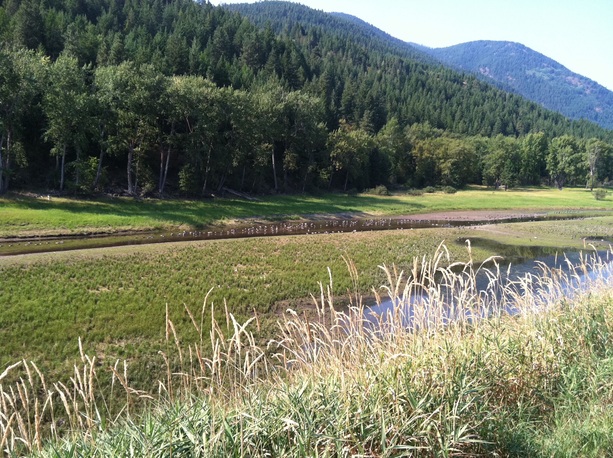
Kootenai Game Reserve, Bonners Ferry, Idaho
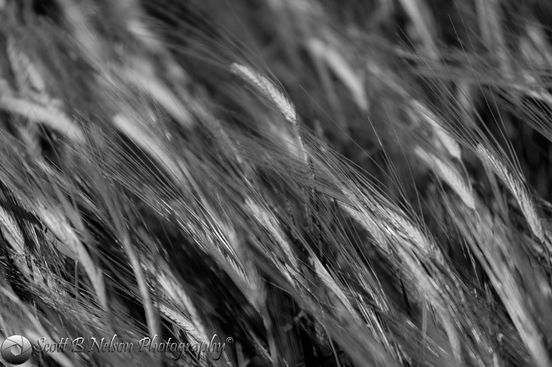
Wheat Black and White
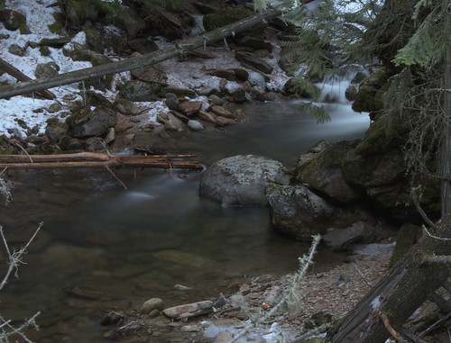
Crystal Creek, Kootenai Game Reserve, Bonners Ferry, Idaho

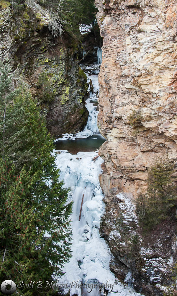
Ice Wall, Crystal Creek, Kootenai Game Reserve, Bonners Ferry, Idaho
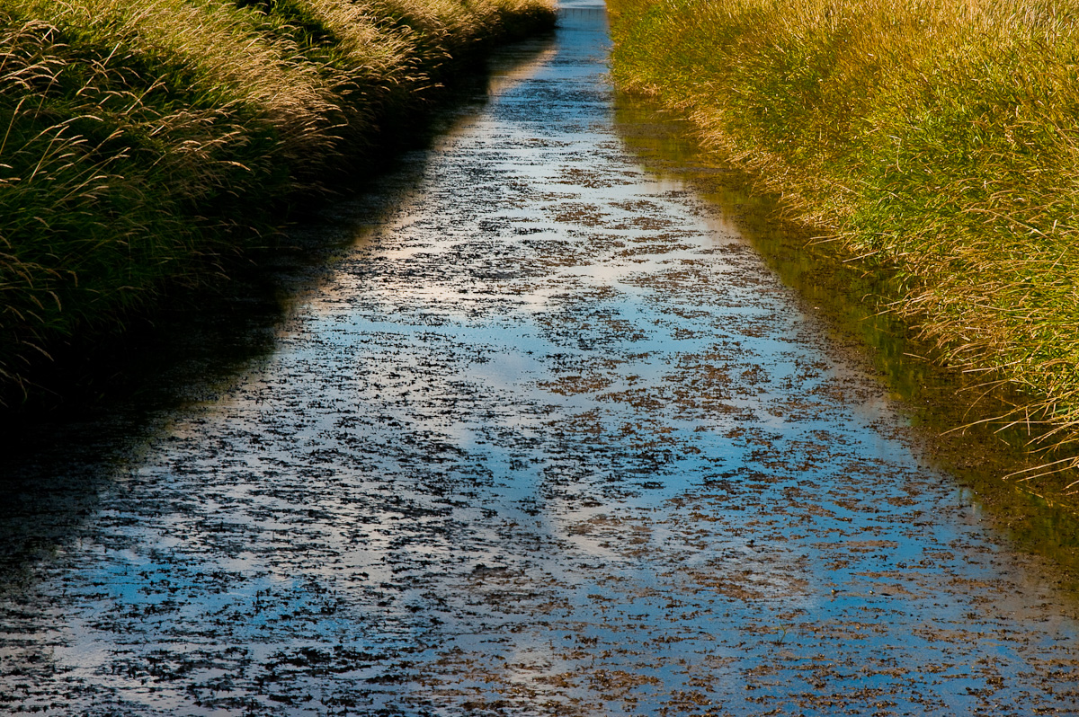
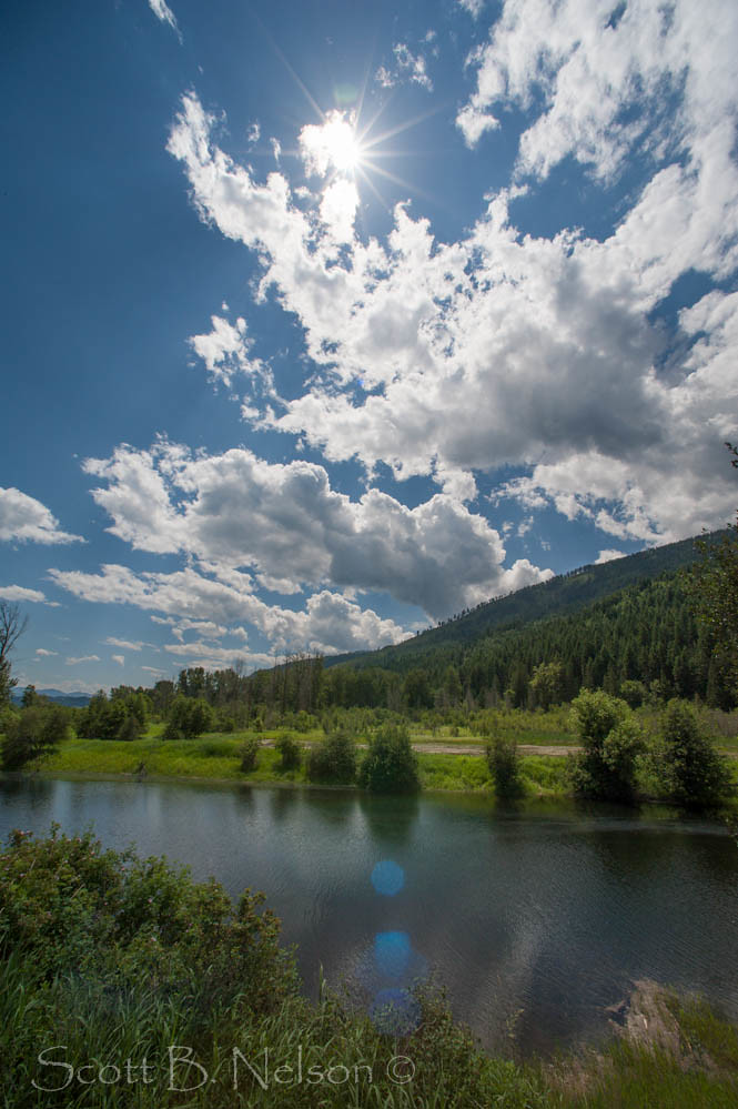
Kootenai Waters
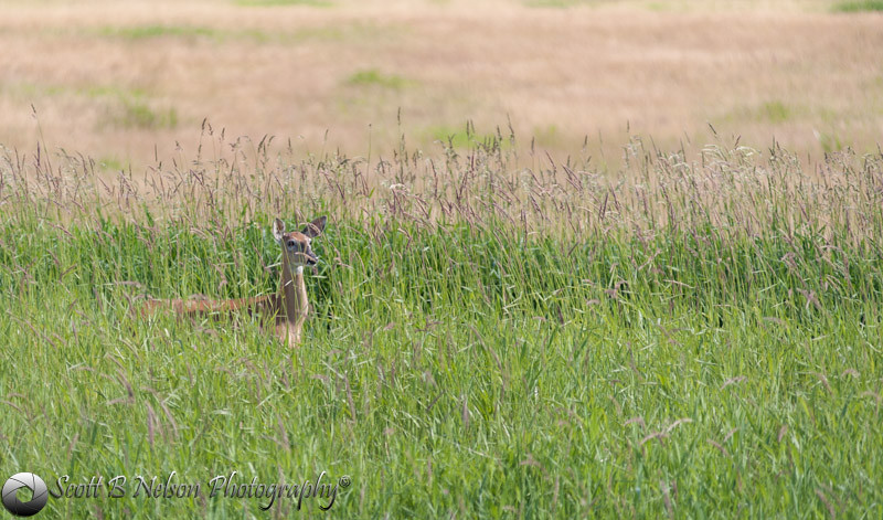
White Tailed Deer
Trees snapped from snow. Northern Idaho, Kootenai Game Reserve
On the Trail

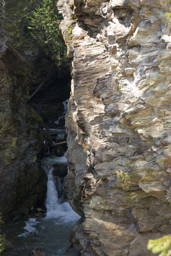
Crystal Creek Falls, Kootenai Game Reserve, Bonners Ferry, Idaho
Selkirk Dave 163
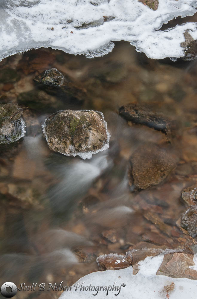
Iced Crystal Creek, Kootenai Game Reserve, Bonners Ferry, Idaho
Crystal Creek Falls, Kootenai Game Reserve, Bonners Ferry, Idaho
Myrtle Creek Falls
Love the Rustiness
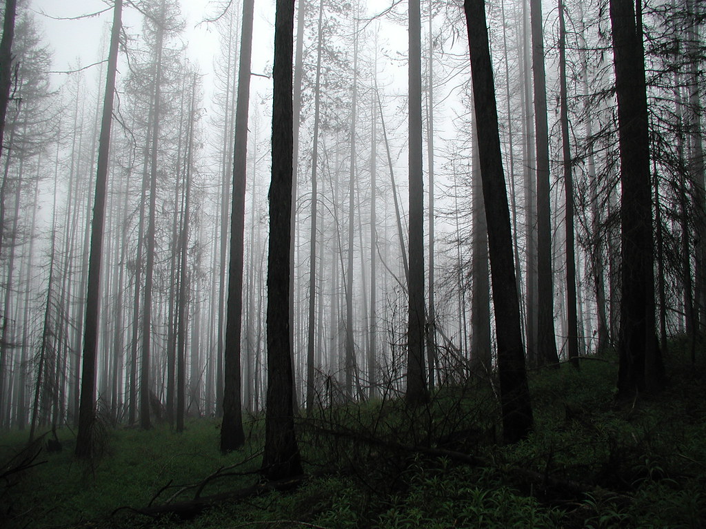
Spooky Trees
Topographic Map of Boundary County, ID, USA
Find elevation by address:

Places in Boundary County, ID, USA:
Places near Boundary County, ID, USA:
Boundary County Hp
Parker Peak
Farnham Peak
Eneas Peak
Harrison Peak
Smith Falls
Roman Nose Lakes
Myrtle Falls Trail
Ruby Creek Road
District 5 Rd, Bonners Ferry, ID, USA
Lone Tree Peak
3057 Farm To Market Rd
2425 Porthill Rd
139 Success Ln
1902 Leaning Tree Rd
188 Roman Nose Dr
188 Roman Nose Dr
188 Roman Nose Dr
188 Roman Nose Dr
Fawn Lane Farms
Recent Searches:
- Elevation of Gateway Blvd SE, Canton, OH, USA
- Elevation of East W.T. Harris Boulevard, E W.T. Harris Blvd, Charlotte, NC, USA
- Elevation of West Sugar Creek, Charlotte, NC, USA
- Elevation of Wayland, NY, USA
- Elevation of Steadfast Ct, Daphne, AL, USA
- Elevation of Lagasgasan, X+CQH, Tiaong, Quezon, Philippines
- Elevation of Rojo Ct, Atascadero, CA, USA
- Elevation of Flagstaff Drive, Flagstaff Dr, North Carolina, USA
- Elevation of Avery Ln, Lakeland, FL, USA
- Elevation of Woolwine, VA, USA