Elevation of 53 Leonia Rd, Troy, MT, USA
Location: United States > Montana > Troy >
Longitude: -116.02607
Latitude: 48.610969
Elevation: 687m / 2254feet
Barometric Pressure: 93KPa
Elevation Map:
Satellite Map:
Related Photos:
CrossportID 2010-07-11 0913.46PDT

Mr. T. is out catching fish
DSC_1626.jpg
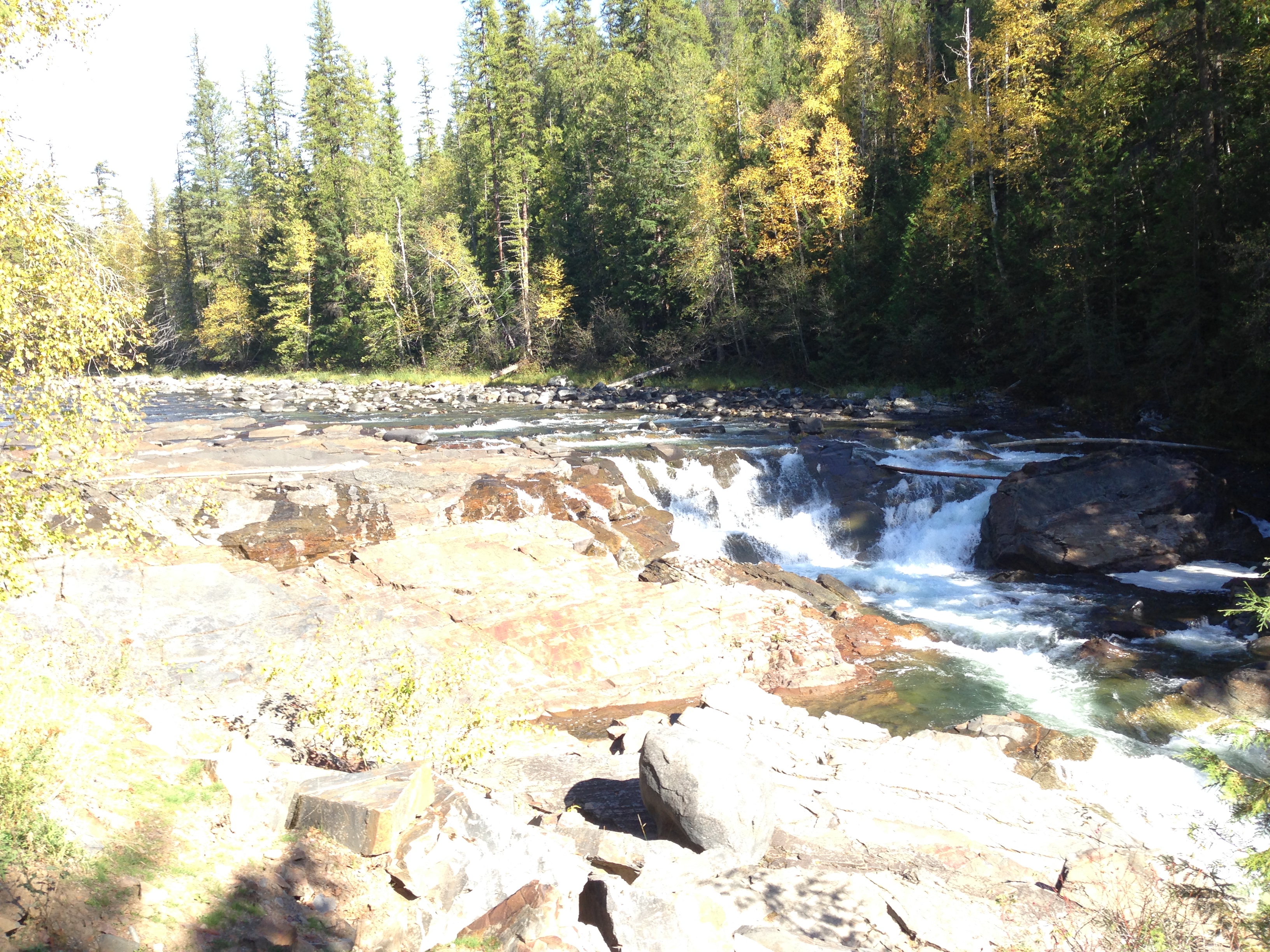
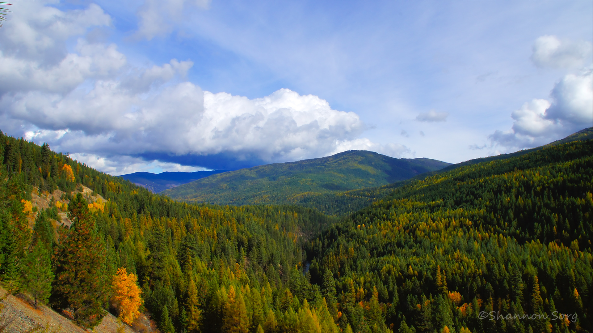
More falls
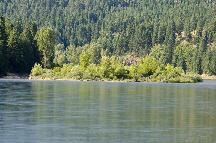
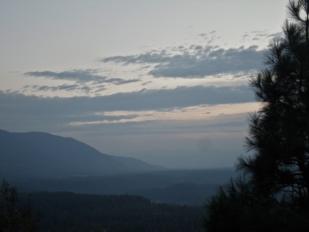
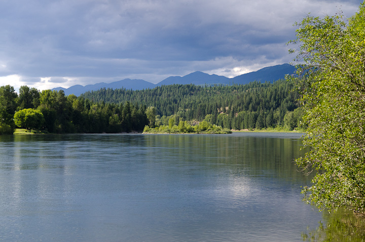
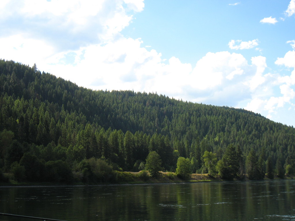
The Kootenai
Katka Overlook
DSC_1625.jpg

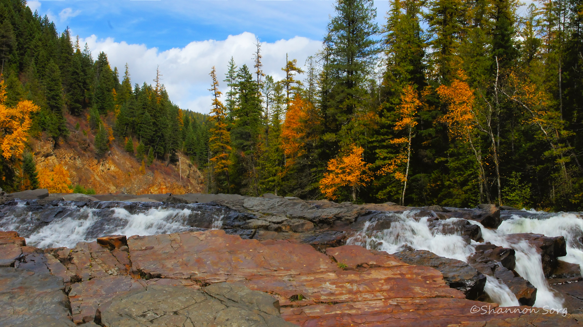
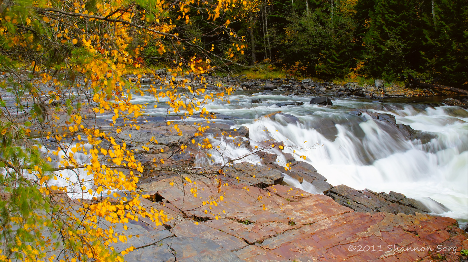
Yaak River Falls
DSC_1607.jpg
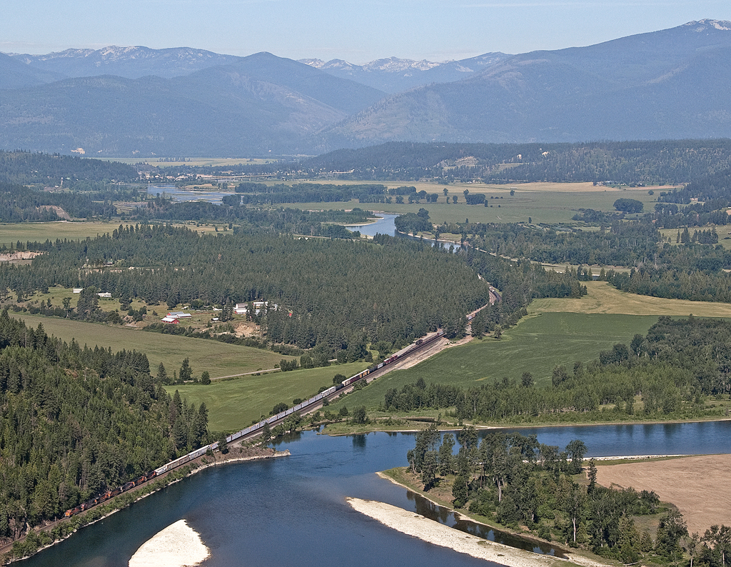
The Kootenai
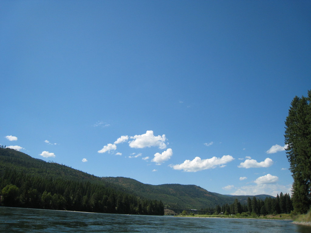
The Kootenai
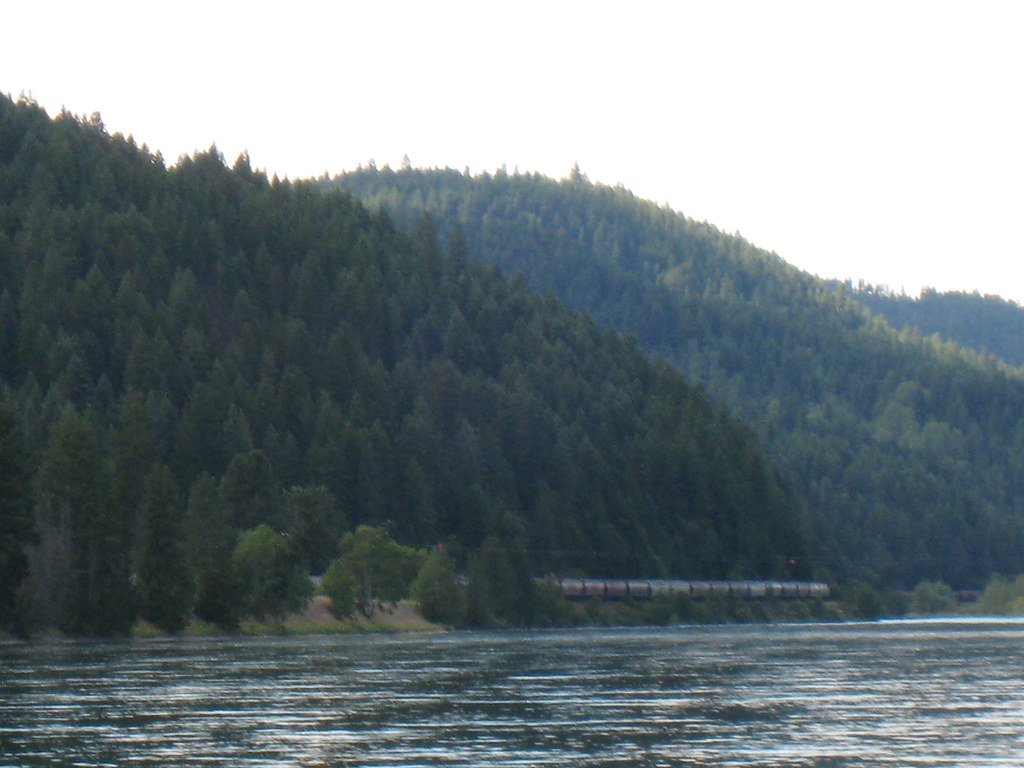
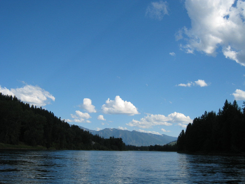
The river and the rails

Awesome falls

Yaak River Falls, Montana
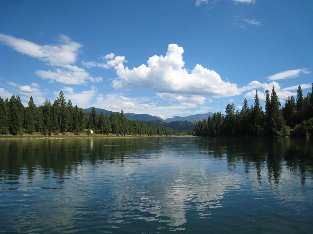
Yaak River 1

Yaak River 2
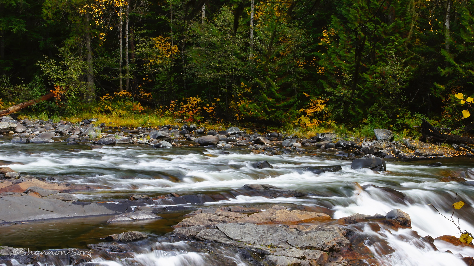
Yaak River 3
Yaak River 5
Montana North Hwy 508 2
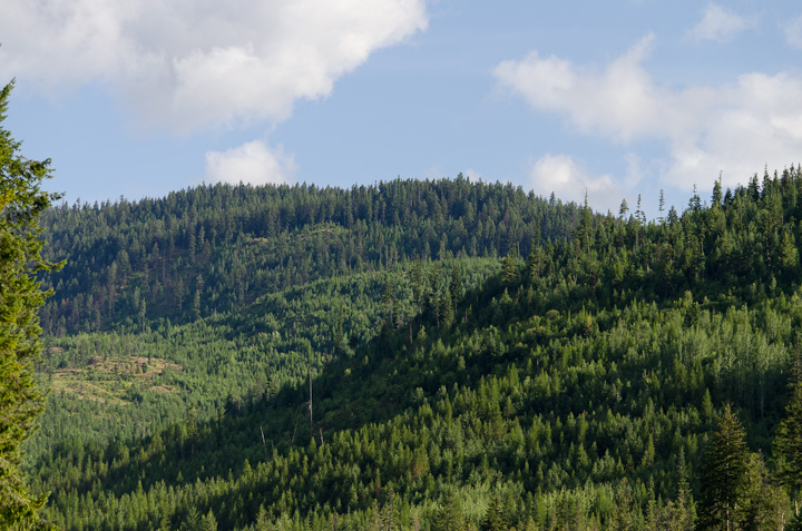
Forested splendor
Topographic Map of 53 Leonia Rd, Troy, MT, USA
Find elevation by address:

Places near 53 Leonia Rd, Troy, MT, USA:
4310 Us-2
142 Wolverine Rd
Yaak River Campground
77600 Us-2
1366 Curley Creek Rd
Yaak Mountain Lookout
2793 Katka Rd
8932 Yaak River Rd
14454 Yaak River Rd
Clifty Mountain
2766 Katka Rd
2766 Katka Rd
Moyie Springs
East Spokane Avenue
Troy
U.s. 2
U.s. 2
Quiet Place
455 French Point Dr
34 Arrowleaf Dr
Recent Searches:
- Elevation of 6 Rue Jules Ferry, Beausoleil, France
- Elevation of Sattva Horizon, 4JC6+G9P, Vinayak Nagar, Kattigenahalli, Bengaluru, Karnataka, India
- Elevation of Great Brook Sports, Gold Star Hwy, Groton, CT, USA
- Elevation of 10 Mountain Laurels Dr, Nashua, NH, USA
- Elevation of 16 Gilboa Ln, Nashua, NH, USA
- Elevation of Laurel Rd, Townsend, TN, USA
- Elevation of 3 Nestling Wood Dr, Long Valley, NJ, USA
- Elevation of Ilungu, Tanzania
- Elevation of Yellow Springs Road, Yellow Springs Rd, Chester Springs, PA, USA
- Elevation of Rēzekne Municipality, Latvia