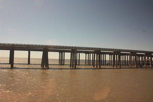
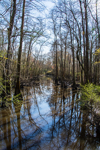
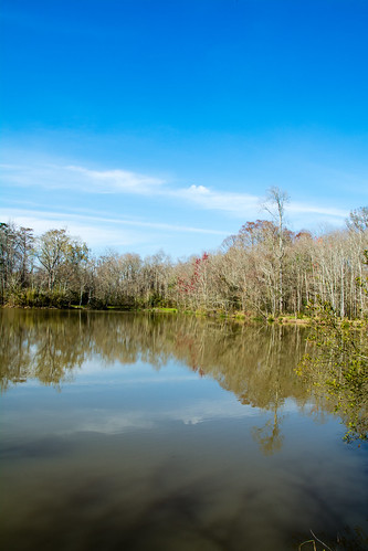
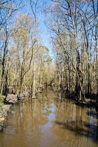
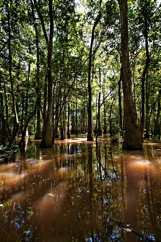
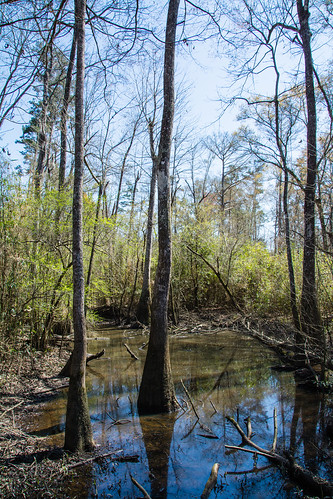
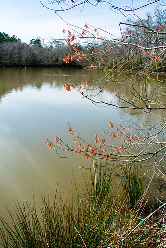
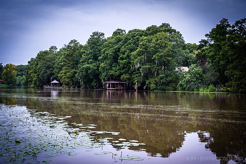
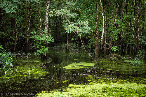
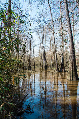
Elevation of Union Landing Rd, Livingston, LA, USA
Location: United States > Louisiana > Livingston Parish > >
Longitude: -90.694066
Latitude: 30.3217805
Elevation: 2m / 7feet
Barometric Pressure: 101KPa
Related Photos:
Topographic Map of Union Landing Rd, Livingston, LA, USA
Find elevation by address:

Places near Union Landing Rd, Livingston, LA, USA:
Herman Berthelot Rd, Maurepas, LA, USA
LA-, Springfield, LA, USA
22339 La-22
Maurepas
22343 La-22
LA-, Livingston, LA, USA
Catfish Landing Rd, Maurepas, LA, USA
Chene Blanc Lane
22756 Chene Blanc Ln
13165 Dove St
Vicknair Rd, Maurepas, LA, USA
S Frost Rd, Livingston, LA, USA
17184 Tchula Dr
20675 Riverside Rd
19829 La-42
15515 La-16
17595 Harvey Mcdonald Ln
17595 Harvey Mcdonald Ln
Frost School
14405 Rue Deschenes
Recent Searches:
- Elevation of Corso Fratelli Cairoli, 35, Macerata MC, Italy
- Elevation of Tallevast Rd, Sarasota, FL, USA
- Elevation of 4th St E, Sonoma, CA, USA
- Elevation of Black Hollow Rd, Pennsdale, PA, USA
- Elevation of Oakland Ave, Williamsport, PA, USA
- Elevation of Pedrógão Grande, Portugal
- Elevation of Klee Dr, Martinsburg, WV, USA
- Elevation of Via Roma, Pieranica CR, Italy
- Elevation of Tavkvetili Mountain, Georgia
- Elevation of Hartfords Bluff Cir, Mt Pleasant, SC, USA
