Elevation of Chene Blanc Lane, Chene Blanc Ln, Maurepas, LA, USA
Location: United States > Louisiana > Livingston Parish > > Maurepas >
Longitude: -90.696324
Latitude: 30.2597907
Elevation: -10000m / -32808feet
Barometric Pressure: 295KPa
Elevation Map:
Satellite Map:
Related Photos:
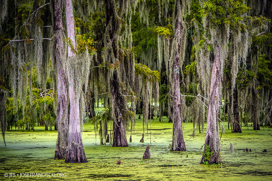
Maurepas Swamp [6506]

Head of Island [6332]

Head of Island [6262]

a DSC_0034

Amite River [6307]

Tickfaw-0382

Tickfaw-0458

Tickfaw-0395

Bayou Swamp

Cypress Knees-0292

Tickfaw River canoe trail

Tickfaw-0394

Tickfaw-0178
Tickfaw-0377
Tickfaw-0018

Tickfaw-0364

7363_7364 x2 copy

Tickfaw-0362

Tickfaw-0373

Tickfaw-0215

Cardinal-0102
Topographic Map of Chene Blanc Lane, Chene Blanc Ln, Maurepas, LA, USA
Find elevation by address:

Places near Chene Blanc Lane, Chene Blanc Ln, Maurepas, LA, USA:
22756 Chene Blanc Ln
13165 Dove St
22343 La-22
22339 La-22
Herman Berthelot Rd, Maurepas, LA, USA
Maurepas
Union Landing Rd, Livingston, LA, USA
Catfish Landing Rd, Maurepas, LA, USA
Vicknair Rd, Maurepas, LA, USA
LA-, Springfield, LA, USA
49123 La-22
LA-, Livingston, LA, USA
14405 Rue Deschenes
17605 Cline Dr
15515 La-16
15710 La-16
South Brignac Drive
Amite River Road
15645 La-16
15645 La-16
Recent Searches:
- Elevation of George St, New Bern, NC, USA
- Elevation of Cove Rd, Jasper, GA, USA
- Elevation of Cove Rd, Jasper, GA, USA
- Elevation of South Yankee Meadow Road, Forest Road, Paragonah, UT, USA
- Elevation of SW Elderview Dr, Sherwood, OR, USA
- Elevation of Hickory St, Greenville, NC, USA
- Elevation of Poplar Ln, Guffey, CO, USA
- Elevation of Falling Spring Rd, Clyde, NC, USA
- Elevation of Kingsfield St, Castle Rock, CO, USA
- Elevation of AMELIA CT HSE, VA, USA