Elevation of Dove St, Maurepas, LA, USA
Location: United States > Louisiana > Livingston Parish > > Maurepas >
Longitude: -90.714613
Latitude: 30.2585182
Elevation: 1m / 3feet
Barometric Pressure: 101KPa
Elevation Map:
Satellite Map:
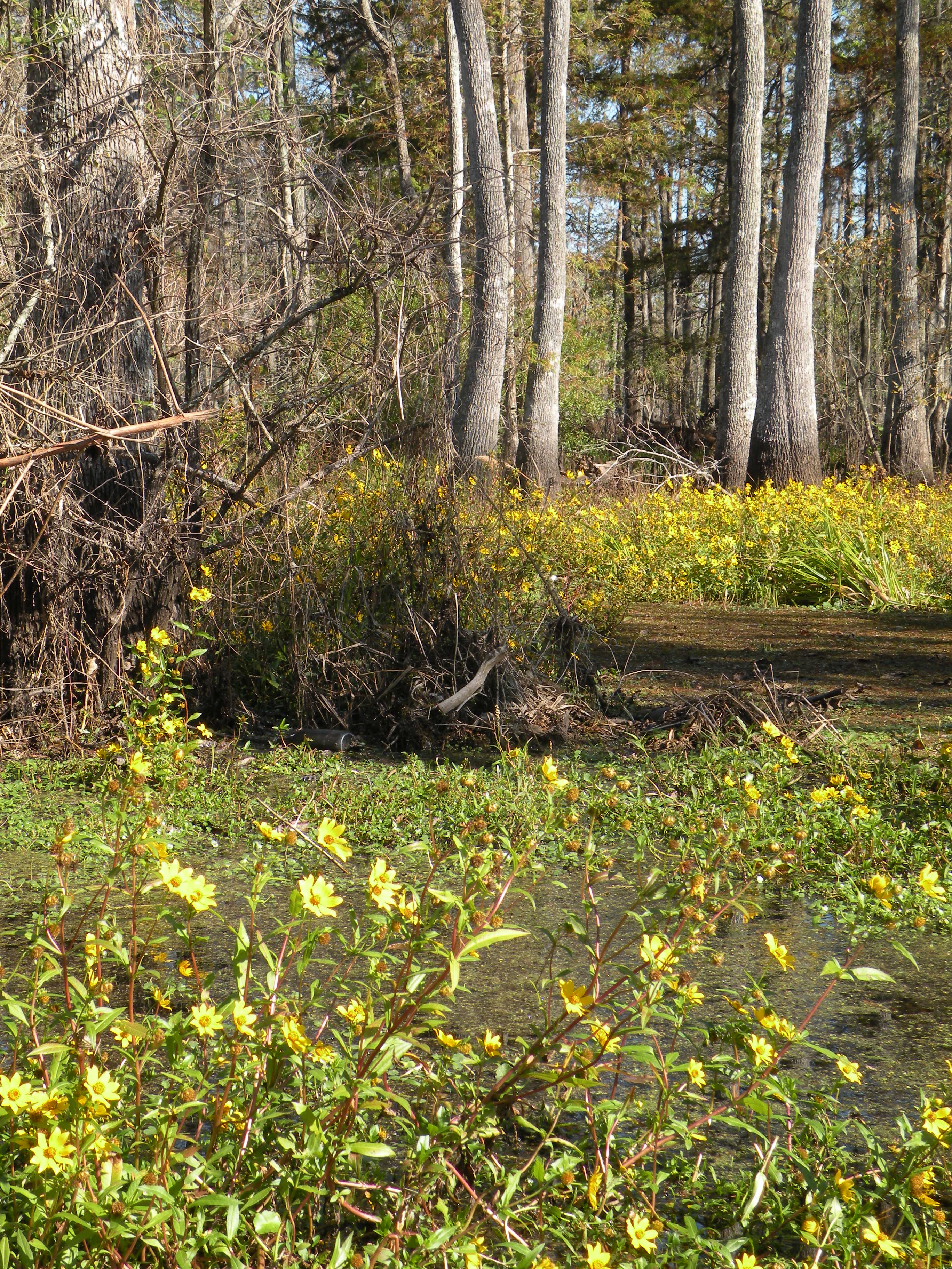
Related Photos:
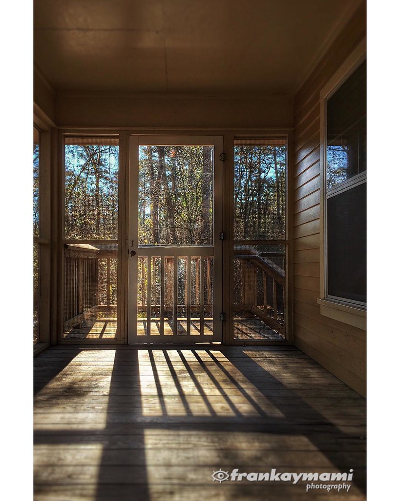
View from our cabin porch this morning.
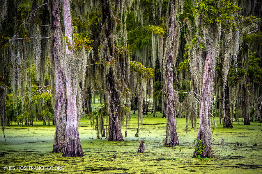
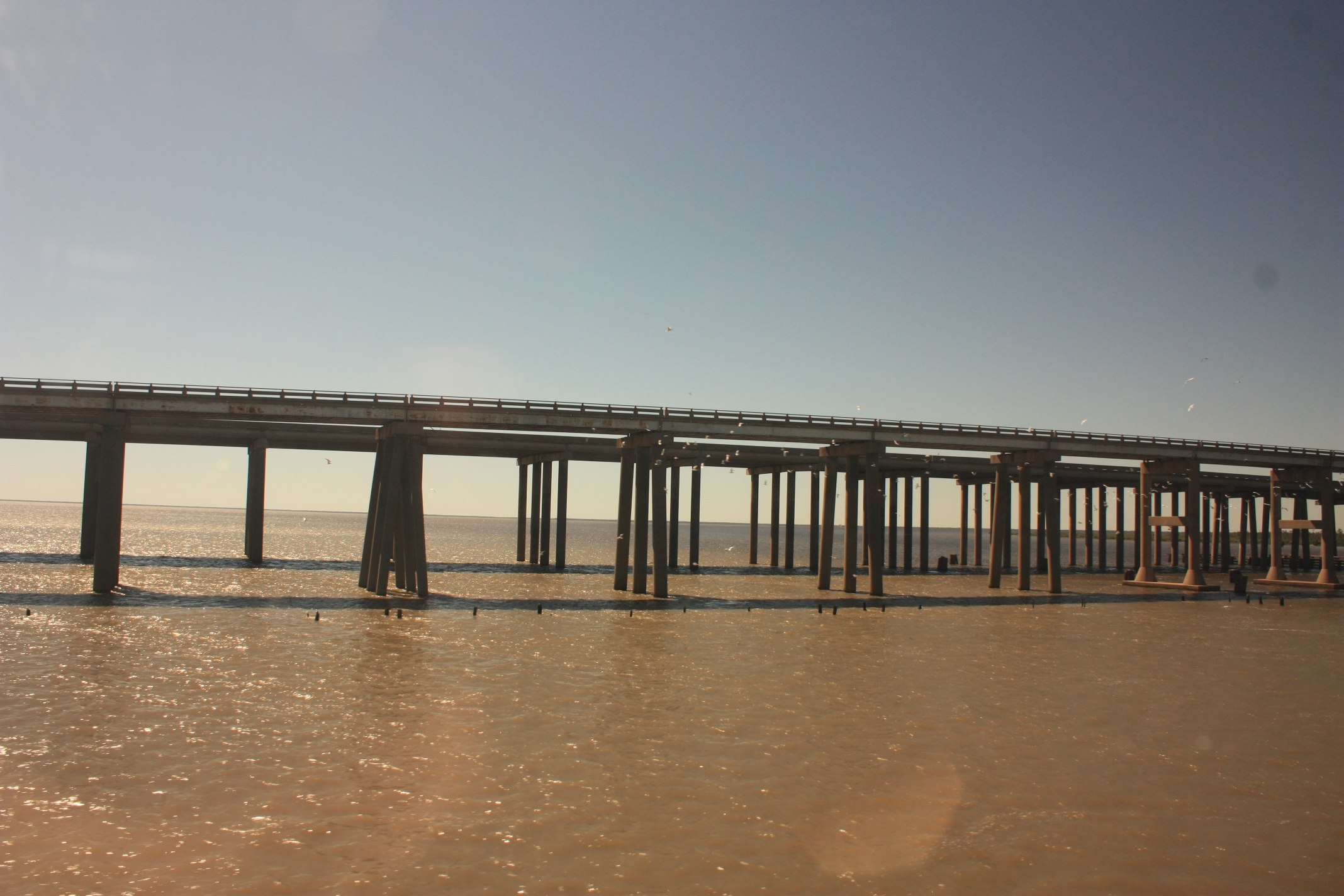
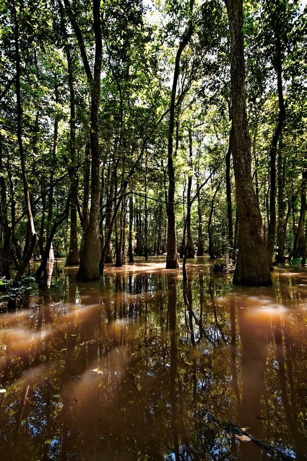
Maurepas Swamp [6506]
Head of Island [6332]
Tickfaw-0382
IMG_5754 (329 / 472)
Tickfaw-0458
Tickfaw-0395

Tickfaw-0394
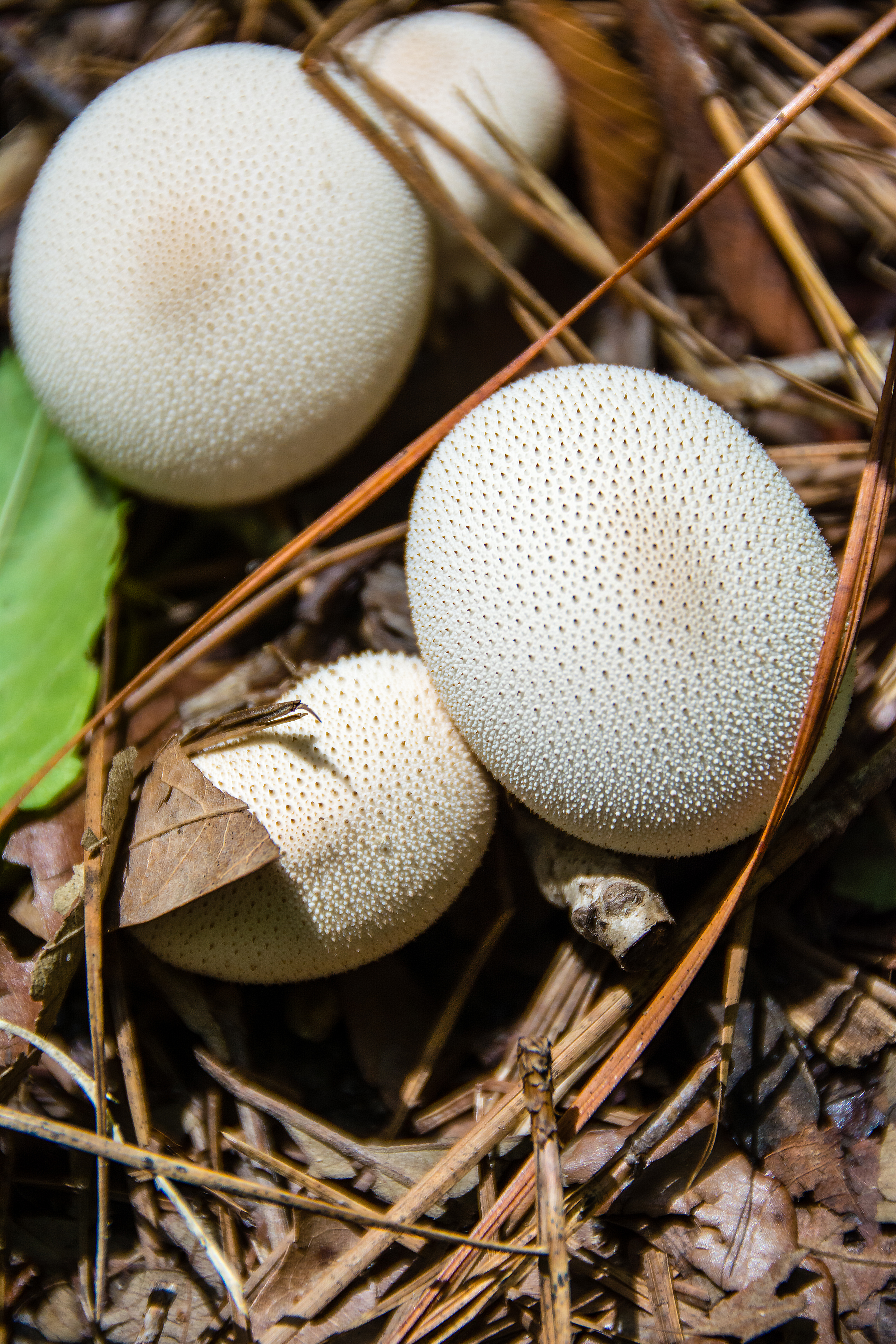
White Mushrooms
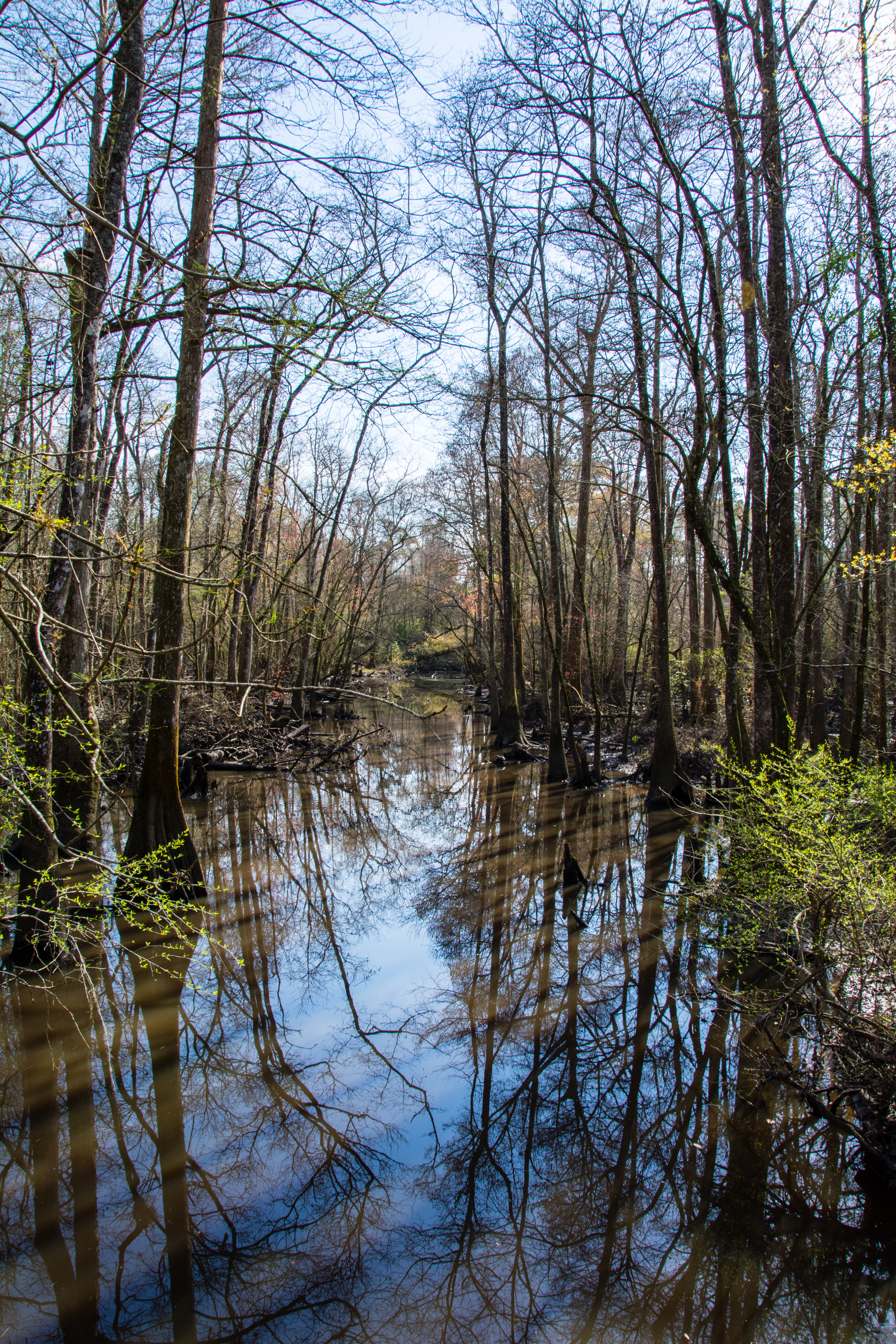
river or swamp?

Tickfaw-0018
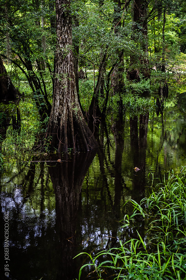
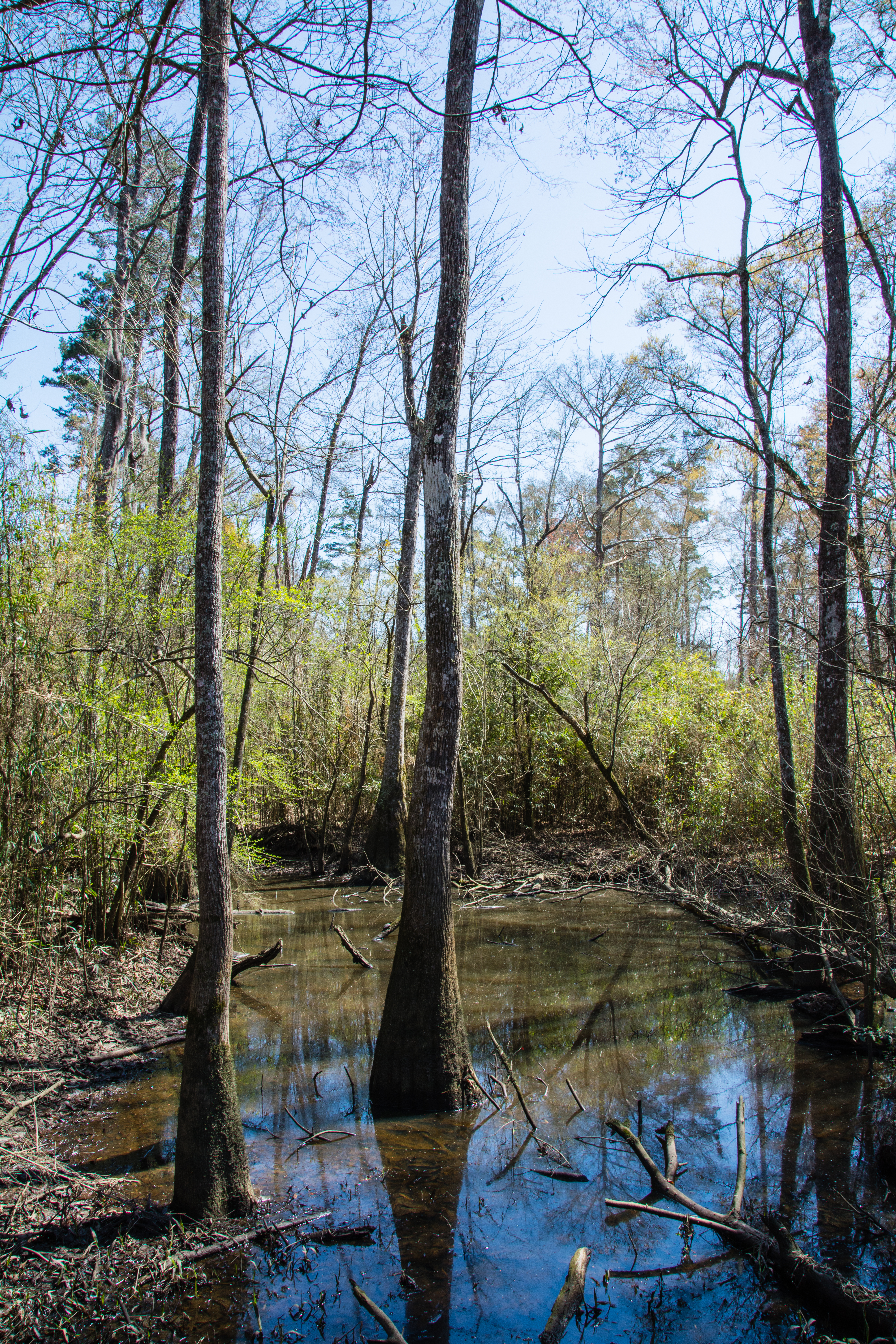
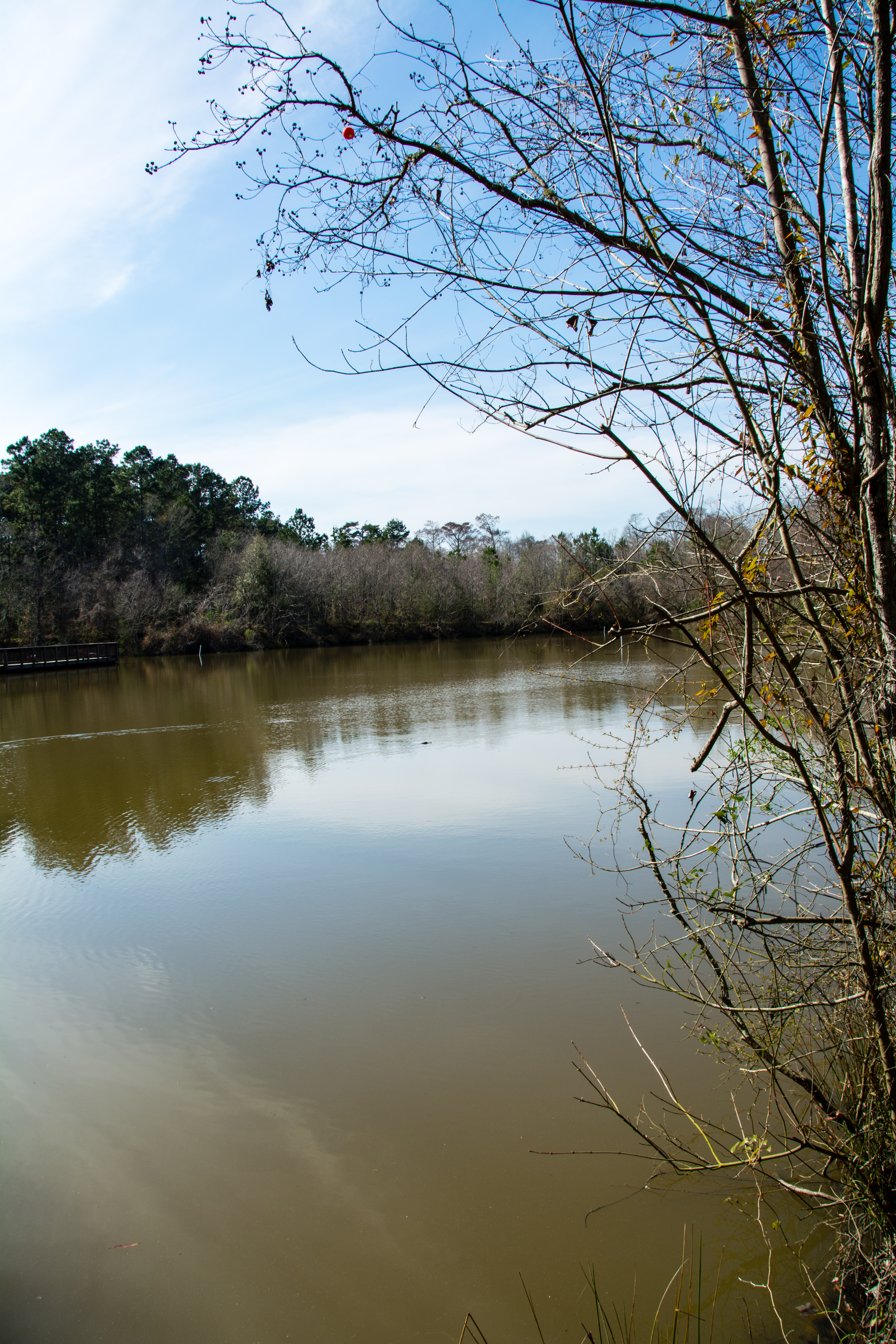
Bayou Swamp
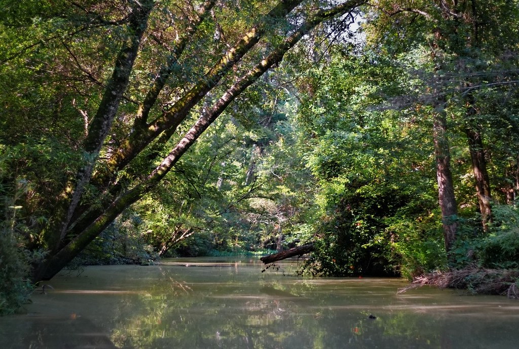
Tickfaw River canoe trail
Tickfaw-0178
Tickfaw-0377
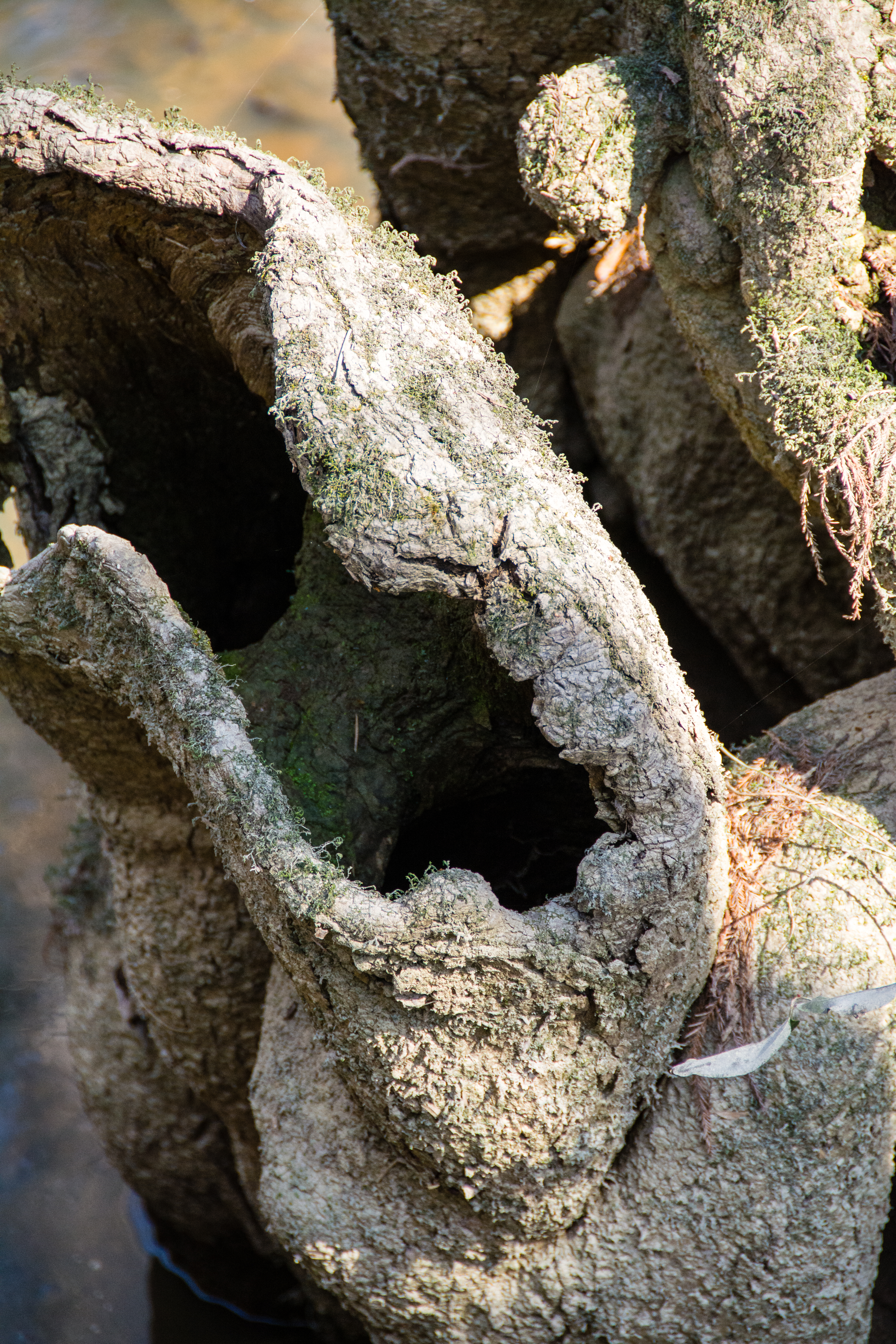
Cypress Knees-0292

Tickfaw-0373

Tickfaw-0364
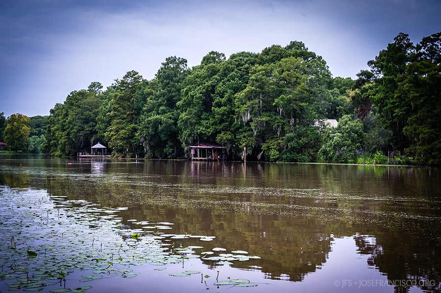
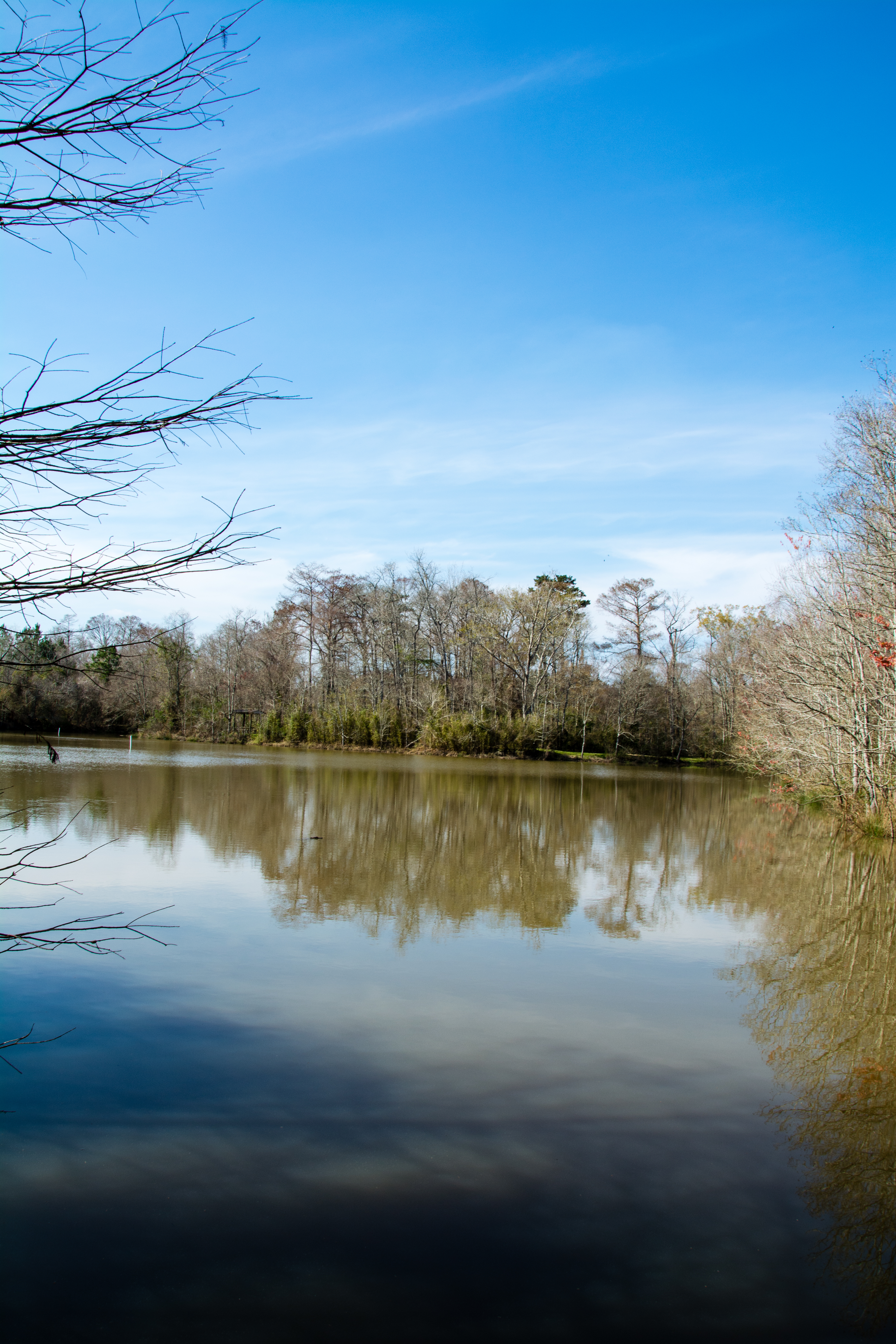
Amite River [6308]

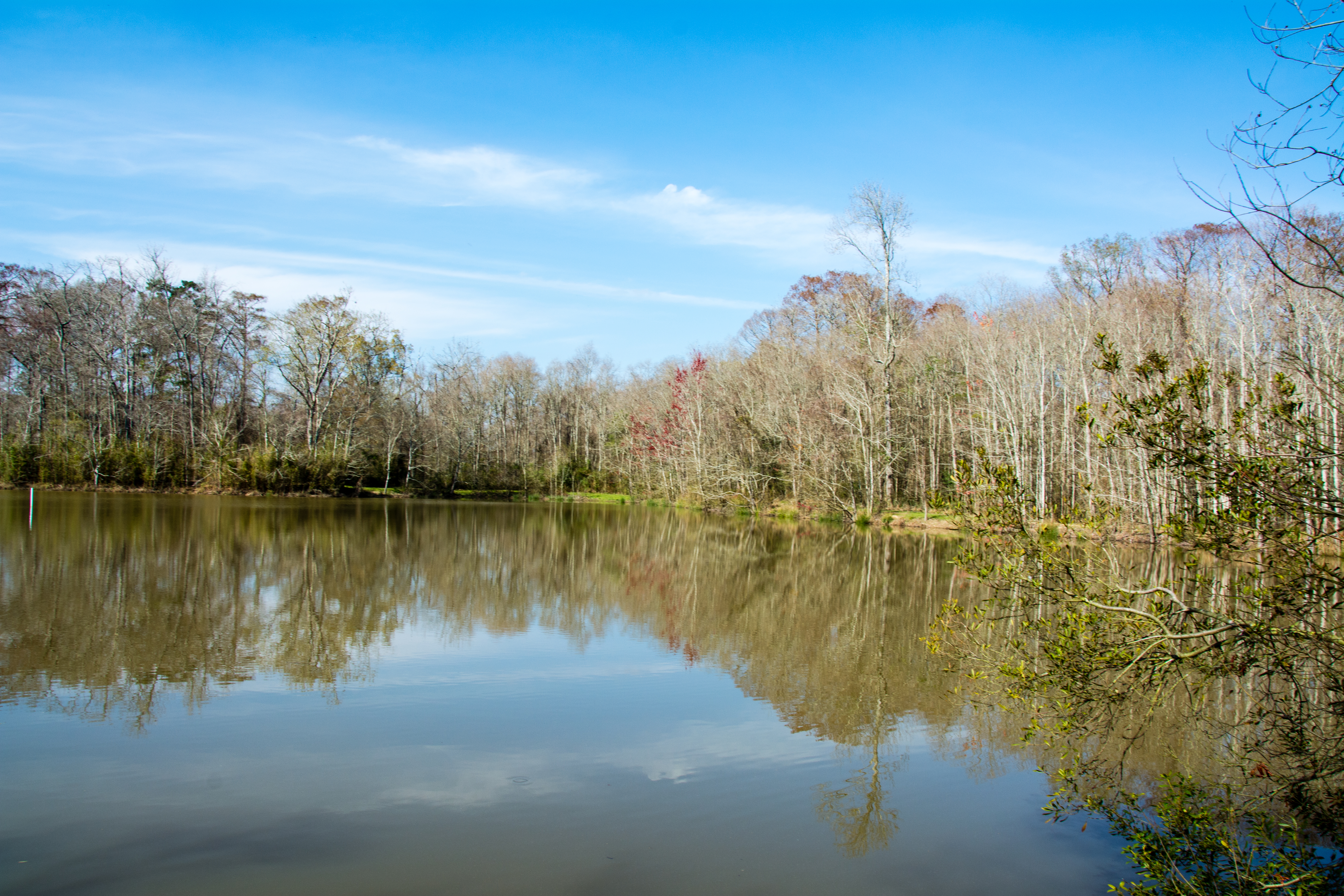
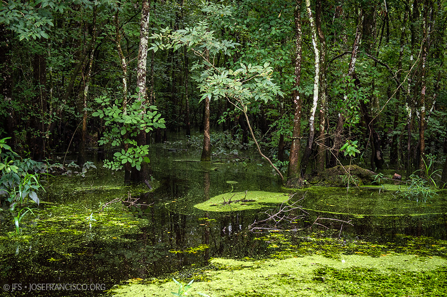
Green Swamp

Honey Bee-0022
Head of Island [6262]
Topographic Map of Dove St, Maurepas, LA, USA
Find elevation by address:

Places near Dove St, Maurepas, LA, USA:
22343 La-22
22339 La-22
Vicknair Rd, Maurepas, LA, USA
49123 La-22
14405 Rue Deschenes
17605 Cline Dr
15515 La-16
15710 La-16
LA-, Livingston, LA, USA
South Brignac Drive
Amite River Road
15645 La-16
15645 La-16
French Settlement
15810 La-16
16460 Delia St
15933 Cypress Point Ln
Dufour Road
17595 Harvey Mcdonald Ln
17595 Harvey Mcdonald Ln
Recent Searches:
- Elevation of 7 Waterfall Way, Tomball, TX, USA
- Elevation of SW 57th Ave, Portland, OR, USA
- Elevation of Crocker Dr, Vacaville, CA, USA
- Elevation of Pu Ngaol Community Meeting Hall, HWHM+3X7, Krong Saen Monourom, Cambodia
- Elevation of Royal Ontario Museum, Queens Park, Toronto, ON M5S 2C6, Canada
- Elevation of Groblershoop, South Africa
- Elevation of Power Generation Enterprises | Industrial Diesel Generators, Oak Ave, Canyon Country, CA, USA
- Elevation of Chesaw Rd, Oroville, WA, USA
- Elevation of N, Mt Pleasant, UT, USA
- Elevation of 6 Rue Jules Ferry, Beausoleil, France