Elevation of Delia St, French Settlement, LA, USA
Location: United States > Louisiana > Livingston Parish > > French Settlement >
Longitude: -90.810371
Latitude: 30.3227242
Elevation: 3m / 10feet
Barometric Pressure: 101KPa
Elevation Map:
Satellite Map:
Related Photos:
leet balcony
Juban Parc Elemenary School View From Rosedale Avenue Denham Springs LA 70726 Juban Parc Subdivision
Head of Island [6332]
IMG_5754 (329 / 472)
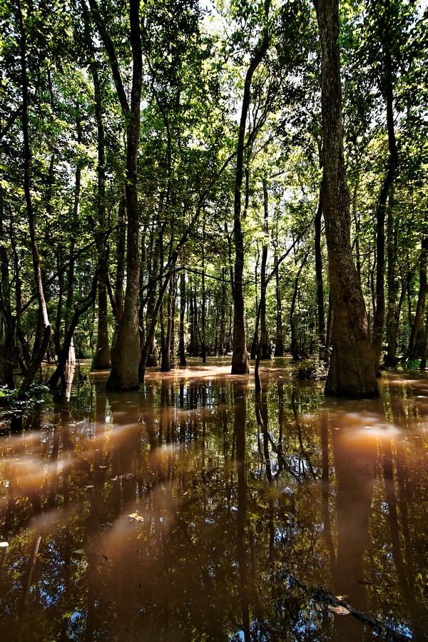
river or swamp?
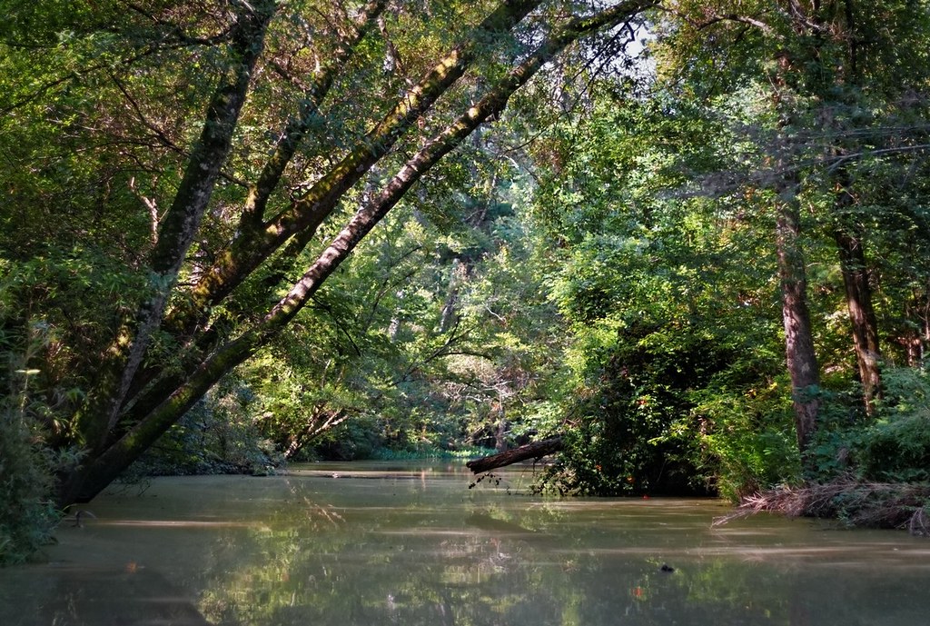
Tickfaw River canoe trail
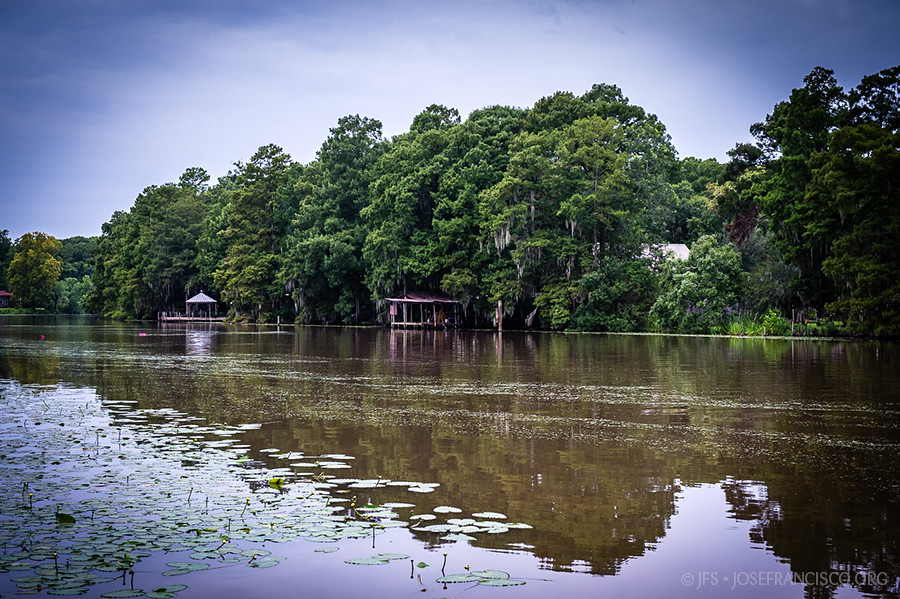
Amite River [6308]
Head of Island [6262]
Amite River [6307]

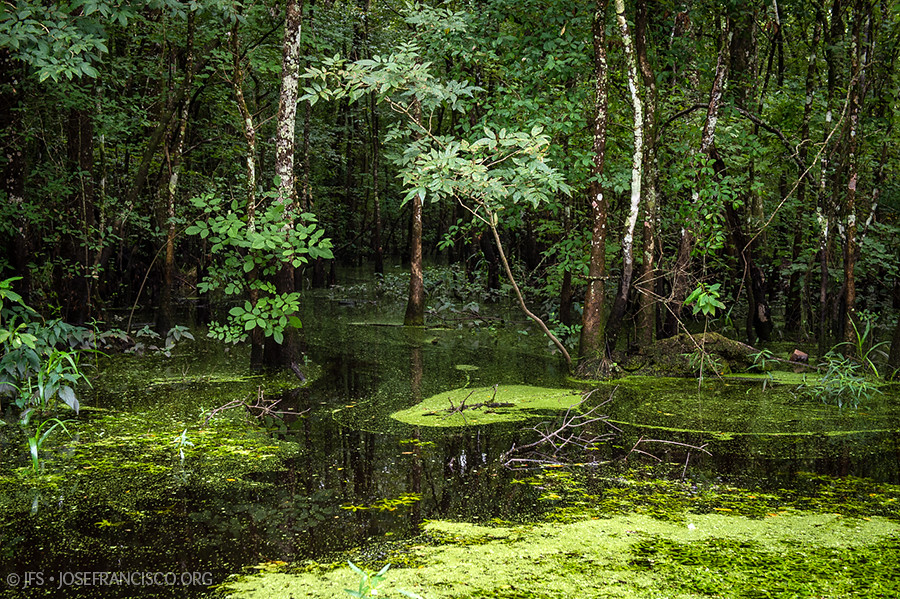
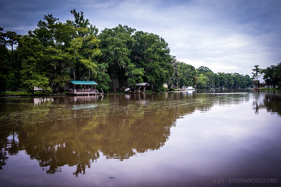
French Settlement Swamp
Topographic Map of Delia St, French Settlement, LA, USA
Find elevation by address:

Places near Delia St, French Settlement, LA, USA:
Dufour Road
17755 Cove Ln
15933 Cypress Point Ln
15810 La-16
French Settlement
15645 La-16
15645 La-16
South Brignac Drive
15515 La-16
15710 La-16
17595 Harvey Mcdonald Ln
17595 Harvey Mcdonald Ln
Port Vincent
19000 La-16
45073 Spellman Wall Rd
17252 Summerfield Rd
45073 Spellman Wall Rd
45073 Spellman Wall Rd
19440 La-16
19440 La-16
Recent Searches:
- Elevation of 7 Waterfall Way, Tomball, TX, USA
- Elevation of SW 57th Ave, Portland, OR, USA
- Elevation of Crocker Dr, Vacaville, CA, USA
- Elevation of Pu Ngaol Community Meeting Hall, HWHM+3X7, Krong Saen Monourom, Cambodia
- Elevation of Royal Ontario Museum, Queens Park, Toronto, ON M5S 2C6, Canada
- Elevation of Groblershoop, South Africa
- Elevation of Power Generation Enterprises | Industrial Diesel Generators, Oak Ave, Canyon Country, CA, USA
- Elevation of Chesaw Rd, Oroville, WA, USA
- Elevation of N, Mt Pleasant, UT, USA
- Elevation of 6 Rue Jules Ferry, Beausoleil, France