Elevation of Herman Berthelot Rd, Maurepas, LA, USA
Location: United States > Louisiana > Livingston Parish > > Maurepas >
Longitude: -90.692371
Latitude: 30.3018216
Elevation: 3m / 10feet
Barometric Pressure: 101KPa
Elevation Map:
Satellite Map:
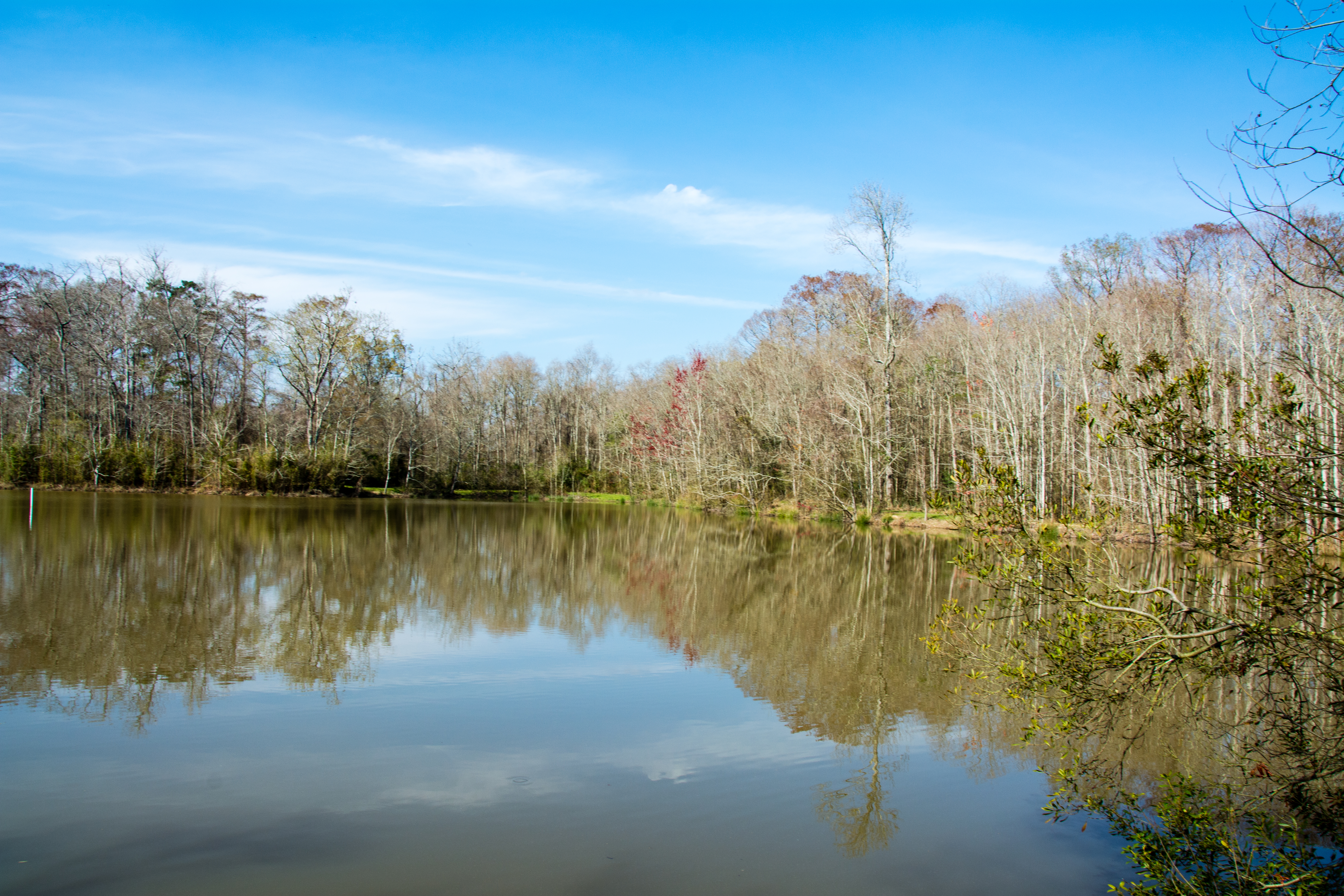
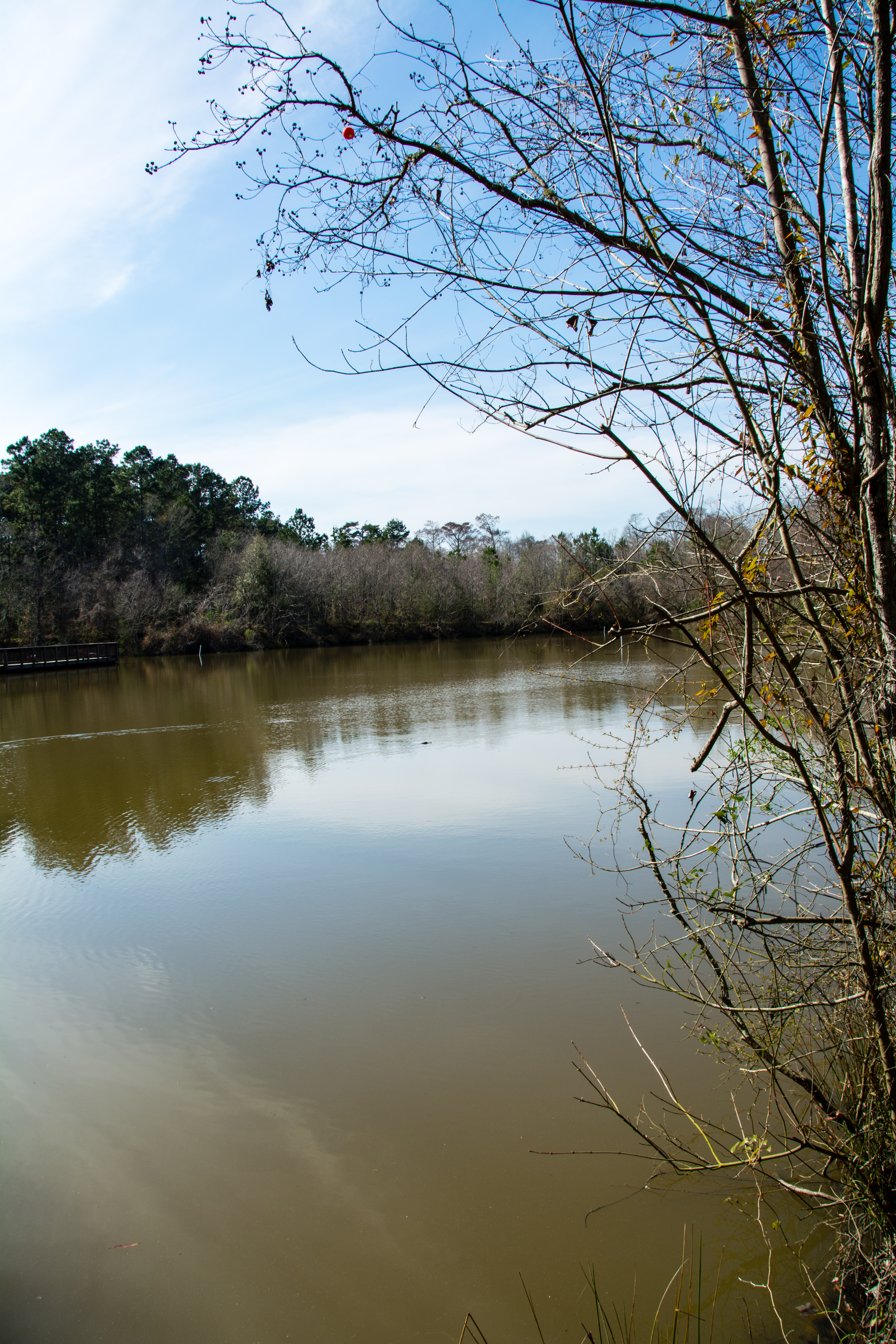
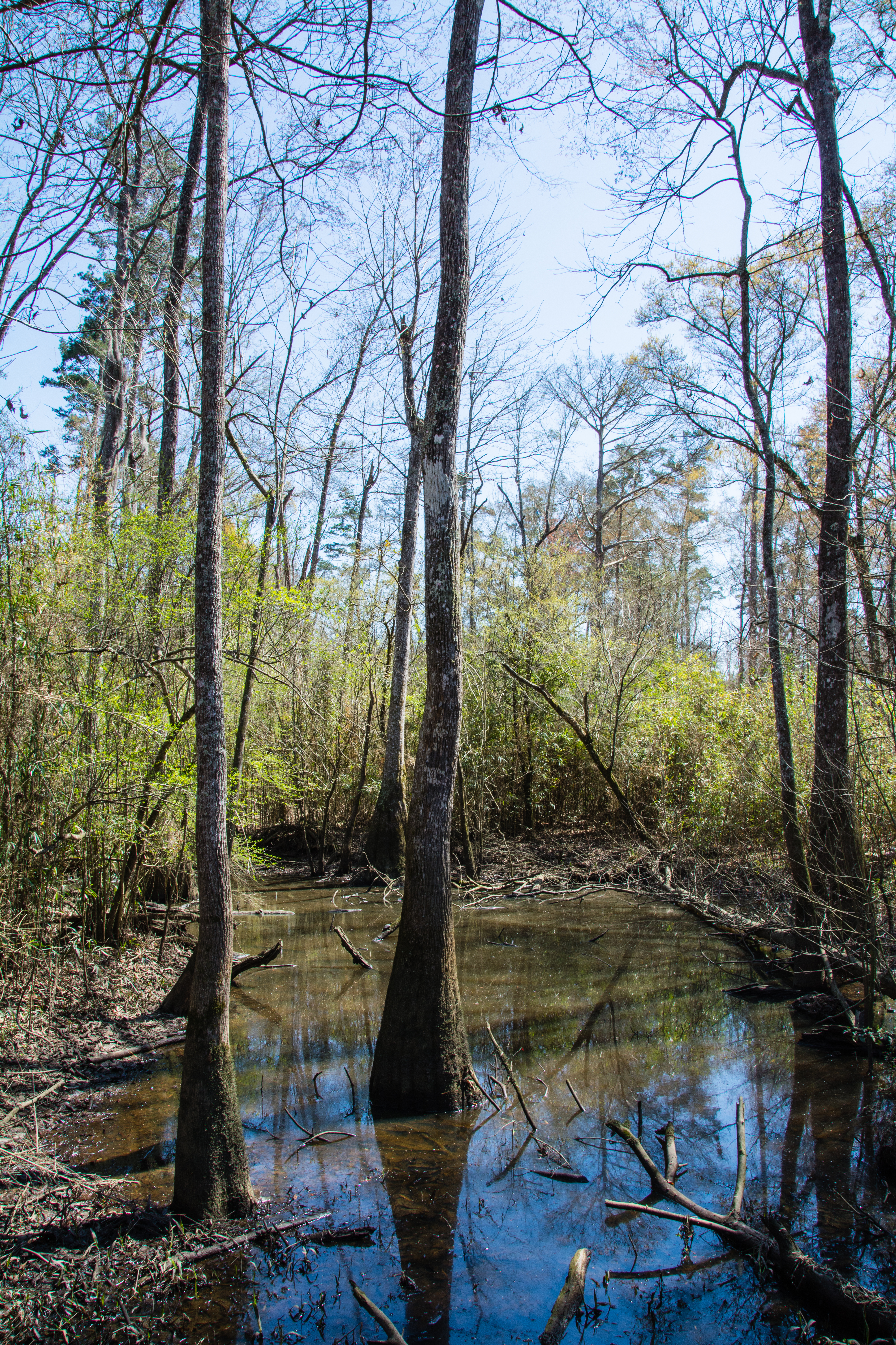
Related Photos:
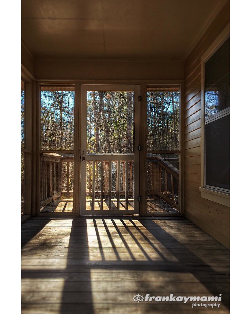
View from our cabin porch this morning.

Head of Island [6332]
Tickfaw-0382
IMG_5754 (329 / 472)
Tickfaw-0458
Tickfaw-0395

Tickfaw-0394

White Mushrooms

Tickfaw-0018

river or swamp?
Tickfaw-0377

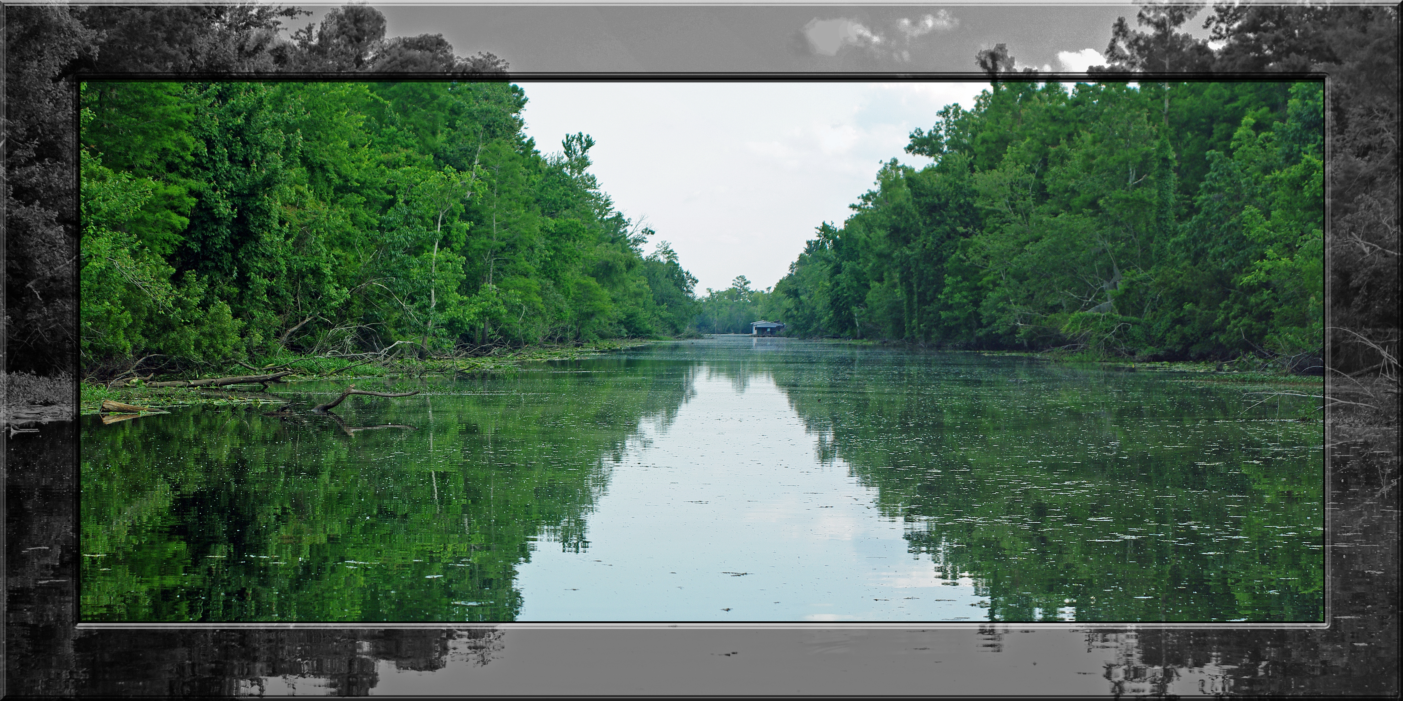
Tickfaw River canoe trail
Tickfaw-0178

Tickfaw-0364
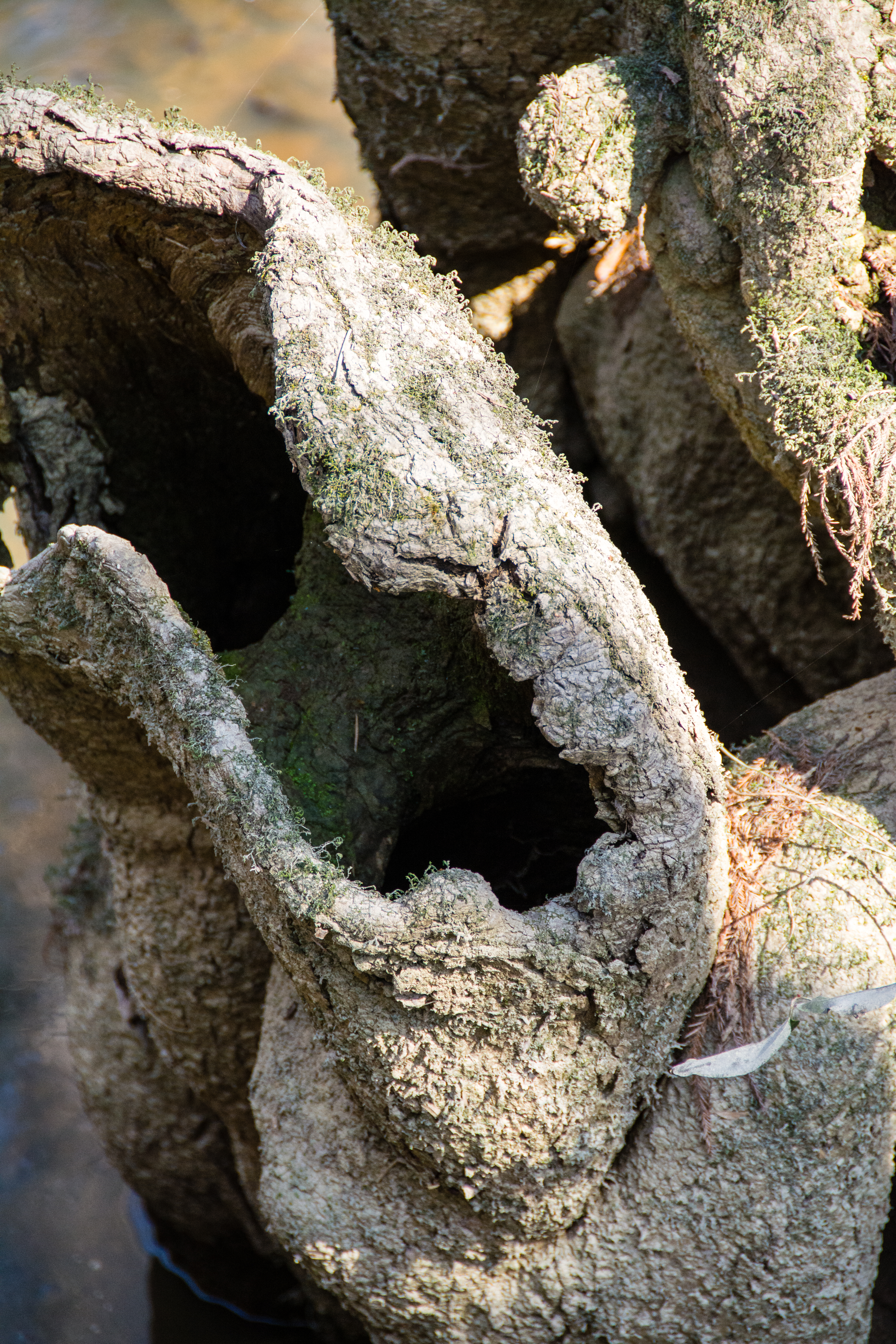
Cypress Knees-0292

Tickfaw-0373

Amite River [6308]

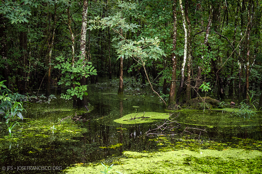
Green Swamp

Honey Bee-0022
Head of Island [6262]

Tickfaw-0362
7363_7364 x2 copy
Topographic Map of Herman Berthelot Rd, Maurepas, LA, USA
Find elevation by address:

Places near Herman Berthelot Rd, Maurepas, LA, USA:
Union Landing Rd, Livingston, LA, USA
22339 La-22
22343 La-22
Maurepas
LA-, Springfield, LA, USA
Chene Blanc Lane
22756 Chene Blanc Ln
Catfish Landing Rd, Maurepas, LA, USA
13165 Dove St
LA-, Livingston, LA, USA
Vicknair Rd, Maurepas, LA, USA
17184 Tchula Dr
14405 Rue Deschenes
15515 La-16
South Brignac Drive
15710 La-16
15645 La-16
15645 La-16
French Settlement
29670 Amite Acres Dr
Recent Searches:
- Elevation of Corso Fratelli Cairoli, 35, Macerata MC, Italy
- Elevation of Tallevast Rd, Sarasota, FL, USA
- Elevation of 4th St E, Sonoma, CA, USA
- Elevation of Black Hollow Rd, Pennsdale, PA, USA
- Elevation of Oakland Ave, Williamsport, PA, USA
- Elevation of Pedrógão Grande, Portugal
- Elevation of Klee Dr, Martinsburg, WV, USA
- Elevation of Via Roma, Pieranica CR, Italy
- Elevation of Tavkvetili Mountain, Georgia
- Elevation of Hartfords Bluff Cir, Mt Pleasant, SC, USA