Elevation of Chene Blanc Ln, Maurepas, LA, USA
Location: United States > Louisiana > Livingston Parish > > Maurepas >
Longitude: -90.702423
Latitude: 30.2597934
Elevation: 1m / 3feet
Barometric Pressure: 101KPa
Elevation Map:
Satellite Map:
Related Photos:

IMG_5754 (329 / 472)

White Mushrooms
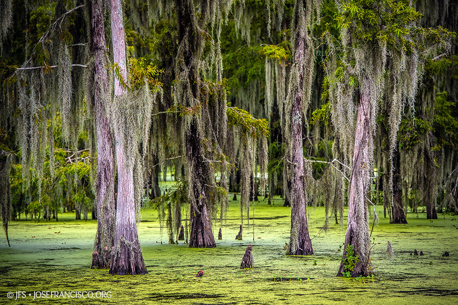
Maurepas Swamp [6506]

Head of Island [6332]

Head of Island [6262]

a DSC_0034

Amite River [6307]

Tickfaw-0382

Tickfaw-0458

Tickfaw-0395

Bayou Swamp

Cypress Knees-0292

Tickfaw River canoe trail

Tickfaw-0394

Tickfaw-0178
Tickfaw-0377
Tickfaw-0018

Tickfaw-0364

7363_7364 x2 copy

Tickfaw-0362

Tickfaw-0373
Topographic Map of Chene Blanc Ln, Maurepas, LA, USA
Find elevation by address:

Places near Chene Blanc Ln, Maurepas, LA, USA:
Chene Blanc Lane
13165 Dove St
22343 La-22
22339 La-22
Herman Berthelot Rd, Maurepas, LA, USA
Maurepas
Vicknair Rd, Maurepas, LA, USA
Union Landing Rd, Livingston, LA, USA
Catfish Landing Rd, Maurepas, LA, USA
49123 La-22
14405 Rue Deschenes
LA-, Springfield, LA, USA
LA-, Livingston, LA, USA
17605 Cline Dr
15515 La-16
15710 La-16
South Brignac Drive
Amite River Road
15645 La-16
15645 La-16
Recent Searches:
- Elevation of Tenjo, Cundinamarca, Colombia
- Elevation of Côte-des-Neiges, Montreal, QC H4A 3J6, Canada
- Elevation of Bobcat Dr, Helena, MT, USA
- Elevation of Zu den Ihlowbergen, Althüttendorf, Germany
- Elevation of Badaber, Peshawar, Khyber Pakhtunkhwa, Pakistan
- Elevation of SE Heron Loop, Lincoln City, OR, USA
- Elevation of Slanický ostrov, 01 Námestovo, Slovakia
- Elevation of Spaceport America, Co Rd A, Truth or Consequences, NM, USA
- Elevation of Warwick, RI, USA
- Elevation of Fern Rd, Whitmore, CA, USA