Elevation of Twin Oaks, CA, USA

Location: United States > California > Kern County >

Longitude: -118.40889

Latitude: 35.3125

Elevation: 858m / 2815feet

Barometric Pressure: 91KPa

Elevation Map:

elevation map of Twin Oaks, CA, USA

Satellite Map:

Satellite map of Twin Oaks, CA, USA

Related Photos:

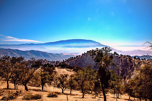
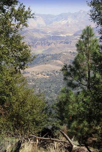
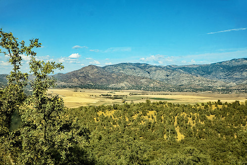
california kerncounty sierranevadarange greenhornmountains foothills oaktrees calientetobodfishroad grass tehachapimountains fog haze sanjoaquinvalley clouds cloudscape sky mountains hills
Tehachapi Mountains
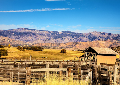
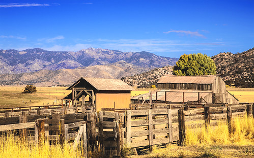
california walkerbasin rankinranch thequartercircleuranch walkerrankin laviniaestellelightner ranch barns corrals history kerncounty sierranevada ranches thepark josephreddfordwalker valley fields southernsierranevadamountains johnspeak
Rankin Ranch and The Walker Basin
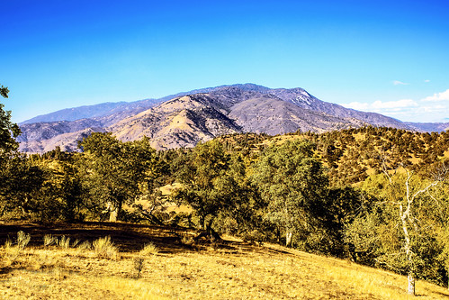
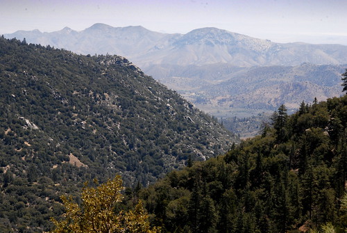
california kerncounty sierranevadarange greenhornmountains foothills pinyonpine piñon calientetobodfishroad oaktrees grass breckenridgemountain holeinthemountain
Breckenridge Mountain
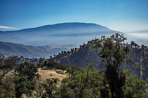
california kerncounty sierranevadarange greenhornmountains foothills oaktrees calientetobodfishroad grass tehachapimountains fog haze sanjoaquinvalley clouds cloudscape sky mountains hills
Tehachapi Mountains
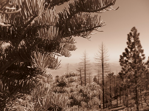
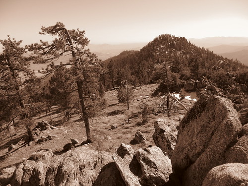
trees nature sepia forest canon landscape outdoors scenery view hiking powershot socal pines vegetation vista southerncalifornia sierranevadamountains easternsierra kerncounty southernsierra piutemountains hundredpeakssection sx260 sorrellpeak
Piute Mountains Landscape
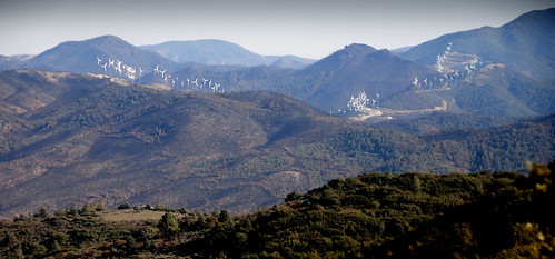
california ca mountains america pacific wind farm north canyon crest trail backpacking pct jawbone tehachapi windfarm
View over Jawbone Canyon from PCT, CA
california ca mountains america pacific nevada north crest sierra trail backpacking pct
View south from PCT near northmost Jawbone Canyon Road Crossing, CA
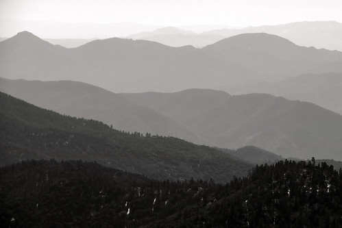
bw white black mountains nature canon landscape outdoors haze view hiking scenic powershot hills vista wilderness sierraclub ridges southernsierra piutemountains hundredpeakssection sx260 sorrellpeak
Into the Distance
california walkerbasin ranches history kerncounty sierranevada thepark josephreddfordwalker valley fields southernsierranevadamountains johnspeak
View From The Rankin Barns
california walkerbasin ranches history kerncounty sierranevada thepark josephreddfordwalker valley fields southernsierranevadamountains johnspeak
Walker Basin
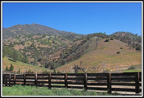
herbdunn dunnrightphotography kerncountyphotographers rankinranch kernphotographyassociation
Rankin Vista View
america brooklynpaigeseibold california kerncounty tayloranneseiboldreece usa unitedstates bush calientecreekrd family freshwater jfflickr painting person photosbydavid plant postedonflickr rock water waterfall
Push It (p)
america bush calientecreekrd california freshwater jfflickr kerncounty painting photosbydavid plant postedonflickr rock unitedstates usa water waterfall
Waterfall Sometimes (p)
california usa plant tree grass rock america painting unitedstates kerncounty postedonflickr photosbydavid calientecreekrd jfflickr postedonfb
Not Wheelchair Accessible (p)
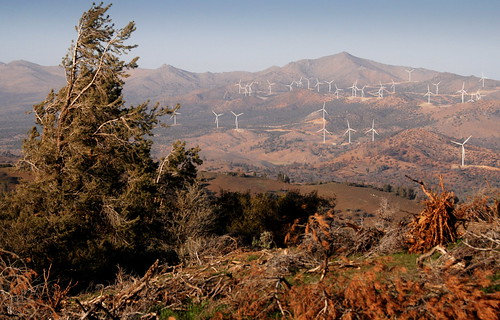
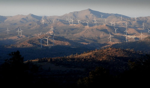
california ranch ca sky mountains windmill america river energy power pacific wind farm north crest trail backpacking electricity pct generation turbine tehachapi alternative windfarm turbines
Wind blown tree and windfarm, PCT, CA
trees nature sepia canon landscape outdoors hiking scenic powershot vegetation southerncalifornia sequoianationalforest piutemountains southernsierranevadamountains sx260
South along the Piutes
california ranch ca sky mountains windmill america river energy power pacific wind farm north crest trail backpacking electricity pct generation turbine tehachapi alternative windfarm turbines windfrarm
Sky River Ranch, approach from North, PCT, CA
california ranch ca sky mountains windmill america river energy power pacific wind farm north crest trail backpacking electricity pct generation turbine tehachapi alternative windfarm turbines
Sky River Ranch new turbines, PCT, CA
trees nature canon landscape outdoors hiking scenic powershot vegetation southerncalifornia sequoianationalforest piutemountains southernsierranevadamountains sx260
On the Slopes of Sorrell
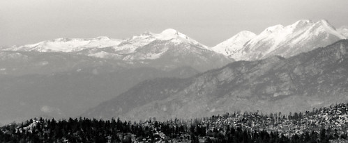
bw white snow black nature canon landscape outdoors zoom hiking powershot telephoto wilderness sierraclub sequoianationalforest southernsierra piutemountains hundredpeakssection sx260
The High Sierra from Sorrell Peak
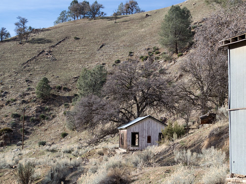
california abandoned kerncounty
Caliente Creek road (0485)
california ca mountains america pacific north crest trail backpacking pct tehachapi
South bound on the PCT toward Sky River Ranch, CA
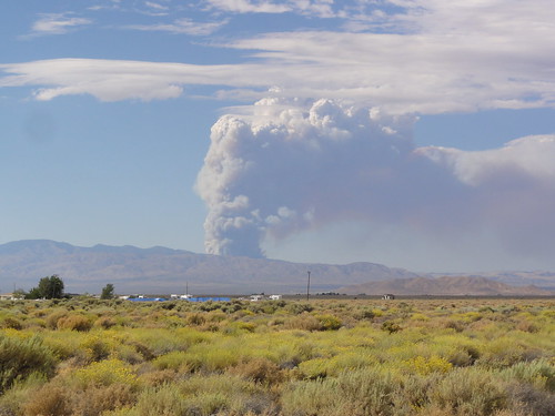
tehachapi rosamond edwardsairforcebase williamcullen brooksfieldtrip piuteponds blackburnfire
Piute Ponds
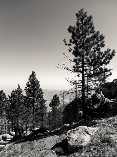
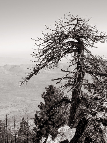
bw white black tree nature pine canon landscape dead outdoors hiking powershot wilderness sierraclub sequoianationalforest southernsierra piutemountains hundredpeakssection sx260 sorrellpeak
Ephemeral Form
california ca mountains america pacific north crest trail backpacking pct tehachapi
Sky River Ranch through the forest fire, PCT, CA
california ca mountains america pacific north crest trail backpacking pct tehachapi
Mayan Peak from PCT, California
mt langley
Anna and Erika
Pct day 27