Elevation of Breckenridge Mountain, California, USA
Location: United States > California > Kern County > Bakersfield >
Longitude: -118.5842544
Latitude: 35.4510673
Elevation: 2288m / 7507feet
Barometric Pressure: 0KPa
Related Photos:

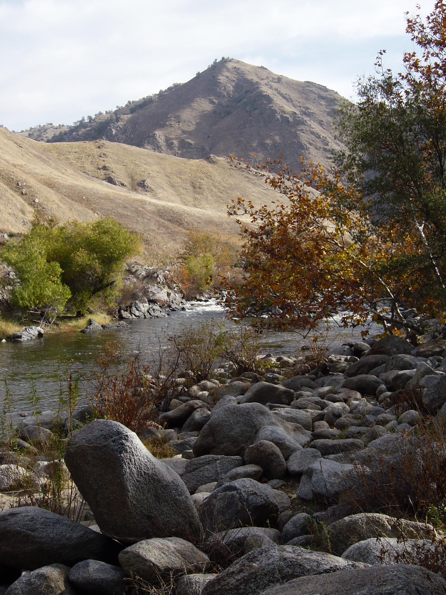
Lower Kern River
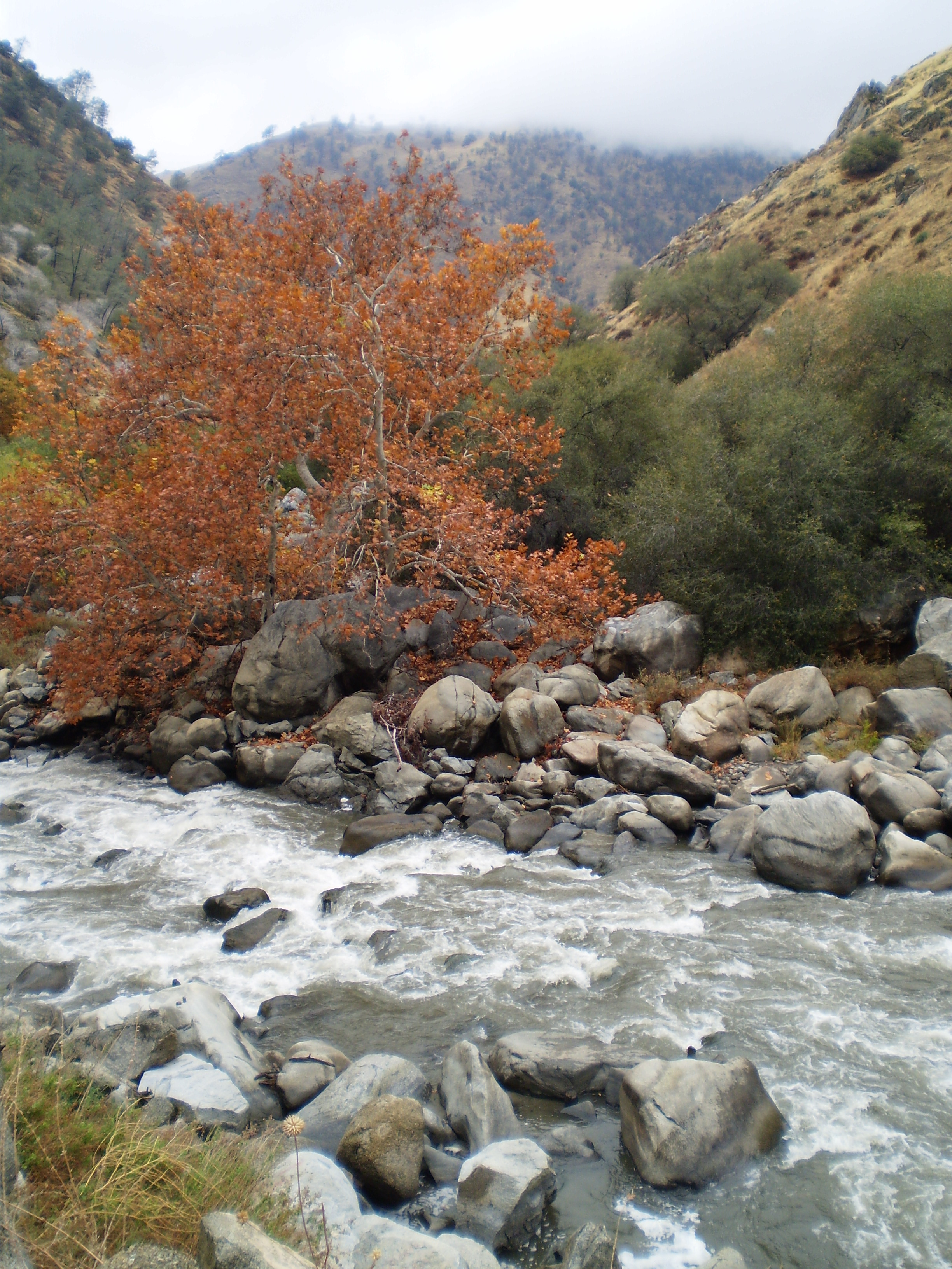
Fall Colors
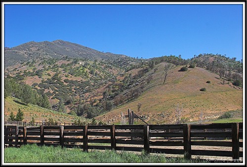
Rankin Vista View
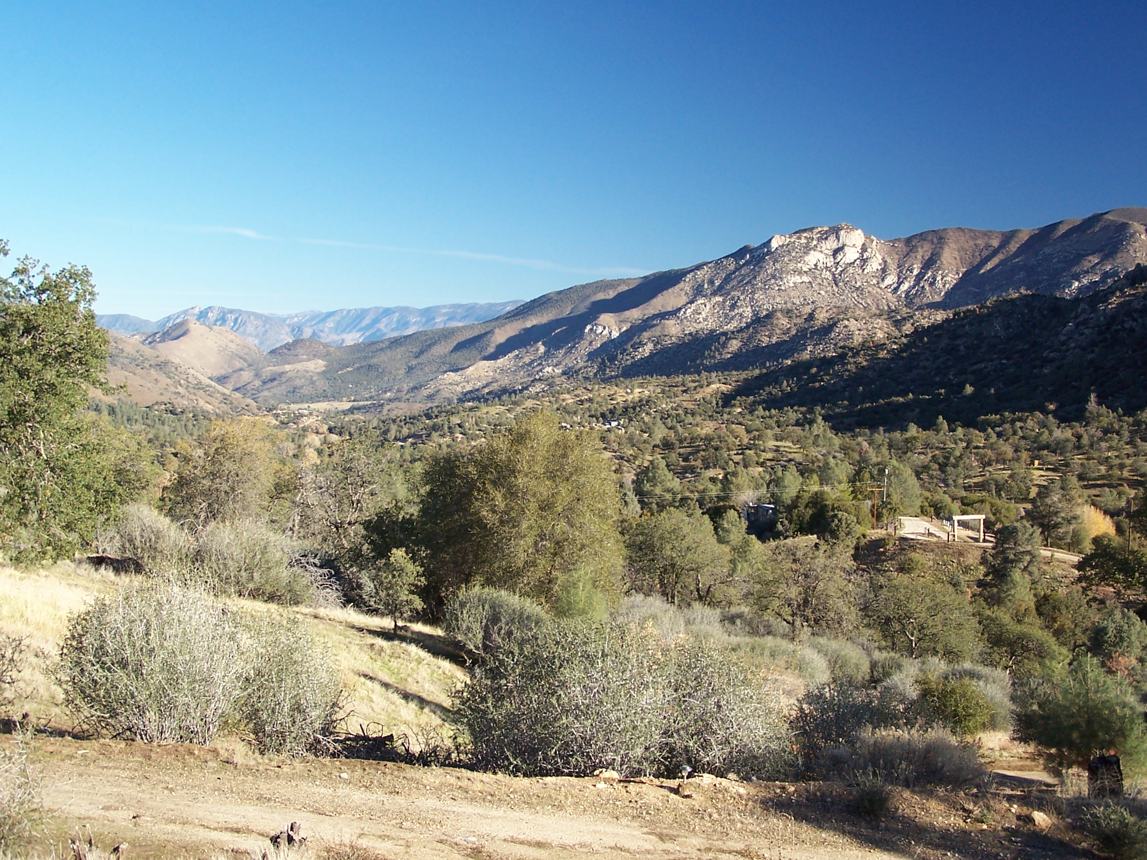
View north from Havilah
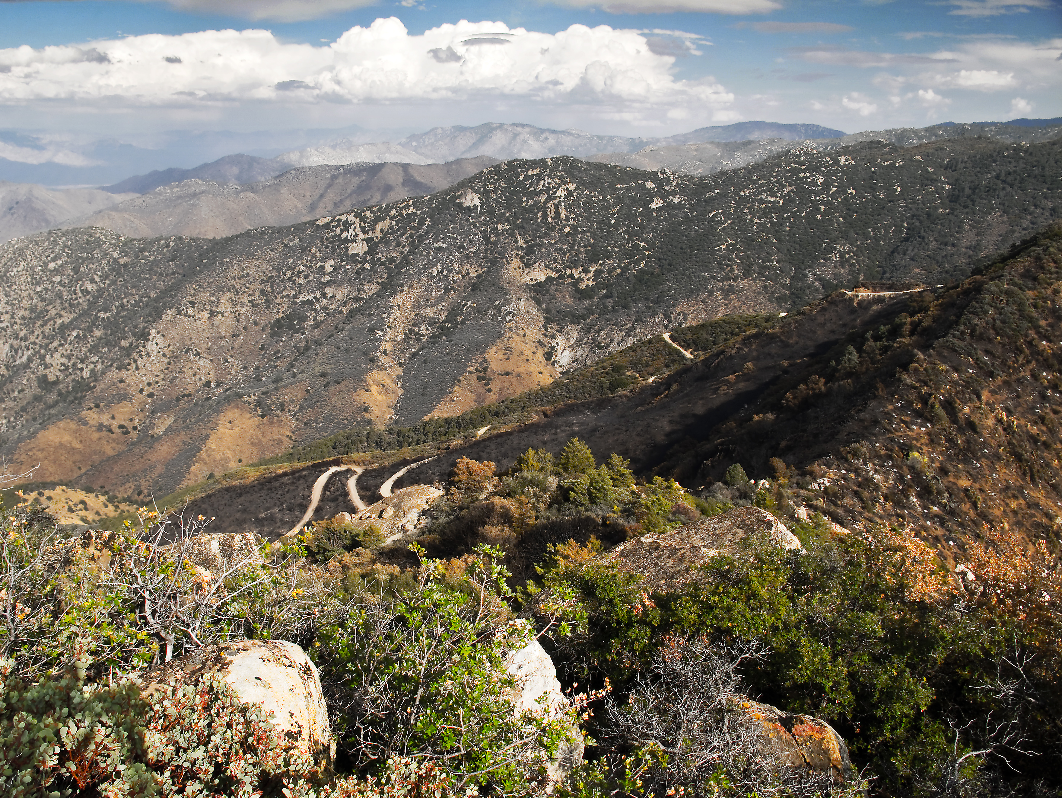
View southeast from Bald Eagle Peak
Kern River View 2
Topographic Map of Breckenridge Mountain, California, USA
Find elevation by address:

Places near Breckenridge Mountain, California, USA:
200 Piute Meadows Rd
21585 Pine Tree Rd
20850 Schell Ranch Rd
Havilah
Caliente Bodfish Rd, Havilah, CA, USA
Breckenridge Road
1 Gary St
Bodfish
25 Elk Dr, Bodfish, CA, USA
Caliente
636 Columbus Ave
205 Clara Dr
500 Poplar Ln
1387 Bodfish Canyon Rd
63 S Alpine Way
63 N Alpine Way
2419 Rembach Ave
430 Laurel Dr
2607 Rembach Ave
2613 Rembach Ave
Recent Searches:
- Elevation map of Greenland, Greenland
- Elevation of Sullivan Hill, New York, New York, 10002, USA
- Elevation of Morehead Road, Withrow Downs, Charlotte, Mecklenburg County, North Carolina, 28262, USA
- Elevation of 2800, Morehead Road, Withrow Downs, Charlotte, Mecklenburg County, North Carolina, 28262, USA
- Elevation of Yangbi Yi Autonomous County, Yunnan, China
- Elevation of Pingpo, Yangbi Yi Autonomous County, Yunnan, China
- Elevation of Mount Malong, Pingpo, Yangbi Yi Autonomous County, Yunnan, China
- Elevation map of Yongping County, Yunnan, China
- Elevation of North 8th Street, Palatka, Putnam County, Florida, 32177, USA
- Elevation of 107, Big Apple Road, East Palatka, Putnam County, Florida, 32131, USA
- Elevation of Jiezi, Chongzhou City, Sichuan, China
- Elevation of Chongzhou City, Sichuan, China
- Elevation of Huaiyuan, Chongzhou City, Sichuan, China
- Elevation of Qingxia, Chengdu, Sichuan, China
- Elevation of Corso Fratelli Cairoli, 35, Macerata MC, Italy
- Elevation of Tallevast Rd, Sarasota, FL, USA
- Elevation of 4th St E, Sonoma, CA, USA
- Elevation of Black Hollow Rd, Pennsdale, PA, USA
- Elevation of Oakland Ave, Williamsport, PA, USA
- Elevation of Pedrógão Grande, Portugal