Elevation of Bakersfield, CA, USA
Location: United States > California > Kern County >
Longitude: -119.01871
Latitude: 35.3732921
Elevation: 123m / 404feet
Barometric Pressure: 100KPa
Elevation Map:
Satellite Map:
Related Photos:

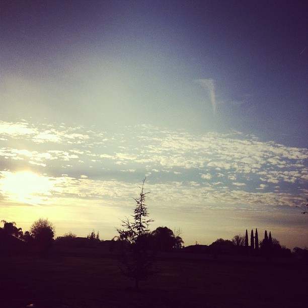
Rising Over Bakersfield

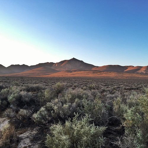
Mountain View
Less obstructed view from Madison Grove Park
I think I just discovered my new favorite highway. Thousands upon thousands of Joshua Trees. Jaw dropping, breathtaking views. Thankful for good fortune and new discoveries.

Mohawk Street Overpass view
Topographic Map of Bakersfield, CA, USA
Find elevation by address:

Places in Bakersfield, CA, USA:
Baker Street
Rosedale
Eagle Ranch
Kern City
Fruitvale
Stockdale West
San Lauren
City In The Hills
Olive Drive Area
Riverlakes
Rio Bravo
Laurel Glen
Belsera
Spice Tract
The Seasons
Tuscany
Olde Stockdale
Madison Grove
Casa Loma
Seven Oaks
South San Lauren
Westlakes
Eastridge Estates
Oakridge
Campus Park
Brighton
Highland Knolls
Riviera/westchester
San Trope
Emerald Estates
Crystal Ranch
Stone Meadows
Greenacres
Avalon
Benton Park
Hillcrest
East Bakersfield
Silver Creek
Morning Star
Park Avenue
Oleander/sunset
Terra Vista
Downtown
Breckenridge Mountain
Parker Ln, Bakersfield, CA, USA
Millux Rd, Bakersfield, CA, USA
Copus Rd, Bakersfield, CA, USA
Haley St, Bakersfield, CA, USA
Fruitvale Ave, Bakersfield, CA, USA
S Edison Rd, Bakersfield, CA, USA
Bakersfield, CA, USA
Harpy Eagle Avenue
Edison Hwy, Bakersfield, CA, USA
Fuller Dr, Bakersfield, CA, USA
Gosford Rd, Bakersfield, CA, USA
China Grade Loop, Bakersfield, CA, USA
Bengston Ave, Bakersfield, CA, USA
Mettler Frontage Rd E, Bakersfield, CA, USA
Round Mountain Rd, Bakersfield, CA, USA
9620a
White Ln, Bakersfield, CA, USA
Flyover Court
Heidfeld Court
Blossom Street
Panorama Drive
Easton Drive
Spectrum Park Way
Spectrum Park Way
Spectrum Park Way
Spectrum Park Way
Juniper Ridge Road
River Oaks
Ridgeview Estates
College Heights
Mountain Meadows
Breckenridge Road
Pheasant Run
Stockdale Country Club
Bakersfield Country Club
Places near Bakersfield, CA, USA:
The Padre Hotel
Downtown
Chester Avenue
1100 California Ave
2215 Truxtun Ave
24th St & F St
2411 F St
2000 24th St
425 Golden State Ave
Oleander/sunset
Riviera/westchester
2915 Sunset Ave
115 Kentucky St
Oak Street
South Tulare Street
Bakersfield Heart Hospital
1105 Crown Ave
Baker Street
731 E 21st St
670 Beale Ave
Recent Searches:
- Elevation of Corso Fratelli Cairoli, 35, Macerata MC, Italy
- Elevation of Tallevast Rd, Sarasota, FL, USA
- Elevation of 4th St E, Sonoma, CA, USA
- Elevation of Black Hollow Rd, Pennsdale, PA, USA
- Elevation of Oakland Ave, Williamsport, PA, USA
- Elevation of Pedrógão Grande, Portugal
- Elevation of Klee Dr, Martinsburg, WV, USA
- Elevation of Via Roma, Pieranica CR, Italy
- Elevation of Tavkvetili Mountain, Georgia
- Elevation of Hartfords Bluff Cir, Mt Pleasant, SC, USA