Elevation of Pine Tree Rd, Caliente, CA, USA
Location: United States > California > Kern County > Caliente >
Longitude: -118.51623
Latitude: 35.433185
Elevation: 1122m / 3681feet
Barometric Pressure: 89KPa
Elevation Map:
Satellite Map:
Related Photos:

Lower Kern River

Quiet river.....
view north from piute lookout

Mariposa Grove, CA
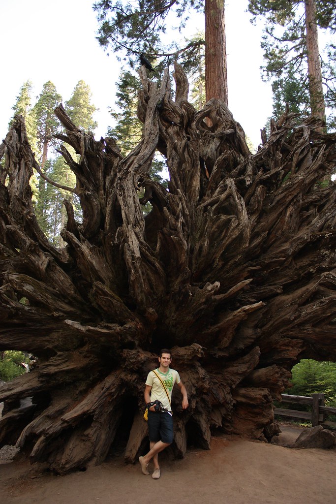
Mariposa Grove, CA
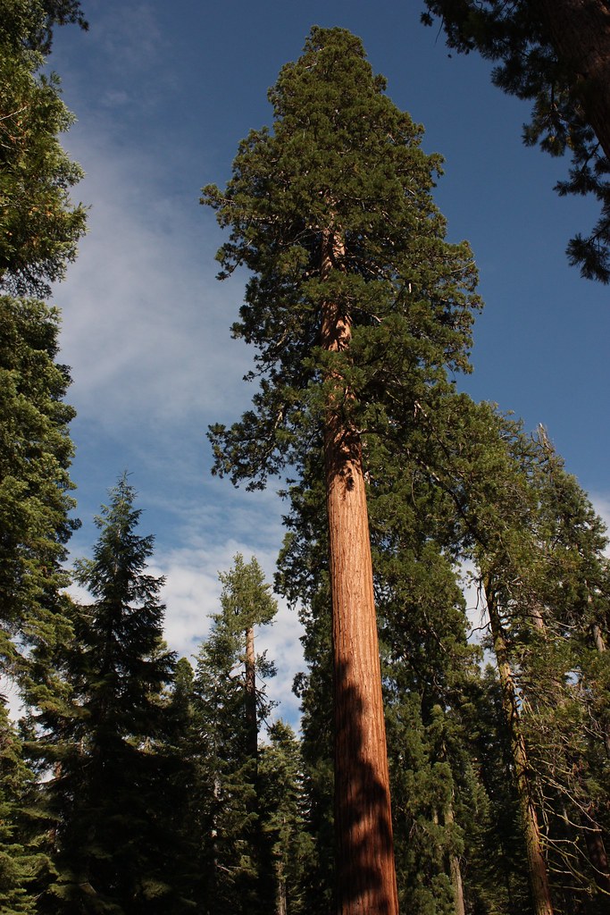
Mariposa Grove, CA
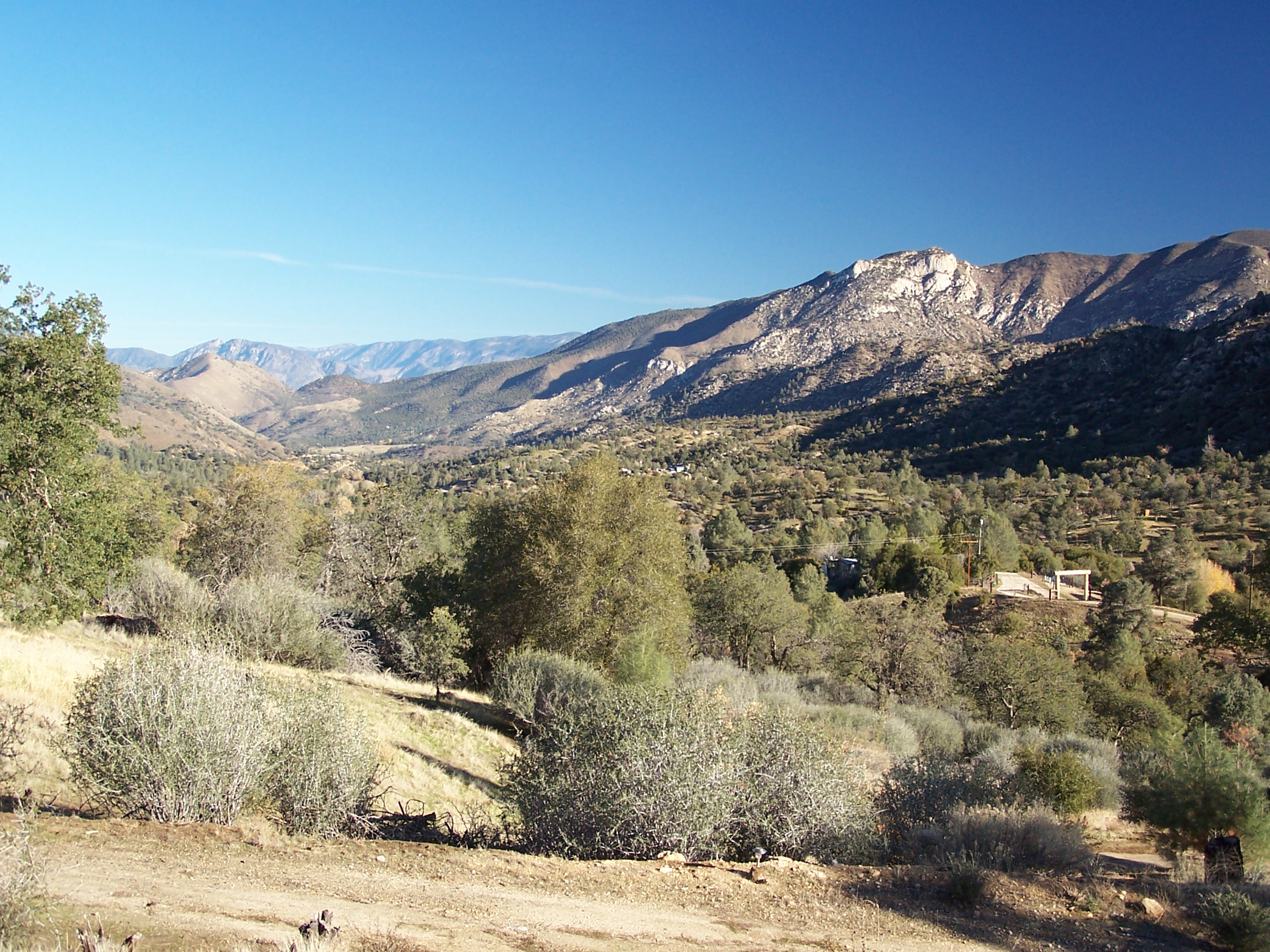
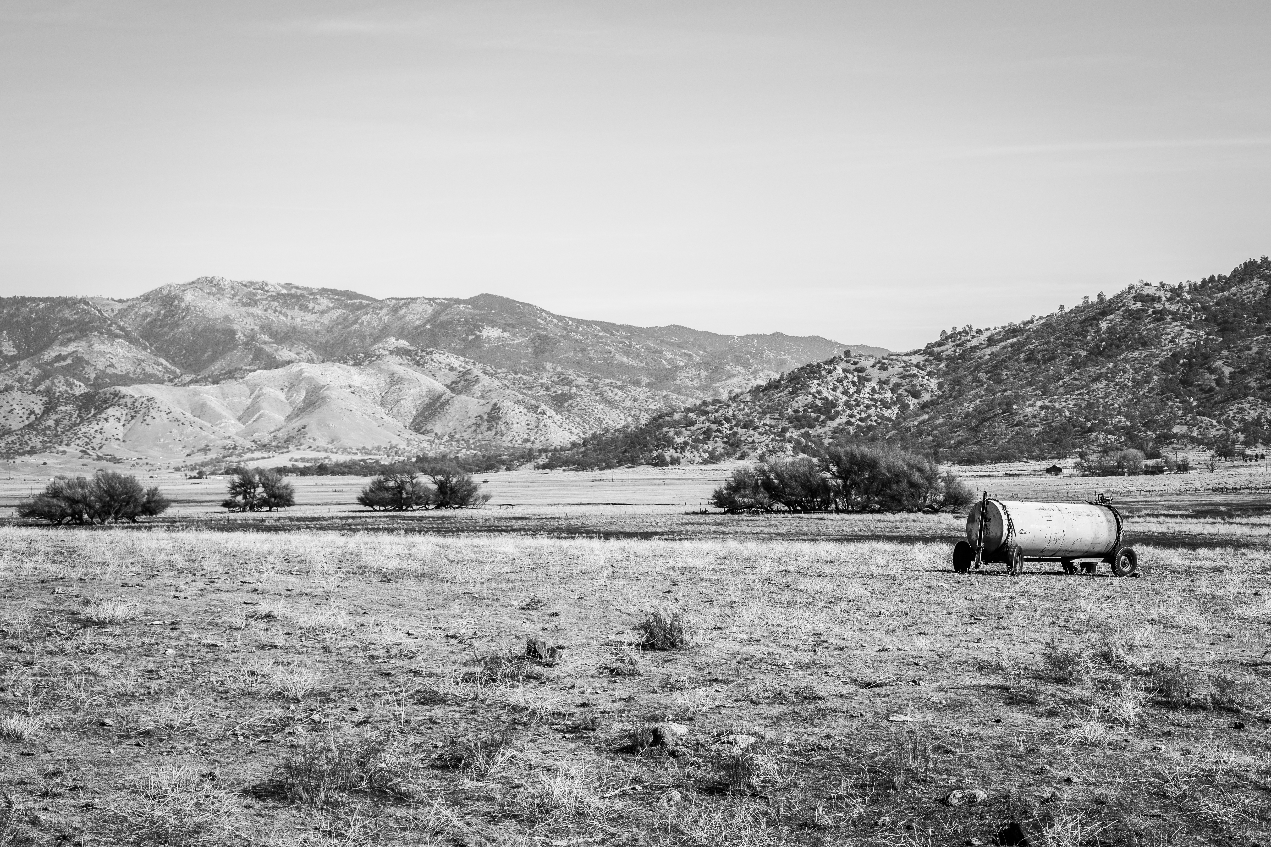
View north from Havilah
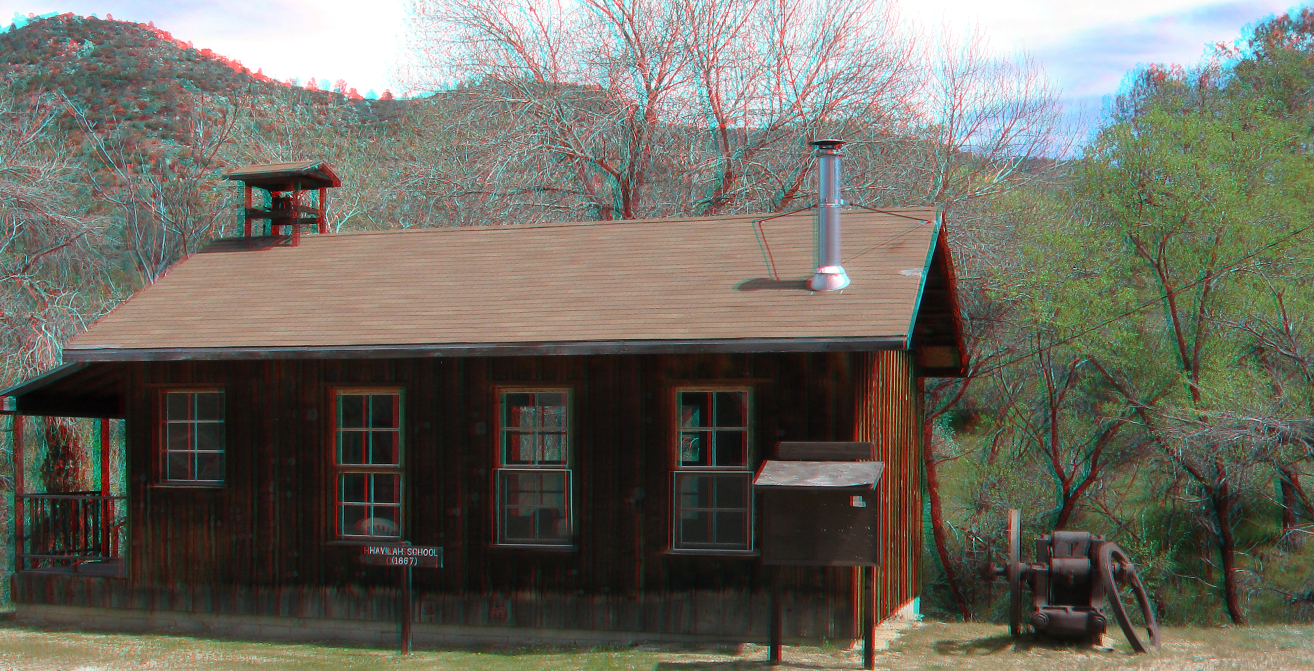
Havilah School 3d
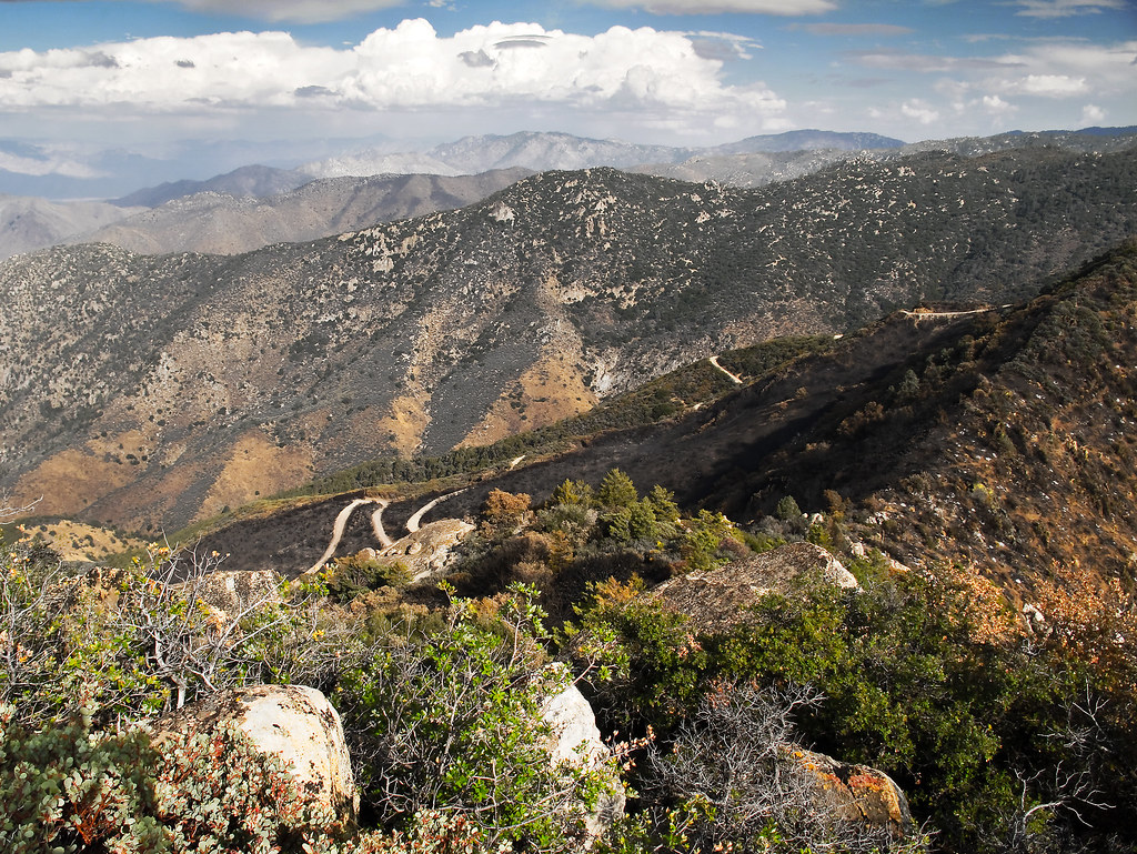
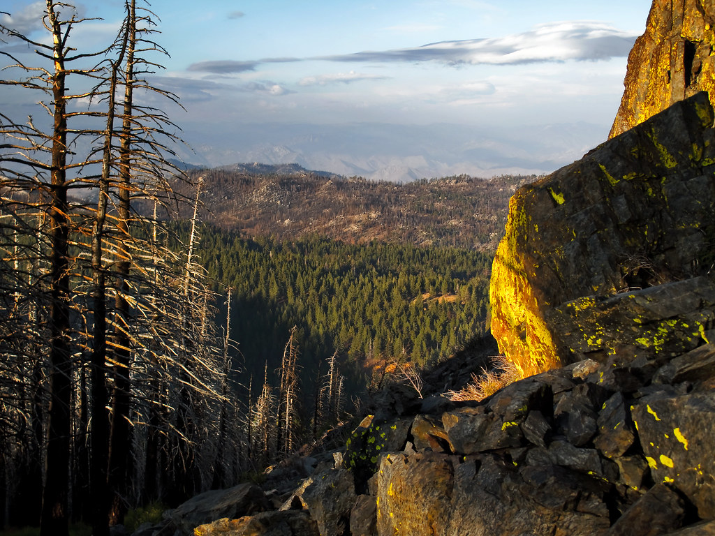
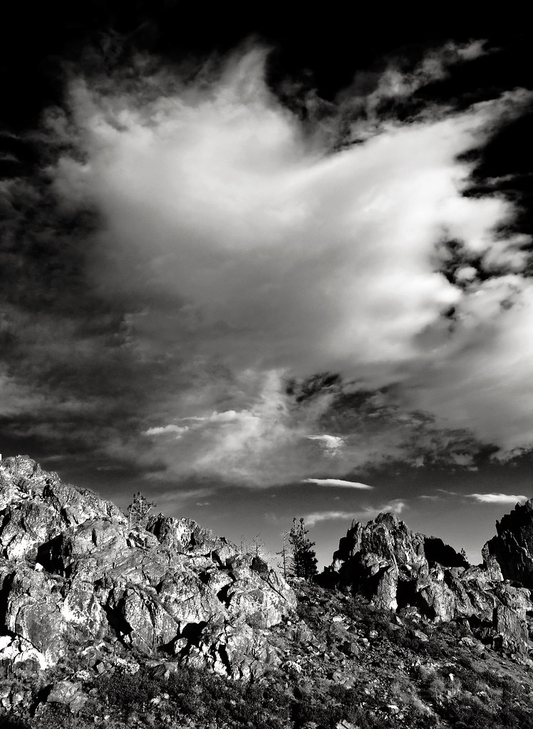
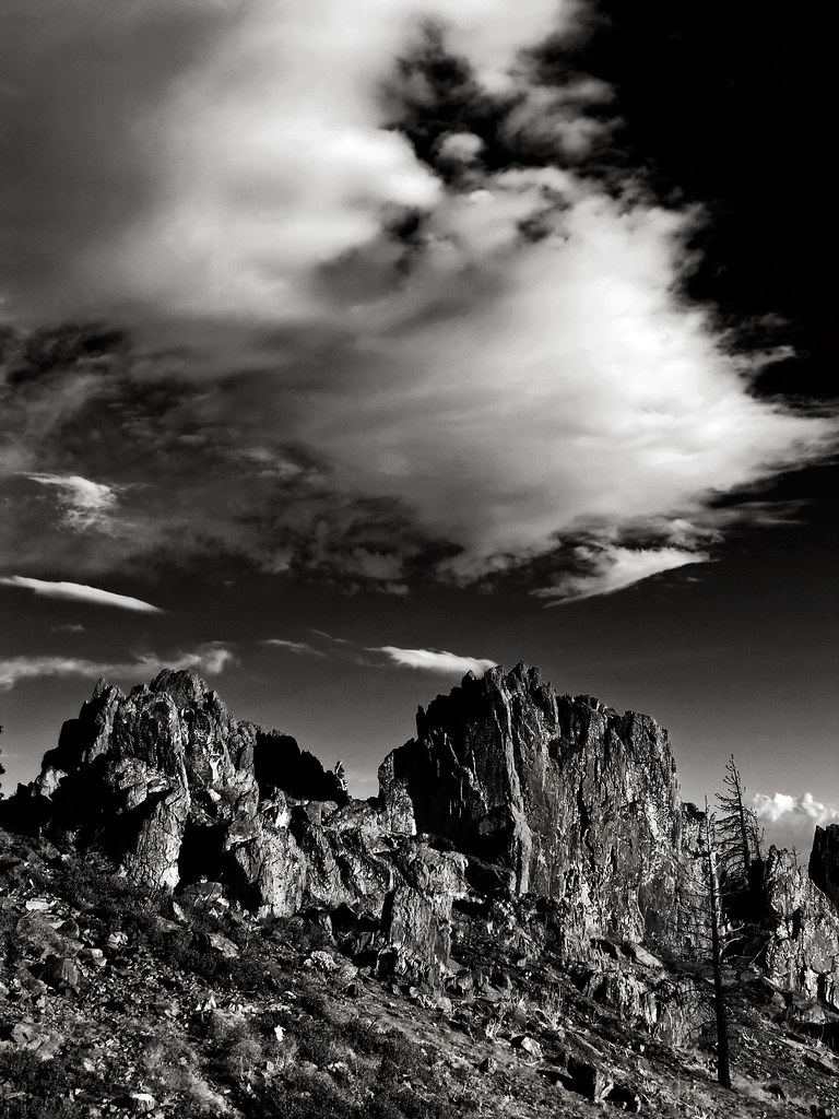
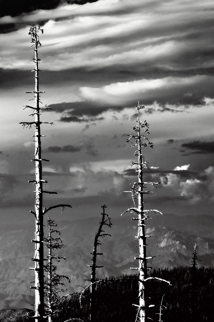
View southeast from Bald Eagle Peak

River playground

Occasional Dribble (p)

Lower Kern River

Push It (p)
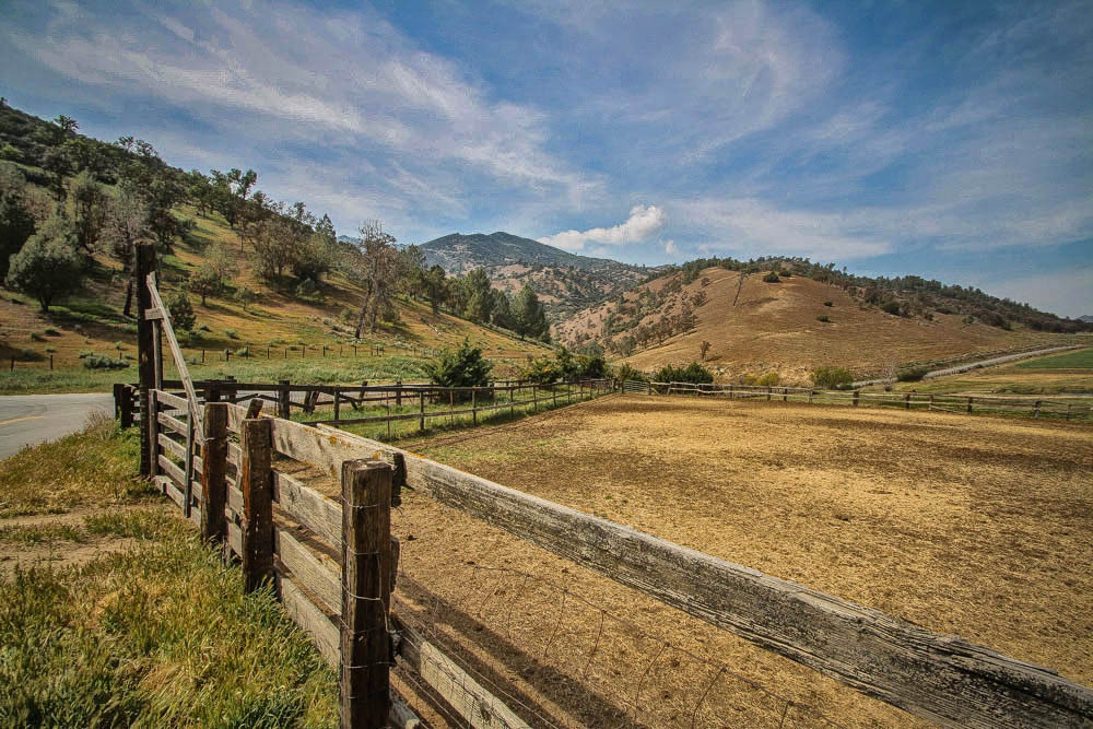
County Road 483, Caliente, California

Not Wheelchair Accessible (p)
The Absence of Anxiety

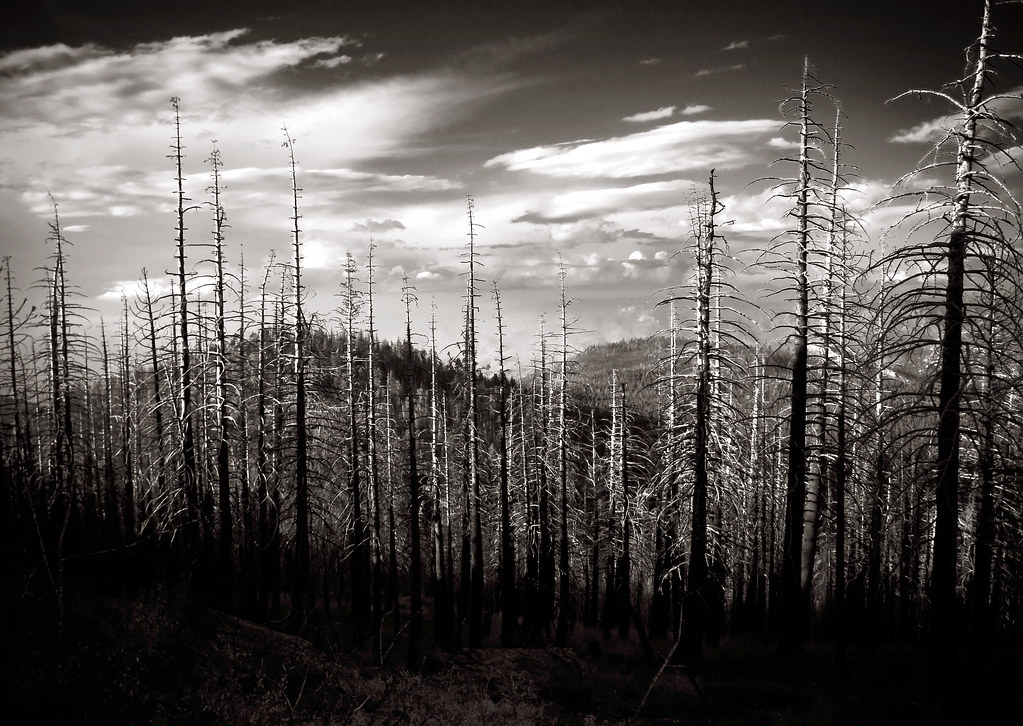
La vallée du Séquoia NP, en attendant qu'on finisse les travaux sur la chaussée...
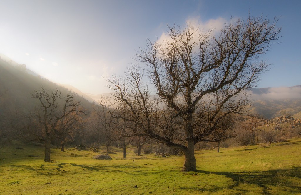
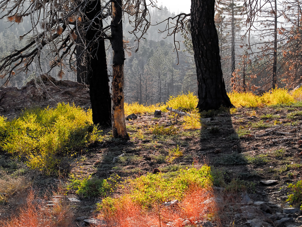
Lower Kern River Canyon

On est bien peu de chose...
transience; tomorrow will be different.
as darkness approaches
I was just thinking.
a warm moment
a momentary state.
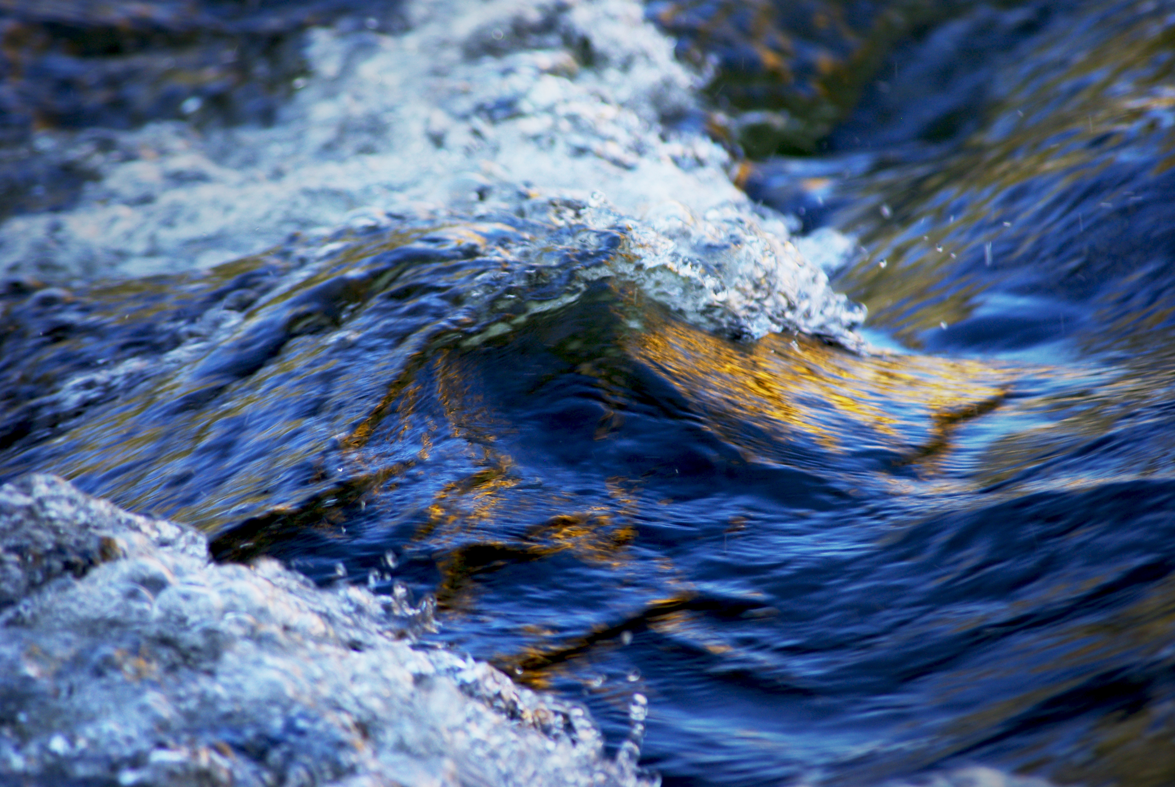
Wave of the River

Walker Basin Wildflowers

Oh what a tangled web we weave...
Topographic Map of Pine Tree Rd, Caliente, CA, USA
Find elevation by address:

Places near Pine Tree Rd, Caliente, CA, USA:
20850 Schell Ranch Rd
200 Piute Meadows Rd
Breckenridge Mountain
Havilah
Caliente Bodfish Rd, Havilah, CA, USA
Piute Peak
34554 Sand Canyon Rd
37294 Canton Way
500 Poplar Ln
Bodfish
1 Gary St
636 Columbus Ave
25 Elk Dr, Bodfish, CA, USA
63 S Alpine Way
Fern Street
2613 Rembach Ave
2607 Rembach Ave
2419 Rembach Ave
63 N Alpine Way
1387 Bodfish Canyon Rd
Recent Searches:
- Elevation of Congressional Dr, Stevensville, MD, USA
- Elevation of Bellview Rd, McLean, VA, USA
- Elevation of Stage Island Rd, Chatham, MA, USA
- Elevation of Shibuya Scramble Crossing, 21 Udagawacho, Shibuya City, Tokyo -, Japan
- Elevation of Jadagoniai, Kaunas District Municipality, Lithuania
- Elevation of Pagonija rock, Kranto 7-oji g. 8"N, Kaunas, Lithuania
- Elevation of Co Rd 87, Jamestown, CO, USA
- Elevation of Tenjo, Cundinamarca, Colombia
- Elevation of Côte-des-Neiges, Montreal, QC H4A 3J6, Canada
- Elevation of Bobcat Dr, Helena, MT, USA