Elevation of Canton Way, Caliente, CA, USA
Location: United States > California > Kern County > Caliente >
Longitude: -118.38743
Latitude: 35.357331
Elevation: 1150m / 3773feet
Barometric Pressure: 88KPa
Elevation Map:
Satellite Map:
Related Photos:
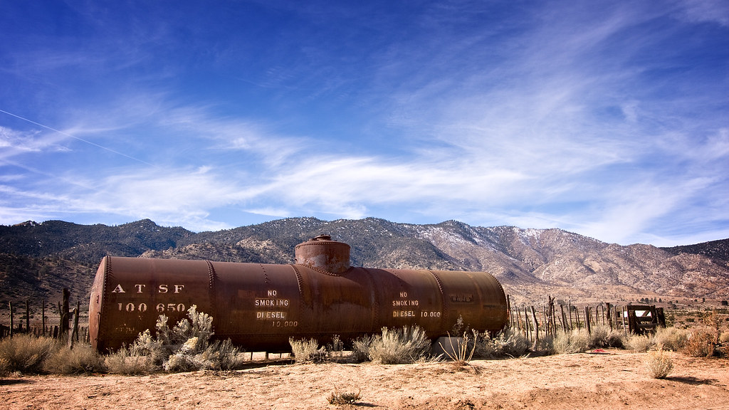
IMG_9025 Old ATSF diesel tank, Weldon(?), Kern County, California.
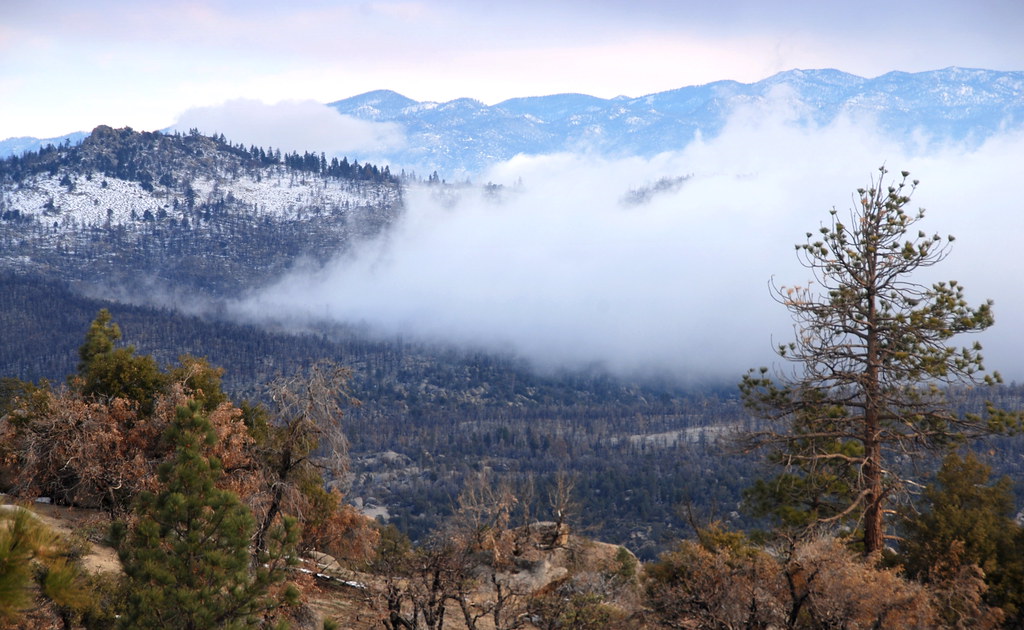
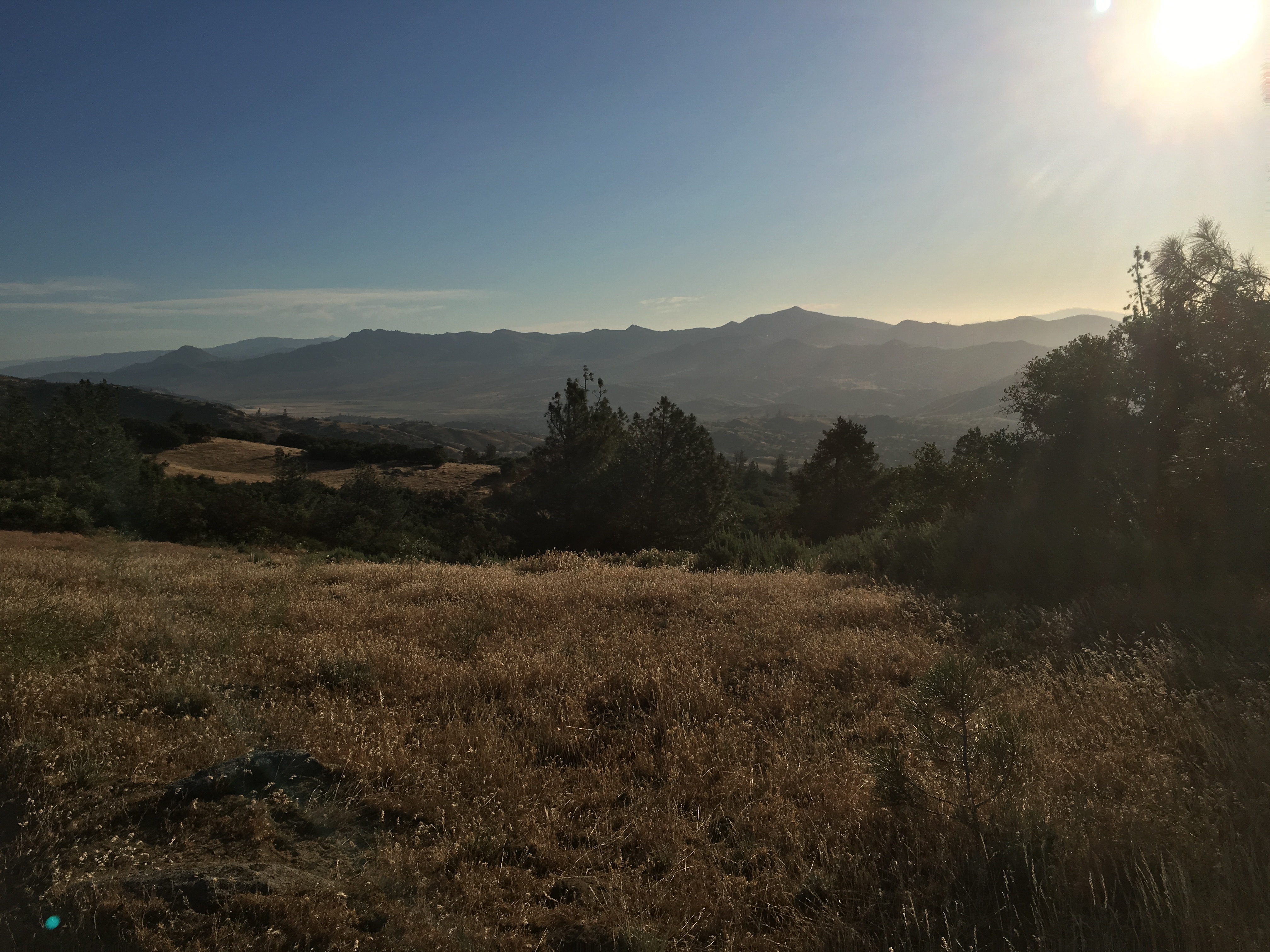
Piute Mountains Landscape

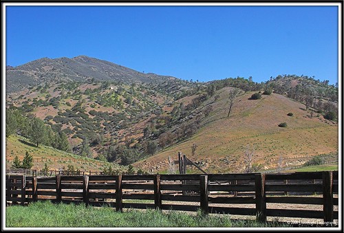
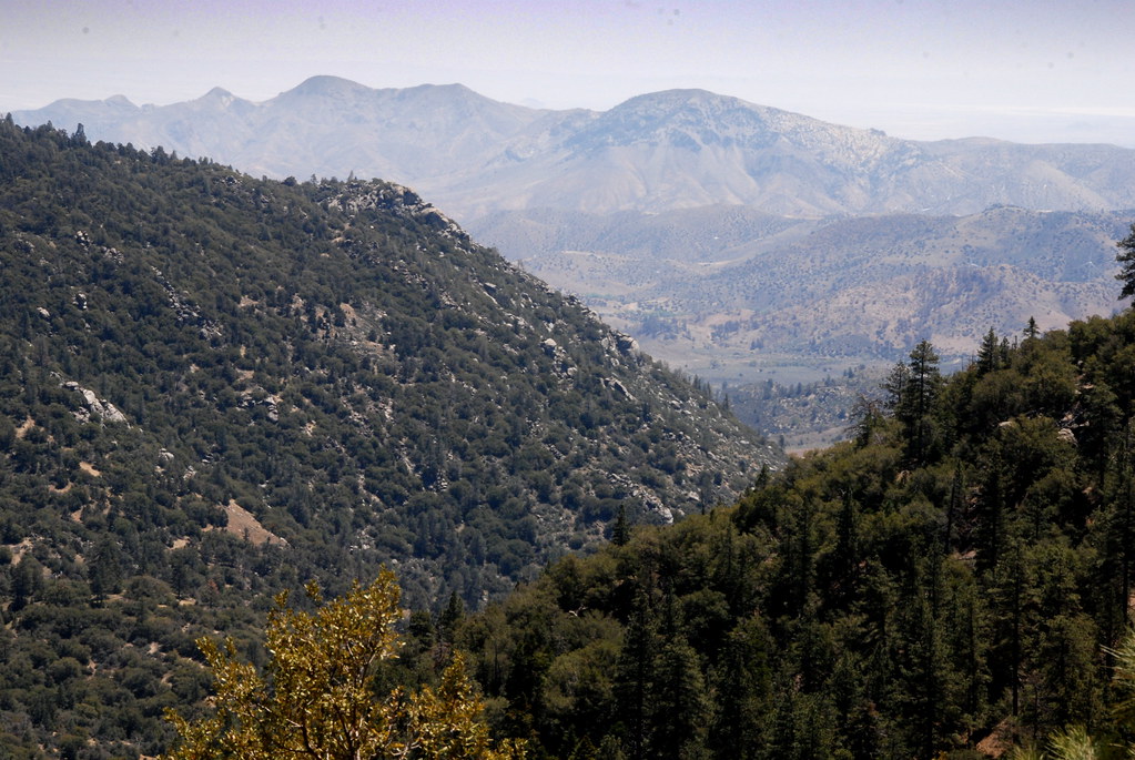
View of Caliente Creek region in Kern County
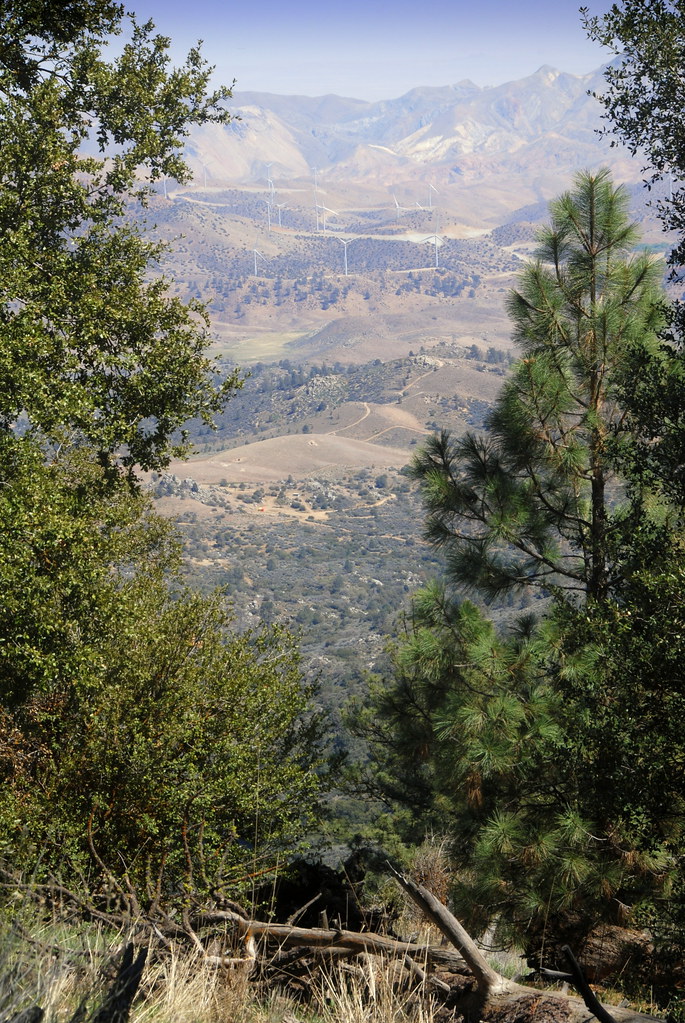
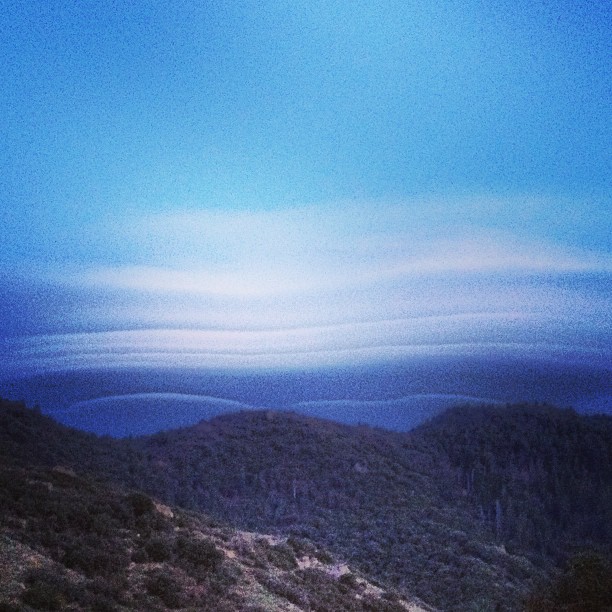
view north from piute lookout
Mariposa Grove, CA
View from near Piute Mountain, PCT, California
Rankin Vista View
View over Jawbone Canyon from PCT, CA
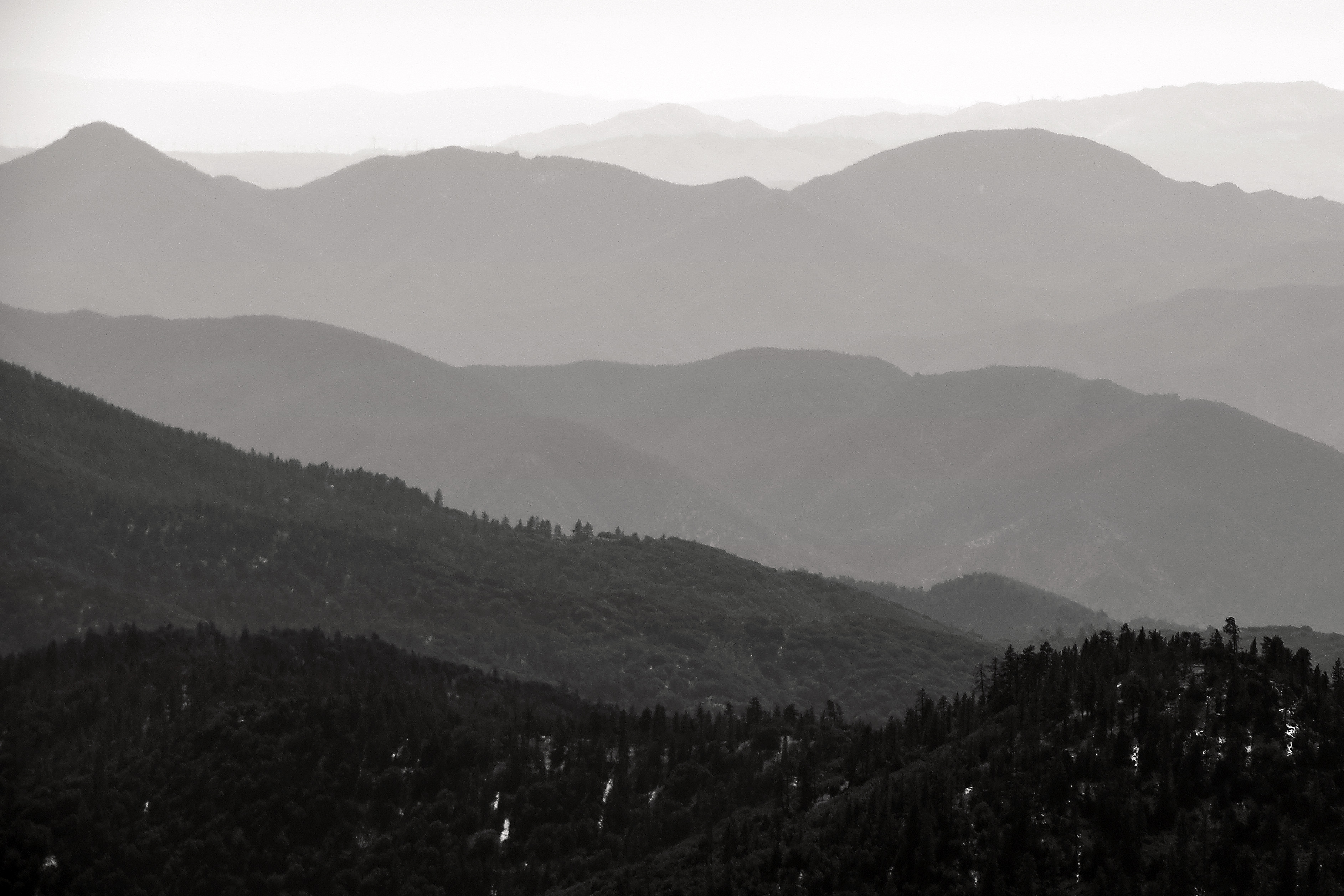
Into the Distance
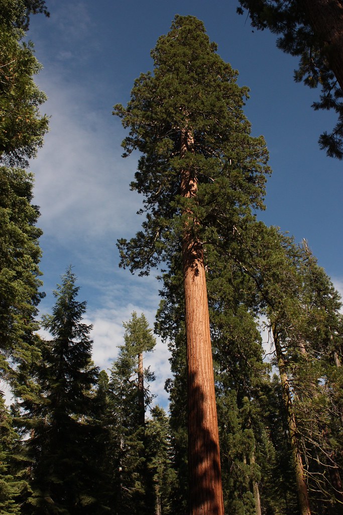
Mariposa Grove, CA
View south from PCT near northmost Jawbone Canyon Road Crossing, CA

Mariposa Grove, CA
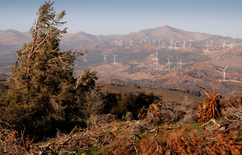
Wind blown tree and windfarm, PCT, CA
The Absence of Anxiety

Can We Help You?

La vallée du Séquoia NP, en attendant qu'on finisse les travaux sur la chaussée...

On est bien peu de chose...
Pct day 28
The Three Sisters

Passage du train 2
Crankin' Coot
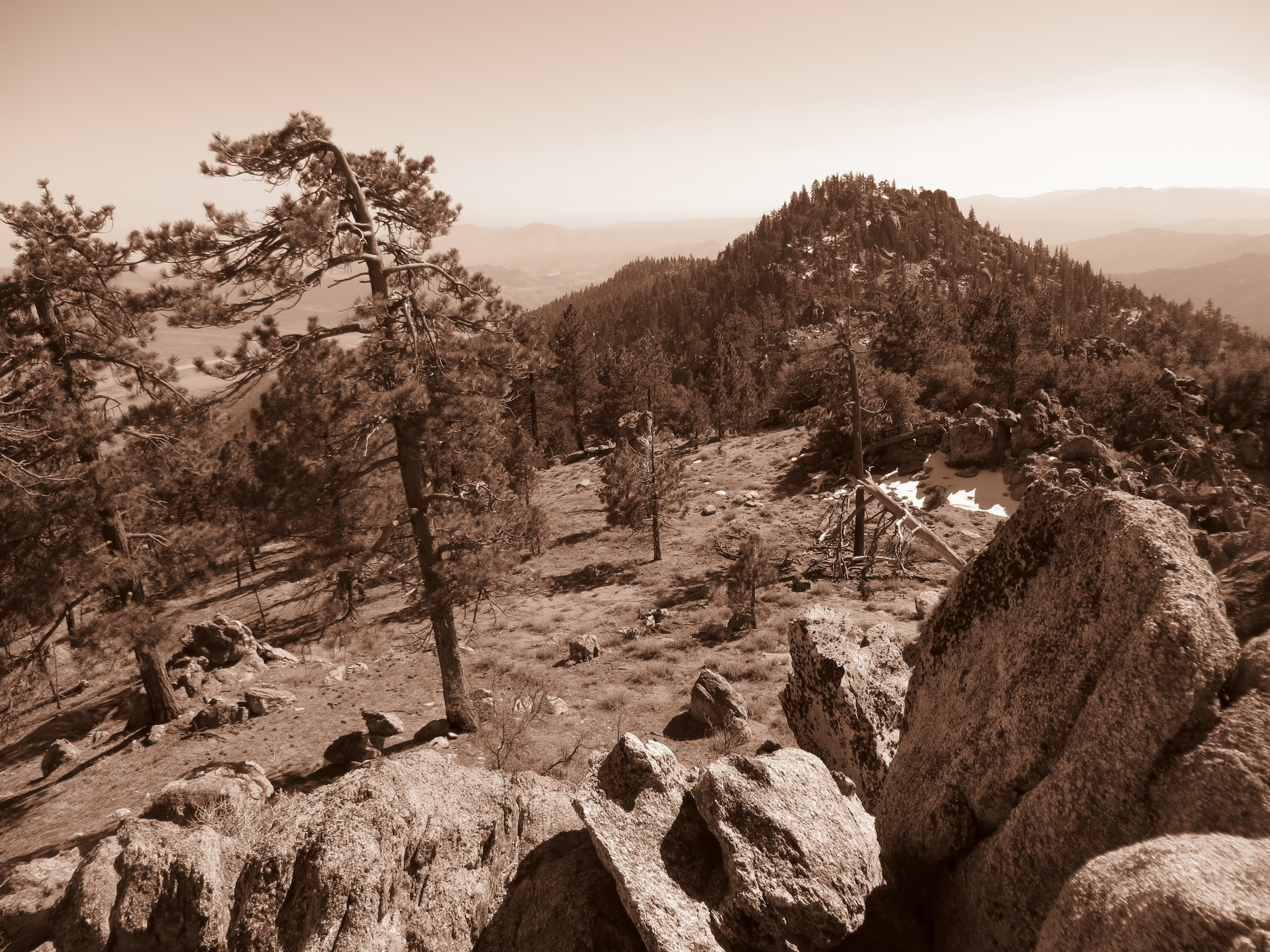
South along the Piutes
L1001377.jpg
Pct day 27
emerging color
Topographic Map of Canton Way, Caliente, CA, USA
Find elevation by address:

Places near Canton Way, Caliente, CA, USA:
13933 Back Canyon Rd
Twin Oaks
33212 Spring Meadow Rd
34554 Sand Canyon Rd
Back Canyon Road
11501 Sequoia Springs Rd
11882 Back Canyon Rd
High Ridge Road
Piute Peak
20850 Schell Ranch Rd
21585 Pine Tree Rd
200 Piute Meadows Rd
Caliente Bodfish Rd, Havilah, CA, USA
Havilah
Marcel Dr, Tehachapi, CA, USA
Breckenridge Mountain
Keene
Woodford-Tehachapi Rd, Keene, CA, USA
Marni Ct, Keene, CA, USA
Fern Street
Recent Searches:
- Elevation of Côte-des-Neiges, Montreal, QC H4A 3J6, Canada
- Elevation of Bobcat Dr, Helena, MT, USA
- Elevation of Zu den Ihlowbergen, Althüttendorf, Germany
- Elevation of Badaber, Peshawar, Khyber Pakhtunkhwa, Pakistan
- Elevation of SE Heron Loop, Lincoln City, OR, USA
- Elevation of Slanický ostrov, 01 Námestovo, Slovakia
- Elevation of Spaceport America, Co Rd A, Truth or Consequences, NM, USA
- Elevation of Warwick, RI, USA
- Elevation of Fern Rd, Whitmore, CA, USA
- Elevation of 62 Abbey St, Marshfield, MA, USA