Elevation of Piute Peak, California, USA
Location: United States > California > Kern County > Caliente >
Longitude: -118.39174
Latitude: 35.4510678
Elevation: 2299m / 7543feet
Barometric Pressure: 77KPa
Elevation Map:
Satellite Map:
Related Photos:
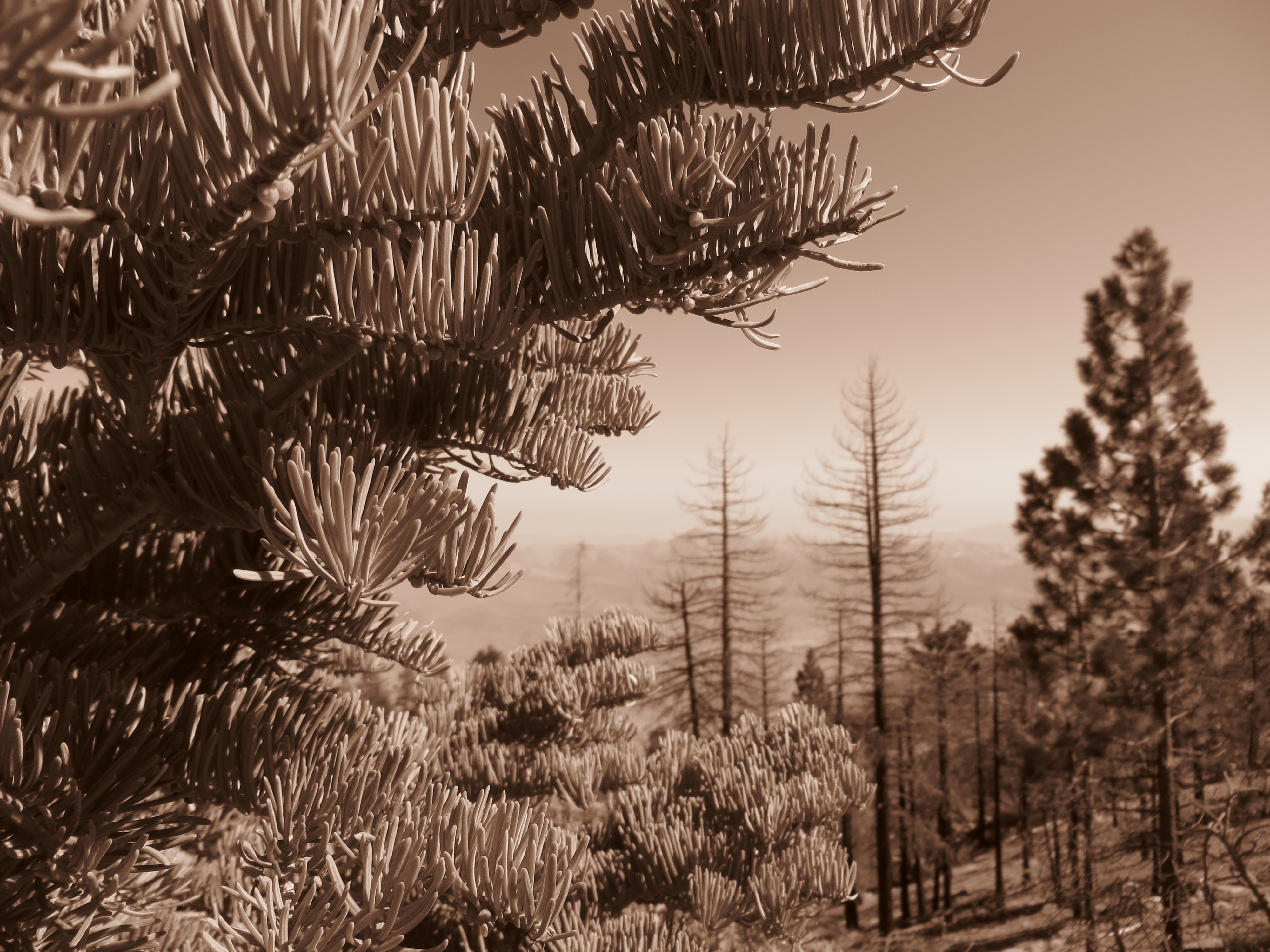
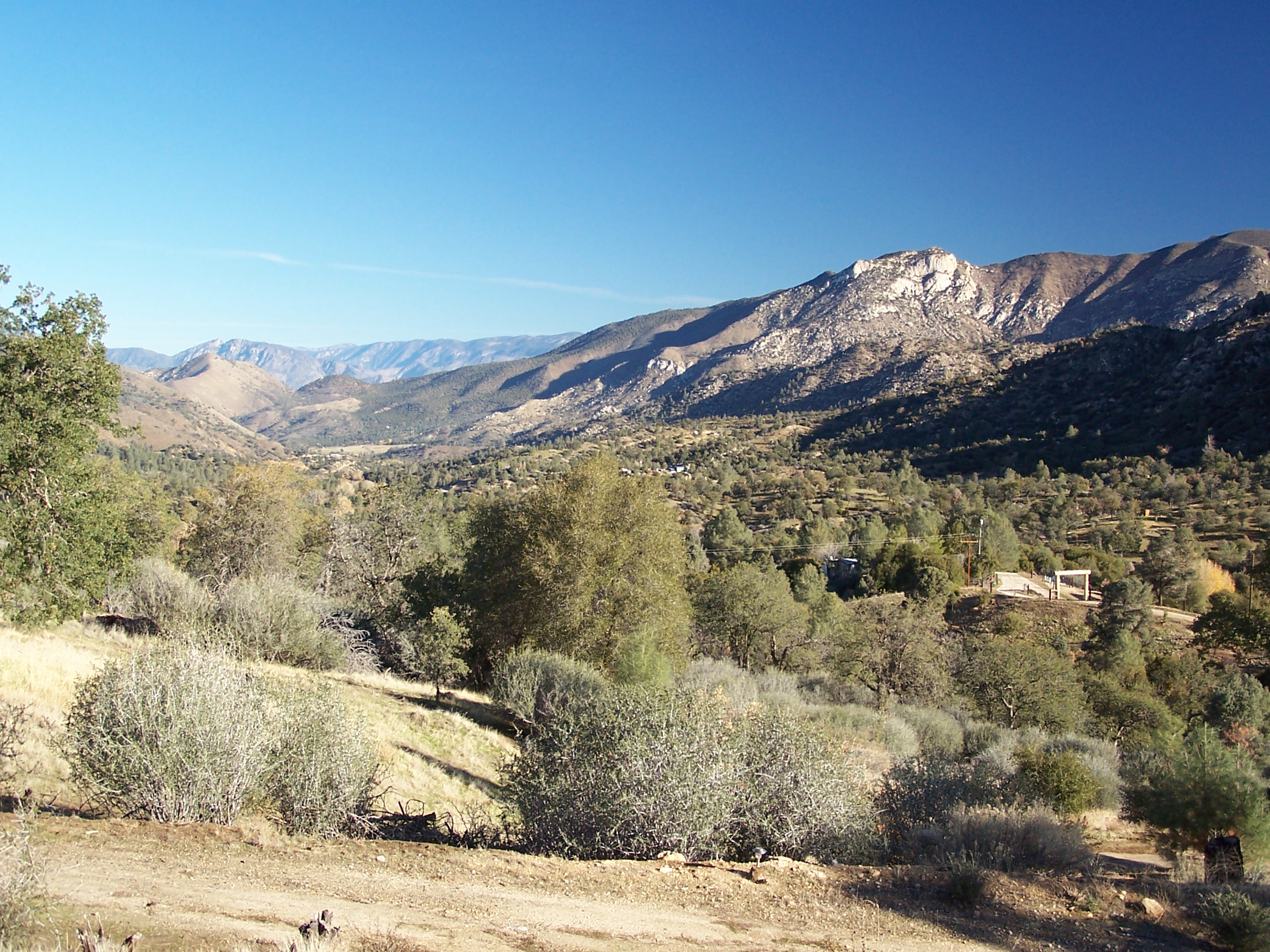
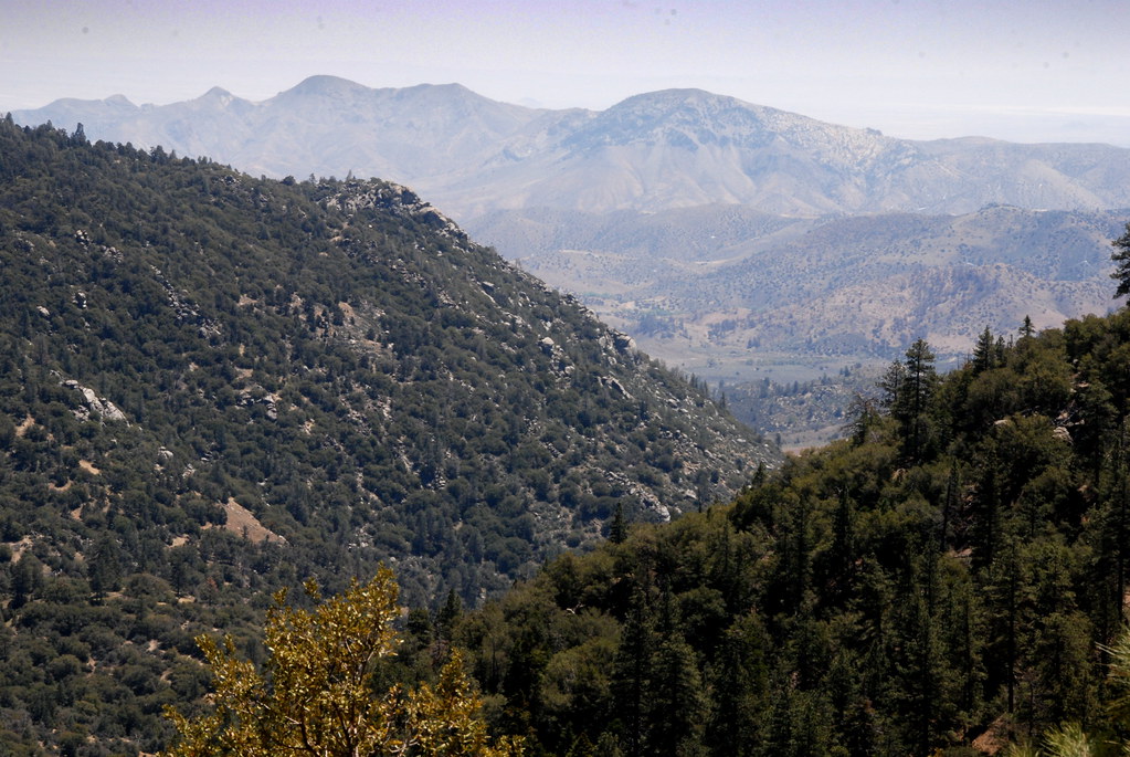
Out West
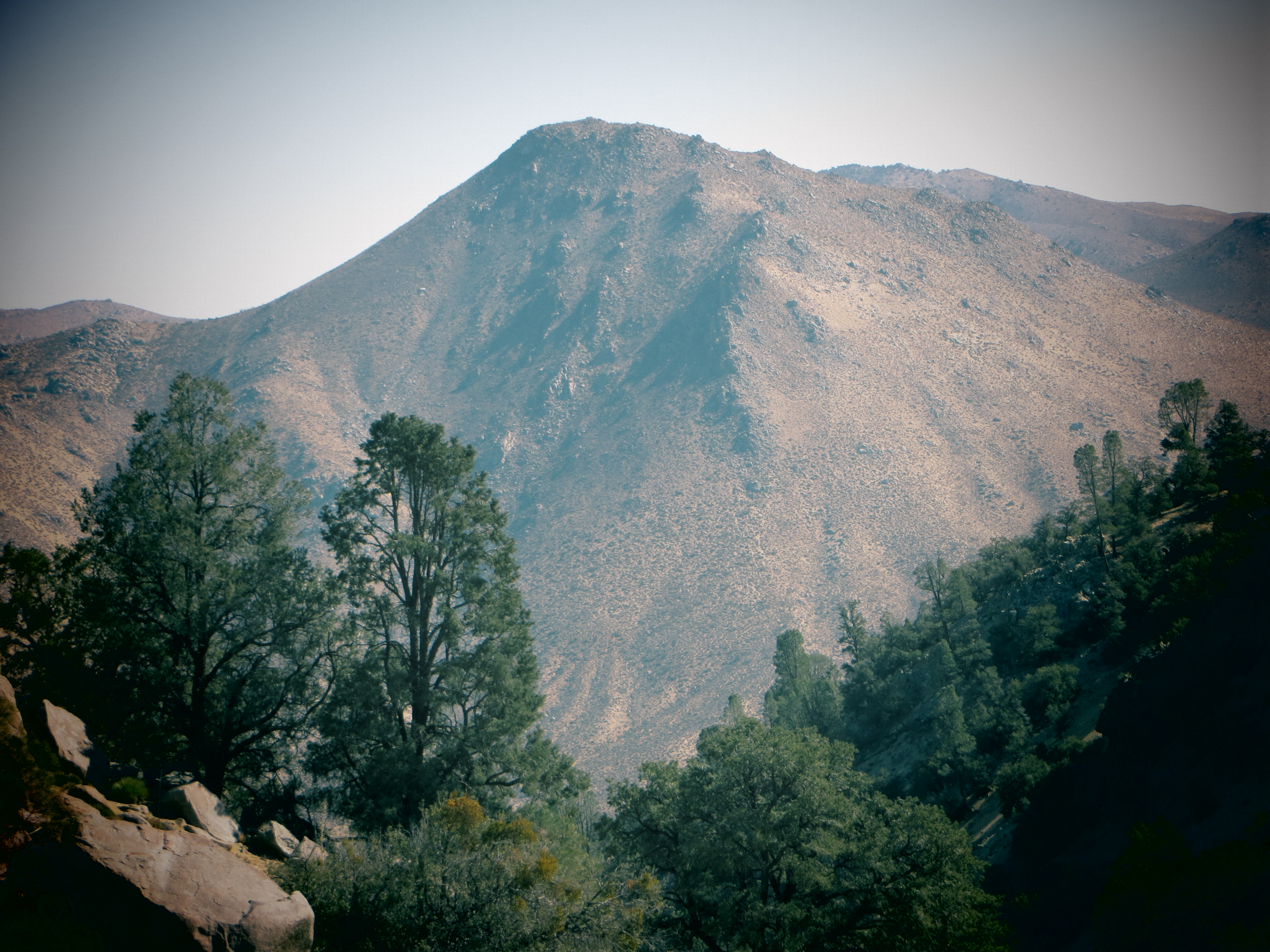
Piute Mountains Landscape
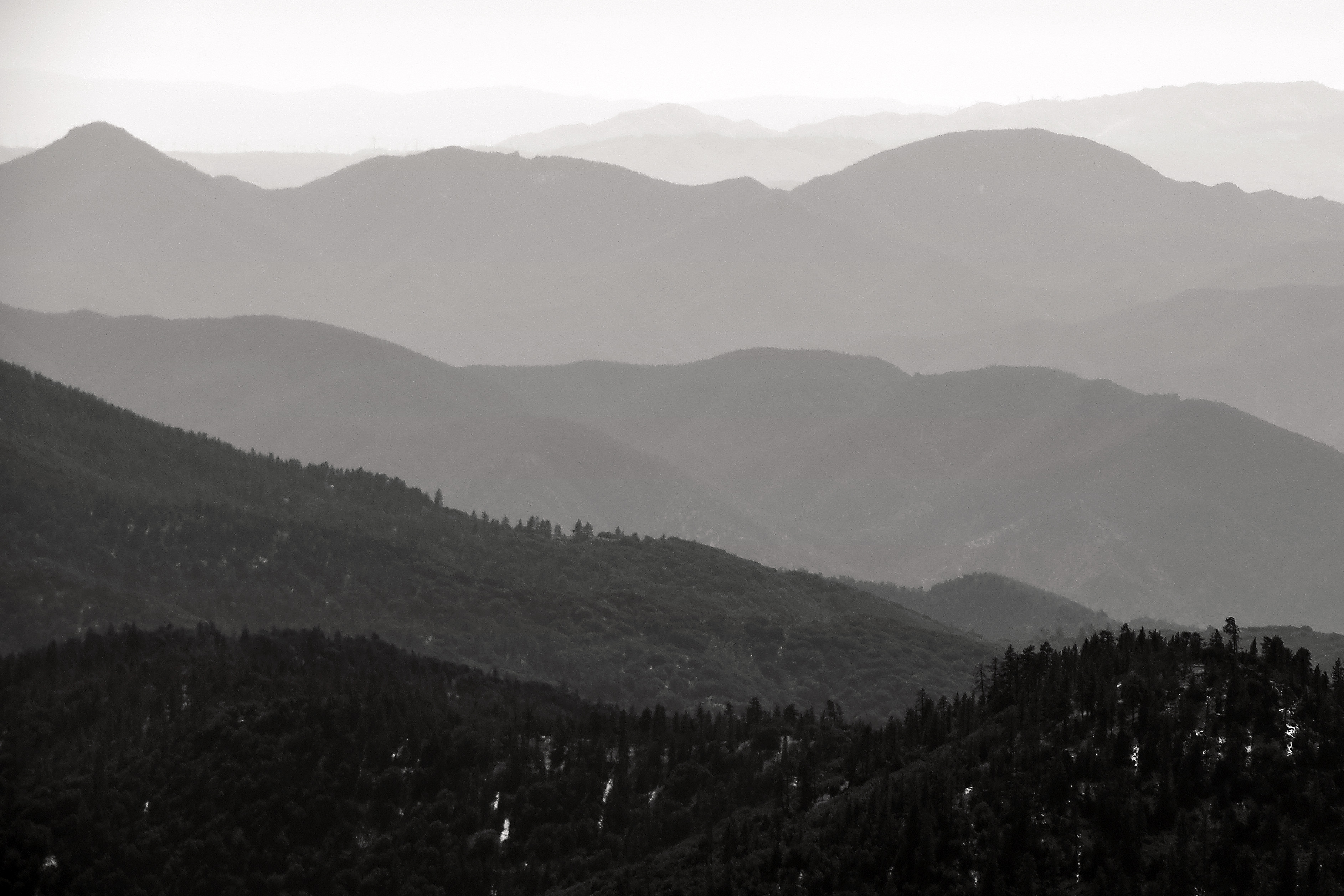
Into the Distance
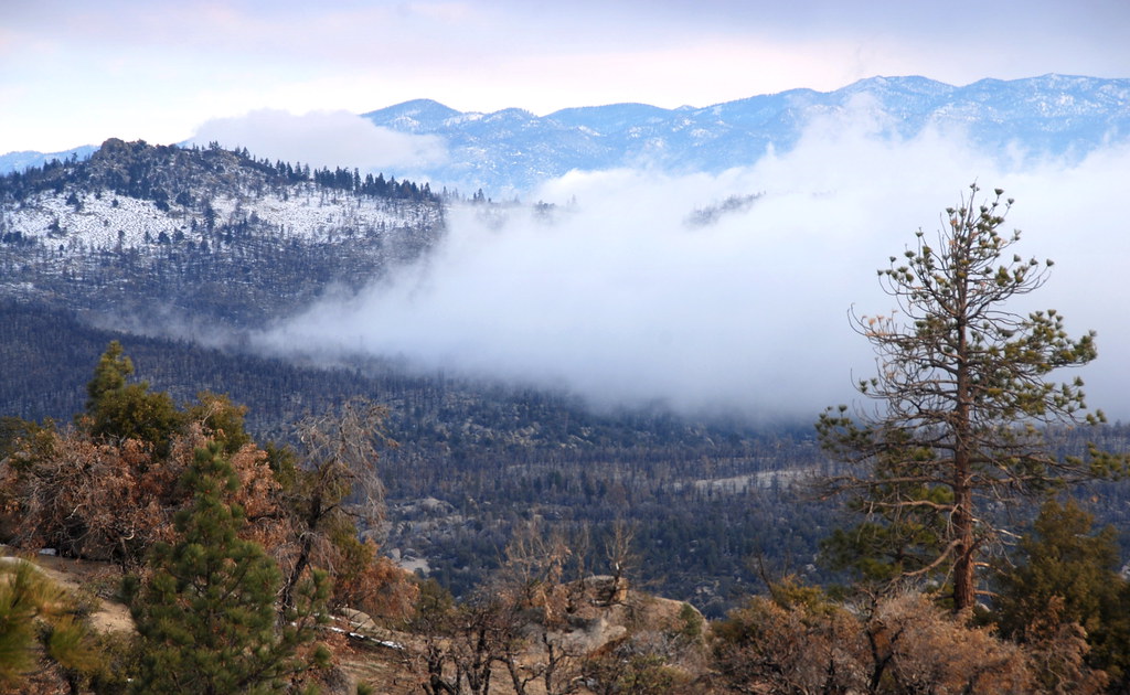
View inton Kelso Valley Road area, PCT, California

View of Caliente Creek region in Kern County
View north from Havilah
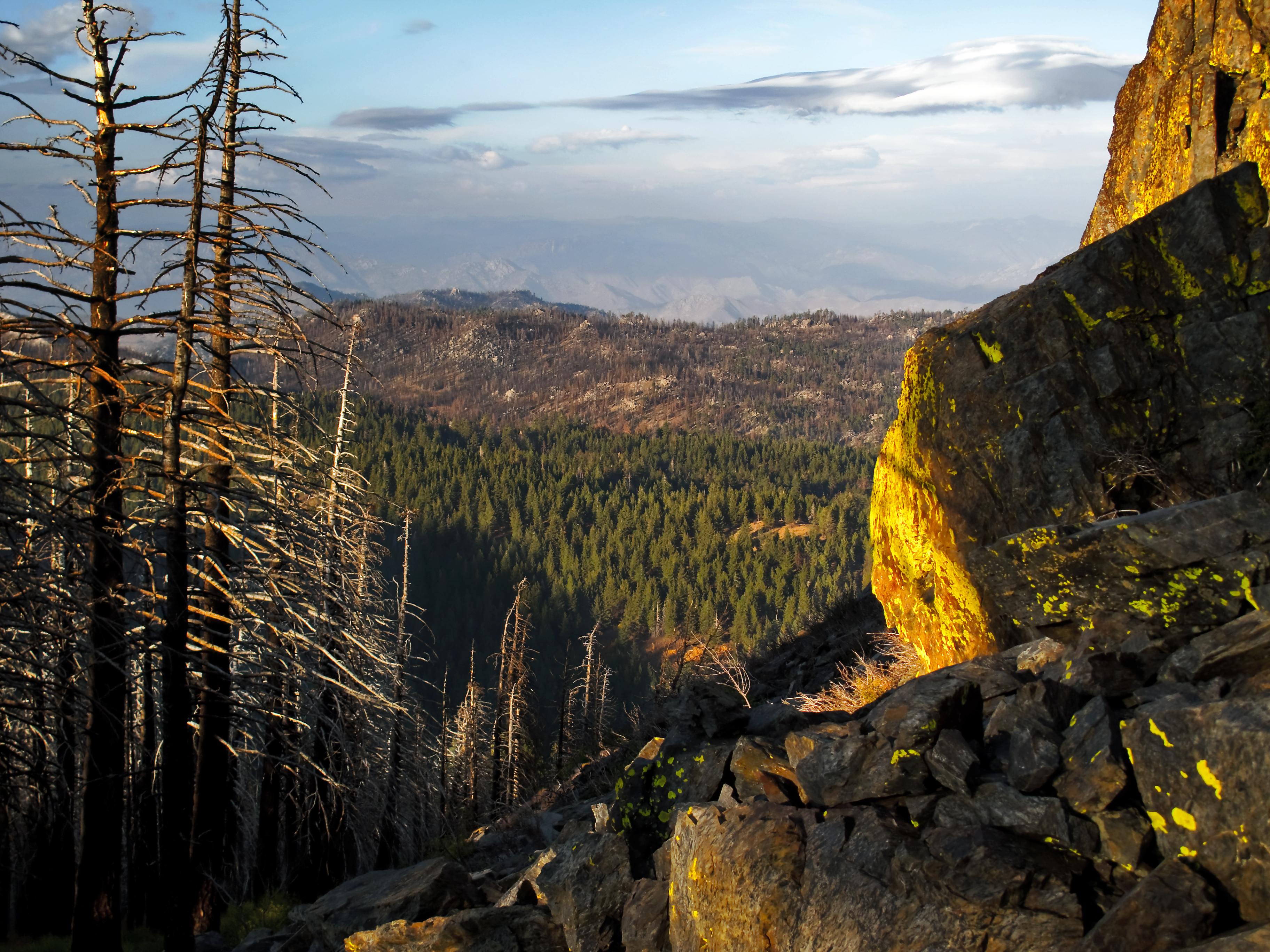
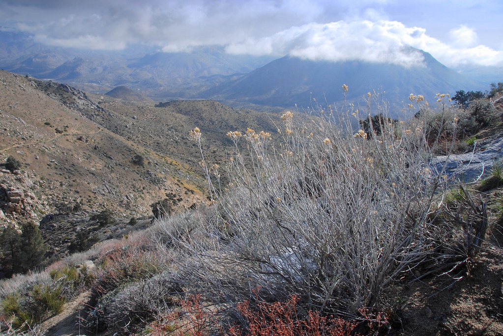
view north from piute lookout
View southeast from Bald Eagle Peak
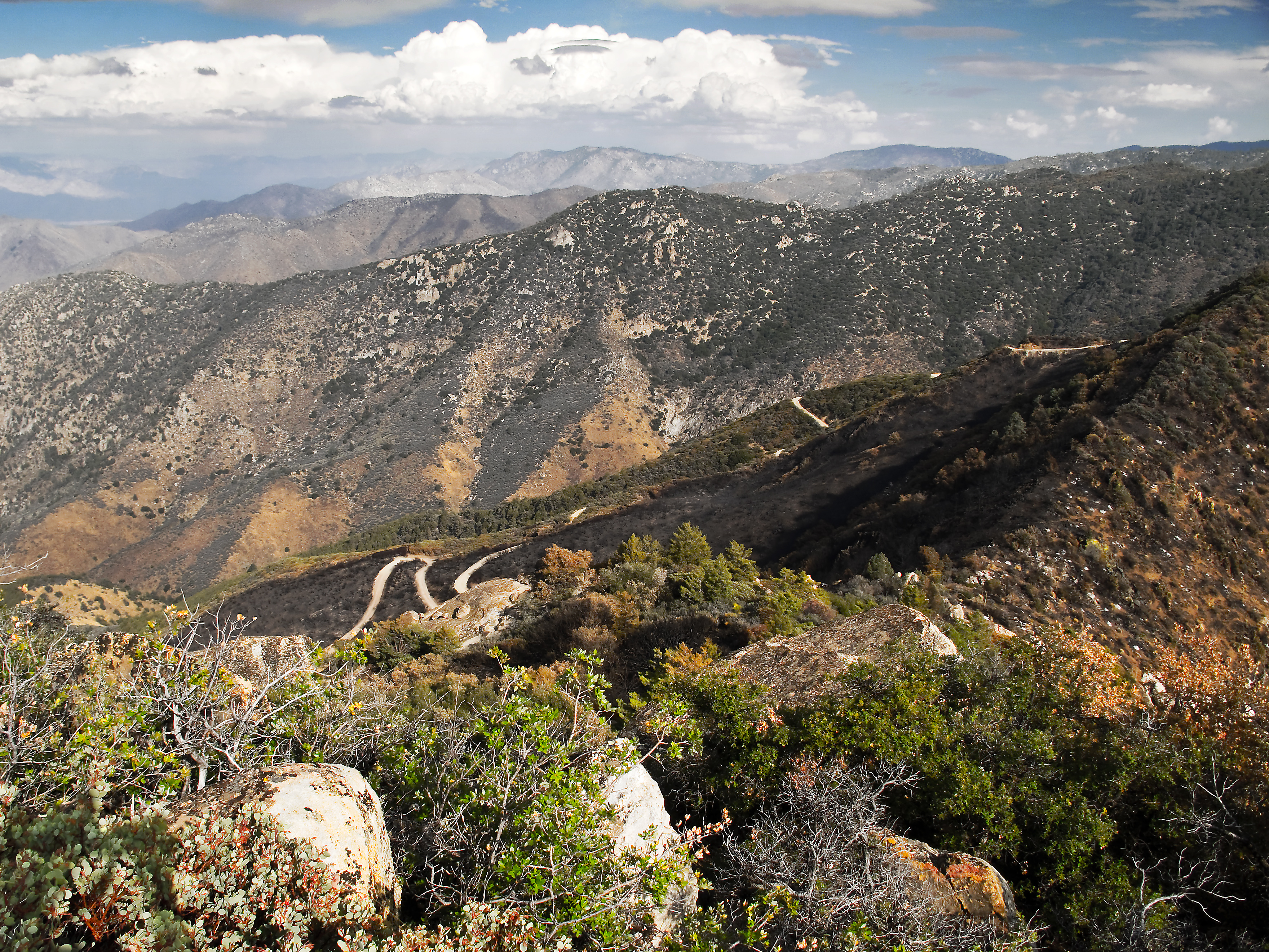
View from near Piute Mountain, PCT, California
View south from PCT near northmost Jawbone Canyon Road Crossing, CA
Topographic Map of Piute Peak, California, USA
Find elevation by address:

Places near Piute Peak, California, USA:
37294 Canton Way
20850 Schell Ranch Rd
13933 Back Canyon Rd
21585 Pine Tree Rd
11501 Sequoia Springs Rd
34554 Sand Canyon Rd
Twin Oaks
Back Canyon Road
200 Piute Meadows Rd
Fern Street
Caliente Bodfish Rd, Havilah, CA, USA
2610 Bodfish Canyon Rd
2610 Bodfish Canyon Rd
2610 Bodfish Canyon Rd
Havilah
9 Hollie Way
2613 Rembach Ave
2607 Rembach Ave
33212 Spring Meadow Rd
11882 Back Canyon Rd
Recent Searches:
- Elevation of Corso Fratelli Cairoli, 35, Macerata MC, Italy
- Elevation of Tallevast Rd, Sarasota, FL, USA
- Elevation of 4th St E, Sonoma, CA, USA
- Elevation of Black Hollow Rd, Pennsdale, PA, USA
- Elevation of Oakland Ave, Williamsport, PA, USA
- Elevation of Pedrógão Grande, Portugal
- Elevation of Klee Dr, Martinsburg, WV, USA
- Elevation of Via Roma, Pieranica CR, Italy
- Elevation of Tavkvetili Mountain, Georgia
- Elevation of Hartfords Bluff Cir, Mt Pleasant, SC, USA