Elevation of Township Rd, Kenton, OH, USA
Location: United States > Ohio > Hardin County > Mcdonald Township >
Longitude: -83.753455
Latitude: 40.5960974
Elevation: 333m / 1093feet
Barometric Pressure: 97KPa
Elevation Map:
Satellite Map:
Related Photos:
Red Roof Cottage View

Crossing Gate, S. Main St.
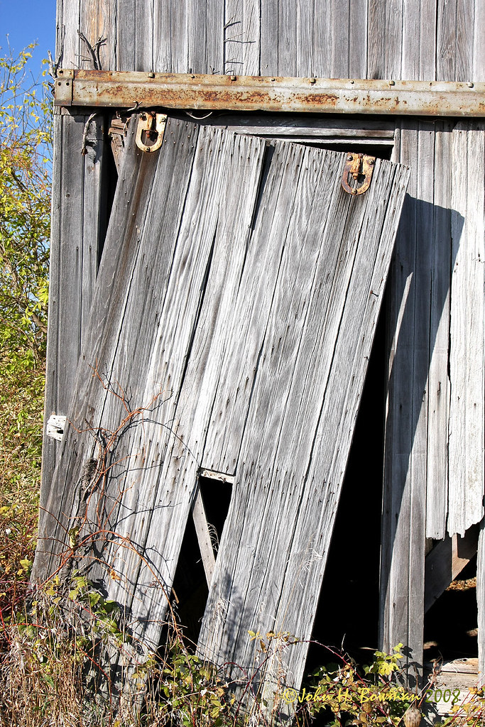
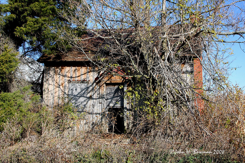
Weathered barn door
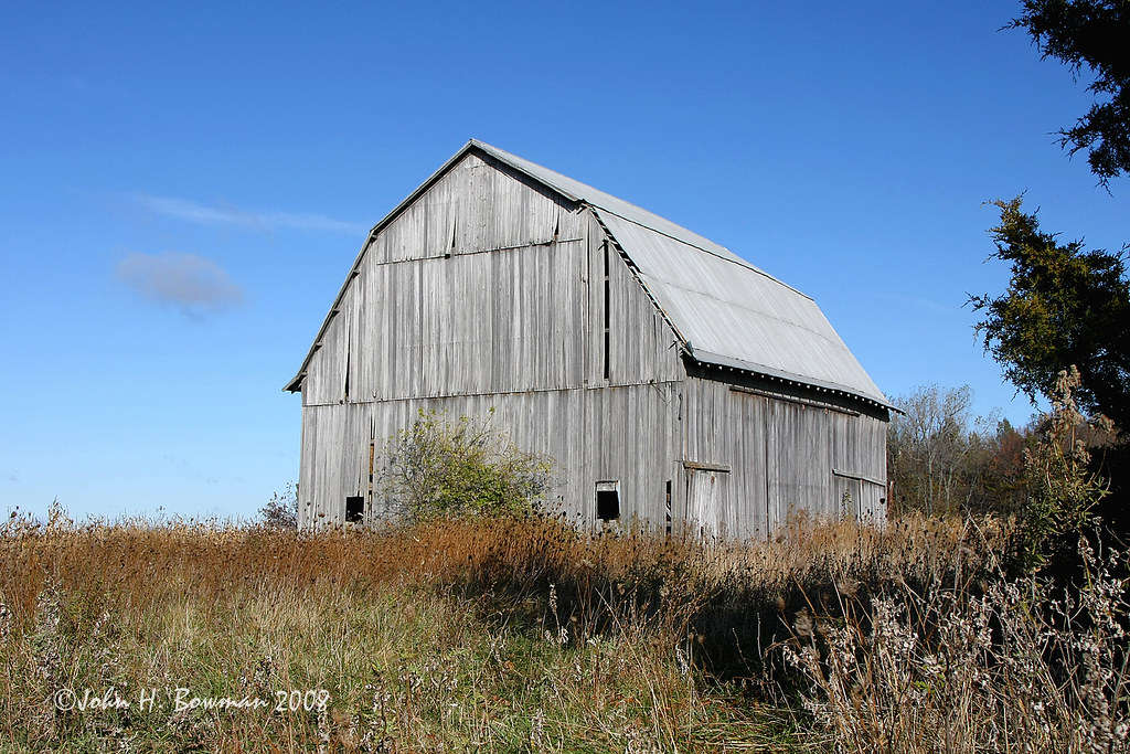
Weathered gray - and blue
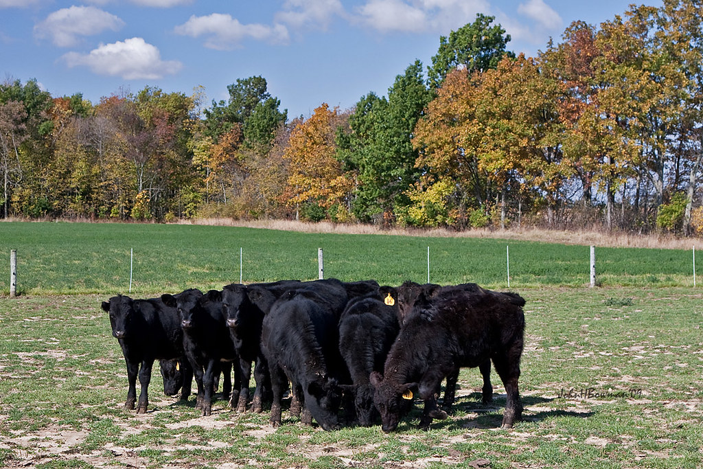
A Lot of Bull
House available - needs minor repairs

Hardin County Ohio Courthouse

view of the Lilly pads
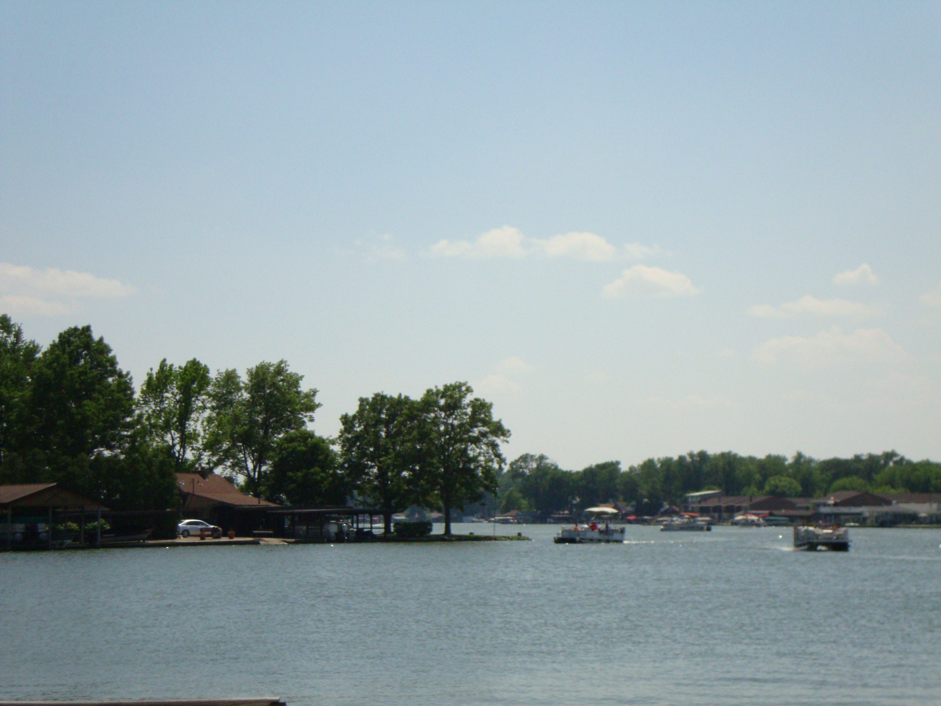
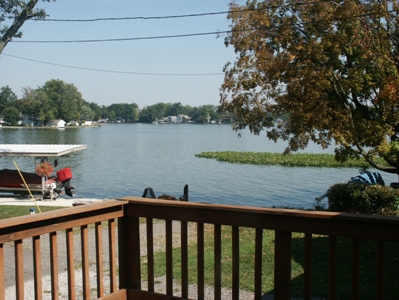
a view

O'Connor's Point #rexmanningweek

Road trip #2

Happy accident
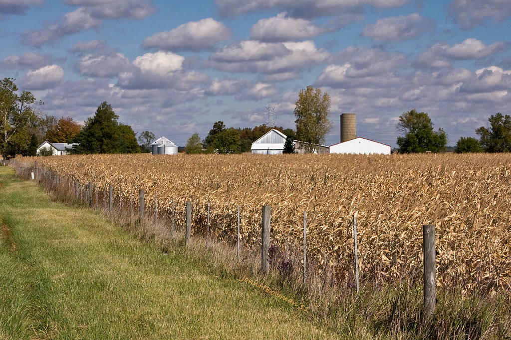
Fall in the Country
Topographic Map of Township Rd, Kenton, OH, USA
Find elevation by address:

Places near Township Rd, Kenton, OH, USA:
Mcdonald Township
Co Rd, Kenton, OH, USA
Belle Center
Courtright St, McGuffey, OH, USA
Marion Township
Richland Township
Hardin County
C-, Belle Center, OH, USA
9012 Hickory Ln
Governors Island
Kenton
1 Court House Sq, Kenton, OH, USA
Rushsylvania
Huntsville
Napoleon St, Huntsville, OH, USA
Township Rd, Kenton, OH, USA
Auditorium St, Lakeview, OH, USA
Rushcreek Township
Ada
Goshen Township
Recent Searches:
- Elevation of Sadovaya Ulitsa, 20, Rezh, Sverdlovskaya oblast', Russia
- Elevation of Ulitsa Kalinina, 79, Rezh, Sverdlovskaya oblast', Russia
- Elevation of 72-31 Metropolitan Ave, Middle Village, NY, USA
- Elevation of 76 Metropolitan Ave, Brooklyn, NY, USA
- Elevation of Alisal Rd, Solvang, CA, USA
- Elevation of Vista Blvd, Sparks, NV, USA
- Elevation of 15th Ave SE, St. Petersburg, FL, USA
- Elevation of Beall Road, Beall Rd, Florida, USA
- Elevation of Leguwa, Nepal
- Elevation of County Rd, Enterprise, AL, USA