Elevation of Governors Island, Stokes Township, OH, USA
Location: United States > Ohio > Logan County > Huntsville >
Longitude: -83.862993
Latitude: 40.4936612
Elevation: 304m / 997feet
Barometric Pressure: 98KPa
Elevation Map:
Satellite Map:
Related Photos:
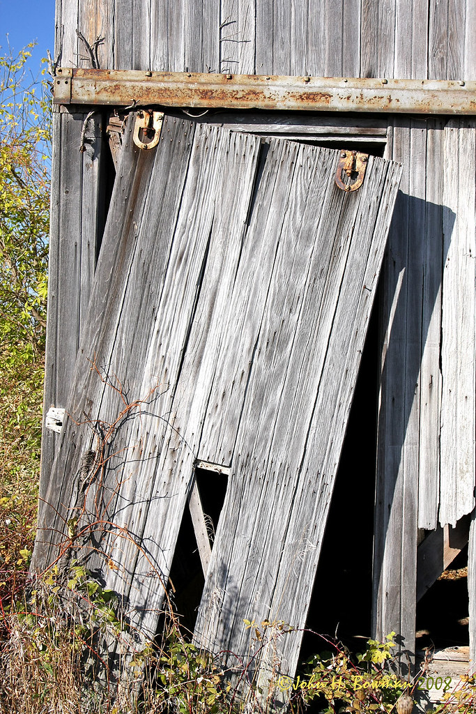
Weathered barn door
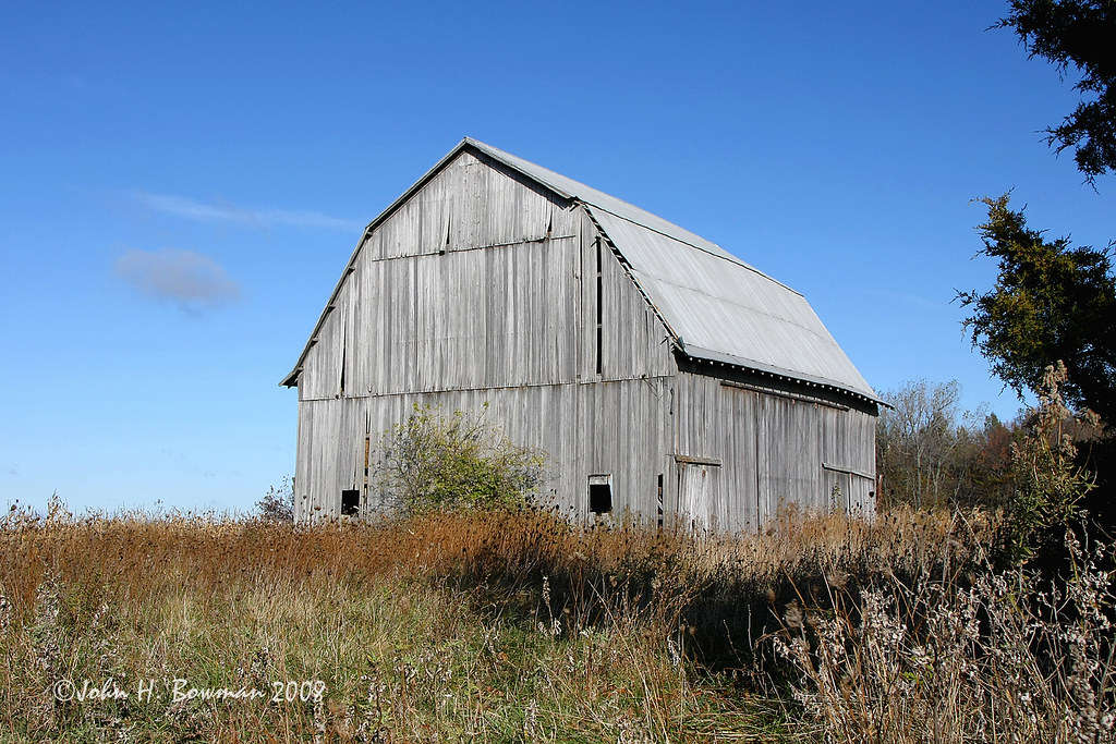
Weathered gray - and blue
August 24, 2013 (Instagram) (Cell Phone)
Red Roof Cottage View

view of the Lilly pads
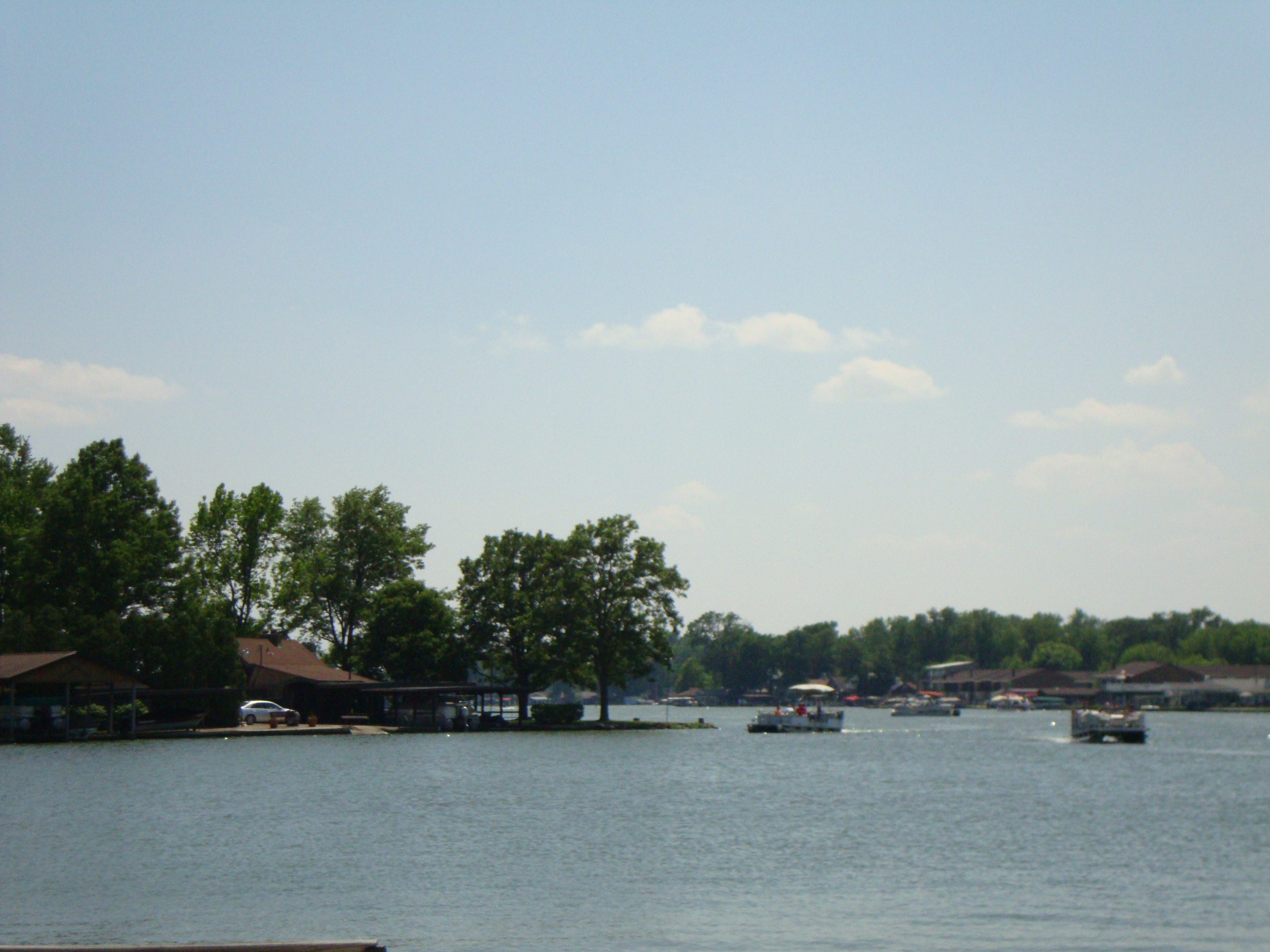
a view
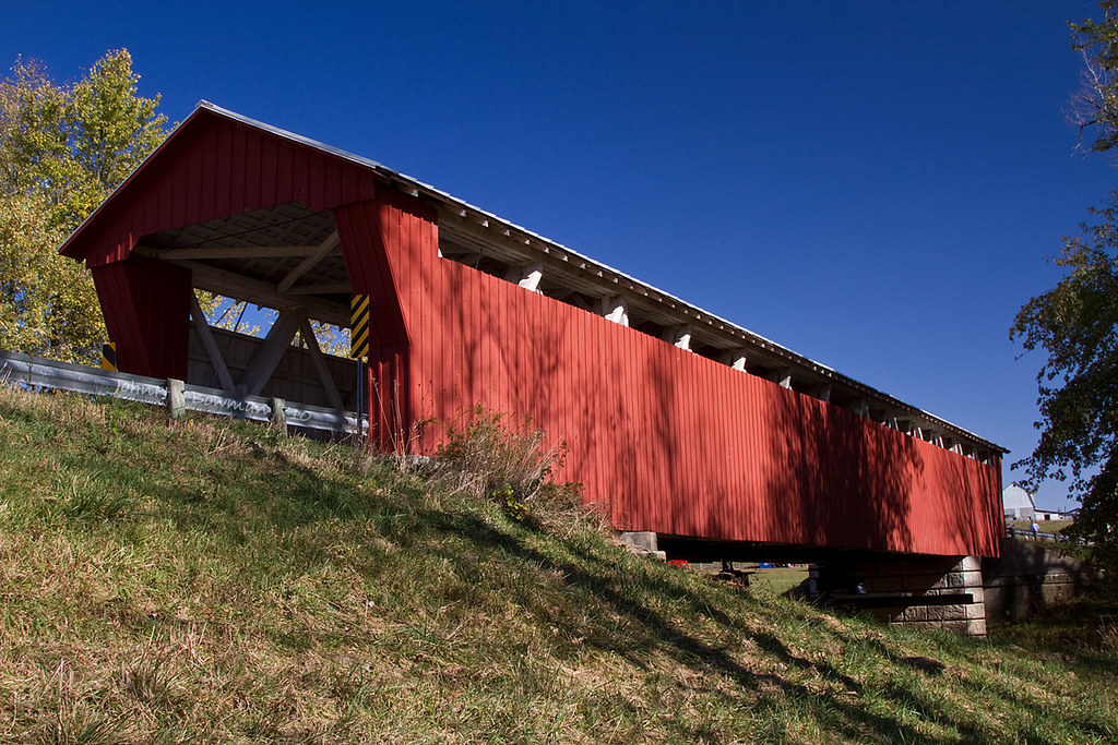
McColley Covered Bridge - Ohio
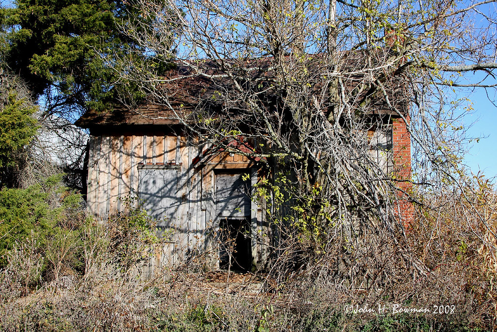
House available - needs minor repairs

Clouds rolling through. #rexmanningweek

Last nights sunset. Already missing the family. #rexmanningweek
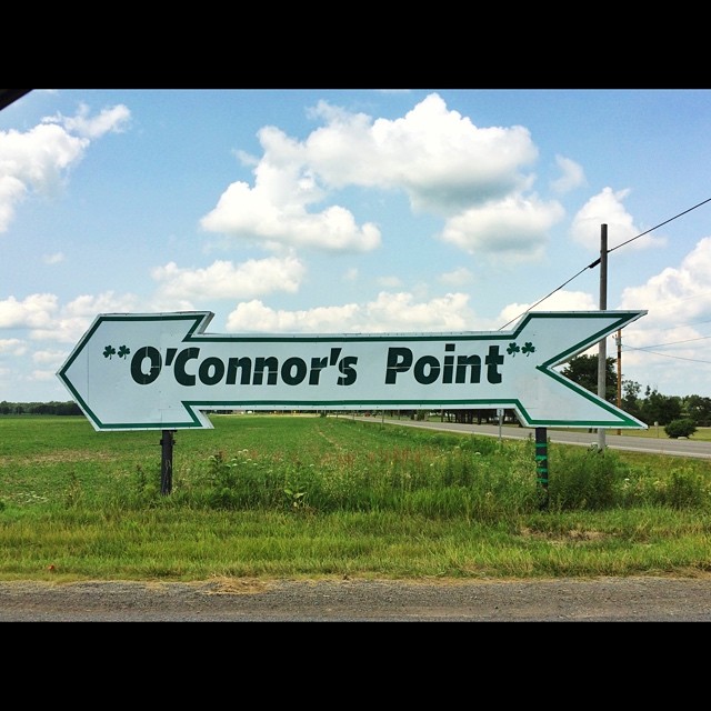
O'Connor's Point #rexmanningweek

"Photography takes an instant out of time, altering life by holding it still.” ~Dorothea Lange

Road trip #2

DSC01050.jpg

Happy accident
Topographic Map of Governors Island, Stokes Township, OH, USA
Find elevation by address:

Places near Governors Island, Stokes Township, OH, USA:
9012 Hickory Ln
C-, Belle Center, OH, USA
Auditorium St, Lakeview, OH, USA
Richland Township
Lakeview
E Lake St, Lakeview, OH, USA
Lewistown
Napoleon St, Huntsville, OH, USA
Huntsville
Logan County
Goshen Township
New Hampshire
Mcdonald Township
Washington Street
Belle Center
Co Rd, Kenton, OH, USA
Township Rd, Kenton, OH, USA
1143 Township Rd 198
Lake Township
1312 Turner Rd
Recent Searches:
- Elevation of Lampiasi St, Sarasota, FL, USA
- Elevation of Elwyn Dr, Roanoke Rapids, NC, USA
- Elevation of Congressional Dr, Stevensville, MD, USA
- Elevation of Bellview Rd, McLean, VA, USA
- Elevation of Stage Island Rd, Chatham, MA, USA
- Elevation of Shibuya Scramble Crossing, 21 Udagawacho, Shibuya City, Tokyo -, Japan
- Elevation of Jadagoniai, Kaunas District Municipality, Lithuania
- Elevation of Pagonija rock, Kranto 7-oji g. 8"N, Kaunas, Lithuania
- Elevation of Co Rd 87, Jamestown, CO, USA
- Elevation of Tenjo, Cundinamarca, Colombia