Elevation of McDonald Township, OH, USA
Location: United States > Ohio > Hardin County >
Longitude: -83.783640
Latitude: 40.5691297
Elevation: 321m / 1053feet
Barometric Pressure: 98KPa
Elevation Map:
Satellite Map:
Related Photos:
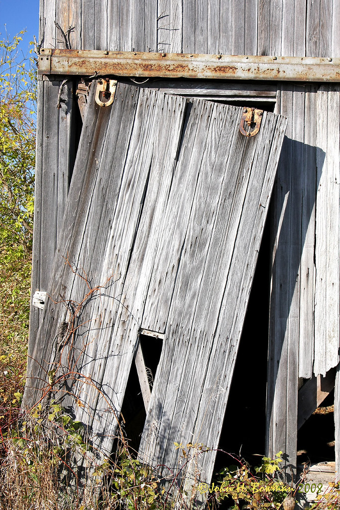
Weathered barn door

Weathered gray - and blue
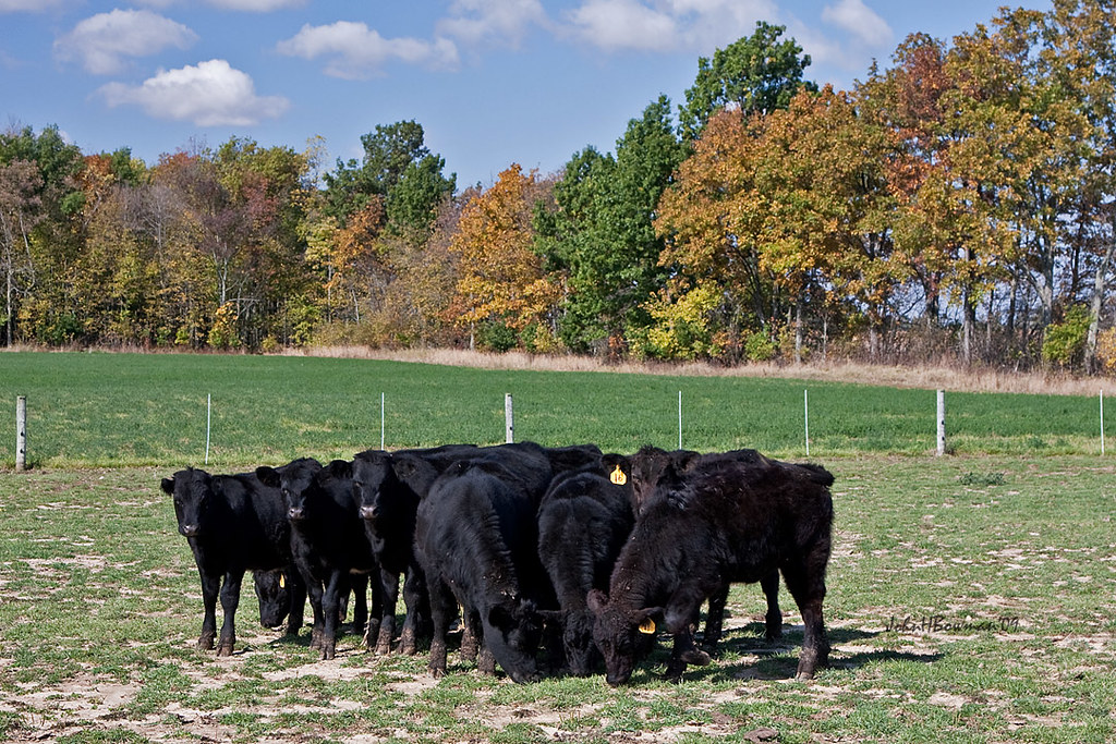
A Lot of Bull
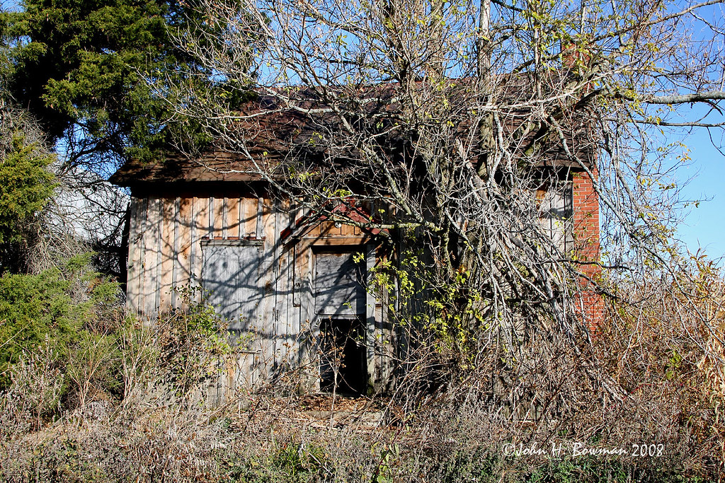
House available - needs minor repairs
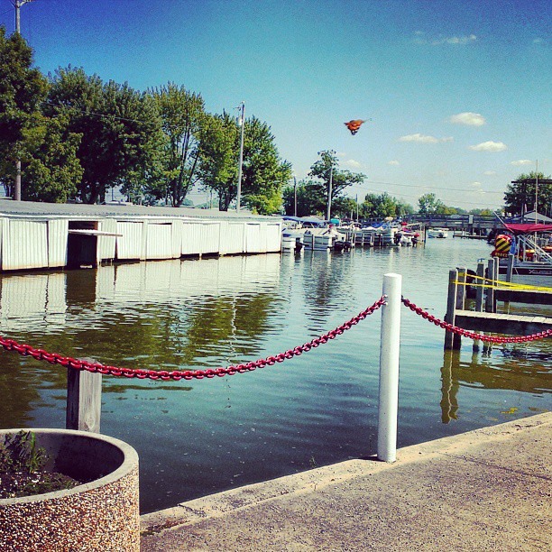
August 24, 2013 (Instagram) (Cell Phone)
Red Roof Cottage View

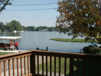
view of the Lilly pads

a view

Road trip #2

O'Connor's Point #rexmanningweek

Happy accident

DSC01050.jpg

DSC01048.jpg

Last nights sunset. Already missing the family. #rexmanningweek

"Photography takes an instant out of time, altering life by holding it still.” ~Dorothea Lange
Topographic Map of McDonald Township, OH, USA
Find elevation by address:

Places in McDonald Township, OH, USA:
Places near McDonald Township, OH, USA:
Township Rd, Kenton, OH, USA
Co Rd, Kenton, OH, USA
Belle Center
Richland Township
C-, Belle Center, OH, USA
9012 Hickory Ln
Governors Island
Courtright St, McGuffey, OH, USA
Huntsville
Napoleon St, Huntsville, OH, USA
Marion Township
Auditorium St, Lakeview, OH, USA
Rushsylvania
Goshen Township
Lakeview
E Lake St, Lakeview, OH, USA
Washington Street
New Hampshire
Hardin County
Lewistown
Recent Searches:
- Elevation of Corso Fratelli Cairoli, 35, Macerata MC, Italy
- Elevation of Tallevast Rd, Sarasota, FL, USA
- Elevation of 4th St E, Sonoma, CA, USA
- Elevation of Black Hollow Rd, Pennsdale, PA, USA
- Elevation of Oakland Ave, Williamsport, PA, USA
- Elevation of Pedrógão Grande, Portugal
- Elevation of Klee Dr, Martinsburg, WV, USA
- Elevation of Via Roma, Pieranica CR, Italy
- Elevation of Tavkvetili Mountain, Georgia
- Elevation of Hartfords Bluff Cir, Mt Pleasant, SC, USA