Elevation of Township Rd, Kenton, OH, USA
Location: United States > Ohio > Hardin County >
Longitude: -83.581415
Latitude: 40.5966663
Elevation: 307m / 1007feet
Barometric Pressure: 98KPa
Elevation Map:
Satellite Map:
Related Photos:

Crossing Gate, S. Main St.

Hardin County Ohio Courthouse
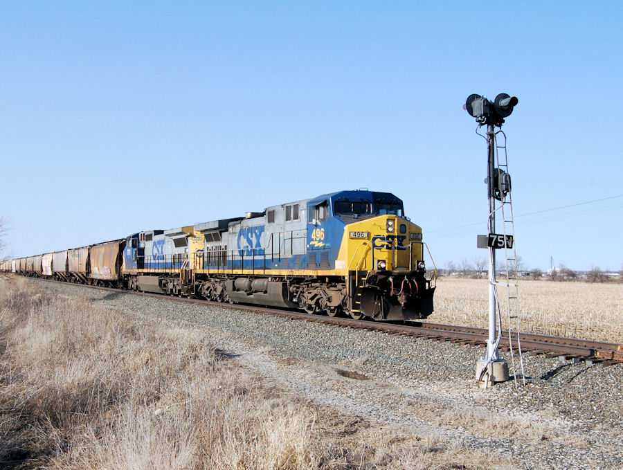
CSX#496 HOLDING BEHIND THE INTERMEDIATE SIGNAL MP#75 SIDE VIEW TOLEDO BRANCH RIDGEWAY,OHIO 3-19-11 SATURDAY

Amish Hay Field

Amish Hay Field II
Kenton-Former King-Ohio Forge Faciltiy (CORF & COAF)
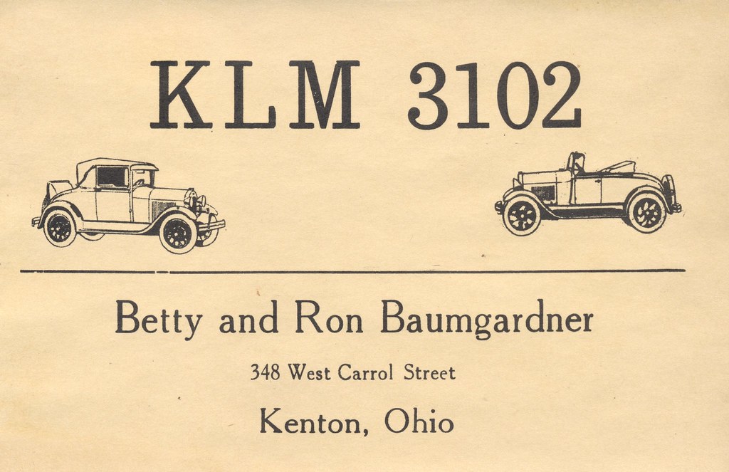
Betty & Ron Baumgardner - Kenton, Ohio

Cruising through #ohio #amish

Last Minute Westbound.
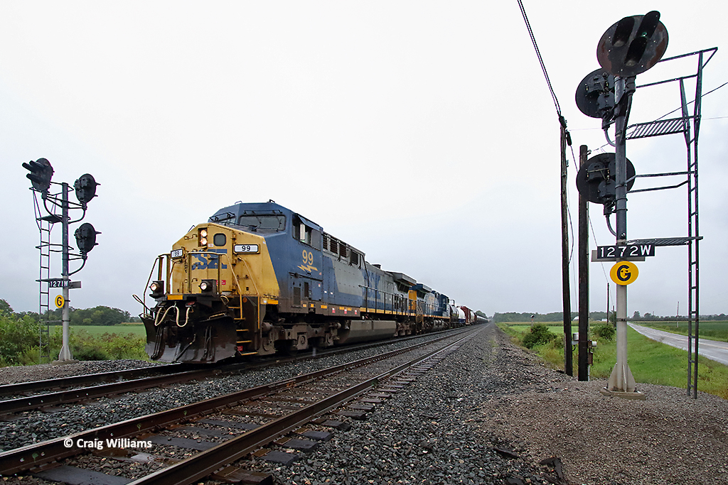
CSXT 99 Eastbound Q319 West of Ridgeway OH

Whiffs of Conrail
Topographic Map of Township Rd, Kenton, OH, USA
Find elevation by address:

Places near Township Rd, Kenton, OH, USA:
Kenton
1 Court House Sq, Kenton, OH, USA
E Taylor St, Mt Victory, OH, USA
Co Rd, Kenton, OH, USA
Hardin County
Rushsylvania
Township Rd, Kenton, OH, USA
OH-53, Forest, OH, USA
Rushcreek Township
Belle Center
349 River St
371 N Front St
268 N Front St
30 S High St, La Rue, OH, USA
La Rue
149 S High St
Mcdonald Township
Co Rd, Kenton, OH, USA
Marseilles
Main St, Upper Sandusky, OH, USA
Recent Searches:
- Elevation of Sadovaya Ulitsa, 20, Rezh, Sverdlovskaya oblast', Russia
- Elevation of Ulitsa Kalinina, 79, Rezh, Sverdlovskaya oblast', Russia
- Elevation of 72-31 Metropolitan Ave, Middle Village, NY, USA
- Elevation of 76 Metropolitan Ave, Brooklyn, NY, USA
- Elevation of Alisal Rd, Solvang, CA, USA
- Elevation of Vista Blvd, Sparks, NV, USA
- Elevation of 15th Ave SE, St. Petersburg, FL, USA
- Elevation of Beall Road, Beall Rd, Florida, USA
- Elevation of Leguwa, Nepal
- Elevation of County Rd, Enterprise, AL, USA