Elevation of 1 Court House Sq, Kenton, OH, USA
Location: United States > Ohio > Hardin County >
Longitude: -83.608629
Latitude: 40.6476765
Elevation: 307m / 1007feet
Barometric Pressure: 98KPa
Elevation Map:
Satellite Map:
Related Photos:
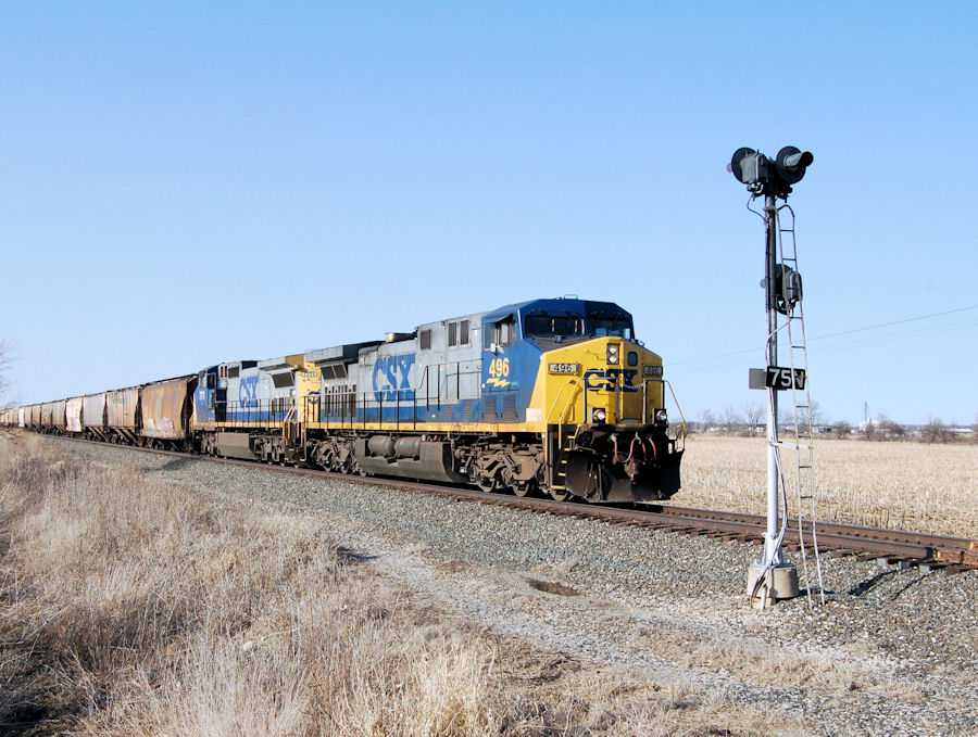
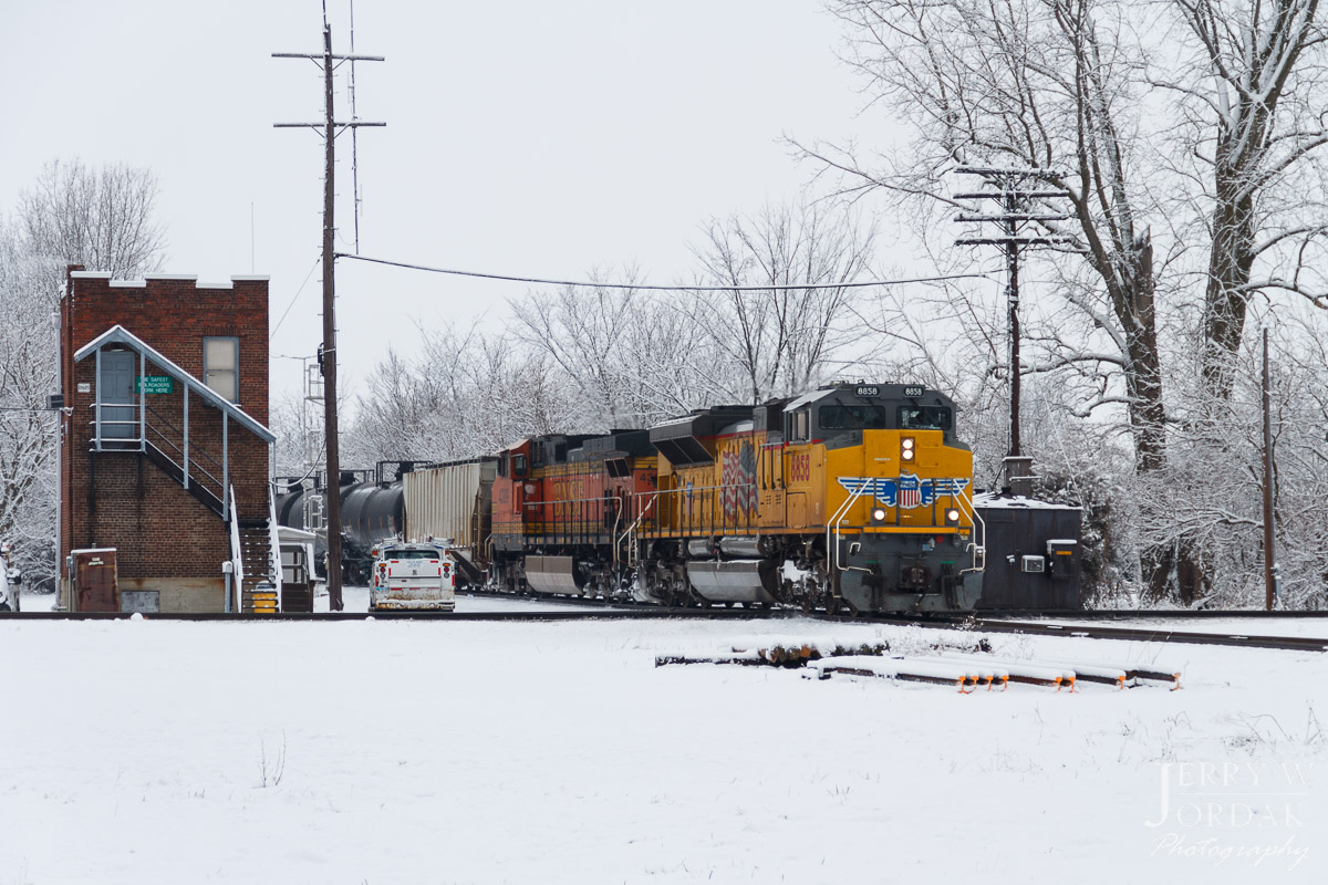
CSX#496 HOLDING BEHIND THE INTERMEDIATE SIGNAL MP#75 SIDE VIEW TOLEDO BRANCH RIDGEWAY,OHIO 3-19-11 SATURDAY

Crossing Gate, S. Main St.
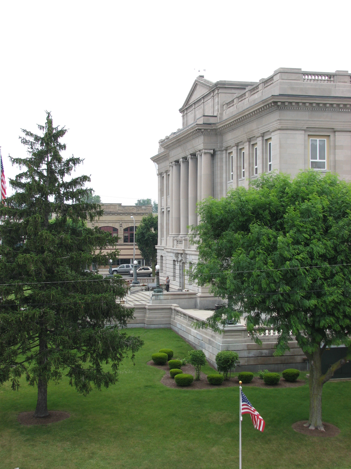
Hardin County Ohio Courthouse

Amish Hay Field

Amish Hay Field II
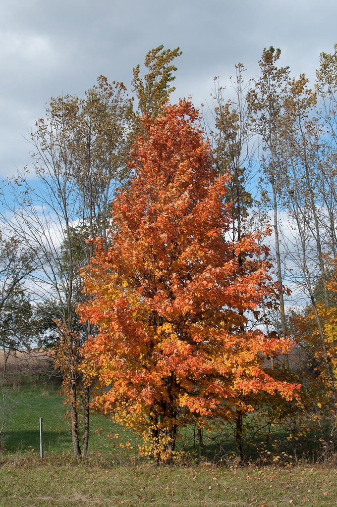
Fall Colors,
Kenton-Former King-Ohio Forge Faciltiy (CORF & COAF)
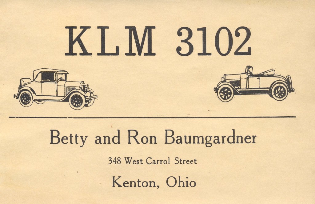
Betty & Ron Baumgardner - Kenton, Ohio
64E, Clear Dunkirk

Cruising through #ohio #amish
Topographic Map of 1 Court House Sq, Kenton, OH, USA
Find elevation by address:

Places near 1 Court House Sq, Kenton, OH, USA:
Kenton
Township Rd, Kenton, OH, USA
Hardin County
Co Rd, Kenton, OH, USA
OH-53, Forest, OH, USA
E Taylor St, Mt Victory, OH, USA
Township Rd, Kenton, OH, USA
Courtright St, McGuffey, OH, USA
Co Rd, Kenton, OH, USA
Mcdonald Township
Rushsylvania
Belle Center
Rushcreek Township
Marion Township
Marseilles
Main St, Upper Sandusky, OH, USA
349 River St
Marseilles Township
371 N Front St
268 N Front St
Recent Searches:
- Elevation of 72-31 Metropolitan Ave, Middle Village, NY, USA
- Elevation of 76 Metropolitan Ave, Brooklyn, NY, USA
- Elevation of Alisal Rd, Solvang, CA, USA
- Elevation of Vista Blvd, Sparks, NV, USA
- Elevation of 15th Ave SE, St. Petersburg, FL, USA
- Elevation of Beall Road, Beall Rd, Florida, USA
- Elevation of Leguwa, Nepal
- Elevation of County Rd, Enterprise, AL, USA
- Elevation of Kolchuginsky District, Vladimir Oblast, Russia
- Elevation of Shustino, Vladimir Oblast, Russia