Elevation map of Timber Mountain, Nevada, USA
Location: United States > Pahrump >
Longitude: -115.50030
Latitude: 38.3493859
Elevation: 3122m / 10243feet
Barometric Pressure: 69KPa
Elevation Map:
Satellite Map:
Related Photos:

P1030128

P1030117

P1030124

P1030125
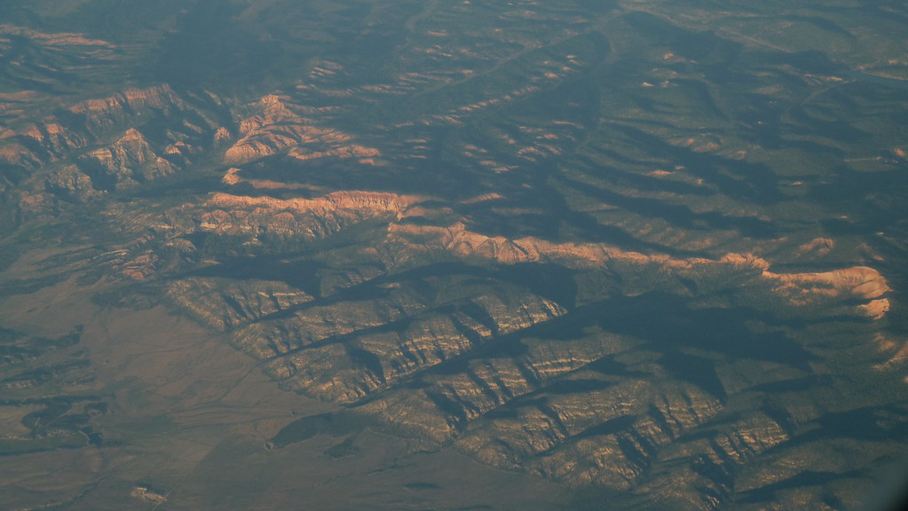
P1030114
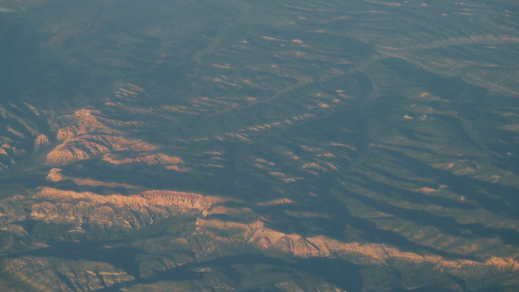
P1030113

P1030122
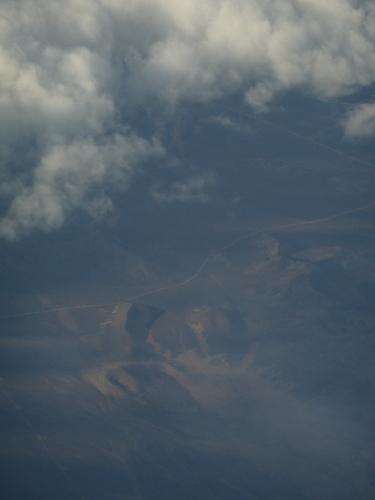
P1030112

P1030121

P1030120
Topographic Map of Timber Mountain, Nevada, USA
Find elevation by address:

Places near Timber Mountain, Nevada, USA:
Troy Peak
Blue Eagle Mountain
Cherry Creek Campground
Troy Mountain
Mystery Mountain
Quinn Canyon Range Hp
Stairstep Mountain
White Pine Peak
Currant Mountain
Red Mountain
Red Mountain East
Pahrump
Nye County
Duckwater Peak
White River Campground
Corduroy Mountain
Indian Garden Mountain
Shellback Ridge
Limestone Peak
Morey Peak
Recent Searches:
- Elevation of Corso Fratelli Cairoli, 35, Macerata MC, Italy
- Elevation of Tallevast Rd, Sarasota, FL, USA
- Elevation of 4th St E, Sonoma, CA, USA
- Elevation of Black Hollow Rd, Pennsdale, PA, USA
- Elevation of Oakland Ave, Williamsport, PA, USA
- Elevation of Pedrógão Grande, Portugal
- Elevation of Klee Dr, Martinsburg, WV, USA
- Elevation of Via Roma, Pieranica CR, Italy
- Elevation of Tavkvetili Mountain, Georgia
- Elevation of Hartfords Bluff Cir, Mt Pleasant, SC, USA