Elevation of Cherry Creek Campground, Ely, NV, United States
Location: United States > Nevada > Alamo >
Longitude: -115.62531
Latitude: 38.15349
Elevation: 2071m / 6795feet
Barometric Pressure: 79KPa
Elevation Map:
Satellite Map:
Related Photos:
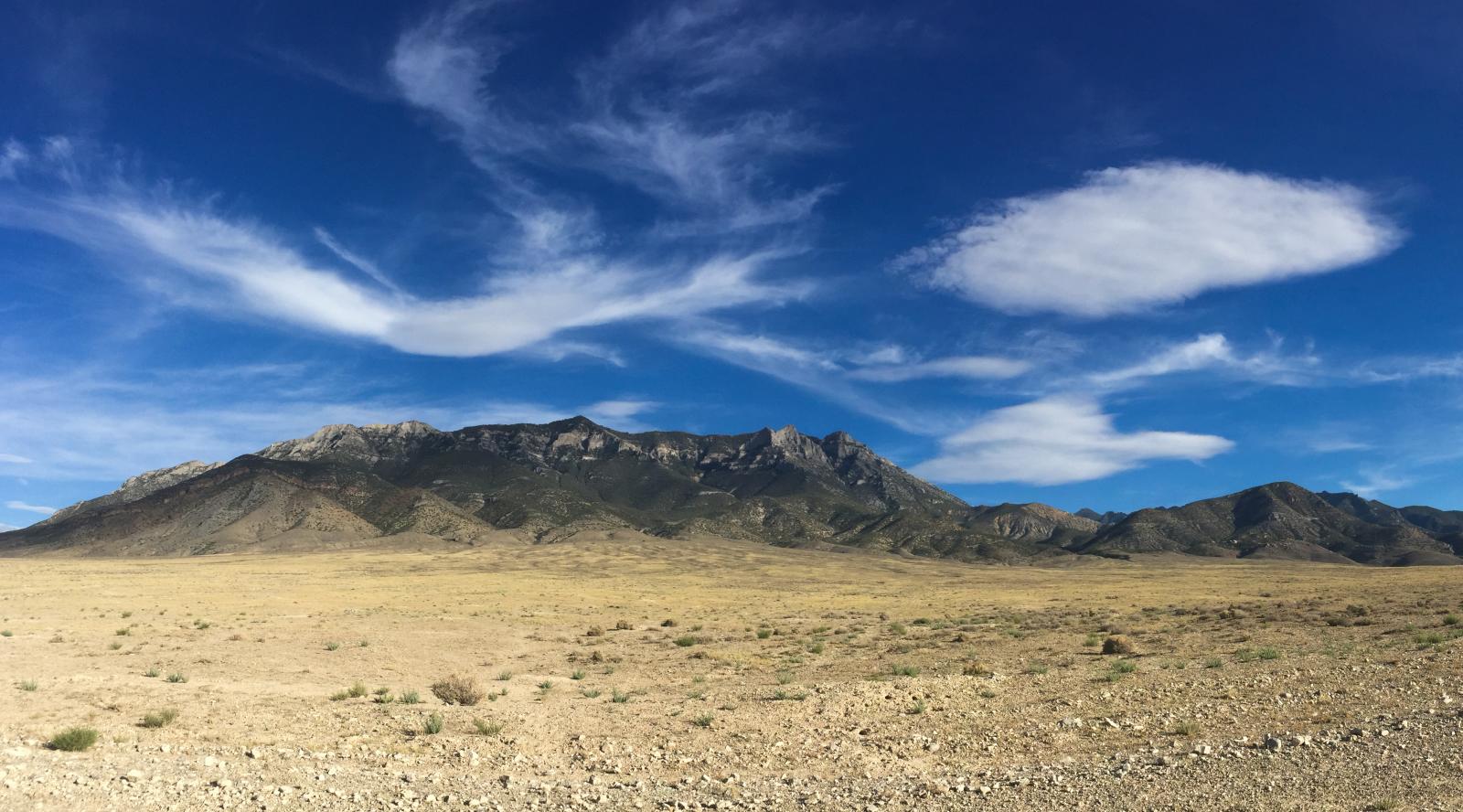
Dry peaks of the Seaman Range near Hiko, Nevada

Jazmine and meghan
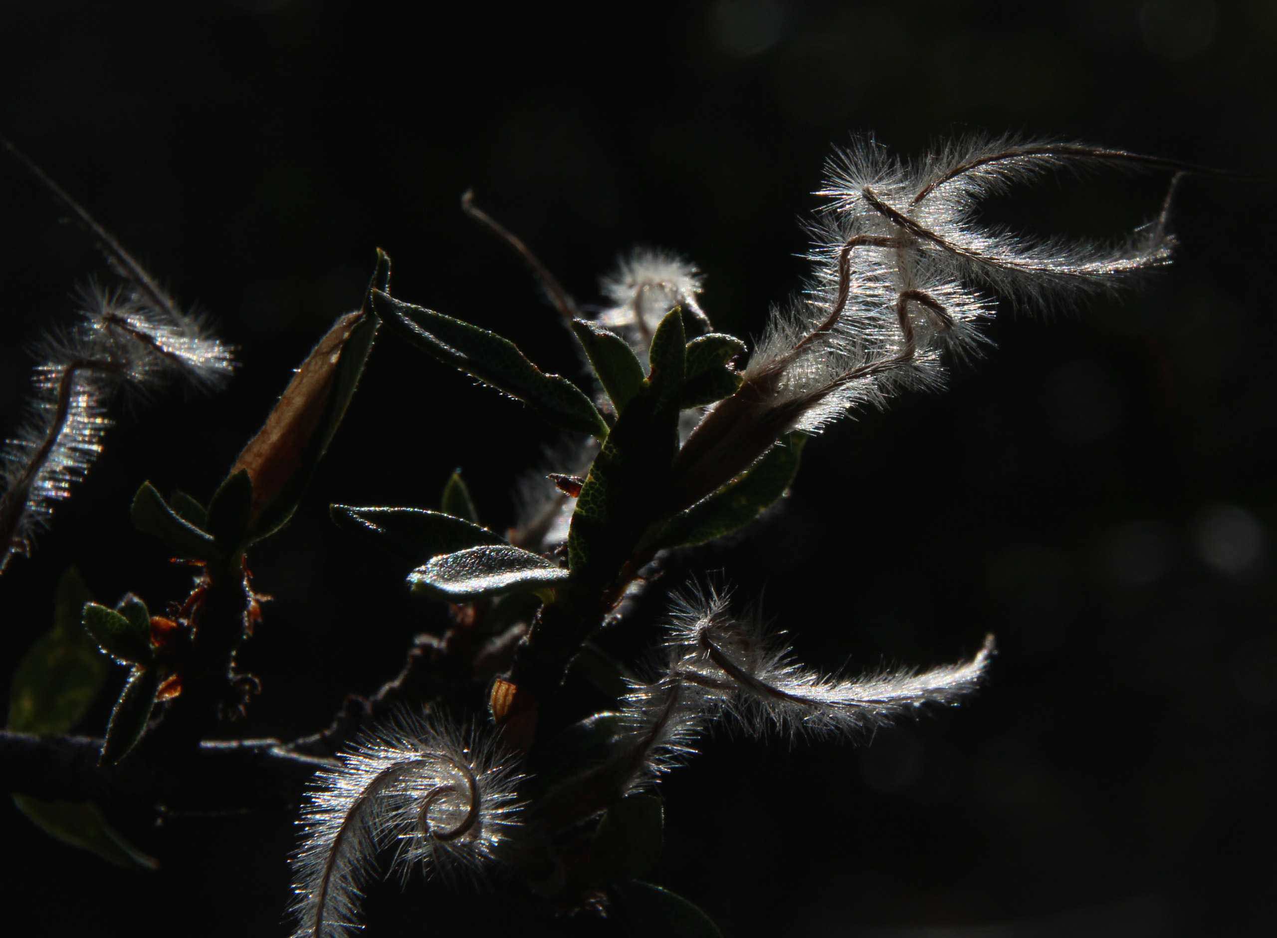
Curly seeds; Quinn Mountains, Nevada
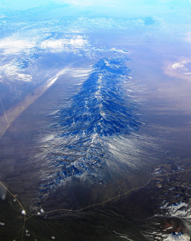
Worthington Mountains
Topographic Map of Cherry Creek Campground, Ely, NV, United States
Find elevation by address:

Places near Cherry Creek Campground, Ely, NV, United States:
Troy Mountain
Mystery Mountain
Quinn Canyon Range Hp
Stairstep Mountain
Troy Peak
Timber Mountain
Blue Eagle Mountain
Pahrump
Nye County
White Pine Peak
Currant Mountain
Red Mountain
Red Mountain East
Duckwater Peak
Rawhide Mountain
Twin Peaks East
Morey Peak
Little Rawhide Mountain
Amethyst Peak
Flagstaff Mountain
Recent Searches:
- Elevation of Corso Fratelli Cairoli, 35, Macerata MC, Italy
- Elevation of Tallevast Rd, Sarasota, FL, USA
- Elevation of 4th St E, Sonoma, CA, USA
- Elevation of Black Hollow Rd, Pennsdale, PA, USA
- Elevation of Oakland Ave, Williamsport, PA, USA
- Elevation of Pedrógão Grande, Portugal
- Elevation of Klee Dr, Martinsburg, WV, USA
- Elevation of Via Roma, Pieranica CR, Italy
- Elevation of Tavkvetili Mountain, Georgia
- Elevation of Hartfords Bluff Cir, Mt Pleasant, SC, USA