Elevation map of Flagstaff Mountain, Nevada, USA
Location: United States > Nevada > Tonopah >
Longitude: -116.40144
Latitude: 38.4629892
Elevation: 2589m / 8494feet
Barometric Pressure: 74KPa
Elevation Map:
Satellite Map:
Related Photos:
Take II
Nevada 2005

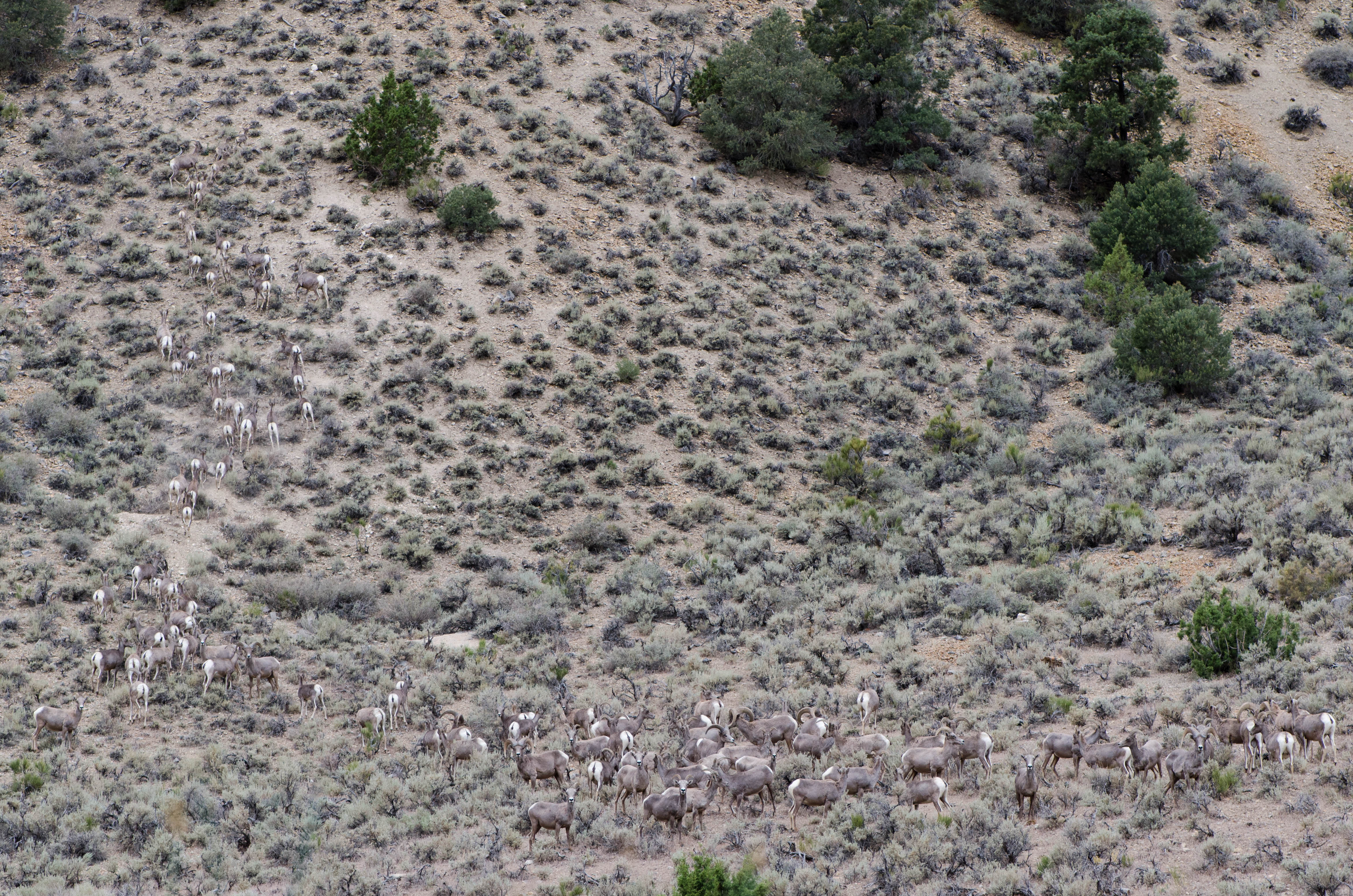
Bighorn Sheep
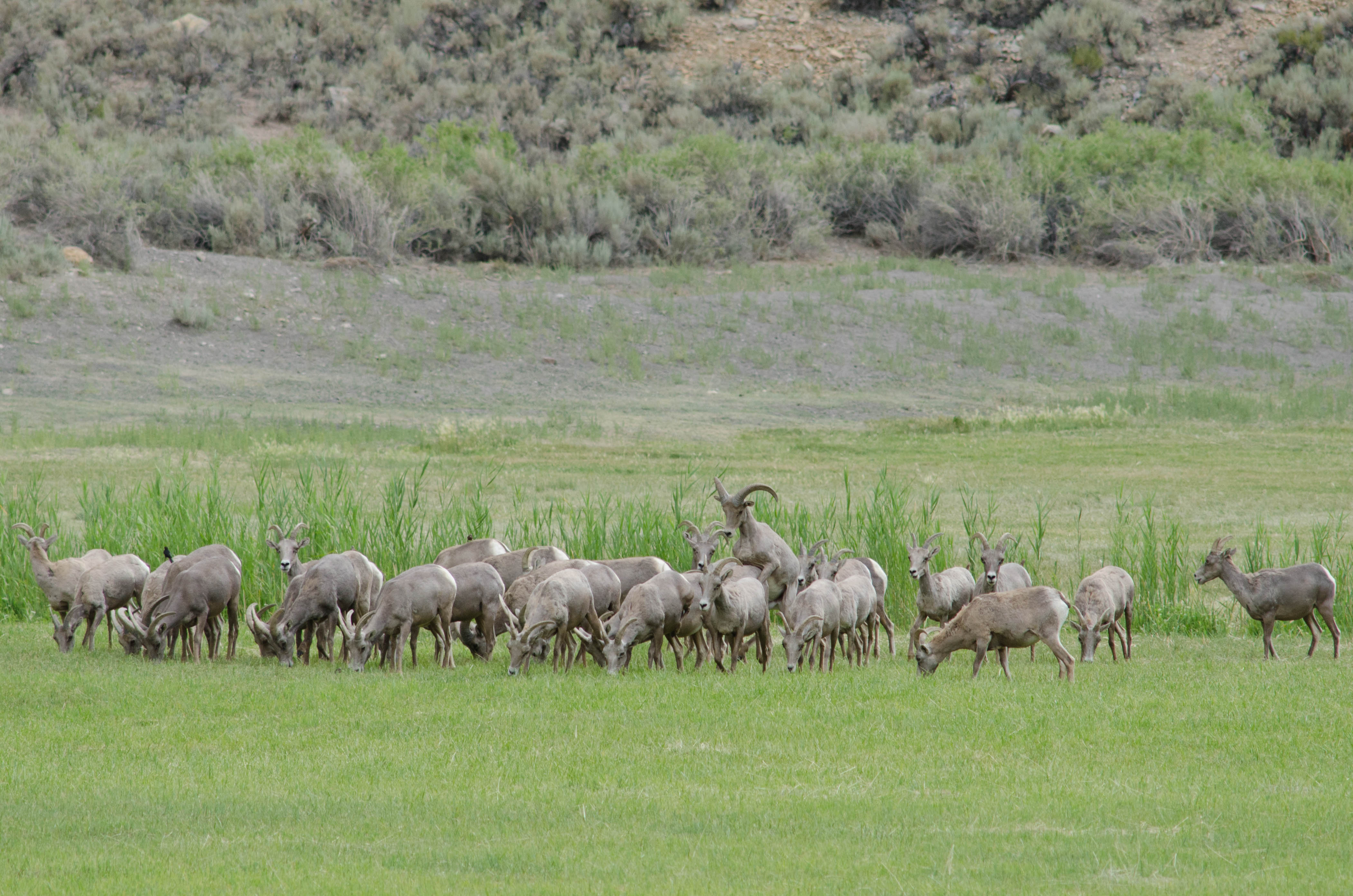
Bighorn Sheep

"All is strange and vague" — Yakko (Animaniacs)
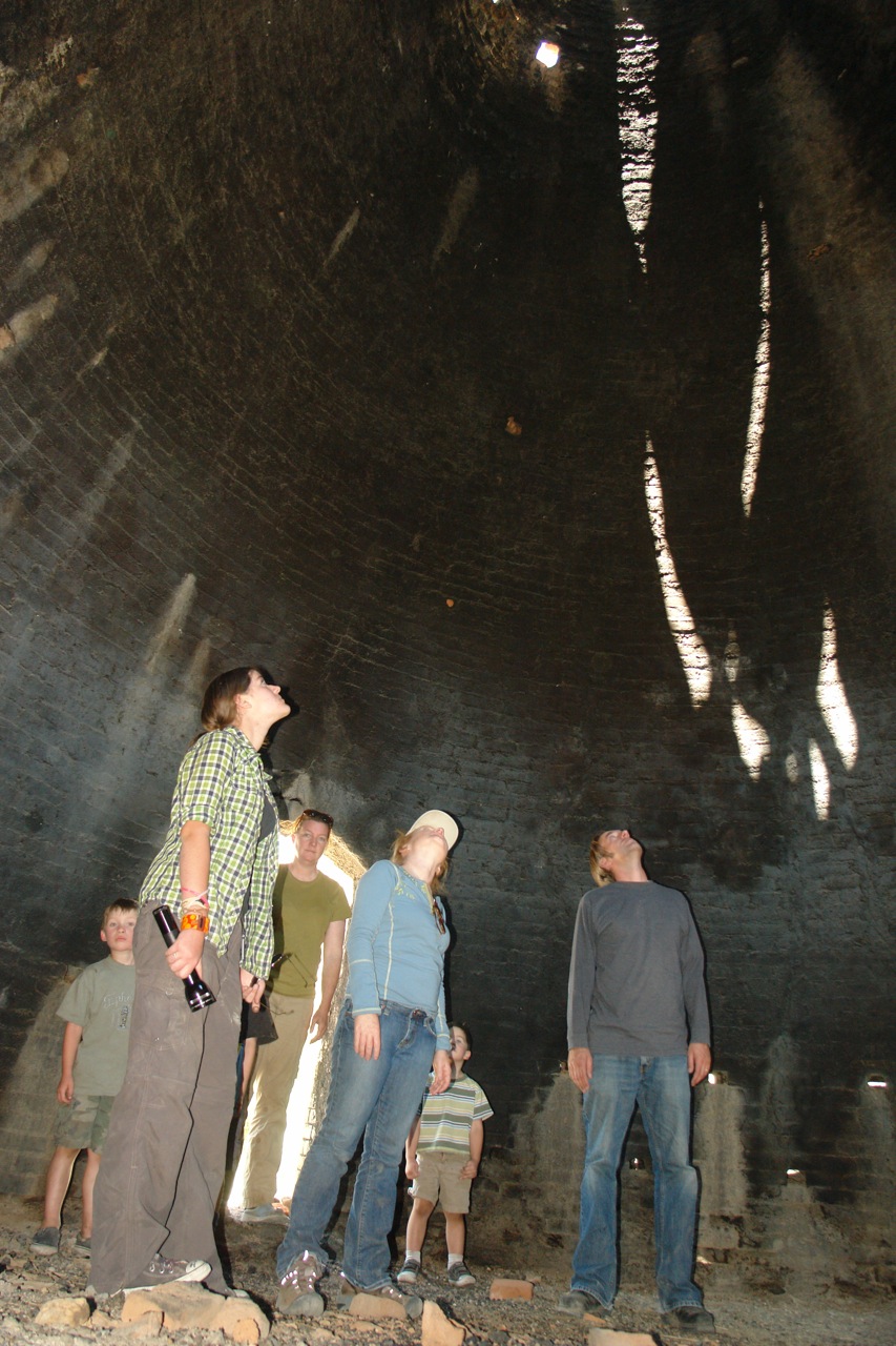
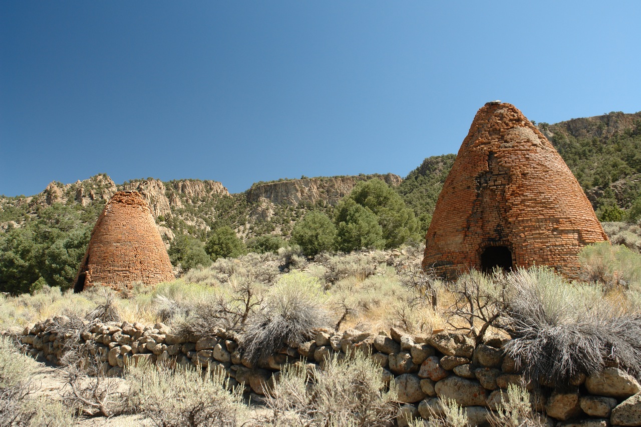
Kiln Explorers

GM_16-01-11_132634.jpg
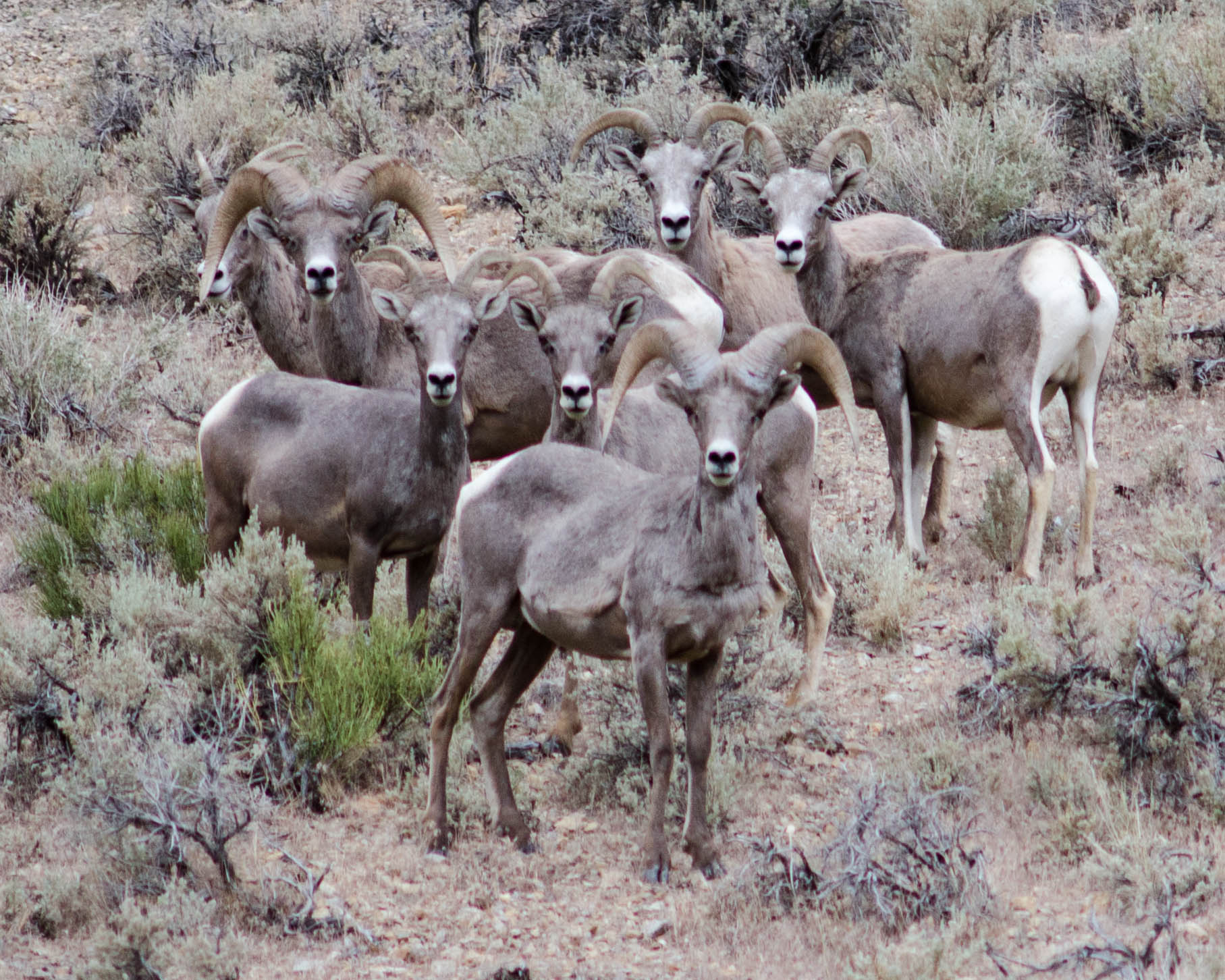
BIghorn Sheep
BIghorn Sheep
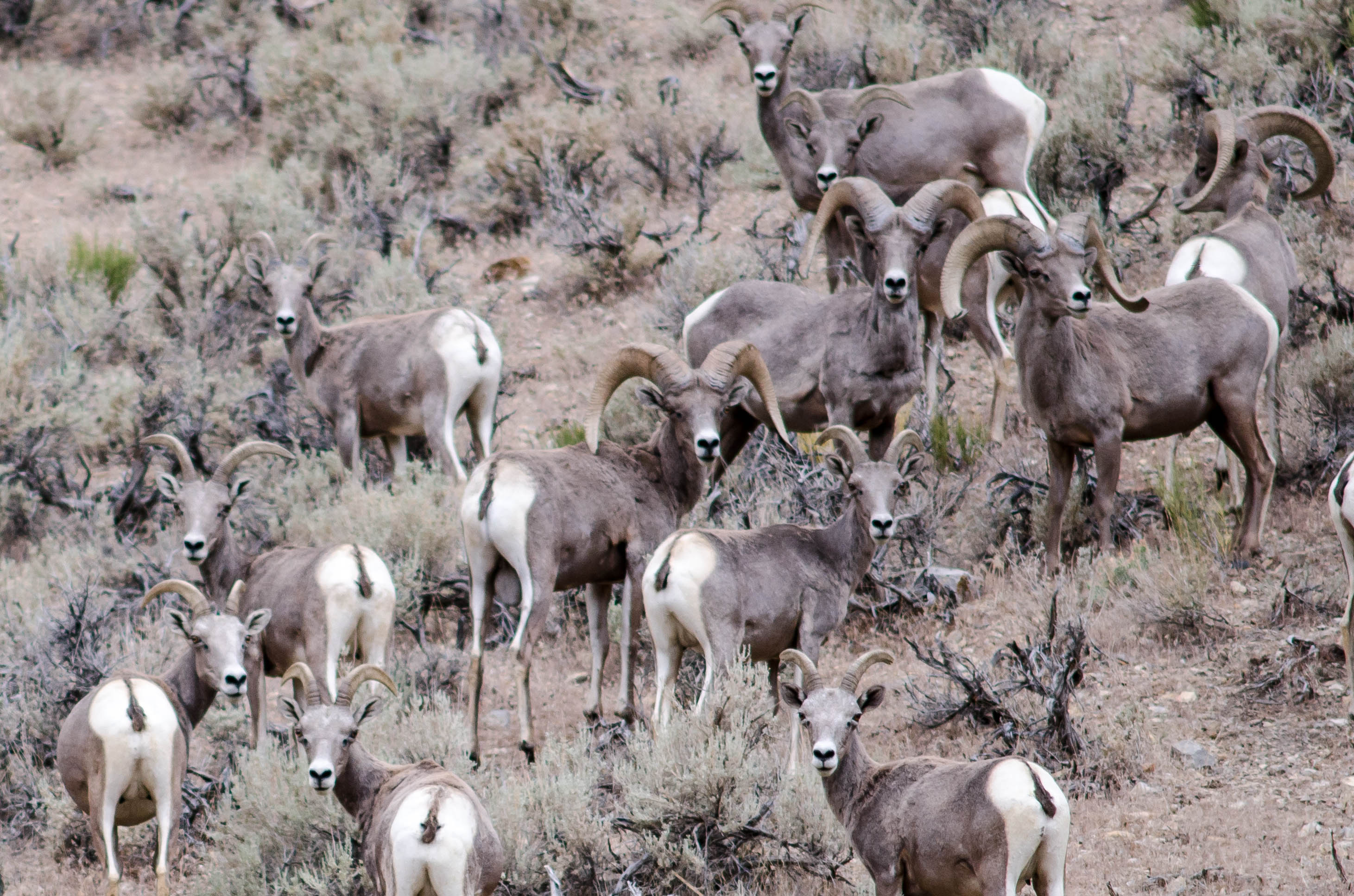
BIghorn Sheep

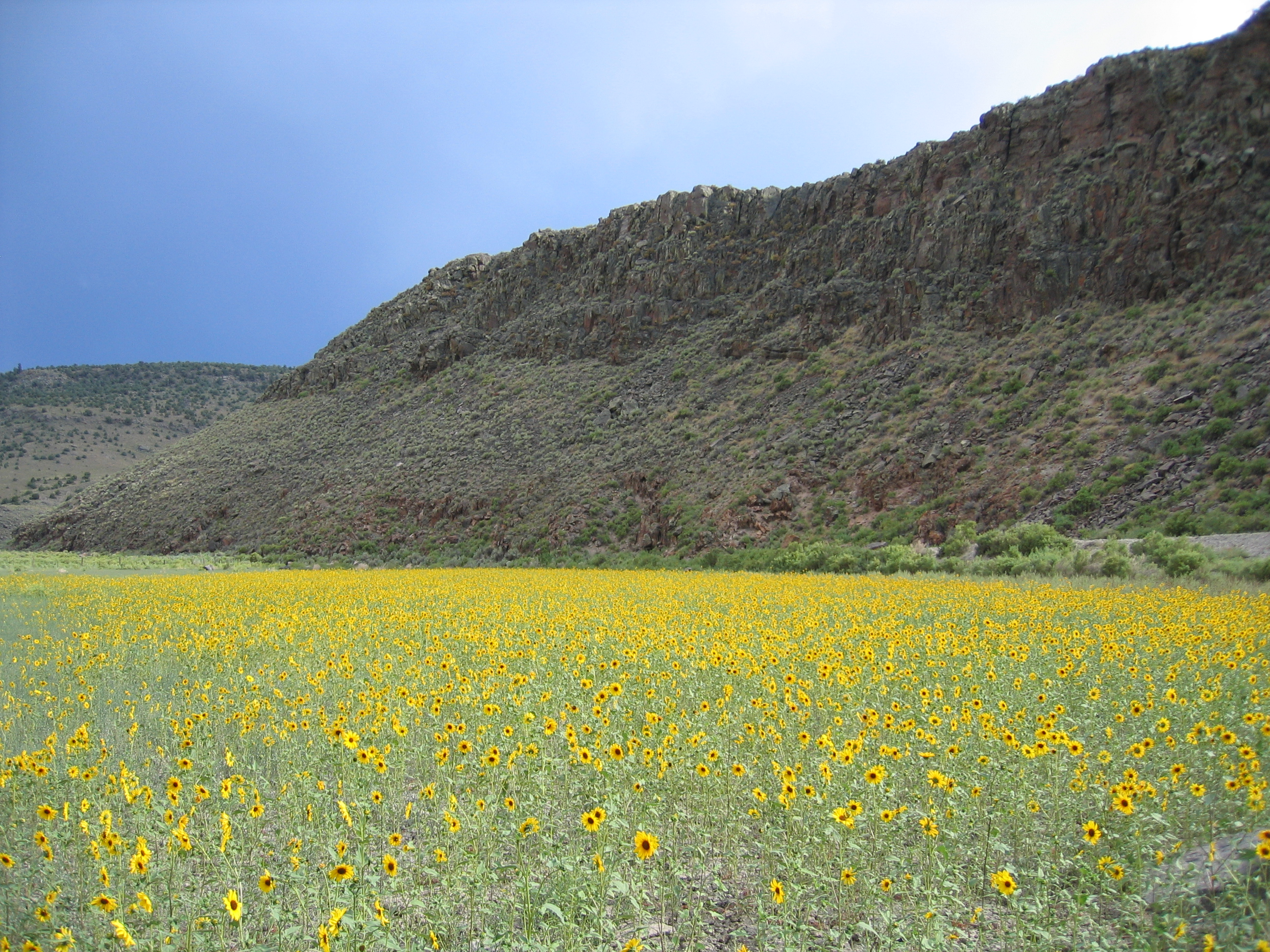
Nevada Sunset
Topographic Map of Flagstaff Mountain, Nevada, USA
Find elevation by address:

Places near Flagstaff Mountain, Nevada, USA:
Twin Peaks East
Amethyst Peak
Rawhide Mountain
Little Rawhide Mountain
Morey Peak
Mahogany Peak
Crescent Hogback
Fishhook Ridge
Nevada
Pahrump
Nye County
Table Mountain
Tulle Mountain
Black Rock Mountain
Moonshine Peak
Savory Mountain
Martin Ridge
Horse Heaven Mountain
Ninemile Peak
Stairstep Mountain
Recent Searches:
- Elevation of Corso Fratelli Cairoli, 35, Macerata MC, Italy
- Elevation of Tallevast Rd, Sarasota, FL, USA
- Elevation of 4th St E, Sonoma, CA, USA
- Elevation of Black Hollow Rd, Pennsdale, PA, USA
- Elevation of Oakland Ave, Williamsport, PA, USA
- Elevation of Pedrógão Grande, Portugal
- Elevation of Klee Dr, Martinsburg, WV, USA
- Elevation of Via Roma, Pieranica CR, Italy
- Elevation of Tavkvetili Mountain, Georgia
- Elevation of Hartfords Bluff Cir, Mt Pleasant, SC, USA