Elevation of Black Rock Mountain, Nevada, USA
Location: United States > Pahrump >
Longitude: -116.52784
Latitude: 38.877432
Elevation: 2835m / 9301feet
Barometric Pressure: 72KPa
Elevation Map:
Satellite Map:
Related Photos:

Image 17149.
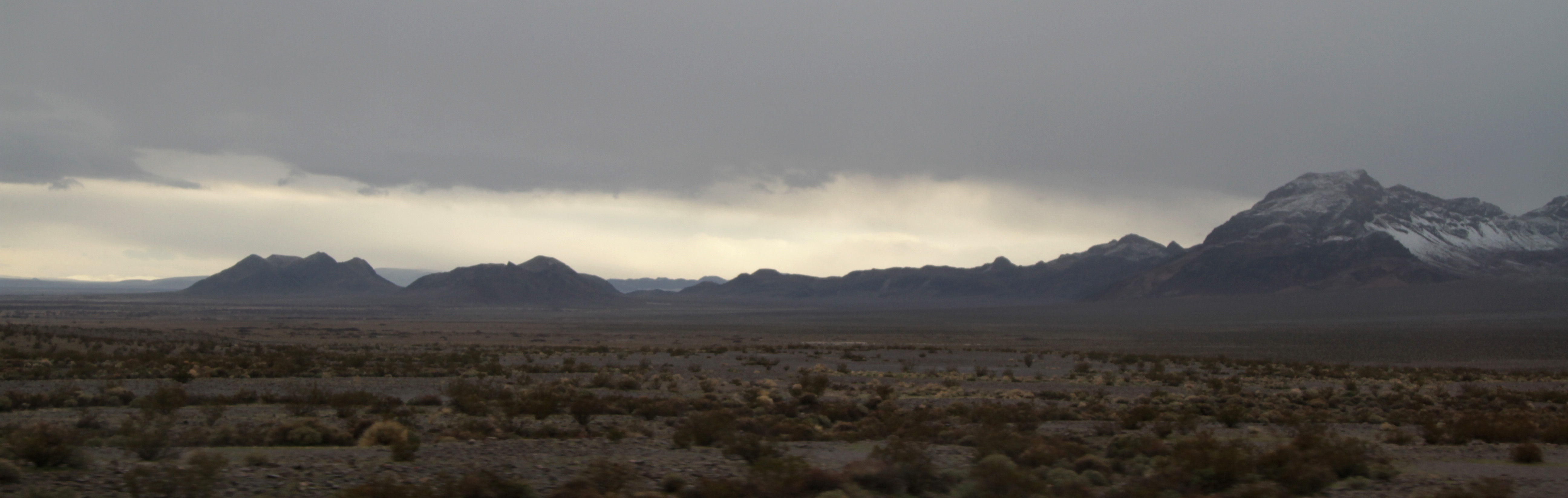
Image 17205.
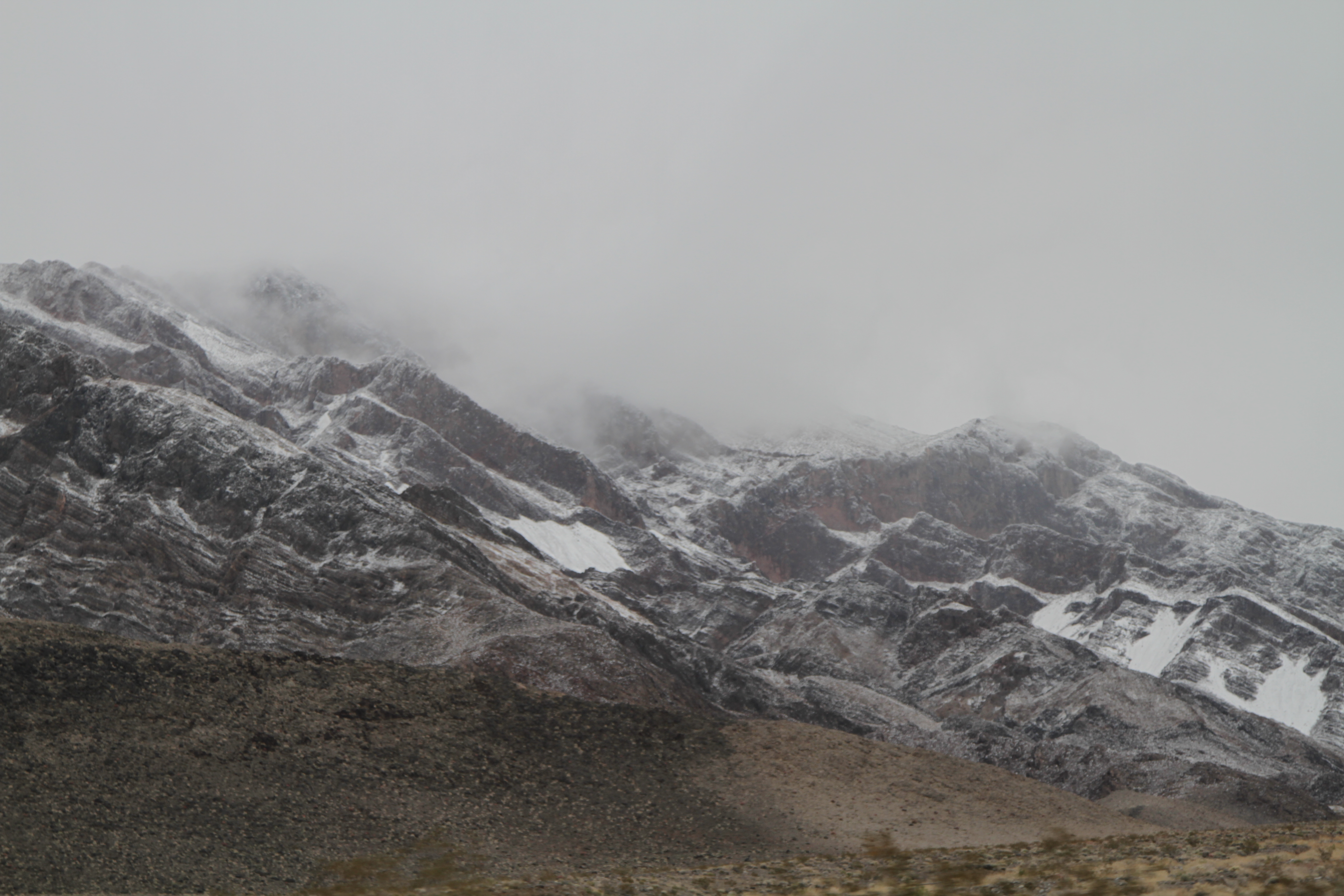
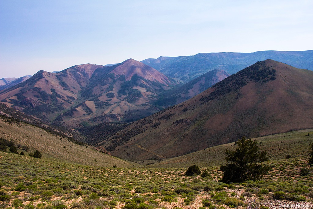
Image 17212.

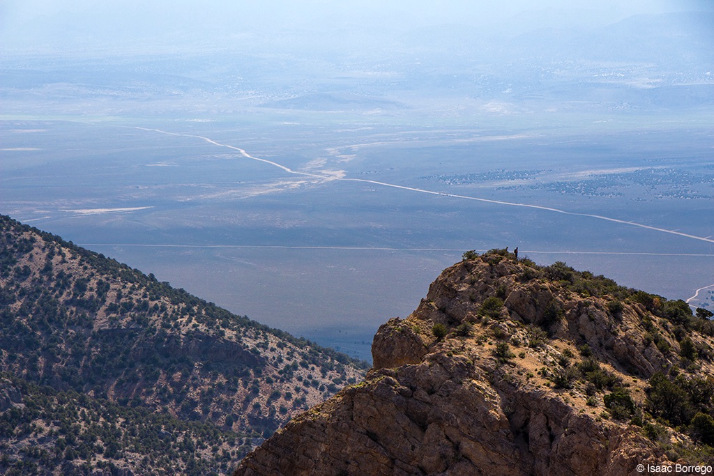
Image 01715.

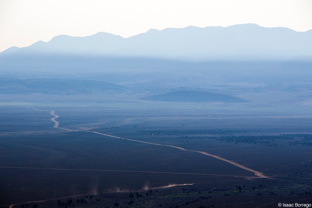
Smoke in the Mountains
The Scenic Route
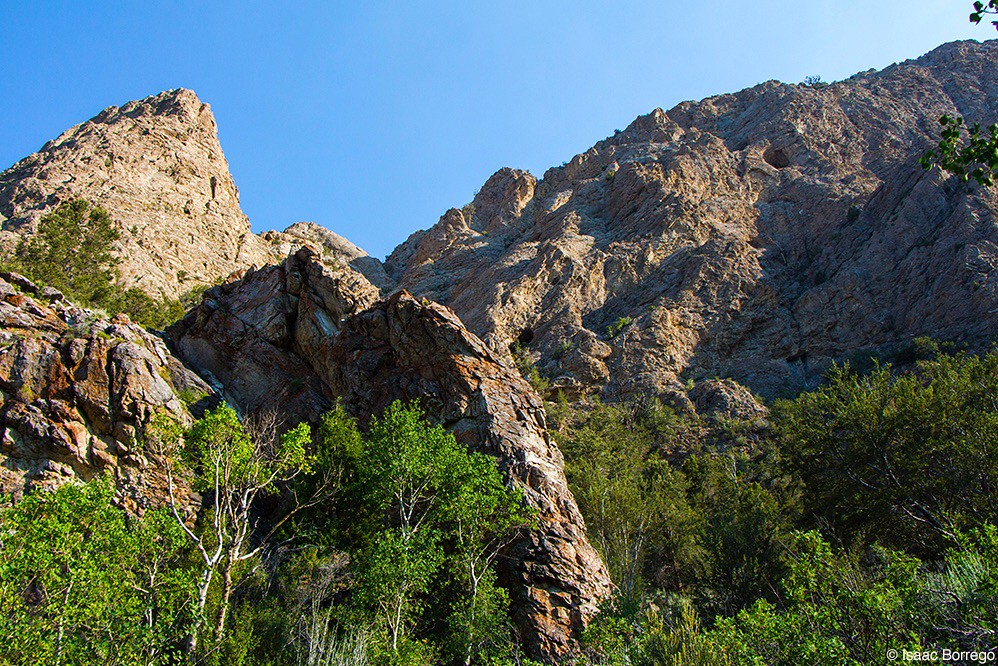
Above the Cliffs
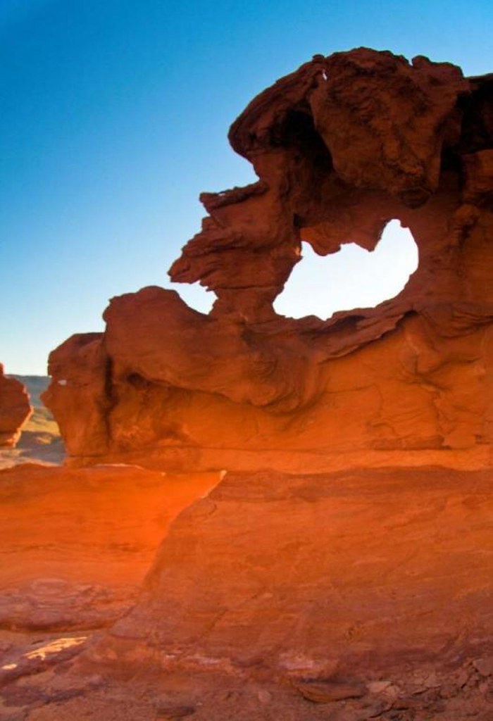
Little Finland
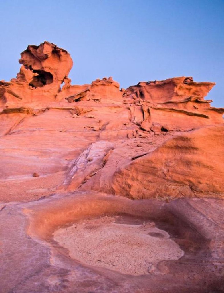
Little Finland

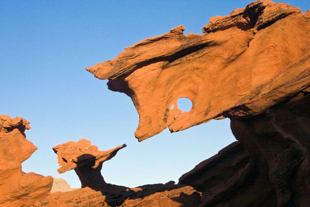
Little Finland
Little Finland

Monitor Mountains
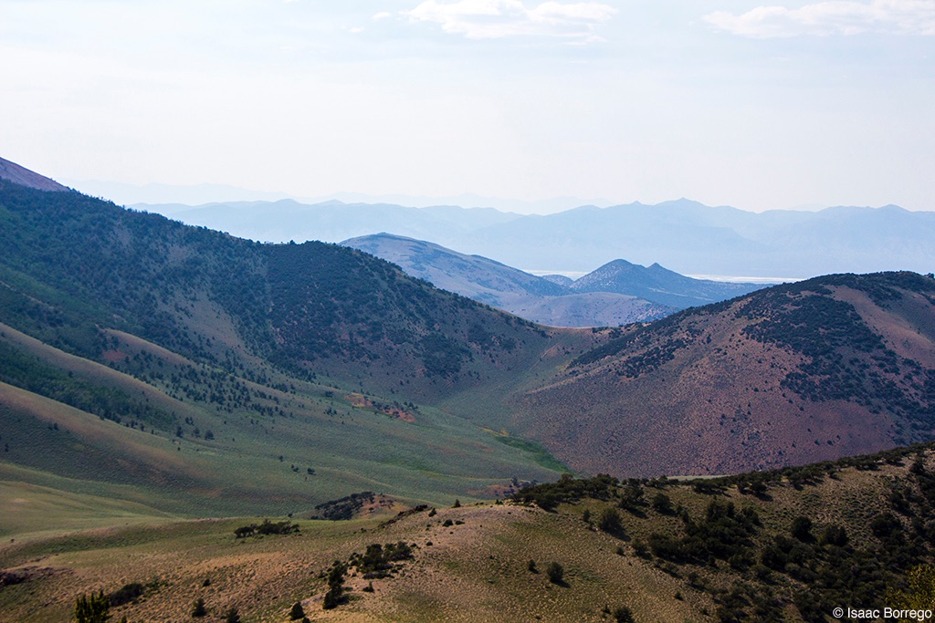
Meadows in the Mountains
Basin and Range Morning
Cliffs of Clear Creek
Topographic Map of Black Rock Mountain, Nevada, USA
Find elevation by address:

Places near Black Rock Mountain, Nevada, USA:
Tulle Mountain
Table Mountain
Nevada
Savory Mountain
Crescent Hogback
Horse Heaven Mountain
Fishhook Ridge
Martin Ridge
Moonshine Peak
Mahogany Peak
Morey Peak
Ninemile Peak
Flagstaff Mountain
Amethyst Peak
Twin Peaks East
Pahrump
Nye County
Rawhide Mountain
Little Rawhide Mountain
Dave Keane Mountain
Recent Searches:
- Elevation of Corso Fratelli Cairoli, 35, Macerata MC, Italy
- Elevation of Tallevast Rd, Sarasota, FL, USA
- Elevation of 4th St E, Sonoma, CA, USA
- Elevation of Black Hollow Rd, Pennsdale, PA, USA
- Elevation of Oakland Ave, Williamsport, PA, USA
- Elevation of Pedrógão Grande, Portugal
- Elevation of Klee Dr, Martinsburg, WV, USA
- Elevation of Via Roma, Pieranica CR, Italy
- Elevation of Tavkvetili Mountain, Georgia
- Elevation of Hartfords Bluff Cir, Mt Pleasant, SC, USA