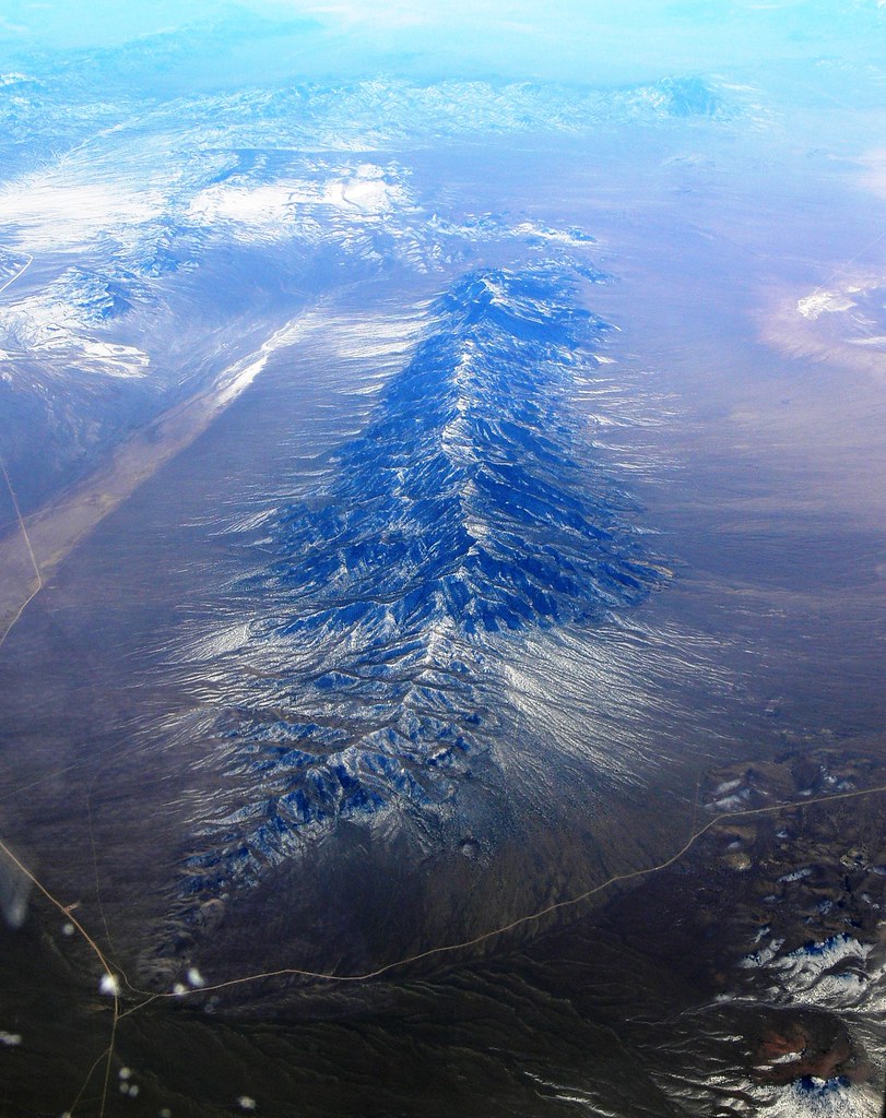
Elevation of Mystery Mountain, Nevada, USA
Location: United States > Nevada > Alamo >
Longitude: -115.6102778
Latitude: 38.0925
Elevation: 2311m / 7582feet
Barometric Pressure: 0KPa
Related Photos:

Curly seeds; Quinn Mountains, Nevada
Worthington Mountains
Topographic Map of Mystery Mountain, Nevada, USA
Find elevation by address:

Places near Mystery Mountain, Nevada, USA:
Cherry Creek Campground
Troy Mountain
Quinn Canyon Range Hp
Stairstep Mountain
Troy Peak
Timber Mountain
Blue Eagle Mountain
Pahrump
Nye County
White Pine Peak
Rawhide Mountain
Currant Mountain
Little Rawhide Mountain
Red Mountain
Twin Peaks East
Amethyst Peak
Red Mountain East
Duckwater Peak
Morey Peak
Flagstaff Mountain
Recent Searches:
- Elevation map of Greenland, Greenland
- Elevation of Sullivan Hill, New York, New York, 10002, USA
- Elevation of Morehead Road, Withrow Downs, Charlotte, Mecklenburg County, North Carolina, 28262, USA
- Elevation of 2800, Morehead Road, Withrow Downs, Charlotte, Mecklenburg County, North Carolina, 28262, USA
- Elevation of Yangbi Yi Autonomous County, Yunnan, China
- Elevation of Pingpo, Yangbi Yi Autonomous County, Yunnan, China
- Elevation of Mount Malong, Pingpo, Yangbi Yi Autonomous County, Yunnan, China
- Elevation map of Yongping County, Yunnan, China
- Elevation of North 8th Street, Palatka, Putnam County, Florida, 32177, USA
- Elevation of 107, Big Apple Road, East Palatka, Putnam County, Florida, 32131, USA
- Elevation of Jiezi, Chongzhou City, Sichuan, China
- Elevation of Chongzhou City, Sichuan, China
- Elevation of Huaiyuan, Chongzhou City, Sichuan, China
- Elevation of Qingxia, Chengdu, Sichuan, China
- Elevation of Corso Fratelli Cairoli, 35, Macerata MC, Italy
- Elevation of Tallevast Rd, Sarasota, FL, USA
- Elevation of 4th St E, Sonoma, CA, USA
- Elevation of Black Hollow Rd, Pennsdale, PA, USA
- Elevation of Oakland Ave, Williamsport, PA, USA
- Elevation of Pedrógão Grande, Portugal