Elevation of Limestone Peak, Nevada, USA
Location: United States > Nevada > Ely >
Longitude: -115.3383626
Latitude: 39.1449355
Elevation: 2495m / 8186feet
Barometric Pressure: 0KPa
Related Photos:

Camp at Cathedral
Cathedral Burned Area
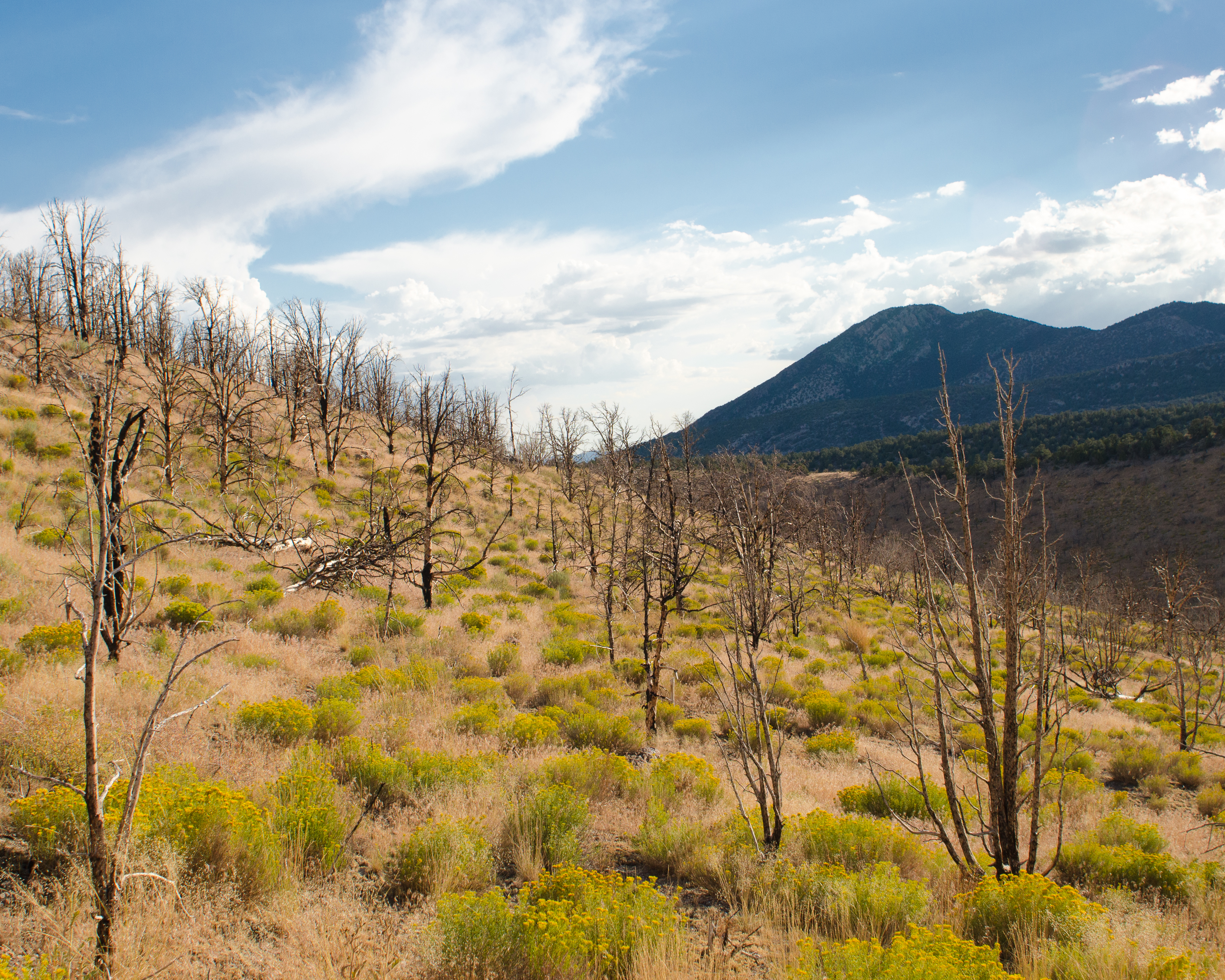
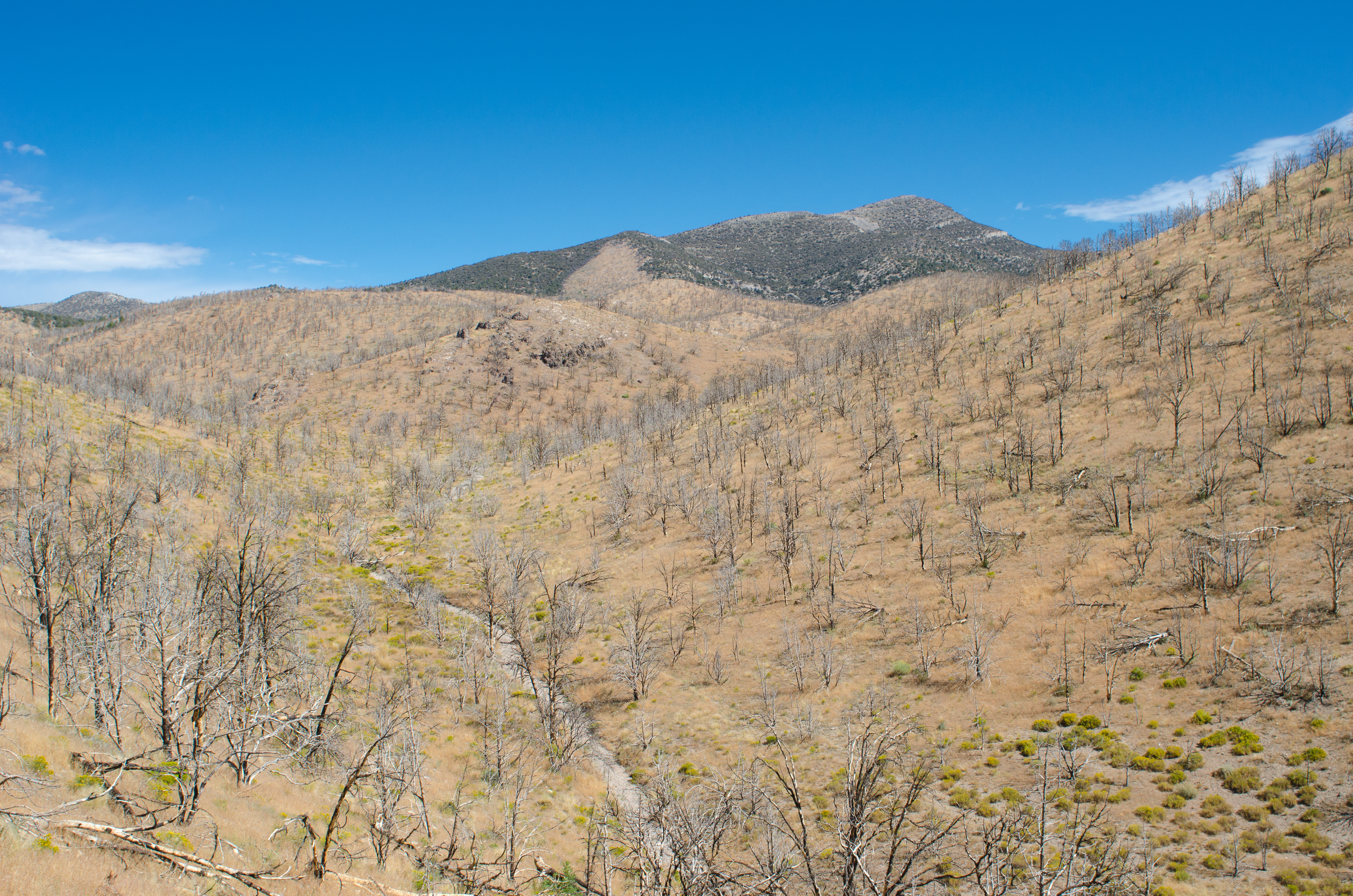
Cathedral Burned Area
Cathedral Burned Area

Cathedral Burned Area

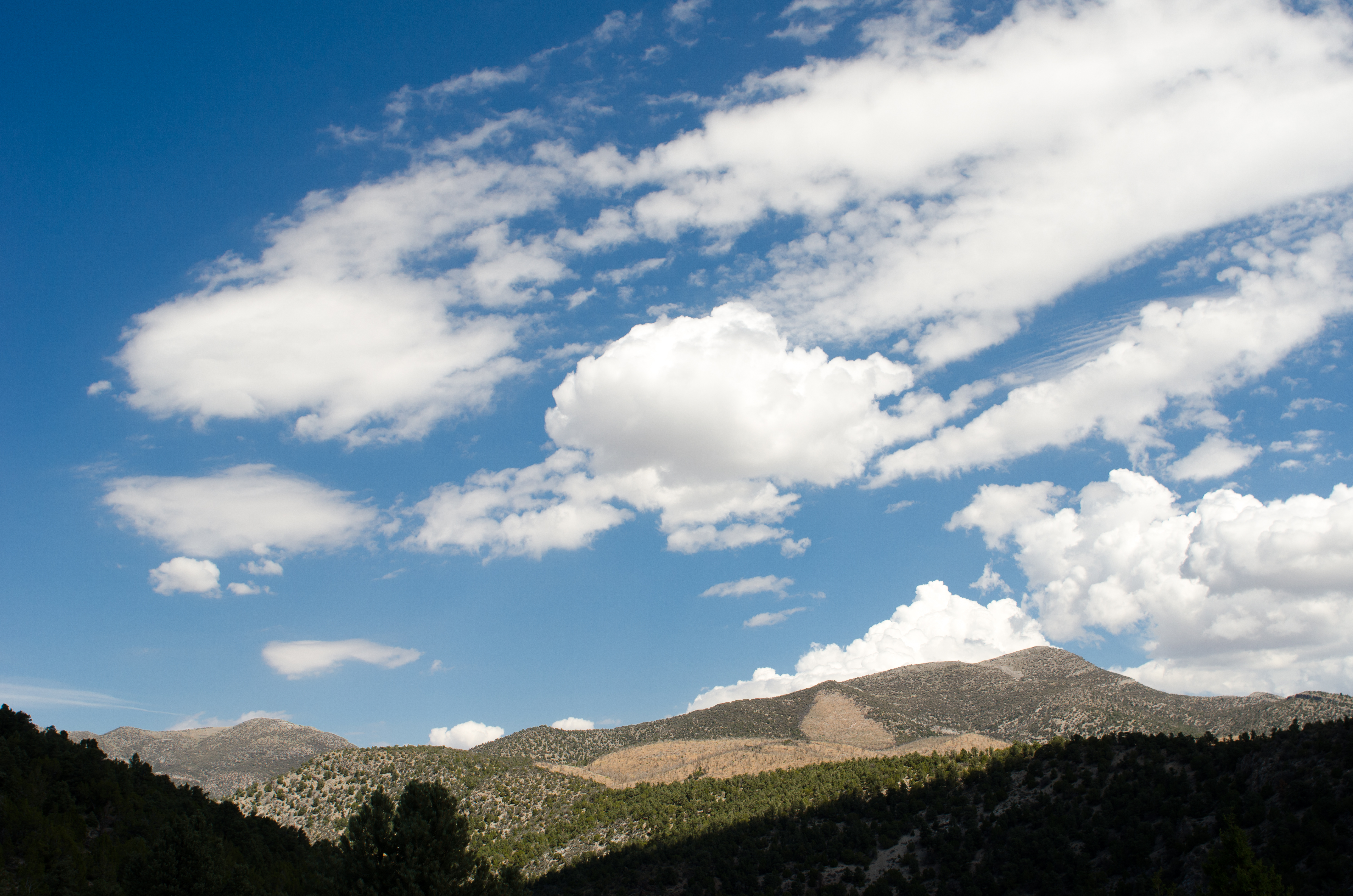
Cathedral Canyon

Yearling Mule Deer

Petrophyton caespitosum
Topographic Map of Limestone Peak, Nevada, USA
Find elevation by address:

Places near Limestone Peak, Nevada, USA:
Shellback Ridge
Indian Garden Mountain
Mokomoke Hill
Treasure Hill
Corduroy Mountain
Illipah Campground
White River Campground
Pogonip Ridge
Mount Hamilton
Duckwater Peak
Red Mountain East
Red Mountain
Buster Mountain
Currant Mountain
White Pine Peak
Blue Eagle Mountain
Dave Keane Mountain
Timber Mountain
Troy Peak
Pahrump
Recent Searches:
- Elevation of 908, Northwood Drive, Bridge Field, Chesapeake, Virginia, 23322, USA
- Elevation map of Nagano Prefecture, Japan
- Elevation of 587, Bascule Drive, Oakdale, Stanislaus County, California, 95361, USA
- Elevation of Stadion Wankdorf, Sempachstrasse, Breitfeld, Bern, Bern-Mittelland administrative district, Bern, 3014, Switzerland
- Elevation of Z024, 76, Emil-von-Behring-Straße, Marbach, Marburg, Landkreis Marburg-Biedenkopf, Hesse, 35041, Germany
- Elevation of Gaskill Road, Hunts Cross, Liverpool, England, L24 9PH, United Kingdom
- Elevation of Speke, Liverpool, England, L24 9HD, United Kingdom
- Elevation of Seqirus, 475, Green Oaks Parkway, Holly Springs, Wake County, North Carolina, 27540, USA
- Elevation of Pasing, Munich, Bavaria, 81241, Germany
- Elevation of 24, Auburn Bay Crescent SE, Auburn Bay, Calgary, Alberta, T3M 0A6, Canada
- Elevation of Denver, 2314, Arapahoe Street, Five Points, Denver, Colorado, 80205, USA
- Elevation of Community of the Beatitudes, 2924, West 43rd Avenue, Sunnyside, Denver, Colorado, 80211, USA
- Elevation map of Litang County, Sichuan, China
- Elevation map of Madoi County, Qinghai, China
- Elevation of 3314, Ohio State Route 114, Payne, Paulding County, Ohio, 45880, USA
- Elevation of Sarahills Drive, Saratoga, Santa Clara County, California, 95070, USA
- Elevation of Town of Bombay, Franklin County, New York, USA
- Elevation of 9, Convent Lane, Center Moriches, Suffolk County, New York, 11934, USA
- Elevation of Saint Angelas Convent, 9, Convent Lane, Center Moriches, Suffolk County, New York, 11934, USA
- Elevation of 131st Street Southwest, Mukilteo, Snohomish County, Washington, 98275, USA