Elevation of Shellback Ridge, Nevada, USA
Location: United States > Nevada > White Pine County >
Longitude: -115.38
Latitude: 39.1141666
Elevation: 2656m / 8714feet
Barometric Pressure: 73KPa
Elevation Map:
Satellite Map:
Related Photos:

Camp at Cathedral
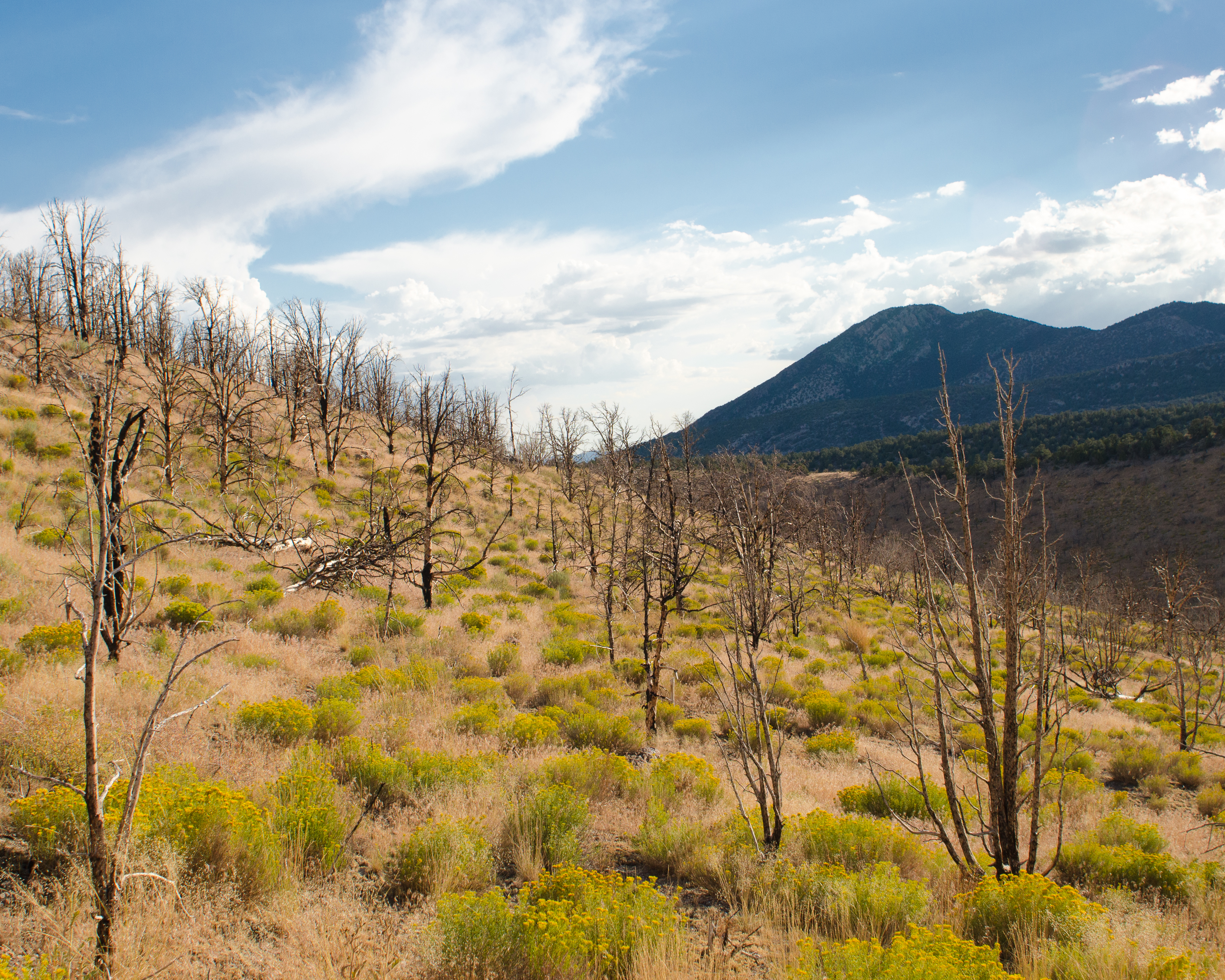
Cathedral Burned Area
Cathedral Burned Area
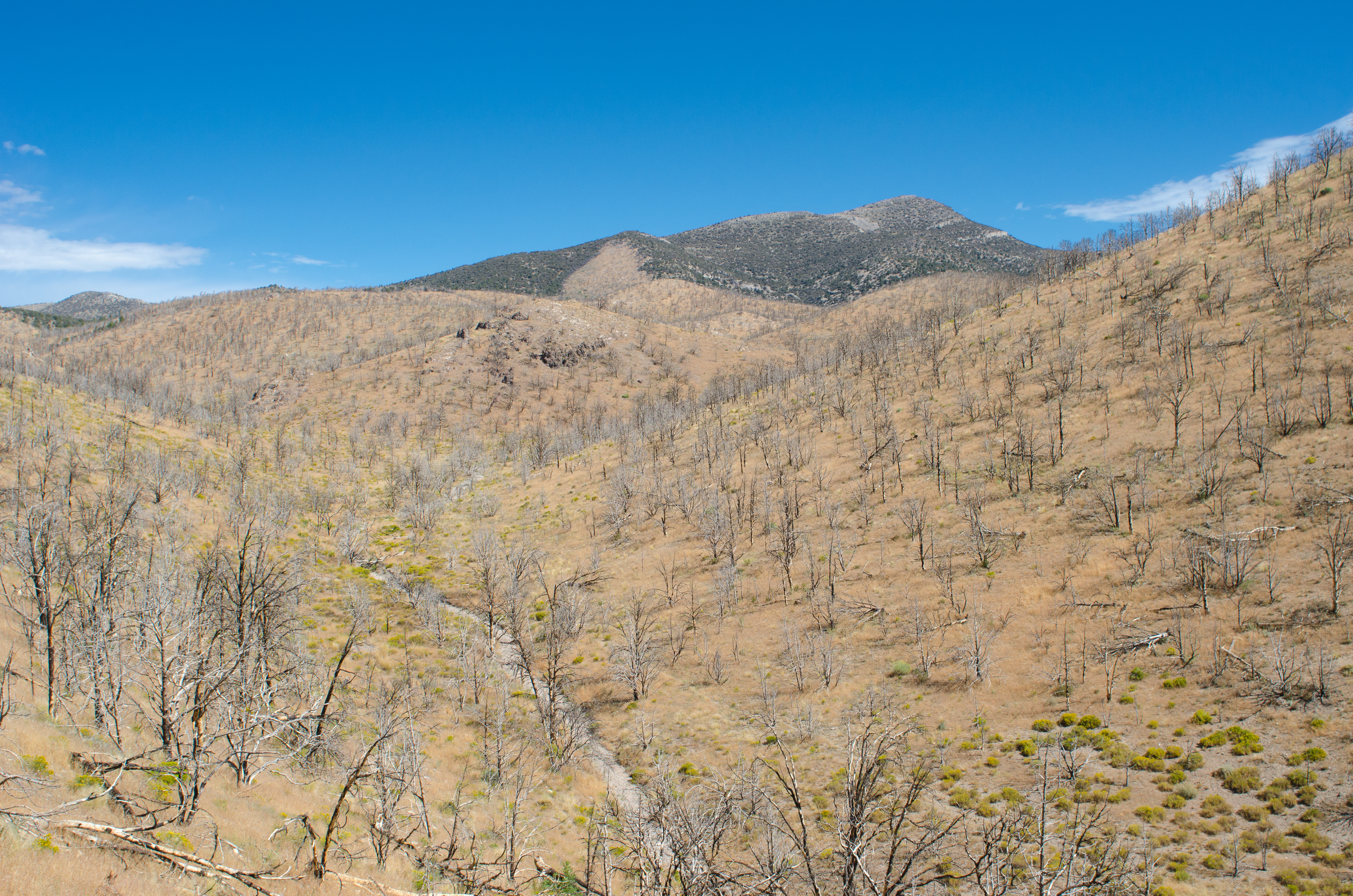
Cathedral Burned Area

Cathedral Burned Area

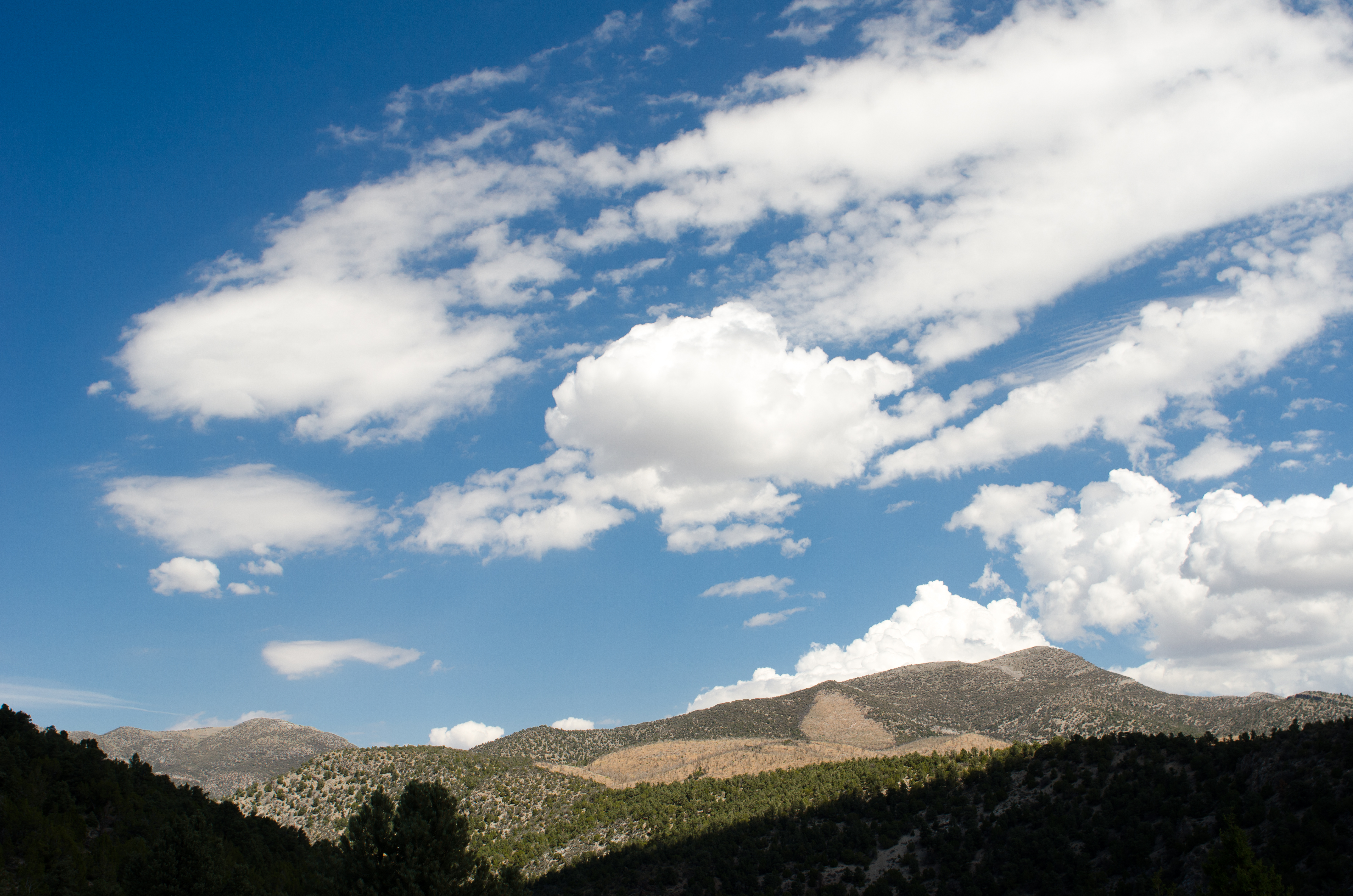
Cathedral Canyon
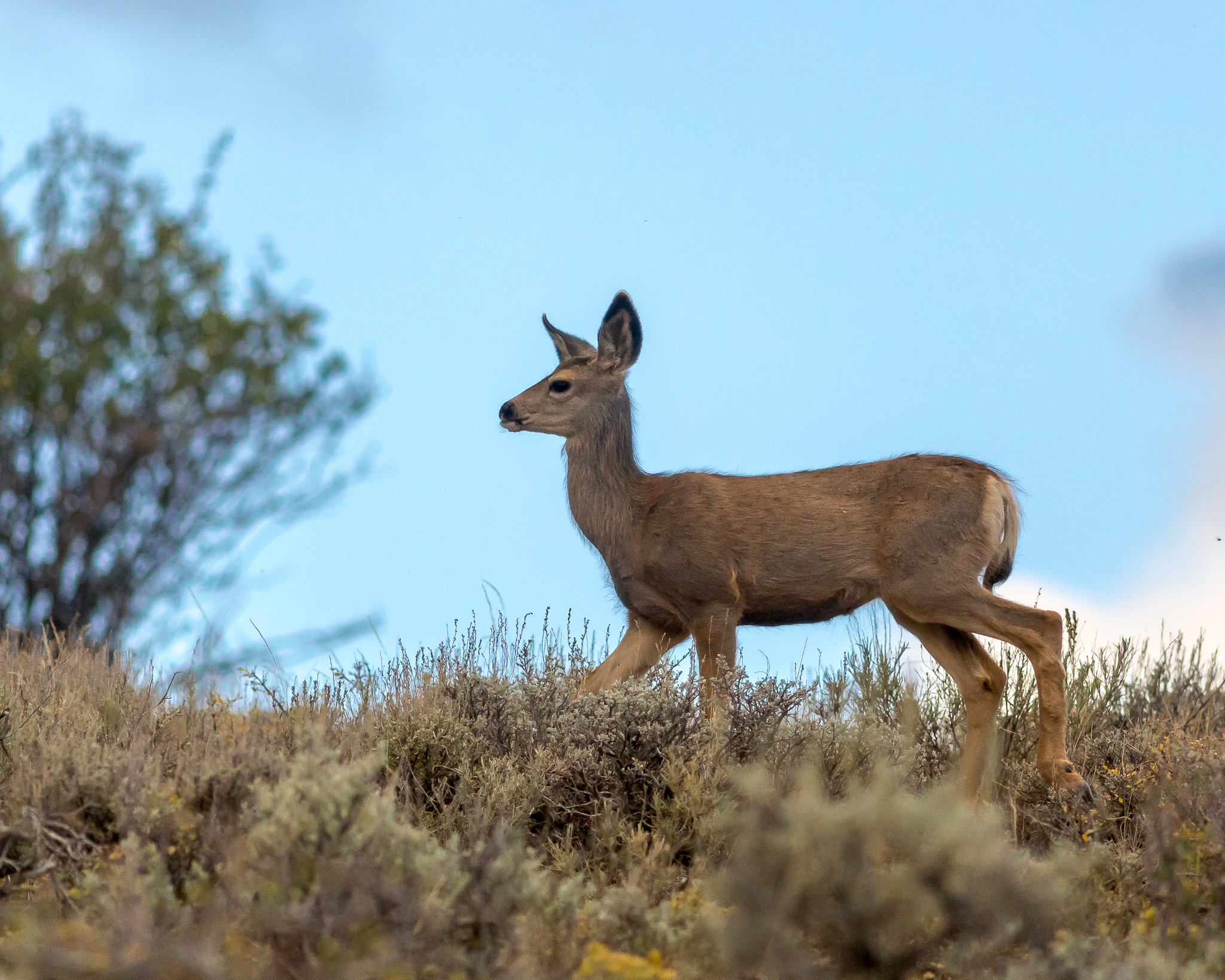
Yearling Mule Deer
Petrophyton caespitosum
Topographic Map of Shellback Ridge, Nevada, USA
Find elevation by address:

Places near Shellback Ridge, Nevada, USA:
Indian Garden Mountain
Limestone Peak
Mokomoke Hill
Corduroy Mountain
Treasure Hill
White River Campground
Pogonip Ridge
Duckwater Peak
Illipah Campground
Mount Hamilton
Currant Mountain
Red Mountain East
Red Mountain
White Pine Peak
Buster Mountain
Blue Eagle Mountain
Dave Keane Mountain
Timber Mountain
Troy Peak
Pahrump
Recent Searches:
- Elevation of Corso Fratelli Cairoli, 35, Macerata MC, Italy
- Elevation of Tallevast Rd, Sarasota, FL, USA
- Elevation of 4th St E, Sonoma, CA, USA
- Elevation of Black Hollow Rd, Pennsdale, PA, USA
- Elevation of Oakland Ave, Williamsport, PA, USA
- Elevation of Pedrógão Grande, Portugal
- Elevation of Klee Dr, Martinsburg, WV, USA
- Elevation of Via Roma, Pieranica CR, Italy
- Elevation of Tavkvetili Mountain, Georgia
- Elevation of Hartfords Bluff Cir, Mt Pleasant, SC, USA