Elevation of Thompson Rd, Westmoreland, TN, USA
Location: United States > Tennessee > Sumner County > Westmoreland >
Longitude: -86.374219
Latitude: 36.624967
Elevation: 250m / 820feet
Barometric Pressure: 98KPa
Elevation Map:
Satellite Map:
Related Photos:

Go with the Flow

horse and buggy

Invasion of Kentucky
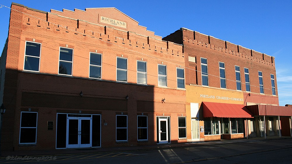
Portland, Tennessee
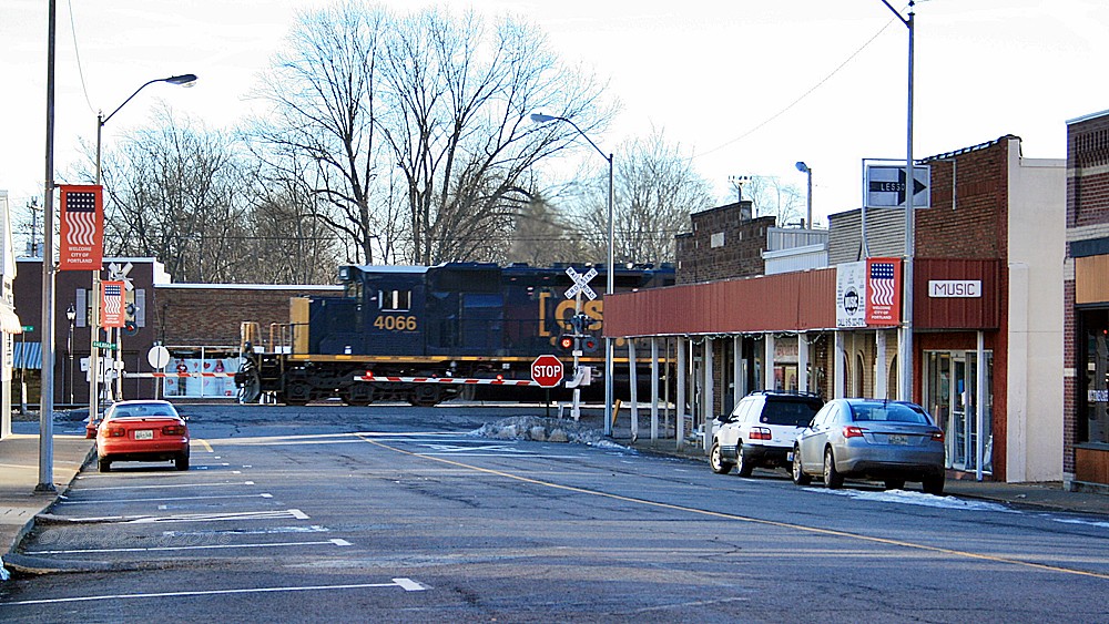
Portland, Tennessee

Portland, Tennessee

Portland, Tennessee

Portland, TN music store
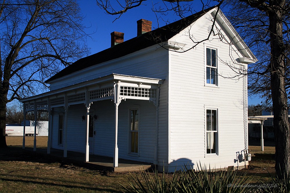
Moye Boarding House
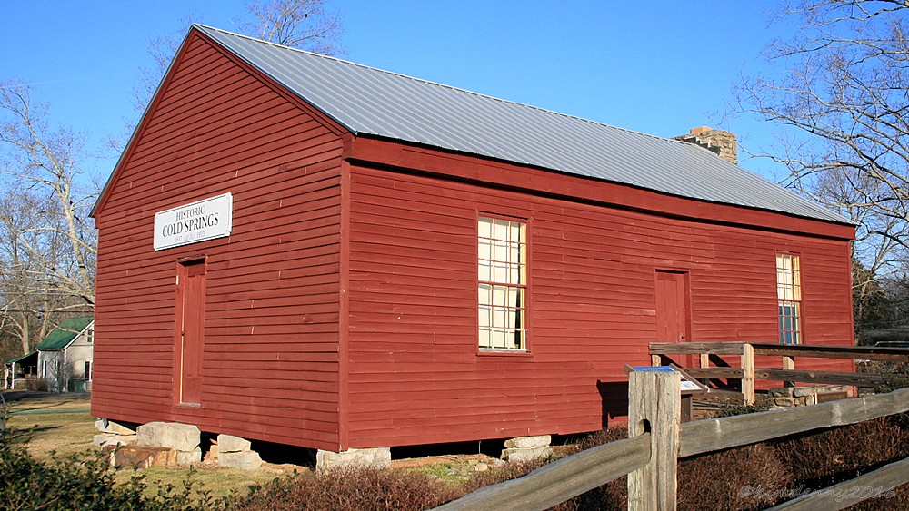
Cold Springs School
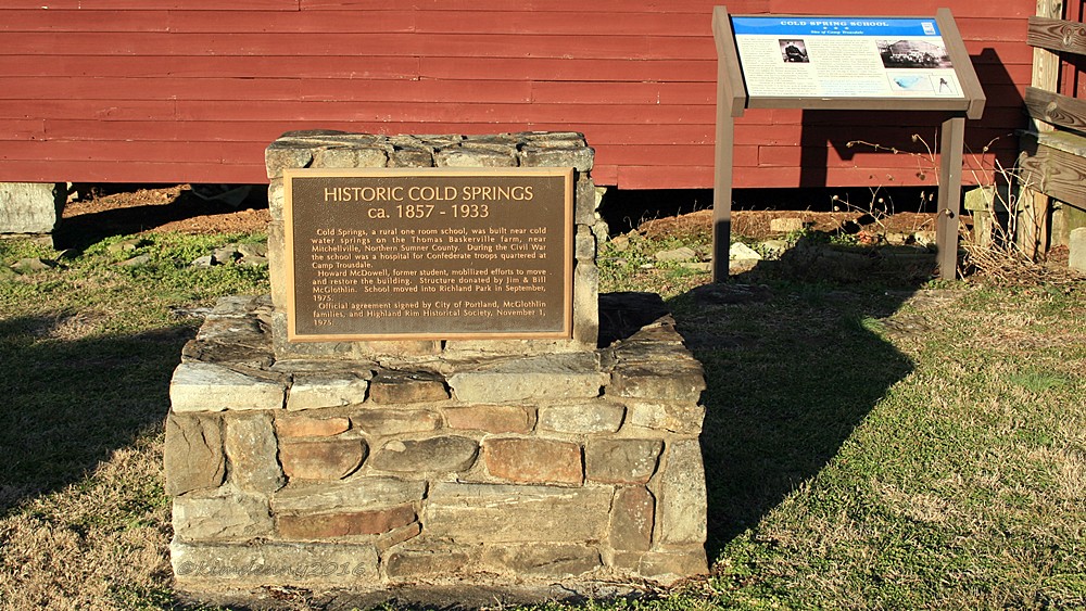
Cold Springs School
Topographic Map of Thompson Rd, Westmoreland, TN, USA
Find elevation by address:

Places near Thompson Rd, Westmoreland, TN, USA:
Nubia Rd, Westmoreland, TN, USA
901-907
2915 Oak Grove Church Rd
Ada Coats Road
Luby Brown Rd, Westmoreland, TN, USA
239 Martin Chapel Rd
1105 Gaines Hill Rd
121 Martin Rd
9095 Scottsville Rd
Scottsville Rd, Franklin, KY, USA
323 Reeder School Rd
420 Henry Harris Rd
Hack Brown Rd, Franklin, KY, USA
Adolphus
Westmoreland, TN, USA
State Highway 3500
5722 Hauskins Ln
Rocky Mound Rd, Westmoreland, TN, USA
4538 Rocky Mound Rd
Recent Searches:
- Elevation of Corso Fratelli Cairoli, 35, Macerata MC, Italy
- Elevation of Tallevast Rd, Sarasota, FL, USA
- Elevation of 4th St E, Sonoma, CA, USA
- Elevation of Black Hollow Rd, Pennsdale, PA, USA
- Elevation of Oakland Ave, Williamsport, PA, USA
- Elevation of Pedrógão Grande, Portugal
- Elevation of Klee Dr, Martinsburg, WV, USA
- Elevation of Via Roma, Pieranica CR, Italy
- Elevation of Tavkvetili Mountain, Georgia
- Elevation of Hartfords Bluff Cir, Mt Pleasant, SC, USA