Elevation of Scottsville Rd, Franklin, KY, USA
Location: United States > Kentucky >
Longitude: -86.417765
Latitude: 36.7050853
Elevation: 184m / 604feet
Barometric Pressure: 99KPa
Elevation Map:
Satellite Map:
Related Photos:

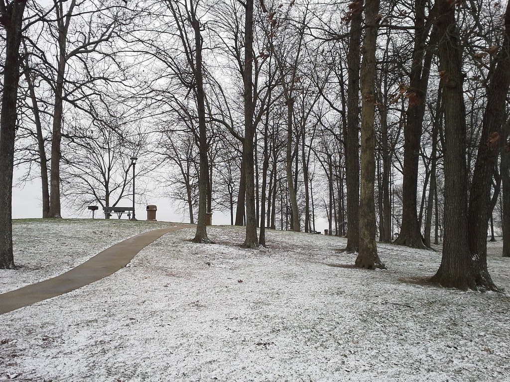
Alvaton 1
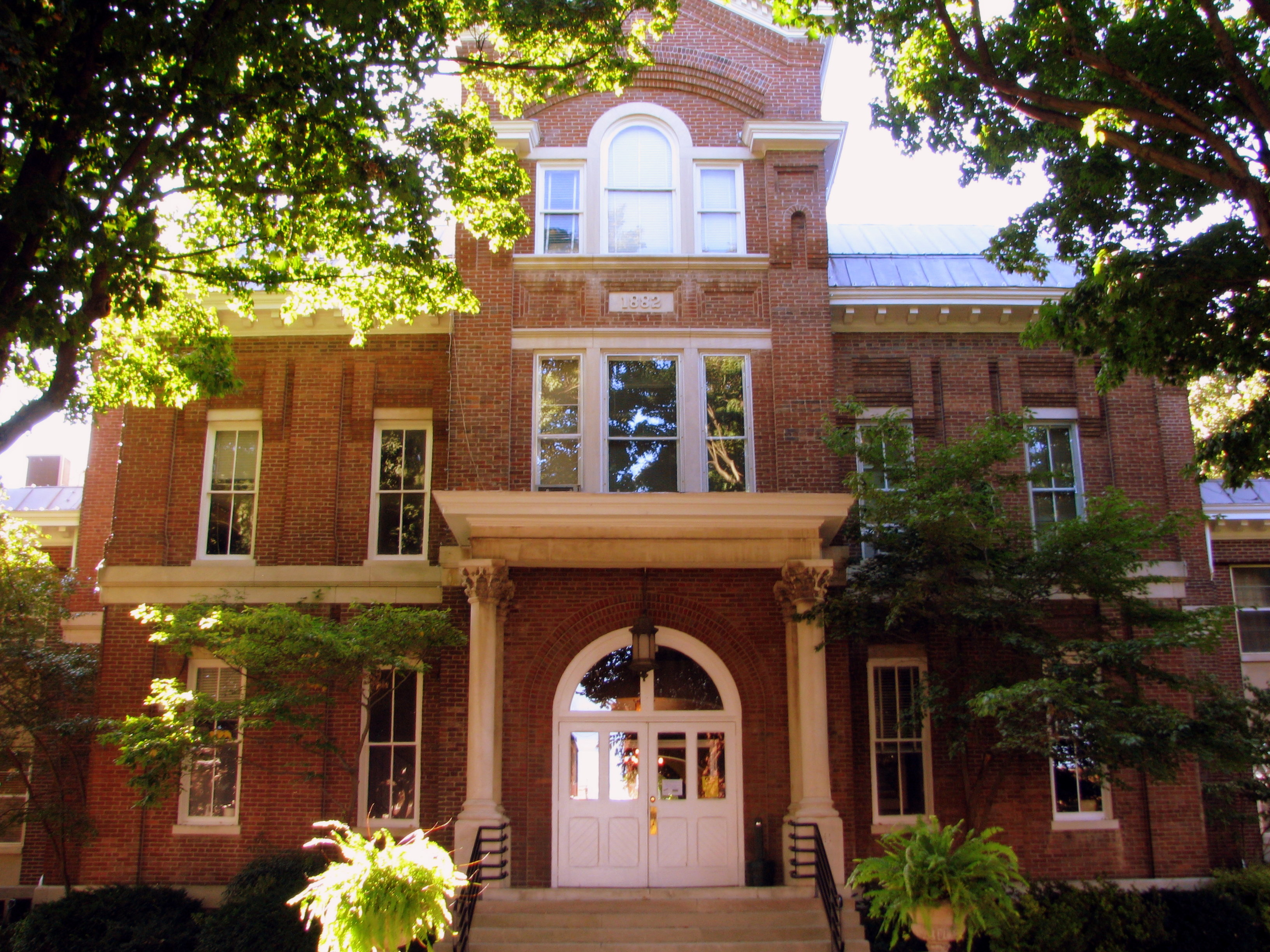
Simpson County Courthouse 3 - Front

Simpson County Courthouse 4 - rear entrance

Simpson County Courthouse 1 - Clock Tower
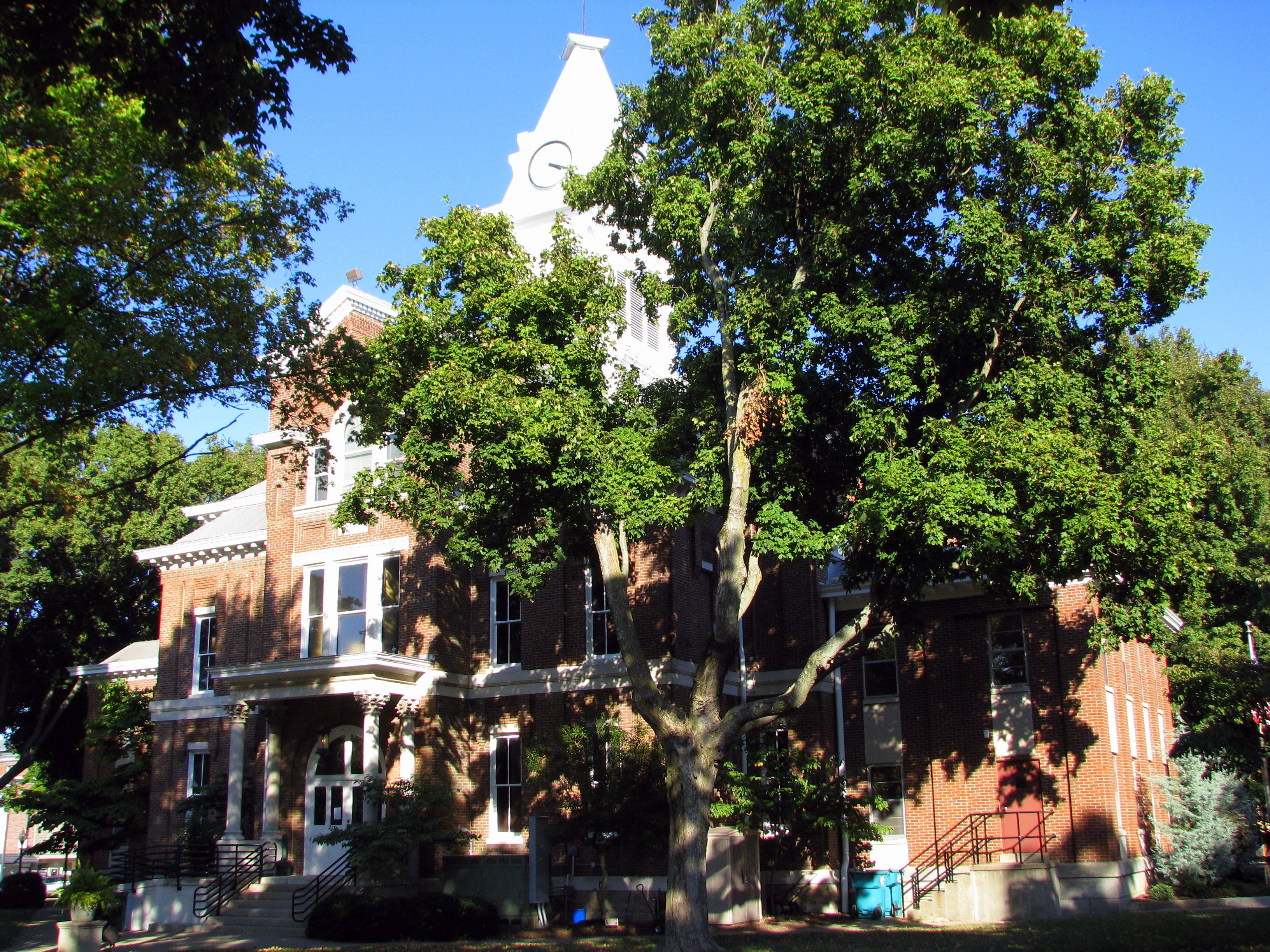
Simpson County Courthouse 5 - back view
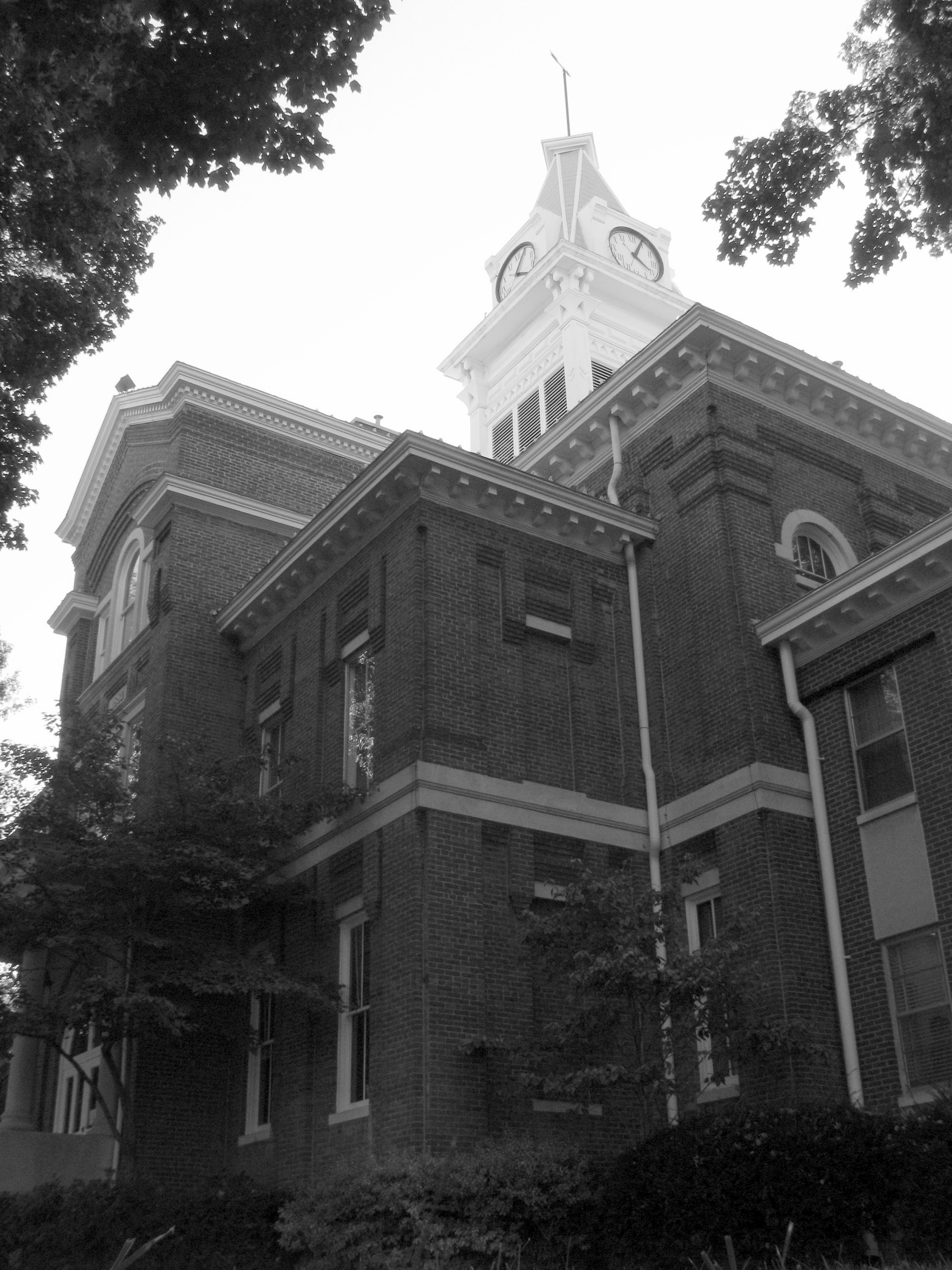
Simpson County Courthouse 2 b/w front corner
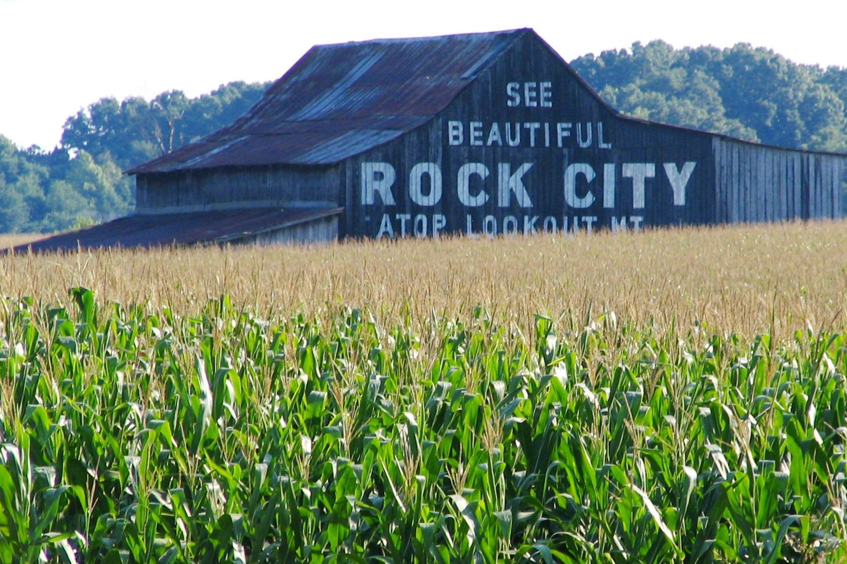
See Beautiful Rock City

Kentucky Downs Race 2
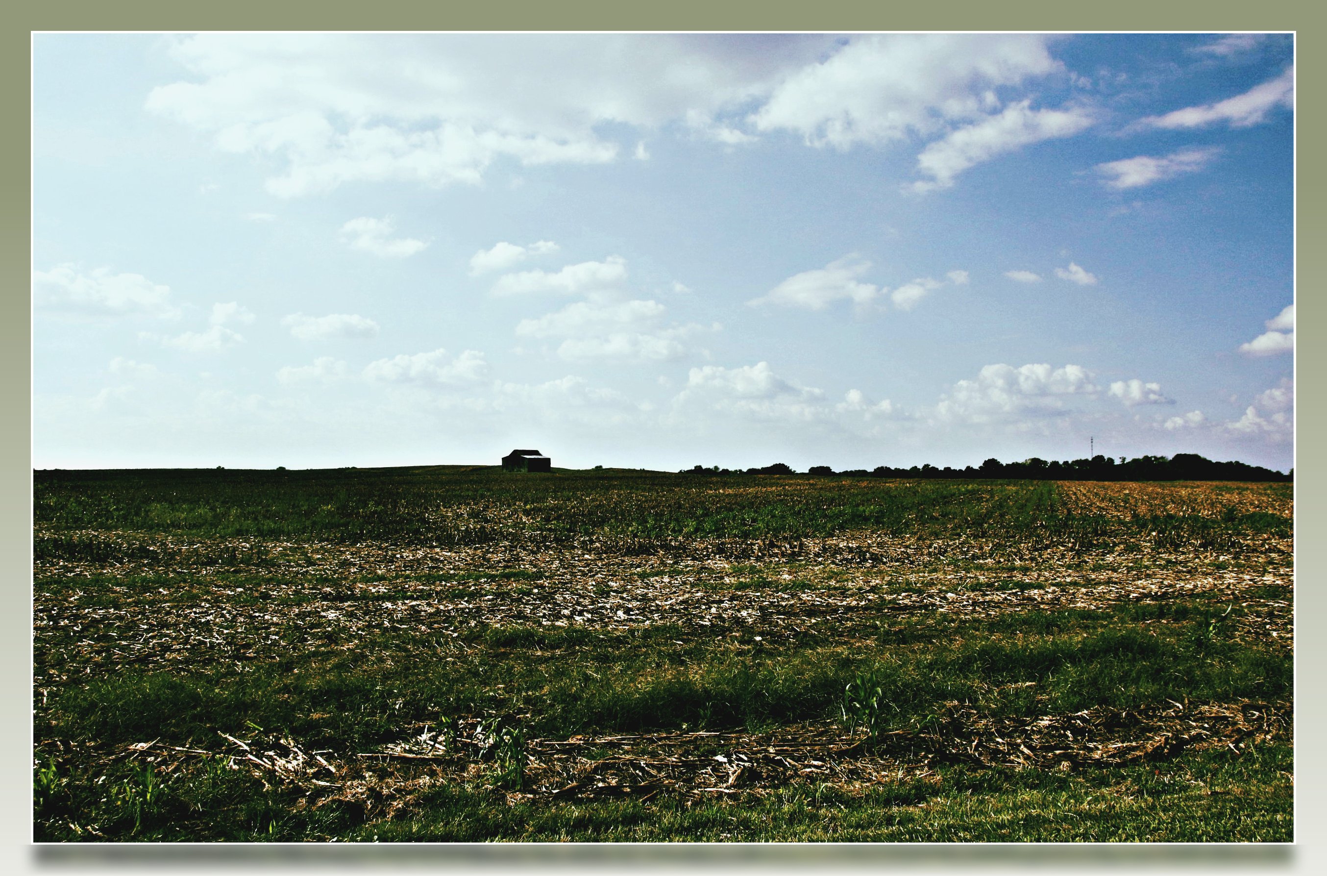
Kentucky Farm
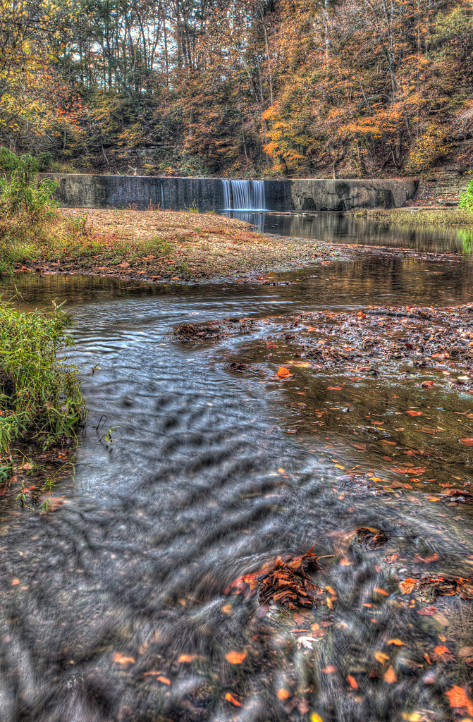
Go with the Flow

bonnaroo 2014 bound
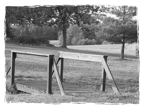
Playground Bridge

クリスマス2013

KY shots

2010-07-05 17.42.27
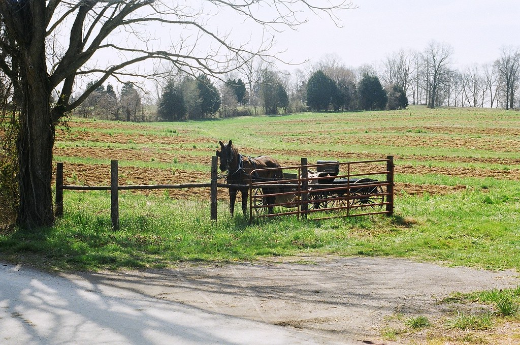
horse and buggy
Kentucky Welcome Center rest area
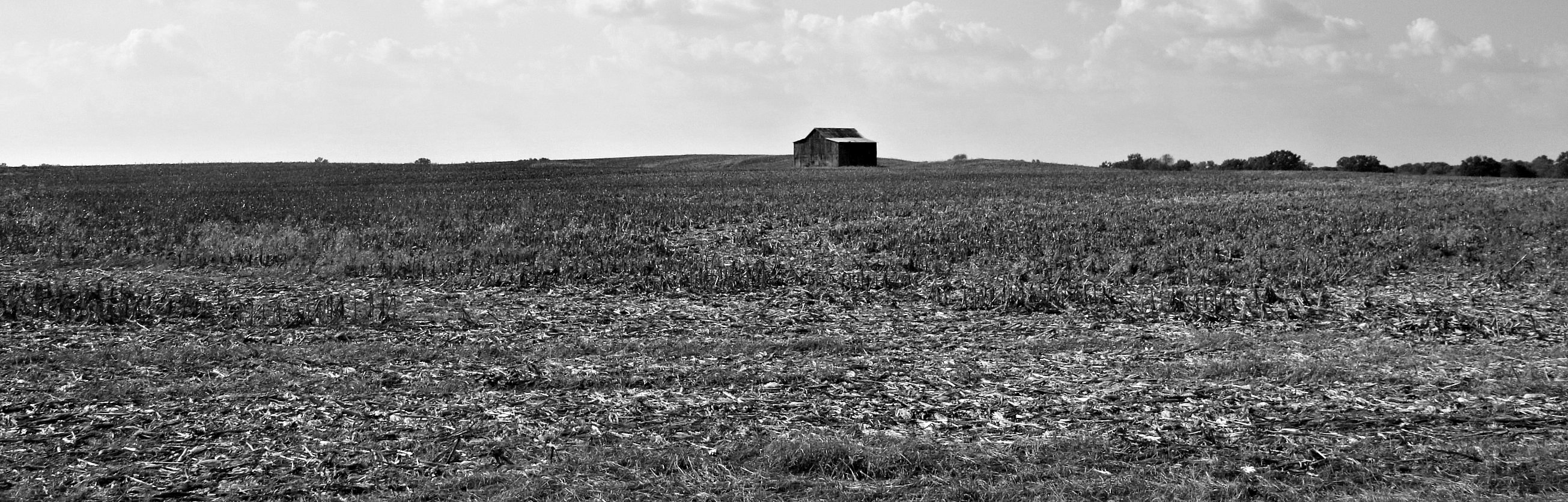
Kentucky Farm

Joe Diffie at Kentucky Downs
Topographic Map of Scottsville Rd, Franklin, KY, USA
Find elevation by address:

Places near Scottsville Rd, Franklin, KY, USA:
323 Reeder School Rd
9095 Scottsville Rd
Hack Brown Rd, Franklin, KY, USA
901-907
239 Martin Chapel Rd
Thompson Rd, Westmoreland, TN, USA
Nubia Rd, Westmoreland, TN, USA
121 Martin Rd
Ada Coats Road
1105 Gaines Hill Rd
2915 Oak Grove Church Rd
Luby Brown Rd, Westmoreland, TN, USA
Adolphus
State Highway 3500
420 Henry Harris Rd
Westmoreland, TN, USA
5722 Hauskins Ln
Rocky Mound Rd, Westmoreland, TN, USA
4538 Rocky Mound Rd
Recent Searches:
- Elevation of Corso Fratelli Cairoli, 35, Macerata MC, Italy
- Elevation of Tallevast Rd, Sarasota, FL, USA
- Elevation of 4th St E, Sonoma, CA, USA
- Elevation of Black Hollow Rd, Pennsdale, PA, USA
- Elevation of Oakland Ave, Williamsport, PA, USA
- Elevation of Pedrógão Grande, Portugal
- Elevation of Klee Dr, Martinsburg, WV, USA
- Elevation of Via Roma, Pieranica CR, Italy
- Elevation of Tavkvetili Mountain, Georgia
- Elevation of Hartfords Bluff Cir, Mt Pleasant, SC, USA